![Cover image](https://images.tarmacs.app/cycling-routes/photos/france/rhone-alpes/332076710/nozieres-1.webp)
Panoramastraßen und Bergpässe
Eine road-Radroute, die von Saint-Agreve aus startet.
Eine abwechslungsreiche Straßenroute durch die hügelige Landschaft der Rhône-Alpes.
Karte
![Karten-Miniaturansicht der Radinspiration "Panoramastraßen und Bergpässe" in Rhône-Alpes, France. Erstellt vom Tarmacs.app-Routenplaner für Radtouren](https://images.tarmacs.app/cycling-routes/routemaps/600/france/rhone-alpes/saint-agreve/road/215488.webp)
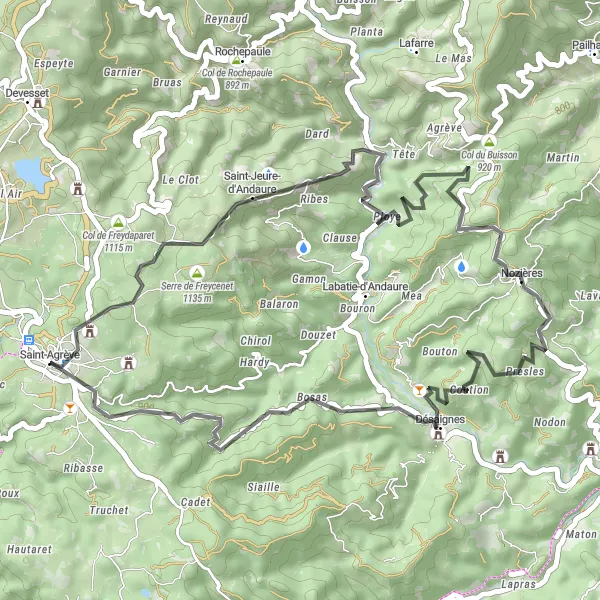
Auf dieser 49 km langen Tour erklimmen Sie den Col de Brun, Col du Buisson, Nozières und Désaignes. Genießen Sie die herausfordernden Anstiege und die atemberaubenden Ausblicke auf die umliegenden Berge.
road
49 km
1356 m
Schwierig
Streckenprofil
Höhepunkte auf der Strecke
0 km
0 km
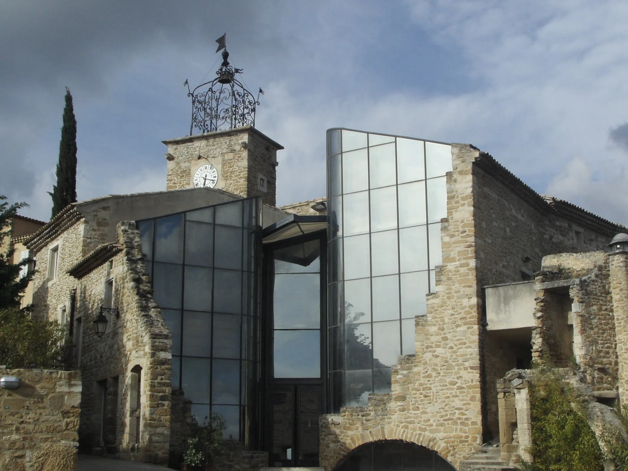
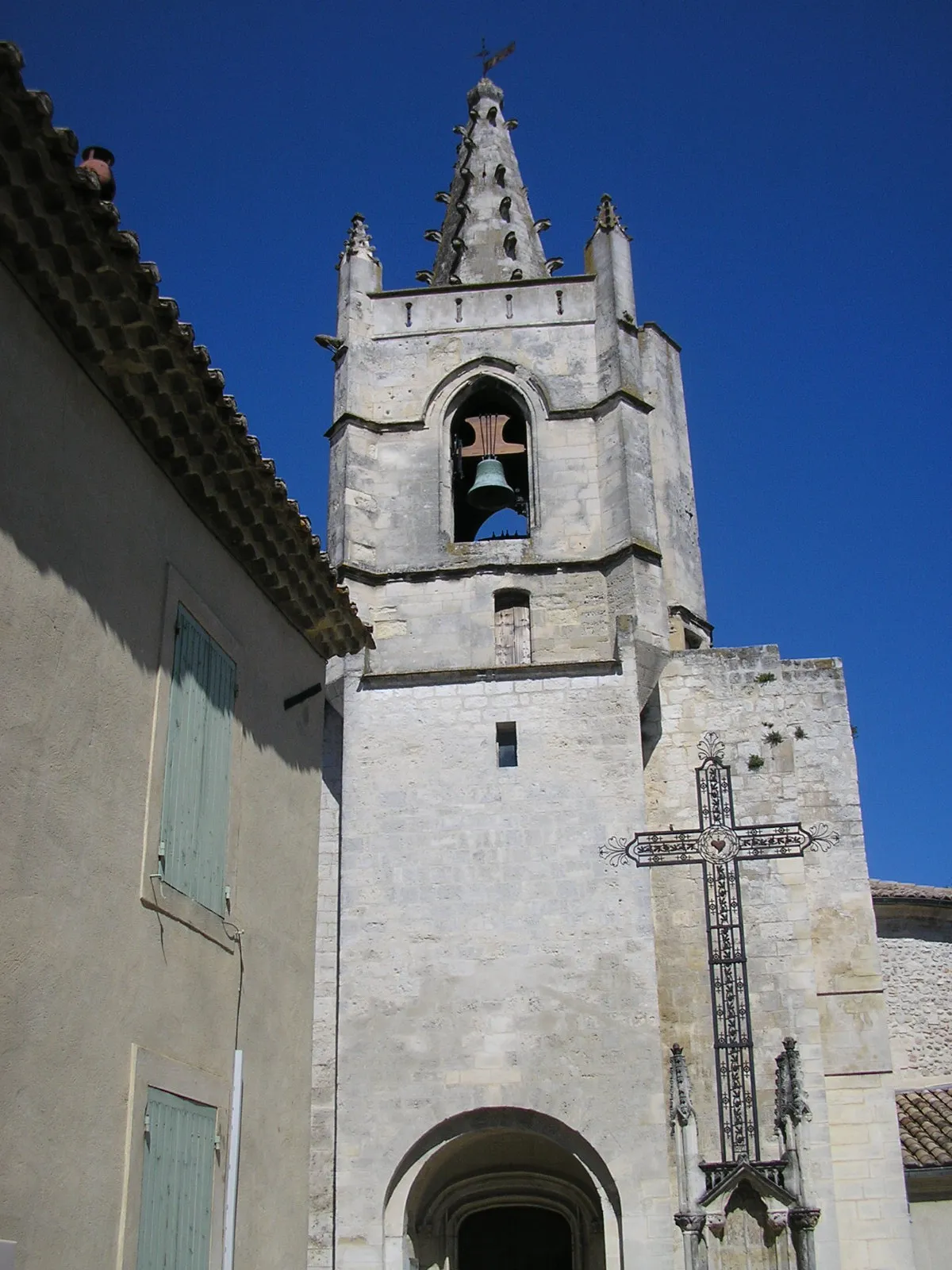
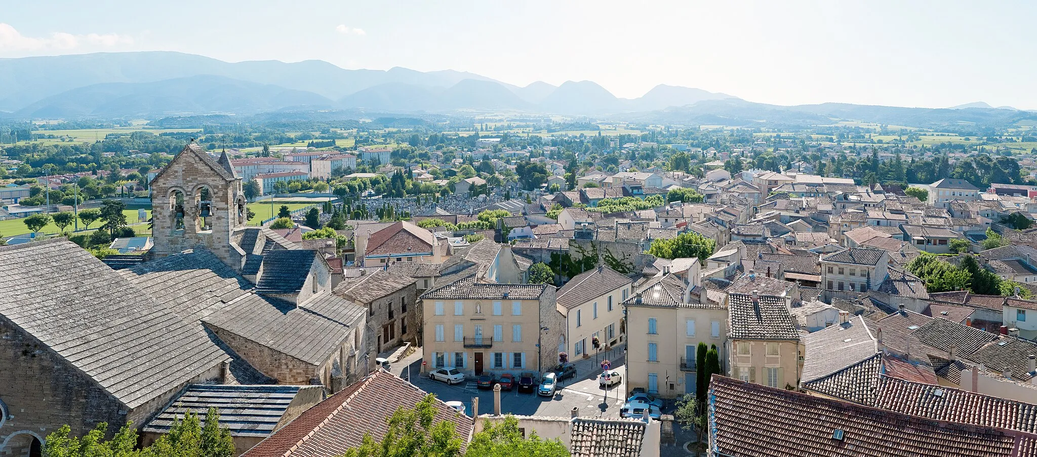
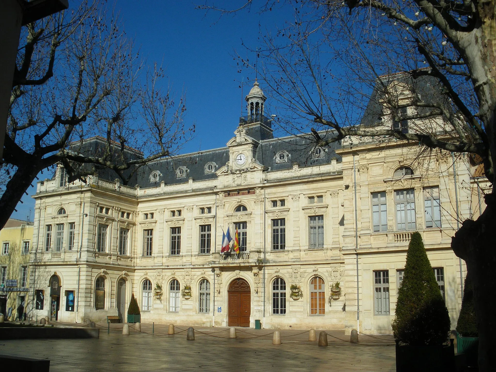
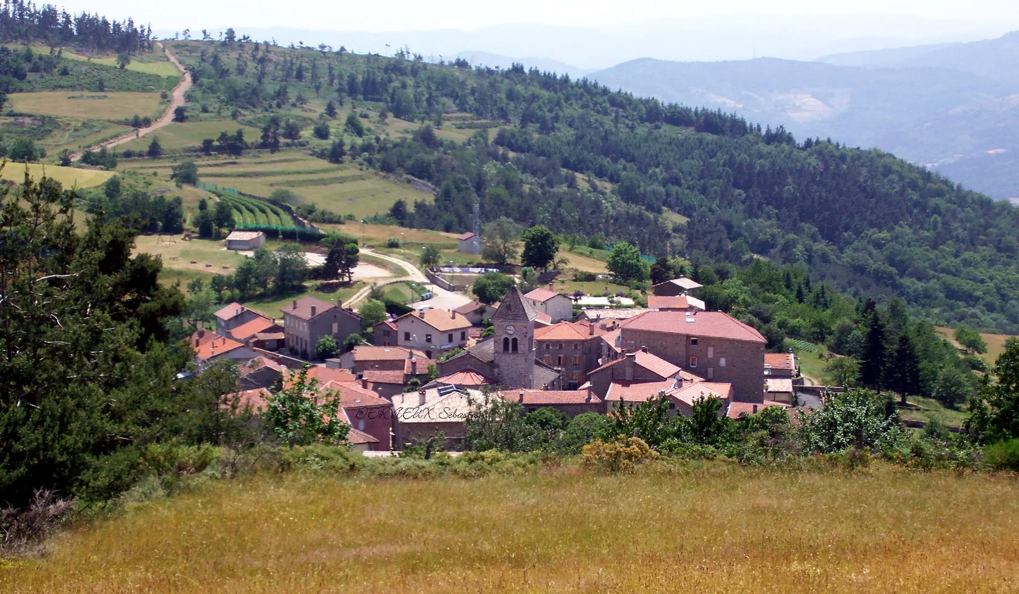
Start: Saint-Agrève Village centerSaint-Agrève: Erobern Sie die Ardèche auf dem Fahrrad in Saint-Agrève.
Saint-Agrève in Rhône-Alpes bietet Radfahrern abwechslungsreiche Routen durch die Ardèche-Berge. Die Gegend ist für ihre steilen Anstiege und anspruchsvollen Abfahrten bekannt. Ideal für erfahrene Radfahrer, die eine Herausforderung suchen.6 km
6 km
Col de Brun1113 mBergpassErleben Sie die Herausforderung des Col de Brun.
20 km
20 km
Col du Buisson920 mBergpassGenießen Sie die Aussicht vom Col du Buisson.
25 km
25 km
NozièresDorfErklimmen Sie den Bergpass Nozières.
35 km
35 km
DésaignesDorfErleben Sie die malerische Landschaft von Désaignes.
49 km
49 km
Ziel: Saint-Agrève Village centerSaint-Agrève: Erobern Sie die Ardèche auf dem Fahrrad in Saint-Agrève.
Radwege von Saint-Agreve:
In der Nähe befinden sich Fahrradrouten:
![Bild von Grillon](https://images.tarmacs.app/cycling-routes/covers/france/provence-alpes-cote-dazur/grillon-5.webp)
![Bild von Lapalud](https://images.tarmacs.app/cycling-routes/covers/france/provence-alpes-cote-dazur/lapalud-5.webp)
![Bild von Valréas](https://images.tarmacs.app/cycling-routes/covers/france/provence-alpes-cote-dazur/valreas-2.webp)
![Bild von Bollène](https://images.tarmacs.app/cycling-routes/covers/france/provence-alpes-cote-dazur/bollene-5.webp)
![Bild von Visan](https://images.tarmacs.app/cycling-routes/covers/france/provence-alpes-cote-dazur/visan-5.webp)
![Bild von Mondragon](https://images.tarmacs.app/cycling-routes/covers/france/provence-alpes-cote-dazur/mondragon-4.webp)
![Bild von Sainte-Cécile-les-Vignes](https://images.tarmacs.app/cycling-routes/covers/france/provence-alpes-cote-dazur/sainte-cecile-les-vignes-3.webp)
![Bild von Mornas](https://images.tarmacs.app/cycling-routes/covers/france/provence-alpes-cote-dazur/mornas-3.webp)
![Bild von Uchaux](https://images.tarmacs.app/cycling-routes/covers/france/provence-alpes-cote-dazur/uchaux-3.webp)