Tour de Chiniac
Eine road-Radroute, die von Saint-Agreve aus startet.
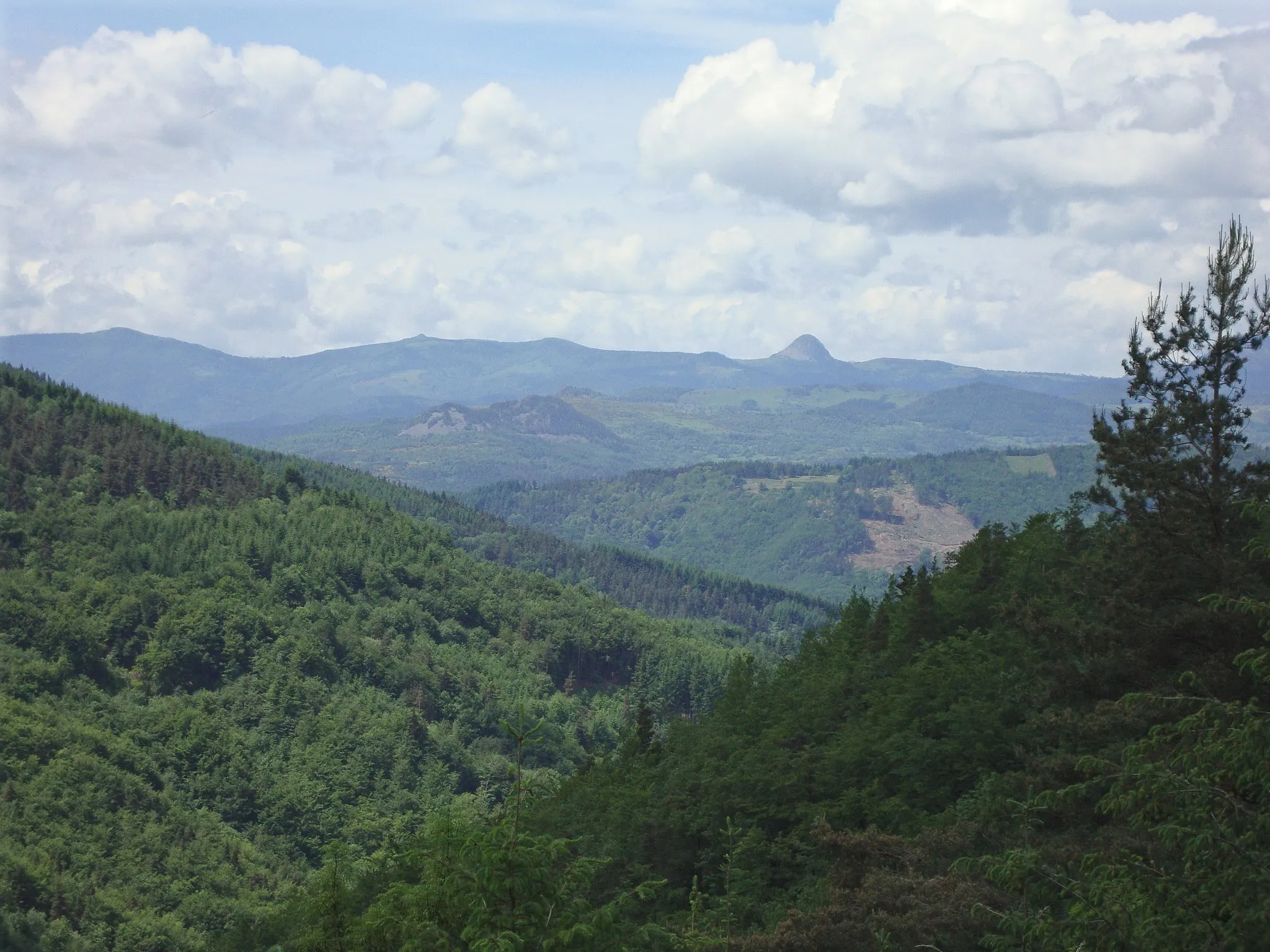
Eine atemberaubende Rundfahrt mit malerischen Landschaften und anspruchsvollen Anstiegen.
Karte

Der Tour de Chiniac bietet auf 105 km eine vielfältige Strecke durch Labatie-d'Andaure, Col de Montreynaud und Beauvène. Mit insgesamt 2359 m Aufstieg erwarten Sie spannende Herausforderungen und beeindruckende Aussichten. Erleben Sie die Schönheit von Châteauneuf-de-Vernoux, Saint-Fortunat-sur-Eyrieux und Le Cheylard auf dieser abwechslungsreichen Tour.
road
105 km
2359 m
Schwierig
Streckenprofil
Höhepunkte auf der Strecke
0 km
0 km
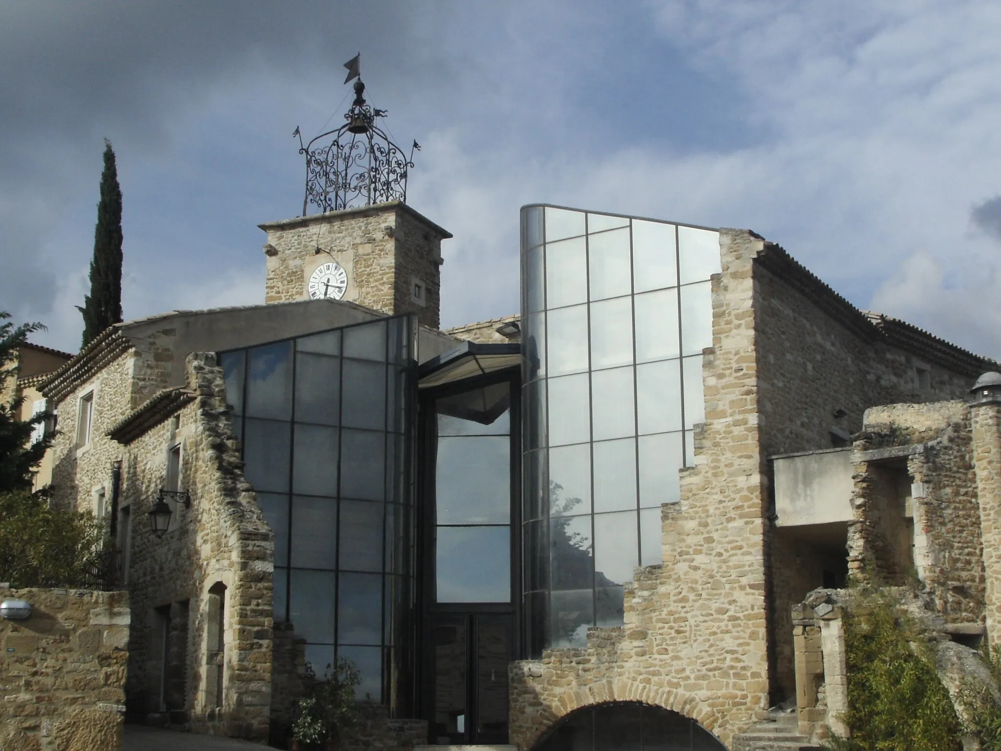
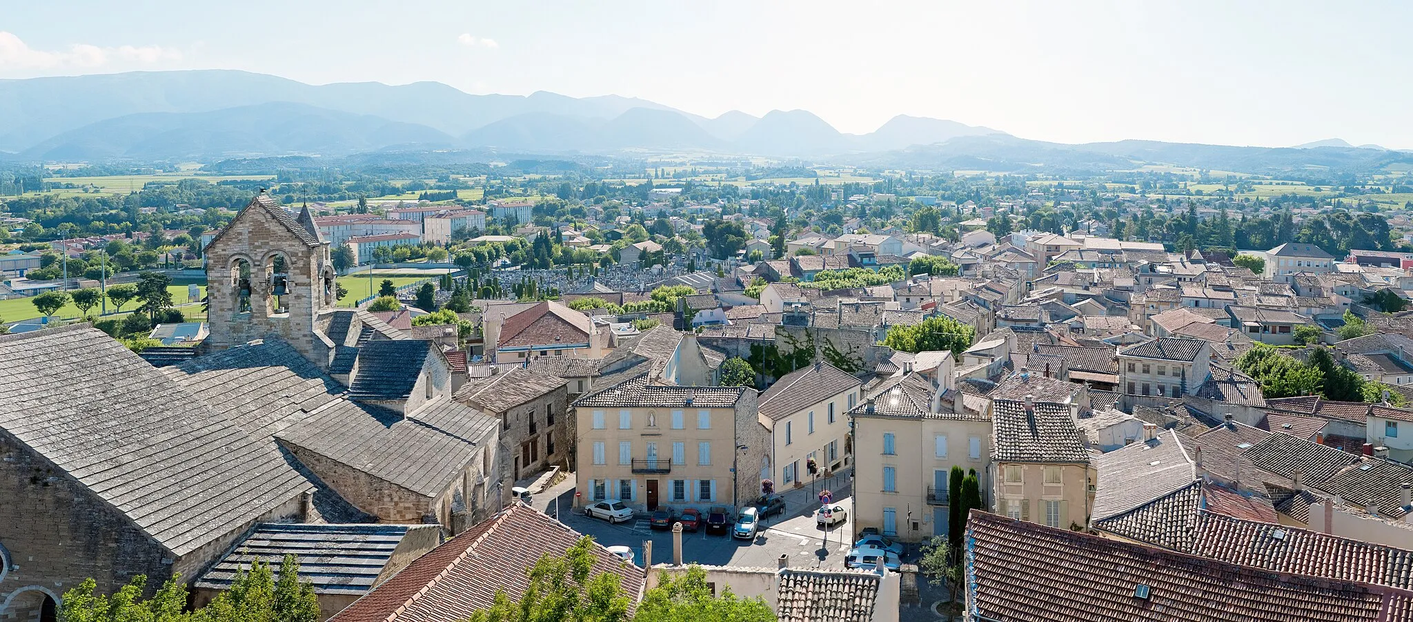
Start: Saint-Agrève Village centerSaint-Agrève: Erobern Sie die Ardèche auf dem Fahrrad in Saint-Agrève.
Saint-Agrève in Rhône-Alpes bietet Radfahrern abwechslungsreiche Routen durch die Ardèche-Berge. Die Gegend ist für ihre steilen Anstiege und anspruchsvollen Abfahrten bekannt. Ideal für erfahrene Radfahrer, die eine Herausforderung suchen.11 km
11 km
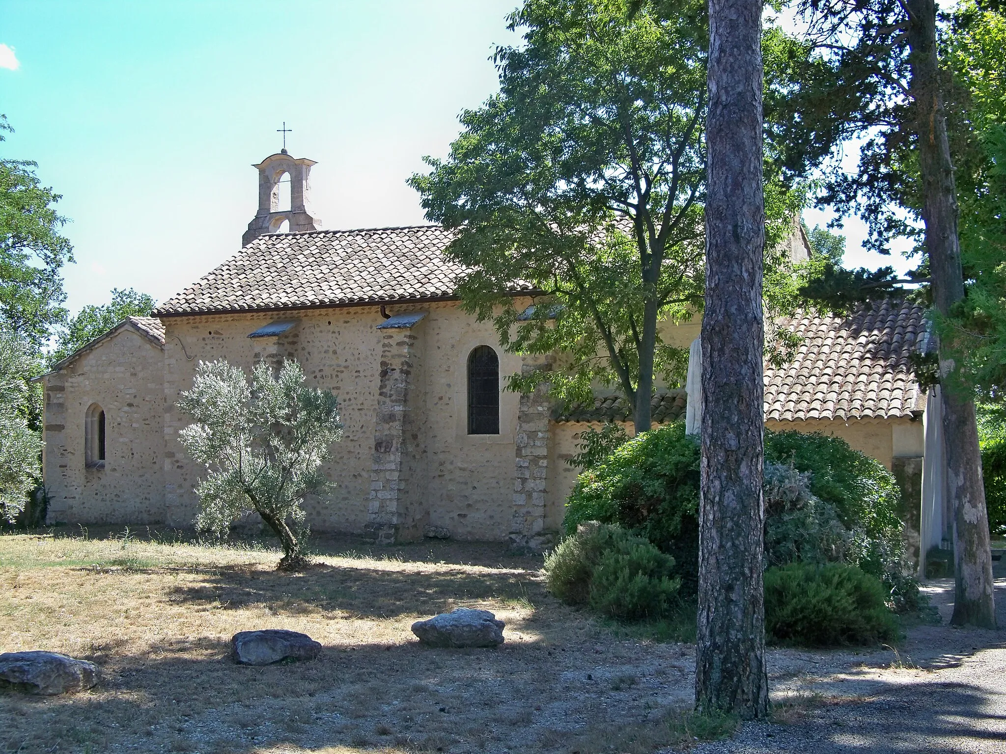
Labatie-d'AndaureDorfGenießen Sie die idyllischen Straßen von Labatie-d'Andaure.
30 km
30 km
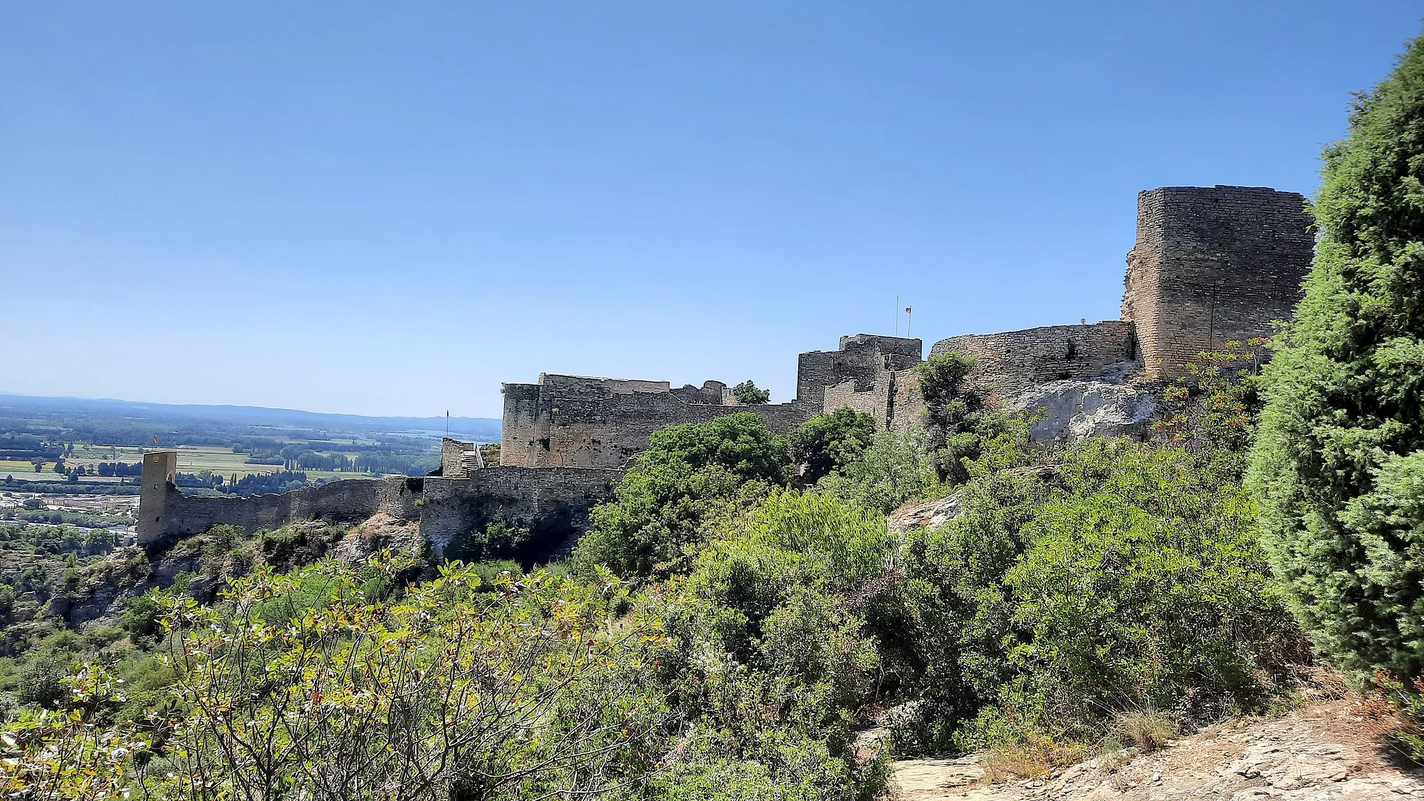
Col de Montreynaud752 mBergpassDer Col de Montreynaud bietet spektakuläre Ausblicke auf die Umgebung.
35 km
35 km
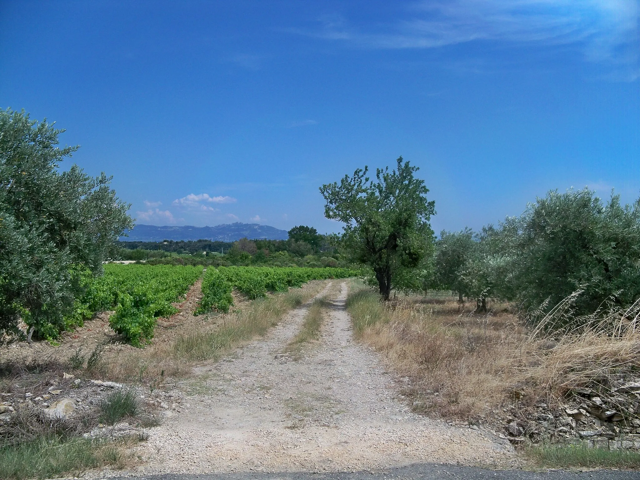
Châteauneuf-de-VernouxDorfEntdecken Sie die malerische Stadt Châteauneuf-de-Vernoux.
53 km
53 km
Saint-Fortunat-sur-EyrieuxDorfErleben Sie die Geschichte von Saint-Fortunat-sur-Eyrieux.
76 km
76 km
BeauvèneDorfBesuchen Sie das charmante Beauvène.
88 km
88 km
Table d'orientationAussichtspunktGenießen Sie die Panoramaaussicht von der Table d'orientation.
88 km
88 km
Le CheylardDorfErkunden Sie das malerische Le Cheylard.
105 km
105 km
Mont Chiniac1128 mGipfelBestaunen Sie die Schönheit des Mont Chiniac.
105 km
105 km
Ziel: Saint-Agrève Village centerSaint-Agrève: Erobern Sie die Ardèche auf dem Fahrrad in Saint-Agrève.
Radwege von Saint-Agreve:
In der Nähe befinden sich Fahrradrouten: