Aigen-Schlägl Gravel Adventure
A gravel cycling route starting from Aigen im Muehlkreis
Experience the beauty of Aigen-Schlägl countryside on a challenging gravel journey
Map
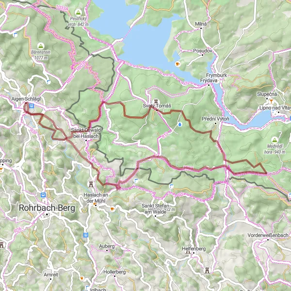
This gravel route starts in Aigen-Schlägl and covers a distance of 55km with an ascent of 1244m. The trail takes you through picturesque landscapes and highlights the natural beauty of the Mühlkreis region in Oberösterreich. It is a challenging ride suitable for experienced gravel cyclists looking for a thrilling adventure. As you cycle through the route, you will encounter several noteworthy landmarks and enjoy breathtaking views of the surrounding area, making it an unforgettable experience. The difficulty level of this route is rated as 4 out of 5, providing a considerable challenge for well-trained amateurs. On the epicness scale, it scores a solid 3, promising an exciting ride with stunning scenery.
gravel
55 km
1244 m
Tough
Route profile
Highlights on the route
0 km
0 km
Start: Aigen-Schlägl Village centerAigen im Mühlkreis: Tranquil cycling by the Danube River in Oberösterreich.
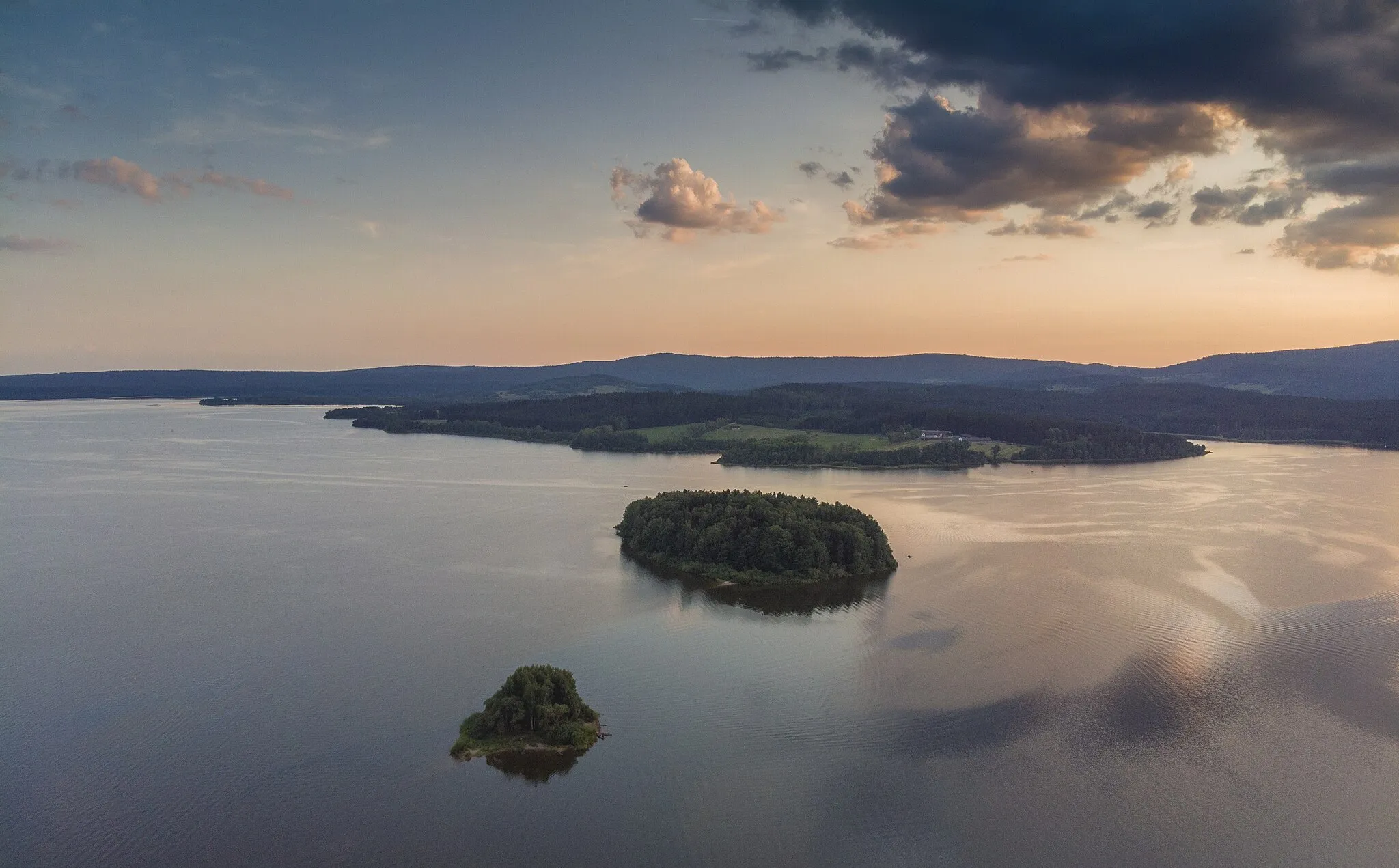
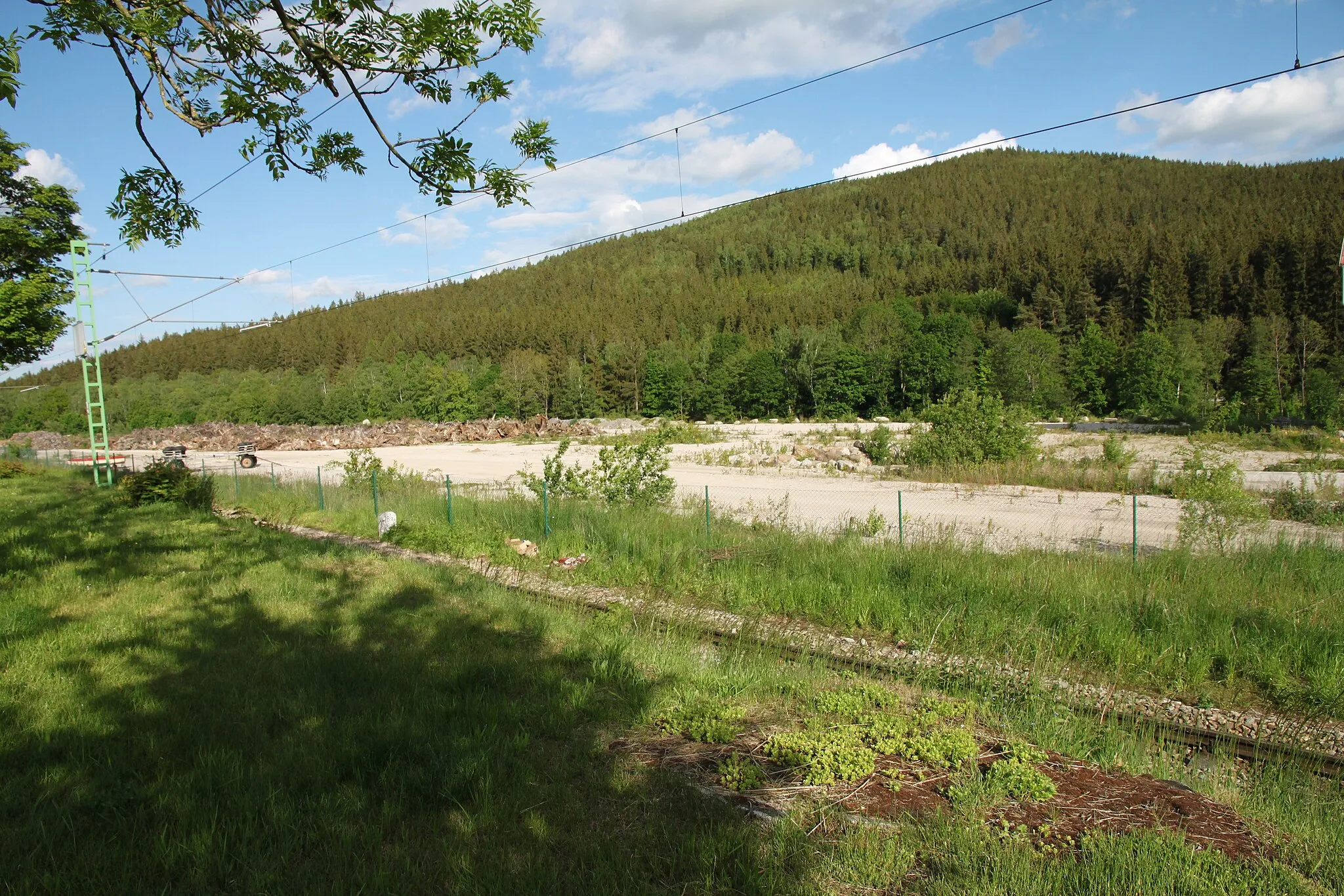
Aigen im Mühlkreis is a locality located in the Oberösterreich region of Austria. It offers a cycling-friendly environment with numerous road and gravel routes that showcase the stunning landscapes of the area. While there are no well-known climbs directly nearby, the region provides a variety of picturesque routes, including those along the scenic Danube River. Cyclists can enjoy the tranquility of the Danube Cycle Path or explore charming towns such as Linz or Grein. Aigen im Mühlkreis is a great destination for cyclists seeking beautiful natural scenery and a range of cycling routes.0 km
0 km
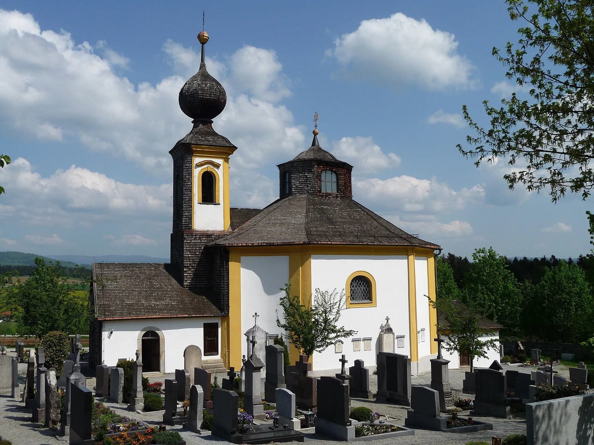
Aigen-SchläglVillageAigen-Schlägl is a charming town known for its historic buildings and cultural heritage. Take a moment to explore the local architecture and immerse yourself in the town's rich history.
13 km
13 km
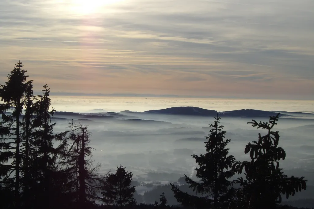
Růžový vrch939 mPeakRůžový vrch offers panoramic views of the surrounding countryside. Take a break at the top and enjoy the breathtaking vista spread before you.
20 km
20 km
Bukový vrch975 mPeakBukový vrch presents a serene spot to pause and appreciate nature's tranquility. Take a deep breath, rejuvenate, and continue your adventure.
29 km
29 km
bývalé KapličkyHamletThe bývalé Kapličky, or former chapel, is a unique cultural monument with a hidden charm. Explore its historical significance and learn about the stories it holds.
36 km
36 km
Křenice797 mPeakKřenice offers a beautiful natural setting, a perfect spot to relax and enjoy a picnic amidst nature's beauty.
45 km
45 km
Ekartsberg (Tanzboden)752 mPeakEkartsberg (Tanzboden) is a hidden gem in the route, with its serene ambiance and enchanting surroundings. Take a few moments to appreciate the tranquility of this place.
45 km
45 km
Lichtenau im MühlkreisHamletLichtenau im Mühlkreis is a picturesque village with stunning landscapes and charming buildings that are worthy of exploration.
52 km
52 km
UnterneudorfHamletUnterneudorf entices with its idyllic countryside and tranquility. Slow down and soak in the peaceful atmosphere of this small hamlet.
55 km
55 km
Finish: Aigen-Schlägl Village centerAigen im Mühlkreis: Tranquil cycling by the Danube River in Oberösterreich.
Cycling routes from Aigen im Muehlkreis:
Böhmerwald Adventure Aigen-Schlägl Scenic Ride (Road) Aigen-Schlägl to Rudolfing Loop Aigen-Schlägl Gravel Adventure Aigen-Schlägl Loop (Road) Dietrichschlag to Rudolfing Gravel Adventure Aigen-Schlägl Gravel Adventure II Aigen-Schlägl Gravel Adventure Lichtenau Loop Gravel Adventure to Lipno (Czech Republic)
Cycling routes nearby: