Gravel Adventure to Lipno (Czech Republic)
A gravel cycling route starting from Aigen im Muehlkreis
Embark on an unforgettable gravel adventure from Aigen im Mühlkreis to Lipno in the Czech Republic, experiencing stunning vistas and natural wonders along the way
Map
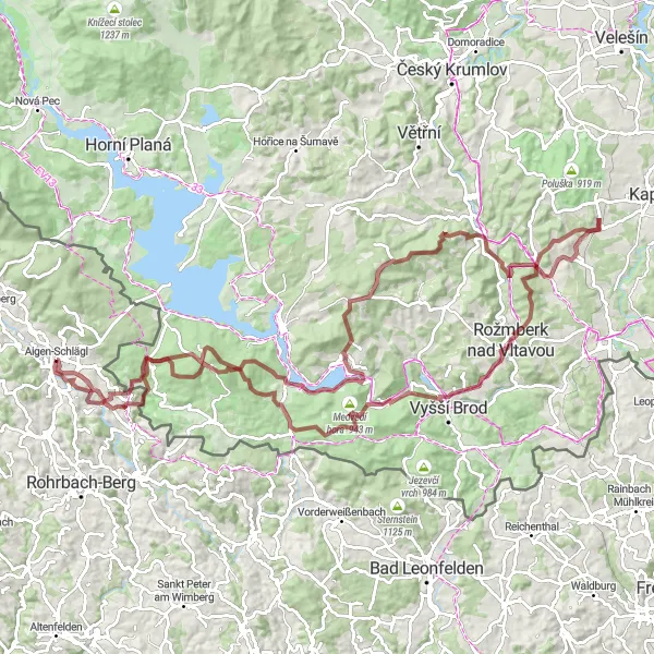
For gravel cyclists seeking an unforgettable adventure, this route from Aigen im Mühlkreis to Lipno in the Czech Republic offers breathtaking vistas and stunning natural wonders. With a total distance of 118 km and an ascent of 2,714 m, it poses a significant challenge for experienced riders. Highlights along the route include Medvědí vrch, Svatý Tomáš, Medvědí hora, Hrudkov, Třešňovický kopec, Čeřín, Stezka korunami stromů Lipno, Slupečná, Vítkův kámen, and Sankt Oswald bei Haslach. These locations offer a mix of challenging climbs, scenic trails, and breathtaking views that make this gravel adventure truly epic.
gravel
118 km
2714 m
Savage
Route profile
Highlights on the route
0 km
0 km
Start: Aigen-Schlägl Village centerAigen im Mühlkreis: Tranquil cycling by the Danube River in Oberösterreich.
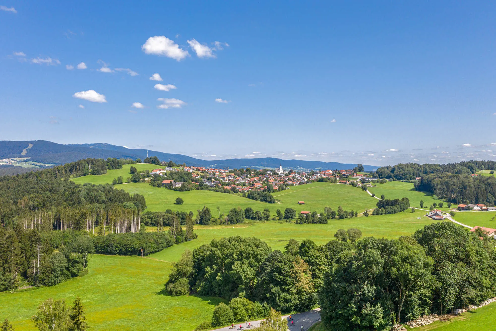
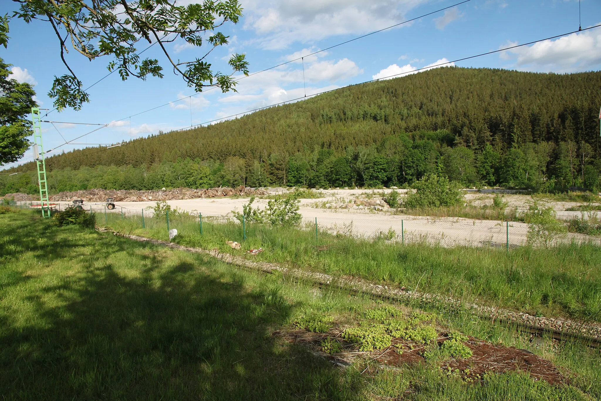
Aigen im Mühlkreis is a locality located in the Oberösterreich region of Austria. It offers a cycling-friendly environment with numerous road and gravel routes that showcase the stunning landscapes of the area. While there are no well-known climbs directly nearby, the region provides a variety of picturesque routes, including those along the scenic Danube River. Cyclists can enjoy the tranquility of the Danube Cycle Path or explore charming towns such as Linz or Grein. Aigen im Mühlkreis is a great destination for cyclists seeking beautiful natural scenery and a range of cycling routes.15 km
15 km
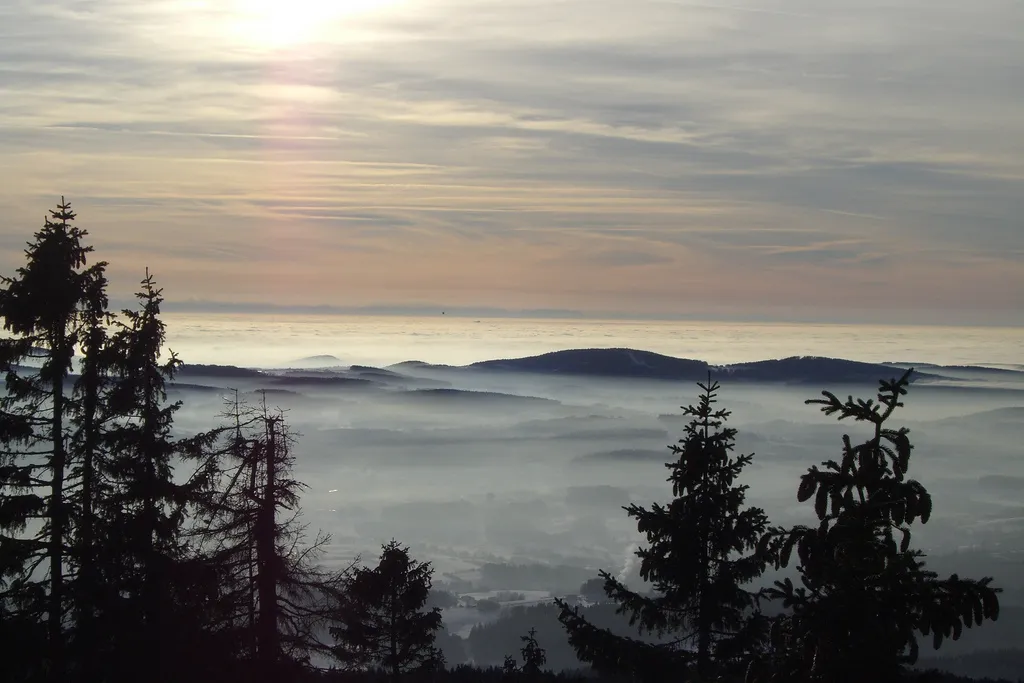
Medvědí vrch1017 mPeakMedvědí vrch offers stunning panoramic views of the Czech countryside and surrounding mountains.
16 km
16 km
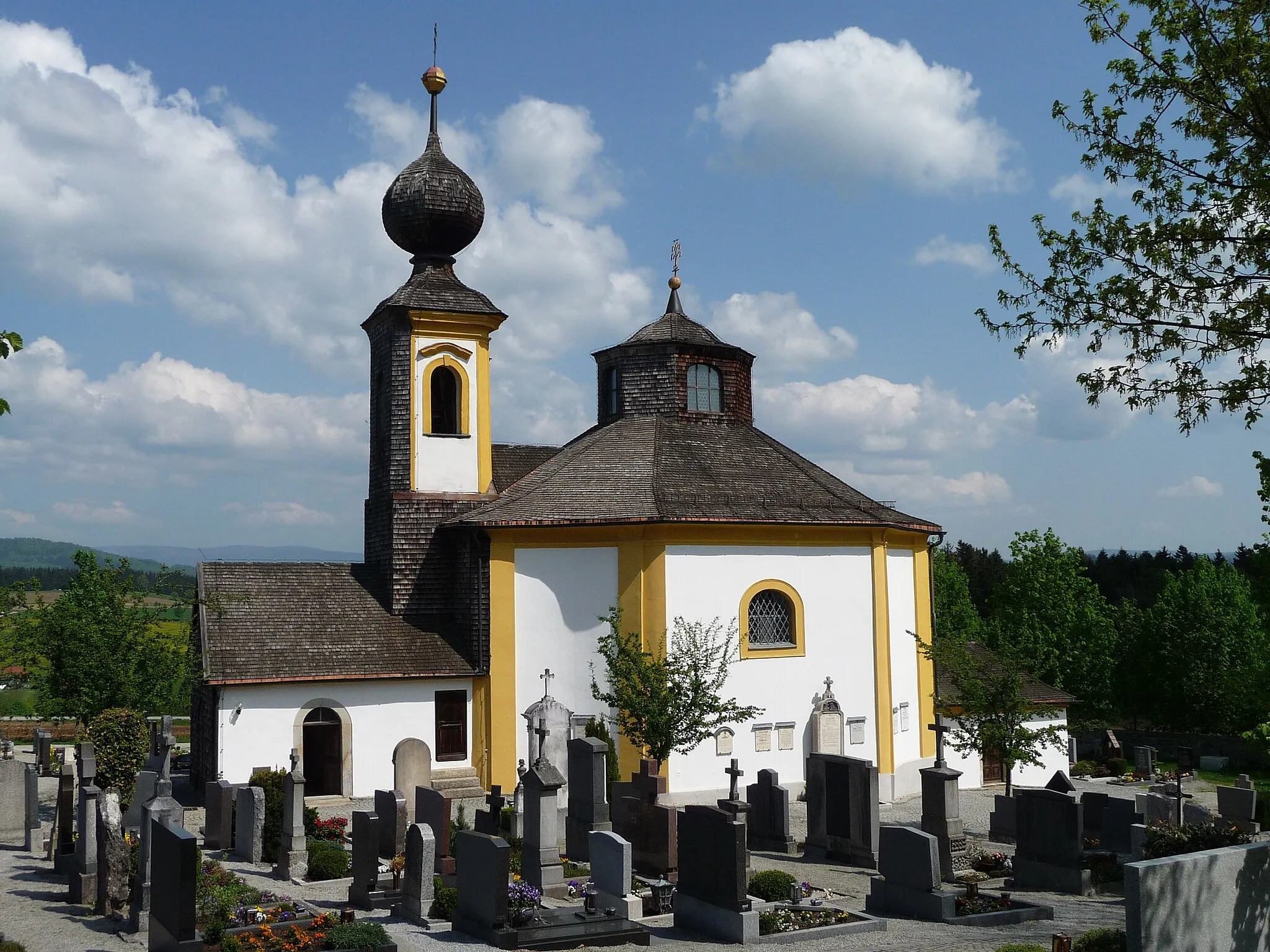
Svatý TomášVillageSvatý Tomáš is a historic village with medieval architecture and beautiful hiking trails.
31 km
31 km
Medvědí hora943 mPeakMedvědí hora is a challenging climb that rewards cyclists with breathtaking views of the Bohemian Forest.
41 km
41 km
HrudkovVillageHrudkov is a picturesque village known for its charming wooden houses and rich cultural heritage.
50 km
50 km
Třešňovický kopec796 mPeakTřešňovický kopec is a challenging climb that offers stunning panoramic views of the Lipno region.
69 km
69 km
ČeřínHamletČeřín is a peaceful village with beautiful architecture and a tranquil atmosphere.
86 km
86 km
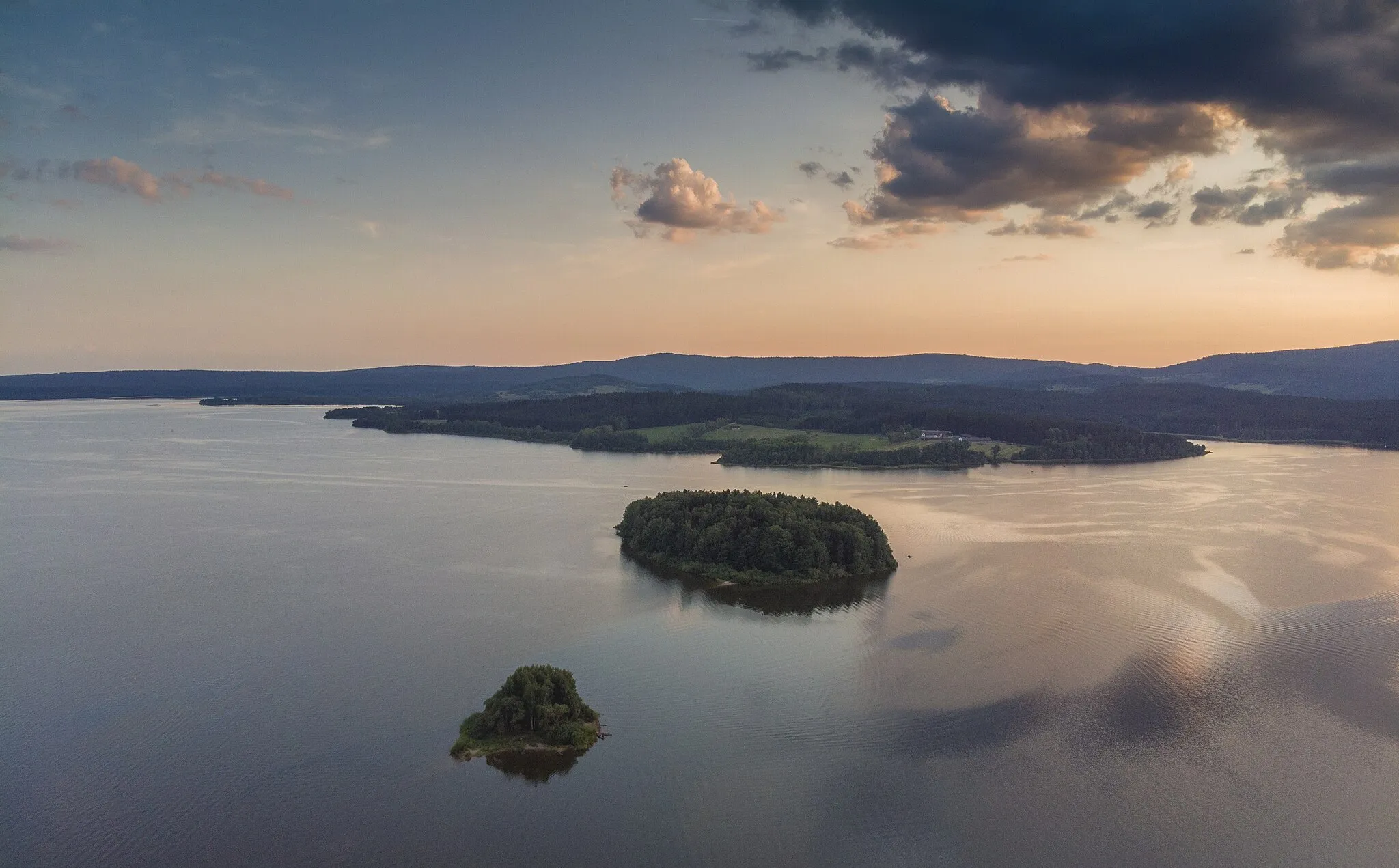
Stezka korunami stromů LipnoViewpointStezka korunami stromů Lipno is a popular treetop walkway that offers panoramic views of the Lipno Lake and surrounding forest.
87 km
87 km
SlupečnáVillageSlupečná is a charming village known for its historic buildings and beautiful natural surroundings.
102 km
102 km
Vítkův kámen1035 mCastleVítkův kámen is a famous cycling spot that attracts riders from all over the country with its challenging terrain and stunning views.
111 km
111 km
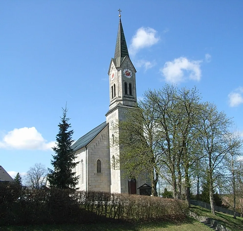
Sankt Oswald bei HaslachVillageSankt Oswald bei Haslach offers scenic trails and panoramic views of the Mühlviertel region.
118 km
118 km
Finish: Aigen-Schlägl Village centerAigen im Mühlkreis: Tranquil cycling by the Danube River in Oberösterreich.
Cycling routes from Aigen im Muehlkreis:
Böhmerwald Adventure Aigen-Schlägl Scenic Ride (Road) Aigen-Schlägl to Rudolfing Loop Aigen-Schlägl Gravel Adventure Aigen-Schlägl Loop (Road) Dietrichschlag to Rudolfing Gravel Adventure Aigen-Schlägl Gravel Adventure II Aigen-Schlägl Gravel Adventure Lichtenau Loop Gravel Adventure to Lipno (Czech Republic)
Cycling routes nearby: