Tranquil rides and famous Hochficht-Goldberg-Tour in Neureichenau
Cycling routes from Neureichenau
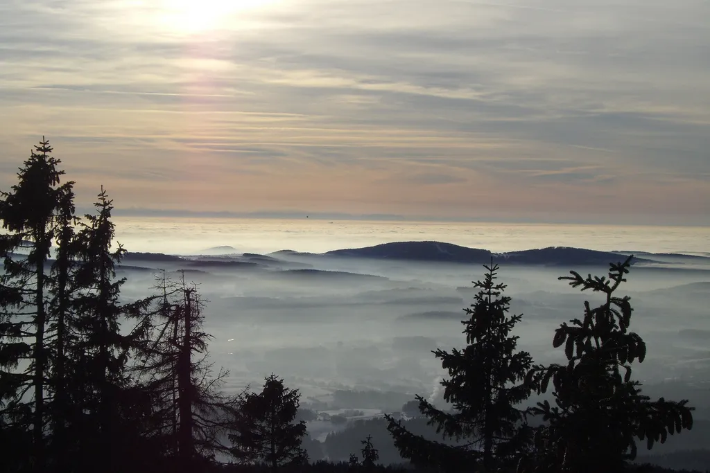
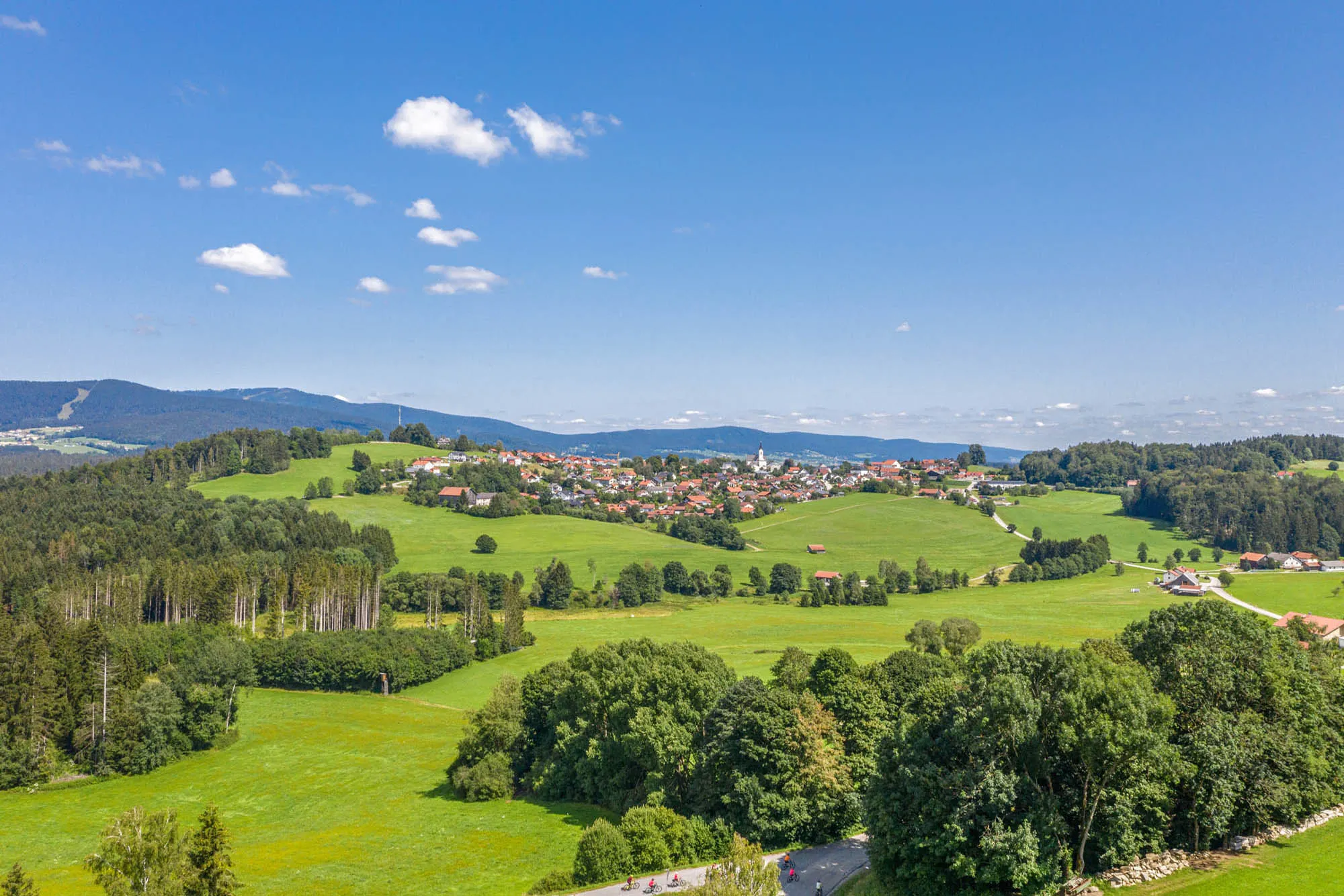
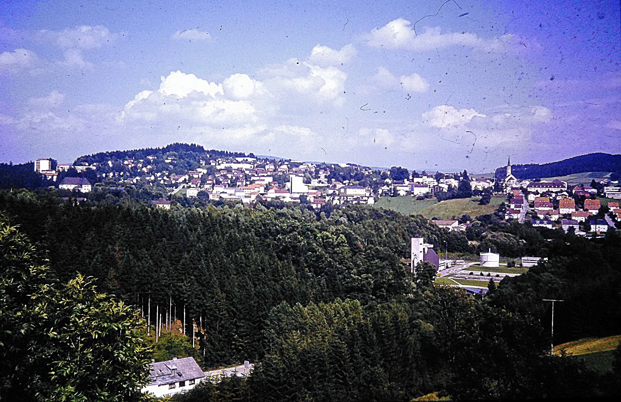
Neureichenau, located in Niederbayern, Germany, offers a cycling experience rich in natural beauty and tranquility. The region provides cyclists with peaceful rides through serene forests and idyllic landscapes. Nearby, the famous Hochficht-Goldberg-Tour appeals to cyclists with its scenic trail and well-maintained paths. With its peaceful surroundings and renowned trail, Neureichenau is a great destination for cyclists.

A thrilling gravel adventure through the untamed wilderness of Niederbayern
The Wilderness Adventure Circuit is a thrilling gravel cycling route that takes you on a journey through the untamed wilderness of Niederbayern. With an ascent of 2432 meters and a total distance of 114 kilometers, this route offers an adrenaline-filled experience for gravel enthusiasts seeking an escape into the heart of nature. Along the way, you'll encounter captivating highlights such as Braunberg, Wollaberg, Röhrnbach, and Bubikberg, each offering their unique attractions and scenic viewpoints. Rated with a difficulty level of 5, this route is suitable for experienced cyclists who crave an extreme and challenging adventure in the wild.
Gravel Adventure Neureichenau
Explore the gravel roads around Neureichenau
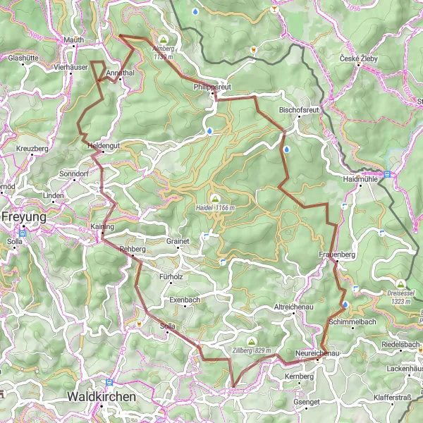
This gravel route takes you on an exciting adventure through the beautiful countryside near Neureichenau. With a total distance of 63 km and 1296 meters of ascent, this route is challenging yet rewarding. Experience highlights such as Neufanger Berg, Hinterschmiding, and the famous Klausgupf.
Embark on a road cycling adventure near Neureichenau
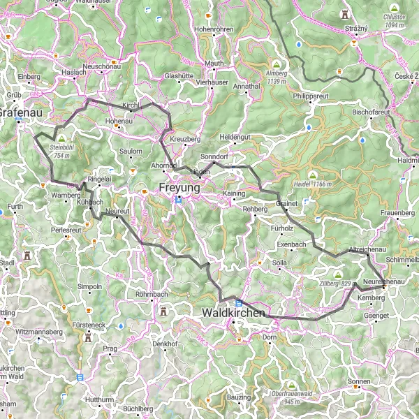
This road cycling route near Neureichenau covers a distance of 78 km with 1707 meters of ascent. Explore highlights such as Waldkirchen, Großwiesen, and the beautiful Altreichenau. The route offers a mix of rolling hills and challenging climbs, making it suitable for experienced cyclists.
Embark on an epic gravel adventure through the Bavarian Forest
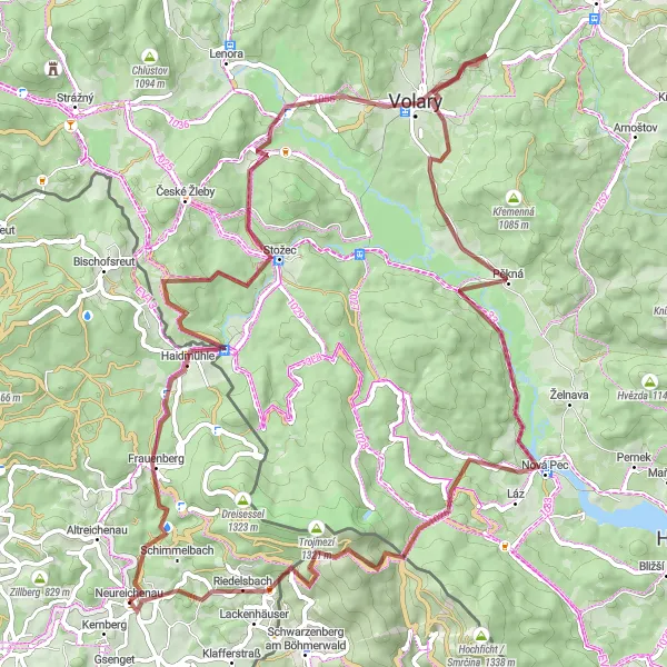
Get ready for a thrilling and challenging ride through the stunning Bavarian Forest. This round-trip cycling route starting near Neureichenau offers gravel enthusiasts the chance to explore the rugged beauty of this region. With a total ascent of 1,446 meters and covering a distance of 81 kilometers, this route promises an exciting adventure for experienced riders. Experience the unique charm of Braunberg, Haidmühle, Kapraď, Volary, Nová Pec, Teufelsschüssel, and Fischergrün as you pedal through picturesque landscapes and discover hidden gems along the way.
Gravel Adventure to Nová Pec

Experience the thrill of off-road cycling through Niederbayern's rugged landscapes
The Gravel Adventure to Nová Pec route is a thrilling off-road cycling experience that takes you through the scenic wilderness of Niederbayern. With an ascent of 1862 meters and a distance of 90 kilometers, this route is perfect for gravel enthusiasts seeking an adrenaline-pumping adventure. Along the way, you'll encounter impressive highlights such as Braunberg, Haidmühle, Kapraď, and Volary, each offering unique natural attractions and cultural points of interest. Rated with a difficulty level of 4 and an epicness level of 3, this route promises an unforgettable cycling journey through the untamed beauty of Niederbayern.
Mühlberg Loop
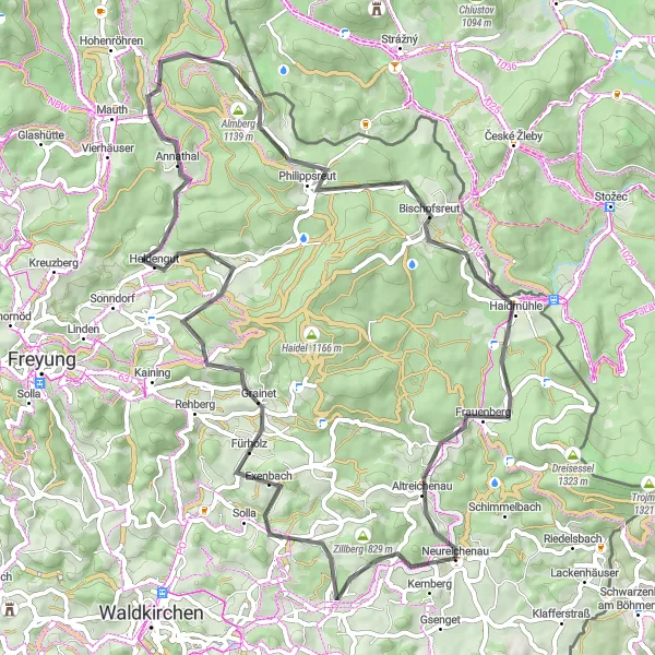
A scenic road cycling loop through picturesque landscapes and charming villages
The Mühlberg Loop is a picturesque road cycling route that showcases the scenic beauty of Niederbayern's countryside. With an ascent of 1411 meters and a distance of 68 kilometers, this route offers a delightful adventure for road cyclists of all levels. Along the way, you'll encounter charming highlights such as Neufanger Berg, Fürholz, Mühlberg, and Almberg, each adding to the overall attractiveness of the journey. Rated with a difficulty level of 3, this route is suitable for both experienced road cyclists and beginners looking to explore the region's natural wonders.
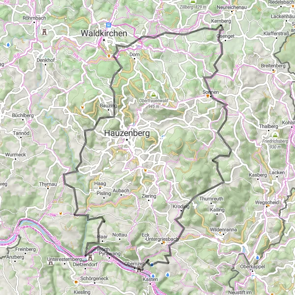
Discover the scenic beauty of Niederbayern on this road cycling route
Take in the breathtaking views and beautiful landscapes as you cycle through Niederbayern. This 77 km route with an ascent of 1803 meters offers a combination of scenic vistas, historic sites, and charming villages. Highlights include Sonnen, Obernzell, and the famous Karoli viewpoint.

Embark on a spectacular cycling journey through Niederbayern
This 84 km road cycling route takes you on a journey through some of the most picturesque landscapes in Niederbayern. With a challenging ascent of 1807 meters, this route is suitable for experienced cyclists. Highlights include Waldkirchen, Bubikberg, and the famous Braunberg viewpoint.
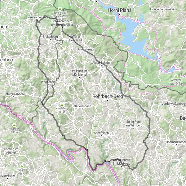
Challenge yourself on this epic road cycling route in Niederbayern
With a distance of 133 km and a challenging ascent of 2632 meters, this route is not for the faint-hearted. Experience the ultimate cycling challenge as you tackle legendary climbs and discover hidden gems along the way. Highlights include Klaffer am Hochficht, Herzogsdorf, and the breathtaking Donaublick.
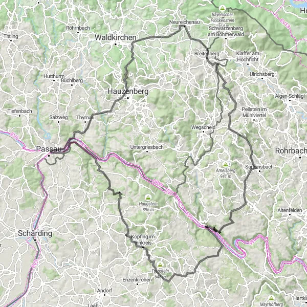
A thrilling ride through Niederbayern's picturesque countryside
The Donaublick Circuit is an exhilarating cycling route that takes you through some of the most breathtaking landscapes in Niederbayern, Germany. With a challenging ascent of 2724 meters and a total distance of 143 kilometers, it is the perfect route for experienced road cyclists. Along the way, you'll encounter stunning highlights such as Schönauberg, Hochstein, Sarleinsbach, and Weinberg, each offering unique attractions and scenic viewpoints. This route is rated with a difficulty level of 4 out of 5, making it suitable for well-trained amateurs seeking a thrilling cycling adventure in the region.
Cycling routes nearby:


Nearby regions: