Wilderness Adventure Circuit
A gravel cycling route starting from Neureichenau
A thrilling gravel adventure through the untamed wilderness of Niederbayern
Map

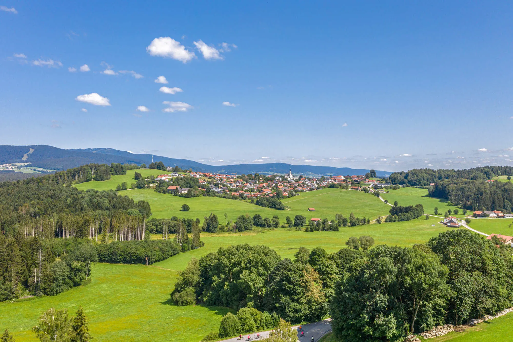
The Wilderness Adventure Circuit is a thrilling gravel cycling route that takes you on a journey through the untamed wilderness of Niederbayern. With an ascent of 2432 meters and a total distance of 114 kilometers, this route offers an adrenaline-filled experience for gravel enthusiasts seeking an escape into the heart of nature. Along the way, you'll encounter captivating highlights such as Braunberg, Wollaberg, Röhrnbach, and Bubikberg, each offering their unique attractions and scenic viewpoints. Rated with a difficulty level of 5, this route is suitable for experienced cyclists who crave an extreme and challenging adventure in the wild.
gravel
114 km
2432 m
Savage
Route profile
Highlights on the route
0 km
0 km
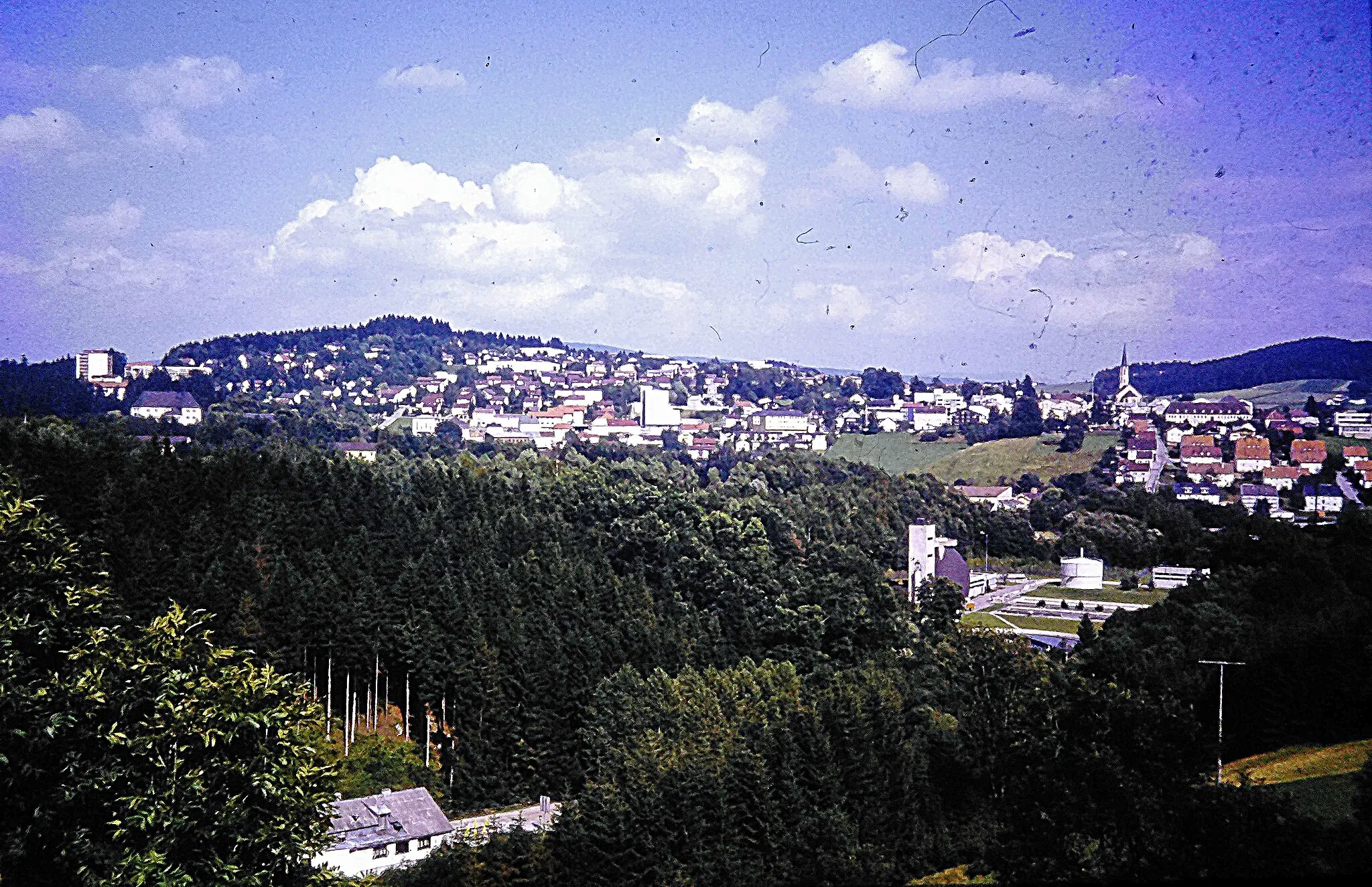
Start: Schimmelbach Village centerNeureichenau: Tranquil rides and famous Hochficht-Goldberg-Tour in Neureichenau
Neureichenau, located in Niederbayern, Germany, offers a cycling experience rich in natural beauty and tranquility. The region provides cyclists with peaceful rides through serene forests and idyllic landscapes. Nearby, the famous Hochficht-Goldberg-Tour appeals to cyclists with its scenic trail and well-maintained paths. With its peaceful surroundings and renowned trail, Neureichenau is a great destination for cyclists.3 km
3 km
Braunberg706 mPeakBraunberg, situated at the beginning of the route, is a stunning hill that offers breathtaking panoramic views of the surrounding wilderness. Immerse yourself in the untamed beauty of Niederbayern from this vantage point.
11 km
11 km
WollabergVillageWollaberg, located 11 kilometers into the route, is a remote village surrounded by dense forests and pristine nature. Embrace the sense of solitude and tranquility as you cycle through its mesmerizing landscapes.
27 km
27 km
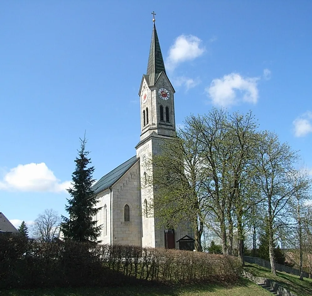
RöhrnbachVillageRöhrnbach, 27 kilometers from the start, is a charming village known for its picturesque setting and traditional architecture. Take a moment to appreciate the idyllic ambiance of this hidden gem.
36 km
36 km
Bubikberg572 mPeakBubikberg, situated 36 kilometers on the route, is a scenic hill with breathtaking views over the surrounding countryside. Challenge yourself as you pedal uphill and reward yourself with the stunning vistas awaiting you at the top.
45 km
45 km
Bauernberg534 mPeakBauernberg, located 45 kilometers into the route, is a rugged mountain with steep trails and adrenaline-inducing descents. Embark on an exhilarating off-road experience as you conquer its challenging terrain.
58 km
58 km
OberkreuzbergVillageOberkreuzberg, at a distance of 58 kilometers, is a secluded mountain with mesmerizing landscapes and tranquil trails. Bring your camera along to capture the stunning natural beauty of this hidden gem.
74 km
74 km
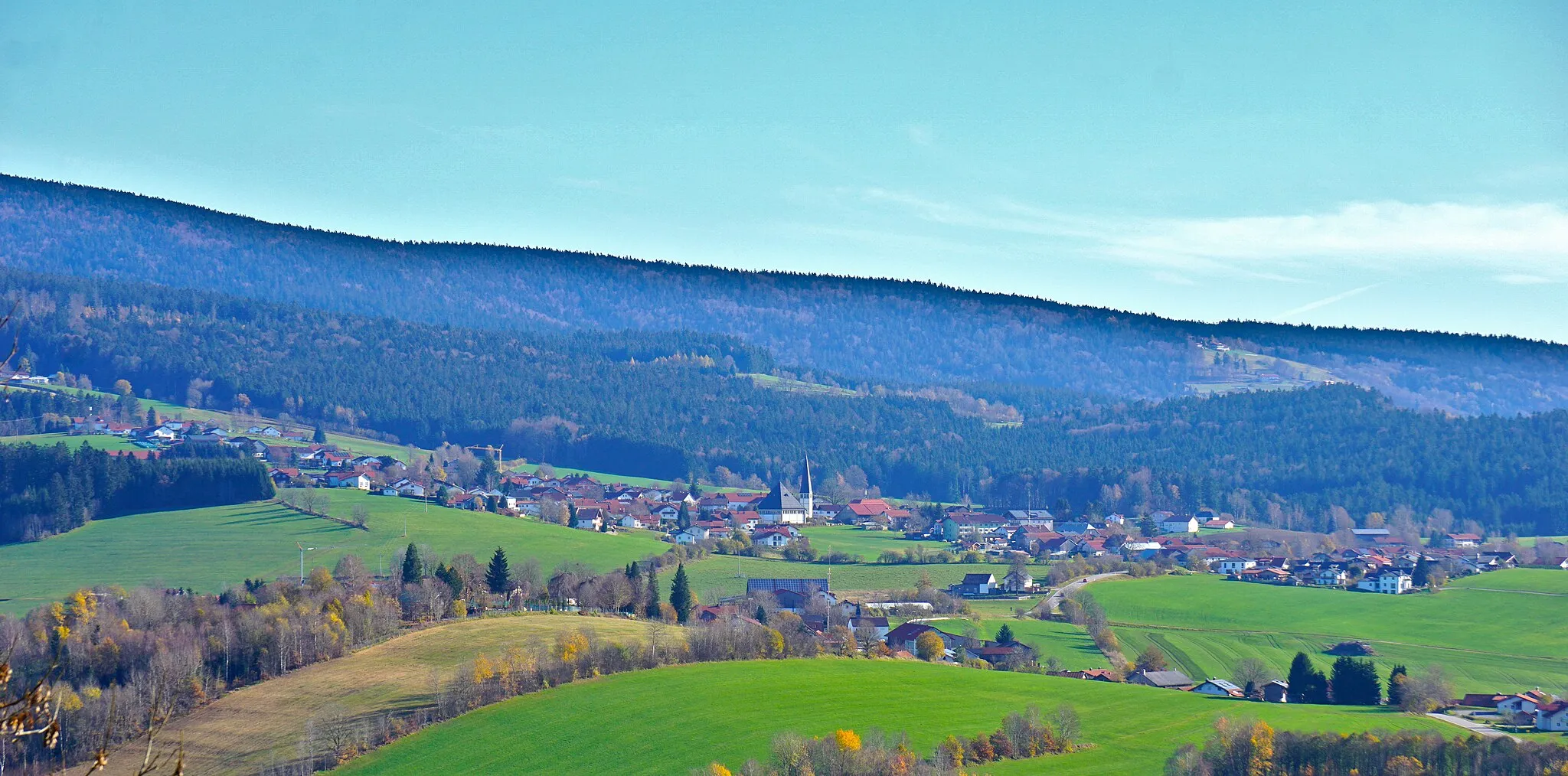
NeuschönauVillageNeuschönau, situated 74 kilometers from the start, is a scenic village located near the Bavarian Forest National Park. Pause here to discover the rich biodiversity of the region and explore its numerous hiking trails.
74 km
74 km
BaumwipfelpfadViewpointBaumwipfelpfad, located 74 kilometers on the route, is an impressive treetop walk that offers stunning views of the surrounding forest. Step onto the elevated walkways and immerse yourself in the mesmerizing world of the Bavarian wilderness.
84 km
84 km
MauthVillageMauth, 84 kilometers into the route, is a charming town nestled in the heart of nature. Take a moment to rest and savor the peaceful ambiance of this idyllic destination before continuing your gravel adventure.
92 km
92 km
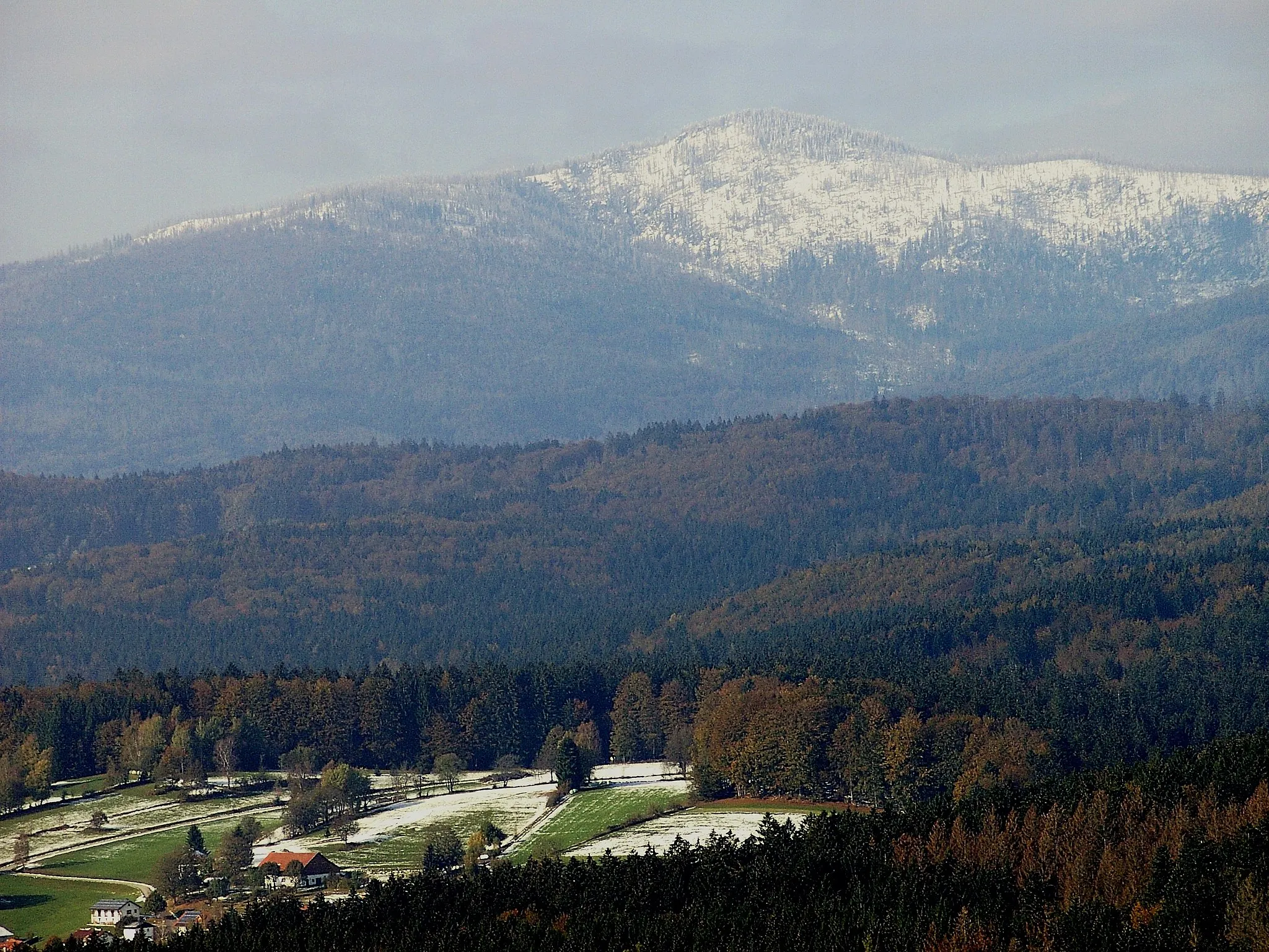
Schwarzkopf1060 mPeakSchwarzkopf, situated 92 kilometers on the route, is a majestic mountain with rugged trails and breathtaking panoramas. Push your limits as you conquer its challenging terrain and experience the thrill of off-road cycling in the wilderness.
101 km
101 km
Haidel1166 mPeakHaidel, at a distance of 101 kilometers, is a stunning mountain with panoramic views over the countryside. Challenge yourself as you pedal uphill and enjoy the well-deserved reward of the magnificent vistas awaiting you at the summit.
114 km
114 km
Finish: Schimmelbach Village centerNeureichenau: Tranquil rides and famous Hochficht-Goldberg-Tour in Neureichenau
Cycling routes from Neureichenau:
Cycling routes nearby: