Gravel Adventure Neureichenau
A gravel cycling route starting from Neureichenau
Explore the gravel roads around Neureichenau
Map
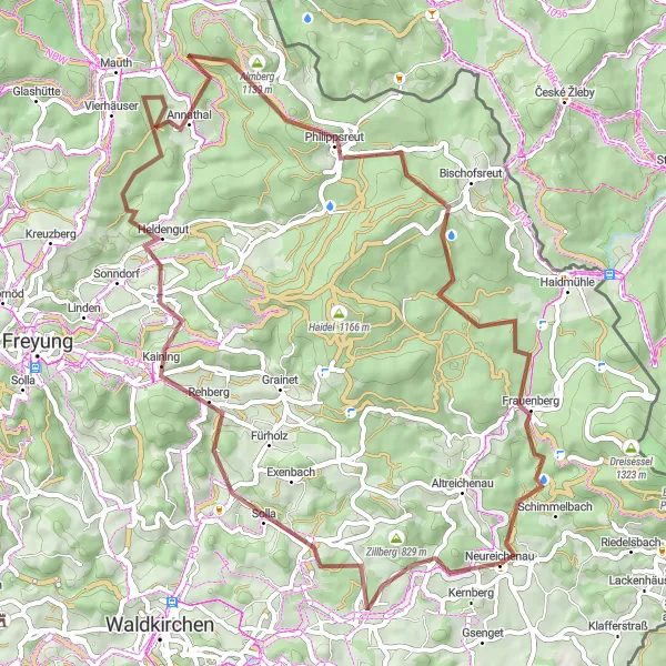
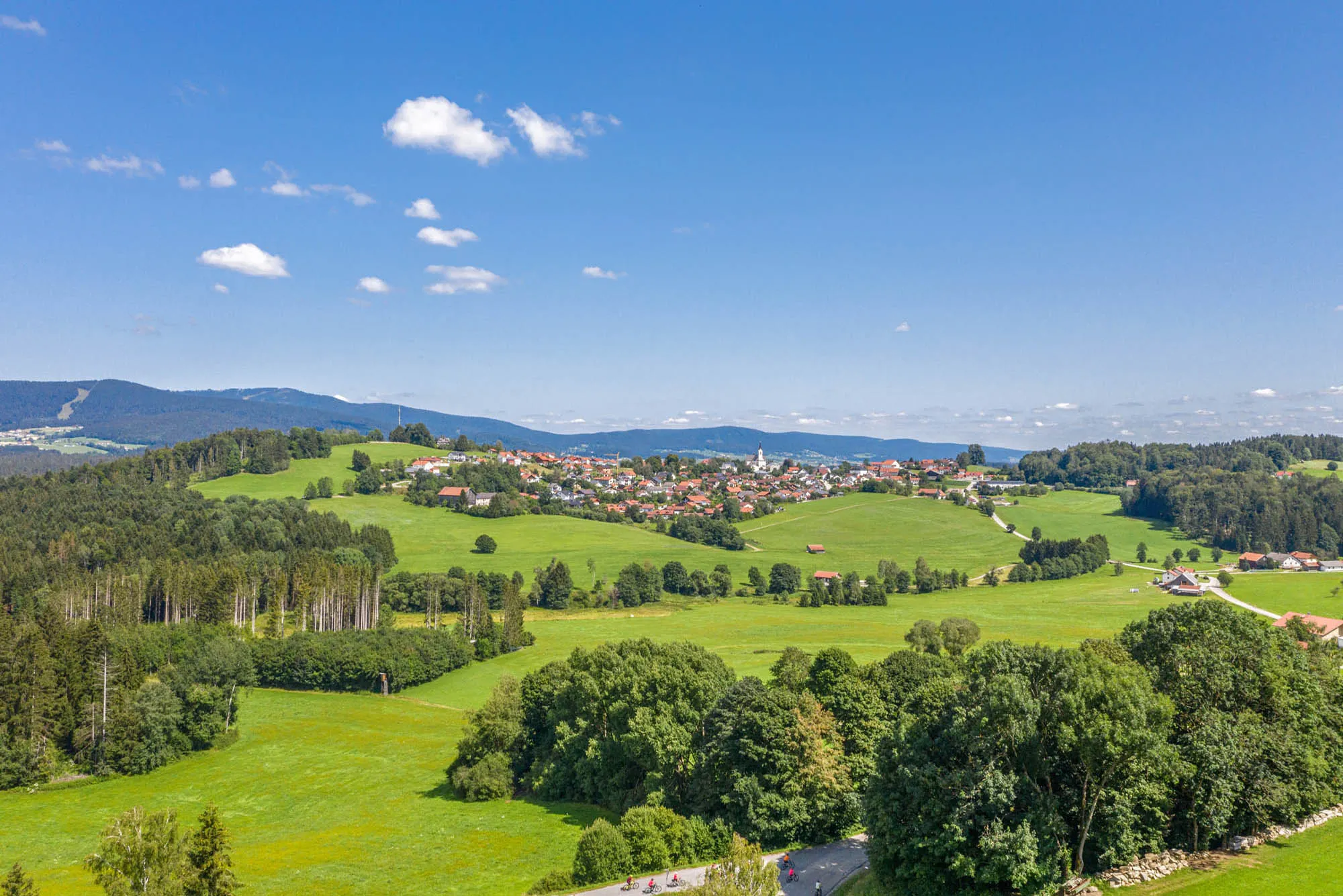
This gravel route takes you on an exciting adventure through the beautiful countryside near Neureichenau. With a total distance of 63 km and 1296 meters of ascent, this route is challenging yet rewarding. Experience highlights such as Neufanger Berg, Hinterschmiding, and the famous Klausgupf.
gravel
63 km
1296 m
Tough
Route profile
Highlights on the route
0 km
0 km
Start: Neureichenau Village centerNeureichenau: Tranquil rides and famous Hochficht-Goldberg-Tour in Neureichenau
Neureichenau, located in Niederbayern, Germany, offers a cycling experience rich in natural beauty and tranquility. The region provides cyclists with peaceful rides through serene forests and idyllic landscapes. Nearby, the famous Hochficht-Goldberg-Tour appeals to cyclists with its scenic trail and well-maintained paths. With its peaceful surroundings and renowned trail, Neureichenau is a great destination for cyclists.0 km
0 km
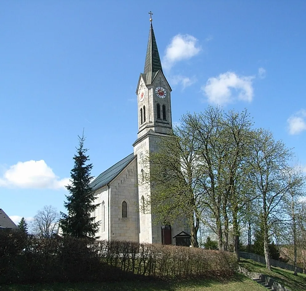
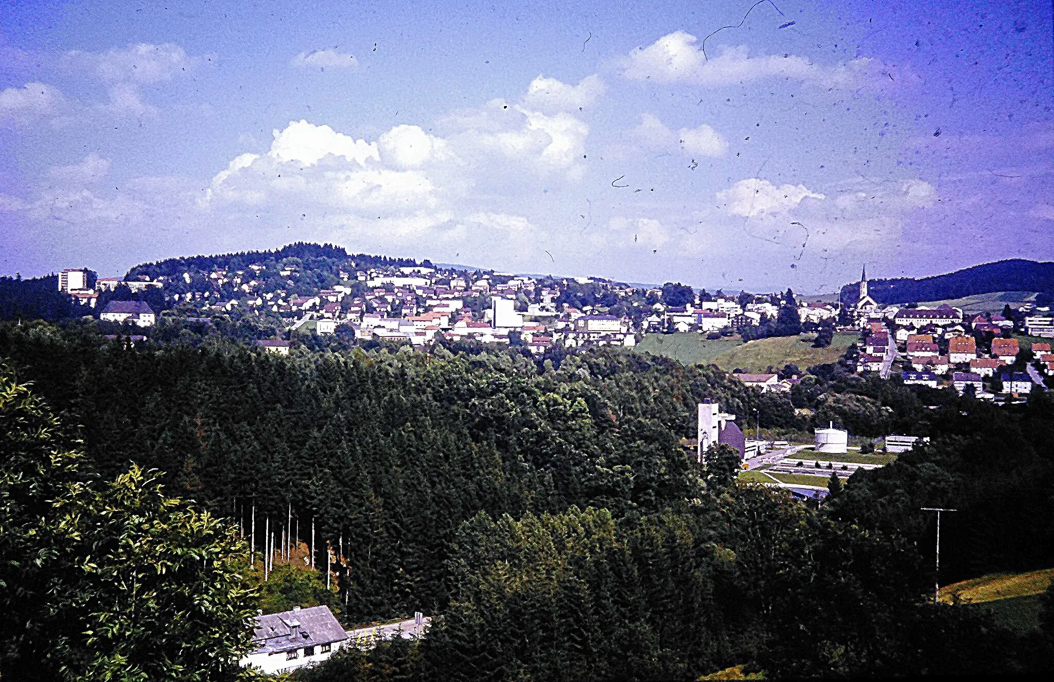
NeureichenauVillageNeureichenau is a quaint Bavarian town with charming architecture and a rich history dating back to the Middle Ages.
2 km
2 km
Stubenberg812 mPeakStubenberg offers panoramic views of the surrounding mountains and forests.
10 km
10 km
Neufanger Berg755 mPeakNeufanger Berg is a popular destination for outdoor enthusiasts with its network of hiking and biking trails.
20 km
20 km
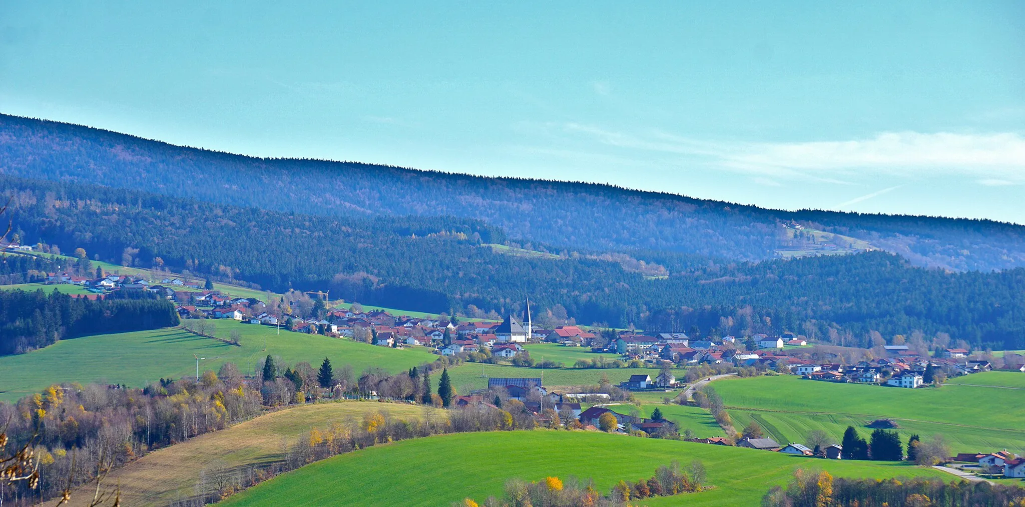
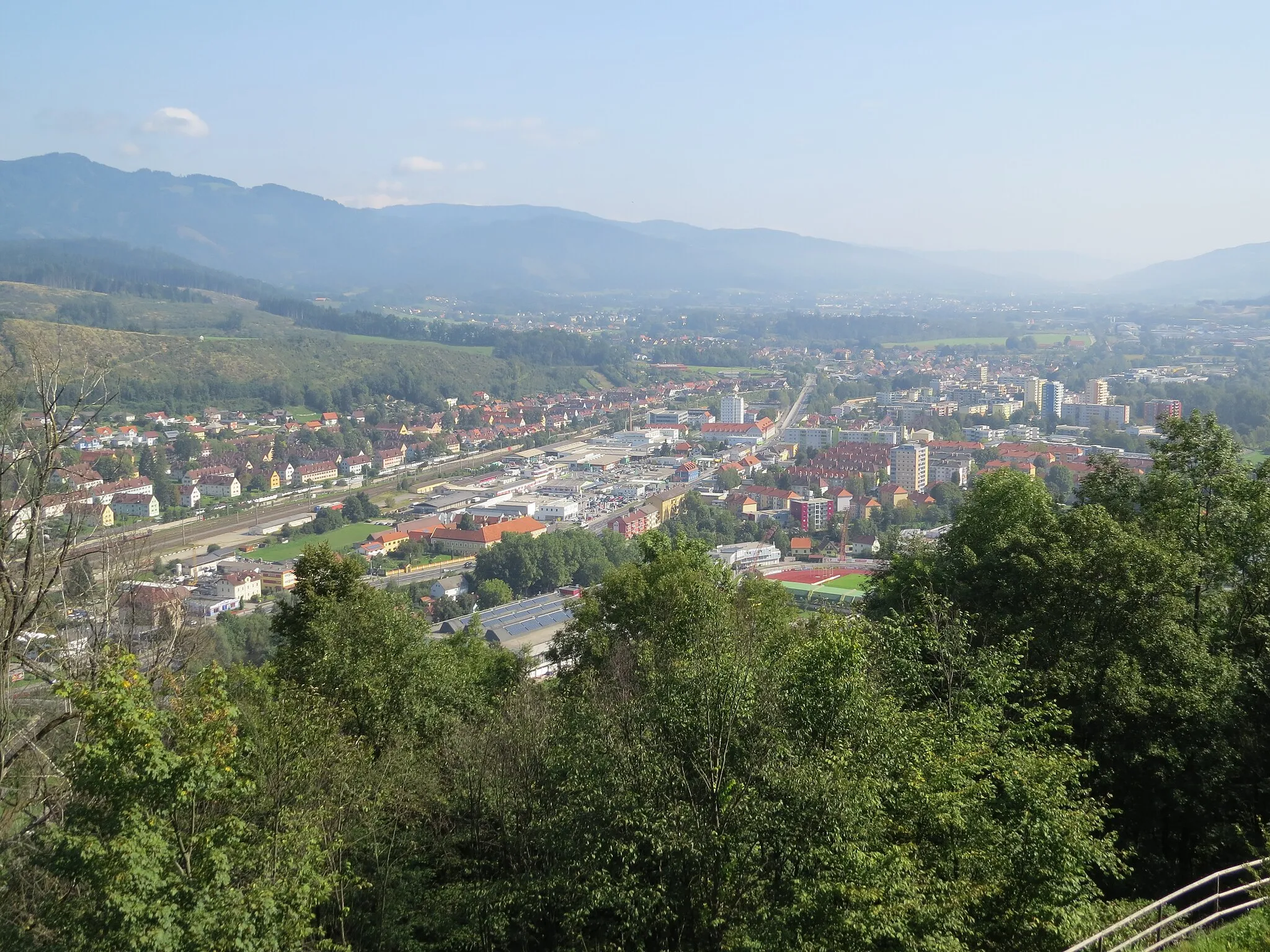
HinterschmidingVillageHinterschmiding is known for its beautiful countryside and traditional Bavarian charm.
38 km
38 km
Almberg1139 mPeakAlmberg is the highest mountain in the Bavarian Forest and offers stunning views from its summit.
40 km
40 km
VorderfirmiansreutVillageVorderfirmiansreut is a small village known for its traditional architecture and picturesque landscapes.
58 km
58 km
Klausgupf929 mPeakKlausgupf is a scenic viewpoint with panoramic views of the Bavarian Forest National Park.
63 km
63 km
Finish: Neureichenau Village centerNeureichenau: Tranquil rides and famous Hochficht-Goldberg-Tour in Neureichenau
Cycling routes from Neureichenau:
Cycling routes nearby: