Prandegg Castle Gravel Challenge
A gravel cycling route starting from Hagenberg im Muehlkreis
Conquer the Prandegg Castle gravel challenge
Map
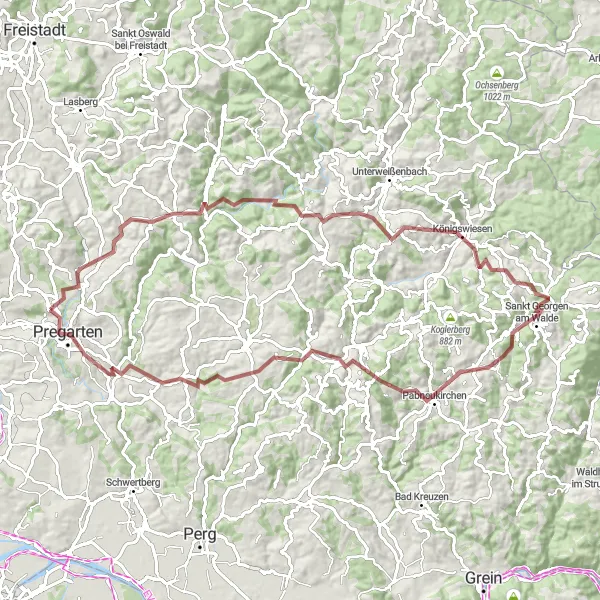
Prepare yourself for an epic gravel challenge to conquer the imposing Prandegg Castle. This 85-kilometer adventure offers breathtaking landscapes and demanding climbs, with a total ascent of 2163 meters. Suitable for experienced gravel cyclists, this route will push your limits and provide a sense of achievement at every turn. Along the way, you will encounter historical landmarks, quaint villages, and the unmatched tranquility of the Mühlviertel region. Conquer the climbs and soak in the stunning views as you explore the hidden treasures of the Austrian countryside!
gravel
85 km
2163 m
Savage
Route profile
Highlights on the route
0 km
0 km
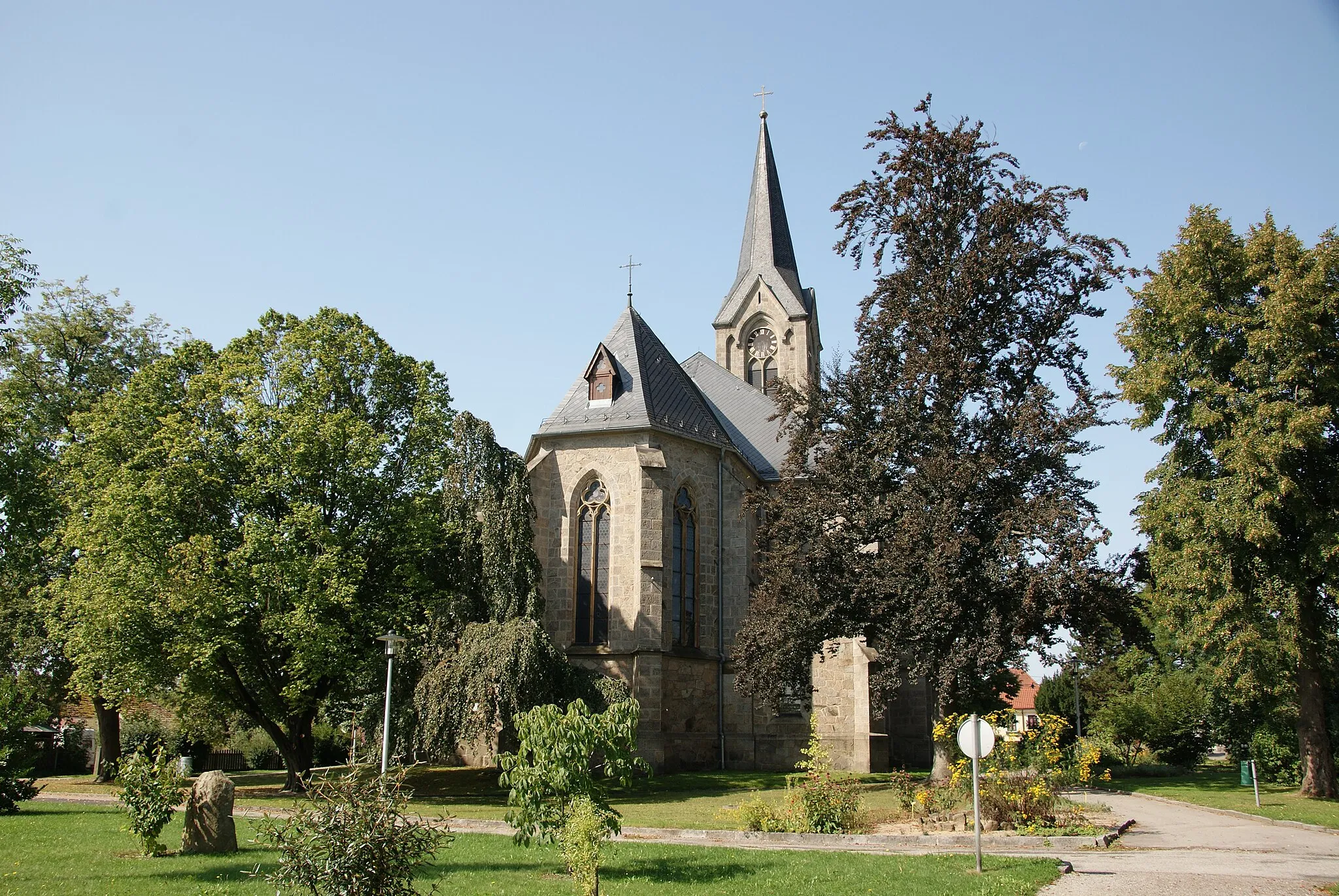
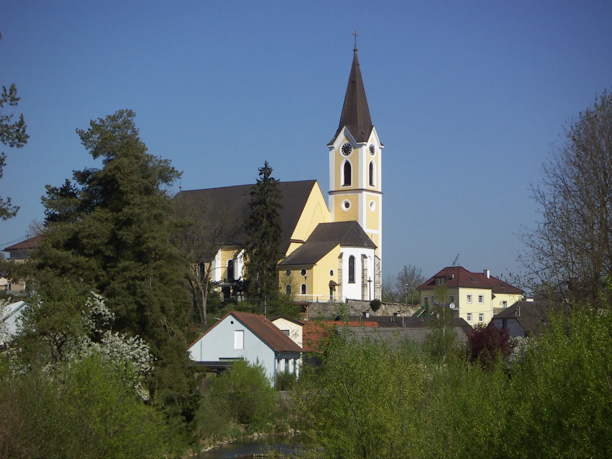
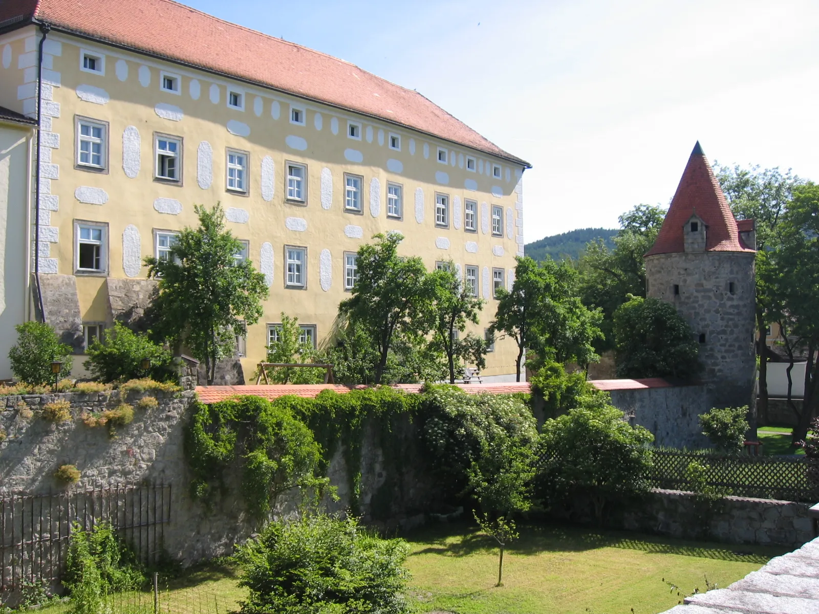
Start: Hagenberg im Mühlkreis Village centerHagenberg im Mühlkreis: Discovering picturesque routes in Hagenberg im Mühlkreis, Austria.
Hagenberg im Mühlkreis, found in Oberösterreich, Austria, welcomes cyclists to explore its scenic landscapes and well-maintained roads. The locality provides road and gravel cyclists with various routes to discover. Although there are no globally famous cycling spots or well-known climbs nearby, Hagenberg im Mühlkreis offers a pleasant environment for cyclists to enjoy their rides.12 km
12 km
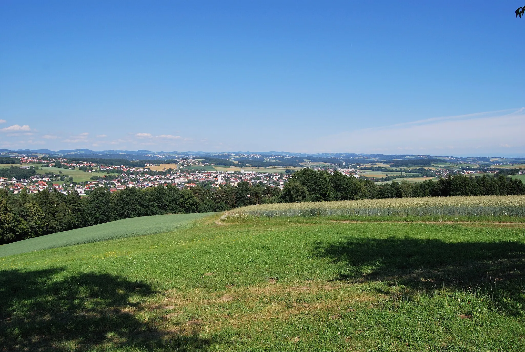
Boblberg674 mPeakBoblberg: A challenging climb with rewarding views at the top.
17 km
17 km
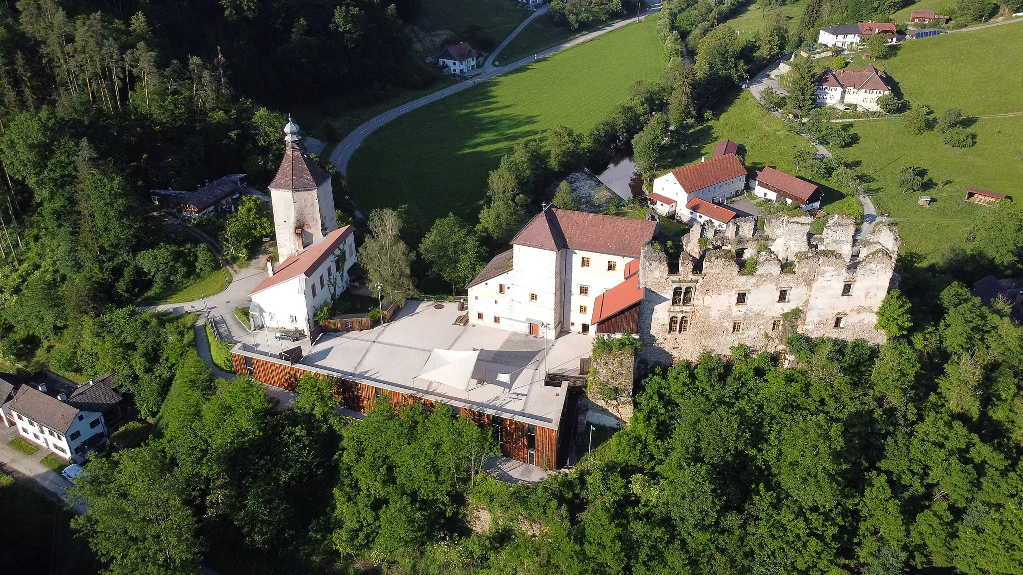
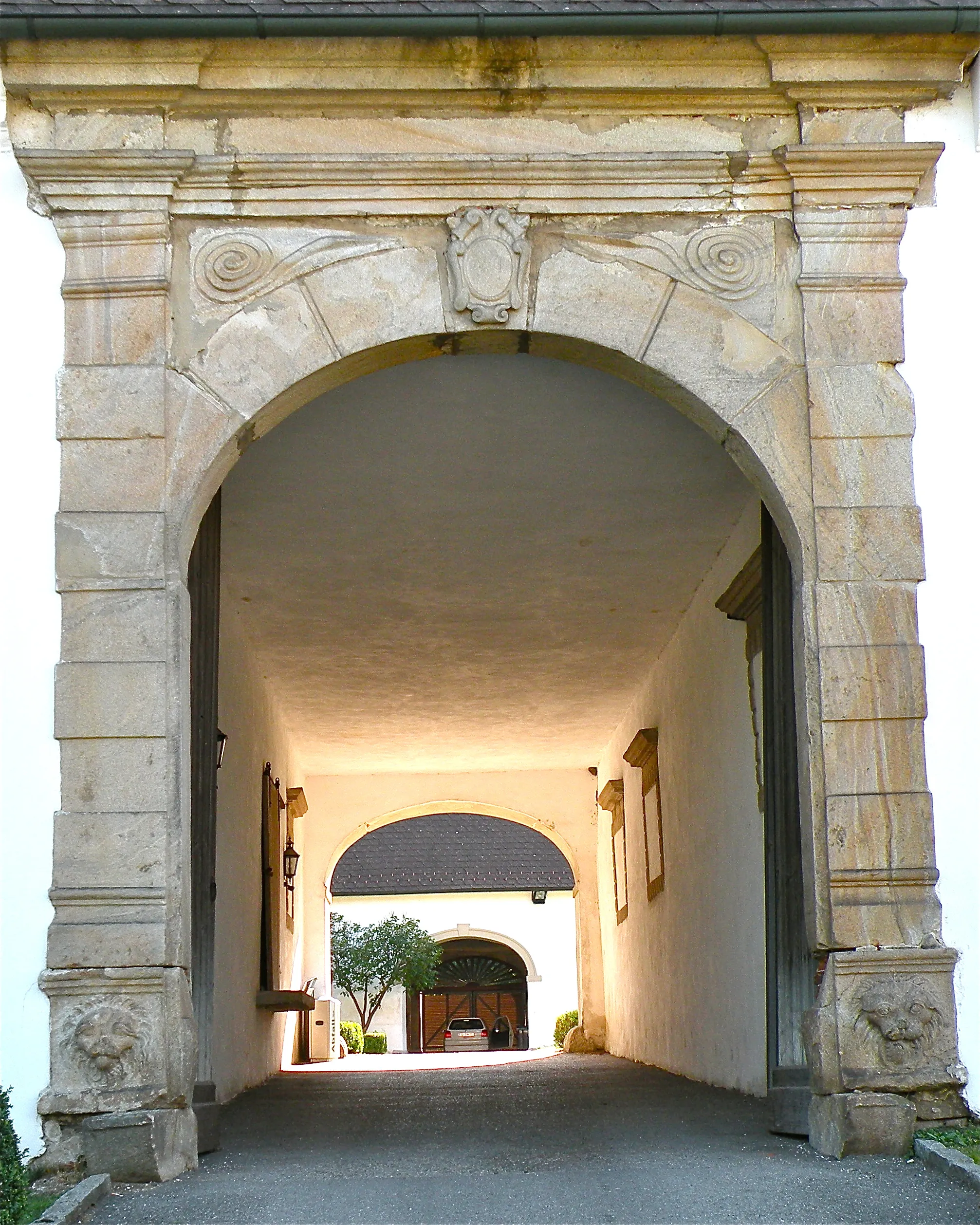
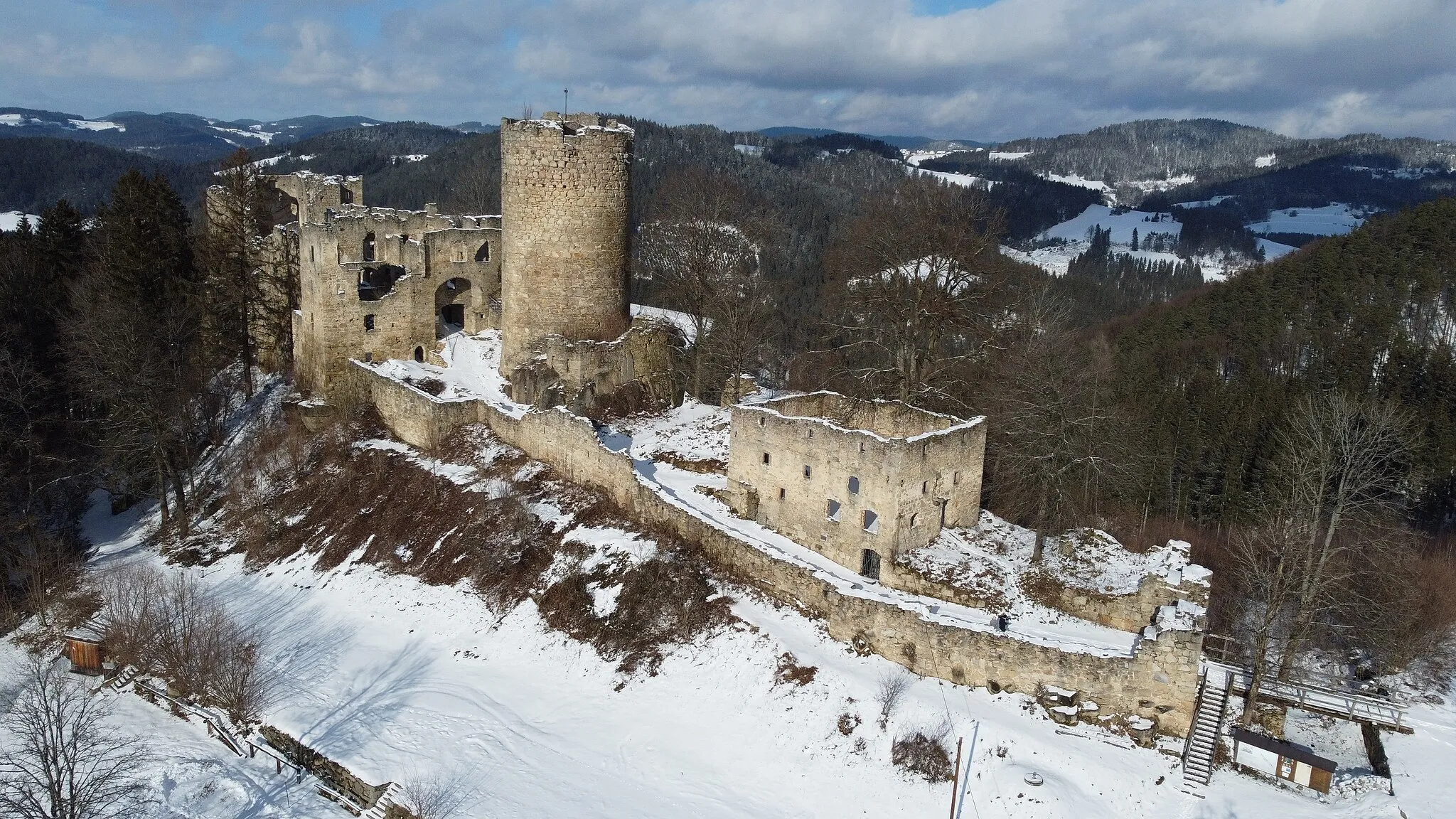
Burgruine PrandeggCastle RuinsBurgruine Prandegg: Explore the ruins of this medieval castle and enjoy panoramic views of the countryside.
26 km
26 km
Aglasberg750 mPeakAglasberg: A steep hillside that offers stunning views of the surrounding landscape.
34 km
34 km
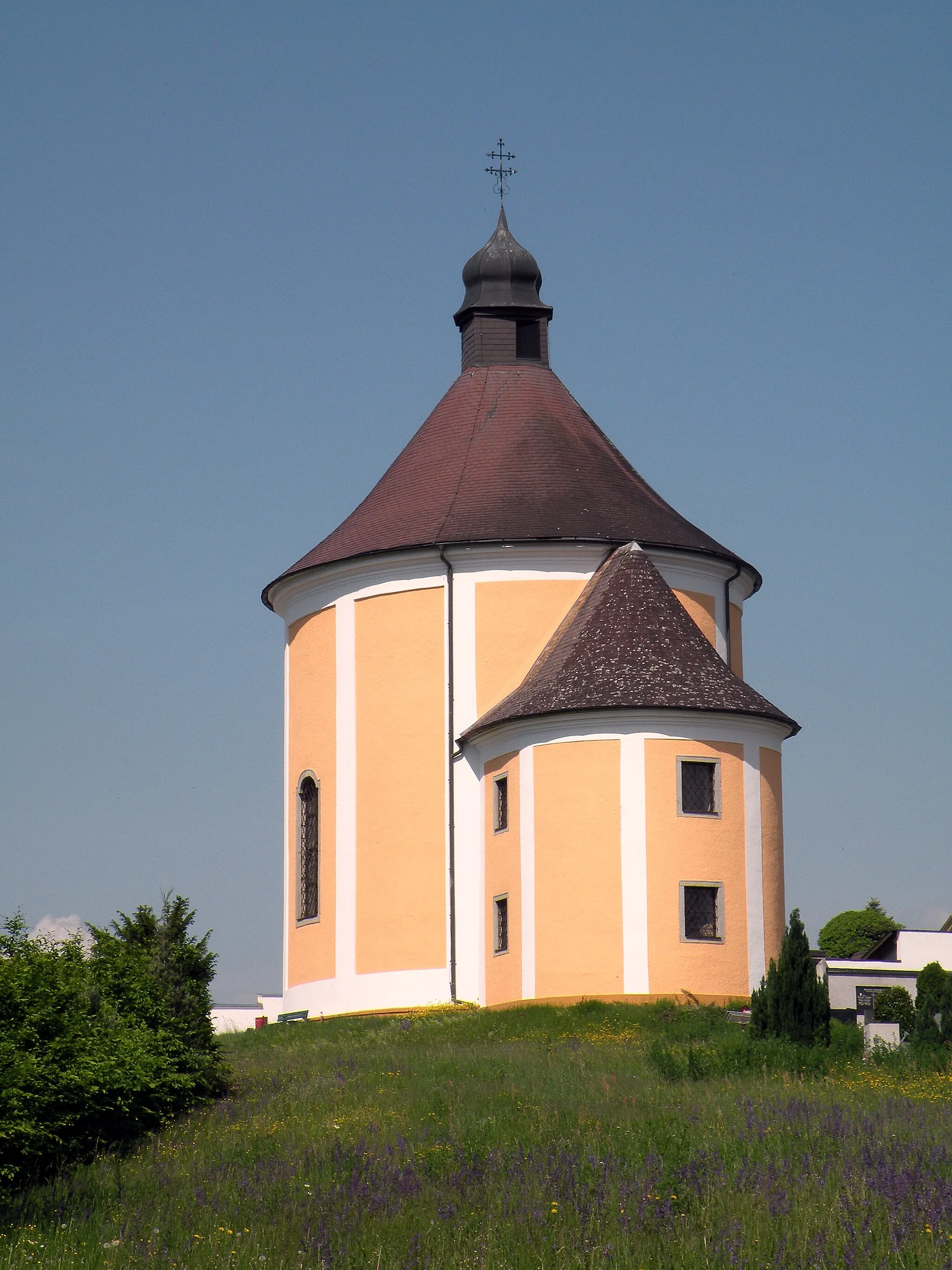
KönigswiesenVillageKönigswiesen: A picturesque village surrounded by rolling hills and lush meadows.
54 km
54 km
PabneukirchenVillagePabneukirchen: A charming town with winding streets and colorful houses.
58 km
58 km
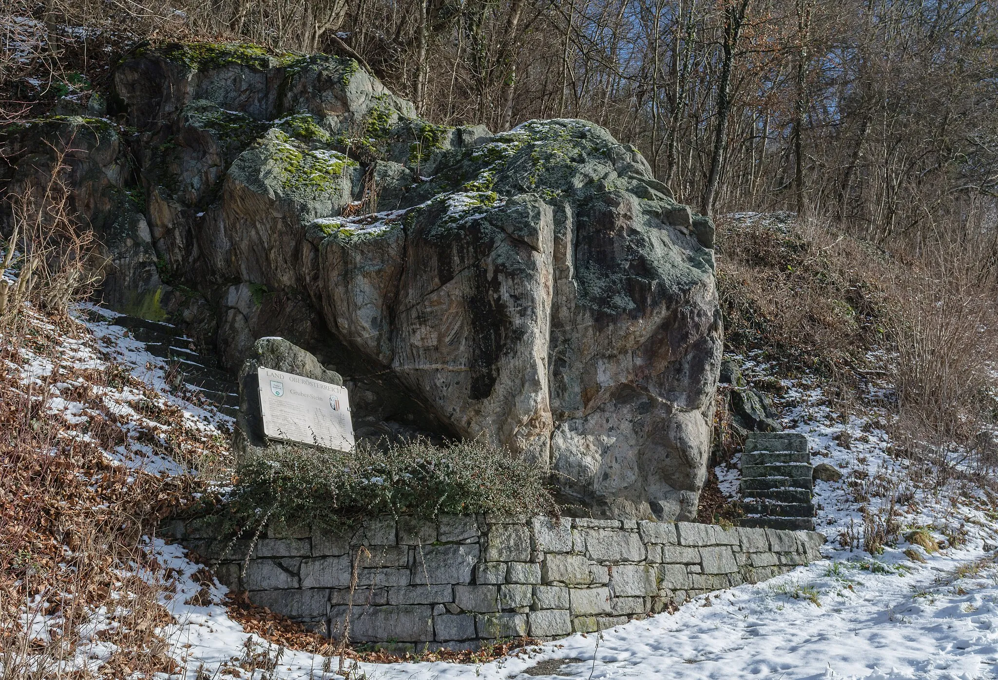
Zigeunermauer744 mPeakZigeunermauer: An impressive natural rock formation along the route.
66 km
66 km
Baumberg630 mPeakBaumberg: A small hill that rewards cyclists with panoramic views of the Mühlviertel countryside.
83 km
83 km
PregartenTownPregarten: A lively town with a friendly atmosphere and traditional architecture.
85 km
85 km
Finish: Hagenberg im Mühlkreis Village centerHagenberg im Mühlkreis: Discovering picturesque routes in Hagenberg im Mühlkreis, Austria.
Cycling routes from Hagenberg im Muehlkreis:
Cycling routes nearby: