Hagenberg Challenge
A road cycling route starting from Hagenberg im Muehlkreis
Experience an adventurous road cycling route with beautiful landscapes and thrilling uphill sections.
Map
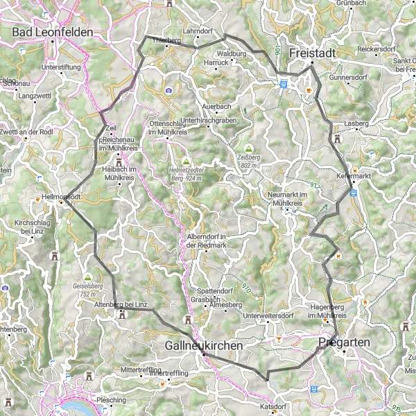
The Hagenberg Challenge is a 72-km road cycling route starting near Hagenberg im Mühlkreis, offering a mix of stunning natural scenery and challenging uphill sections. As you embark on this journey, you'll pass through quaint villages, lush forests, and picturesque farmlands. The route provides a great opportunity to test your endurance and enjoy the beauty of upper Austria.
road
72 km
1250 m
Tough
Route profile
Highlights on the route
0 km
0 km
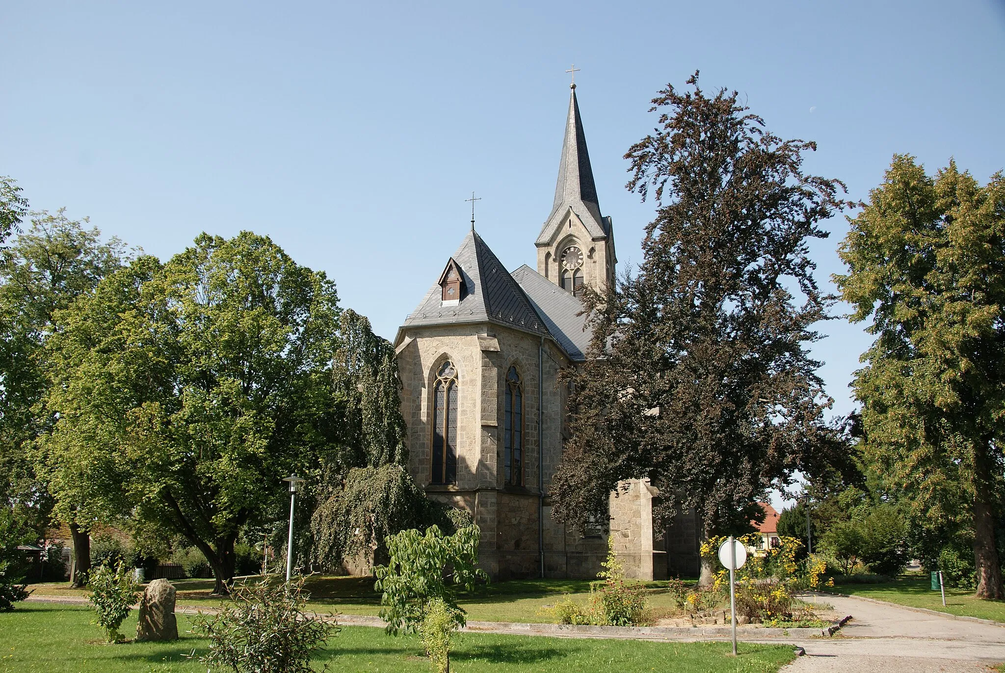
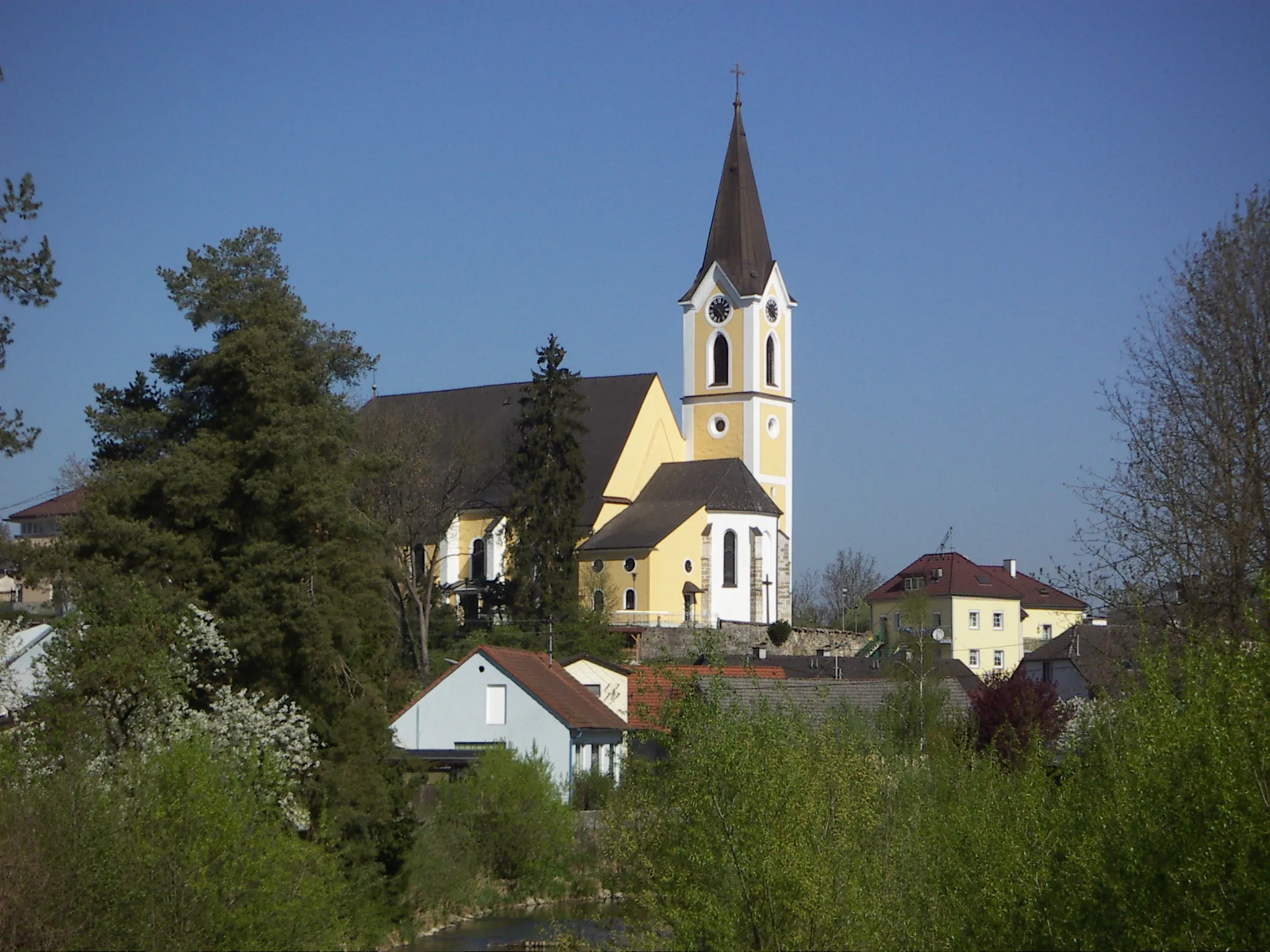
Start: Wartberg ob der Aist Village centerHagenberg im Mühlkreis: Discovering picturesque routes in Hagenberg im Mühlkreis, Austria.
Hagenberg im Mühlkreis, found in Oberösterreich, Austria, welcomes cyclists to explore its scenic landscapes and well-maintained roads. The locality provides road and gravel cyclists with various routes to discover. Although there are no globally famous cycling spots or well-known climbs nearby, Hagenberg im Mühlkreis offers a pleasant environment for cyclists to enjoy their rides.9 km
9 km
GallneukirchenTownLocated at a distance of 9 km from the starting point, Gallneukirchen is known for its historic architecture and charming atmosphere. Take a break here and explore the local attractions in this vibrant town.
24 km
24 km
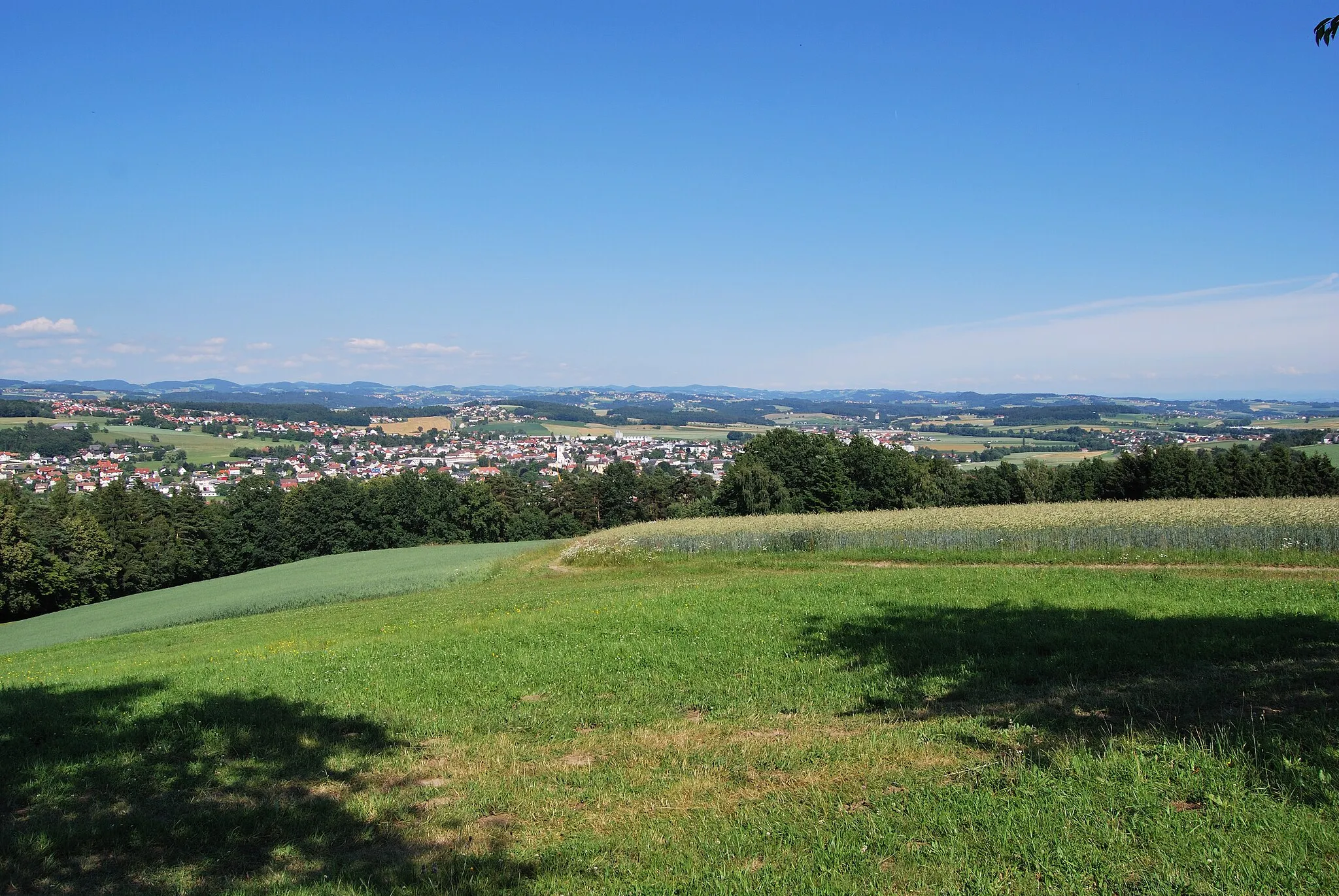
HellmonsödtVillageHellmonsödt, situated around 24 km into the ride, is a tranquil village surrounded by rolling hills. Stop at one of the local cafes and enjoy a refreshing drink while taking in the scenic views.
42 km
42 km
Hochbühel720 mPeakHochbühel, located around 42 km into the route, offers a challenging climb that rewards you with breathtaking panoramic views of the surrounding countryside. Take a moment to catch your breath and admire the beauty of nature.
49 km
49 km
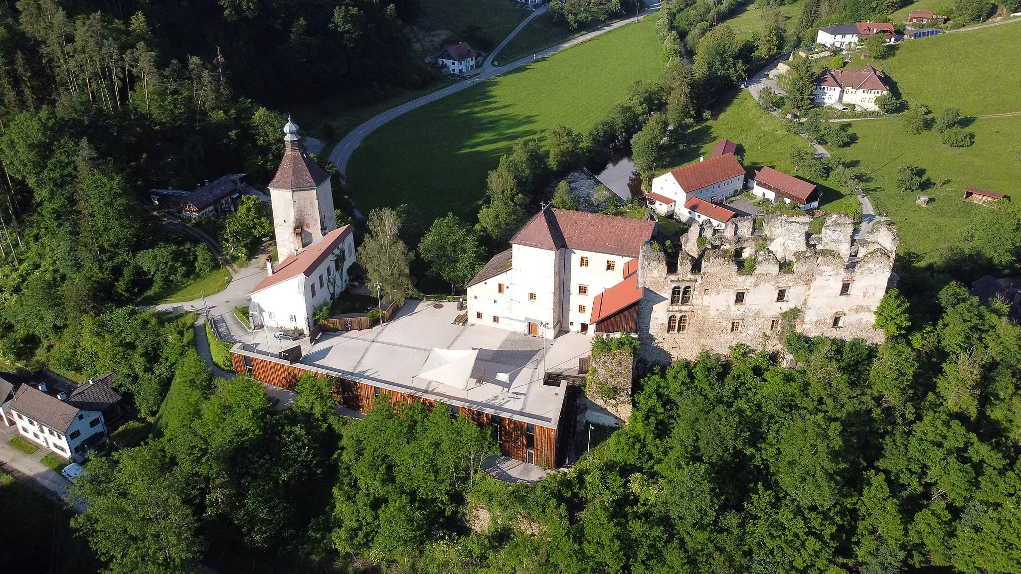
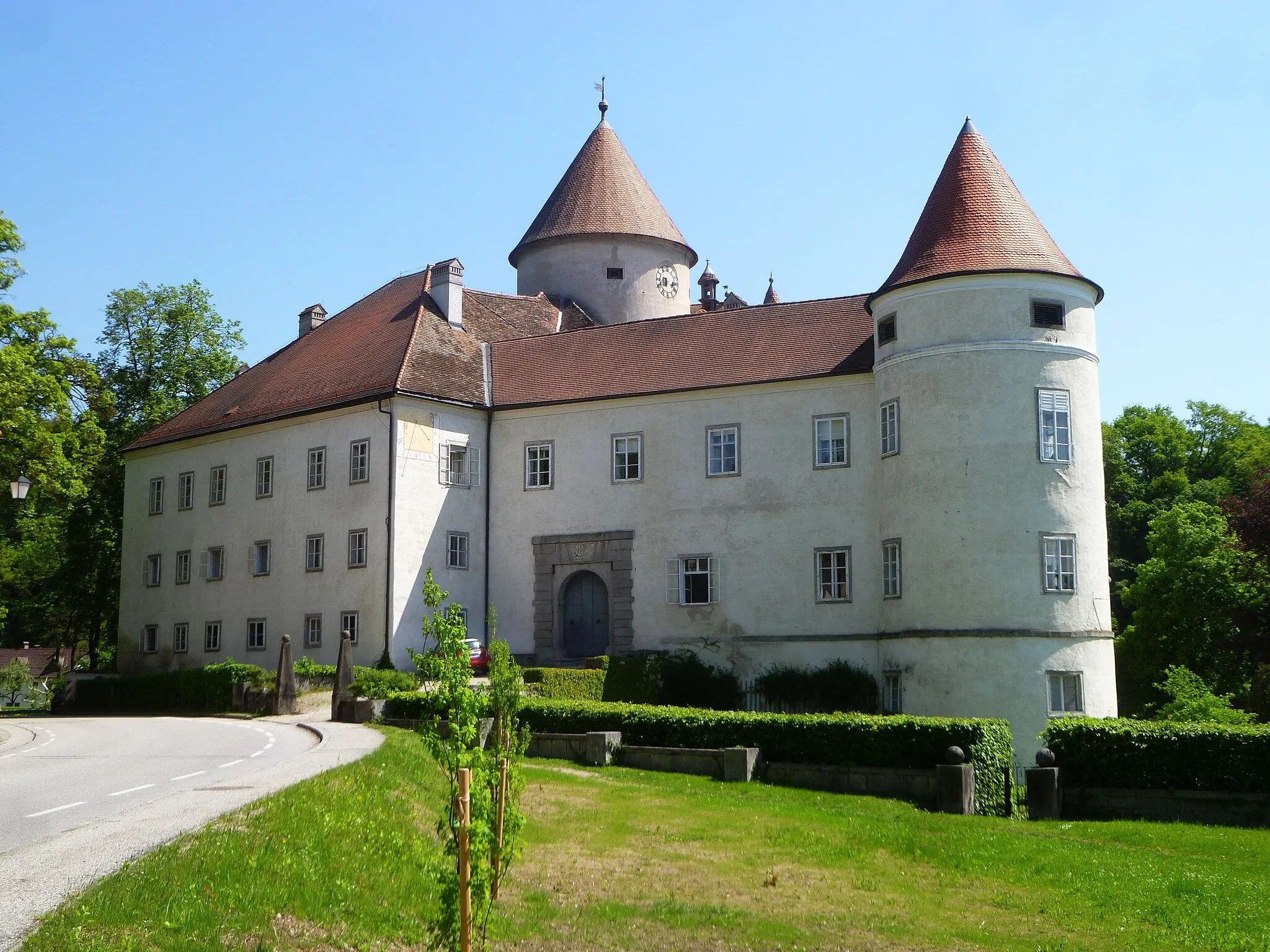
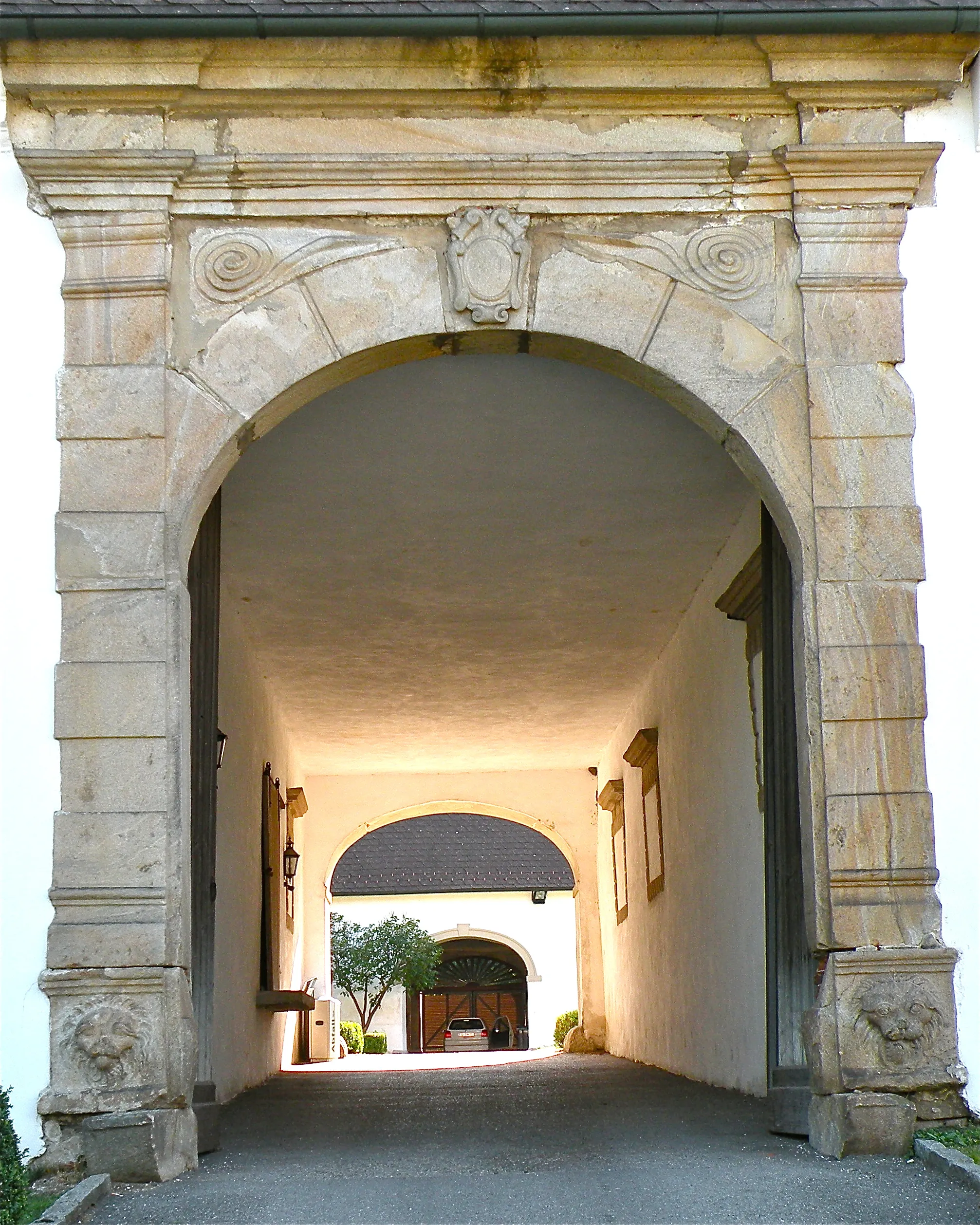
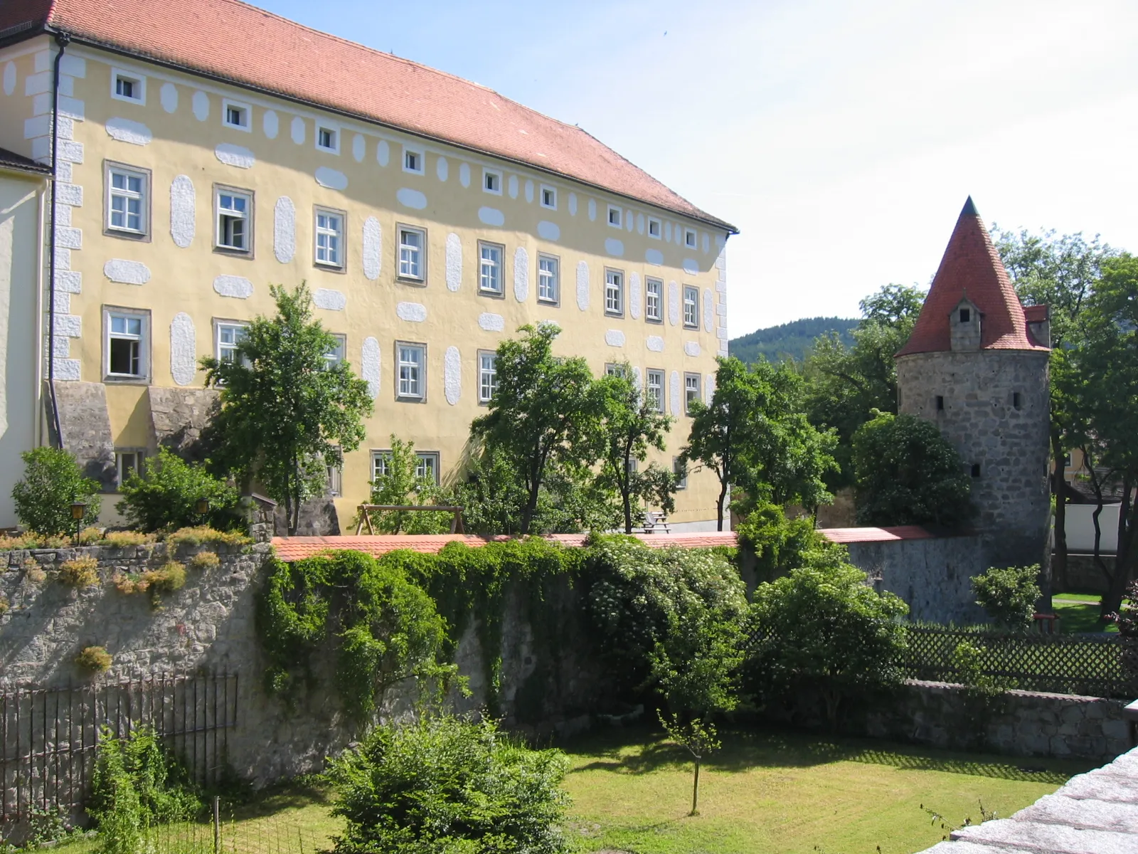
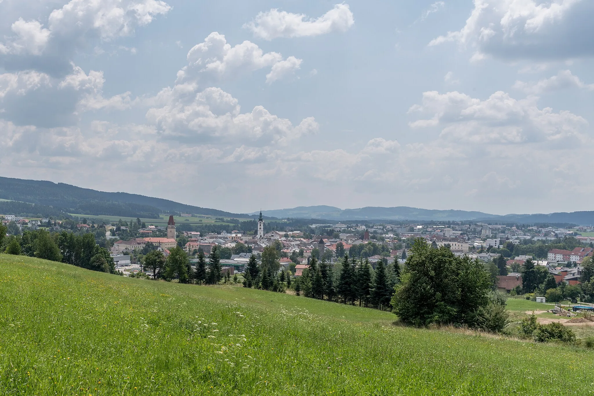
FreistadtTownFreistadt, situated at a distance of 49 km from the starting point, is a medieval town with a rich history. Explore the well-preserved city walls, visit the castle, and immerse yourself in the charming atmosphere.
62 km
62 km
Kempfendorfer Berg729 mPeakKempfendorfer Berg is the highlight of the route, located approximately 62 km into the ride. This challenging ascent provides a true test of your cycling abilities. Reach the summit and be rewarded with stunning views of the rolling hills.
72 km
72 km
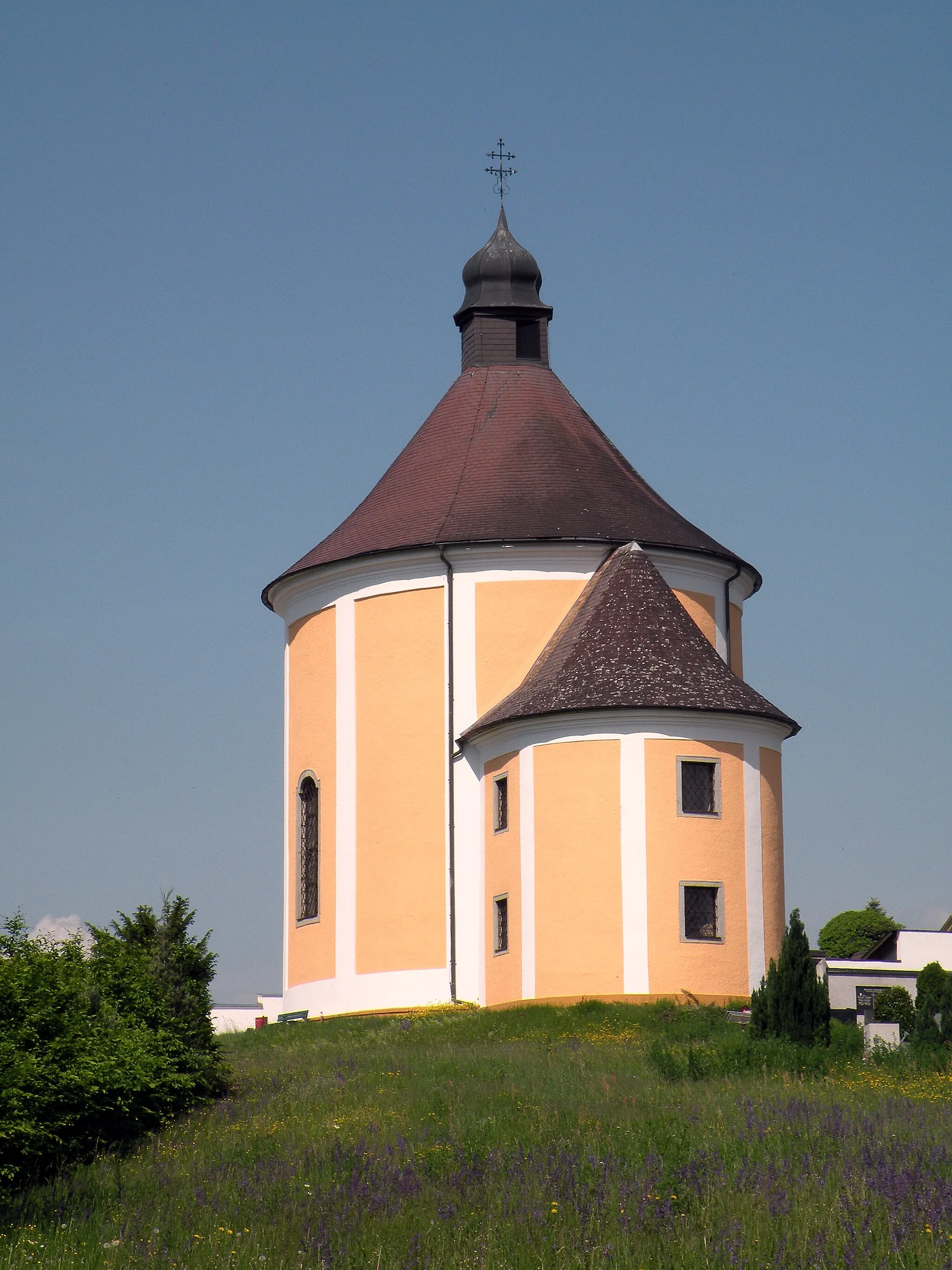
Wartberg ob der AistVillageWartberg ob der Aist, the final highlight of the route, is known for its picturesque beauty. Located at the 72 km mark, this small town is perfect for a well-deserved rest before heading back.
72 km
72 km
Finish: Wartberg ob der Aist Village centerHagenberg im Mühlkreis: Discovering picturesque routes in Hagenberg im Mühlkreis, Austria.
Cycling routes from Hagenberg im Muehlkreis:
Cycling routes nearby: