Gravel Adventure
A gravel cycling route starting from Hoechst
An off-road adventure through diverse landscapes and hidden gems.
Map
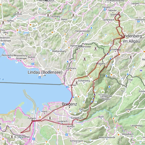
This round-trip cycling route near Höchst takes you on an off-road adventure through diverse landscapes and hidden gems. With a total distance of 76 kilometers and an elevation gain of 1,538 meters, it is a challenging gravel ride for experienced cyclists seeking excitement and exploration. Along the route, you'll pass highlights such as Känzele, offering stunning views of the Rhine Valley, and the Aussichtspunkt, a hidden gem with panoramic vistas awaiting discovery. The difficulty level of this route is rated 4, suitable for fit and well-trained amateurs.
gravel
76 km
1538 m
Tough
Route profile
Highlights on the route
0 km
0 km
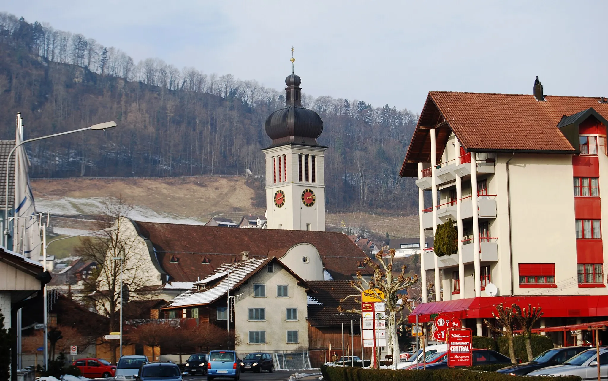
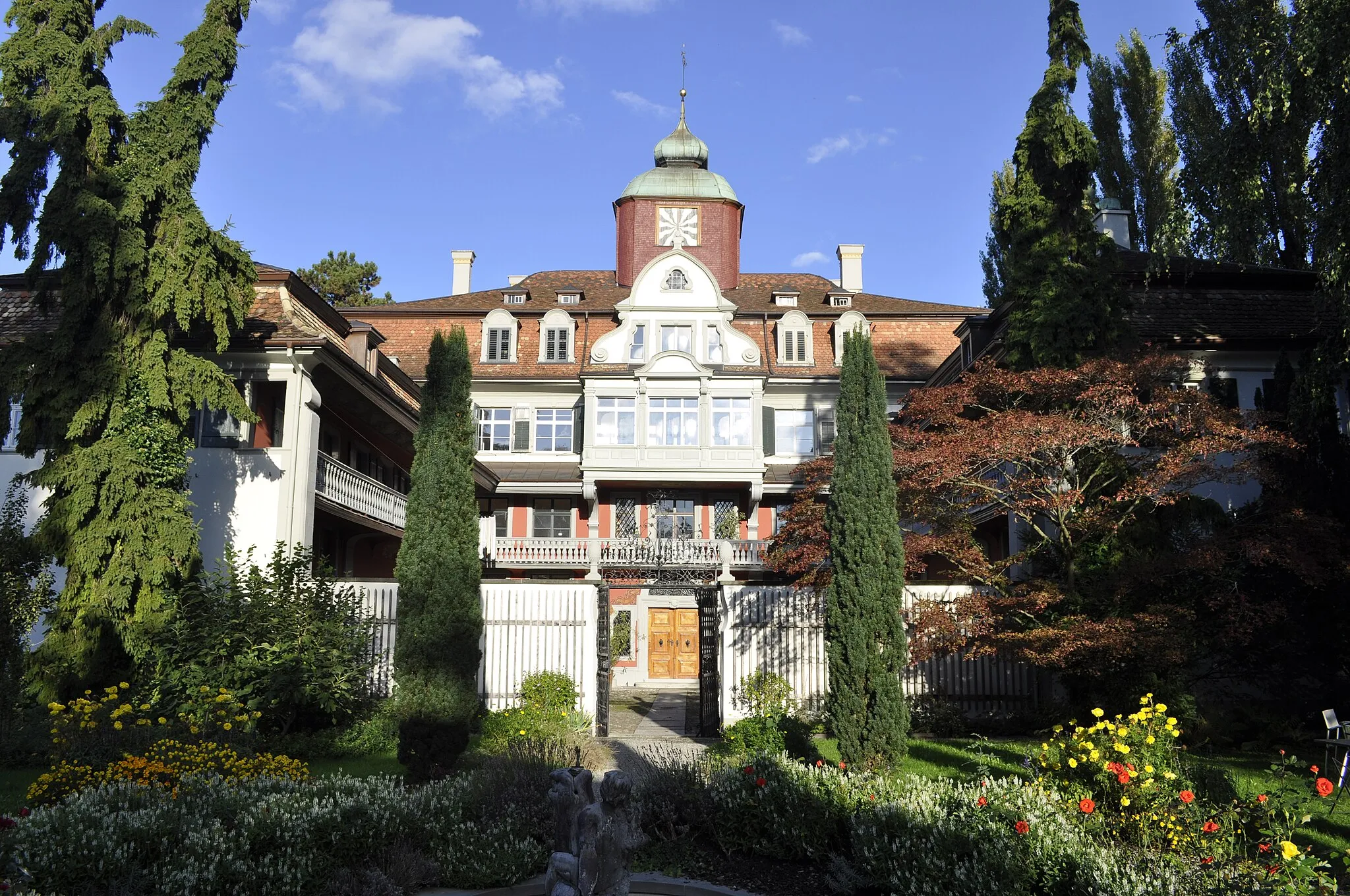
Start: Höchst Village centerHöchst: Stunning Landscapes and Challenging Climbs
Höchst, located in Vorarlberg, Austria, is a cyclist's paradise. The region offers a mix of challenging climbs and scenic cycling routes, making it suitable for both road and gravel cyclists. Cyclists can enjoy breathtaking views of the surrounding mountains and picturesque villages along their ride. The roads in Höchst are well-maintained and feature dedicated cycling paths, ensuring a safe and enjoyable cycling experience. Cyclists in Höchst can also visit nearby attractions such as the Bregenzerwald or the Lake Constance. The renowned Hirschberg climb is a must-visit for cycling enthusiasts. Höchst is a truly remarkable destination for cyclists seeking a combination of stunning landscapes and exhilarating rides.11 km
11 km
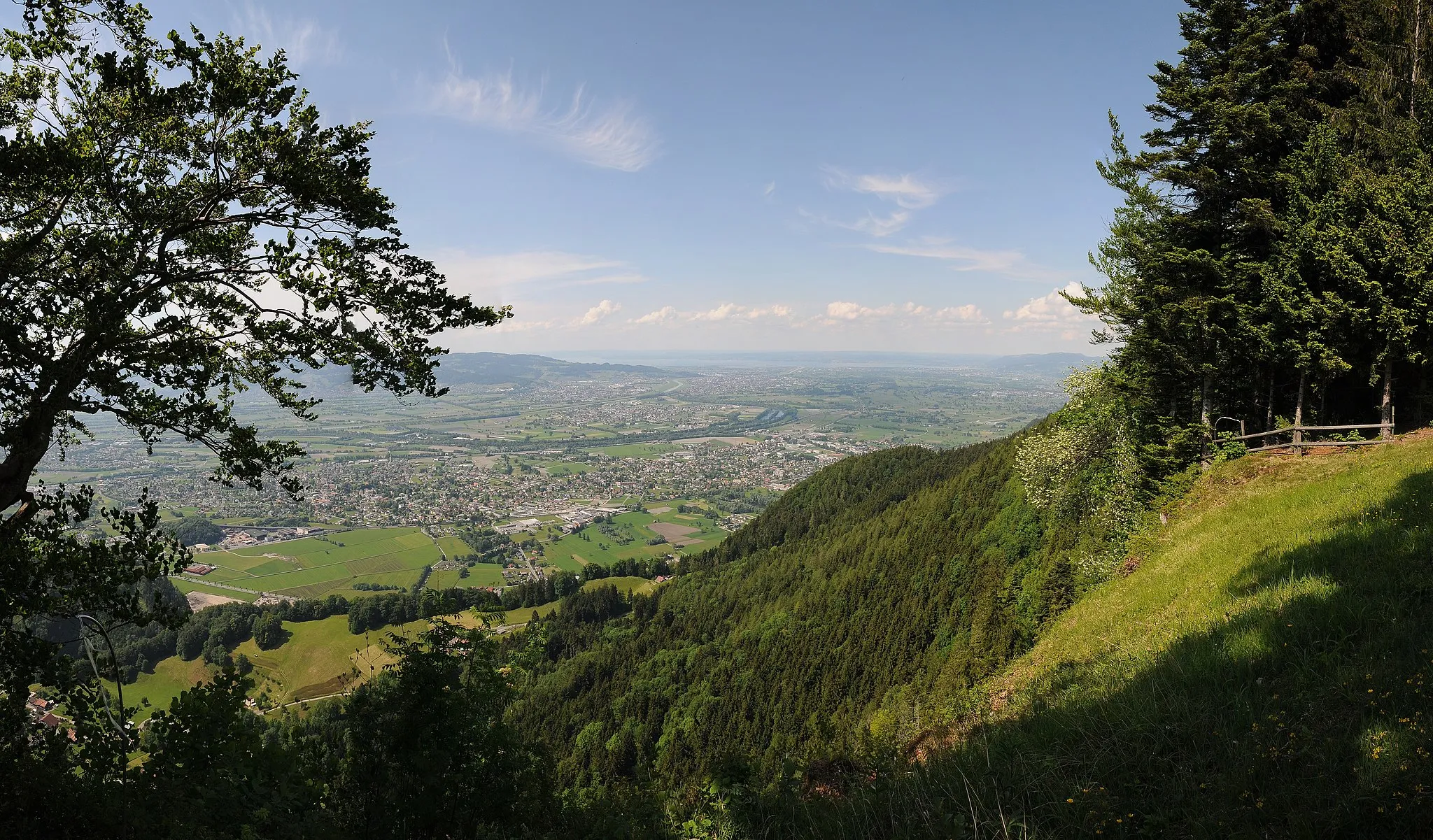
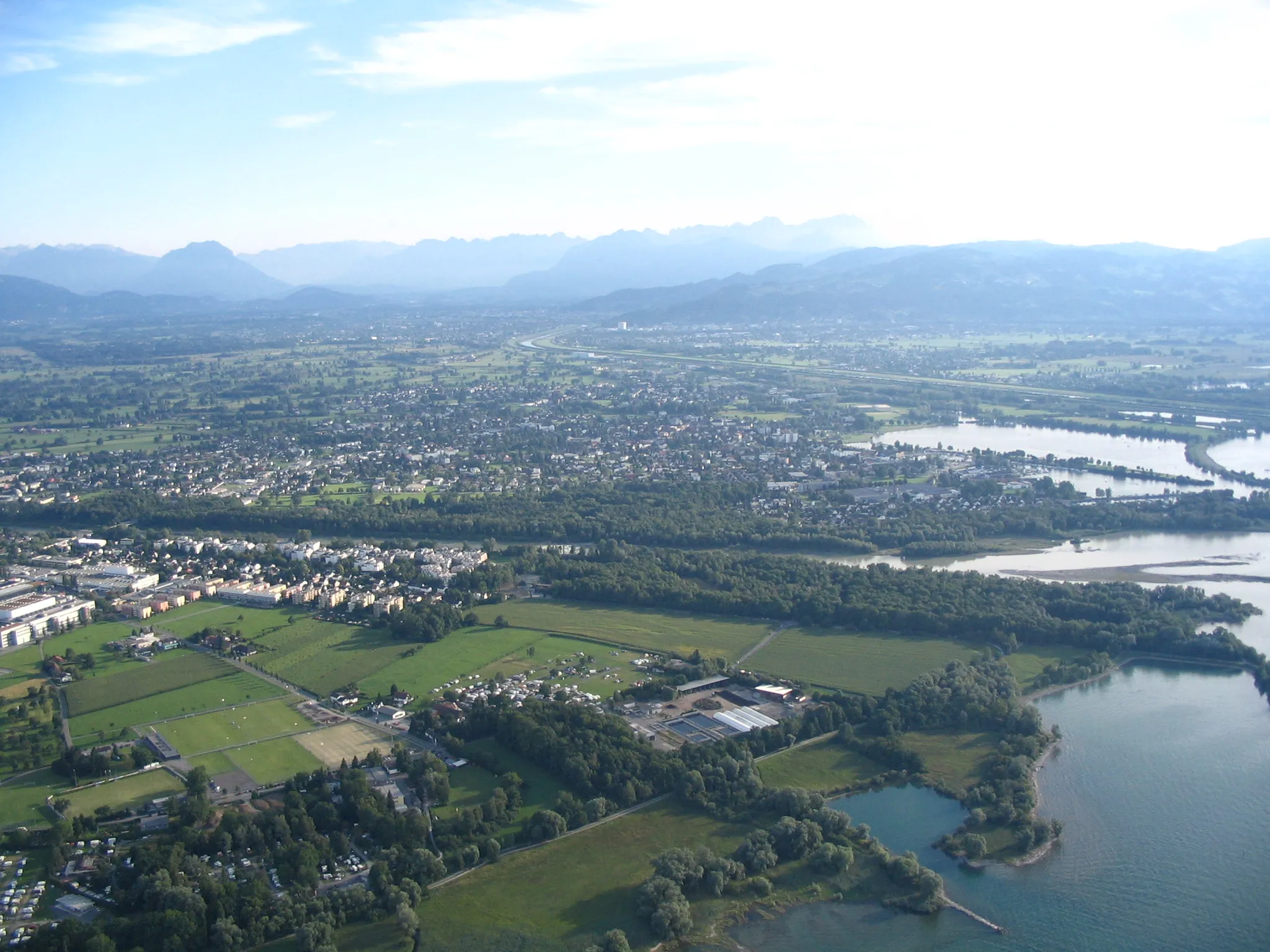
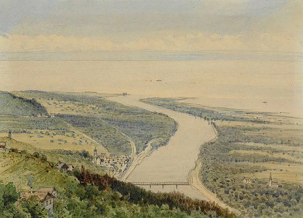
KänzeleViewpointKänzele is a vantage point that rewards cyclists with panoramic views of the Rhine Valley and the surrounding landscapes. Appreciate the natural beauty from this elevated spot before descending into the gravel paths.
12 km
12 km
KennelbachVillageKennelbach is a charming village known for its traditional architecture and tranquil ambiance. Take a moment to soak in the idyllic scenery before continuing your adventure.
25 km
25 km
Tatzen1024 mPeakTatzen is a hidden gem along the route, offering peaceful surroundings and scenic beauty. Stop by for a moment of tranquility amidst your gravel adventure.
31 km
31 km
ScheideggVillageScheidegg is a small village nestled in a picturesque setting. Marvel at the charming architecture as you pedal through its streets.
50 km
50 km
1. WasserfallViewpointThe 1st Wasserfall is a scenic waterfall that provides a refreshing stop along the route. Take a break and enjoy the soothing sound of cascading water.
54 km
54 km
MöggersVillageMöggers is a charming village surrounded by lush green meadows and tranquil landscapes. Pause for a moment to soak in the serenity.
64 km
64 km
AussichtspunktViewpointThe Aussichtspunkt is a hidden gem offering panoramic vistas of the surrounding landscapes. Discover this scenic spot and let it take your breath away.
70 km
70 km
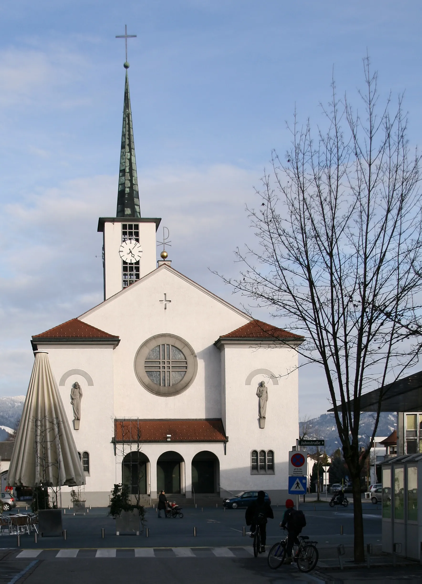
HardVillageHard is a delightful town located on the shores of Lake Constance. Enjoy its tranquil atmosphere and take in the beauty of the lake as you ride along.
76 km
76 km
Finish: Höchst Village centerHöchst: Stunning Landscapes and Challenging Climbs
Cycling routes from Hoechst:
Cycling routes nearby: