The Vorarlberg-Alp Crossing
A road cycling route starting from Hoechst
Explore the highlights of Vorarlberg in one captivating ride
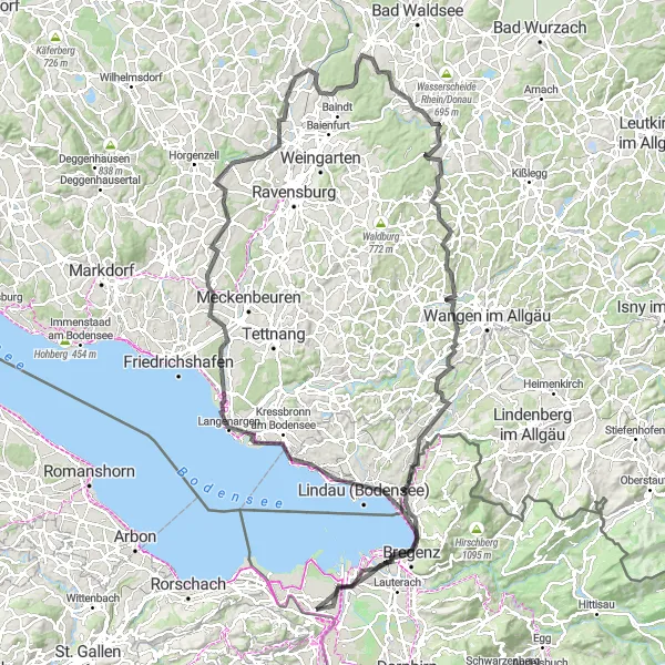
Map
This route takes you on a scenic journey through the beautiful region of Vorarlberg. The route offers a challenging climb and stunning mountain views. You will pass through charming villages, visit historic landmarks, and experience the natural beauty of the area. The route is suitable for road bikes and provides a variety of terrains. With a total ascent of 1,346 meters and a distance of 156 kilometers, this ride will test your endurance and reward you with unforgettable memories.
road
156 km
1346 m
Tough
Route profile
Highlights on the route
0 km
0 km
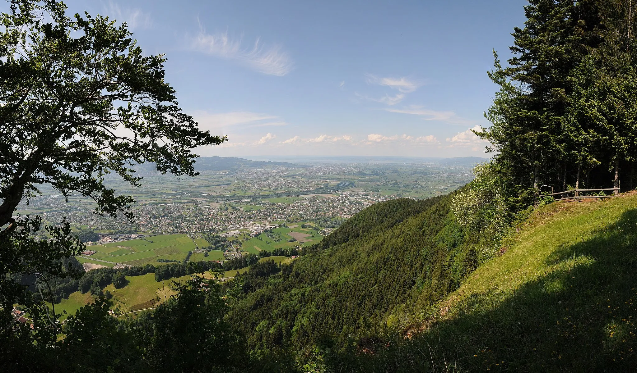
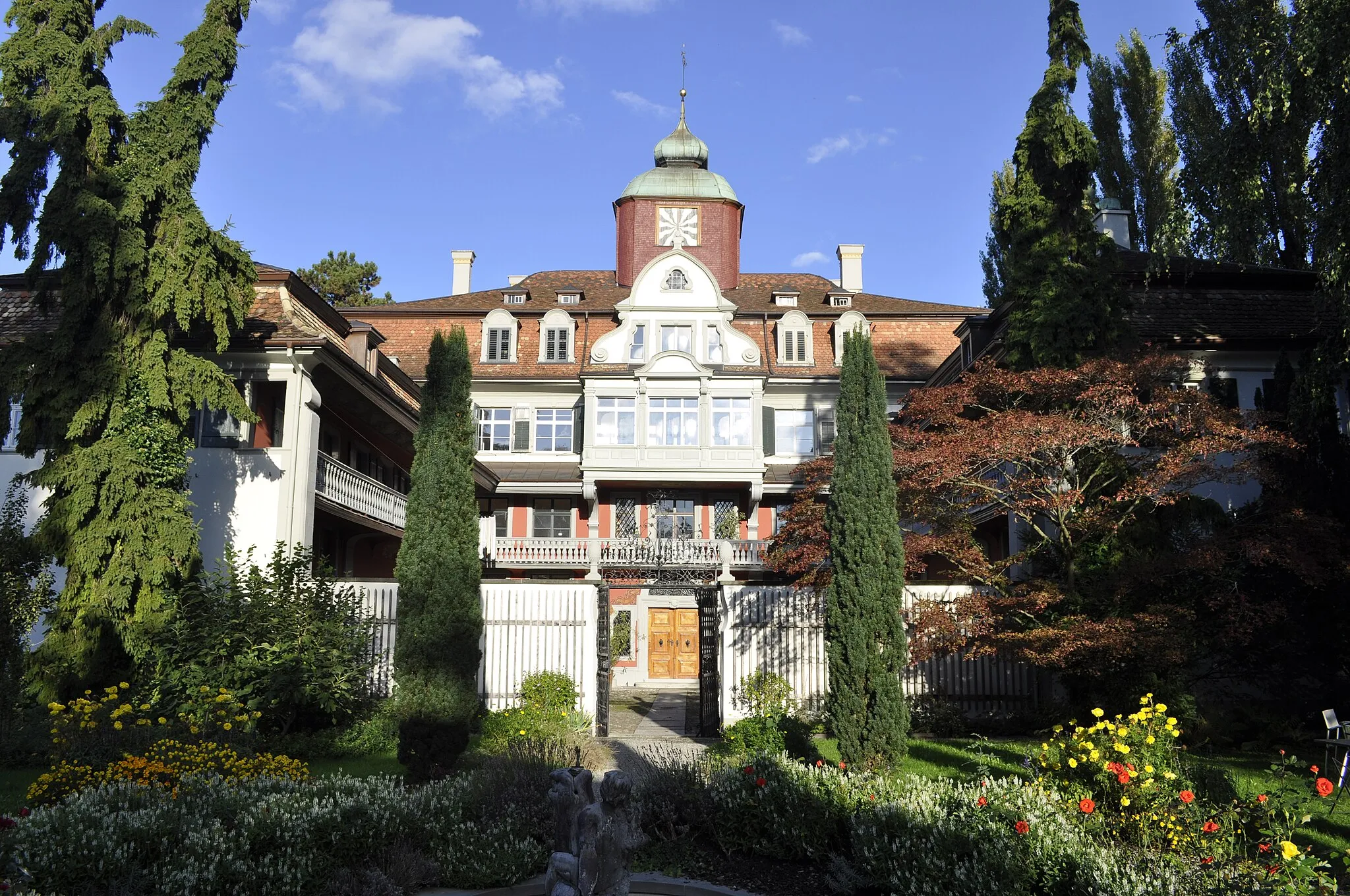
Start: Höchst Village centerHöchst: Stunning Landscapes and Challenging Climbs
Höchst, located in Vorarlberg, Austria, is a cyclist's paradise. The region offers a mix of challenging climbs and scenic cycling routes, making it suitable for both road and gravel cyclists. Cyclists can enjoy breathtaking views of the surrounding mountains and picturesque villages along their ride. The roads in Höchst are well-maintained and feature dedicated cycling paths, ensuring a safe and enjoyable cycling experience. Cyclists in Höchst can also visit nearby attractions such as the Bregenzerwald or the Lake Constance. The renowned Hirschberg climb is a must-visit for cycling enthusiasts. Höchst is a truly remarkable destination for cyclists seeking a combination of stunning landscapes and exhilarating rides.0 km
0 km
St. MargrethenVillageSt. Margrethen is the starting point of the route and is known for its rich history and scenic surroundings. Take the time to explore its charming streets and learn about its past.
19 km
19 km
Lindau (Bodensee)TownLindau (Bodensee) is a picturesque town located on a small island in Lake Constance. Its historic old town is dotted with colorful buildings and cozy cafes.
21 km
21 km
Bismarck-DenkmalViewpointBismarck-Denkmal is a monument dedicated to the German statesman Otto von Bismarck. It offers panoramic views of the surrounding landscape.
35 km
35 km
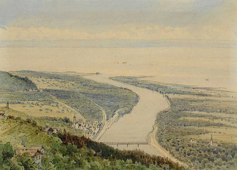
SchussenmündungViewpointSchussenmündung is the point where the Schussen River flows into Lake Constance. Enjoy the serene beauty of this natural spot.
38 km
38 km
EriskirchVillageEriskirch is a charming village located on the shores of Lake Constance. Take a break here and enjoy the calming waters.
48 km
48 km
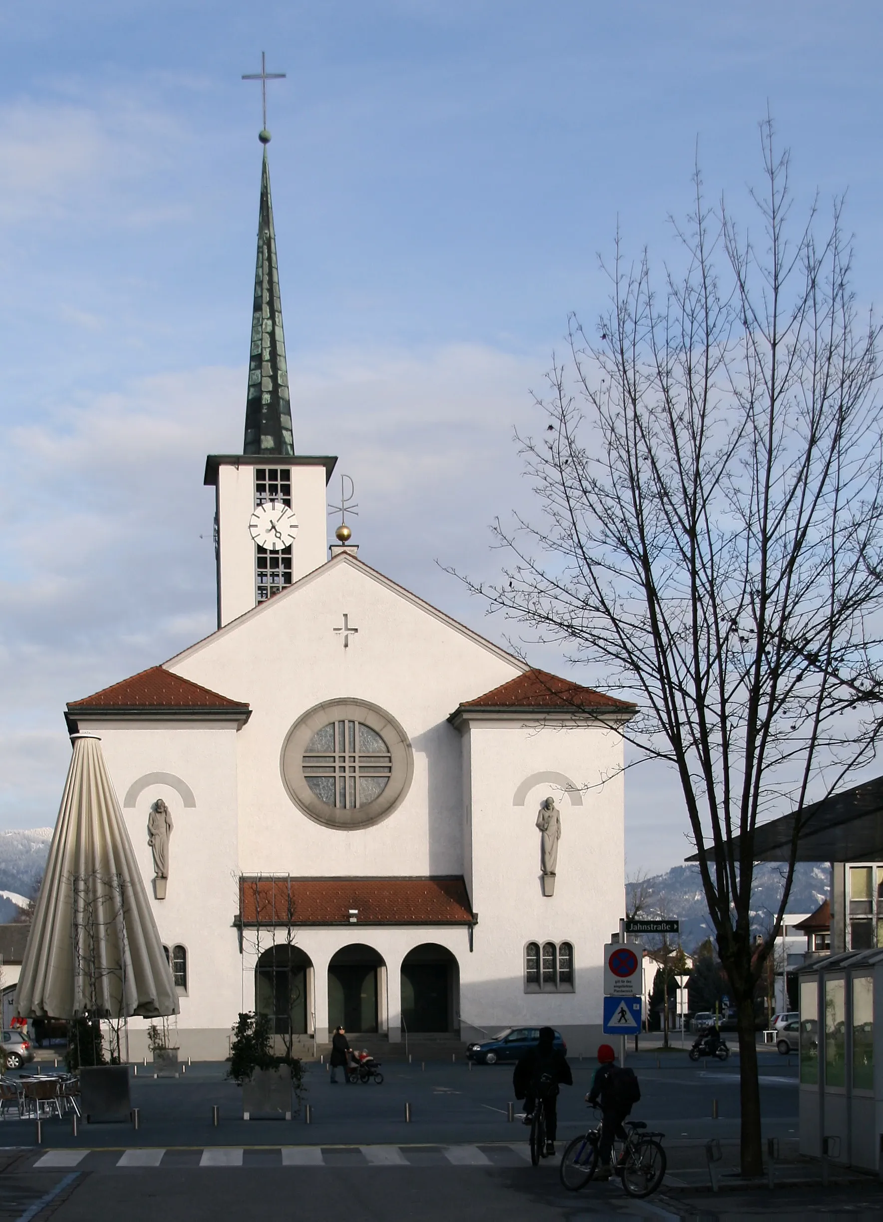
EttenkirchSub-urbEttenkirch is a small town with a rich history. Visit its medieval church and take a stroll through its picturesque streets.
62 km
62 km
SchmaleggVillageSchmalegg is a traditional German village known for its well-preserved half-timbered houses. Take a moment to admire the unique architecture.
63 km
63 km
SchlossbüchelViewpointSchlossbüchel is an impressive castle located on a hilltop. Admire its grandeur and enjoy the panoramic views of the surrounding countryside.
76 km
76 km
MochenwangenVillageMochenwangen is a quaint village with beautiful countryside views. Take a break here and soak in the peaceful atmosphere.
91 km
91 km
BergatreuteVillageBergatreute is a charming town with a rich history. Explore its historic buildings and relax in the tranquil surroundings.
120 km
120 km
NiederwangenVillageNiederwangen is a small village surrounded by rolling hills and greenery. Take a moment to enjoy the idyllic scenery.
132 km
132 km
SigmarszellVillageSigmarszell is a medieval town with narrow streets and quaint houses. Explore its historic center and soak in its medieval charm.
150 km
150 km
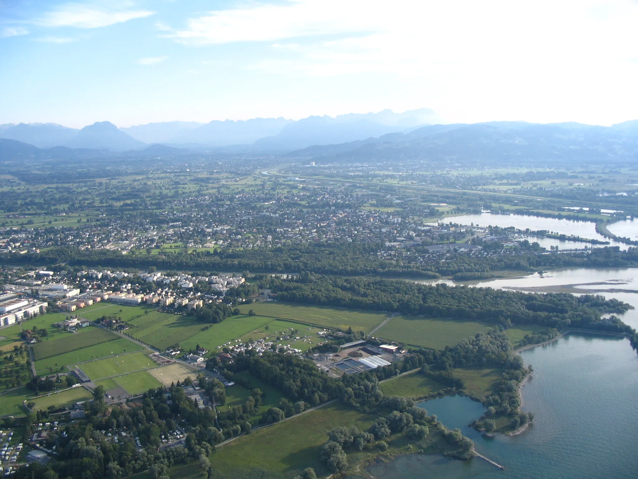
HardVillageHard is a popular beach town located on the shores of Lake Constance. Take a dip in the lake or relax on the sandy beach.
156 km
156 km
Finish: Höchst Village centerHöchst: Stunning Landscapes and Challenging Climbs
Cycling routes from Hoechst:
Cycling routes nearby: