The Gravel Adventure
A gravel cycling route starting from Hoechst
Embark on an exciting gravel adventure through Vorarlberg
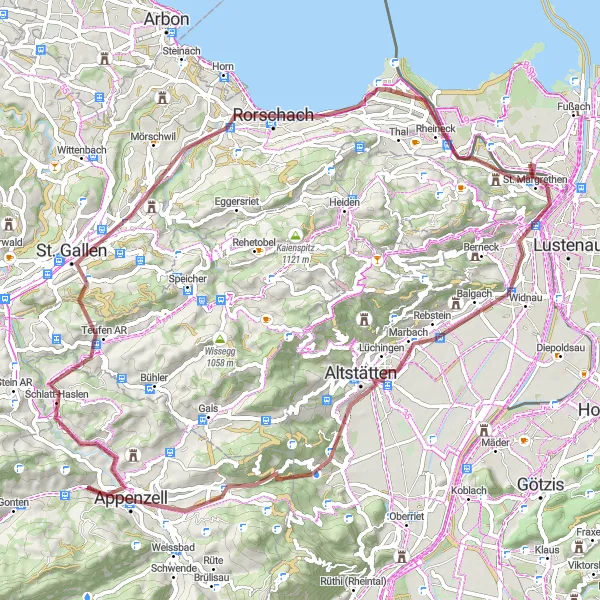
Map
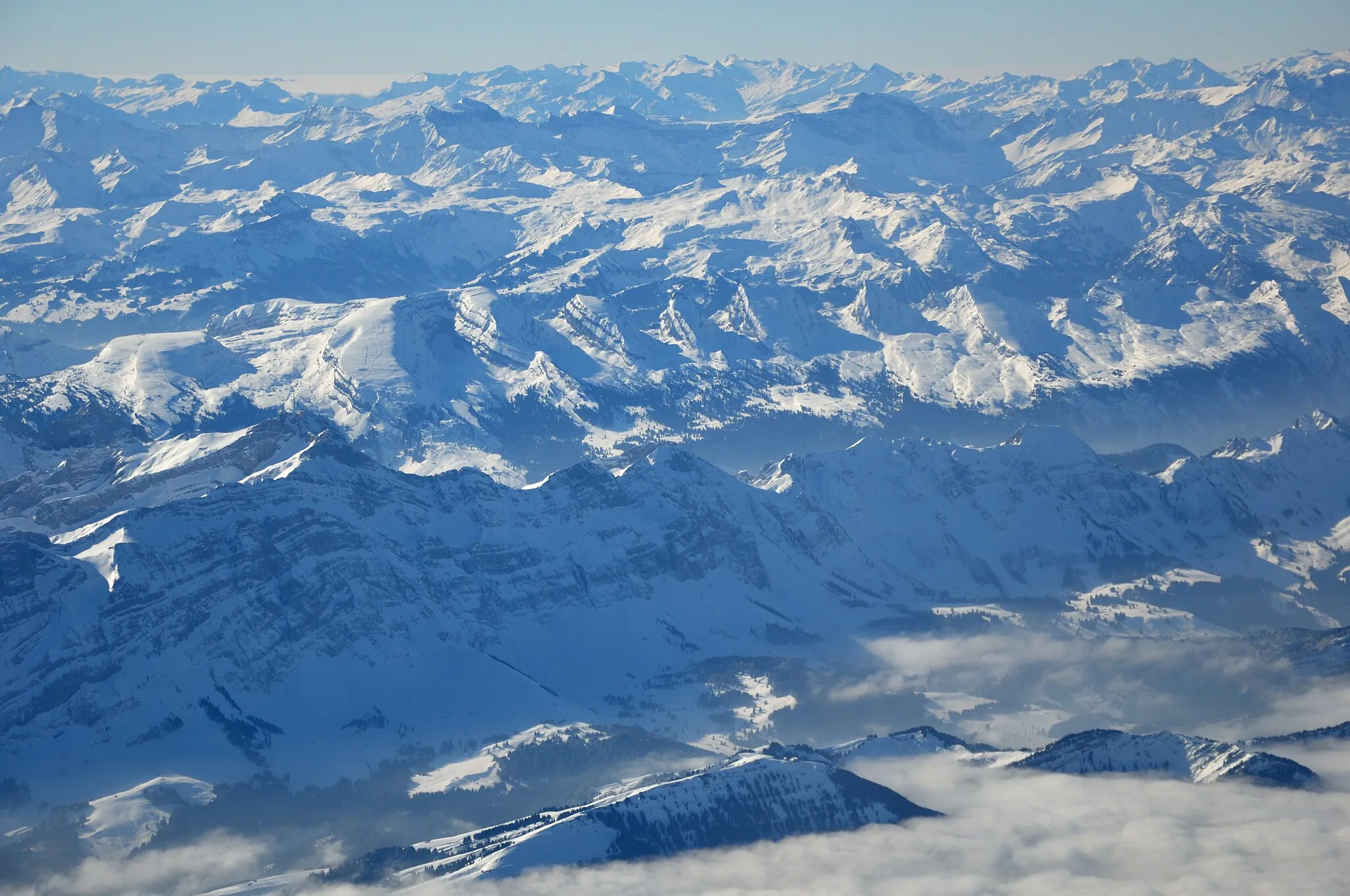
This gravel route takes you off the beaten path and into the heart of Vorarlberg's rugged countryside. With an ascent of 985 meters and a distance of 76 kilometers, this ride offers a thrilling and exhilarating experience for gravel enthusiasts. You will pass through picturesque villages, ride along scenic trails, and enjoy breathtaking views of the mountains. The route is suitable for gravel bikes and provides a mix of terrain, including dirt roads and gravel paths. Get ready to embrace the sense of adventure and explore the natural wonders of Vorarlberg.
gravel
76 km
985 m
Tough
Route profile
Highlights on the route
0 km
0 km
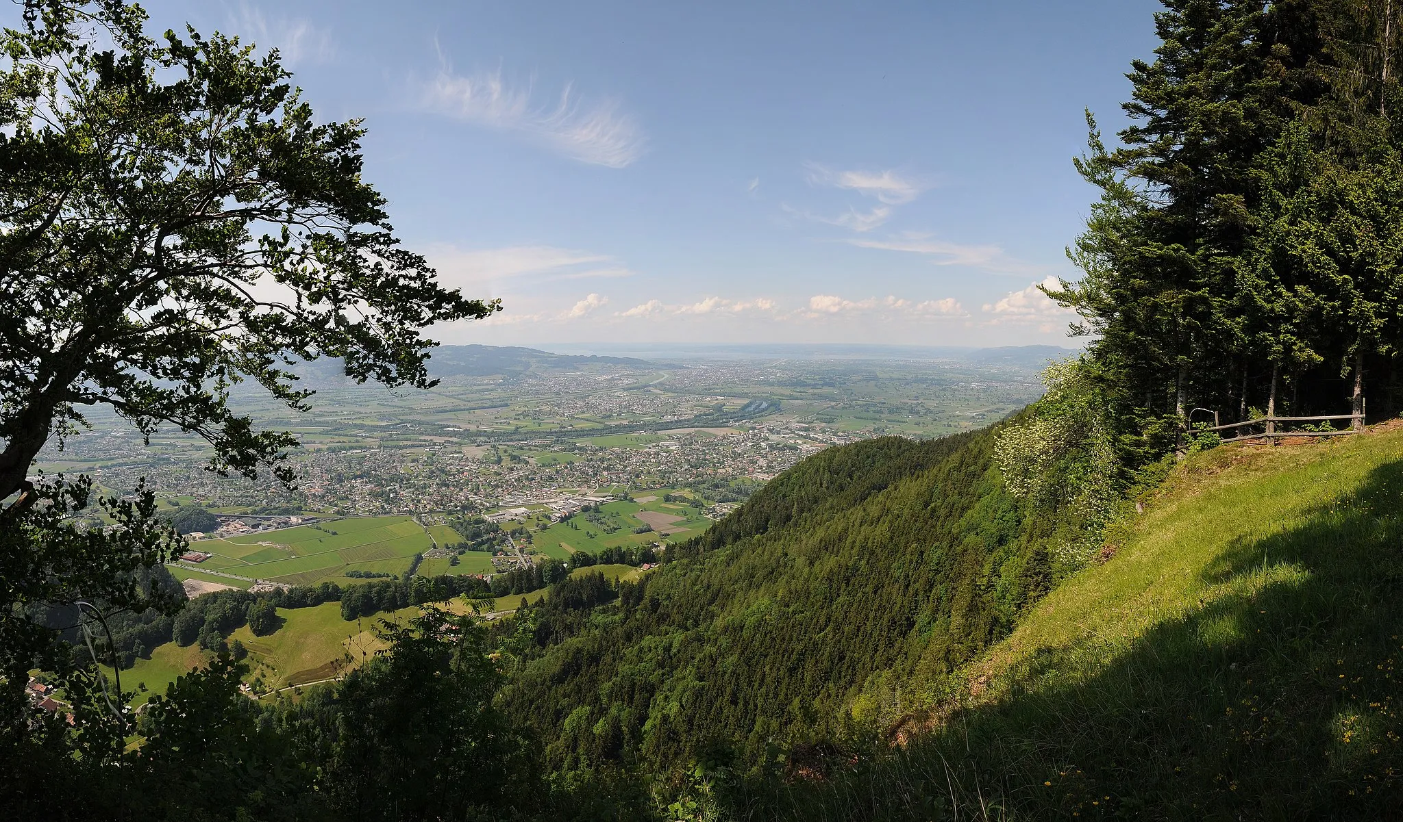
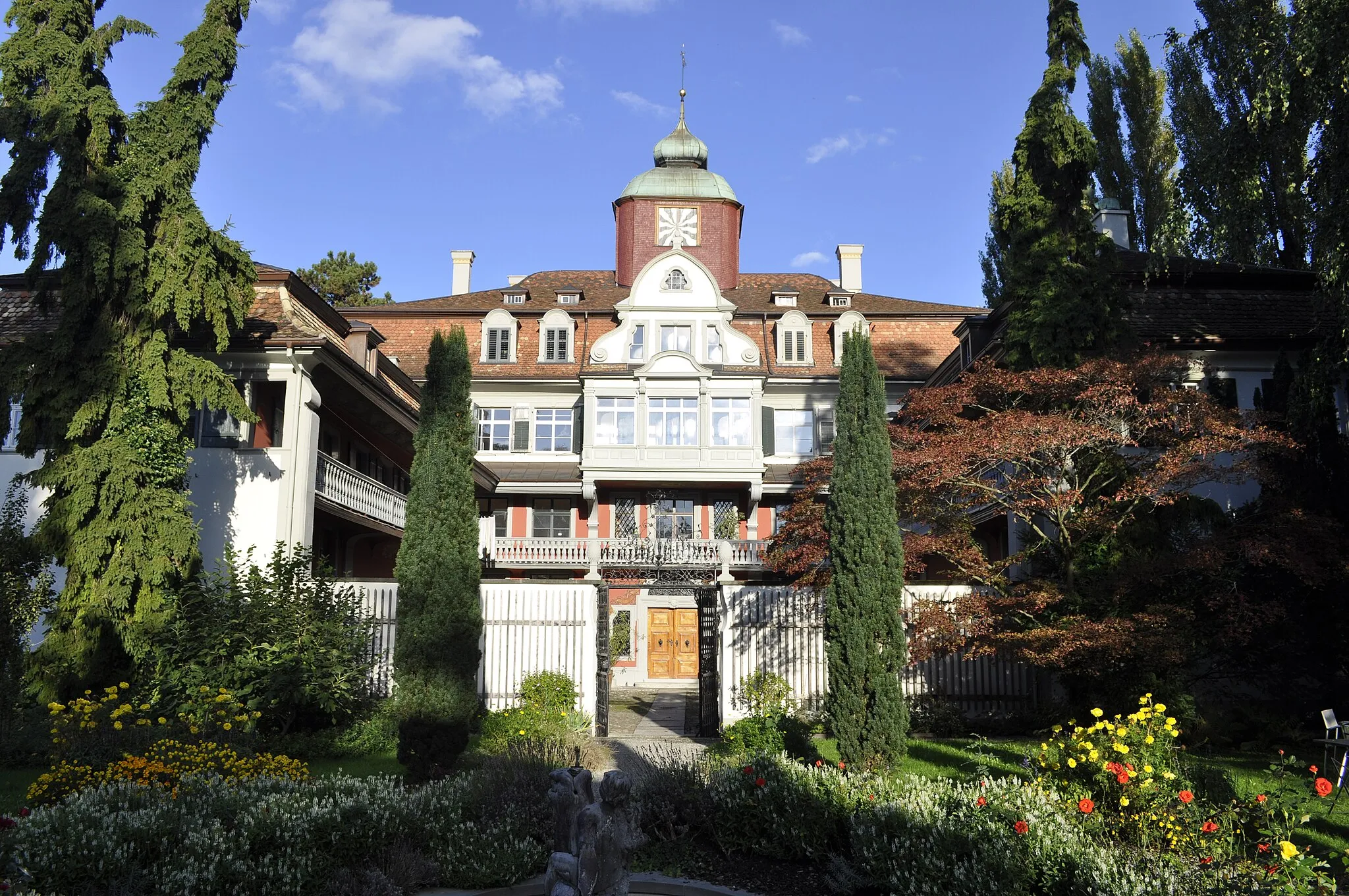
Start: Höchst Village centerHöchst: Stunning Landscapes and Challenging Climbs
Höchst, located in Vorarlberg, Austria, is a cyclist's paradise. The region offers a mix of challenging climbs and scenic cycling routes, making it suitable for both road and gravel cyclists. Cyclists can enjoy breathtaking views of the surrounding mountains and picturesque villages along their ride. The roads in Höchst are well-maintained and feature dedicated cycling paths, ensuring a safe and enjoyable cycling experience. Cyclists in Höchst can also visit nearby attractions such as the Bregenzerwald or the Lake Constance. The renowned Hirschberg climb is a must-visit for cycling enthusiasts. Höchst is a truly remarkable destination for cyclists seeking a combination of stunning landscapes and exhilarating rides.1 km
1 km
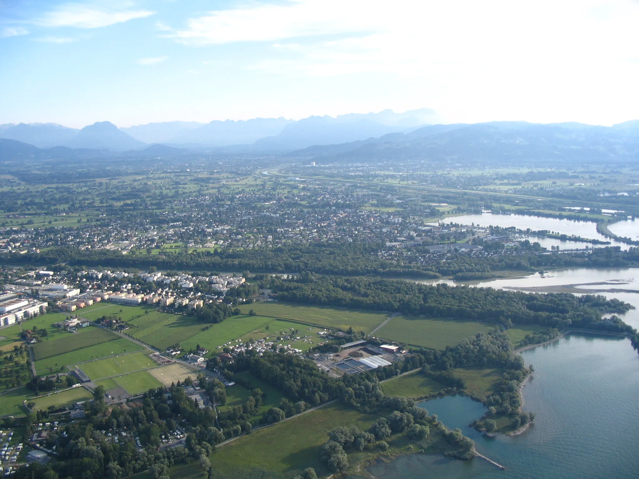
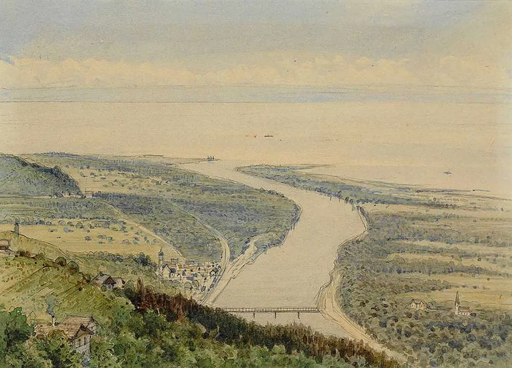
St. MargrethenVillageSt. Margrethen is the starting point of the route and offers beautiful views of Lake Constance. Enjoy the panoramic vistas before embarking on your gravel adventure.
8 km
8 km
RebhüttliViewpointRebhüttli is a tranquil cabin nestled in the mountains. Take a break here, enjoy the peaceful surroundings, and savor the magnificent views.
15 km
15 km
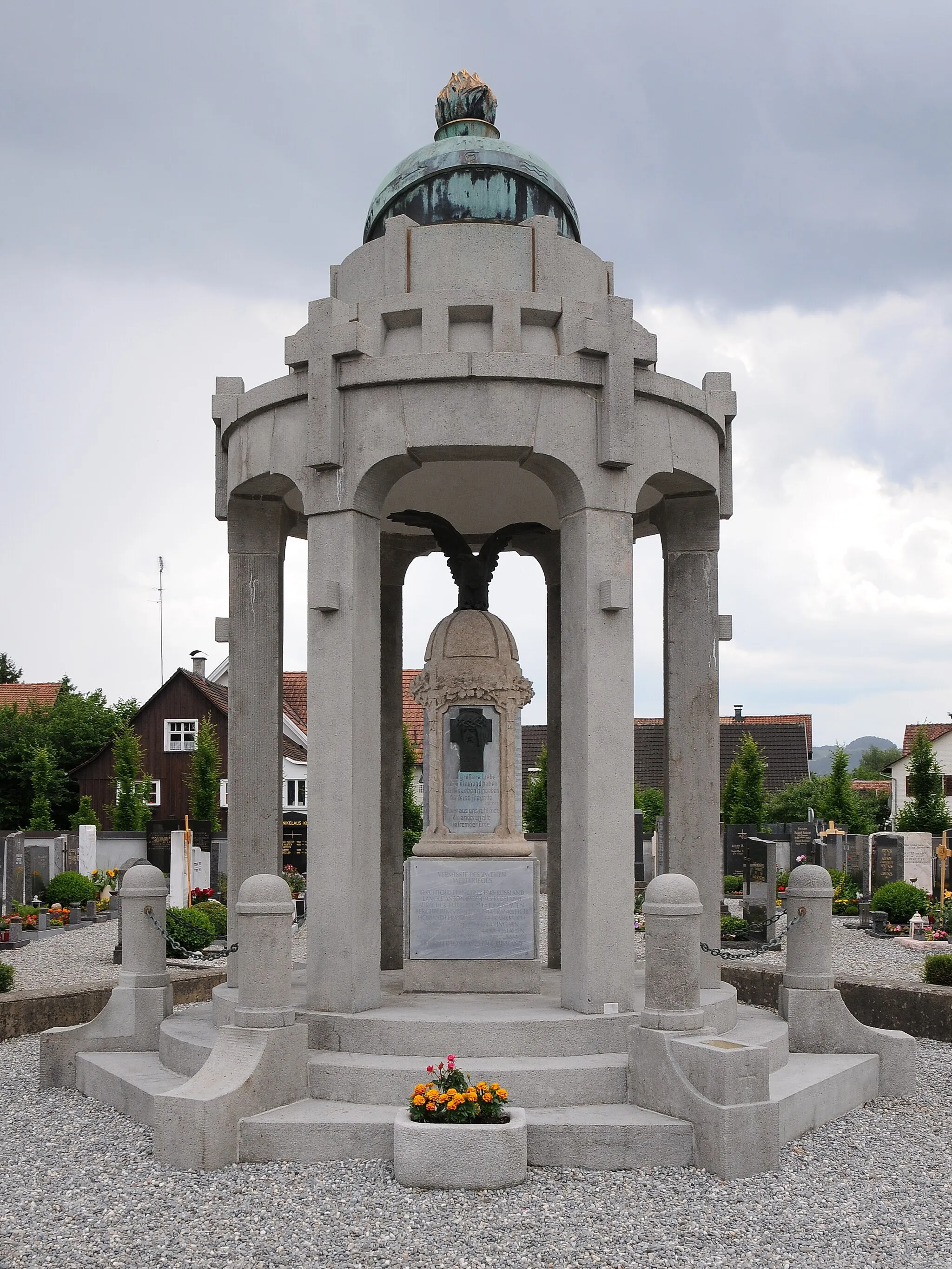
AltstättenTownAltstätten is a charming town known for its well-preserved historic center. Explore its narrow streets and visit the medieval castle.
25 km
25 km
Hoher Hirschberg1169 mPeakHoher Hirschberg is a scenic mountain with breathtaking views. Challenge yourself with the climb and be rewarded with panoramic vistas.
45 km
45 km
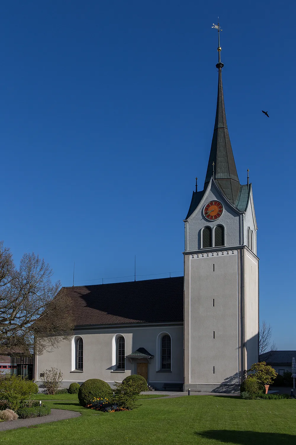
Egg965 mMountain PassEgg is a small village nestled in a picturesque valley. Ride through its charming streets and enjoy the peaceful countryside.
49 km
49 km
St. GallenTownSt. Gallen is a vibrant city with a rich cultural heritage. Visit its famous Abbey and marvel at the stunning Baroque architecture.
70 km
70 km
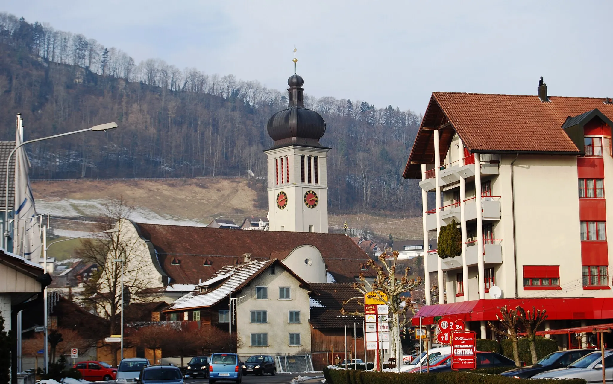
RheineckVillageRheineck is a charming village located on the banks of the Rhine River. Explore its historic center and enjoy the tranquility of the river.
76 km
76 km
Finish: Höchst Village centerHöchst: Stunning Landscapes and Challenging Climbs
Cycling routes from Hoechst:
Cycling routes nearby: