Mountainous Splendor
A road cycling route starting from Sulz
Embark on a challenging journey through the stunning mountainous landscapes near Sulz.
Map
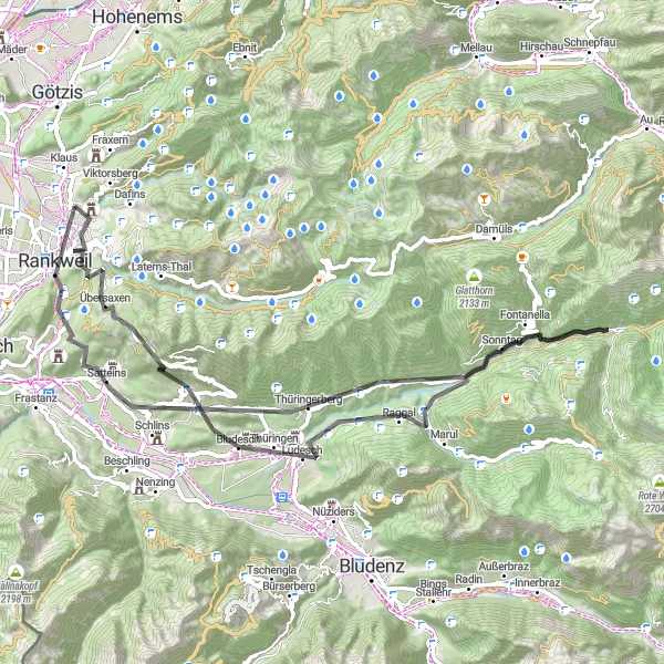
This road cycling route covers 74 km of mountainous terrain, offering a challenging adventure for experienced riders. With an ascent of 2268 meters, the route traverses remote areas and offers breathtaking views of the surrounding nature. Prepare for a thrilling ride through idyllic Alpine villages and enjoy the serenity of the unspoiled landscapes.
road
74 km
2268 m
Savage
Route profile
Highlights on the route
0 km
0 km
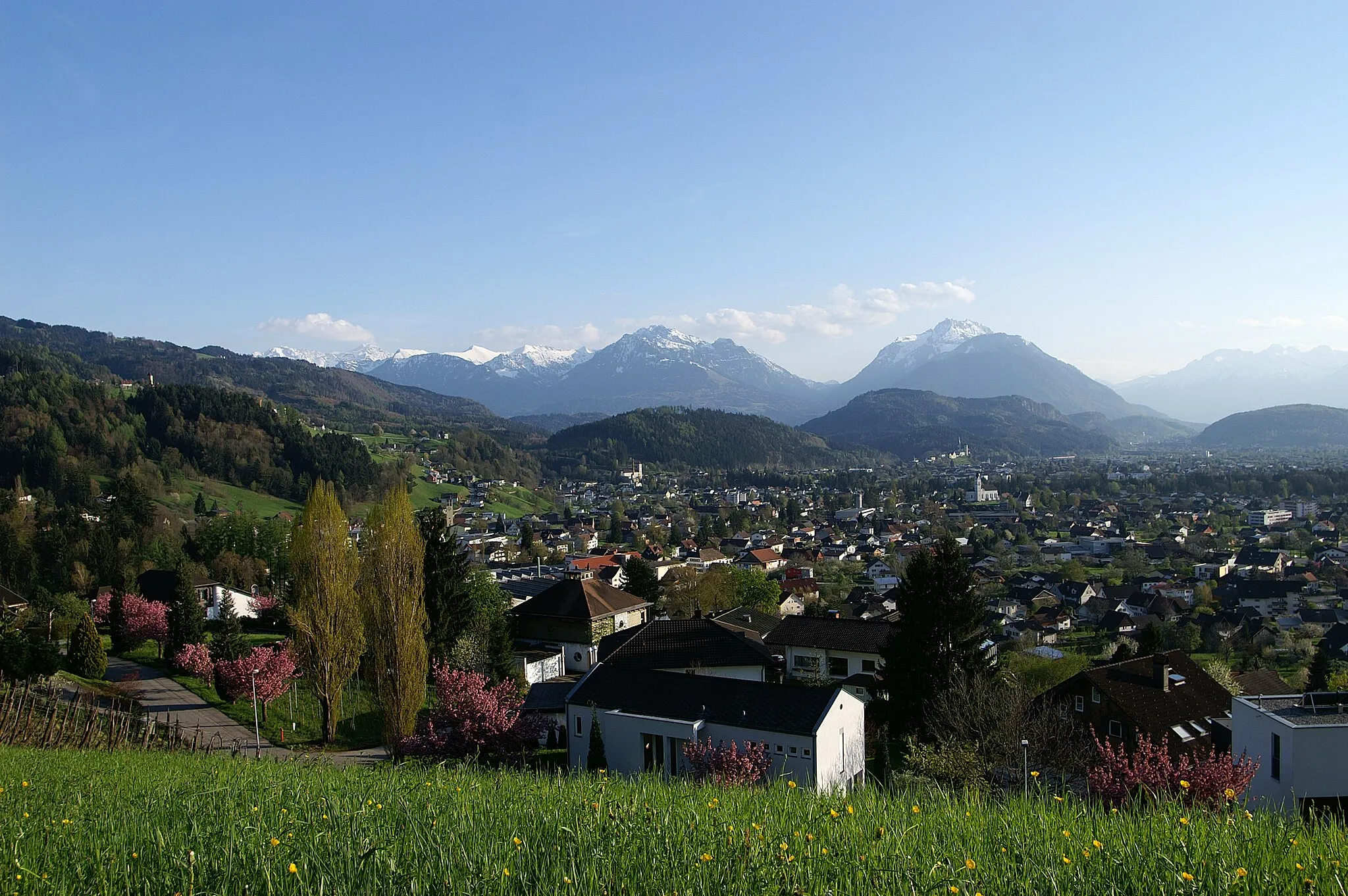
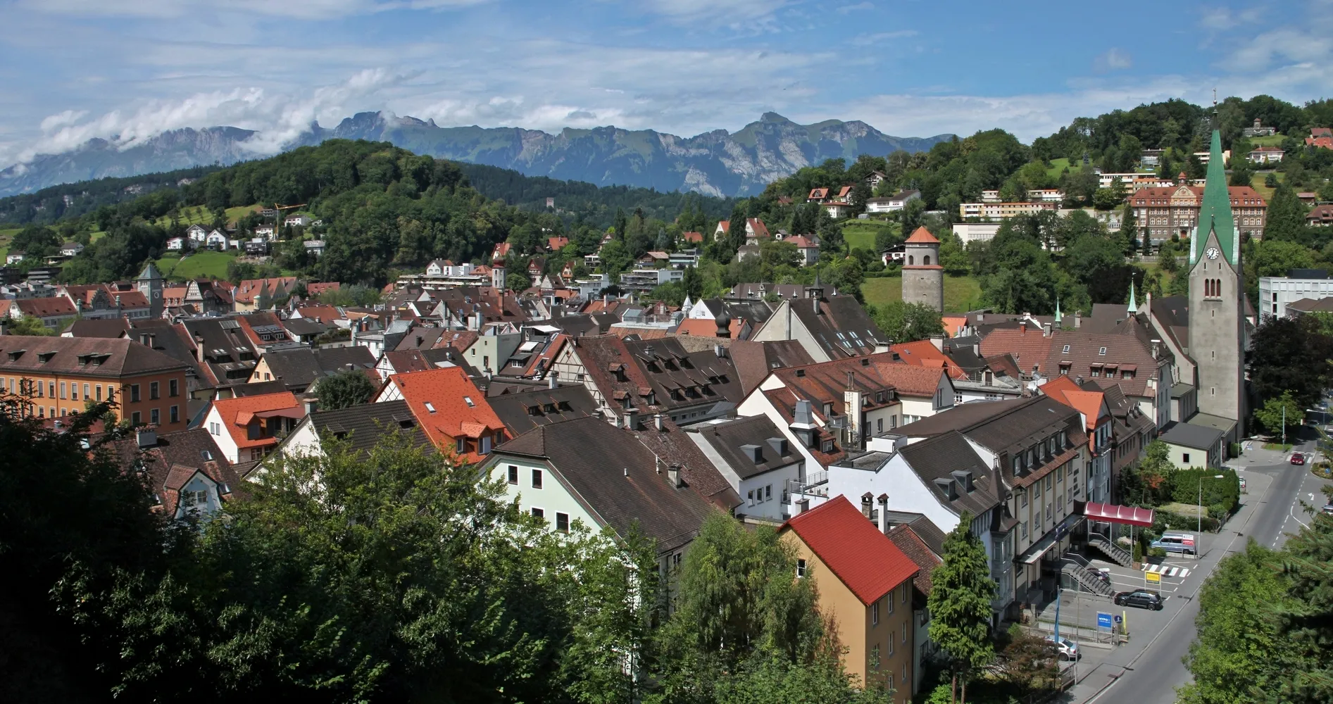
Start: Röthis Village centerSulz: Conquering famous alpine climbs in Sulz, Vorarlberg.
Sulz is a village situated in the Vorarlberg region of Austria. It is surrounded by stunning mountain landscapes and offers a range of road and gravel cycling opportunities. The roads in the area are well-maintained and there are several famous climbs nearby, including the Hochtannberg Pass and the Flexen Pass. These climbs provide challenging and rewarding rides with breathtaking views. Additionally, Sulz is a popular destination for mountain bikers, with numerous trails and bike parks in the region. Whether you prefer road cycling or mountain biking, Sulz is a great choice for a cycling adventure.5 km
5 km
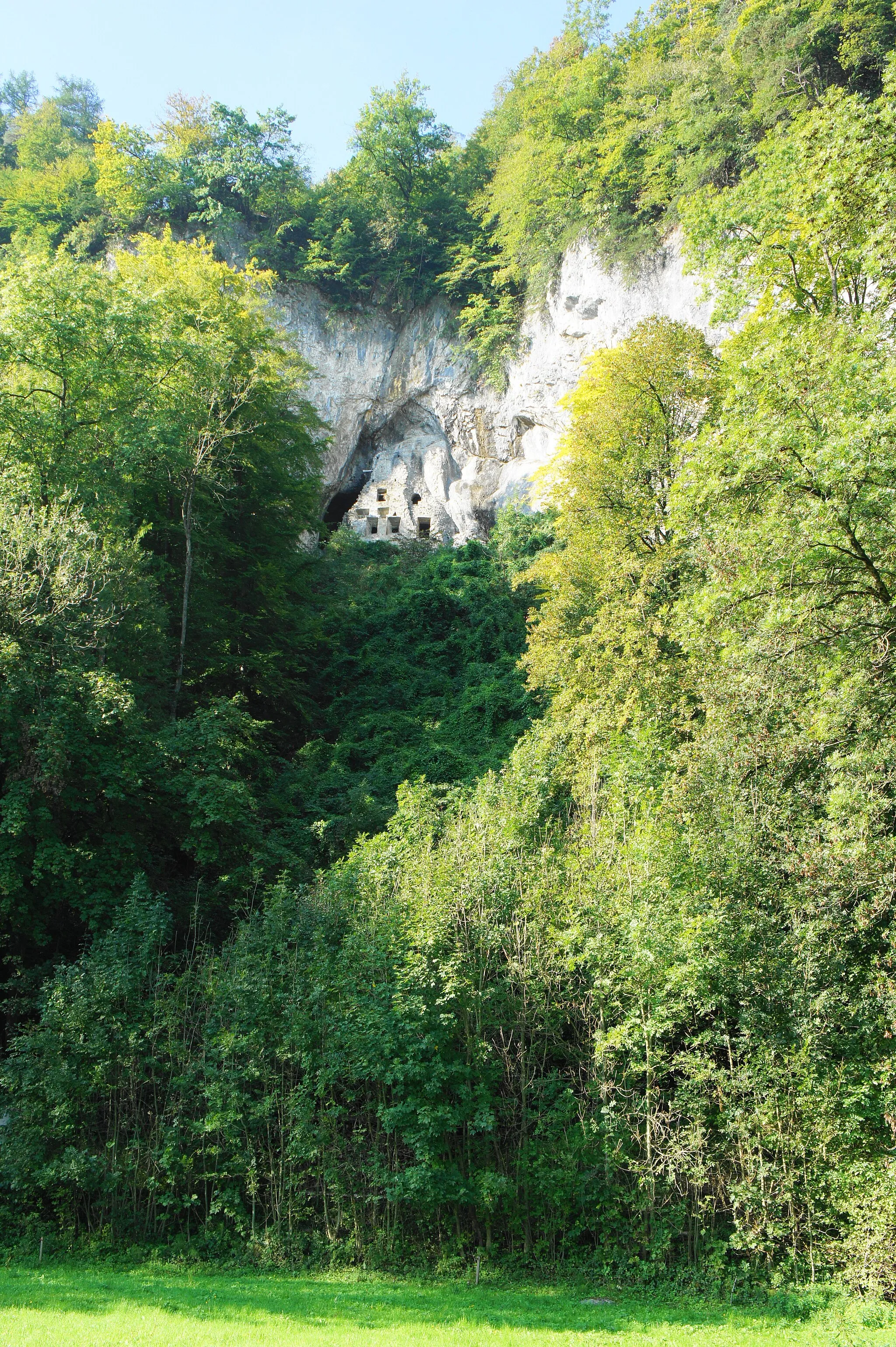
Frutzkopf723 mPeakFrutzkopf is a magnificent peak known for its panoramic views of the surrounding Alpine landscapes.
16 km
16 km
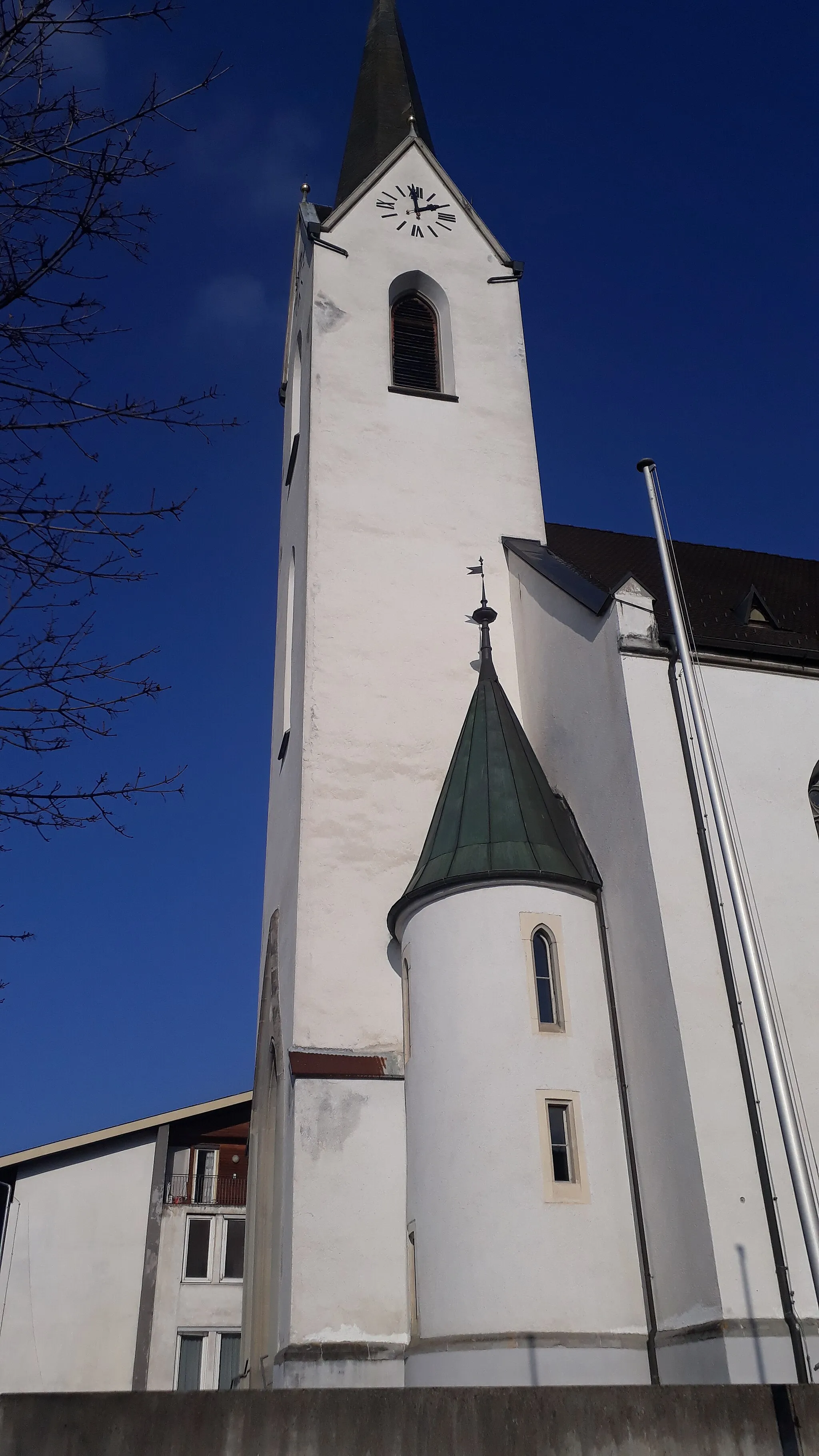
SchnifisVillageSchnifis is a charming village nestled in the heart of the mountains, offering a peaceful and idyllic atmosphere.
25 km
25 km
BlonsVillageBlons is a picturesque Alpine village with traditional wooden houses and stunning mountain views.
36 km
36 km
Postelkopf1381 mPeakPostelkopf is a scenic peak that offers sweeping views of the remote mountainous areas.
57 km
57 km
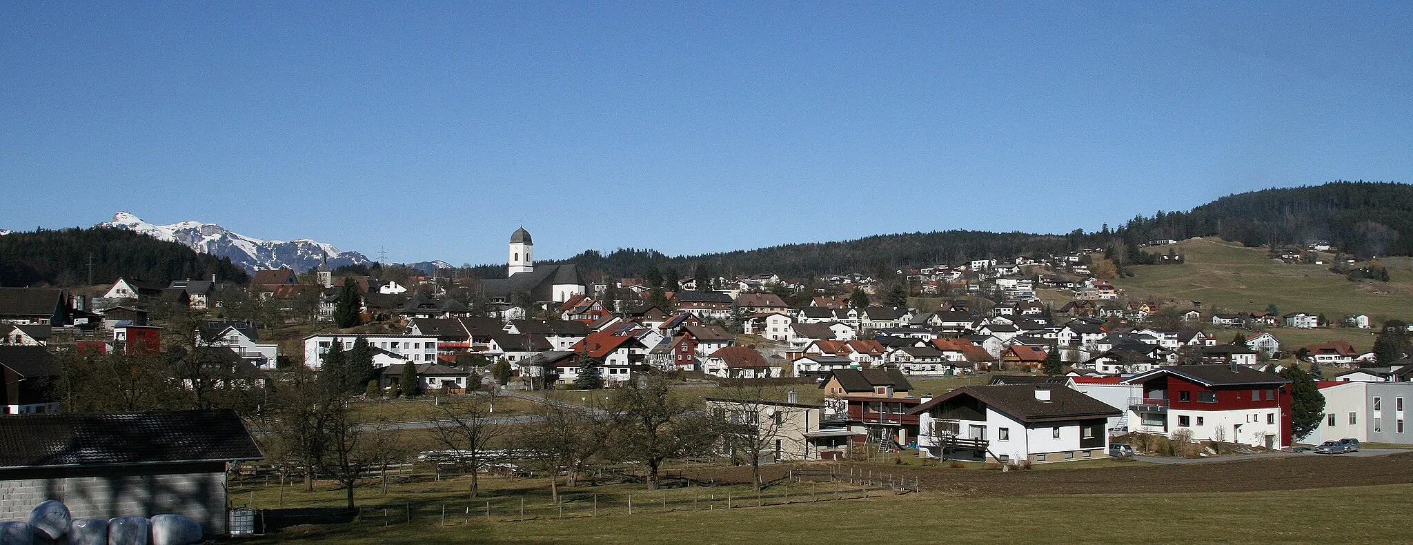
BludeschVillageBludesch is a charming village surrounded by green meadows and majestic peaks.
64 km
64 km
SatteinsVillageSatteins is a small alpine village with traditional Swiss architecture and incredible natural beauty.
73 km
73 km
Sulnerberg499 mPeakSulnerberg is a captivating hill providing picturesque views of the surrounding valleys and mountains.
74 km
74 km
Finish: Röthis Village centerSulz: Conquering famous alpine climbs in Sulz, Vorarlberg.
Cycling routes nearby: