The Eastern Adventure
A road cycling route starting from Sulz
Embark on an exhilarating journey through diverse landscapes and iconic landmarks.
Map
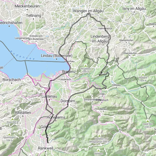
This route takes you on a captivating journey through the scenic beauty of Vorarlberg and neighboring regions. Starting near Sulz in Vorarlberg, Austria, this round-trip adventure covers a total distance of 136 km and has a challenging total ascent of 1815 meters. From picturesque towns to panoramic viewpoints, this route offers a mix of cultural and natural highlights.
road
136 km
1815 m
Tough
Route profile
Highlights on the route
0 km
0 km
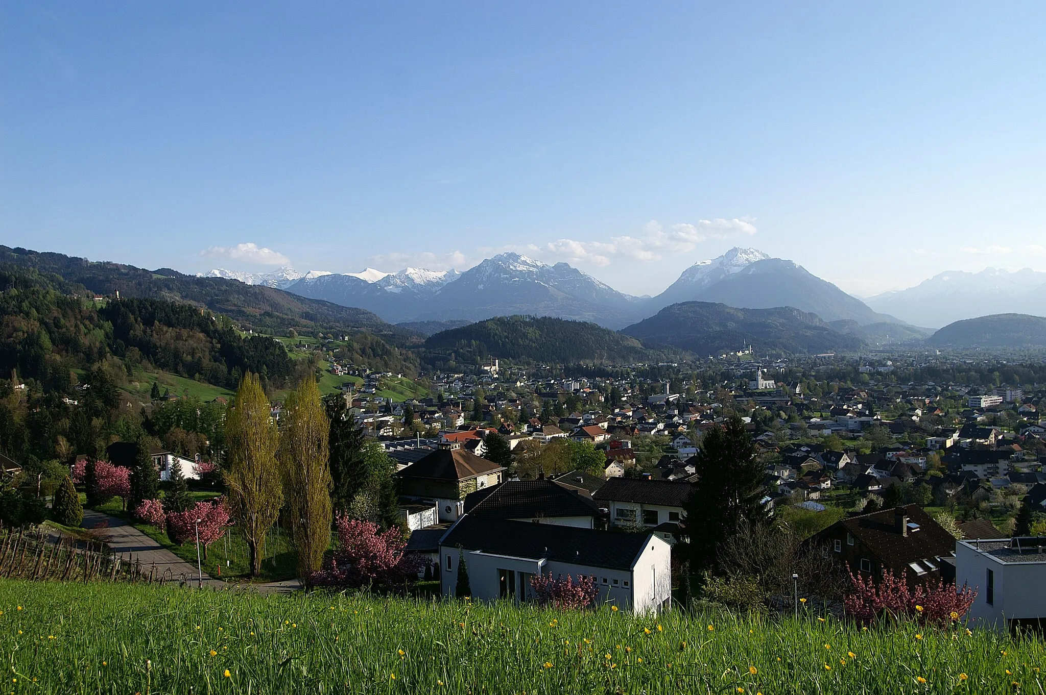
Start: Sulz Village centerSulz: Conquering famous alpine climbs in Sulz, Vorarlberg.
Sulz is a village situated in the Vorarlberg region of Austria. It is surrounded by stunning mountain landscapes and offers a range of road and gravel cycling opportunities. The roads in the area are well-maintained and there are several famous climbs nearby, including the Hochtannberg Pass and the Flexen Pass. These climbs provide challenging and rewarding rides with breathtaking views. Additionally, Sulz is a popular destination for mountain bikers, with numerous trails and bike parks in the region. Whether you prefer road cycling or mountain biking, Sulz is a great choice for a cycling adventure.5 km
5 km
Therenberg565 mPeakTherenberg is a historic village nestled in the lush green hills.
8 km
8 km
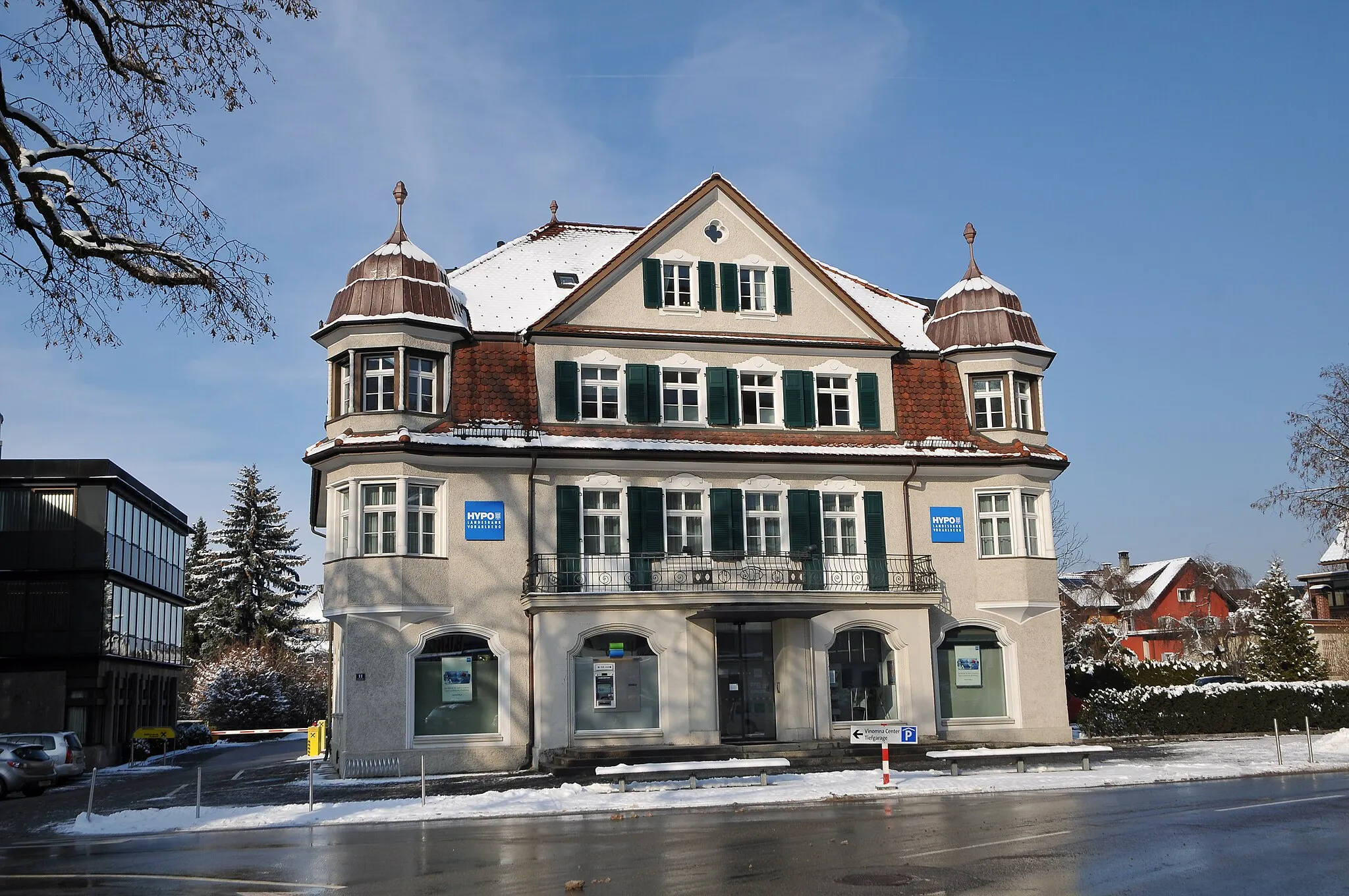
AltachVillageAltach is a charming town with beautifully preserved traditional buildings.
31 km
31 km
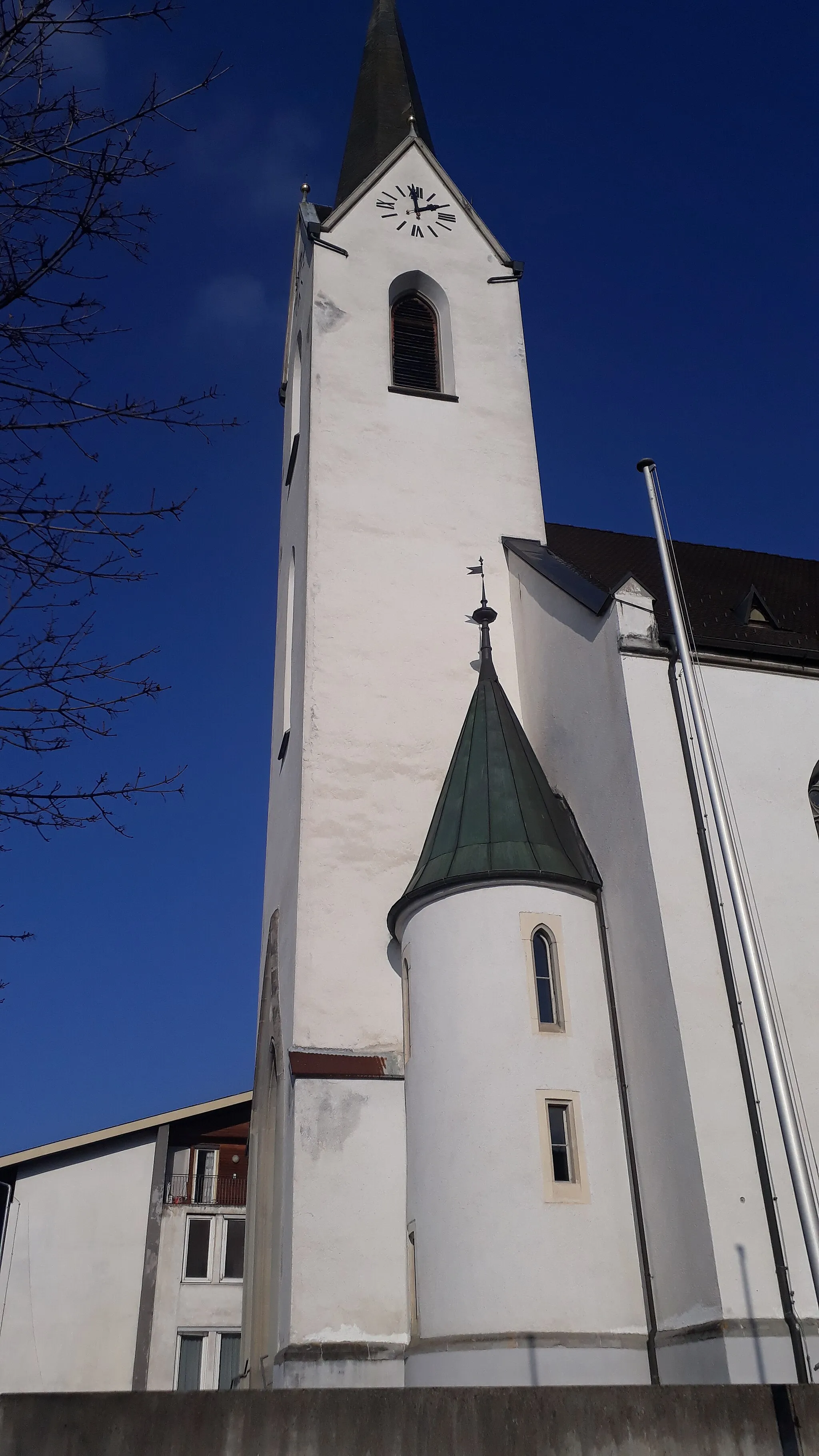
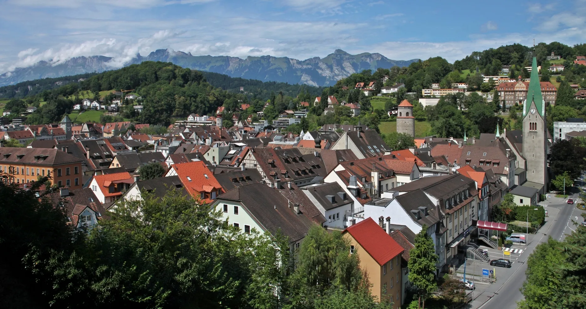
BregenzTownBregenz is the cultural center of the region, known for its renowned arts festivals.
43 km
43 km
Weißensberger HaldeViewpointWeissensberger Halde offers stunning panoramic views of the surrounding countryside.
43 km
43 km
WeißensbergVillageWeissensberg is a picturesque town with a charming old town and beautiful gardens.
59 km
59 km
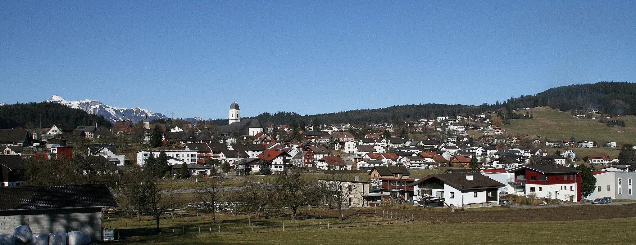
Wangen im AllgäuTownWangen im Allgäu is a historic town with well-preserved medieval buildings.
74 km
74 km
Weiler-SimmerbergVillageWeiler-Simmerberg is a quaint village with traditional Bavarian flair.
82 km
82 km
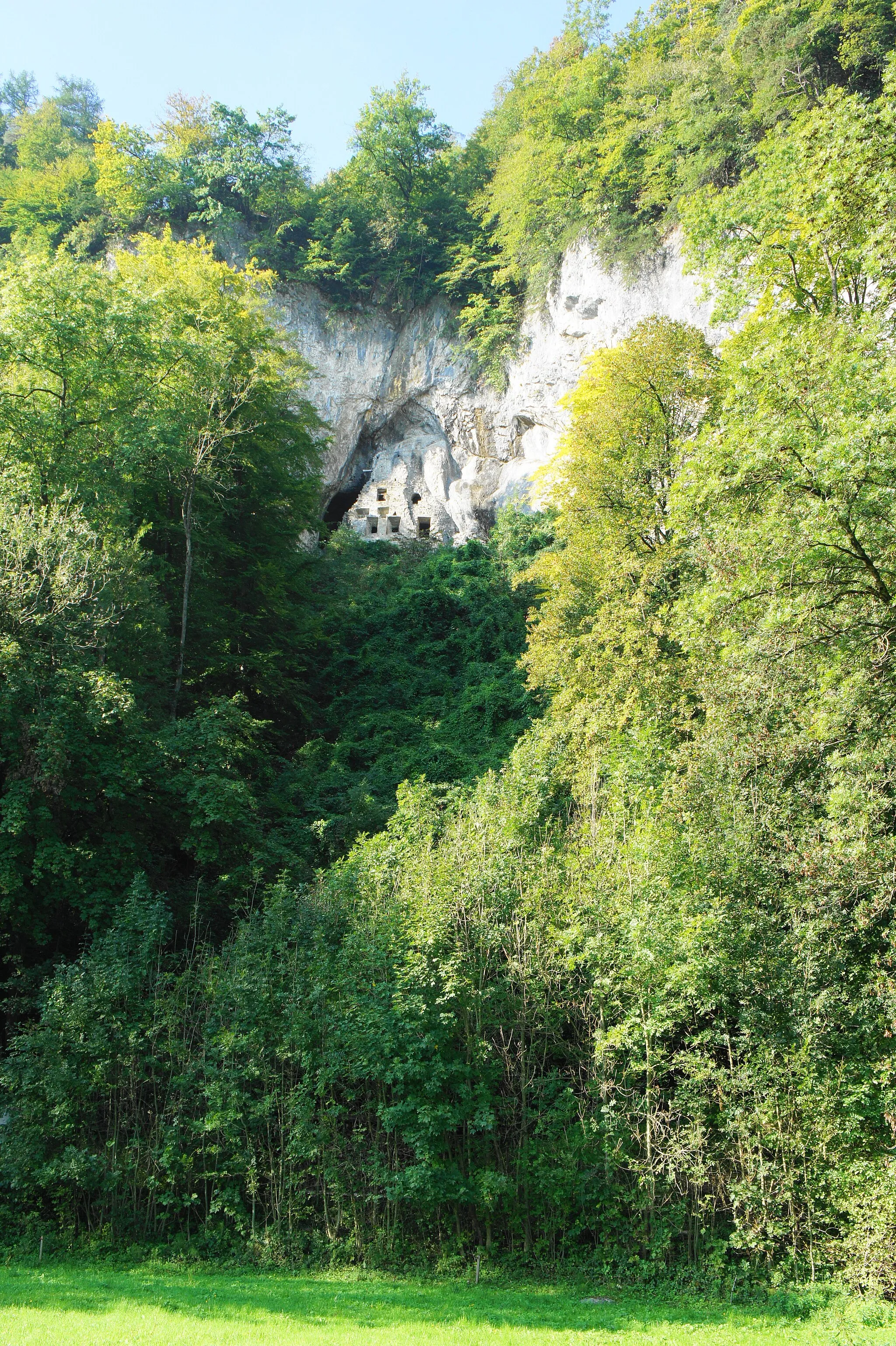
Galgenholz1030 mPeakGalgenholz is a scenic forest popular for hiking and mountain biking.
100 km
100 km
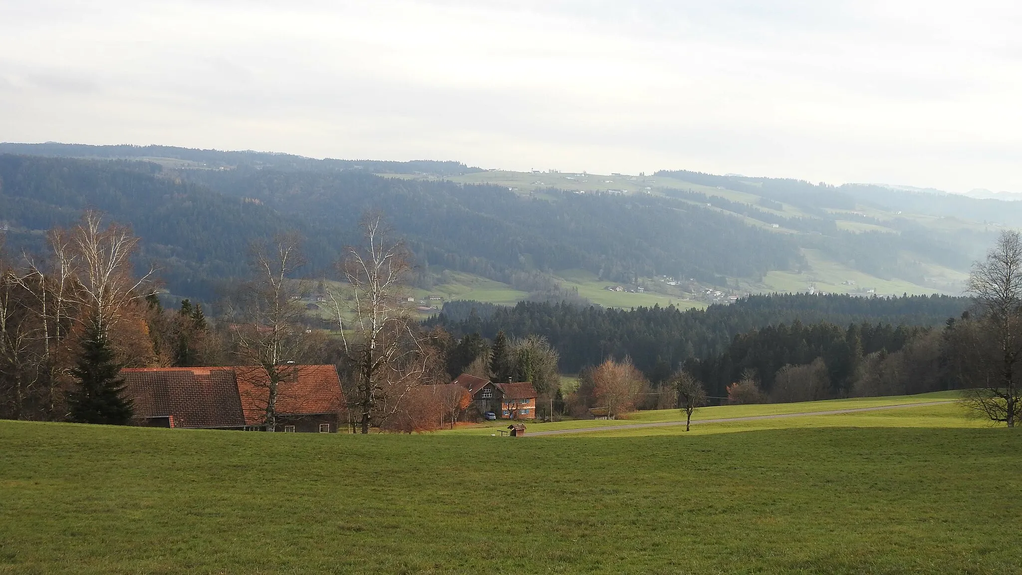
LingenauVillageLingenau is a charming village known for its beautiful rural landscapes.
106 km
106 km
300-70Viewpoint300-70 offers breathtaking views of the surrounding mountains and valleys.
117 km
117 km
DornbirnTownDornbirn is an ideal spot to take a break and explore the charming old town.
128 km
128 km
SoeleViewpointSoele is a tranquil village surrounded by lush green meadows and forests.
136 km
136 km
RöthisVillageRöthis is a small village with a rich history and stunning views of the Alps.
136 km
136 km
GantaViewpointGanta is a peaceful village known for its traditional Swiss architecture.
136 km
136 km
Finish: Sulz Village centerSulz: Conquering famous alpine climbs in Sulz, Vorarlberg.
Cycling routes nearby: