The Northern Route
A road cycling route starting from Sulz
Embark on an epic adventure through picturesque landscapes and historic towns.
Map
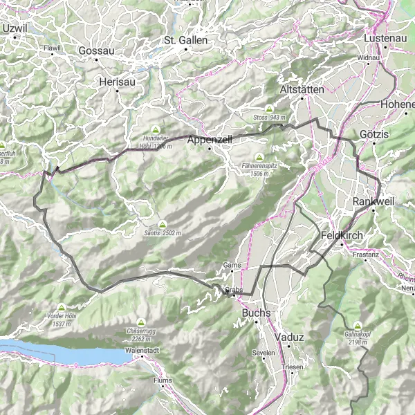
This challenging route is perfect for cycling enthusiasts who crave both physical exertion and cultural exploration. The round-trip journey, starting near Sulz in Vorarlberg, Austria, covers 108 km and includes a total ascent of 1906 meters. With its mix of steep climbs and scenic vistas, this route promises a truly unforgettable experience.
road
108 km
1906 m
Savage
Route profile
Highlights on the route
0 km
0 km
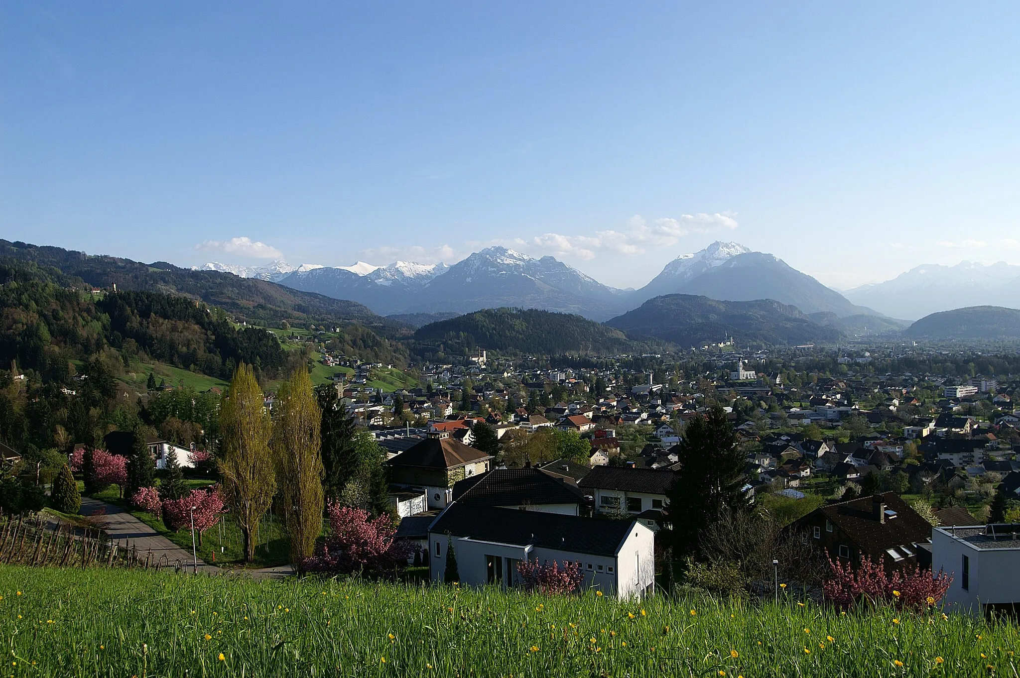
Start: Sulz Village centerSulz: Conquering famous alpine climbs in Sulz, Vorarlberg.
Sulz is a village situated in the Vorarlberg region of Austria. It is surrounded by stunning mountain landscapes and offers a range of road and gravel cycling opportunities. The roads in the area are well-maintained and there are several famous climbs nearby, including the Hochtannberg Pass and the Flexen Pass. These climbs provide challenging and rewarding rides with breathtaking views. Additionally, Sulz is a popular destination for mountain bikers, with numerous trails and bike parks in the region. Whether you prefer road cycling or mountain biking, Sulz is a great choice for a cycling adventure.6 km
6 km
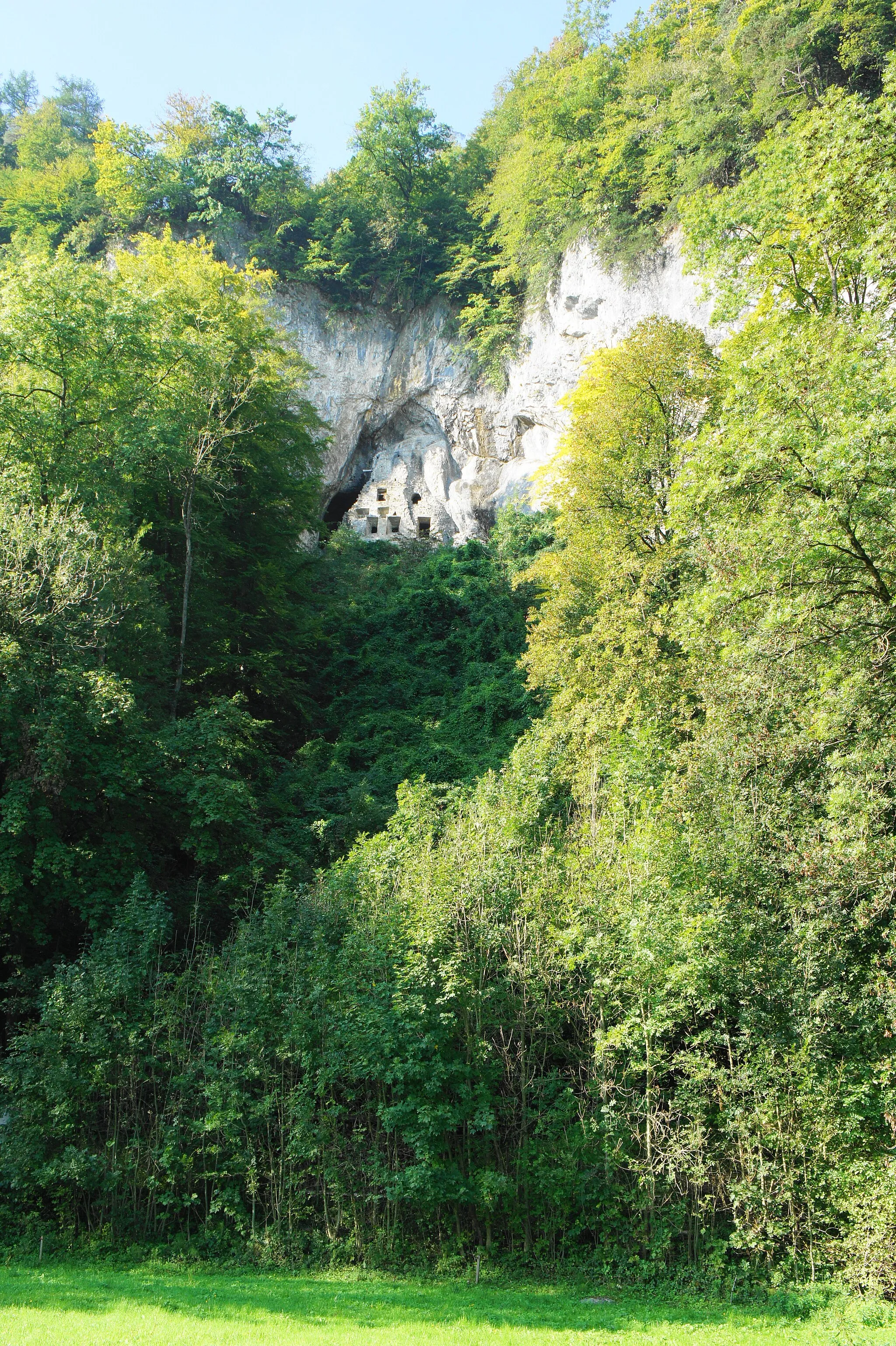
Ardetzenberg631 mPeakEnjoy the breathtaking views from Ardetzenberg, a popular spot for photographers.
7 km
7 km
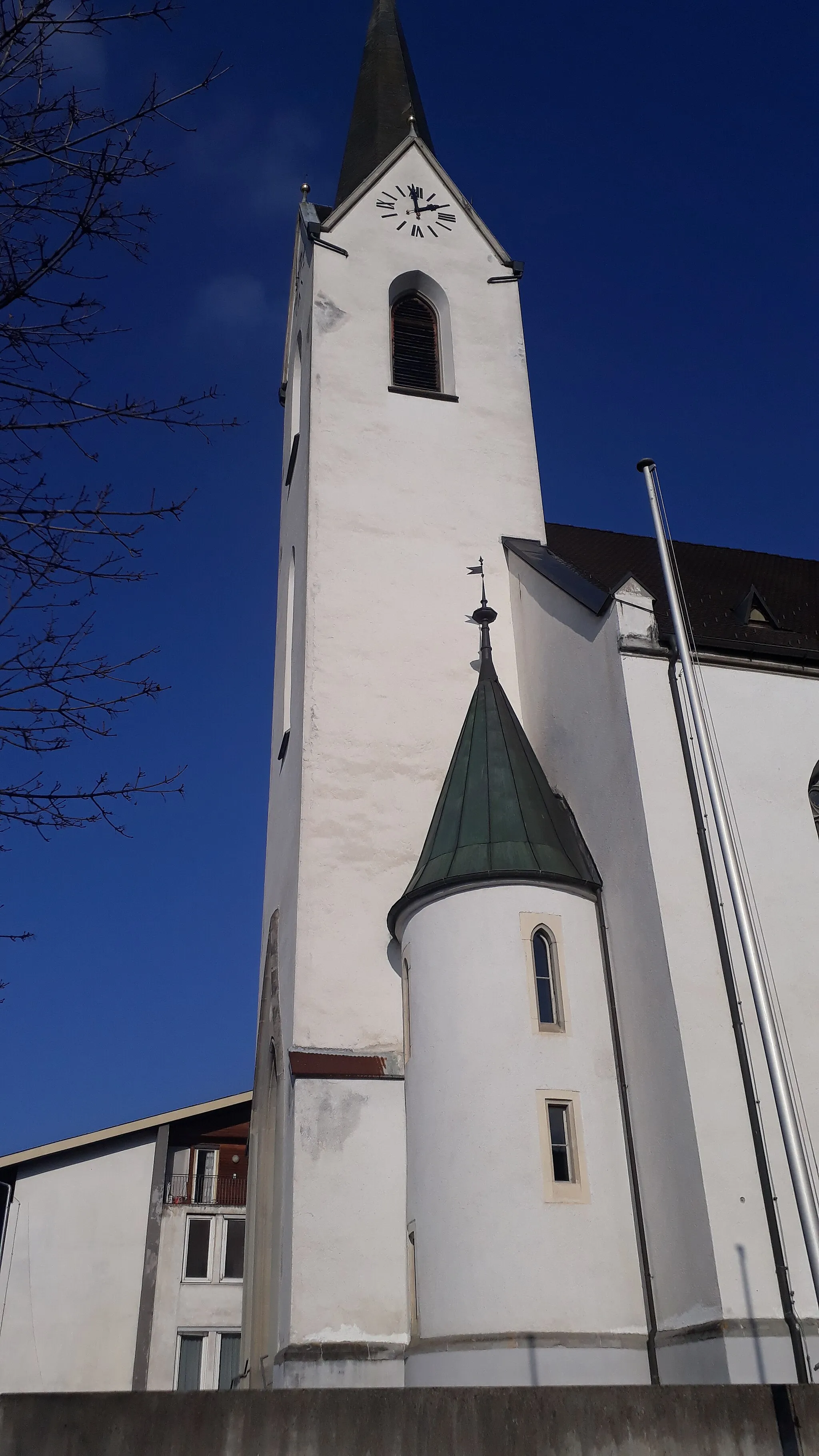
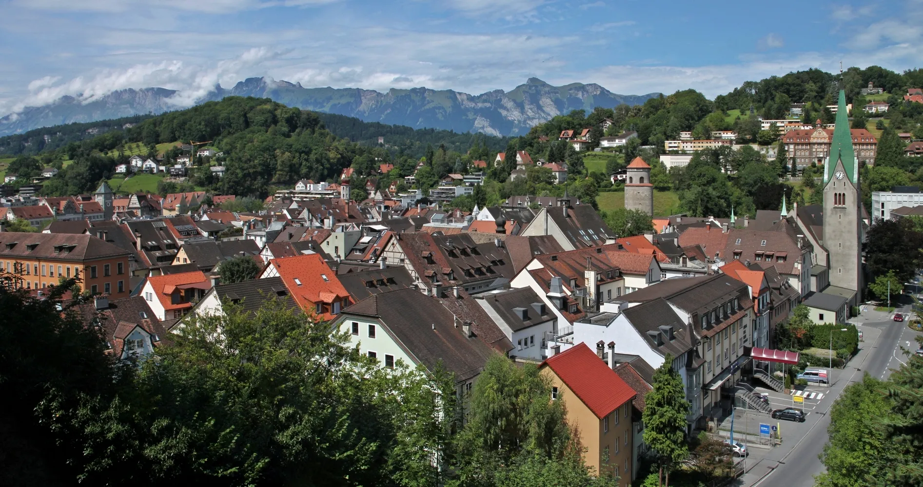
FeldkirchTownFeldkirch is a charming town with a well-preserved medieval old town.
16 km
16 km
GamprinVillageThe village of Gamprin is known for its idyllic vineyards.
23 km
23 km
GrabsVillageGrabs boasts a magnificent castle that can be visited.
34 km
34 km
Foto-Spot die sieben ChurfirstenViewpointCapture the beauty of the seven Churfirsten mountains from this stunning photo spot.
45 km
45 km
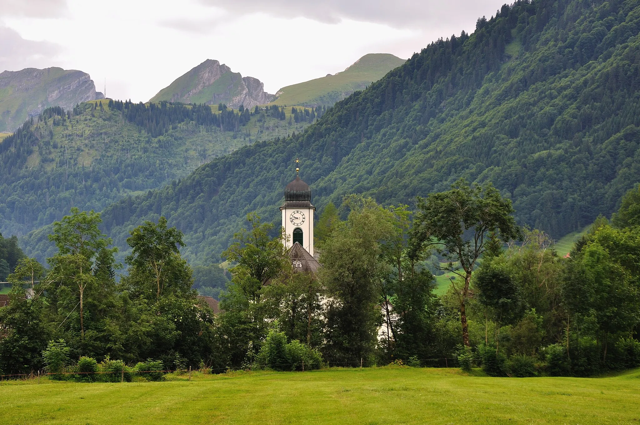
Stein SGVillageStein SG offers panoramic views of Lake Constance.
59 km
59 km
EggliViewpointEggli is a quaint village surrounded by rolling green meadows.
68 km
68 km
Hochhamm1274 mPeakHochhamm is a popular viewpoint with breathtaking views.
82 km
82 km
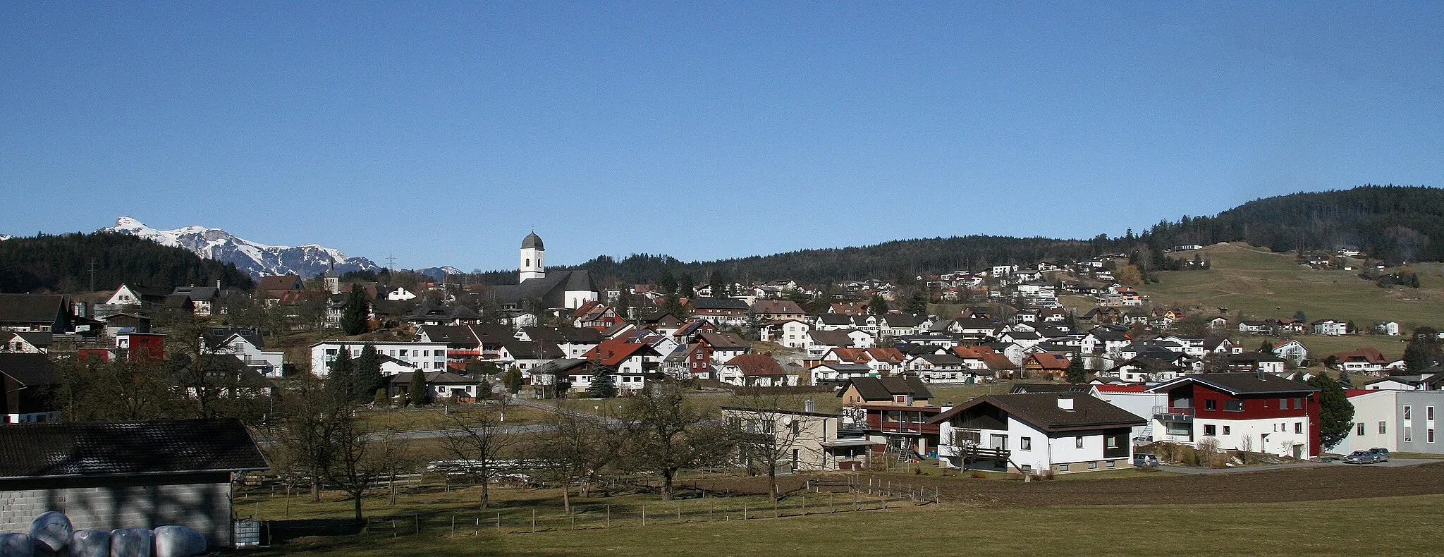
AppenzellTownExplore the charming town of Appenzell, known for its traditional Swiss architecture.
92 km
92 km
EichbergVillageEichberg is a picturesque village nestled in the hills.
101 km
101 km
Kummenberg667 mPeak ViewpointKummenberg is a scenic hill offering panoramic views.
108 km
108 km
Finish: Sulz Village centerSulz: Conquering famous alpine climbs in Sulz, Vorarlberg.
Cycling routes nearby: