Ensisheim Loop
A gravel cycling route starting from Bollwiller
An adventurous gravel journey through the diverse landscapes of Alsace
Map
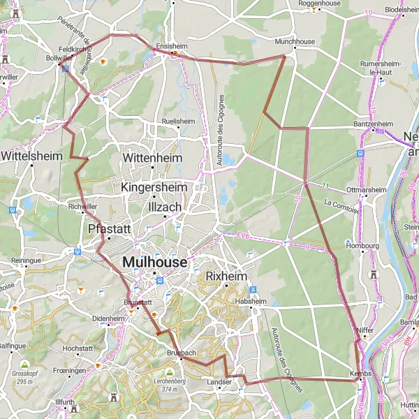
Embark on a 77 km gravel adventure starting near Bollwiller with a total ascent of 293 meters. The Ensisheim Loop takes you through beautiful countryside, historical towns, and natural landmarks. Suitable for intermediate cyclists, this route offers a mix of flat sections and gentle climbs, providing a satisfying challenge without being overly difficult. Experience the diverse scenery and immerse yourself in the rich cultural heritage of Alsace.
gravel
77 km
293 m
Chill
Route profile
Highlights on the route
0 km
0 km
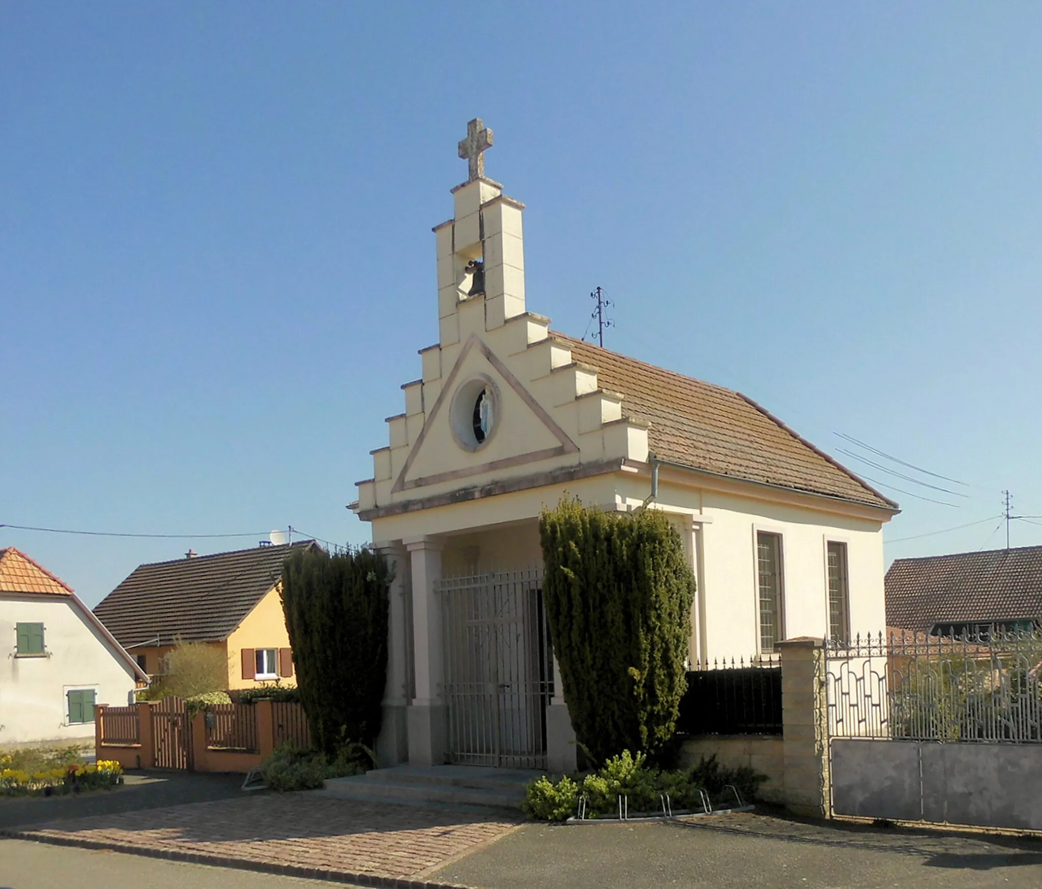
Start: Bollwiller Village centerBollwiller: Leisure cycling through beautiful Alsace countryside.
Bollwiller is a town located in the Alsace region of France. From a cyclist's perspective, the area offers moderate appeal for road and gravel cycling. While there are no famous cycling locations nearby, the town benefits from scenic countryside roads that are well-suited for leisurely rides. Bollwiller does not have a prominent cycling infrastructure, but it can be a pleasant stop for cyclists exploring the Alsace region. Overall, it ranks moderately on the cyclist-friendly scale.7 km
7 km
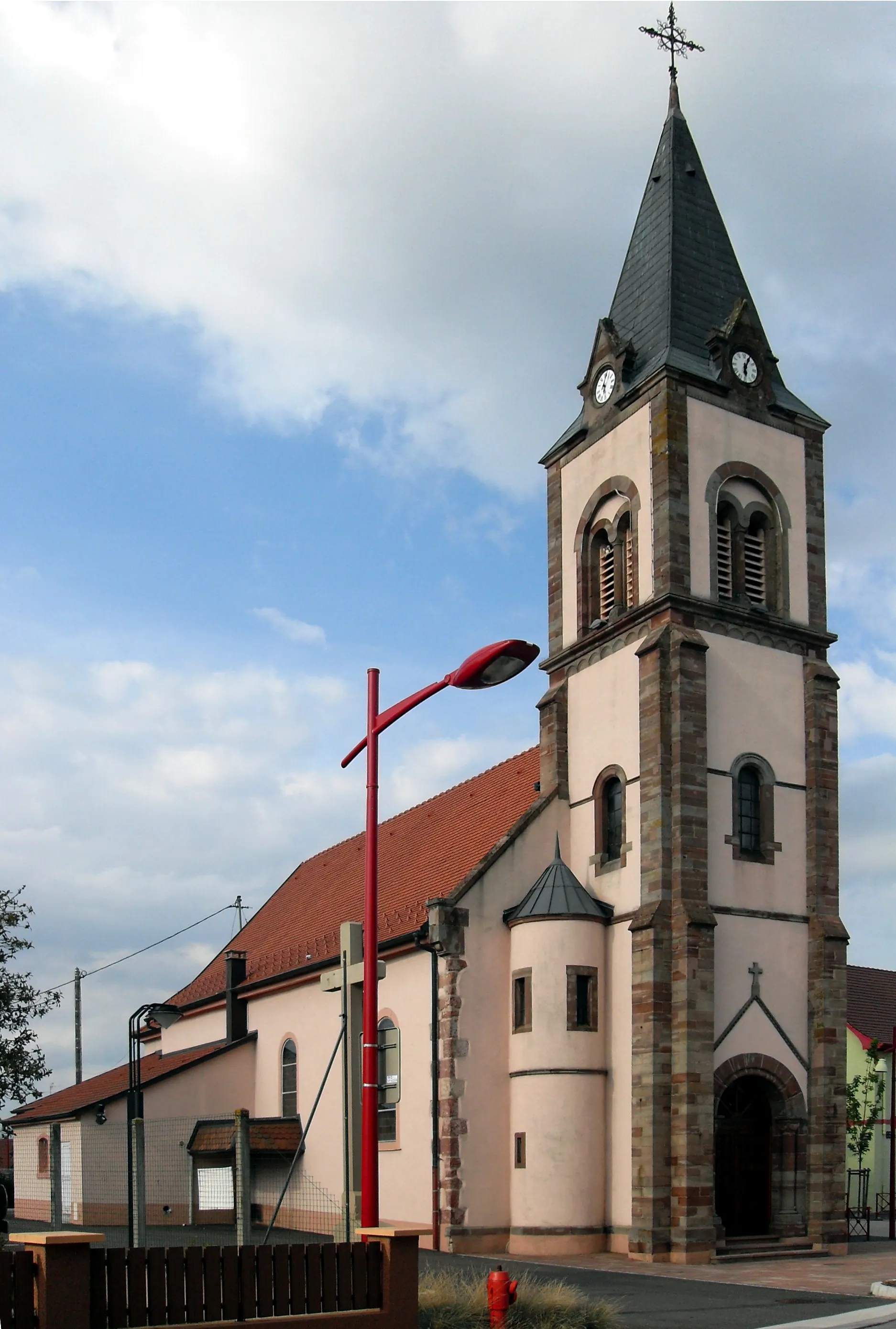
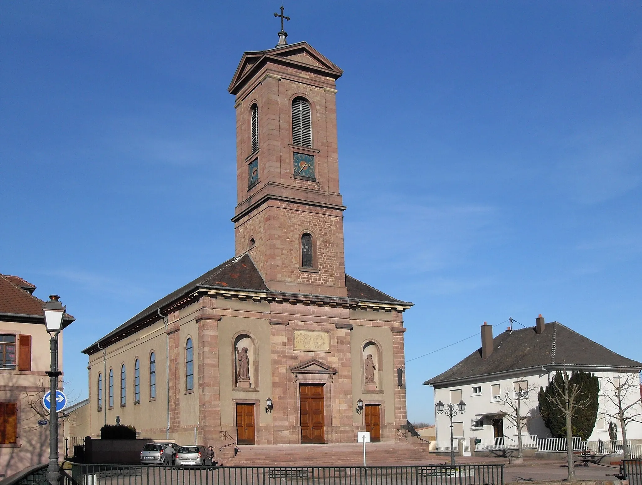
EnsisheimVillageEnsisheim, located at the 7 km mark, is known for its astronomical clock and historic buildings.
15 km
15 km
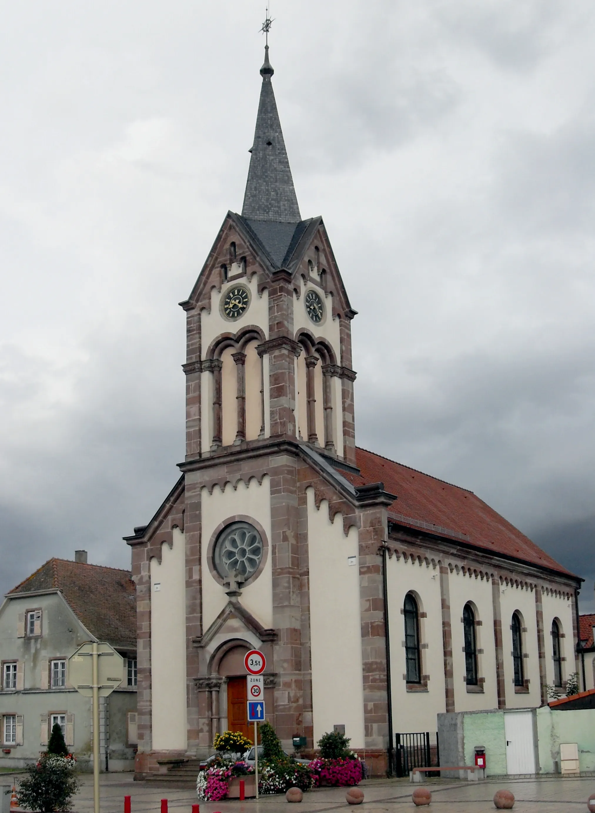
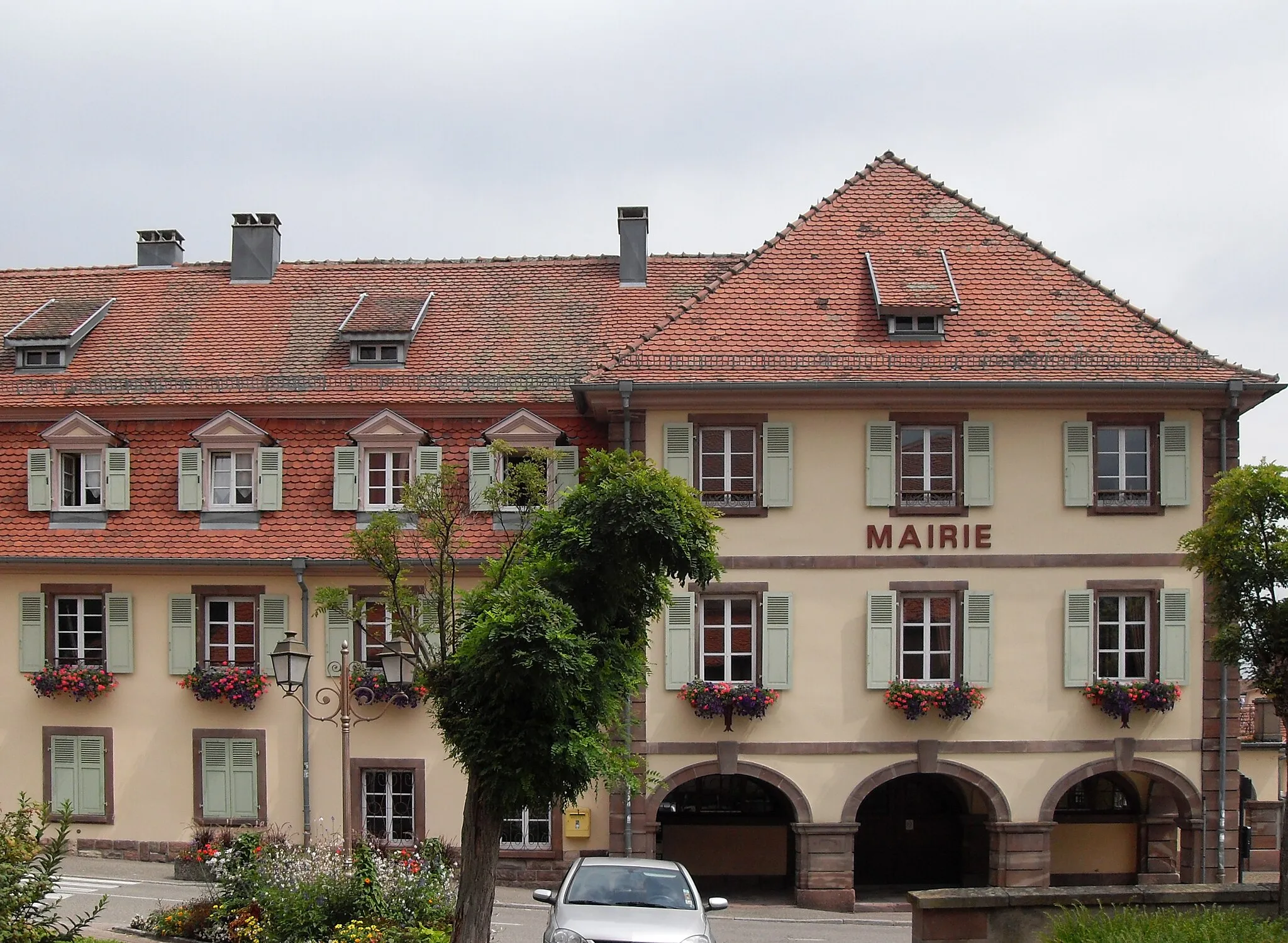
MunchhouseVillageMunchhouse, at the 15 km mark, boasts charming streets and a lovely town center.
37 km
37 km
KembsVillageKembs, around the 37 km mark, is situated along the Rhine River and offers a great opportunity for a riverside picnic.
51 km
51 km
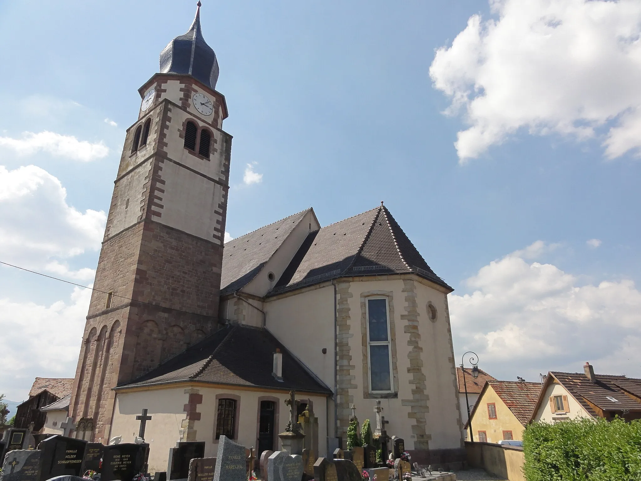
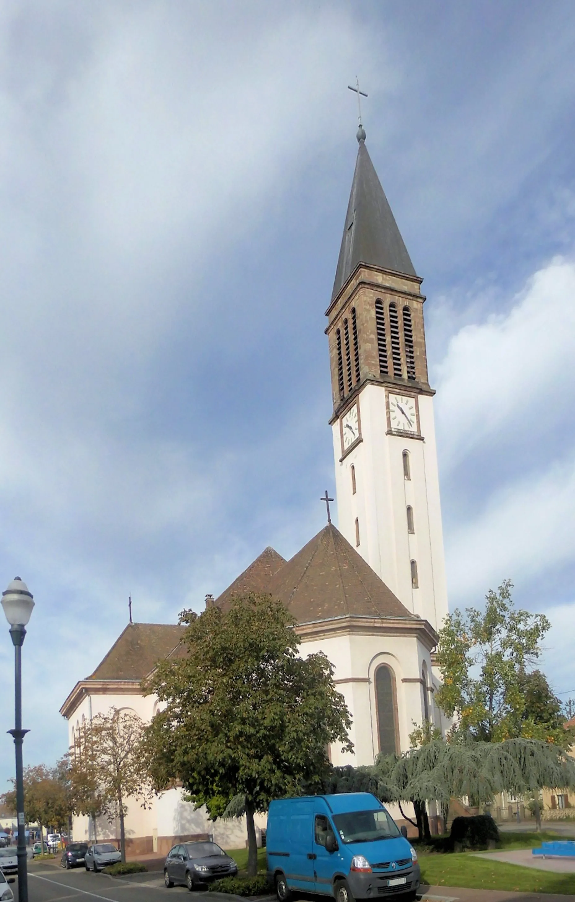
BruebachVillageBruebach, at the 51 km mark, is home to the impressive St. Pancratius Church and offers a taste of local village life.
57 km
57 km
Vue sur MulhouseViewpointVue sur Mulhouse, located at the 57 km mark, provides a breathtaking panoramic view of the city of Mulhouse.
77 km
77 km
BollwillerVillageIn Bollwiller, you'll find the starting and ending point of the route, known for its charming old town area and beautiful surrounding landscapes.
77 km
77 km
Finish: Bollwiller Village centerBollwiller: Leisure cycling through beautiful Alsace countryside.
Cycling routes nearby: