Road to Eguisheim
A road cycling route starting from Bollwiller
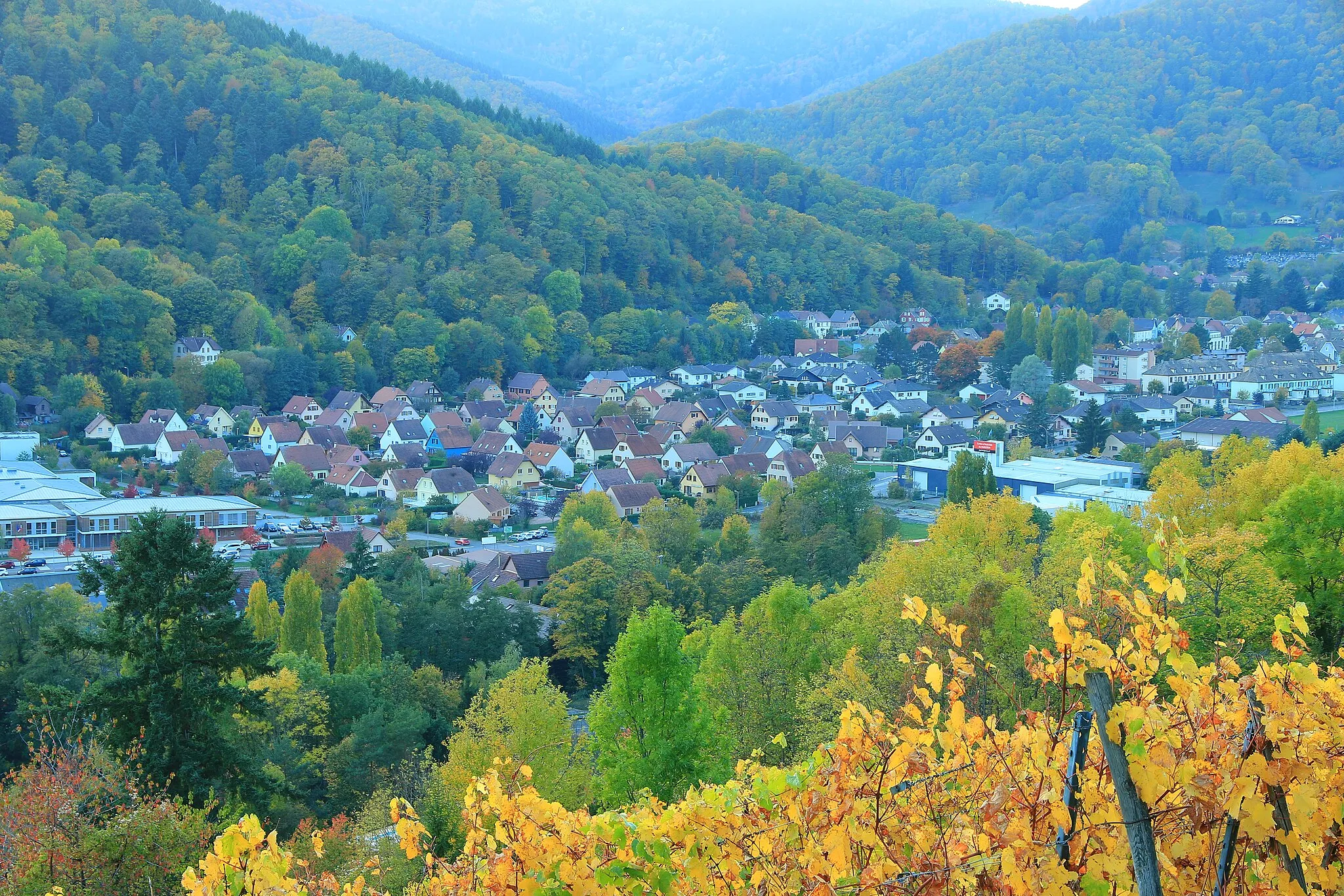
A road cycling route to the heart of Alsatian wine country
Map
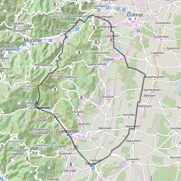
Embark on a scenic 72 km road cycling adventure starting near Bollwiller. With a challenging ascent of 743 meters, the Road to Eguisheim takes you through rolling vineyards and picturesque villages, showcasing the best of Alsatian wine country. This route is suitable for experienced road cyclists looking to test their skills on hilly terrain and soak in the stunning views. Get ready to immerse yourself in the rich wine culture and indulge in the local gastronomy along the way.
road
72 km
743 m
Tough
Route profile
Highlights on the route
0 km
0 km
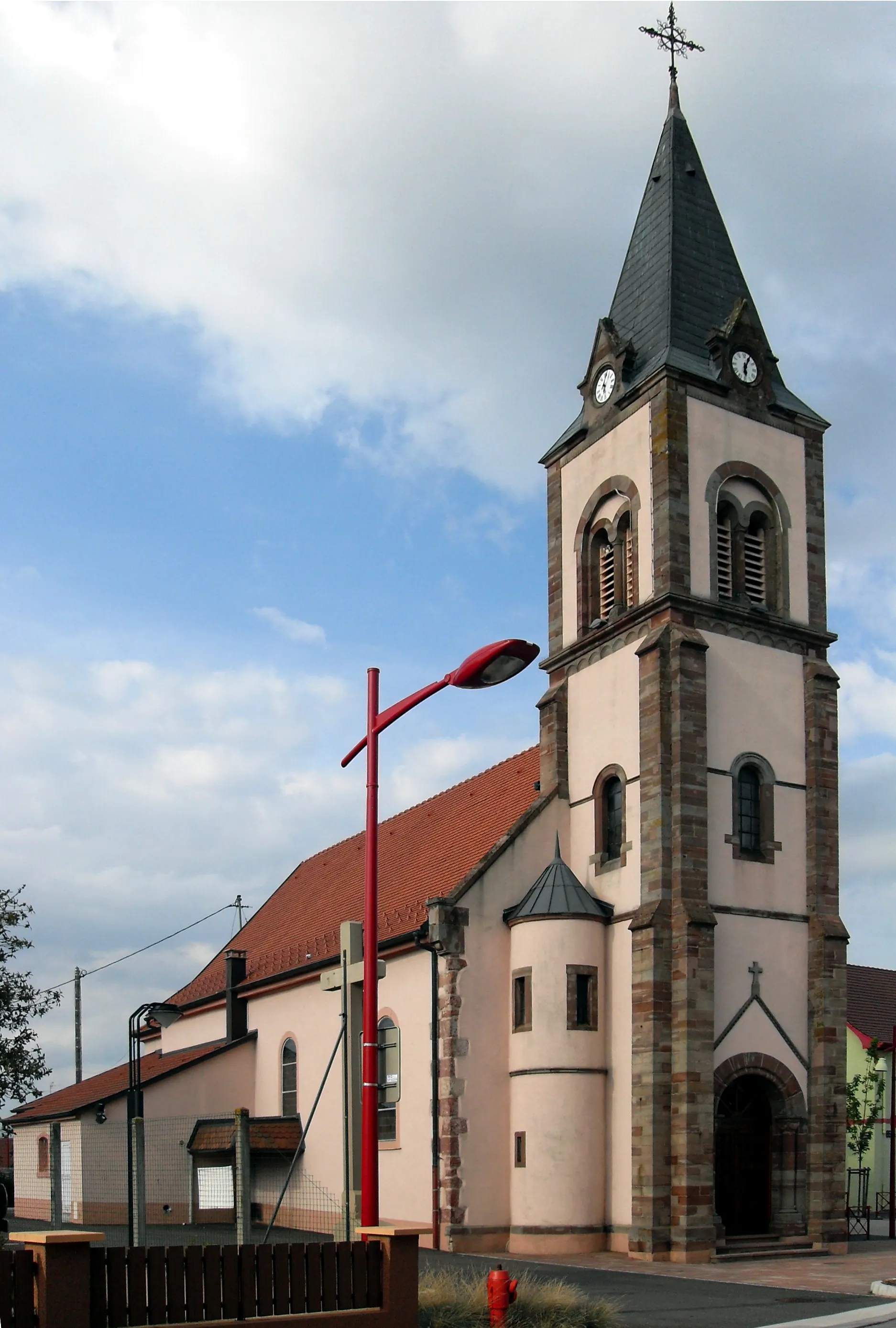
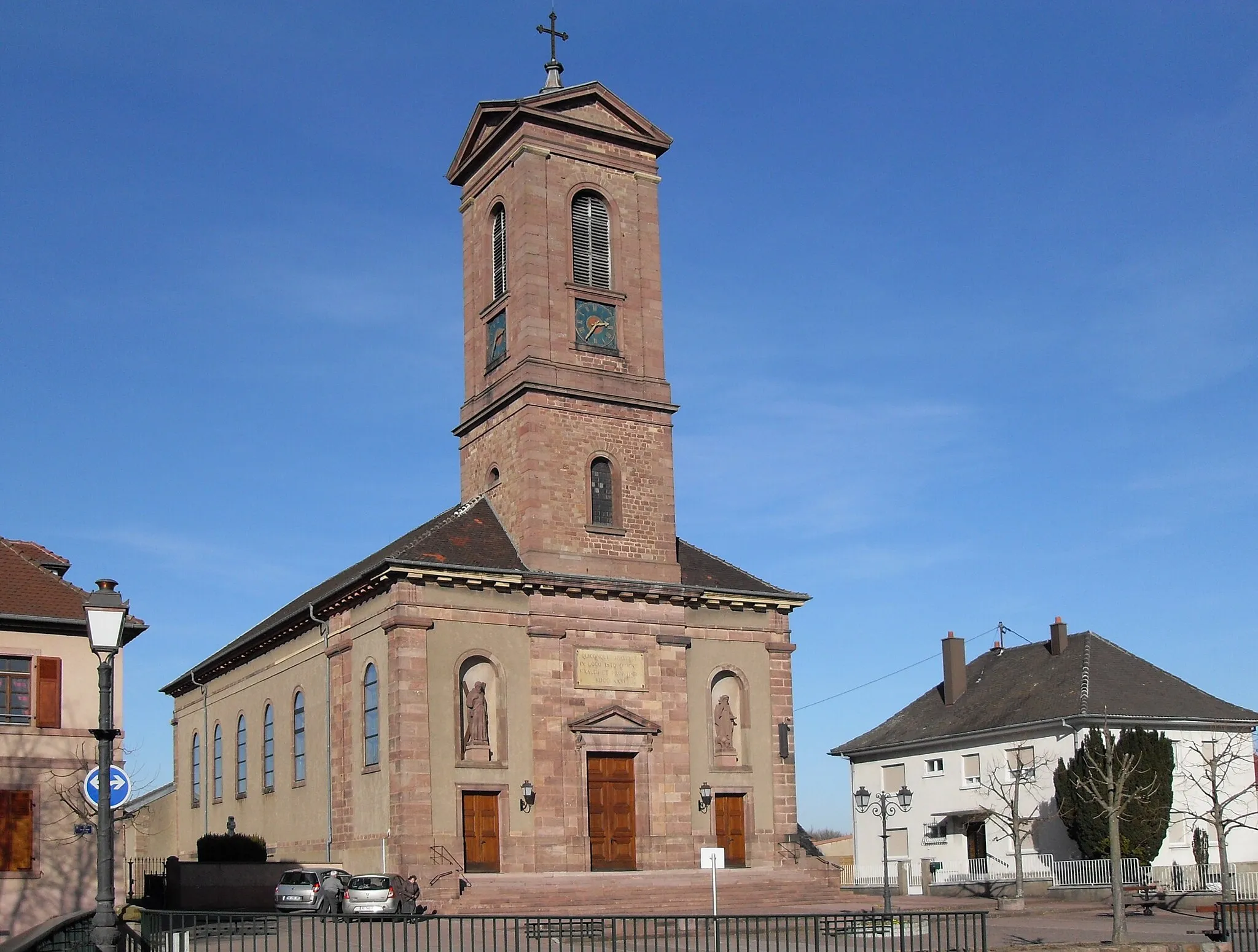
Start: Bollwiller Village centerBollwiller: Leisure cycling through beautiful Alsace countryside.
Bollwiller is a town located in the Alsace region of France. From a cyclist's perspective, the area offers moderate appeal for road and gravel cycling. While there are no famous cycling locations nearby, the town benefits from scenic countryside roads that are well-suited for leisurely rides. Bollwiller does not have a prominent cycling infrastructure, but it can be a pleasant stop for cyclists exploring the Alsace region. Overall, it ranks moderately on the cyclist-friendly scale.0 km
0 km
BollwillerVillageBollwiller, the starting point, is a charming town known for its beautiful old town area and proximity to fantastic cycling routes.
11 km
11 km
Demberg628 mPeakDemberg, around the 11 km mark, offers spectacular vistas of the surrounding vineyards and valleys.
23 km
23 km
Col du Firstplan722 mMountain PassCol du Firstplan, at the 23 km mark, is a challenging climb with rewarding panoramic views of the Alsace region.
29 km
29 km
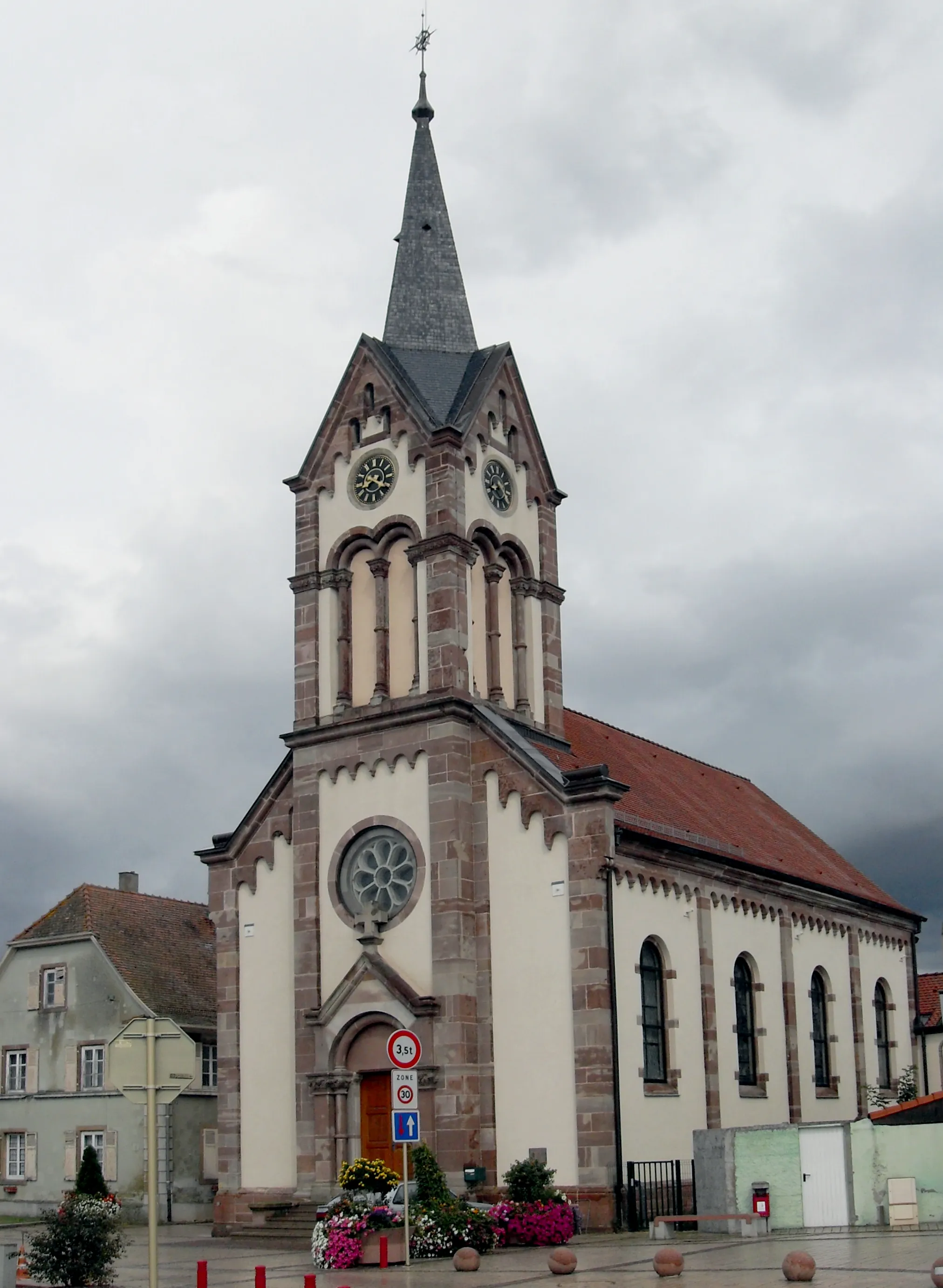
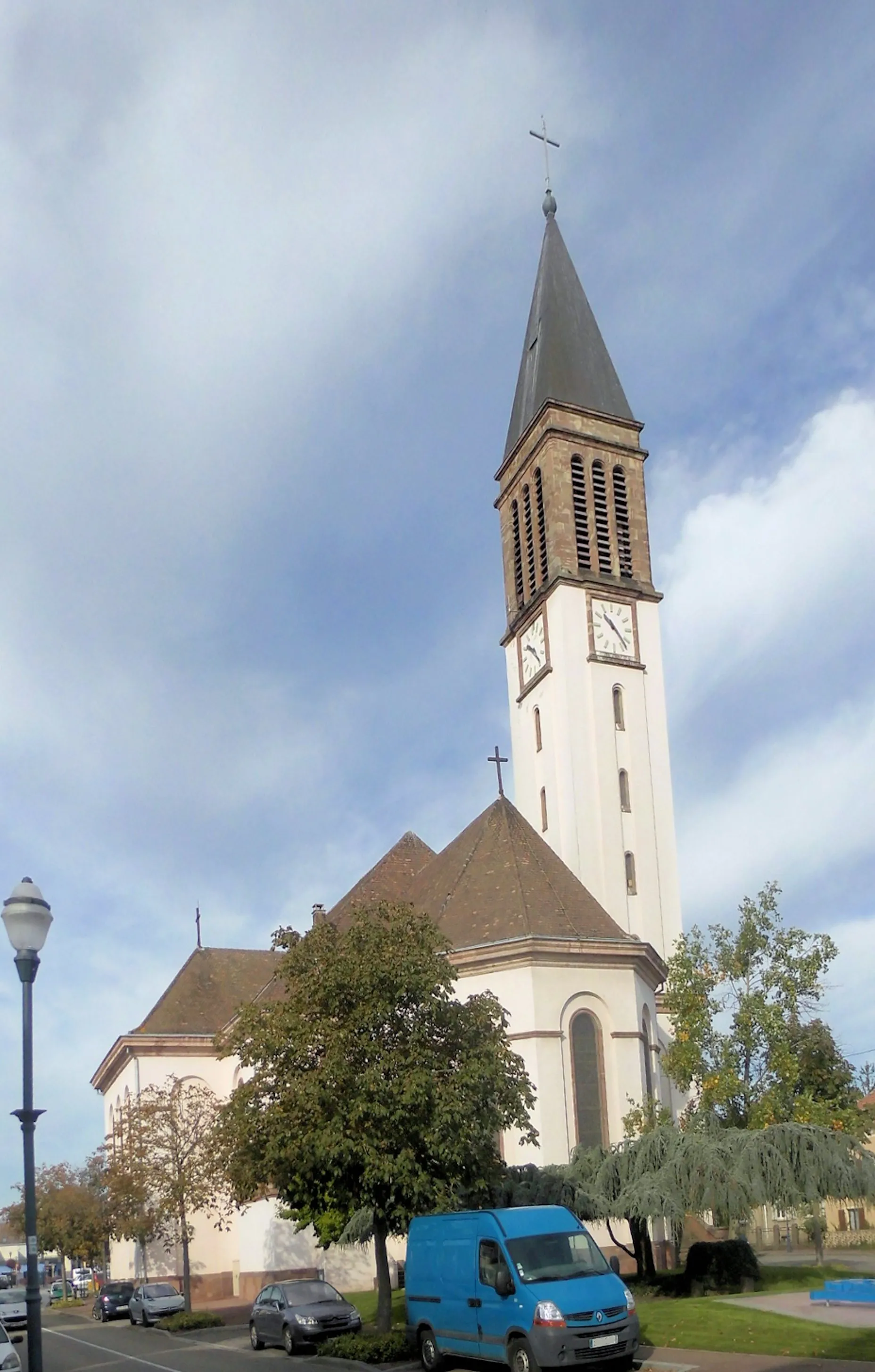
Soultzbach-les-BainsVillageSoultzbach-les-Bains, located at the 29 km mark, is a quaint spa town surrounded by lush forests and renowned for its thermal waters.
38 km
38 km
Ehrbergkopf509 mPeakEhrbergkopf, around the 38 km mark, is a picturesque hill offering breathtaking views of the vine-covered landscape.
43 km
43 km
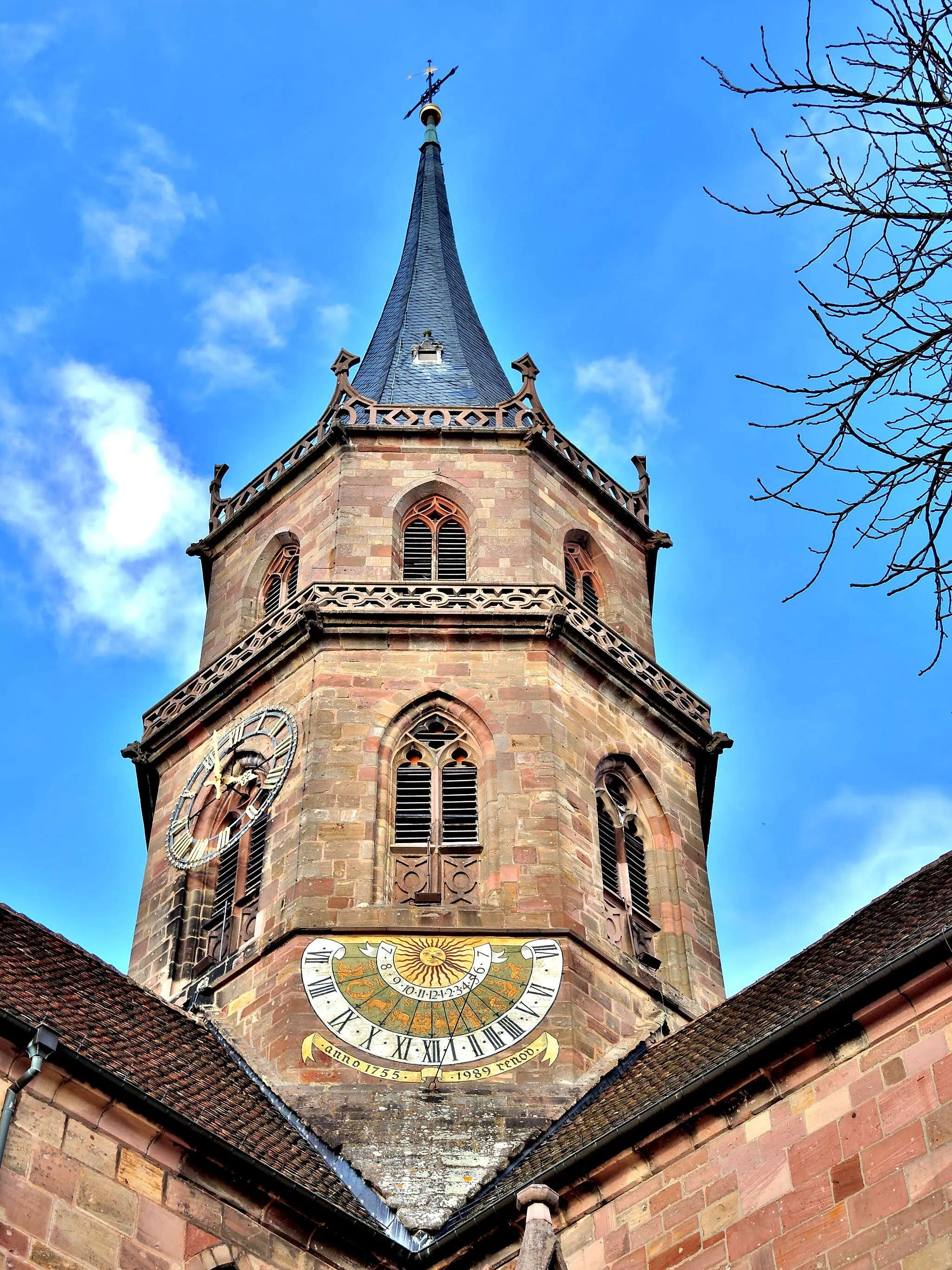
EguisheimVillageEguisheim, at the 43 km mark, is a medieval village that's been recognized as one of the most beautiful in France, with its charming cobbled streets and half-timbered houses.
62 km
62 km
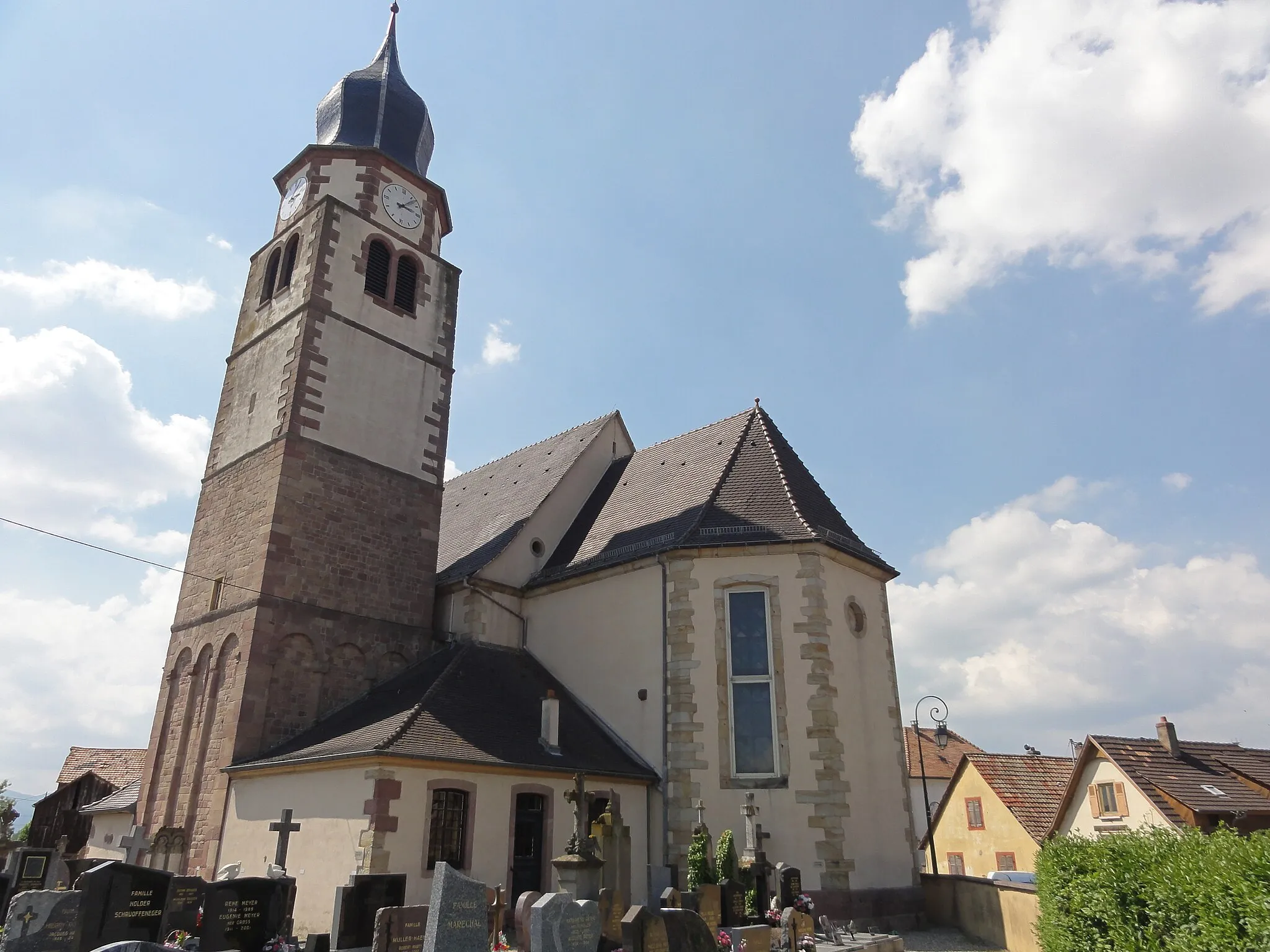
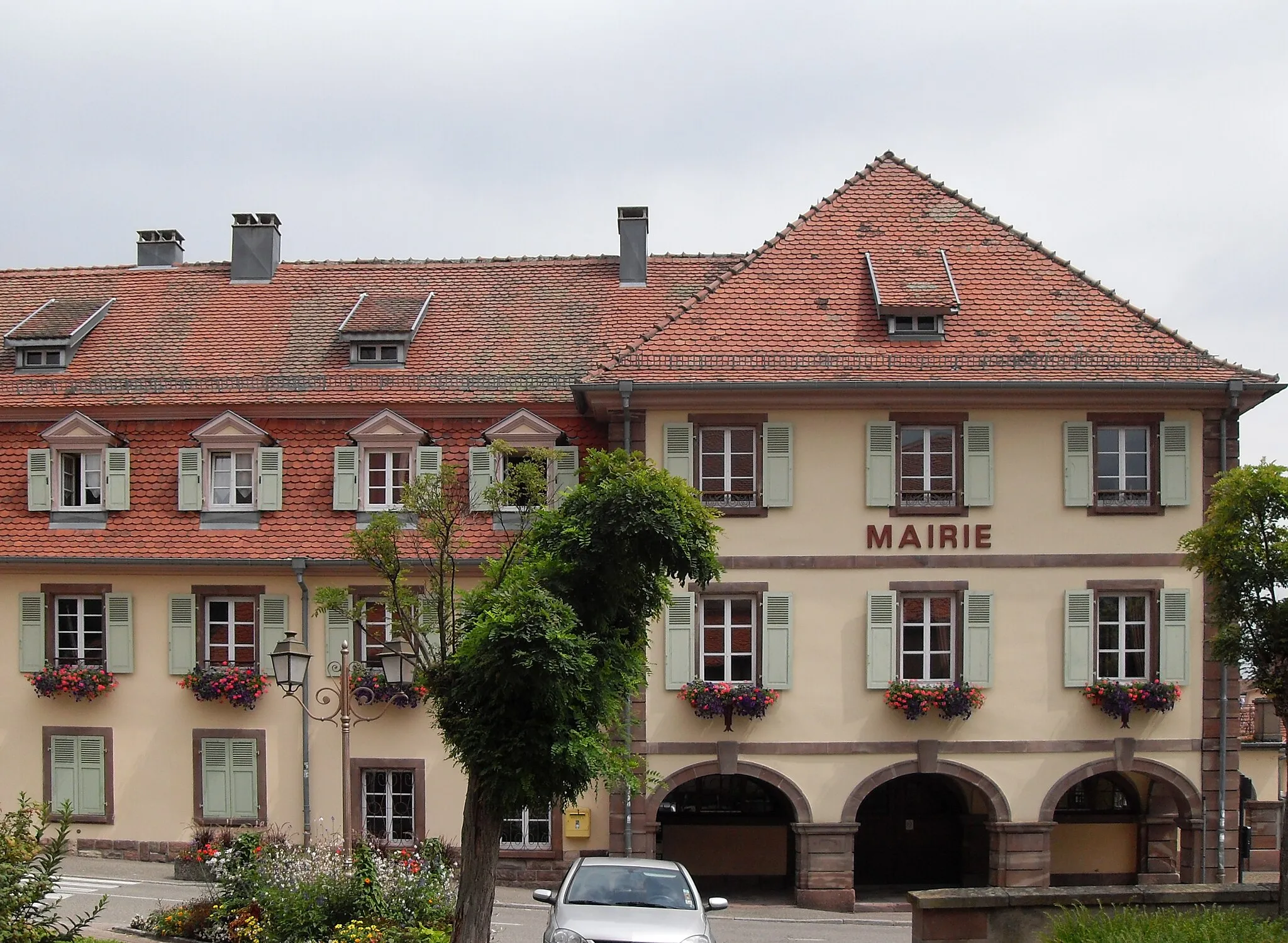
MeyenheimVillageMeyenheim, situated at the 62 km mark, is home to a historic church and is surrounded by lush vineyards.
72 km
72 km
Finish: Bollwiller Village centerBollwiller: Leisure cycling through beautiful Alsace countryside.
Cycling routes nearby: