Beaucourt to Col de la Tanne
A road cycling route starting from Beaucourt
Conquer the challenging Col de la Tanne on this epic road cycling route.
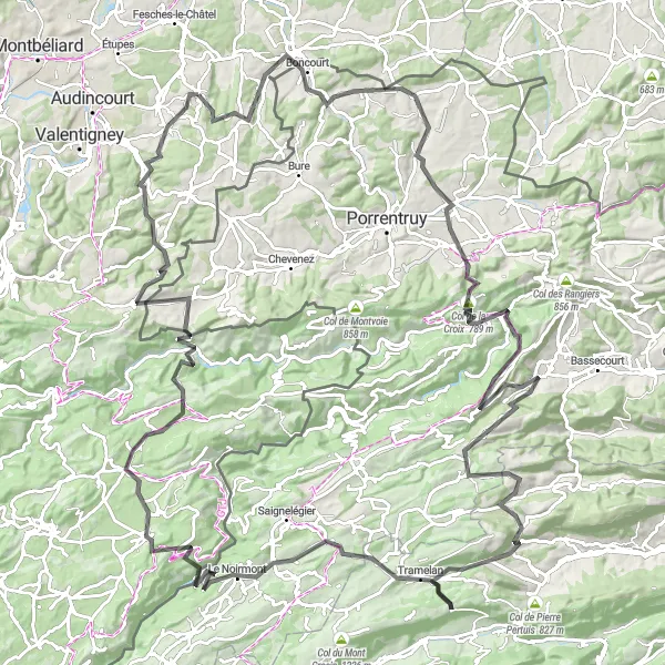
Map
This road cycling route is designed for experienced cyclists looking for a thrilling challenge. Starting in Beaucourt, you will face a series of tough climbs, including the legendary Col de la Tanne. Along the way, you will be rewarded with breathtaking views of the surrounding landscapes. The overall difficulty of this route is high, suitable for very well-trained amateur cyclists. It requires excellent climbing abilities and endurance. The epicness score for this route is high, as it features famous climbs and stunning landscapes.
road
155 km
3631 m
Savage
Route profile
Highlights on the route
0 km
0 km
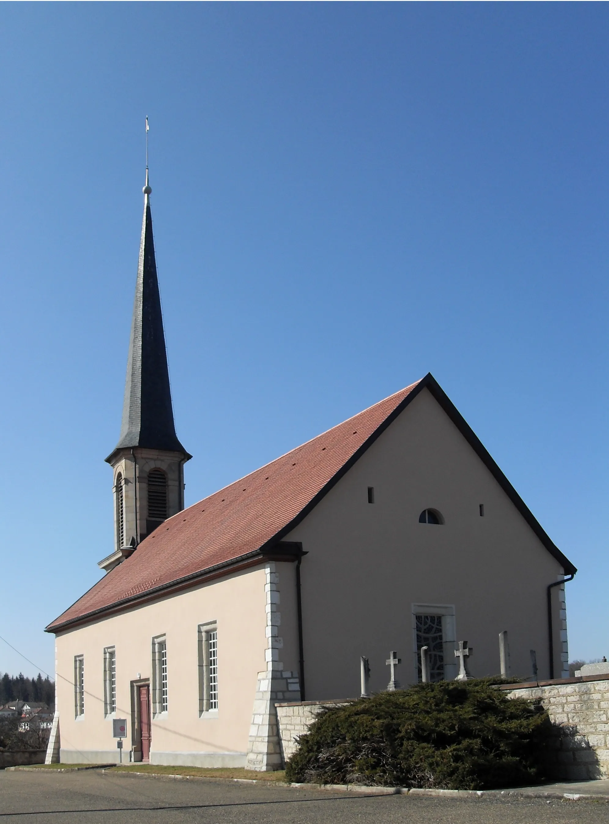
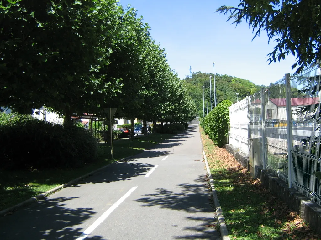
Start: Beaucourt Village centerBeaucourt: Escape to the peaceful cycling haven of Beaucourt
Beaucourt is a pleasant locality located in the Franche-Comté region of France. It offers a serene cycling experience with its peaceful countryside and well-maintained roads. Cyclists can enjoy riding through beautiful meadows, charming villages, and forests. Beaucourt is also known for its proximity to the Vosges Mountains, which offers a range of challenging climbs for all levels of cyclists. Additionally, the locality is in close proximity to the Canal de la Haute-Saône, where cyclists can enjoy riding along its scenic paths. With its tranquil atmosphere and scenic landscapes, Beaucourt is a great destination for cyclists.1 km
1 km
Grammont576 mPeakGrammont, located at a distance of 1 km, is a stunning hill known for its panoramic views.
10 km
10 km
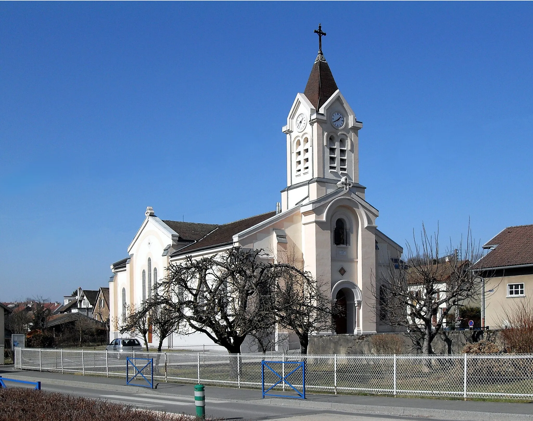
DelleVillageDelle, located at a distance of 10 km, is a historic town with a charming old town center.
31 km
31 km
CourgenayVillageCourgenay, located at a distance of 31 km, is a quaint village with traditional Swiss architecture.
40 km
40 km
Foto-Spot Saint-UrsanneViewpointFoto-Spot Saint-Ursanne, located at a distance of 40 km, offers a perfect spot for capturing memorable cycling moments.
53 km
53 km
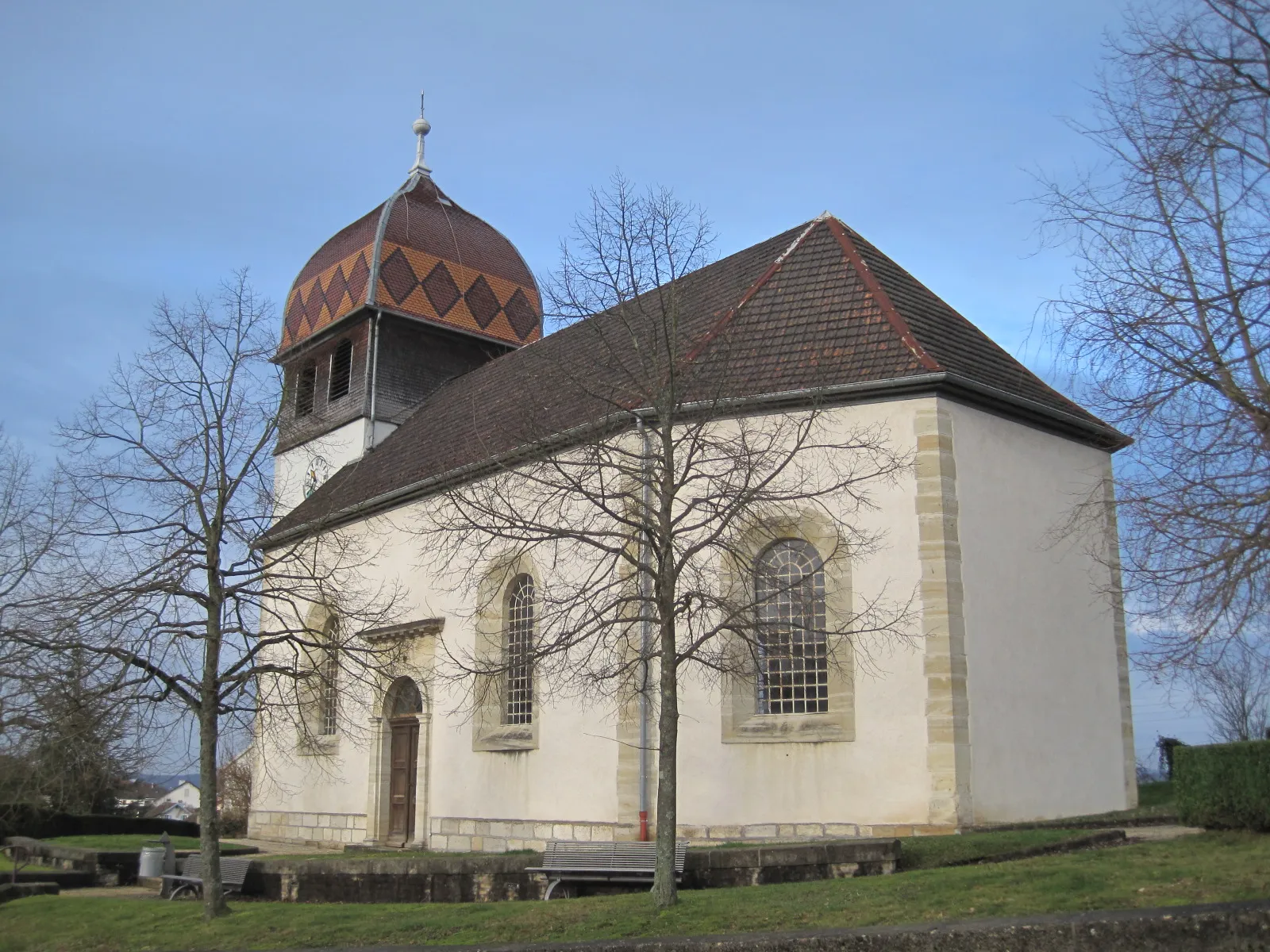
GlovelierVillageGlovelier, located at a distance of 53 km, is a charming village with an impressive wooden bridge.
62 km
62 km
Lajoux JUVillageLajoux JU, located at a distance of 62 km, is a scenic village known for its cross-country skiing trails.
66 km
66 km
Le Coteniat900 mPeakLe Coteniat, located at a distance of 66 km, offers stunning views of the surrounding mountains.
75 km
75 km
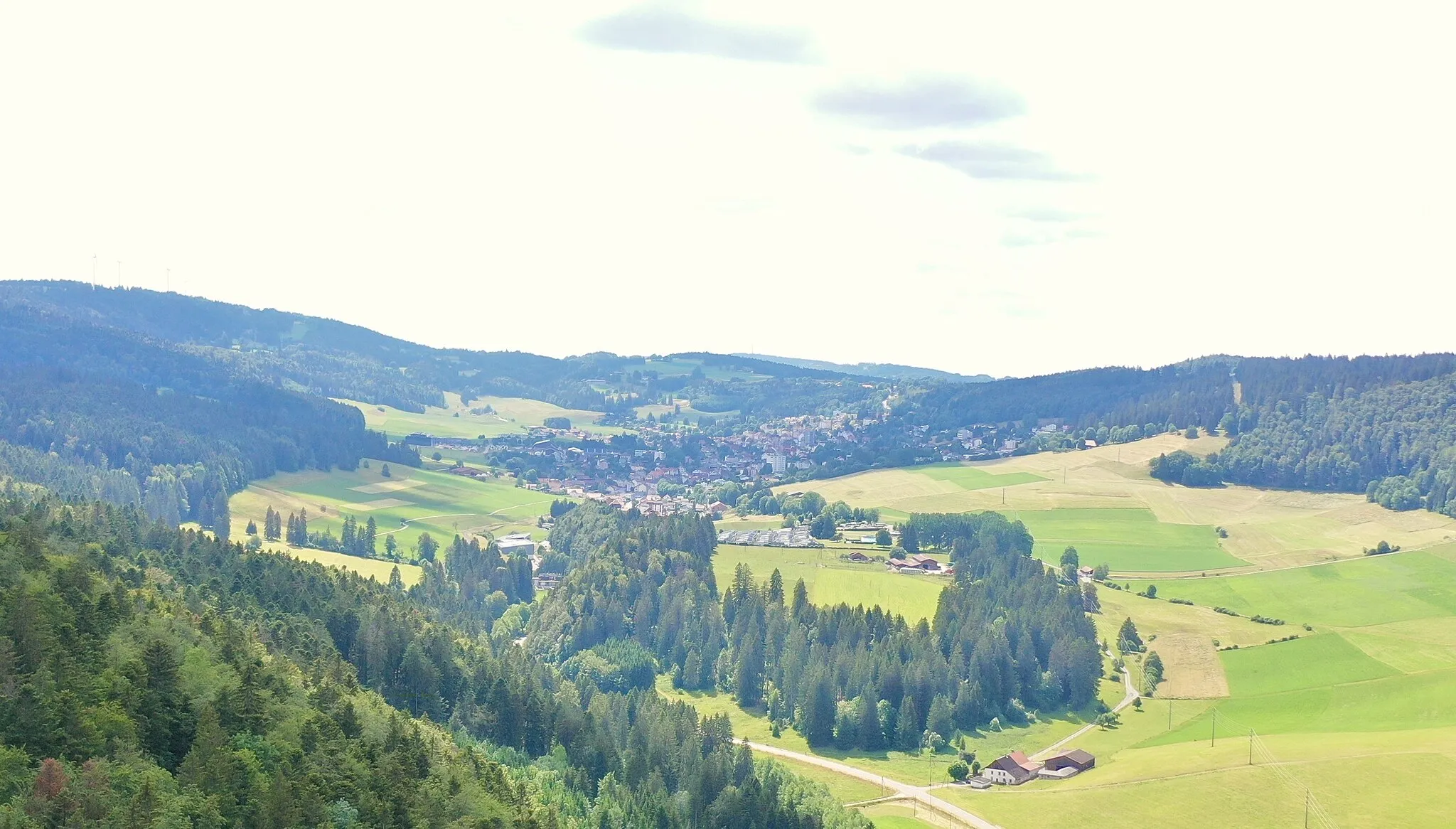
Col de la Tanne1007 mMountain PassCol de la Tanne, located at a distance of 75 km, is a challenging climb known for its stunning panoramas.
83 km
83 km
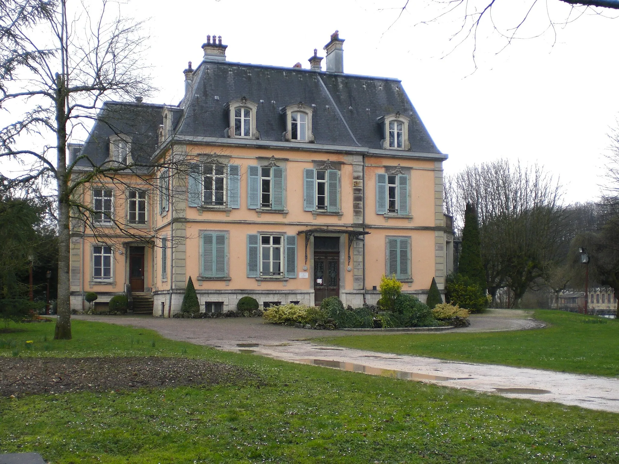
TramelanVillageTramelan, located at a distance of 83 km, is a picturesque town with well-preserved traditional houses.
96 km
96 km
Le NoirmontVillageLe Noirmont, located at a distance of 96 km, is a charming village surrounded by beautiful forests.
108 km
108 km
Col de la Vierge969 mMountain PassCol de la Vierge, located at a distance of 108 km, is a famous climb offering breathtaking mountain views.
111 km
111 km
DamprichardVillageDamprichard, located at a distance of 111 km, is a picturesque village with lovely old buildings.
130 km
130 km
Montjoie-le-ChâteauVillageMontjoie-le-Château, located at a distance of 130 km, offers stunning views from its hilltop location.
153 km
153 km
La Roche462 mPeakLa Roche, located at a distance of 153 km, is a picturesque village known for its beautiful landscapes.
155 km
155 km
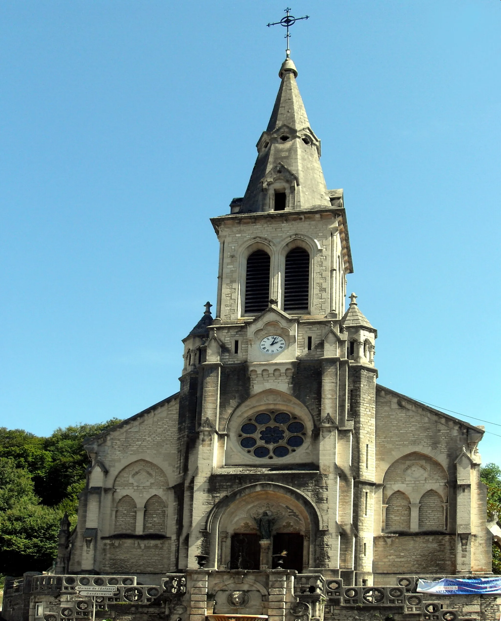
BeaucourtVillageBeaucourt, where the route begins and ends, is a charming town known for its historic buildings and friendly locals.
155 km
155 km
Finish: Beaucourt Village centerBeaucourt: Escape to the peaceful cycling haven of Beaucourt
Cycling routes nearby: