Tranquil cycling in Quincampoix
Cycling routes from Quincampoix
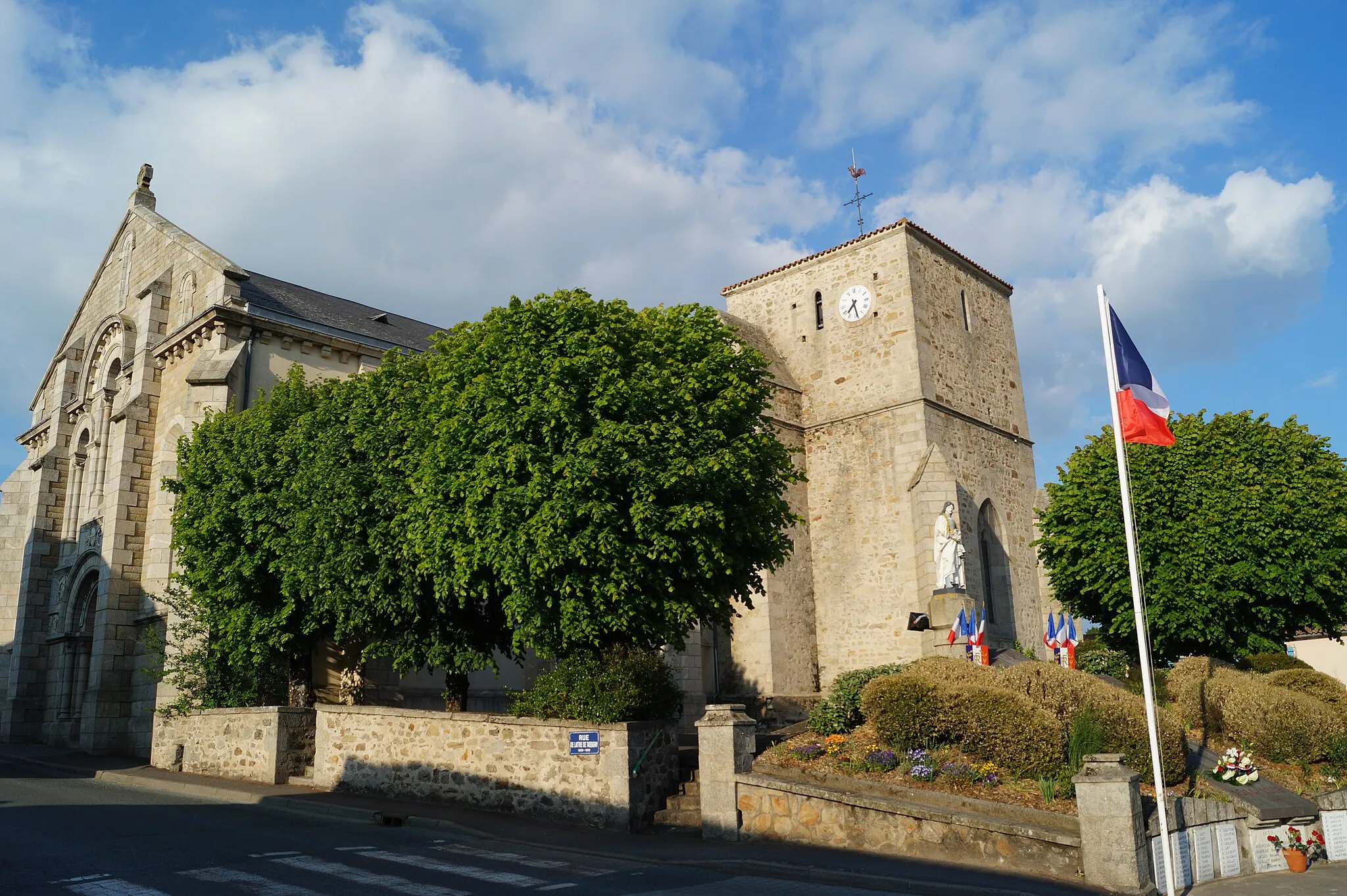
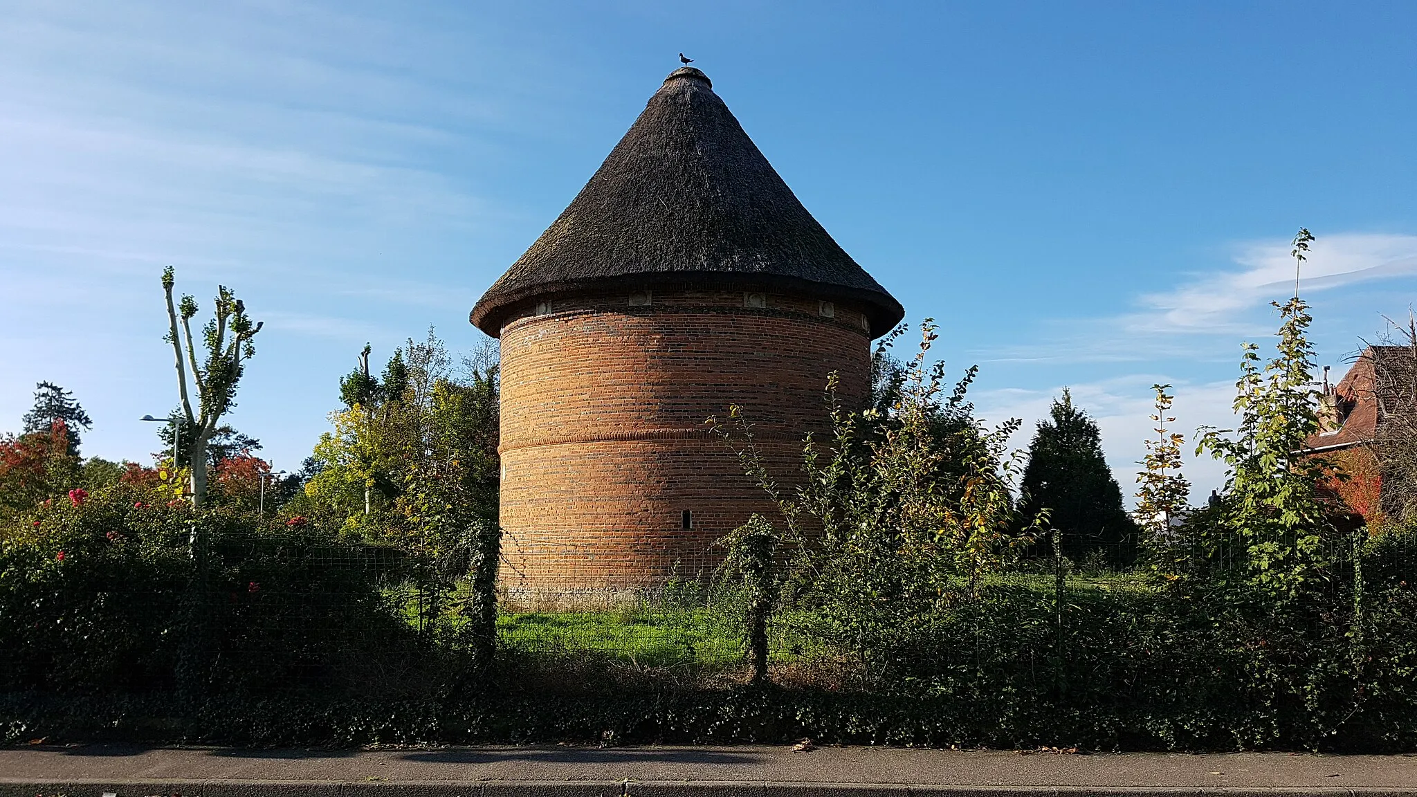
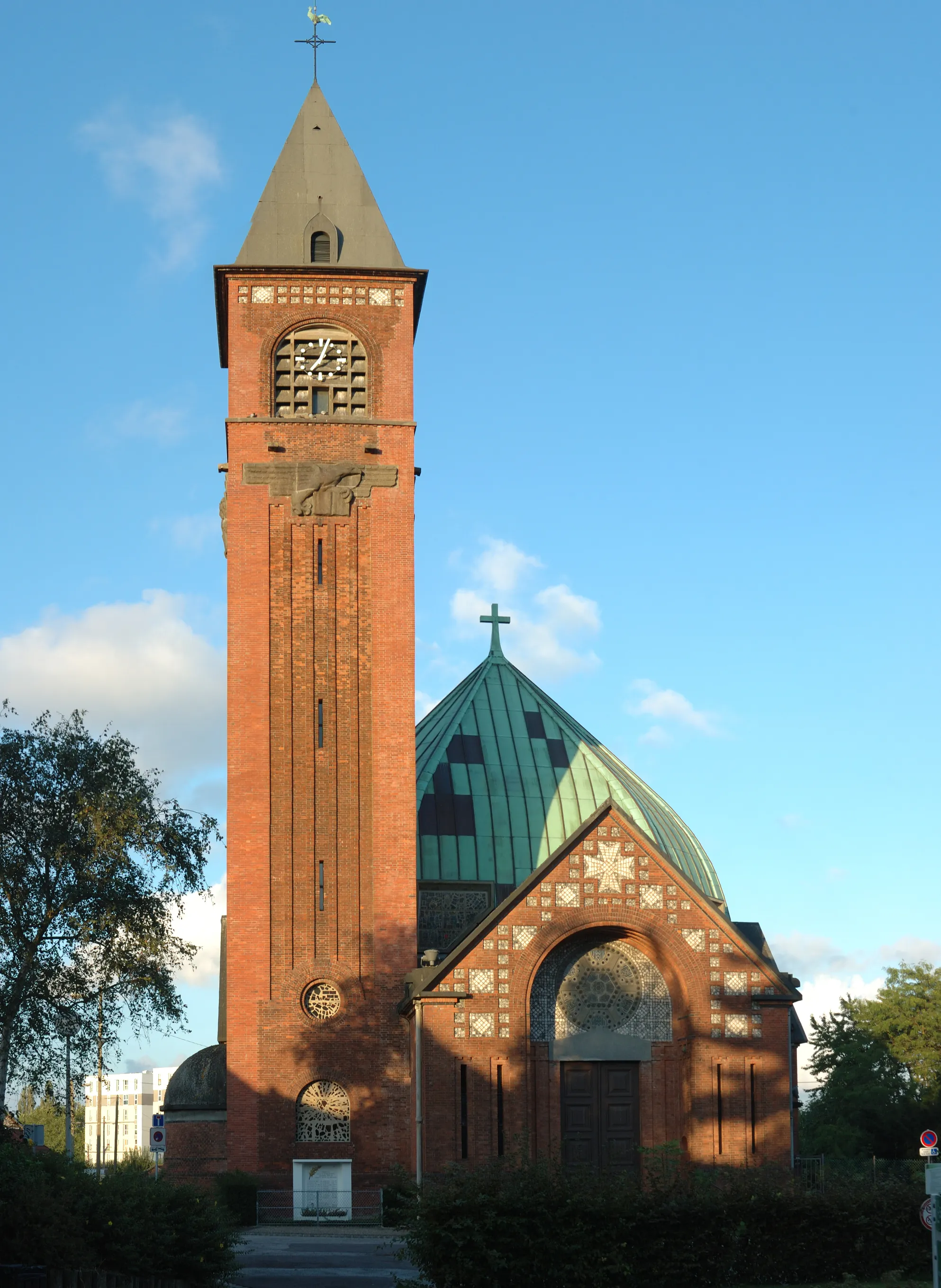
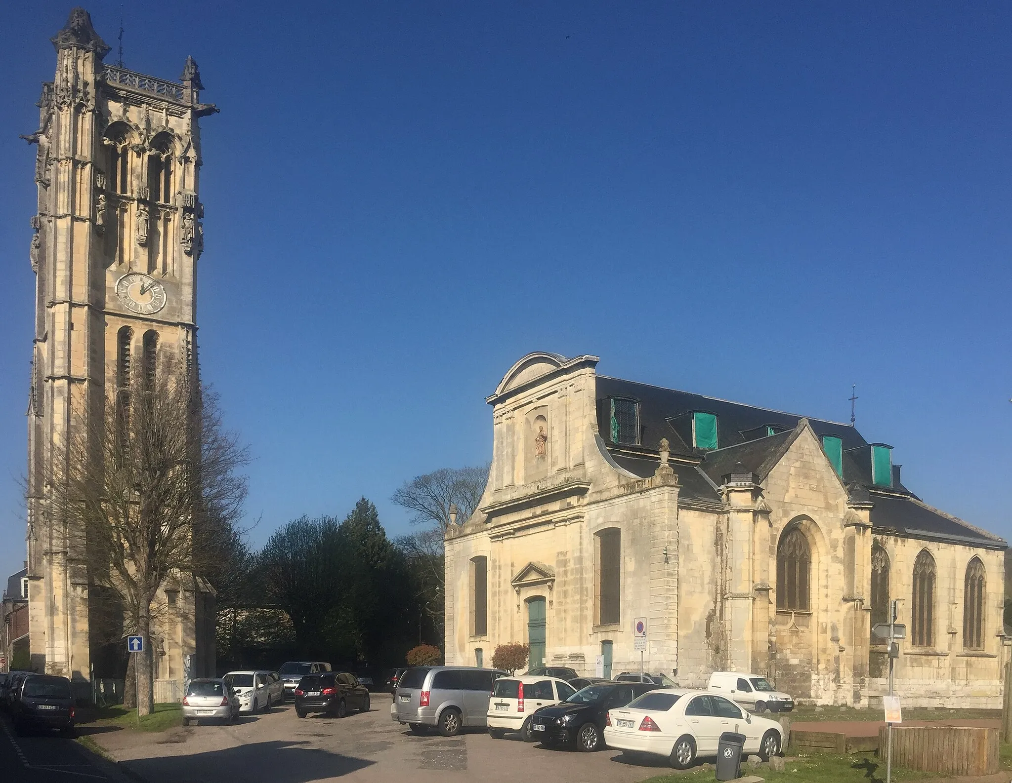
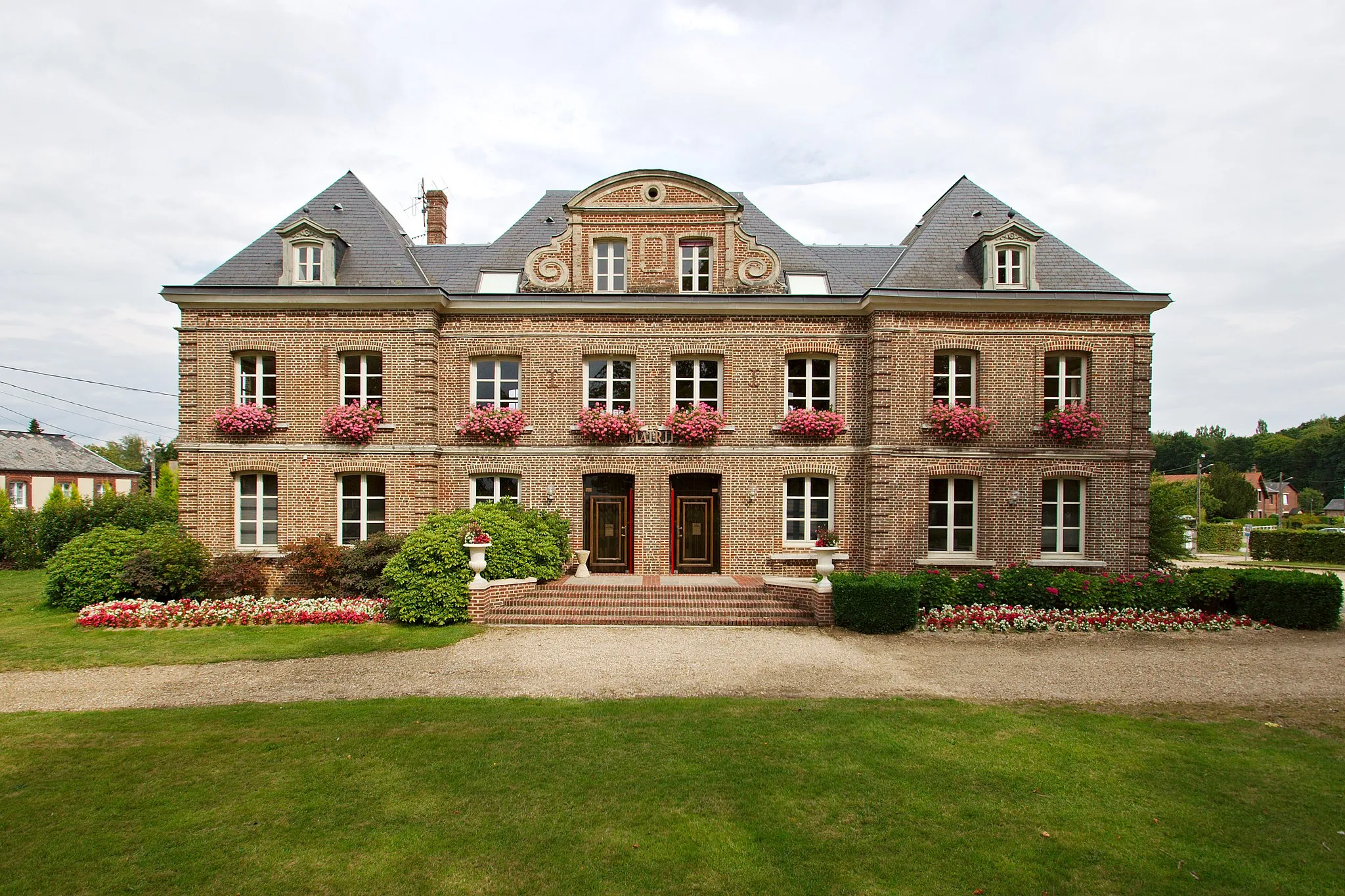
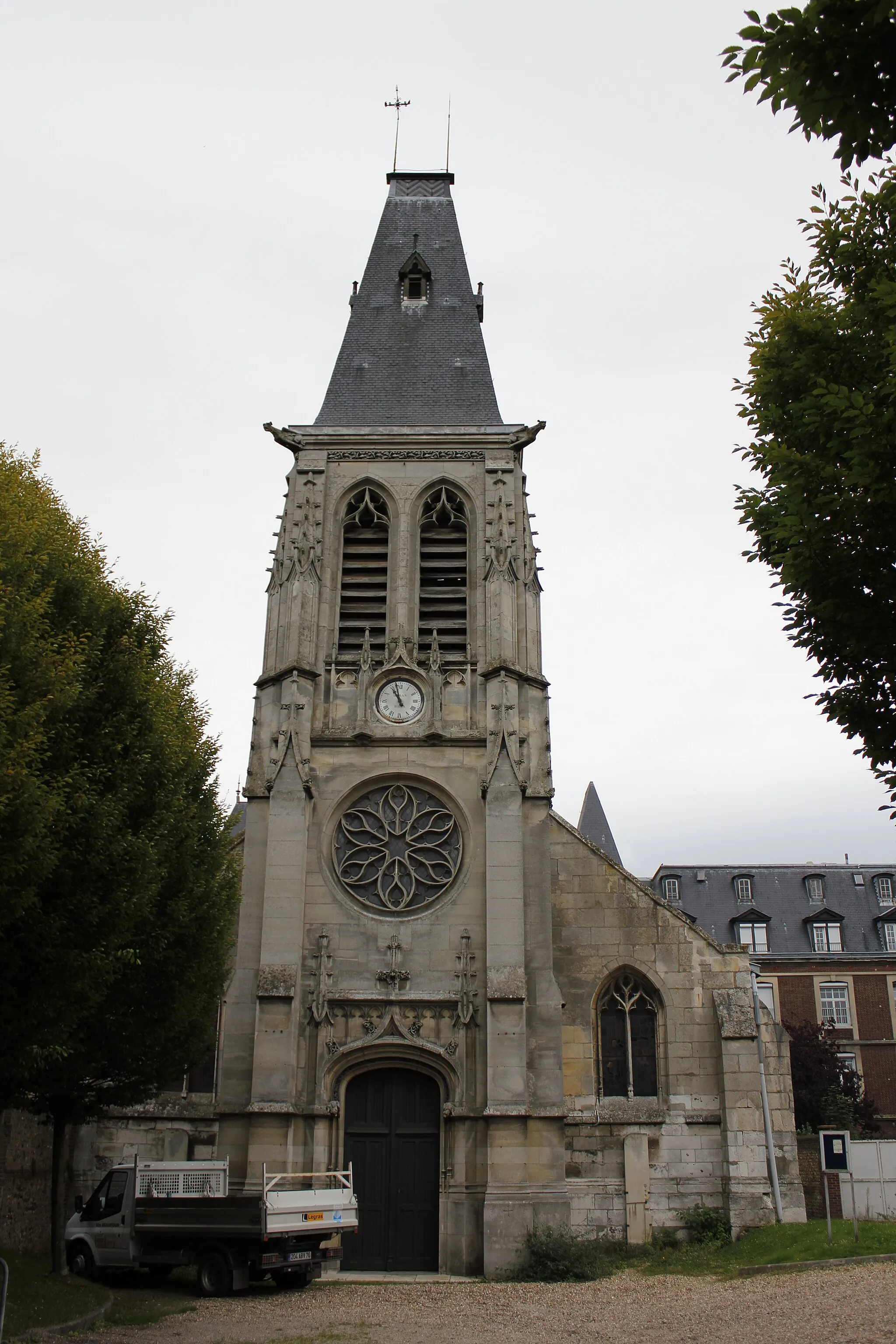
Quincampoix, situated in the Haute-Normandie region of France, is a suitable locality for road and gravel cyclists. The town offers a mix of flat roads and rural routes through picturesque farmlands. While it may not have any famous cycling spots nearby, cyclists can enjoy the peaceful natural beauty of the surrounding areas. Quincampoix provides a pleasant cycling experience in a tranquil setting.
Mont-Saint-Aignan Cycling Loop

A scenic road cycling route starting near Quincampoix
Explore the beautiful landscapes of Haute-Normandie on this challenging road cycling route. With a total distance of 114 km and an ascent of 1062 meters, this loop takes you through picturesque villages, rolling hills, and breathtaking panoramas. The route starts near Quincampoix and passes through Mont-Saint-Aignan, Yainville, Anquetierville, Croix-Mare, and Montville. Along the way, you'll enjoy the charm of traditional Normandy architecture, peaceful rural roads, and a taste of the local cuisine.
An exhilarating gravel ride through the countryside near Quincampoix
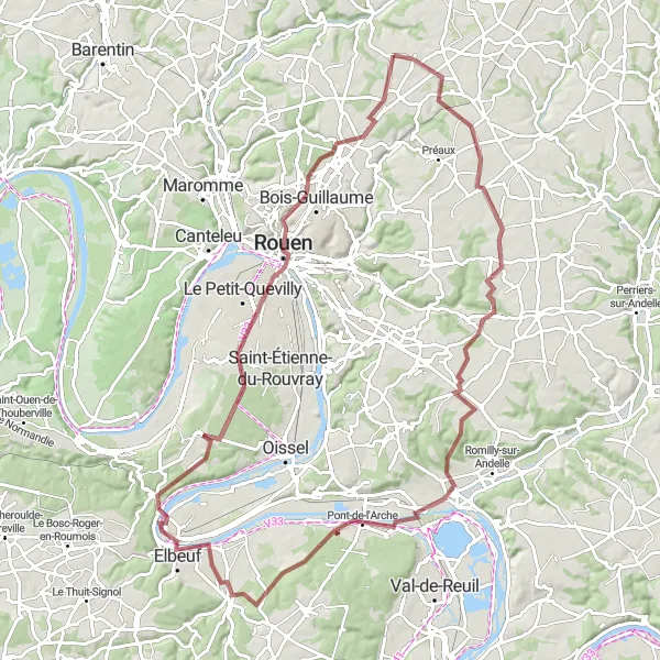
Embark on an exciting gravel adventure on this 95 km cycling route starting near Quincampoix. With 720 meters of ascent, this route will challenge your stamina and allow you to explore the untamed beauty of Haute-Normandie. Passing through Bois-l'Évêque, Les Damps, Saint-Pierre-lès-Elbeuf, Orival, Rouen, and Mont Fortin, you'll discover hidden gems and immerse yourself in the natural splendor of the region. Expect gravel paths, rolling hills, and breathtaking viewpoints along the way.
The Two Amants Ride
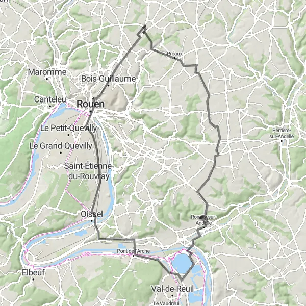
Embark on a scenic journey along the Seine river, passing through quaint villages and breathtaking viewpoints.
This cycling route follows the majestic Seine river, offering breathtaking views and picturesque landscapes. With a total distance of 78km and an ascent of 421m, it is suitable for intermediate-level cyclists. The route takes you through enchanting villages and provides opportunities to enjoy panoramic viewpoints. Highlights include the village of Bois-d'Ennebourg, known for its charming blend of traditional architecture and natural beauty, and the Table d'orientation de la cote des deux amants, a scenic viewpoint offering sweeping views of the Seine valley. With its historic city center and the iconic Mont Fortin, Rouen is the perfect spot for a mid-ride exploration. Overall, this route offers a blend of natural beauty, cultural heritage, and stunning viewpoints.
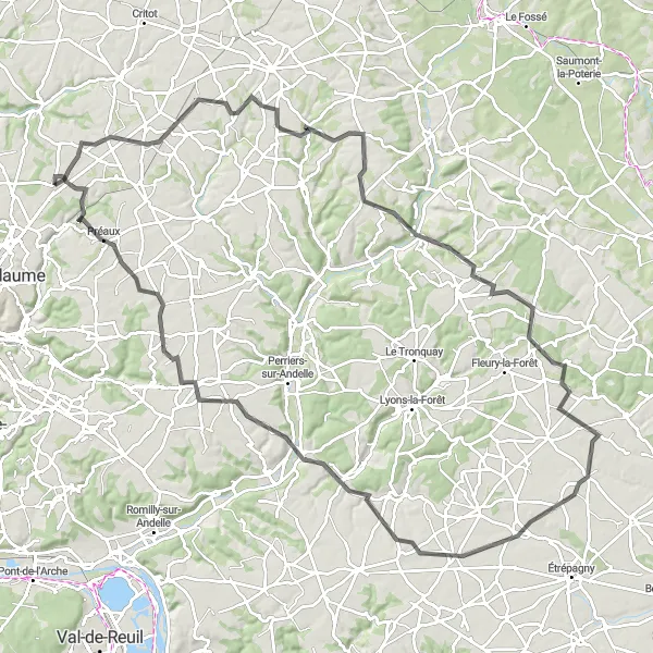
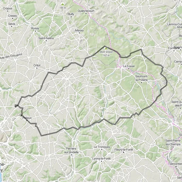
Embark on a scenic countryside tour from Quincampoix to Sainte-Croix-sur-Buchy.
The Scenic Countryside Tour is a road cycling route starting near Quincampoix. This captivating route covers a distance of 110 kilometers with an ascent of 744 meters. The difficulty level of this route is challenging, suitable for experienced cyclists. During the tour, you will pass through the charming villages of Sainte-Croix-sur-Buchy, La Chapelle-Saint-Ouen, Saussay-la-Campagne, Charleval, Bois-d'Ennebourg, and finally return to Quincampoix. Immerse yourself in the natural beauty of the region and enjoy breathtaking vistas along the way.
Quincampoix Loop
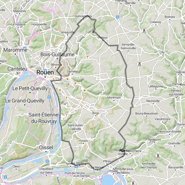
Discover the beauty of Quincampoix and its neighboring landscapes on this road cycling loop.
The Quincampoix Loop is a road cycling route starting near Quincampoix. It covers a distance of 69 kilometers with an ascent of 470 meters. The difficulty level of this route is moderate, suitable for intermediate cyclists. The route takes you through the scenic villages of Bois-d'Ennebourg, Table d'orientation de la cote des deux amants, Pîtres, Alizay, Bonsecours, Panorama Rouen Est, and Isneauville. Enjoy breathtaking views and immerse yourself in the natural beauty of the region.
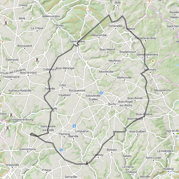
Embark on an exciting road cycling journey to Saint-André-sur-Cailly.
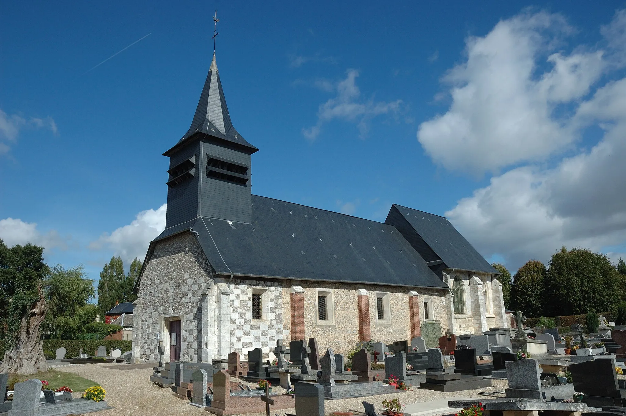
The Saint-André-sur-Cailly Road is a road cycling route starting near Quincampoix. This thrilling route spans 79 kilometers in distance and includes a challenging ascent of 659 meters. The difficulty level of this route is moderate to difficult, suitable for experienced amateurs. Along the way, you will come across the enchanting villages of Saint-Saëns, Sainte-Geneviève, Bois-Guilbert, and Catenay. Enjoy the scenic beauty of nature and experience the tranquility of these charming locations.
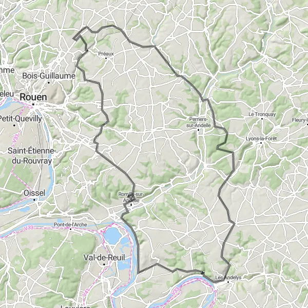
Embark on an adventurous journey through the scenic landscapes of Les Andelys, discovering charming villages and ancient fortresses along the way.
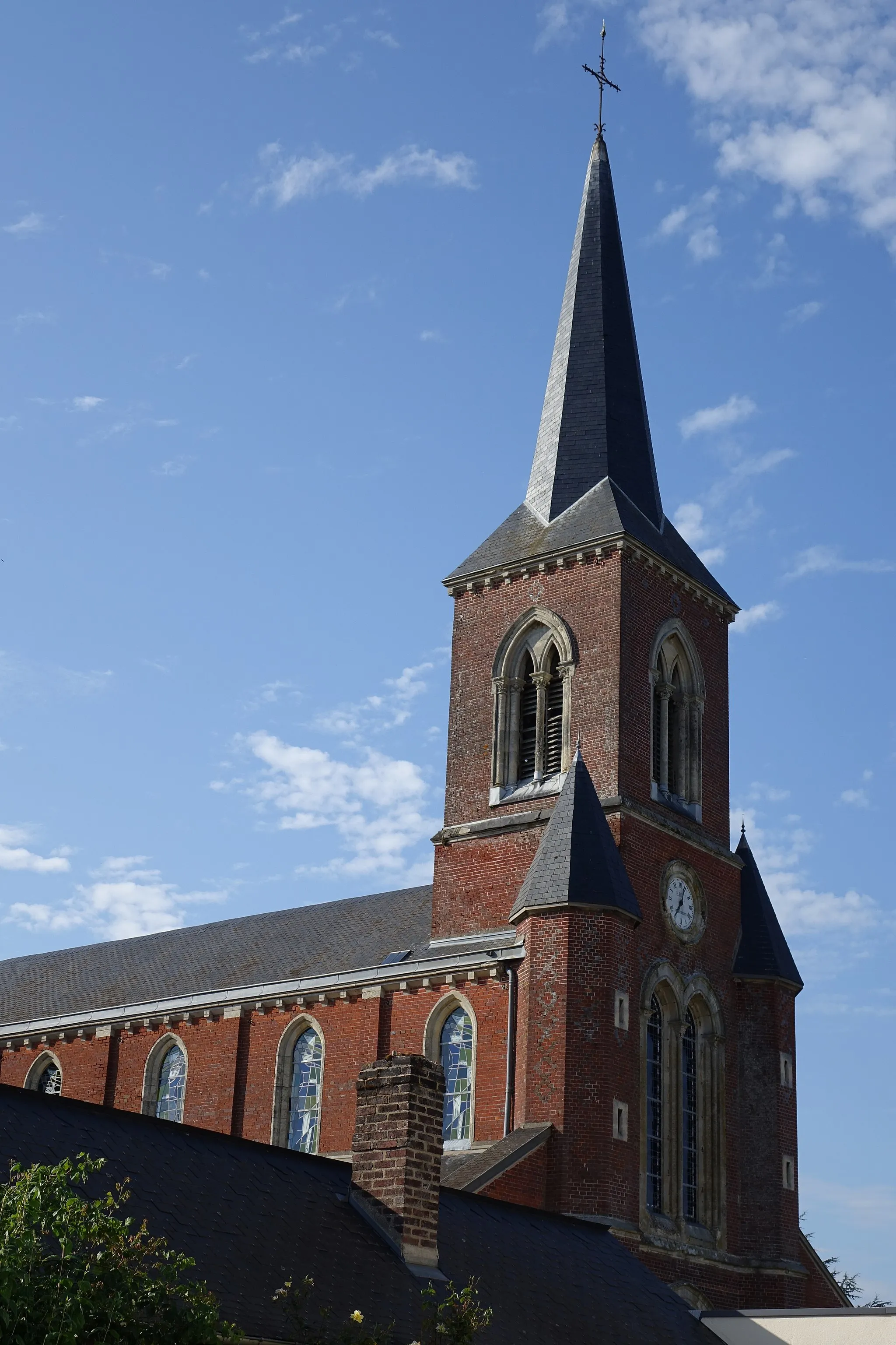
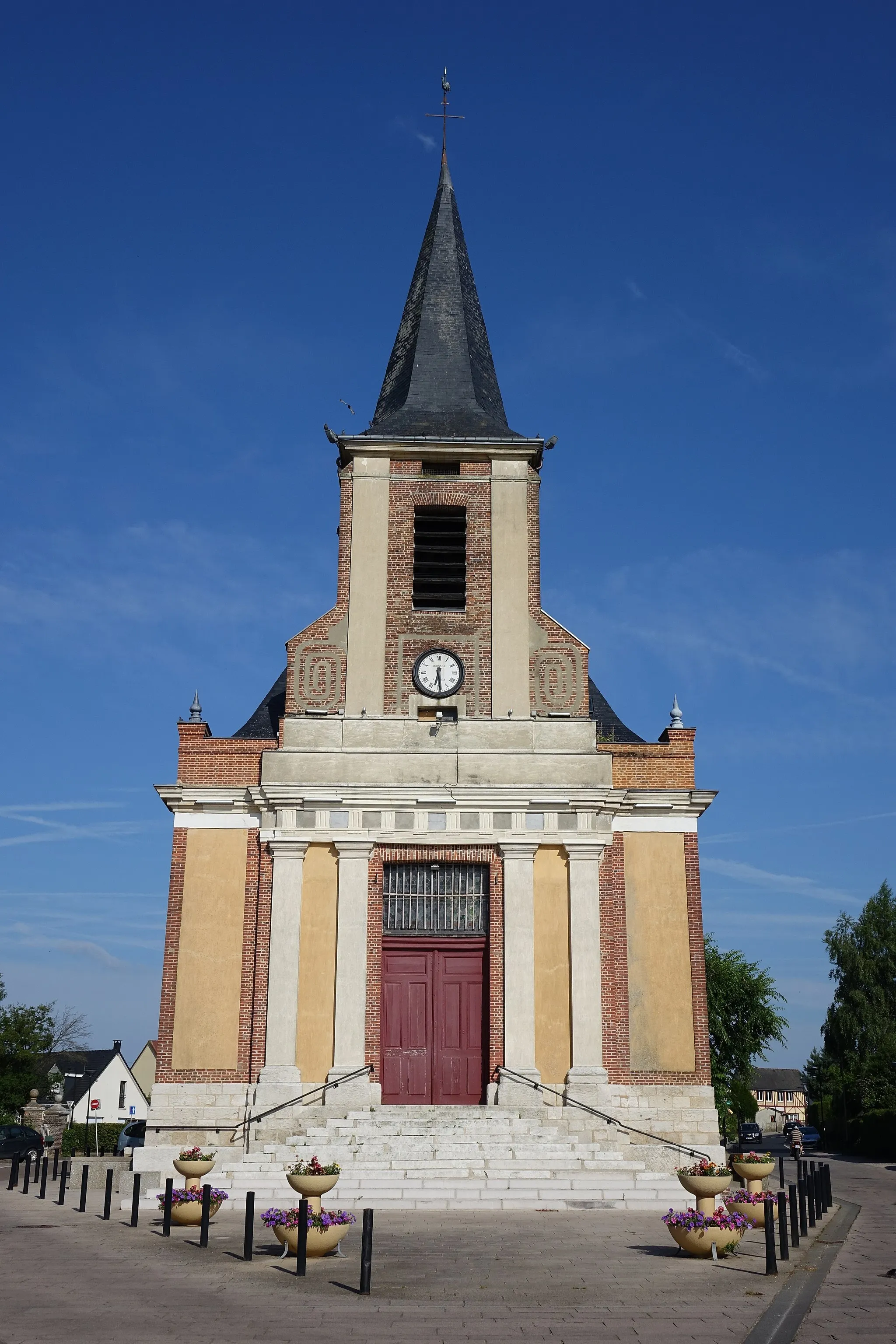
This cycling route takes you on an adventure through the picturesque landscapes surrounding Les Andelys. With a total distance of 105km and an ascent of 978m, it is recommended for experienced cyclists. The route offers a perfect blend of challenging climbs, scenic descents, and cultural attractions. Highlights include the village of Blainville-Crevon, known for its traditional Normandy architecture and tranquil setting, and the ancient fortress of Les Andelys, which towers above the Seine valley providing not only majestic views but also a glimpse into the region's rich history. With its charming riverside promenade and medieval church, Connelles is a perfect spot to relax and soak in the tranquility of the Seine. Overall, this route offers a combination of adrenaline-fueled adventure, natural beauty, and cultural discoveries.
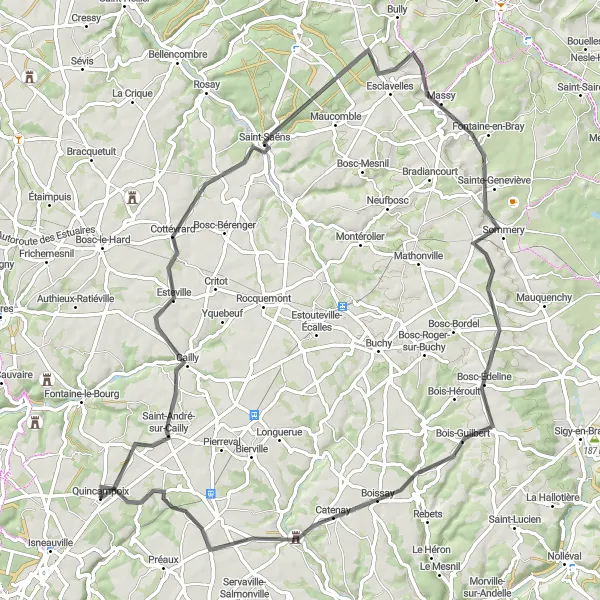
Cailly Route
Explore the scenic beauty of Cailly during this road cycling adventure.
The Cailly Route is a road cycling route starting near Quincampoix. It covers a distance of 75 kilometers with a total ascent of 597 meters. The difficulty level of this route is moderate, suitable for well-trained amateurs. The route offers panoramic views of the picturesque landscapes and takes you through the charming villages of Cottévrard, Fontaine-en-Bray, Catenay, and Saint-Georges-sur-Fontaine.
Embark on an epic cycling adventure through the mesmerizing landscapes of Saint-André-sur-Cailly.
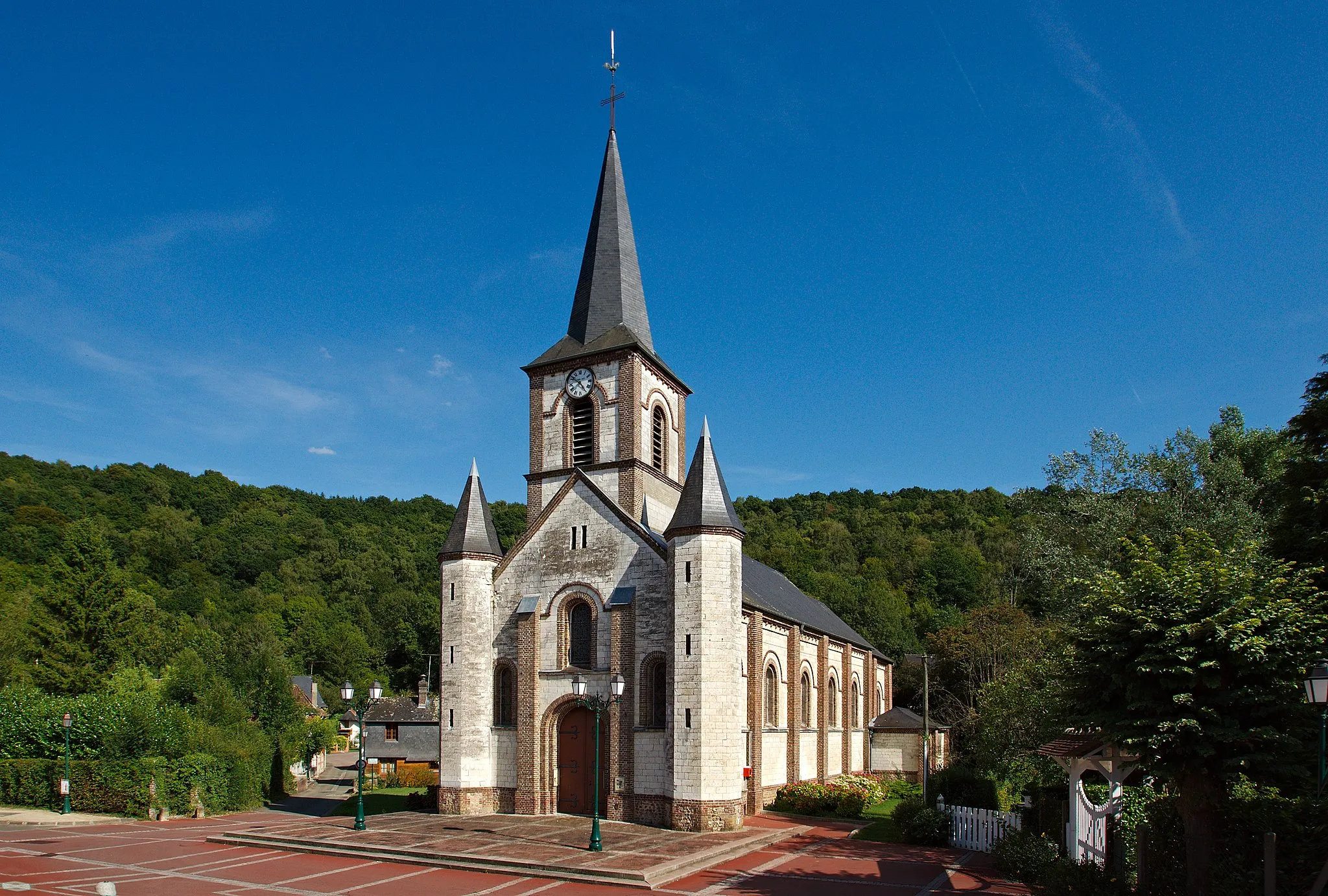
This cycling route is an epic adventure through the mesmerizing landscapes surrounding Saint-André-sur-Cailly. With a total distance of 112km and an ascent of 798m, it is recommended for well-trained cyclists seeking a challenging experience. The route offers a mix of stunning landscapes, quaint villages, and cultural attractions. Highlights include the village of Saint-André-sur-Cailly, known for its beautiful church and peaceful setting, and the Table d'orientation de la cote des deux amants viewpoint, offering panoramic views of the Seine valley. Immerse yourself in the cultural heritage of Mathonville and admire the unique charm of Beauvoir-en-Lyons and Ry. Préaux, with its picturesque surroundings and tranquility, is the perfect spot to unwind after an adventurous day of cycling. Overall, this route impresses with its natural beauty, historical richness, and challenging terrain.
Gravel Adventure to Oissel
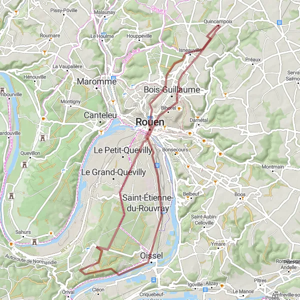
Embark on a thrilling gravel cycling adventure to the scenic town of Oissel.
The Gravel Adventure to Oissel is a gravel cycling route starting near Quincampoix. It spans 61 kilometers in distance and includes an ascent of 419 meters. The difficulty level of this route is moderate, suitable for experienced gravel cyclists. Explore the quaint villages of Bois-Guillaume, Sotteville-lès-Rouen, Mairie Oissel, Les Essarts, Rouen, Mont Fortin, and Isneauville as you journey through the diverse landscapes. Experience the thrill of gravel cycling while enjoying the natural beauty of the region.
Cycling routes nearby:

Nearby regions: