Gravel Route: Cycle through Provence-Alpes-Côte d’Azur
A gravel cycling route starting from Bras
Experience the beauty of Provence-Alpes-Côte d’Azur on this gravel route
Map
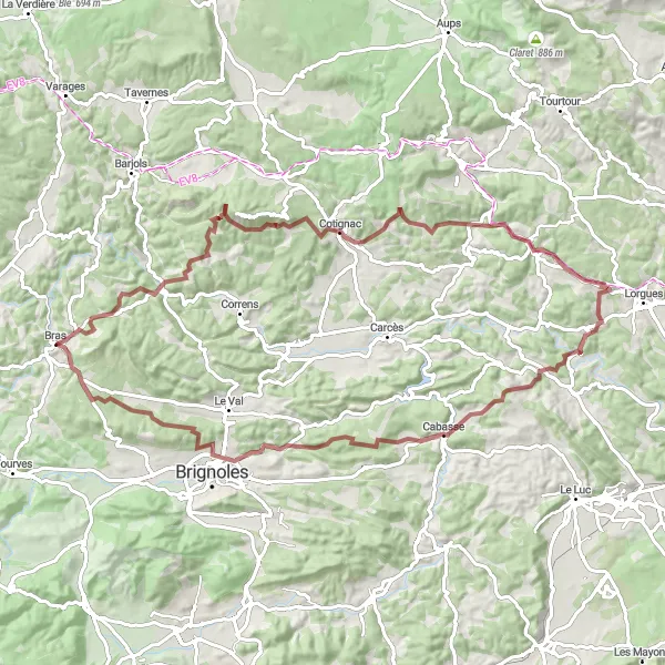
This gravel route takes you through the stunning scenery of Provence-Alpes-Côte d’Azur, providing a challenging yet rewarding cycling experience. With a total distance of 91 km and an ascent of 1582 meters, this route is suitable for well-trained amateurs looking for an adventurous ride. You will encounter several highlights along the route, including Collet de Baudusself, Châteauvert, Gros Bessillon, Cotignac, Colle de Gayean, Saint Jaume, Cabasse, La Croix, Le Castellas, and Brignoles. These highlights offer a glimpse into the rich history and natural beauty of the region.
gravel
91 km
1582 m
Tough
Route profile
Highlights on the route
0 km
0 km
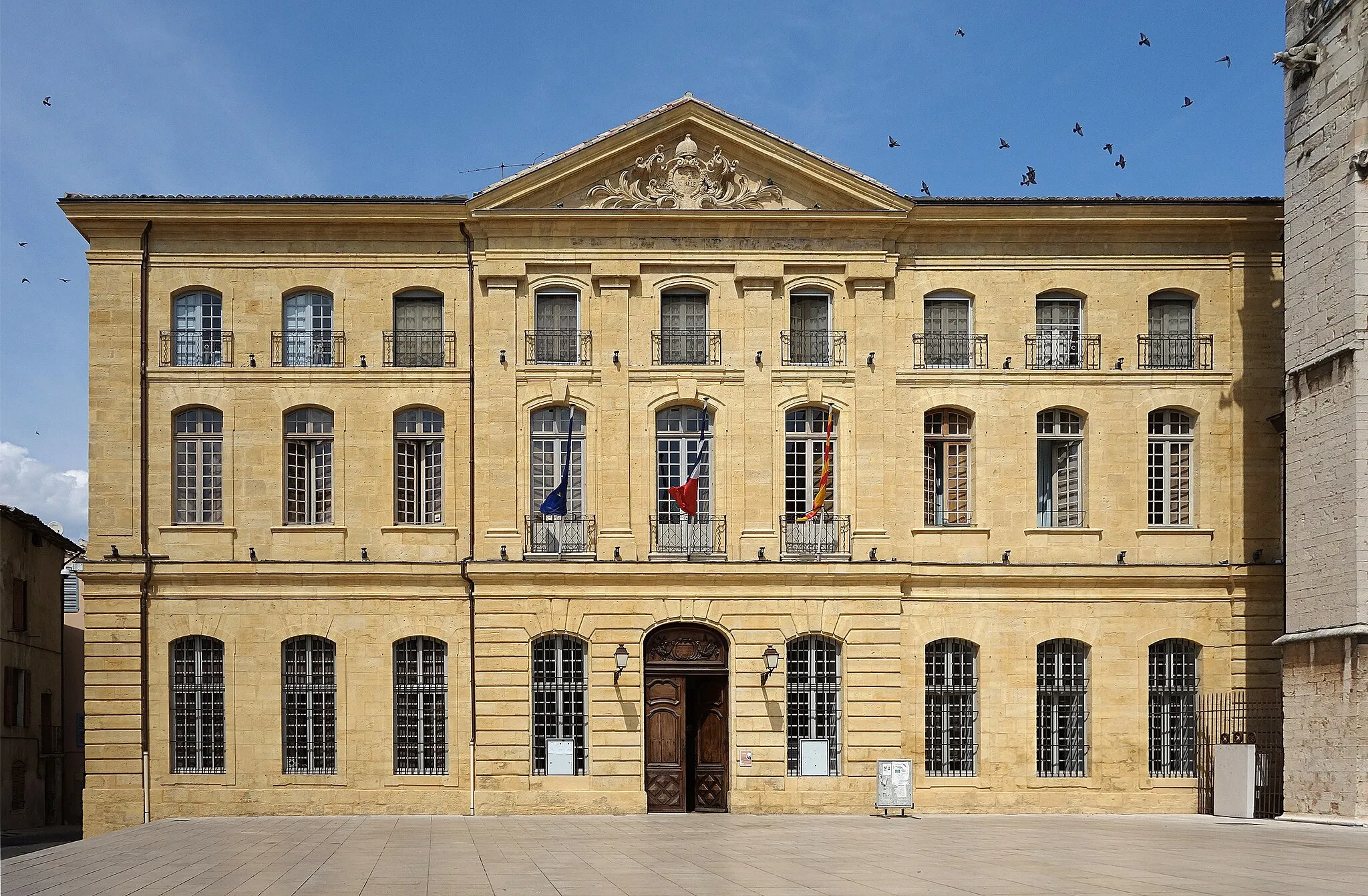
Start: Bras Village centerBras: Breathtaking routes across lavender fields with the legendary Mont Ventoux climb in Bras, France's Provence-Alpes-Côte d'Azur region.
Bras, located in France's Provence-Alpes-Côte d'Azur region, offers stunning cycling routes that cater to road and gravel cyclists. The locality presents a mix of flat sections and challenging hills, providing options for riders of all skill levels. Cyclists can enjoy scenic views of lavender fields, vineyards, and historic villages as they pedal through the area. Bras is also home to the famous climb of Mont Ventoux, attracting cyclists from around the world seeking to conquer its legendary slopes. With its breathtaking landscapes and the presence of Mont Ventoux, Bras is a cycling paradise for enthusiasts.7 km
7 km
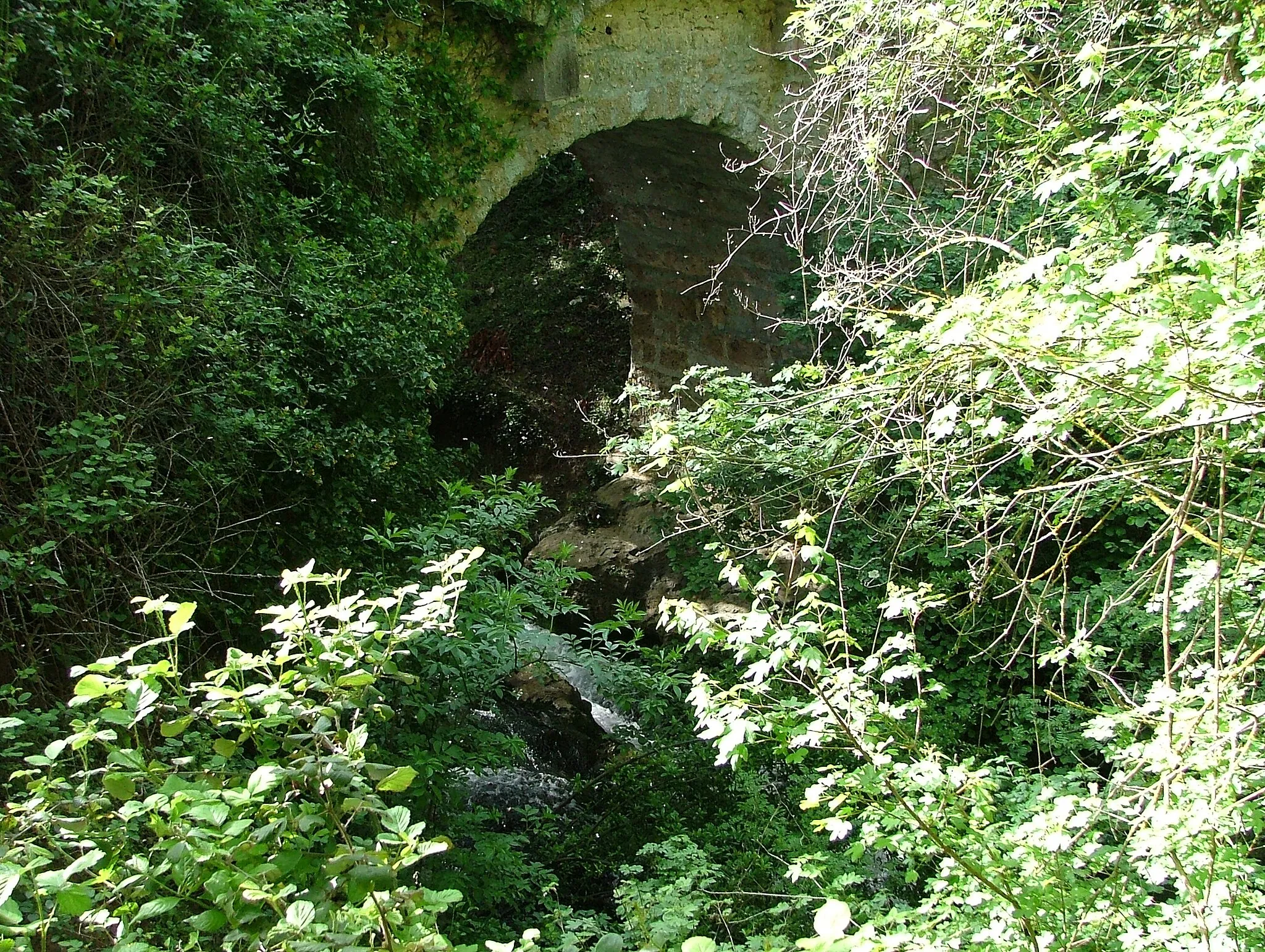
Collet de Baudusself313 mPeakLocated at a distance of 7 km on the route, Collet de Baudusself offers breathtaking panoramic views of the surrounding landscape.
8 km
8 km
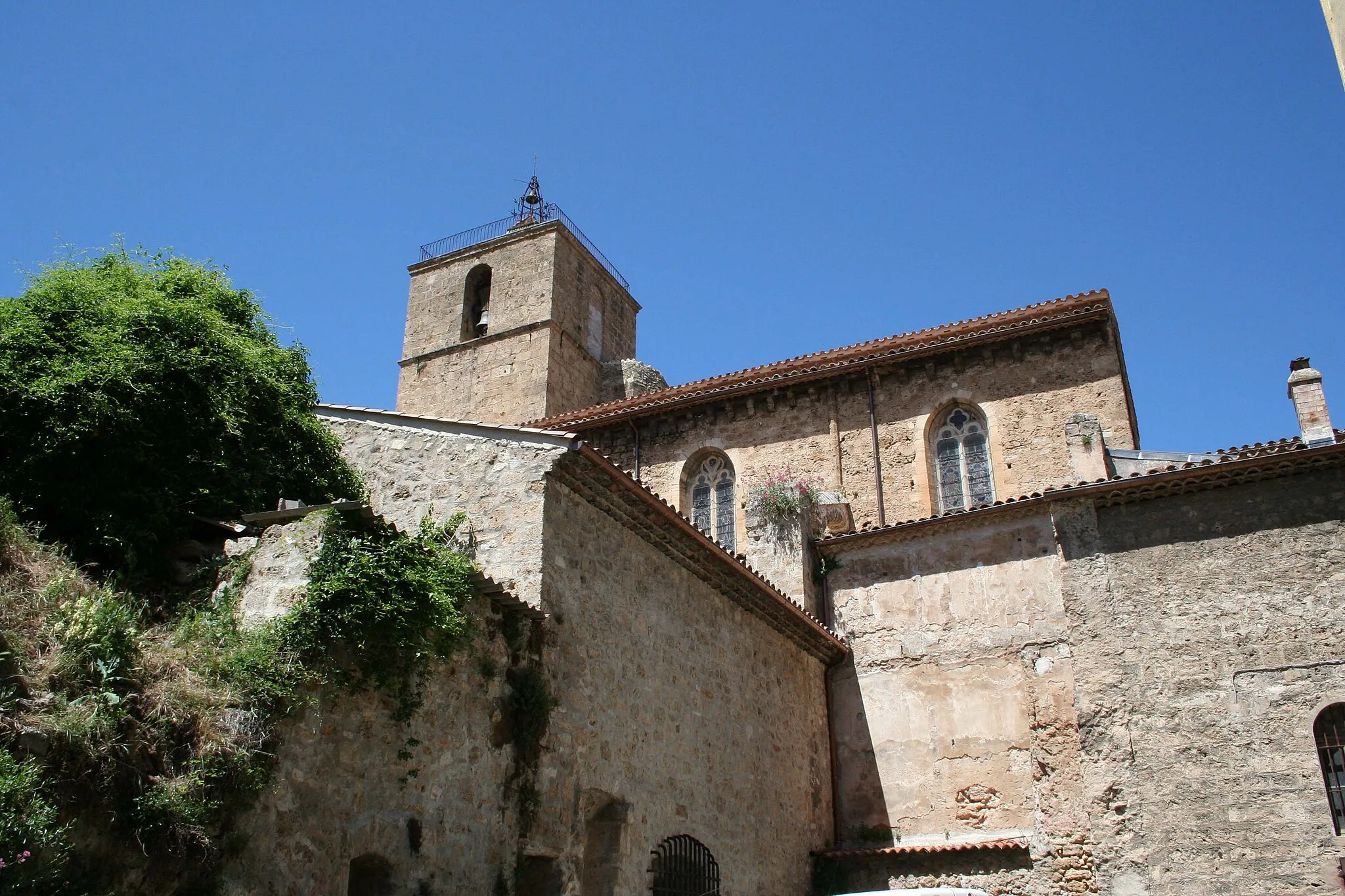
ChâteauvertVillageChâteauvert, located at a distance of 8 km, is known for its beautiful medieval village and stunning natural landscapes.
18 km
18 km
Gros Bessillon813 mPeak ViewpointGros Bessillon, located at a distance of 18 km, is a popular hiking spot with scenic trails and diverse flora and fauna.
26 km
26 km
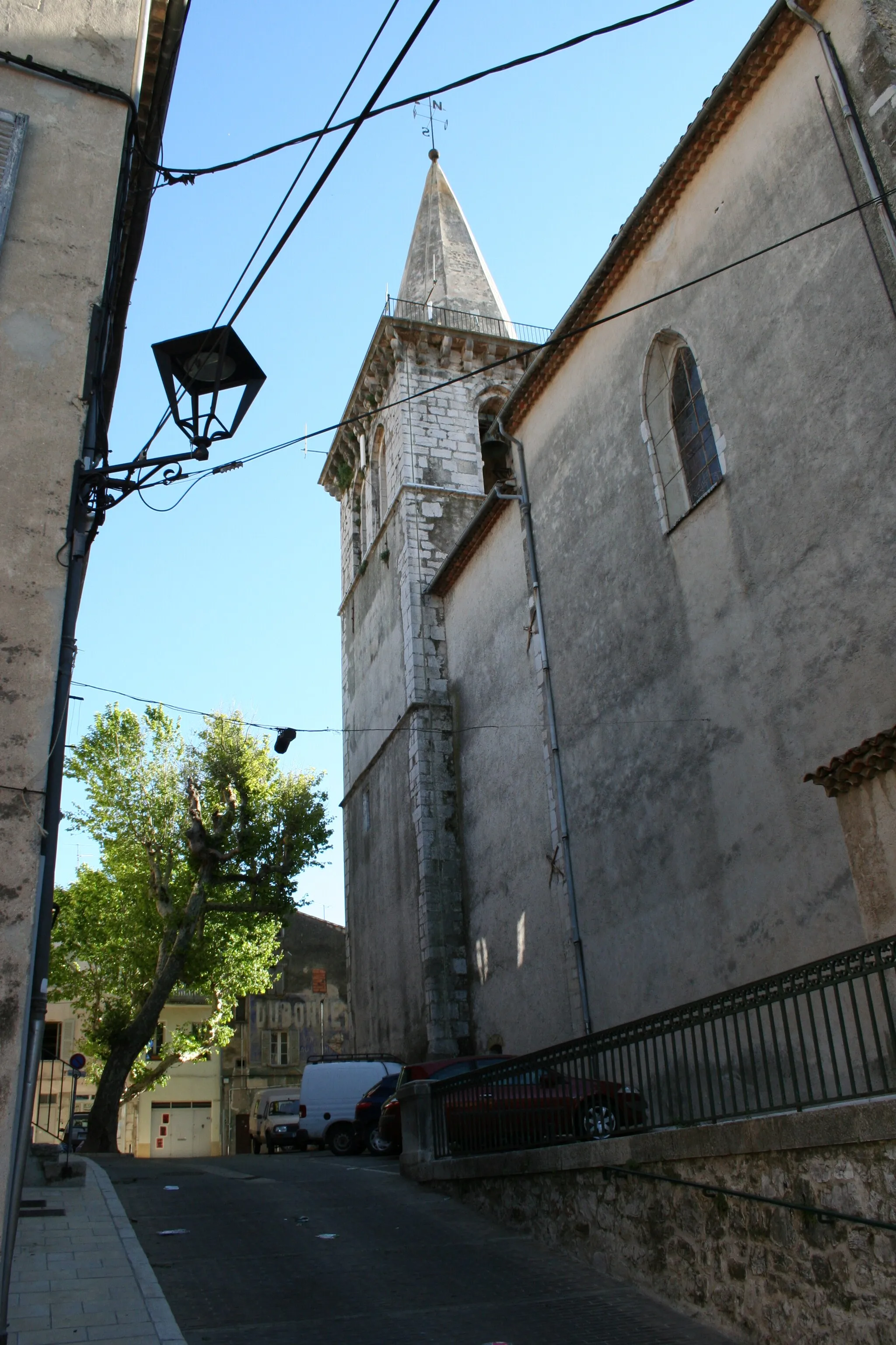
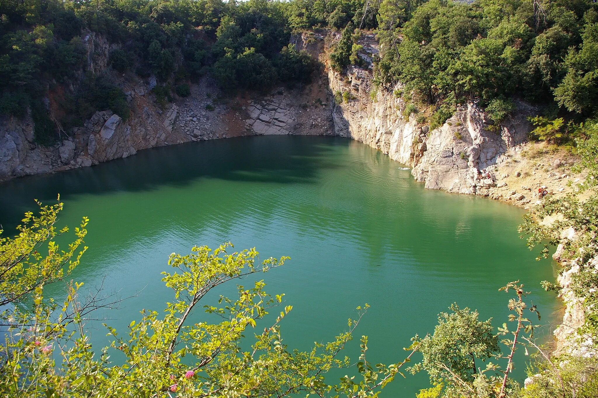
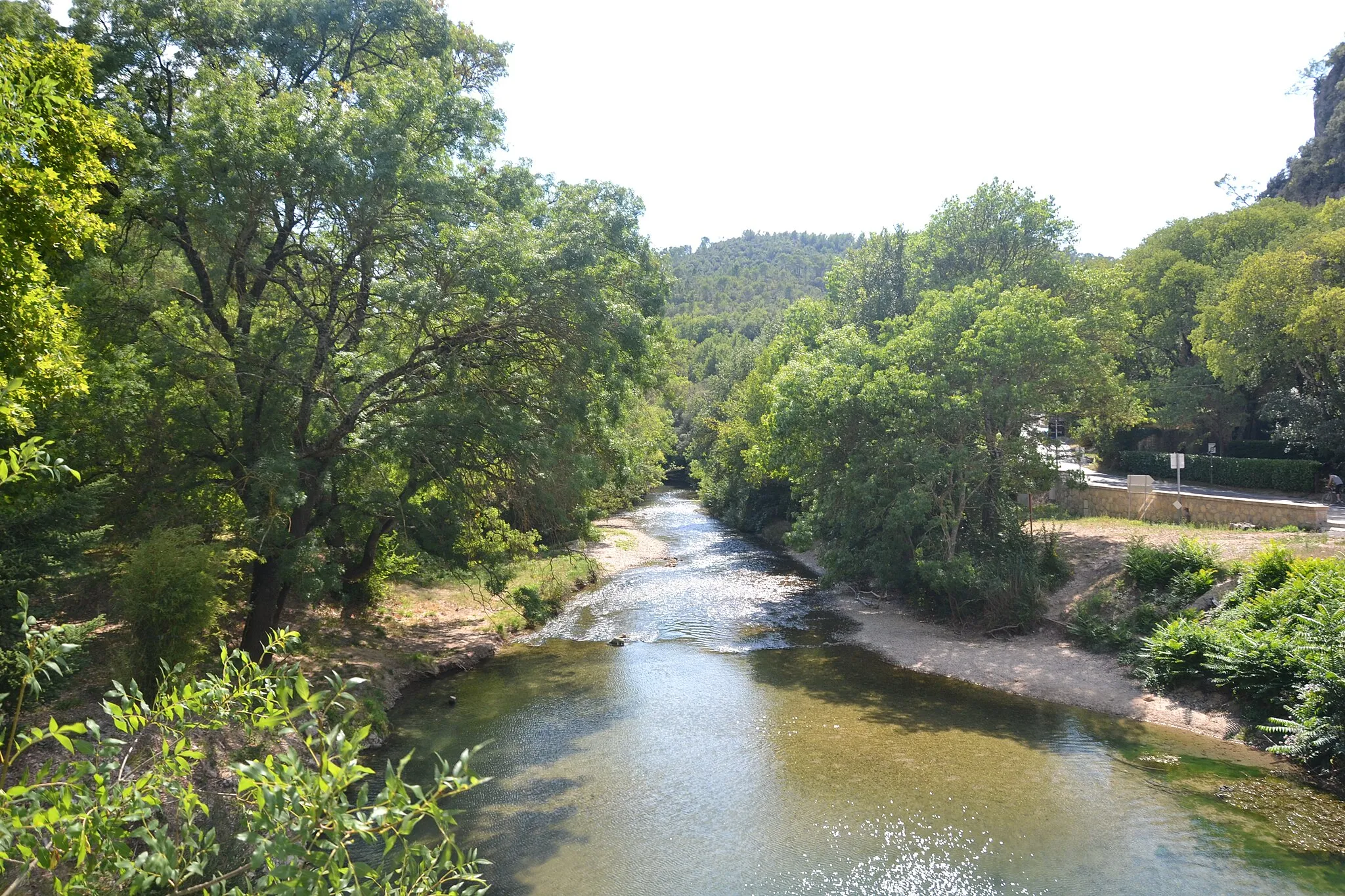
CotignacVillageCotignac, located at a distance of 26 km, is famous for its impressive cliffside caves and charming streets.
36 km
36 km
Colle de Gayean225 mPeakColle de Gayean, located at a distance of 36 km, offers a challenging climb and rewarding views from the top.
48 km
48 km
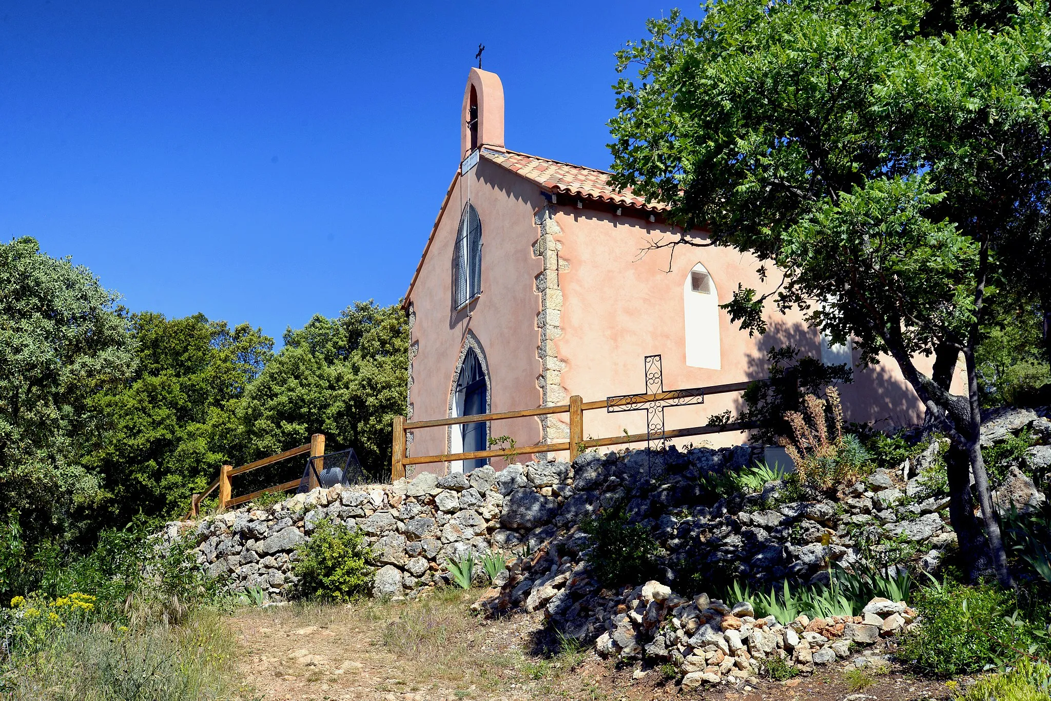
Saint JaumeHamletSaint Jaume, located at a distance of 48 km, is a serene village surrounded by beautiful vineyards and olive groves.
62 km
62 km
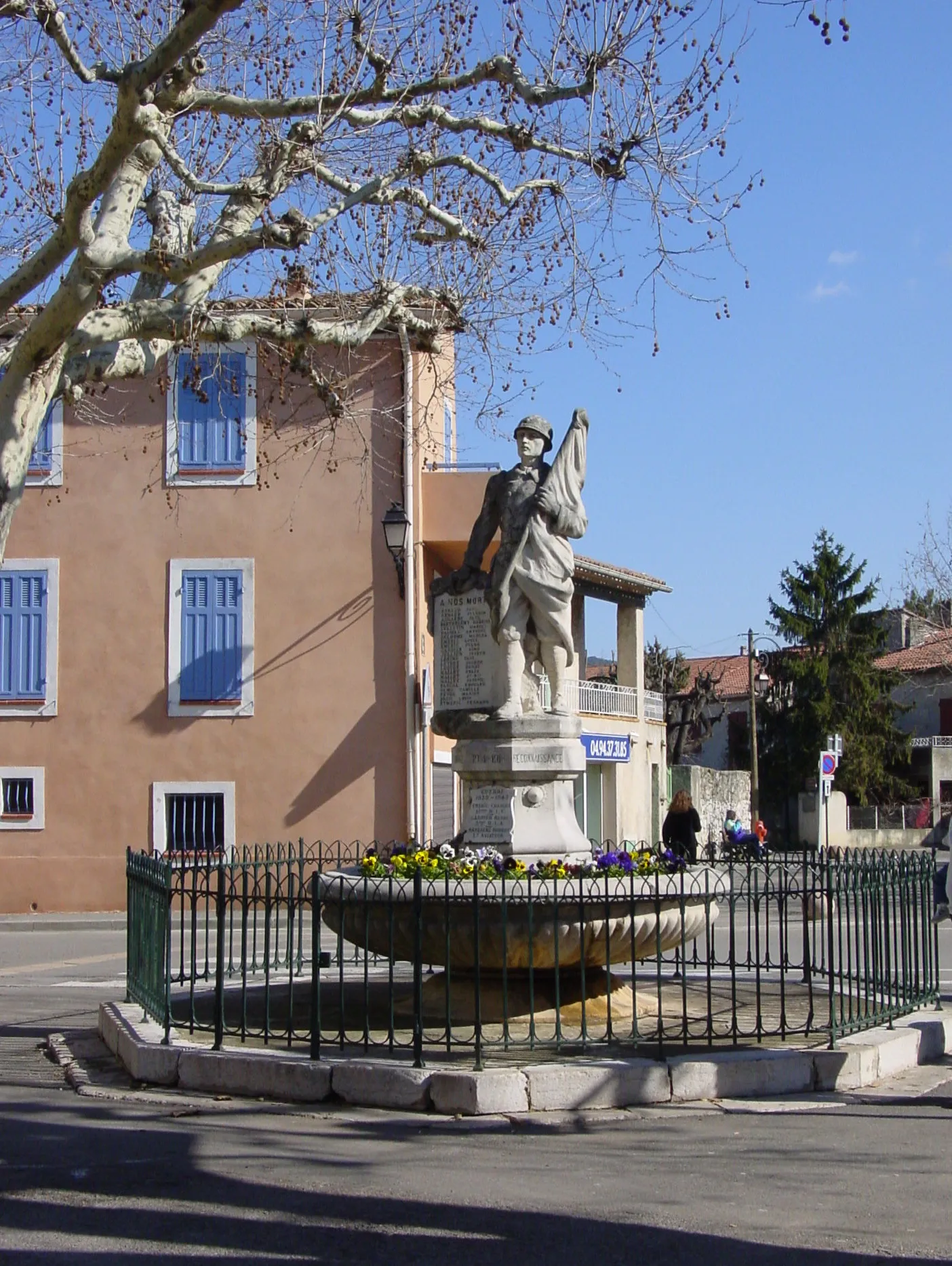
CabasseVillageCabasse, located at a distance of 62 km, is known for its picturesque hilltop village and historic architecture.
63 km
63 km
La Croix301 mPeakLa Croix, located at a distance of 63 km, is a small village with a charming church and quaint streets.
71 km
71 km
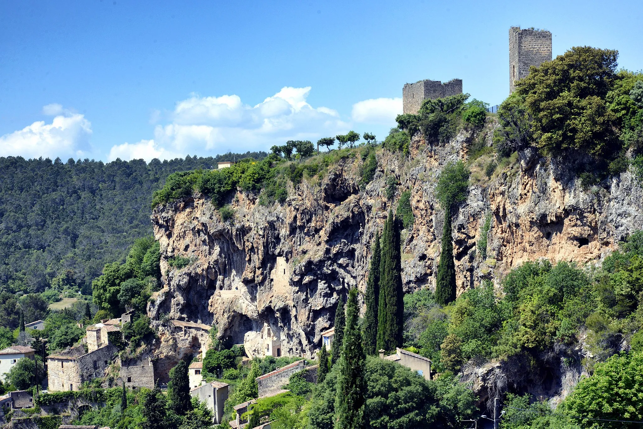
Le Castellas334 mPeakLe Castellas, located at a distance of 71 km, is a medieval castle with stunning views of the surrounding countryside.
77 km
77 km
BrignolesTownBrignoles, located at a distance of 77 km, is a historic town known for its medieval architecture and vibrant street markets.
91 km
91 km
Finish: Bras Village centerBras: Breathtaking routes across lavender fields with the legendary Mont Ventoux climb in Bras, France's Provence-Alpes-Côte d'Azur region.
Cycling routes from Bras:
Gravel Route: Cycle through Provence-Alpes-Côte d’Azur Gravel Route: Explore the Charm of Bras Vineyard Escapade Captivating Valleys Gravel Route: Discover the Hidden Gems of Bras Picturesque Provence Gravel Adventure Gravel Route: Explore the Natural Beauty of Bras Var Valley Loop Provence Panorama
Cycling routes nearby: