Provence Panorama
A road cycling route starting from Bras
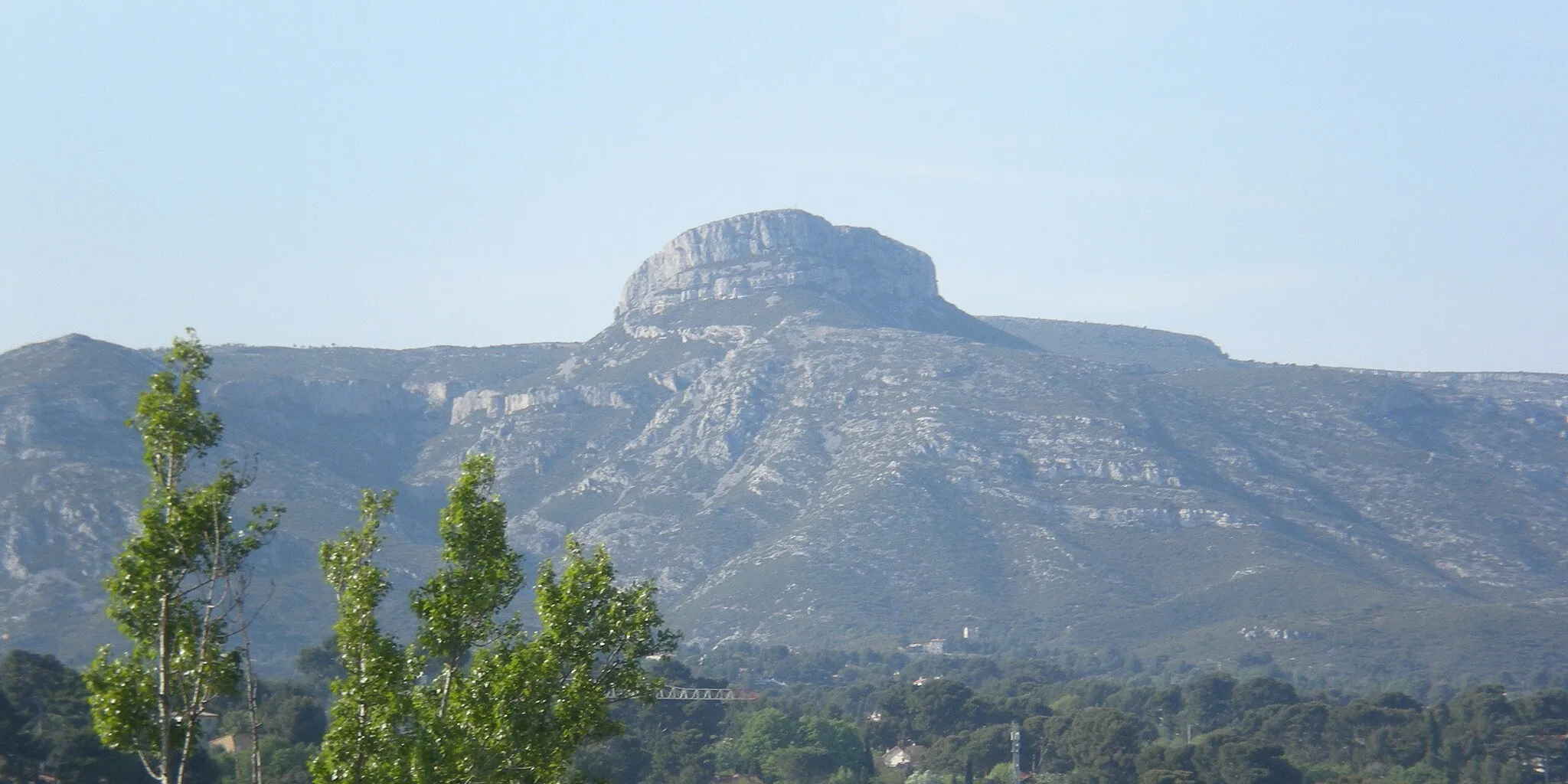
Explore the picturesque landscape of Provence with this panoramic cycling route.
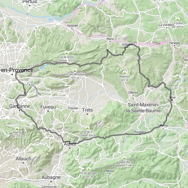
Map
Discover the beauty of Provence on this scenic cycling route. With a distance of 133 km and an ascent of 1971 m, this route offers challenging climbs and breathtaking views. Ride through charming villages like Chapelle Sainte-Estève, Piégu, and Saint-Zacharie, each with its own unique charm. Be sure to stop at the Point de Vue de Pergine, where you'll be rewarded with spectacular views over the countryside. The highlight of the route is La Citadelle, a historic fortress that offers a glimpse into the past. Overall, this route offers a rewarding experience for cycling enthusiasts.
road
133 km
1971 m
Tough
Route profile
Highlights on the route
0 km
0 km
Start: Bras Village centerBras: Breathtaking routes across lavender fields with the legendary Mont Ventoux climb in Bras, France's Provence-Alpes-Côte d'Azur region.
Bras, located in France's Provence-Alpes-Côte d'Azur region, offers stunning cycling routes that cater to road and gravel cyclists. The locality presents a mix of flat sections and challenging hills, providing options for riders of all skill levels. Cyclists can enjoy scenic views of lavender fields, vineyards, and historic villages as they pedal through the area. Bras is also home to the famous climb of Mont Ventoux, attracting cyclists from around the world seeking to conquer its legendary slopes. With its breathtaking landscapes and the presence of Mont Ventoux, Bras is a cycling paradise for enthusiasts.10 km
10 km
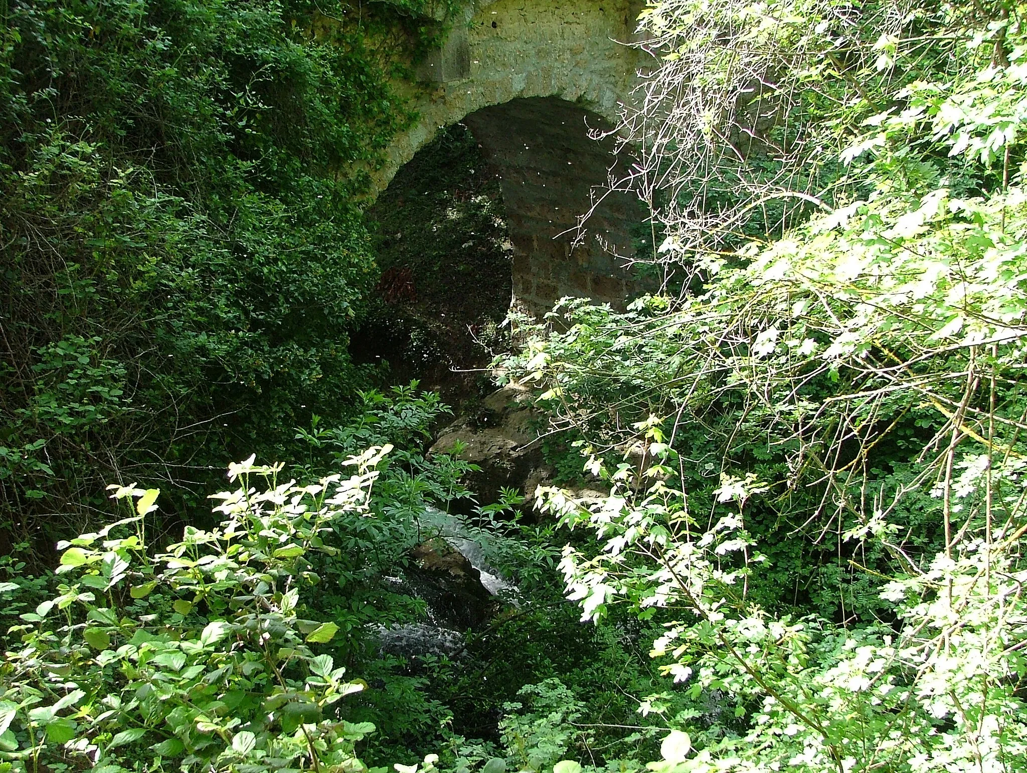
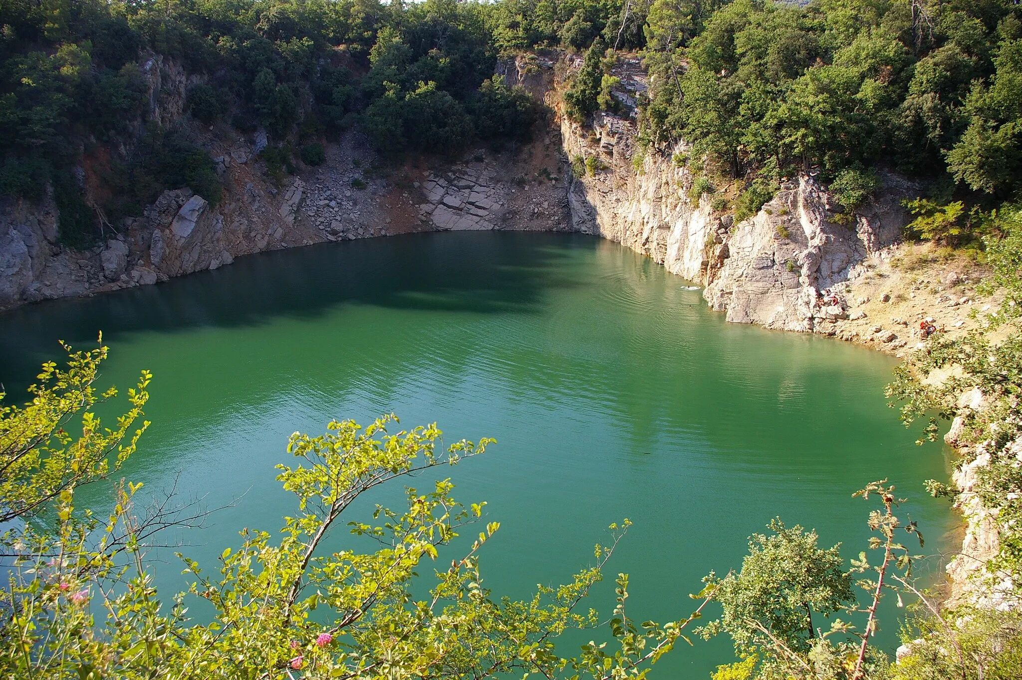
Chapelle Sainte-Estève (ruines)Castle RuinsExplore the charming ruins of Chapelle Sainte-Estève.
16 km
16 km
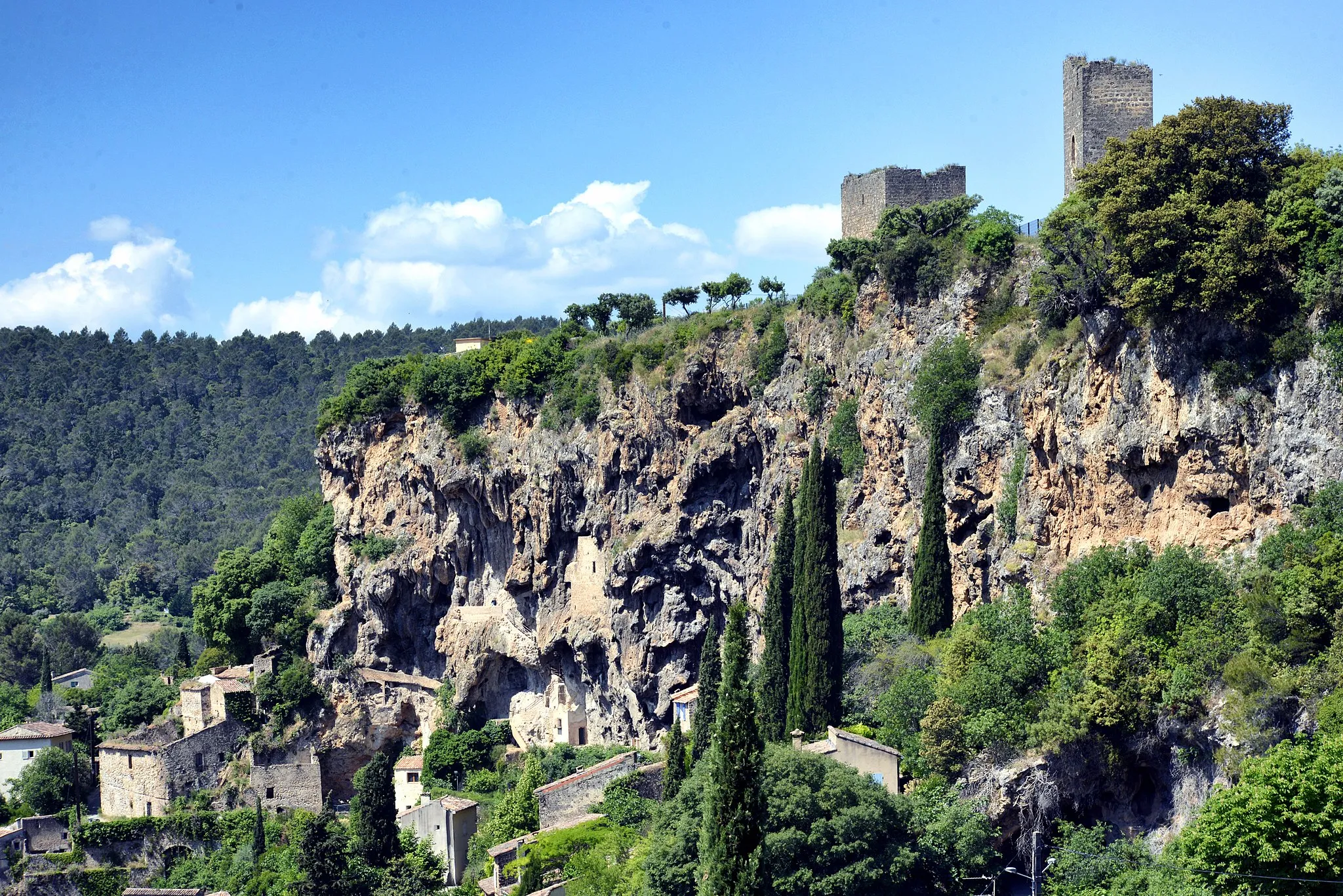
Piégu618 mPeakEnjoy the peacefulness and tranquility of Piégu.
28 km
28 km
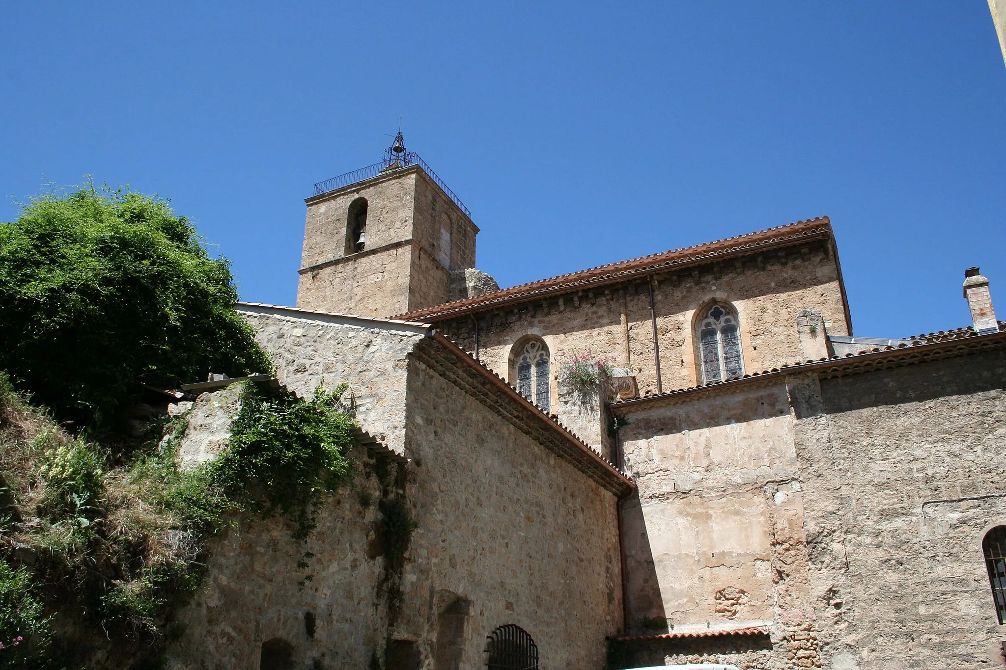
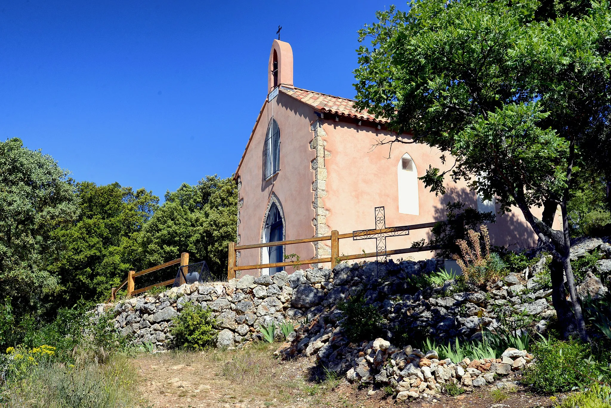
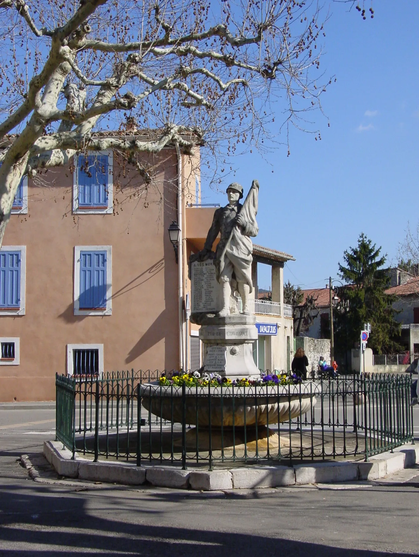
Saint-ZacharieVillageDiscover the historic village of Saint-Zacharie.
47 km
47 km
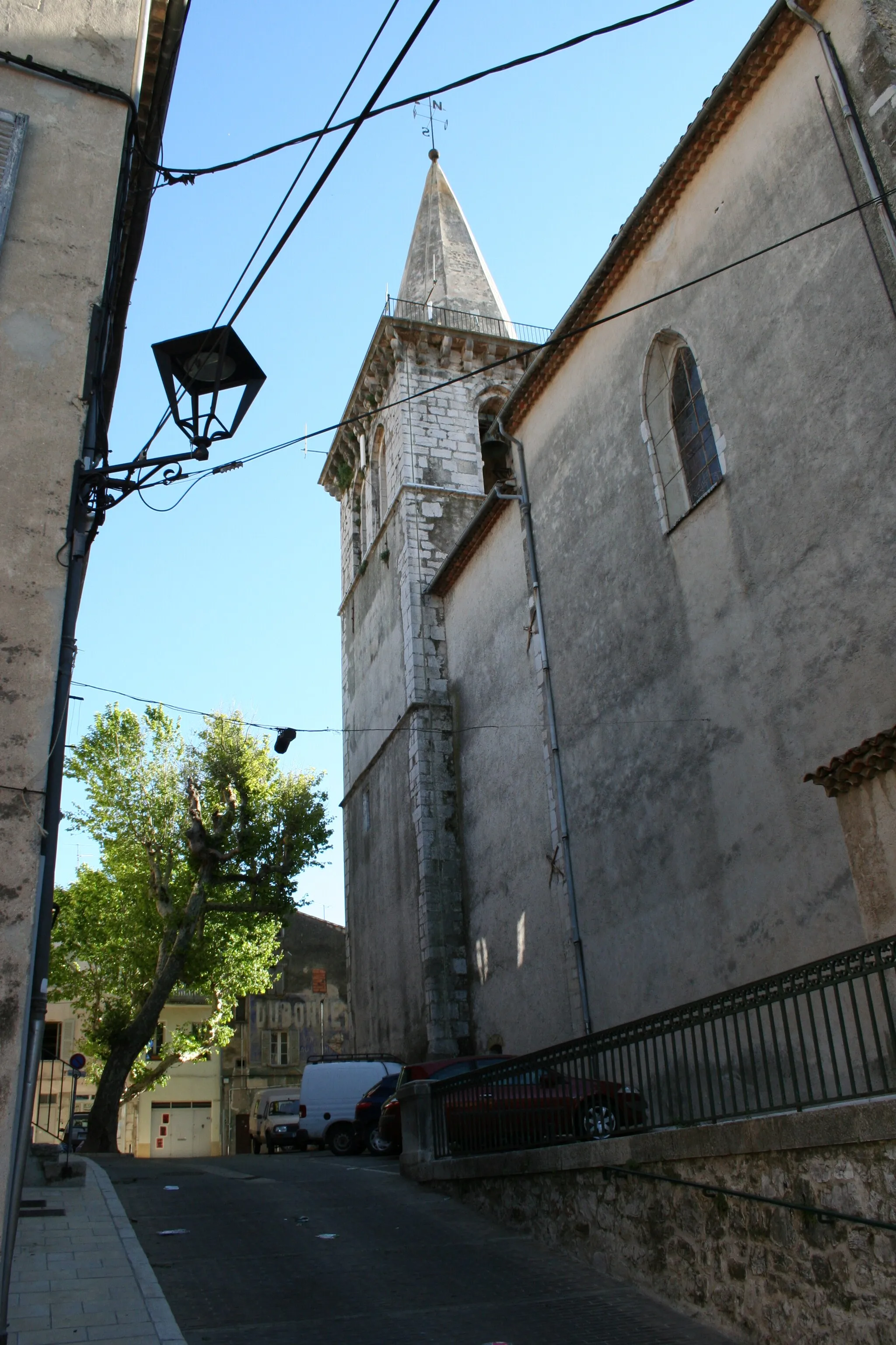
Saint-SavourninVillagePass through the scenic village of Saint-Savournin.
49 km
49 km
Point de Vue de PergineViewpointTake in the breathtaking views from Point de Vue de Pergine.
61 km
61 km
MeyreuilVillageVisit the charming village of Meyreuil.
74 km
74 km
Saint-Marc-JaumegardeVillageImmerse yourself in the beauty of Saint-Marc-Jaumegarde.
86 km
86 km
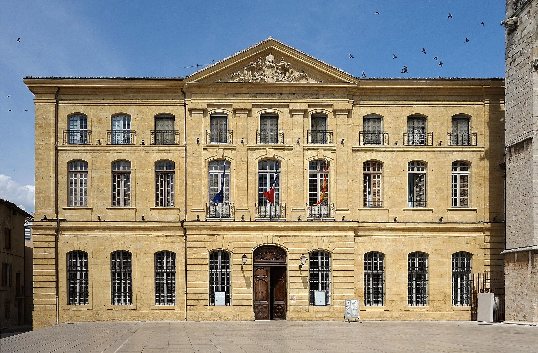
La citadelle720 mPeakExplore the historic citadel of Aix-en-Provence.
105 km
105 km
ArtiguesVillageMarvel at the natural beauty of Artigues.
108 km
108 km
L'Éouvière572 mPeakAdmire the picturesque scenery of L'Éouvière.
123 km
123 km
Seillons-Source-d'ArgensVillageDiscover the charming village of Seillons-Source-d'Argens.
131 km
131 km
Collet de la Gérade315 mPeakConquer the challenging climb of Collet de la Gérade.
133 km
133 km
Finish: Bras Village centerBras: Breathtaking routes across lavender fields with the legendary Mont Ventoux climb in Bras, France's Provence-Alpes-Côte d'Azur region.
Cycling routes from Bras:
Gravel Route: Cycle through Provence-Alpes-Côte d’Azur Gravel Route: Explore the Charm of Bras Vineyard Escapade Captivating Valleys Gravel Route: Discover the Hidden Gems of Bras Picturesque Provence Gravel Adventure Gravel Route: Explore the Natural Beauty of Bras Var Valley Loop Provence Panorama
Cycling routes nearby: