Conquer Mont Ventoux in Provence-Alpes-Côte d’Azur.
Cycling routes from Saint-Maximin-la-Sainte-Baume
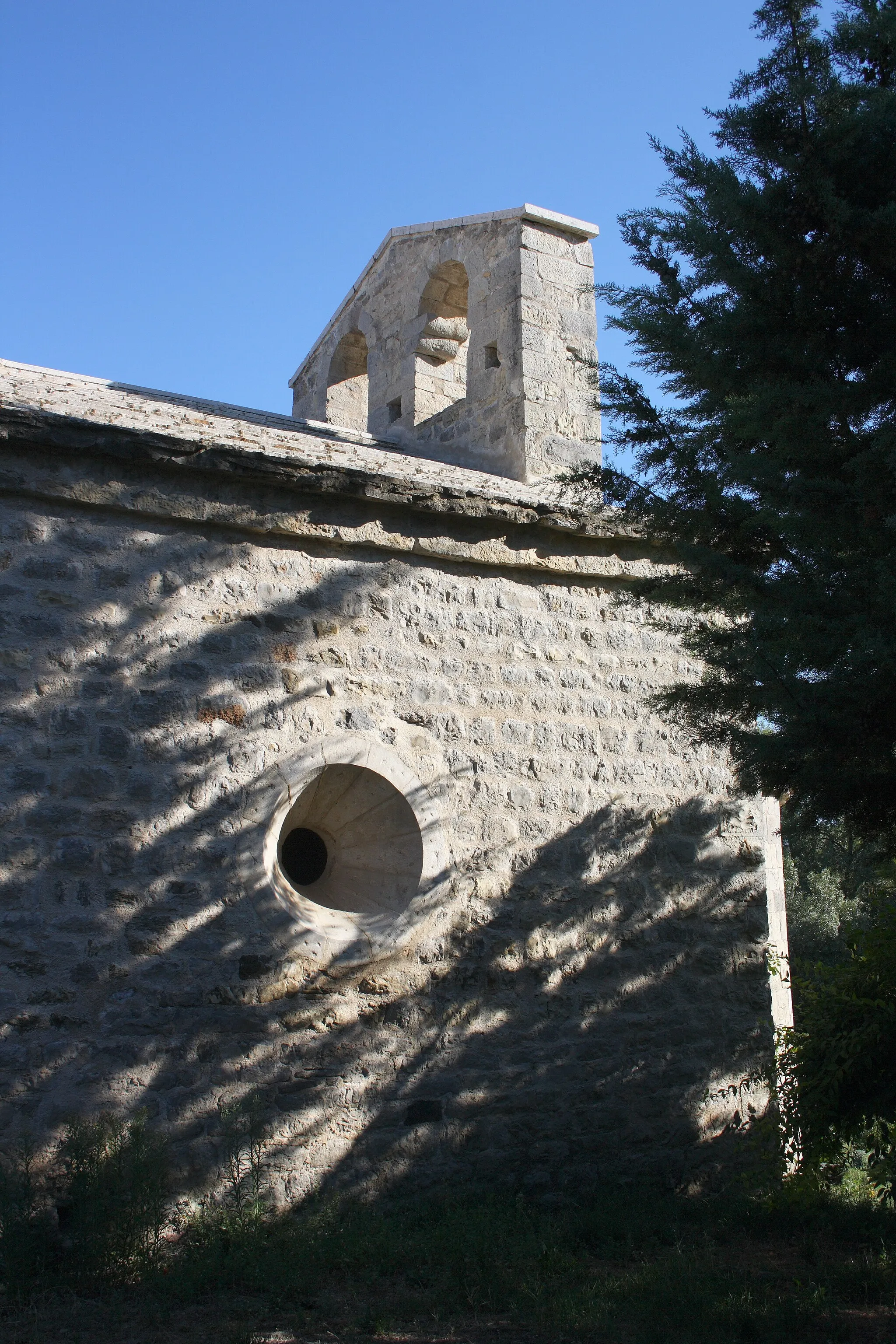
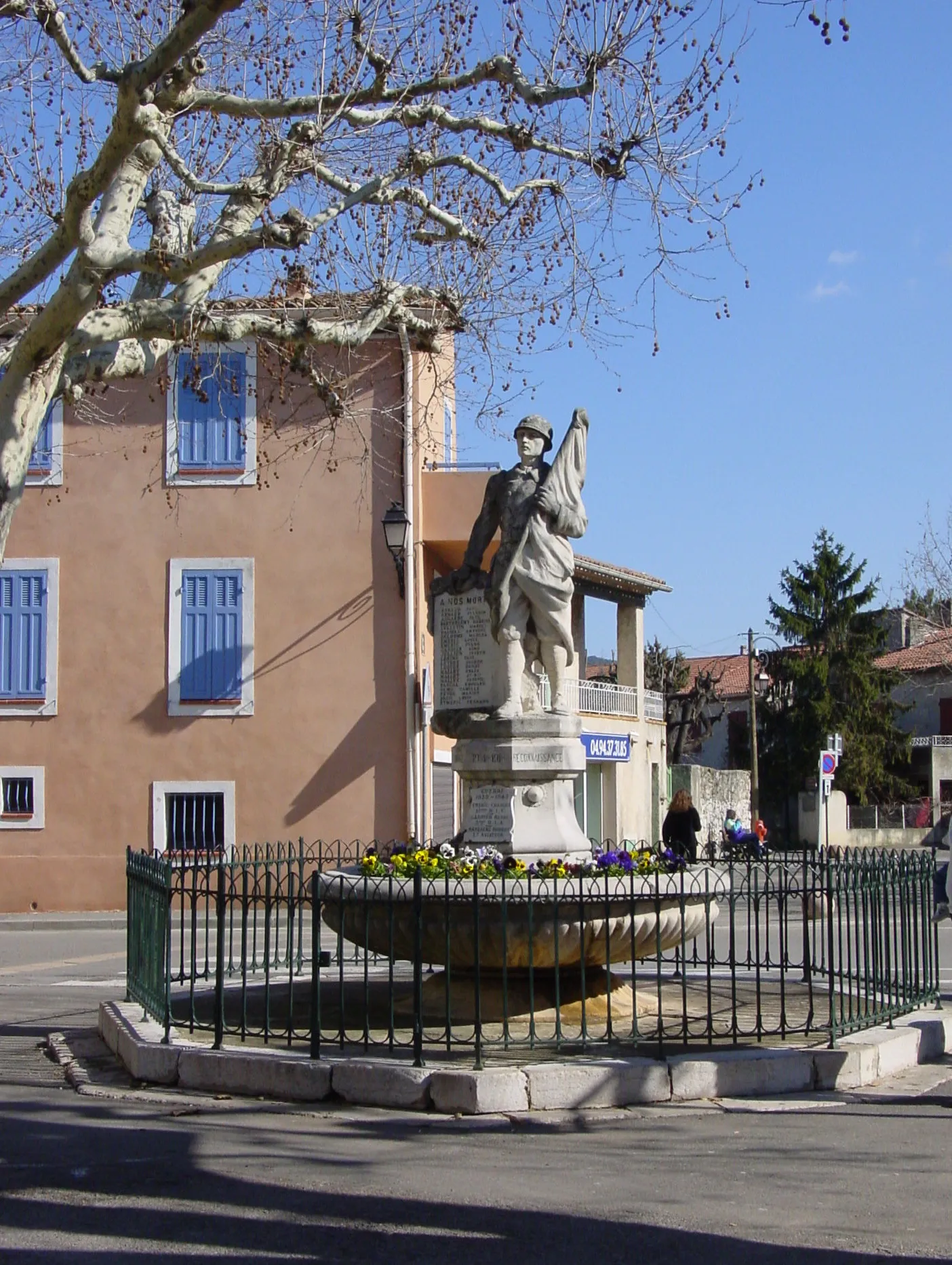
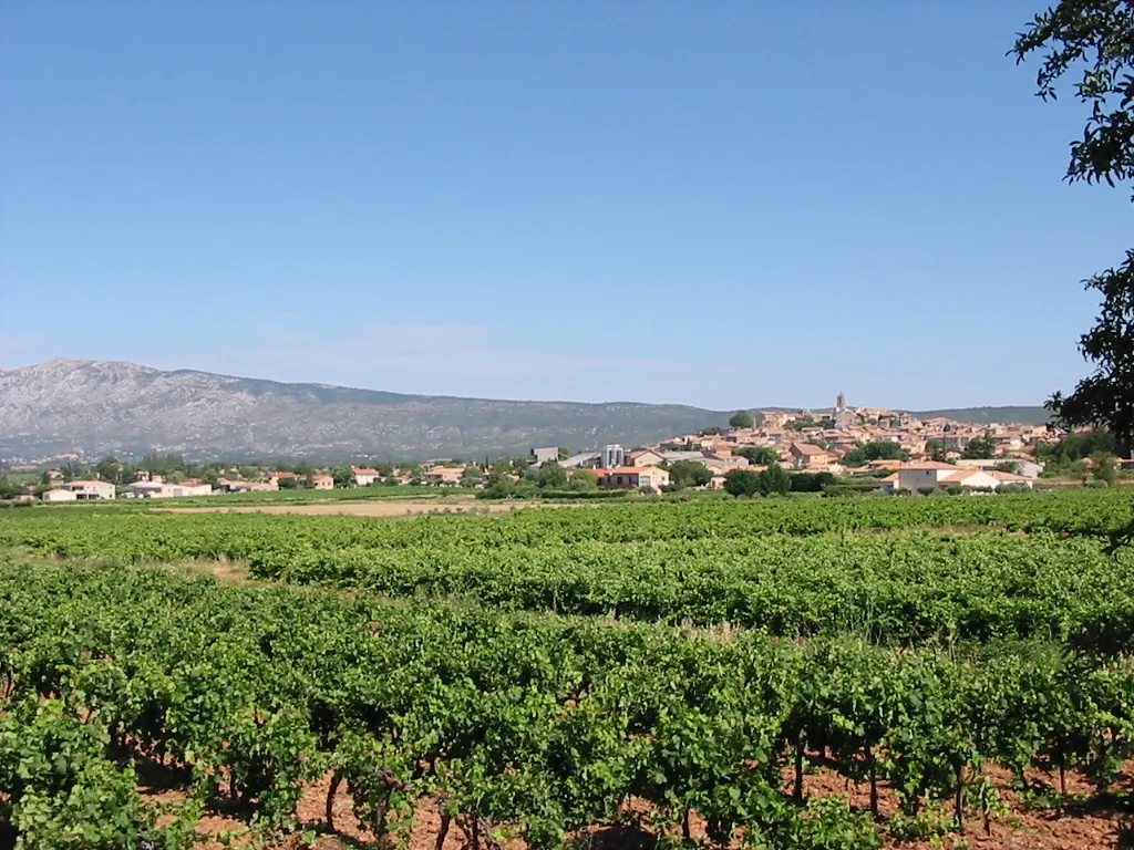
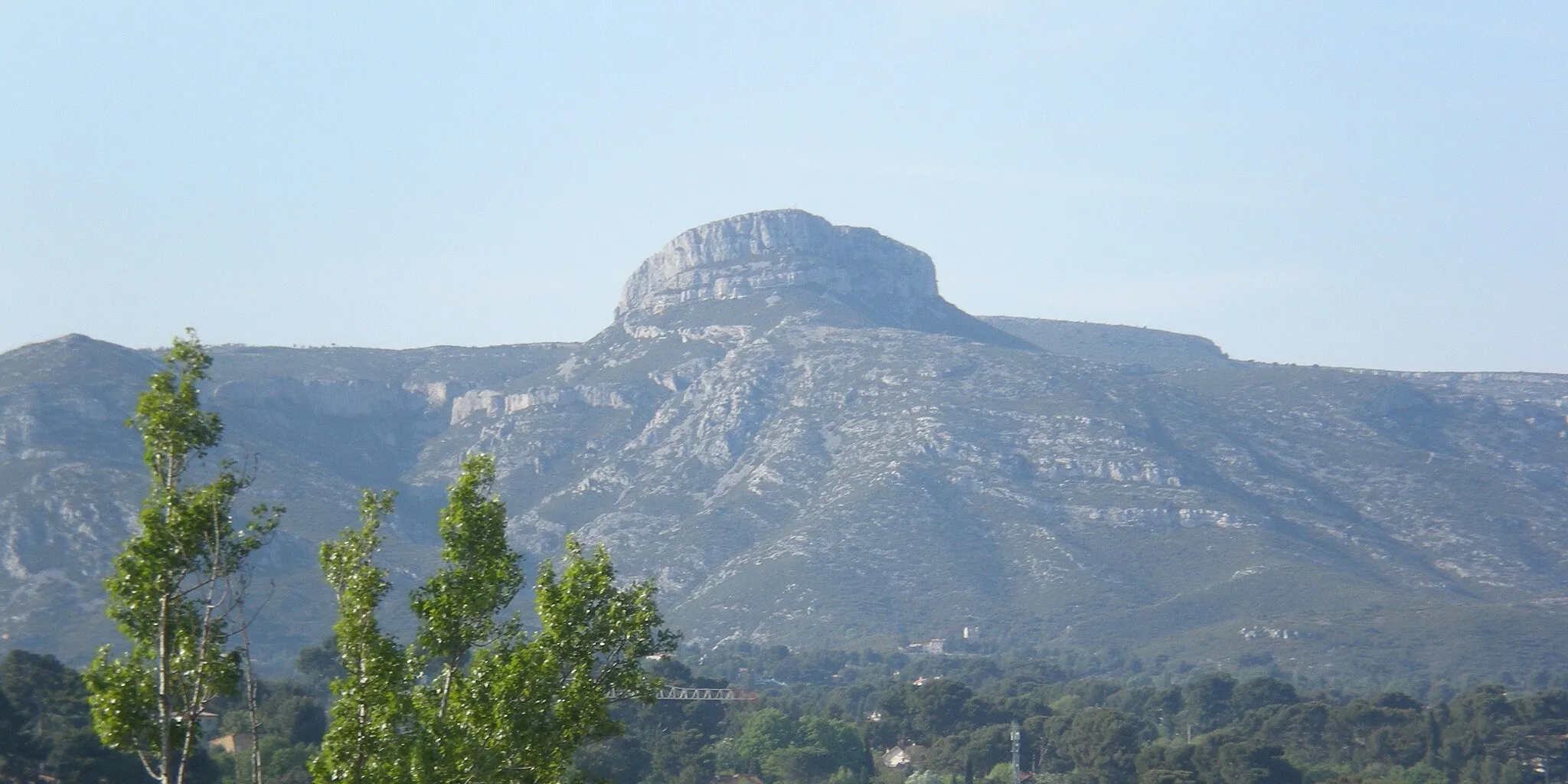
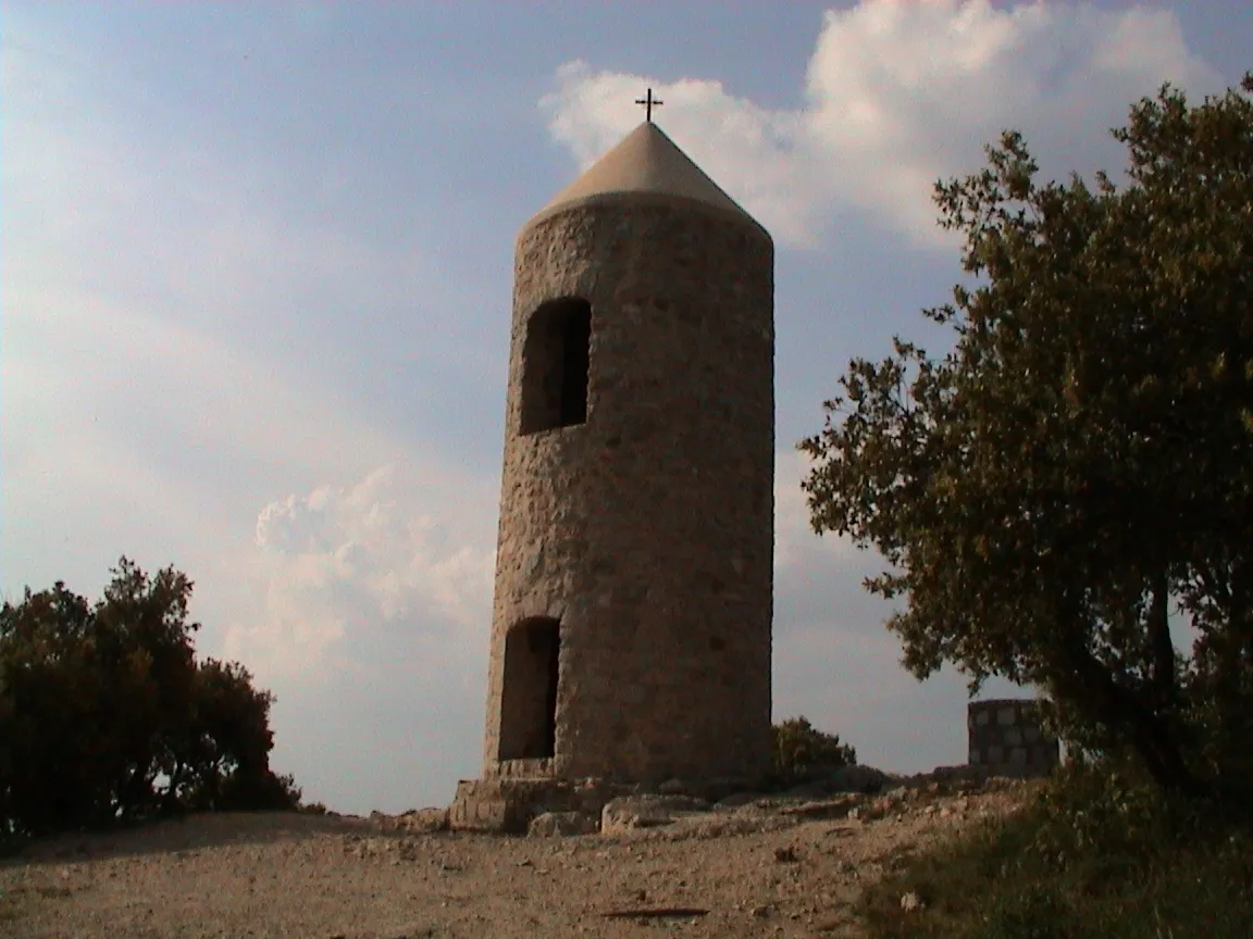
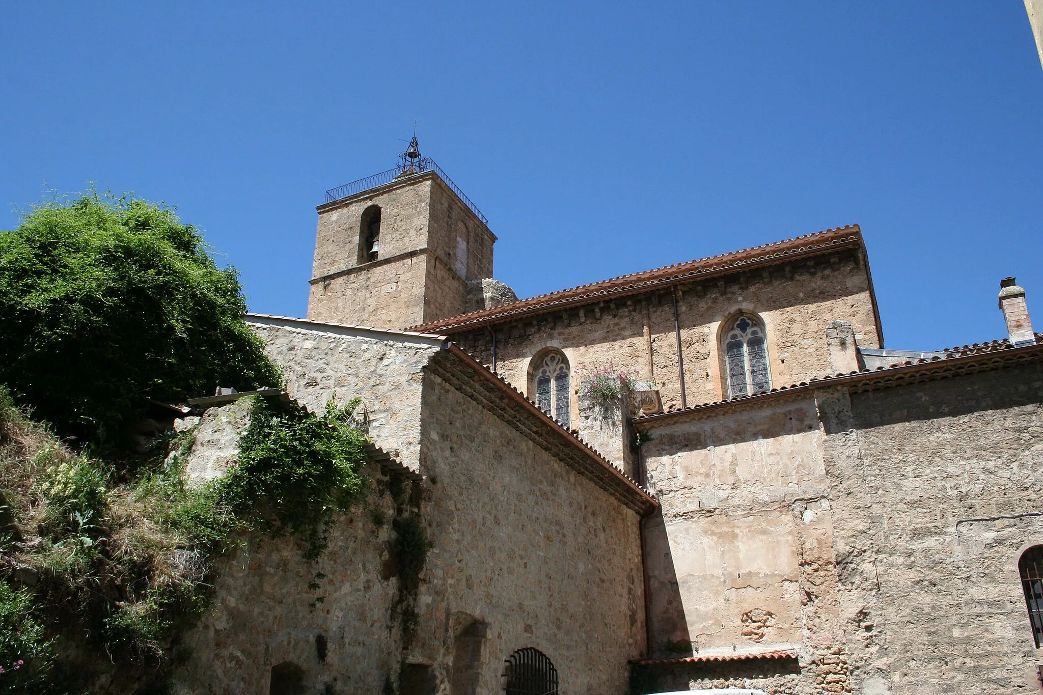
Saint-Maximin-la-Sainte-Baume is located in the Provence-Alpes-Côte d’Azur region of France. From a cyclist's perspective, the locality offers a mix of road and gravel cycling routes. The area is characterized by hilly terrain and winding roads, making it suitable for intermediate to advanced cyclists. One of the famous climbs in the region is Mont Ventoux, which is around an hour's drive from Saint-Maximin-la-Sainte-Baume. Apart from the iconic climb, cyclists can also explore the beautiful countryside and visit the Saint-Maximin Basilica. Overall, Saint-Maximin-la-Sainte-Baume is a popular destination for cyclists, especially those looking to conquer Mont Ventoux, in the Provence-Alpes-Côte d’Azur region.
Discover the scenic roads around Saint-Maximin-la-Sainte-Baume
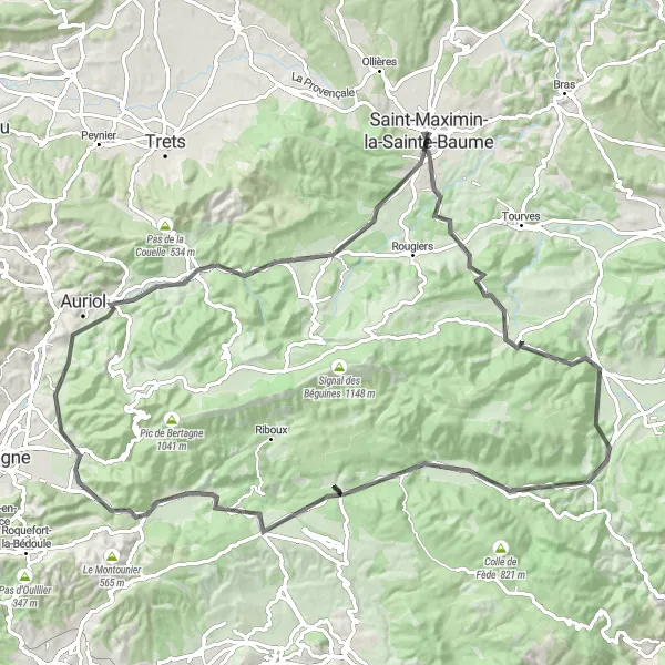
Embark on a cycling adventure through picturesque landscapes and charming villages with this road route near Saint-Maximin-la-Sainte-Baume. Spanning 99 km and with an ascent of 1338 m, this route caters to intermediate to advanced cyclists seeking a challenging and rewarding experience. Take in the breathtaking views as you pass by Casteleret and Mazaugues, two small villages known for their tranquil atmosphere and stunning surroundings. Explore the enchanting Pey Rediaque, a highlight that showcases the natural beauty of the region. Continue your journey through Méounes-lès-Montrieux, a picturesque village with narrow streets and old stone houses. The Sainte-Croix is a notable highlight, offering a challenging climb and panoramic views. Don't miss the opportunity to visit Le Camp du Castellet, an ancient campsite atop the mountain, before descending to Gémenos and Saint-Zacharie. Return to Saint-Maximin-la-Sainte-Baume, where your cycling adventure concludes.
Belgentier Gravel
An exciting gravel cycling route with diverse scenery
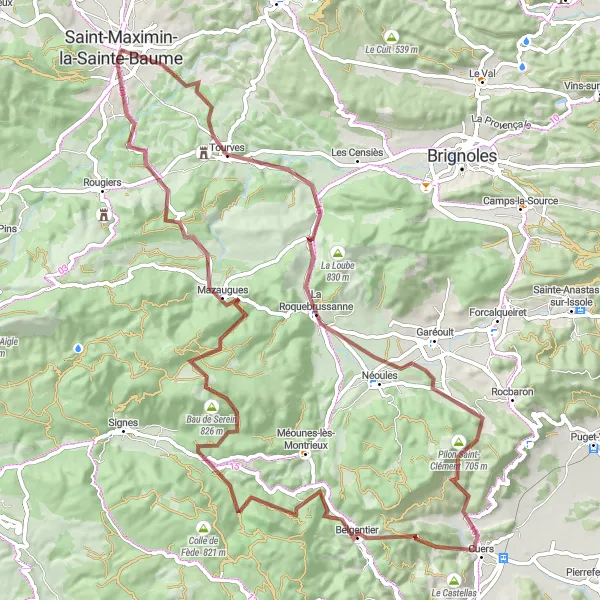
Explore the natural beauty of Provence-Alpes-Côte d'Azur with the Belgentier Gravel route starting near Saint-Maximin-la-Sainte-Baume. This exciting gravel cycling adventure takes cyclists through diverse landscapes, including Provençal villages, rolling hills, and forested areas. Enjoy the thrill of off-road riding as you navigate the challenging terrain and discover hidden gems along the way. With a total ascent of 1668m and a distance of 90km, the Belgentier Gravel is a great option for cyclists looking to explore the region's natural beauty on two wheels. Get ready for an adrenaline-pumping adventure through picturesque scenery.
Discover the rugged beauty of Provence on this challenging gravel route
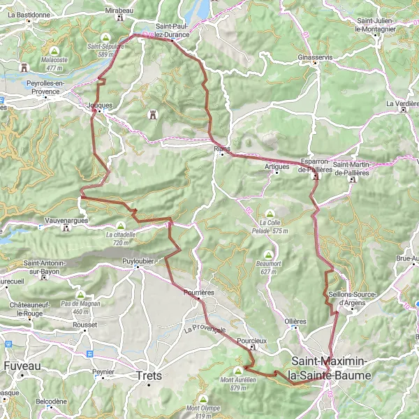
Embark on a breathtaking gravel adventure from Saint-Maximin-la-Sainte-Baume to Mont Aurélien. With a total ascent of 1,717 meters and a distance of 100 kilometers, this route will test your endurance and reward you with stunning views of the Provençal countryside. Start your journey in Saint-Maximin-la-Sainte-Baume and make your way towards Mont Aurélien, conquering highlights such as Pourcieux, Collet du Pouchon, Col du Grand Sambuc, and Jouques along the way. Don't miss the chance to cross the ancient Pont de Mirabeau over the Durance river before reaching your final destination. This gravel route is suitable for experienced cyclists looking for an adrenaline-filled adventure.
Toulon Adventure
A challenging road cycling route with a diverse range of landscapes
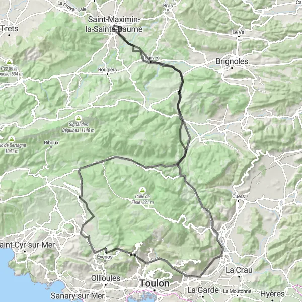
Embark on the Toulon Adventure, a challenging road cycling route starting near Saint-Maximin-la-Sainte-Baume. This route showcases the diverse landscapes of the region, from rugged mountains to picturesque coastline. Cyclists will take on exhilarating climbs, including the iconic Mont Faron, and pass through charming towns along the way. With a total ascent of 1832m and a distance of 126km, the Toulon Adventure is an epic journey for experienced cyclists seeking both physical and visual challenges. Marvel at the beauty of Provence-Alpes-Côte d'Azur as you pedal your way through this unforgettable cycling route.
Embark on an unforgettable road cycling adventure with breathtaking views
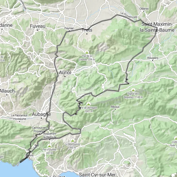
Take on the challenge of this road cycling adventure from Saint-Maximin-la-Sainte-Baume to Col de l'Espigoulier. With an ascent of 1,873 meters and a distance of 124 kilometers, this route is perfect for seasoned cyclists looking for a thrilling ride. Start your journey in Saint-Maximin-la-Sainte-Baume and make your way towards Col de l'Espigoulier, passing through highlights such as Collet de Fouque, Plan-d'Aups-Sainte-Baume, and the picturesque Col de l'Ange. Enjoy breathtaking views of the surrounding mountains and valleys as you explore the stunning Provençal countryside. Don't miss the chance to visit Cassis, a scenic coastal town, before completing your epic adventure in Saint-Maximin-la-Sainte-Baume. Get ready for an exhilarating road cycling experience.
Embark on a scenic road cycling journey near Saint-Maximin-la-Sainte-Baume
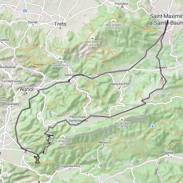
Experience the beauty of the Provence-Alpes-Côte d’Azur region with this road cycling route near Saint-Maximin-la-Sainte-Baume. Spanning 81 km and with an ascent of 1461 m, this route is perfect for experienced cyclists seeking a challenge. Discover the charm of Rougiers, a small village known for its traditional Provençal architecture, before tackling the Signal des Béguines, a famous climb offering breathtaking views. As you pedal through Plan-d'Aups-Sainte-Baume, you'll be immersed in the stunning natural landscapes and picturesque villages. The Col de l'Espigoulier is a highlight that will test your climbing skills, rewarding you with panoramic views at the summit. The route also includes Mont Cruvelier, Gémenos, and the col de Saucette, each offering unique experiences along the way. Finally, return to Saint-Maximin-la-Sainte-Baume, where your journey began.
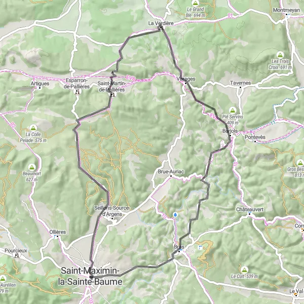
Enjoy a scenic road cycling route filled with picturesque landscapes
Experience the beauty of Provence on this scenic road cycling route from Saint-Maximin-la-Sainte-Baume to Seillons-Source-d'Argens. With an ascent of 839 meters and a distance of 66 kilometers, this route is suitable for cyclists of intermediate skill level. Begin your journey in Saint-Maximin-la-Sainte-Baume and ride towards Seillons-Source-d'Argens, passing highlights such as Colles Gacharelles, Saint-Martin-de-Pallières, and Varages. Immerse yourself in the stunning landscapes of the Provençal countryside as you pedal through this charming region. Don't forget to visit the picturesque town of Barjols, known for its waterfalls and unique art installations. Complete your cycling adventure back in Saint-Maximin-la-Sainte-Baume, a lively town with a rich cultural heritage.
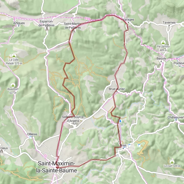
Explore the beautiful gravel roads near Saint-Maximin-la-Sainte-Baume
This gravel route near Saint-Maximin-la-Sainte-Baume is perfect for adventure seekers looking to explore the stunning countryside. With a total distance of 53 km and an ascent of 715 m, this route offers a challenging yet enjoyable ride. The highlights along the route include Seillons-Source-d'Argens, a charming village known for its picturesque scenery, and La Lombarde, a famous cycling spot popular among avid bikers. Prepare to be amazed by the breathtaking views as you cycle through Saint-Martin-de-Pallières and Brue-Auriac. The Collet de la Gérade and Colle de Garrade are two more noteworthy highlights that offer a rewarding experience. Get ready for a thrilling cycling adventure on this gravel route near Saint-Maximin-la-Sainte-Baume!
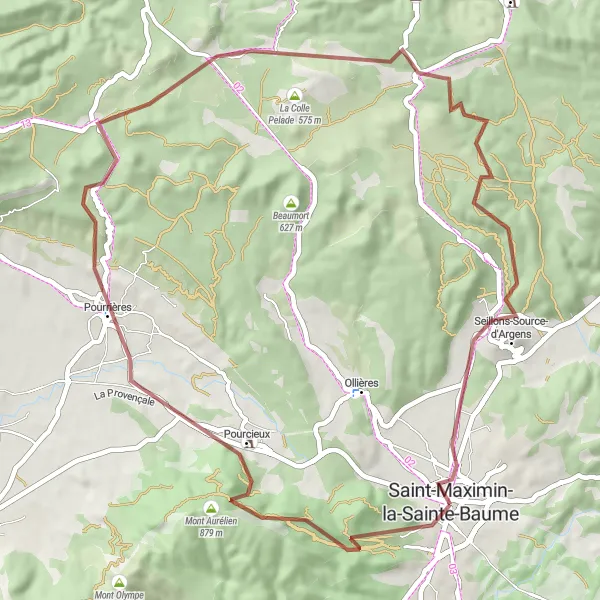
Uncover the hidden gems of Provence on this thrilling gravel adventure
Embark on a thrilling gravel biking expedition from Saint-Maximin-la-Sainte-Baume to La Lombarde. With an ascent of 958 meters and a distance of 56 kilometers, this route is perfect for gravel cycling enthusiasts seeking new challenges. Set off from Saint-Maximin-la-Sainte-Baume and explore highlights like Mont Aurélien, Pourcieux, and the enchanting village of Pourrières. Revel in the rugged beauty of the Provençal landscapes as you tackle the challenging climb up La Dispute and conquer the majestic La Lombarde. Don't miss the opportunity to visit the picturesque village of Seillons-Source-d'Argens on your way back to Saint-Maximin-la-Sainte-Baume. Prepare yourself for an unforgettable gravel adventure in the heart of Provence.
Gravel Adventure
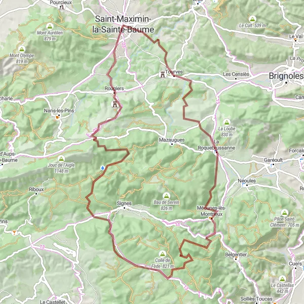
An adventurous gravel cycling route through scenic countryside
Experience the thrill of gravel cycling with this adventurous route starting near Saint-Maximin-la-Sainte-Baume. The Gravel Adventure offers a mix of off-road trails and quiet country roads, taking cyclists through stunning landscapes and charming villages. With a total ascent of 1685m and a distance of 89km, this route is suitable for cyclists who enjoy a challenge and don't mind getting off the beaten path. Highlights along the way include the beautiful village of Tourves and the impressive Aiguilles de Valbelle rock formations. Get ready to explore the hidden gems of Provence-Alpes-Côte d'Azur on this epic gravel adventure.
Cycling routes nearby:

Nearby regions: