Gravel Adventure
A gravel cycling route starting from Saint-Maximin-la-Sainte-Baume
An adventurous gravel cycling route through scenic countryside
Map
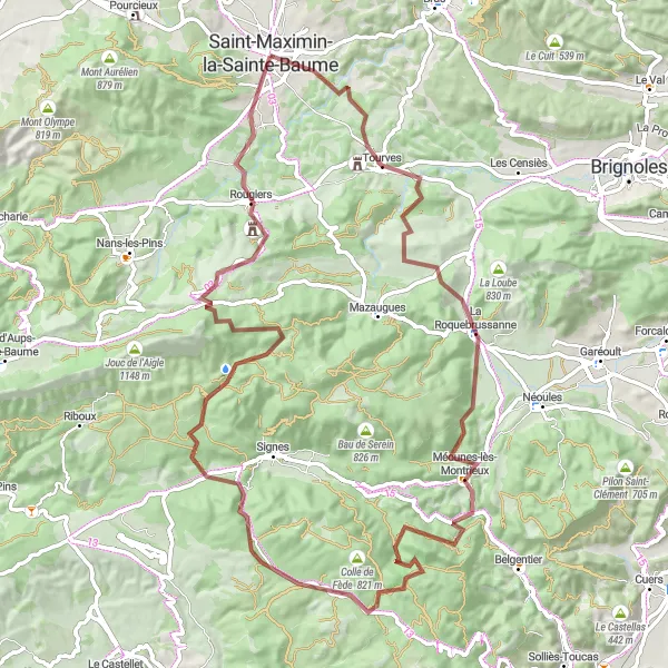
Experience the thrill of gravel cycling with this adventurous route starting near Saint-Maximin-la-Sainte-Baume. The Gravel Adventure offers a mix of off-road trails and quiet country roads, taking cyclists through stunning landscapes and charming villages. With a total ascent of 1685m and a distance of 89km, this route is suitable for cyclists who enjoy a challenge and don't mind getting off the beaten path. Highlights along the way include the beautiful village of Tourves and the impressive Aiguilles de Valbelle rock formations. Get ready to explore the hidden gems of Provence-Alpes-Côte d'Azur on this epic gravel adventure.
gravel
89 km
1685 m
Tough
Route profile
Highlights on the route
0 km
0 km
Start: Saint-Maximin-la-Sainte-Baume City centerSaint-Maximin-la-Sainte-Baume: Conquer Mont Ventoux in Provence-Alpes-Côte d’Azur.
Saint-Maximin-la-Sainte-Baume is located in the Provence-Alpes-Côte d’Azur region of France. From a cyclist's perspective, the locality offers a mix of road and gravel cycling routes. The area is characterized by hilly terrain and winding roads, making it suitable for intermediate to advanced cyclists. One of the famous climbs in the region is Mont Ventoux, which is around an hour's drive from Saint-Maximin-la-Sainte-Baume. Apart from the iconic climb, cyclists can also explore the beautiful countryside and visit the Saint-Maximin Basilica. Overall, Saint-Maximin-la-Sainte-Baume is a popular destination for cyclists, especially those looking to conquer Mont Ventoux, in the Provence-Alpes-Côte d’Azur region.9 km
9 km
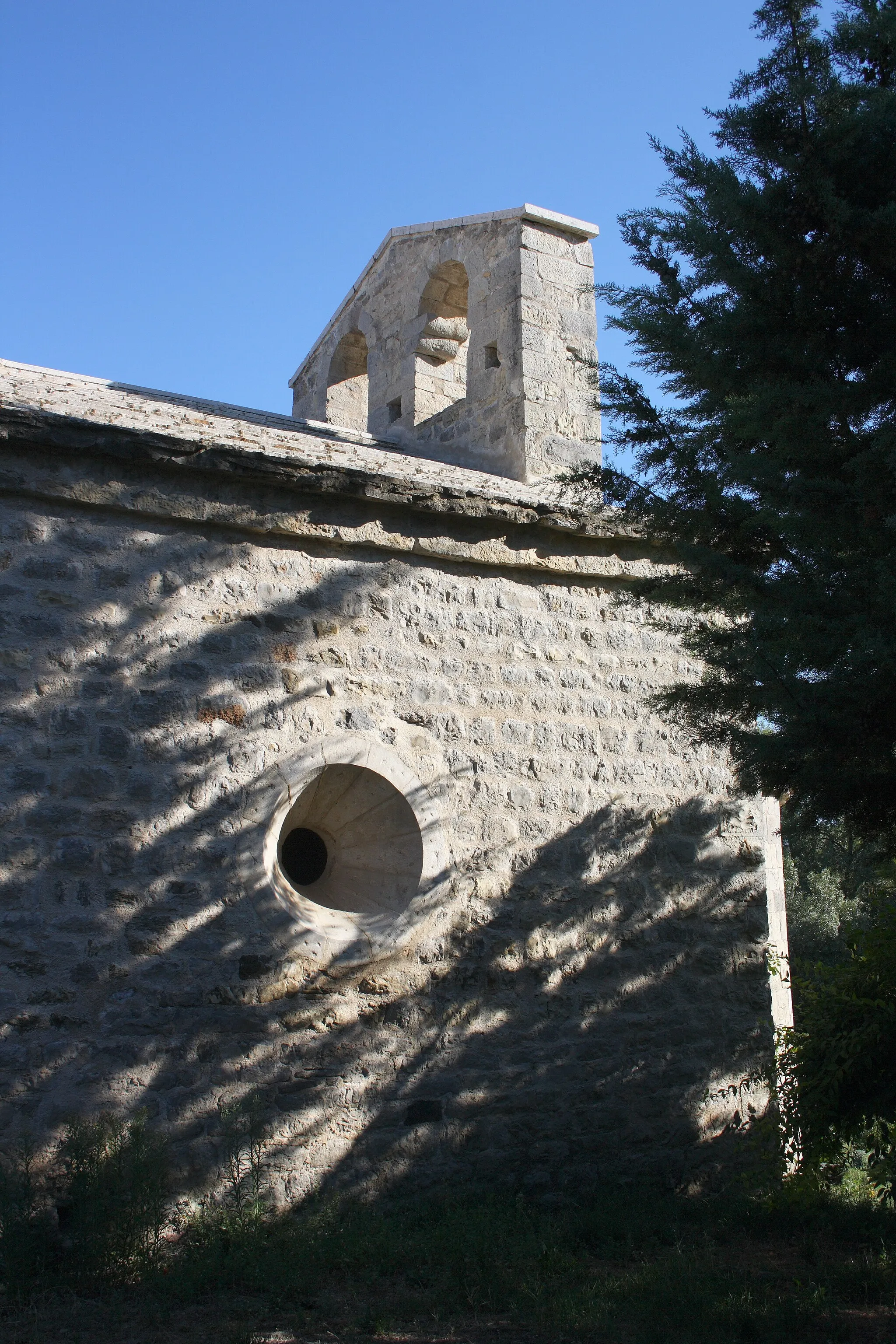
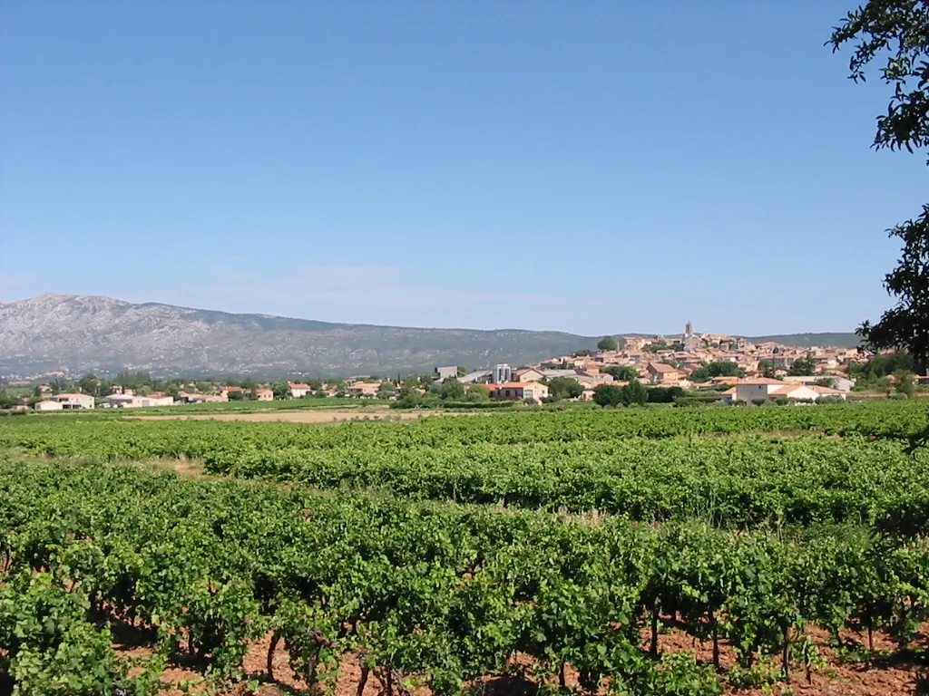
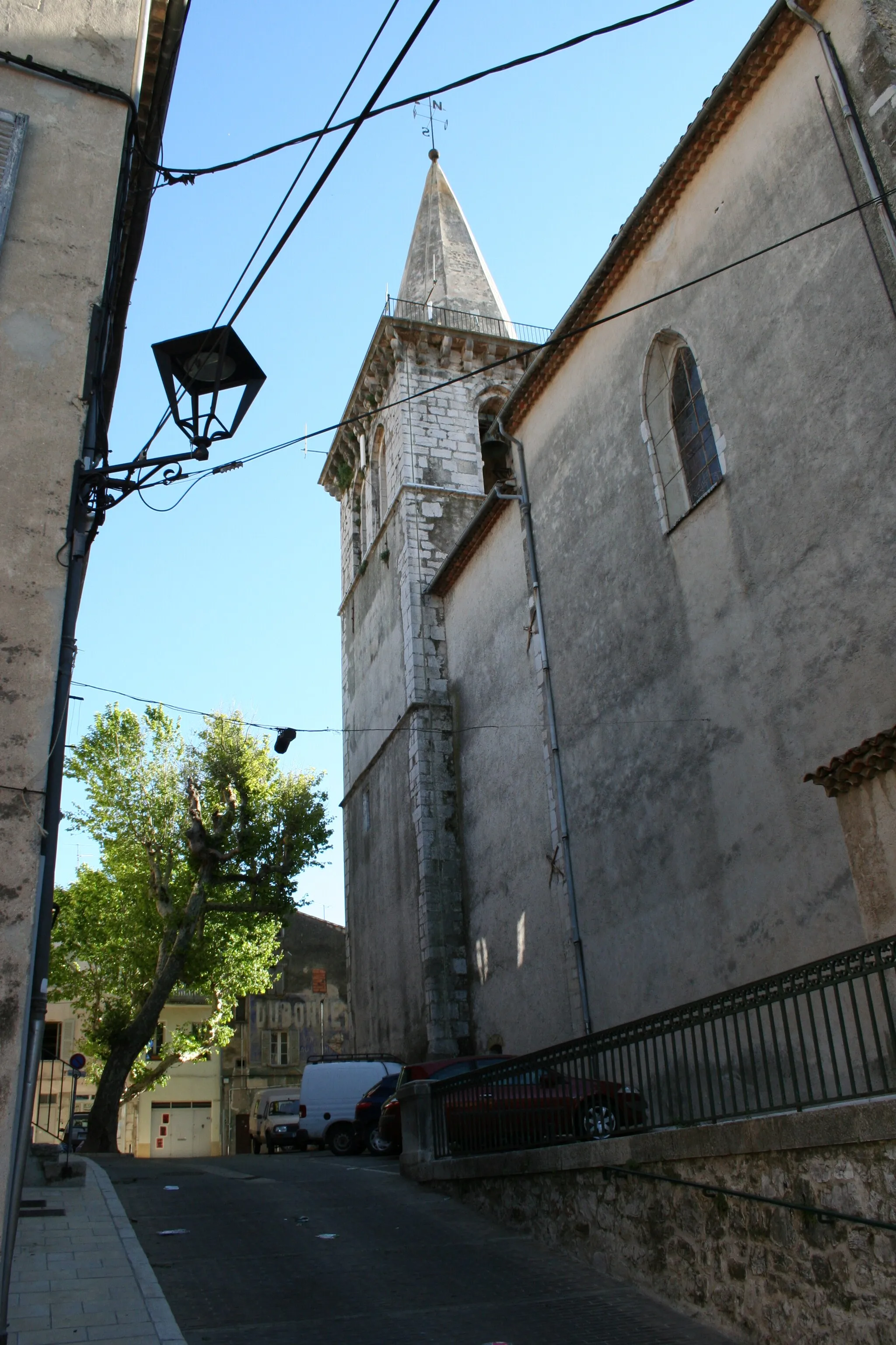
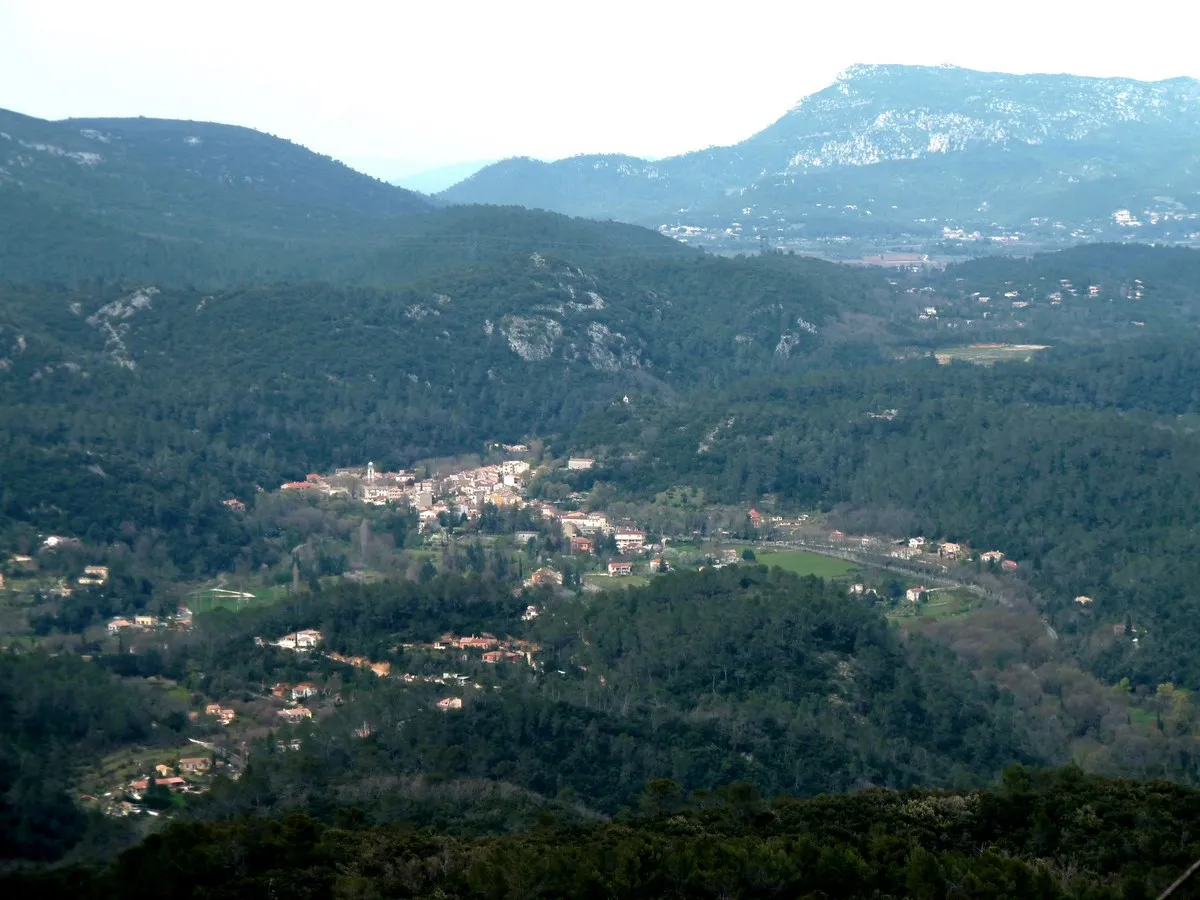
TourvesVillageTourves, a picturesque village with narrow streets and medieval architecture, is a must-see highlight along the route.
25 km
25 km
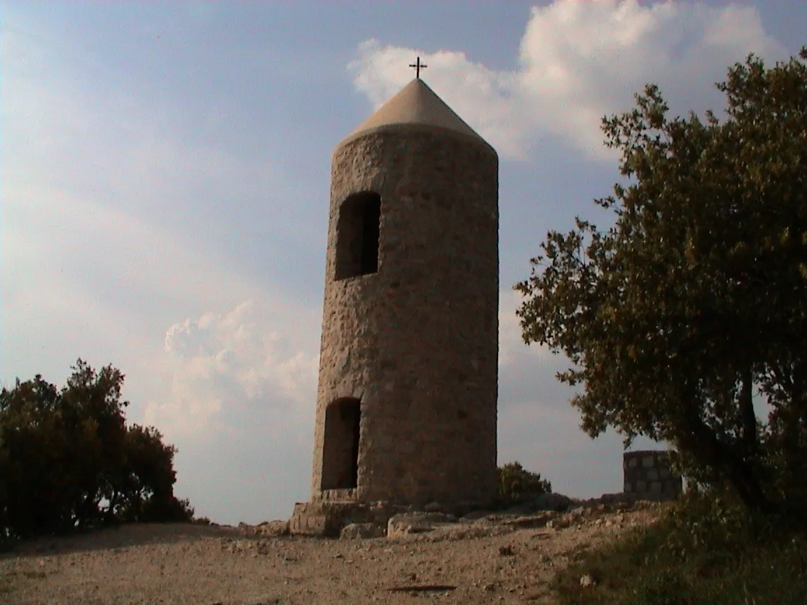
Pey Rediaque366 mPeakPey Rediaque offers a challenging off-road section with stunning views of the surrounding countryside.
30 km
30 km
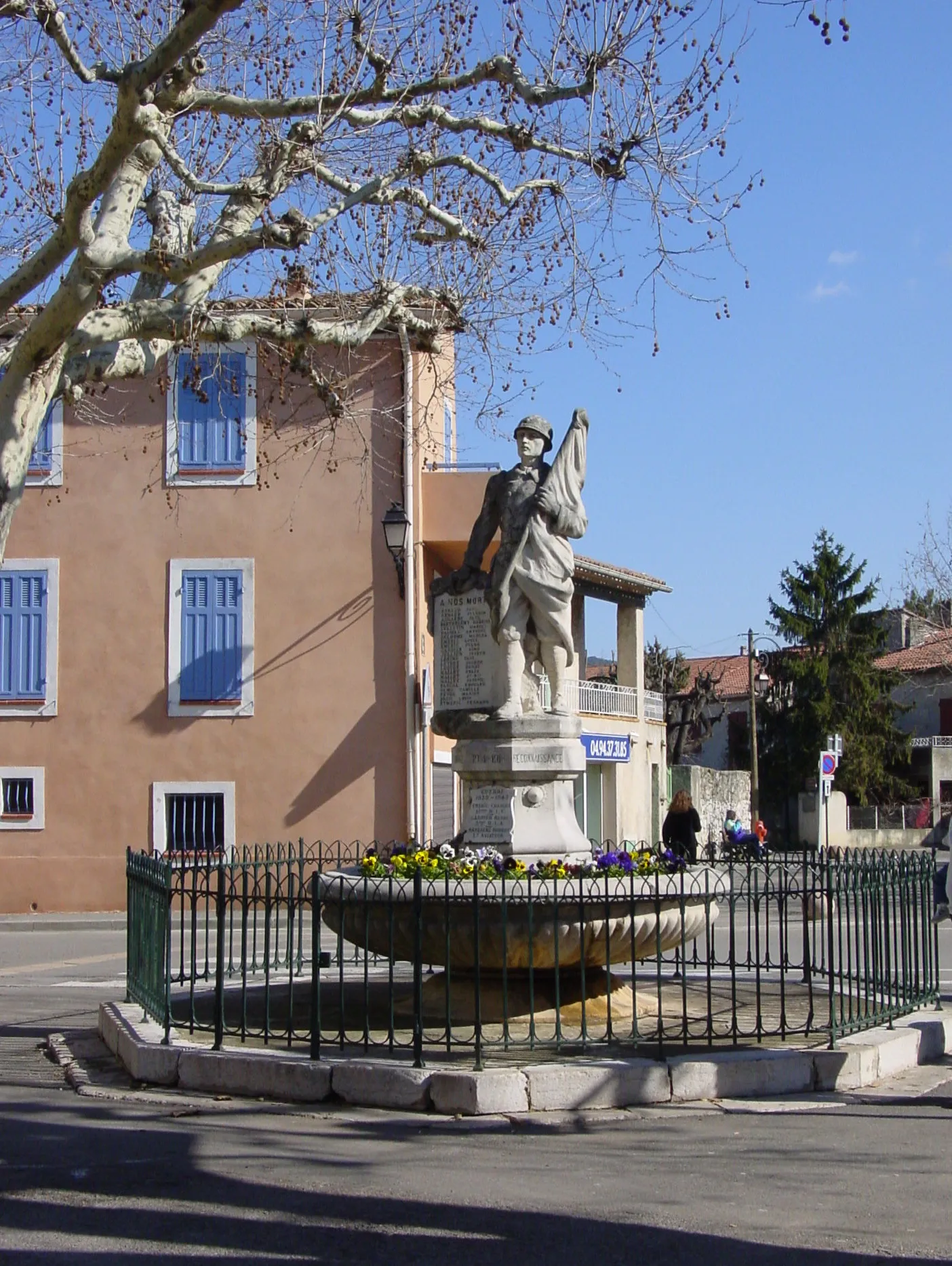
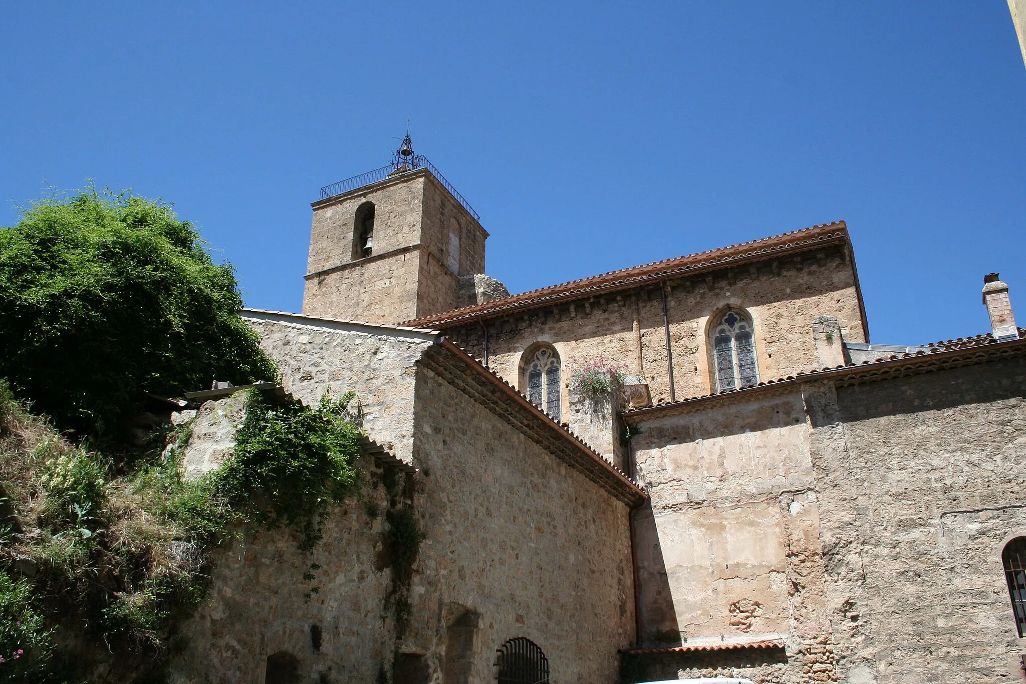
Méounes-lès-MontrieuxVillageMéounes-lès-Montrieux is a charming village known for its olive oil production and traditional Provençal architecture.
41 km
41 km
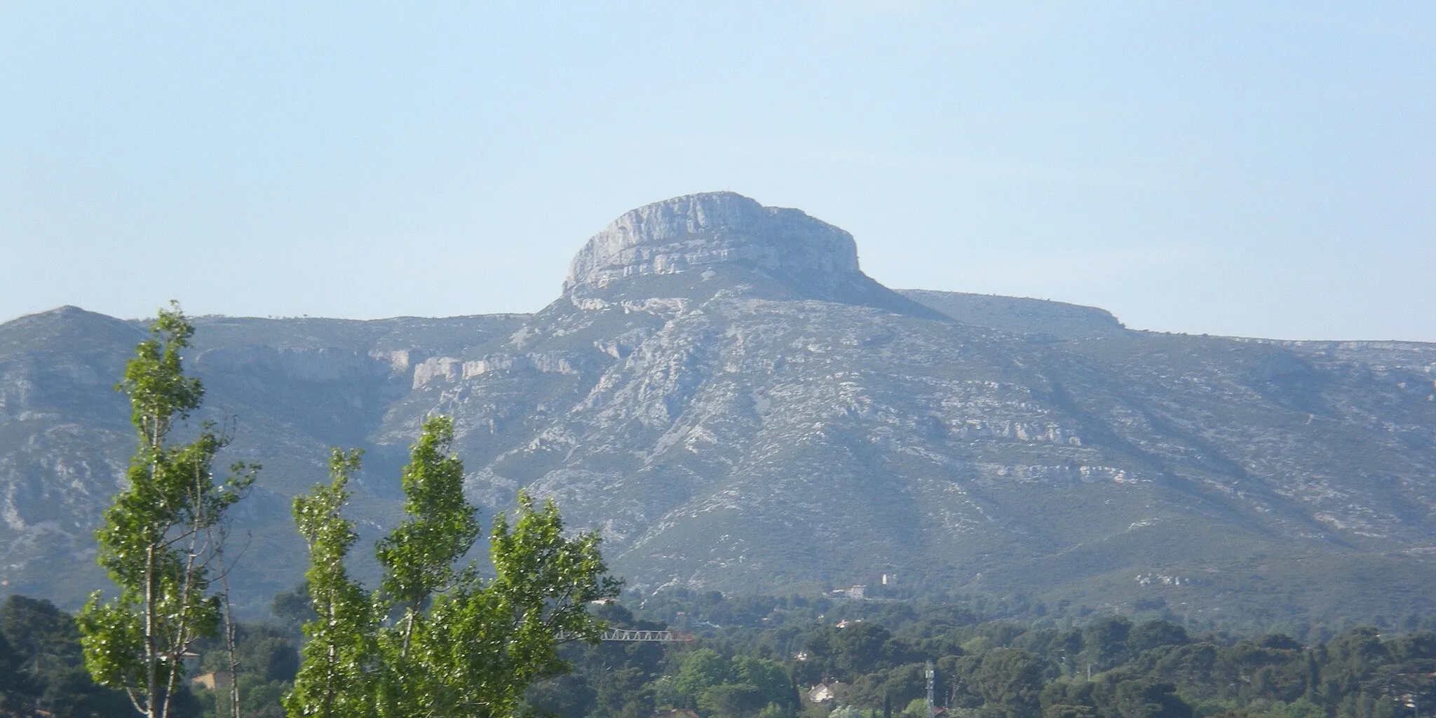
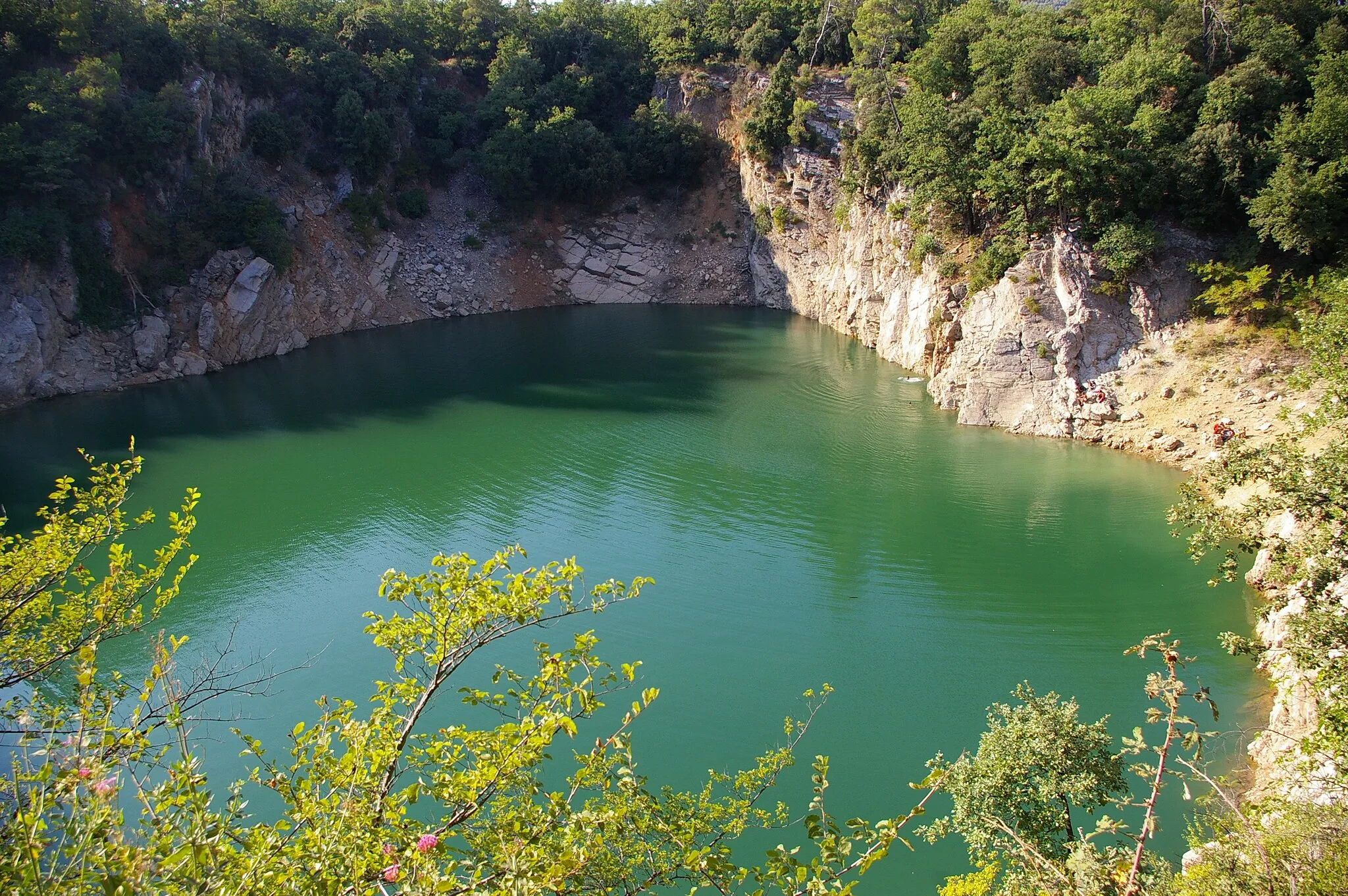
Aiguilles de Valbelle562 mPeakThe Aiguilles de Valbelle rock formations are a natural wonder and offer a unique sight during the ride.
63 km
63 km
Château Roux694 mPeakChâteau Roux, a medieval castle, provides a historic backdrop for cyclists passing through the area.
89 km
89 km
Saint-Maximin-la-Sainte-BaumeTownSaint-Maximin-la-Sainte-Baume, the starting point and endpoint of the route, is home to the majestic Sainte-Baume Massif, which is worth exploring after the ride.
89 km
89 km
Finish: Saint-Maximin-la-Sainte-Baume City centerSaint-Maximin-la-Sainte-Baume: Conquer Mont Ventoux in Provence-Alpes-Côte d’Azur.
Cycling routes from Saint-Maximin-la-Sainte-Baume:
Road Route from Saint-Maximin-la-Sainte-Baume Gravel Adventure: Saint-Maximin-la-Sainte-Baume to La Lombarde Loop Gravel Adventure Road Route from Saint-Maximin-la-Sainte-Baume Gravel Adventure: Saint-Maximin-la-Sainte-Baume to Mont Aurélien Loop Toulon Adventure Road Cycling: Saint-Maximin-la-Sainte-Baume to Seillons-Source-d'Argens Loop Belgentier Gravel Gravel Route from Saint-Maximin-la-Sainte-Baume Road Cycling Adventure: Saint-Maximin-la-Sainte-Baume to Col de l'Espigoulier Loop
Cycling routes nearby: