Gravel Route from Saint-Maximin-la-Sainte-Baume
A gravel cycling route starting from Saint-Maximin-la-Sainte-Baume
Explore the beautiful gravel roads near Saint-Maximin-la-Sainte-Baume
Map
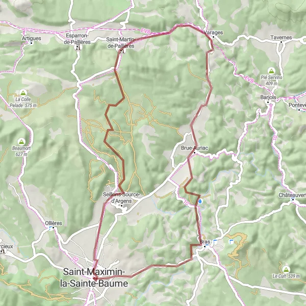
This gravel route near Saint-Maximin-la-Sainte-Baume is perfect for adventure seekers looking to explore the stunning countryside. With a total distance of 53 km and an ascent of 715 m, this route offers a challenging yet enjoyable ride. The highlights along the route include Seillons-Source-d'Argens, a charming village known for its picturesque scenery, and La Lombarde, a famous cycling spot popular among avid bikers. Prepare to be amazed by the breathtaking views as you cycle through Saint-Martin-de-Pallières and Brue-Auriac. The Collet de la Gérade and Colle de Garrade are two more noteworthy highlights that offer a rewarding experience. Get ready for a thrilling cycling adventure on this gravel route near Saint-Maximin-la-Sainte-Baume!
gravel
53 km
715 m
Tough
Route profile
Highlights on the route
0 km
0 km
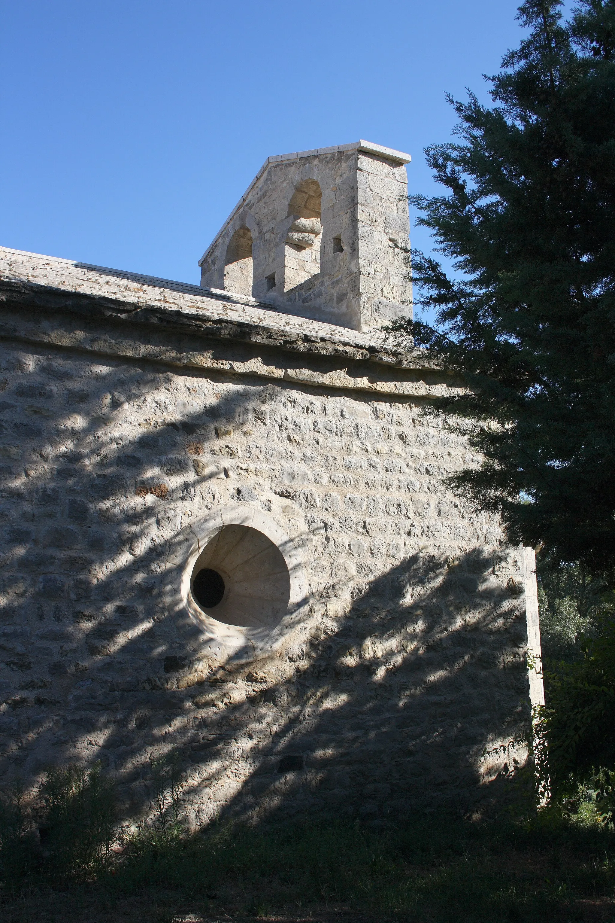
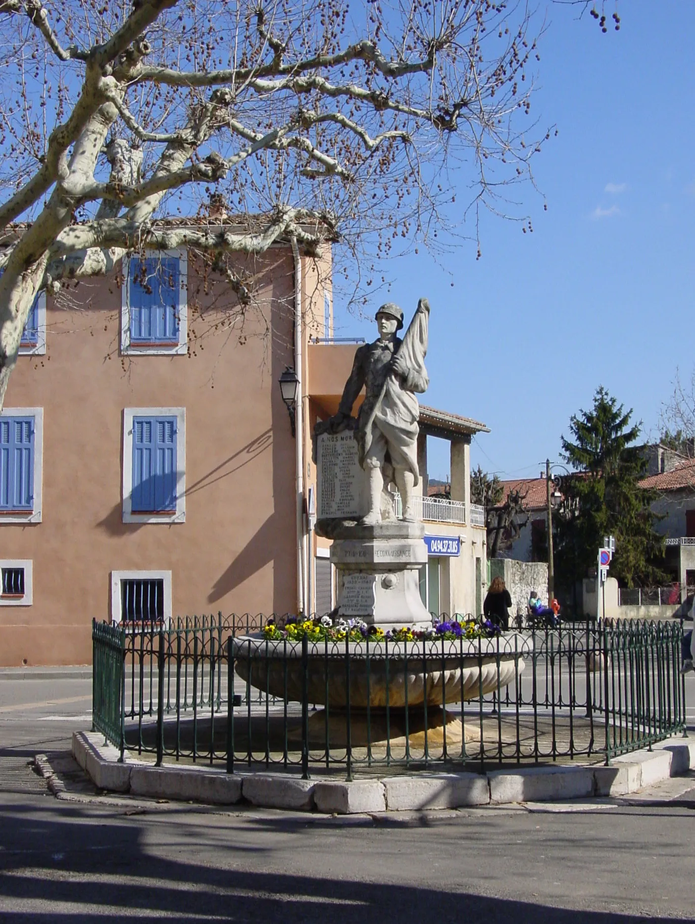
Start: Saint-Maximin-la-Sainte-Baume City centerSaint-Maximin-la-Sainte-Baume: Conquer Mont Ventoux in Provence-Alpes-Côte d’Azur.
Saint-Maximin-la-Sainte-Baume is located in the Provence-Alpes-Côte d’Azur region of France. From a cyclist's perspective, the locality offers a mix of road and gravel cycling routes. The area is characterized by hilly terrain and winding roads, making it suitable for intermediate to advanced cyclists. One of the famous climbs in the region is Mont Ventoux, which is around an hour's drive from Saint-Maximin-la-Sainte-Baume. Apart from the iconic climb, cyclists can also explore the beautiful countryside and visit the Saint-Maximin Basilica. Overall, Saint-Maximin-la-Sainte-Baume is a popular destination for cyclists, especially those looking to conquer Mont Ventoux, in the Provence-Alpes-Côte d’Azur region.7 km
7 km
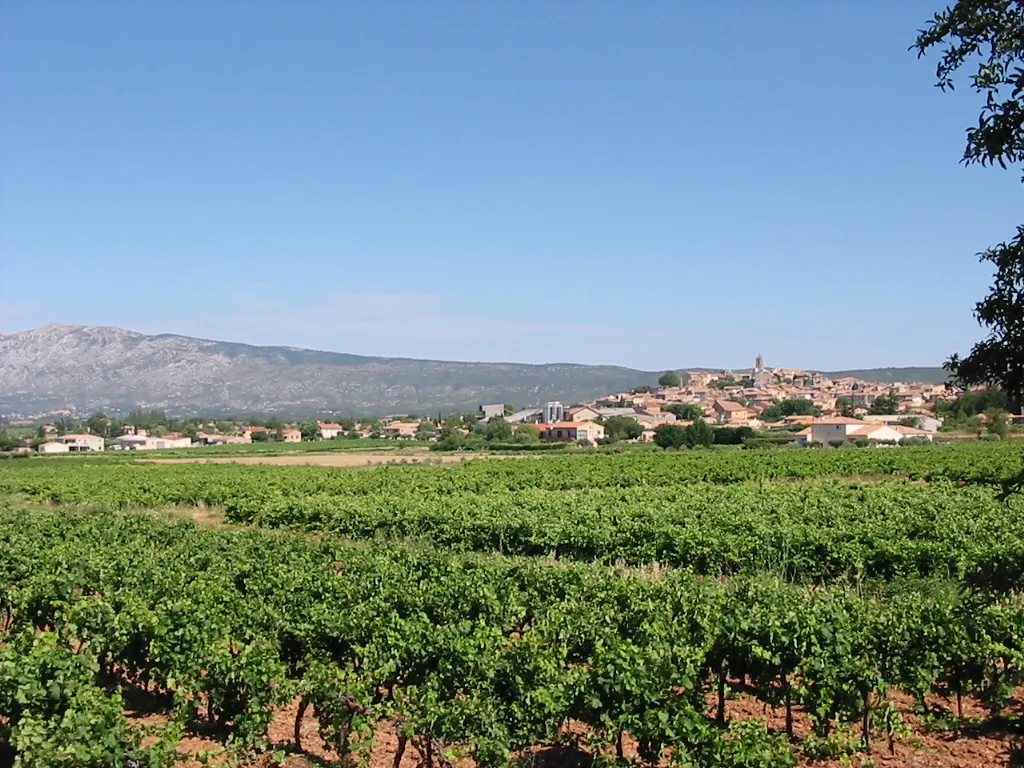
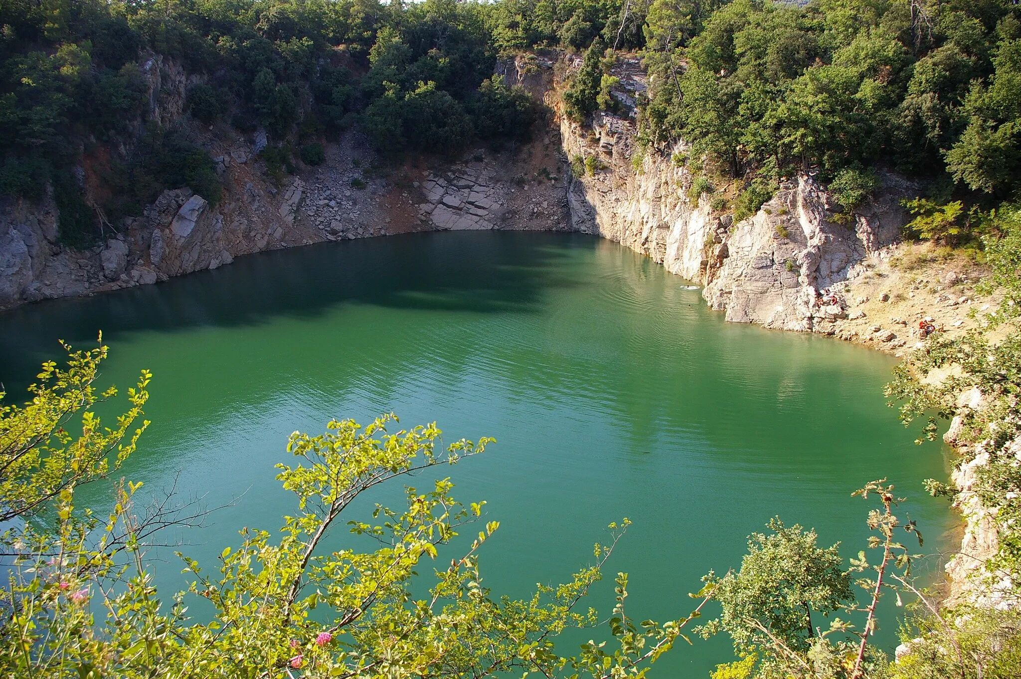
Seillons-Source-d'ArgensVillageSeillons-Source-d'Argens is a picturesque village with incredible views of the surrounding countryside.
8 km
8 km
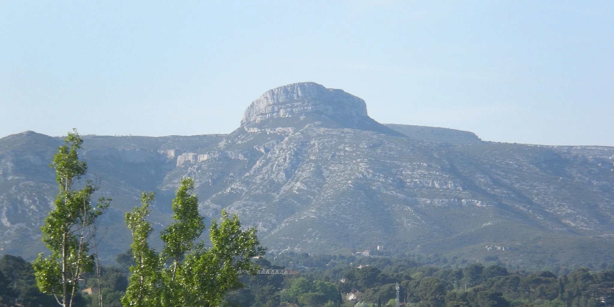
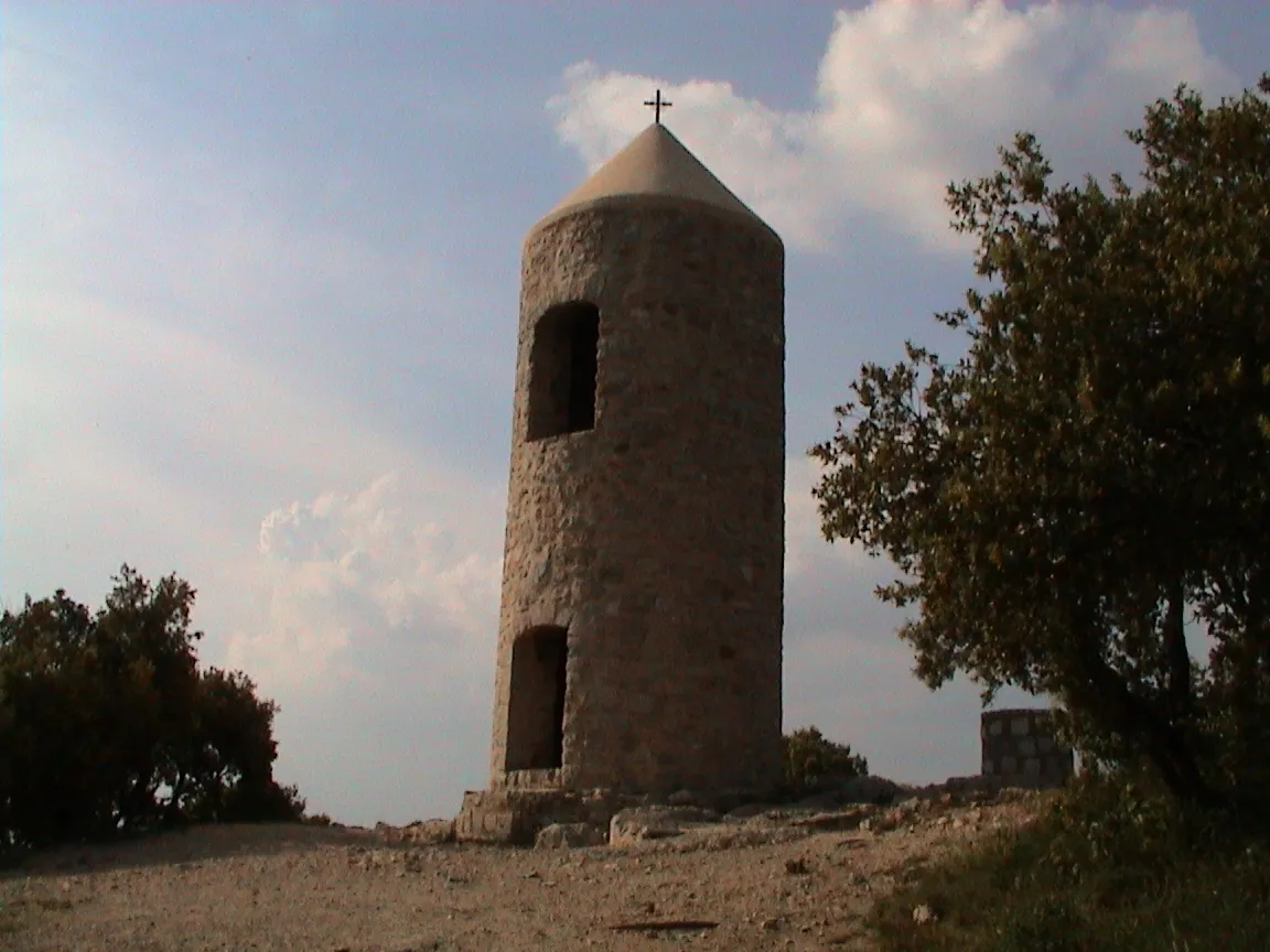
La Lombarde406 mPeakLa Lombarde is a legendary climb known for its challenging terrain and stunning vistas.
20 km
20 km
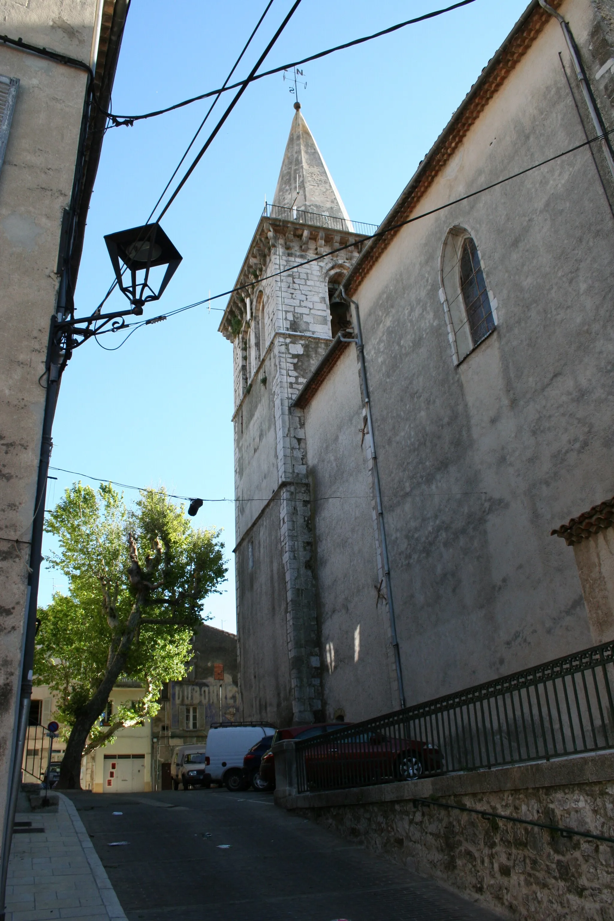
Saint-Martin-de-PallièresVillageSaint-Martin-de-Pallières offers stunning countryside scenery and quiet roads perfect for cycling.
36 km
36 km
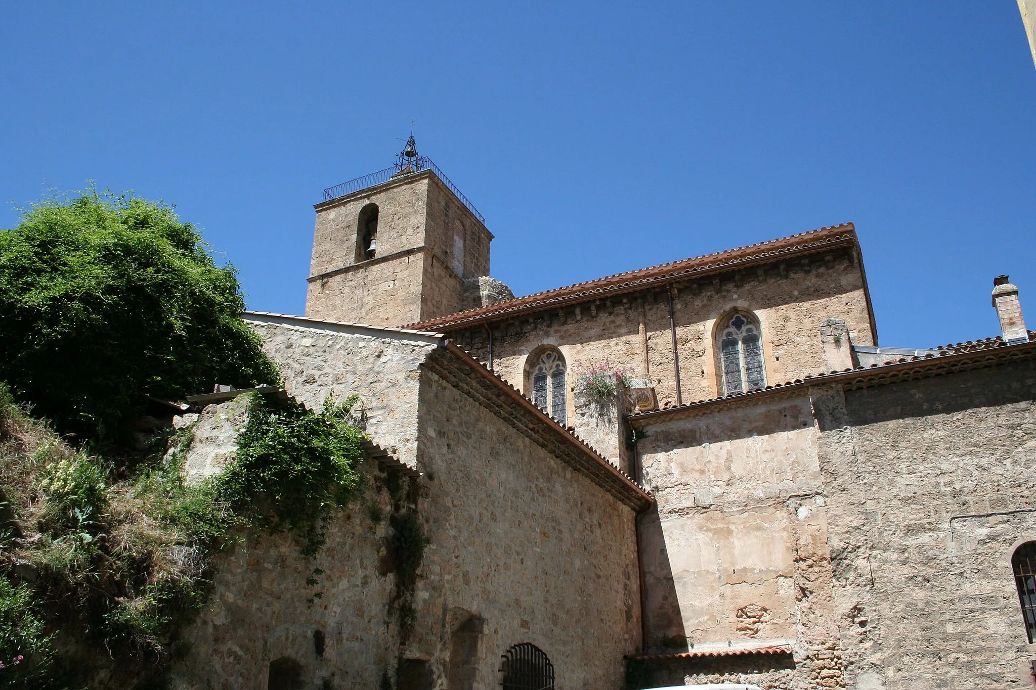
Brue-AuriacVillageBrue-Auriac is a charming village with historic buildings and beautiful landscapes.
42 km
42 km
Collet de la Gérade315 mPeakThe Collet de la Gérade is a rewarding climb with sweeping panoramic views at the top.
49 km
49 km
Colle de Garrade341 mPeakColle de Garrade offers a challenging ascent and rewarding views of the surrounding mountains.
53 km
53 km
Saint-Maximin-la-Sainte-BaumeTownSaint-Maximin-la-Sainte-Baume is the starting point of this gravel route and provides easy access to the beautiful countryside.
53 km
53 km
Finish: Saint-Maximin-la-Sainte-Baume City centerSaint-Maximin-la-Sainte-Baume: Conquer Mont Ventoux in Provence-Alpes-Côte d’Azur.
Cycling routes from Saint-Maximin-la-Sainte-Baume:
Road Route from Saint-Maximin-la-Sainte-Baume Gravel Adventure: Saint-Maximin-la-Sainte-Baume to La Lombarde Loop Gravel Adventure Road Route from Saint-Maximin-la-Sainte-Baume Gravel Adventure: Saint-Maximin-la-Sainte-Baume to Mont Aurélien Loop Toulon Adventure Road Cycling: Saint-Maximin-la-Sainte-Baume to Seillons-Source-d'Argens Loop Belgentier Gravel Gravel Route from Saint-Maximin-la-Sainte-Baume Road Cycling Adventure: Saint-Maximin-la-Sainte-Baume to Col de l'Espigoulier Loop
Cycling routes nearby: