Belgentier Gravel
A gravel cycling route starting from Saint-Maximin-la-Sainte-Baume
An exciting gravel cycling route with diverse scenery
Map
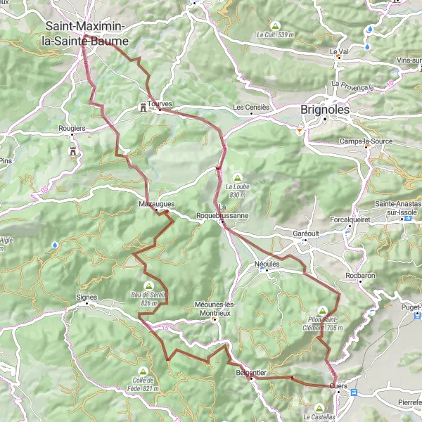
Explore the natural beauty of Provence-Alpes-Côte d'Azur with the Belgentier Gravel route starting near Saint-Maximin-la-Sainte-Baume. This exciting gravel cycling adventure takes cyclists through diverse landscapes, including Provençal villages, rolling hills, and forested areas. Enjoy the thrill of off-road riding as you navigate the challenging terrain and discover hidden gems along the way. With a total ascent of 1668m and a distance of 90km, the Belgentier Gravel is a great option for cyclists looking to explore the region's natural beauty on two wheels. Get ready for an adrenaline-pumping adventure through picturesque scenery.
gravel
90 km
1668 m
Tough
Route profile
Highlights on the route
0 km
0 km
Start: Saint-Maximin-la-Sainte-Baume City centerSaint-Maximin-la-Sainte-Baume: Conquer Mont Ventoux in Provence-Alpes-Côte d’Azur.
Saint-Maximin-la-Sainte-Baume is located in the Provence-Alpes-Côte d’Azur region of France. From a cyclist's perspective, the locality offers a mix of road and gravel cycling routes. The area is characterized by hilly terrain and winding roads, making it suitable for intermediate to advanced cyclists. One of the famous climbs in the region is Mont Ventoux, which is around an hour's drive from Saint-Maximin-la-Sainte-Baume. Apart from the iconic climb, cyclists can also explore the beautiful countryside and visit the Saint-Maximin Basilica. Overall, Saint-Maximin-la-Sainte-Baume is a popular destination for cyclists, especially those looking to conquer Mont Ventoux, in the Provence-Alpes-Côte d’Azur region.9 km
9 km
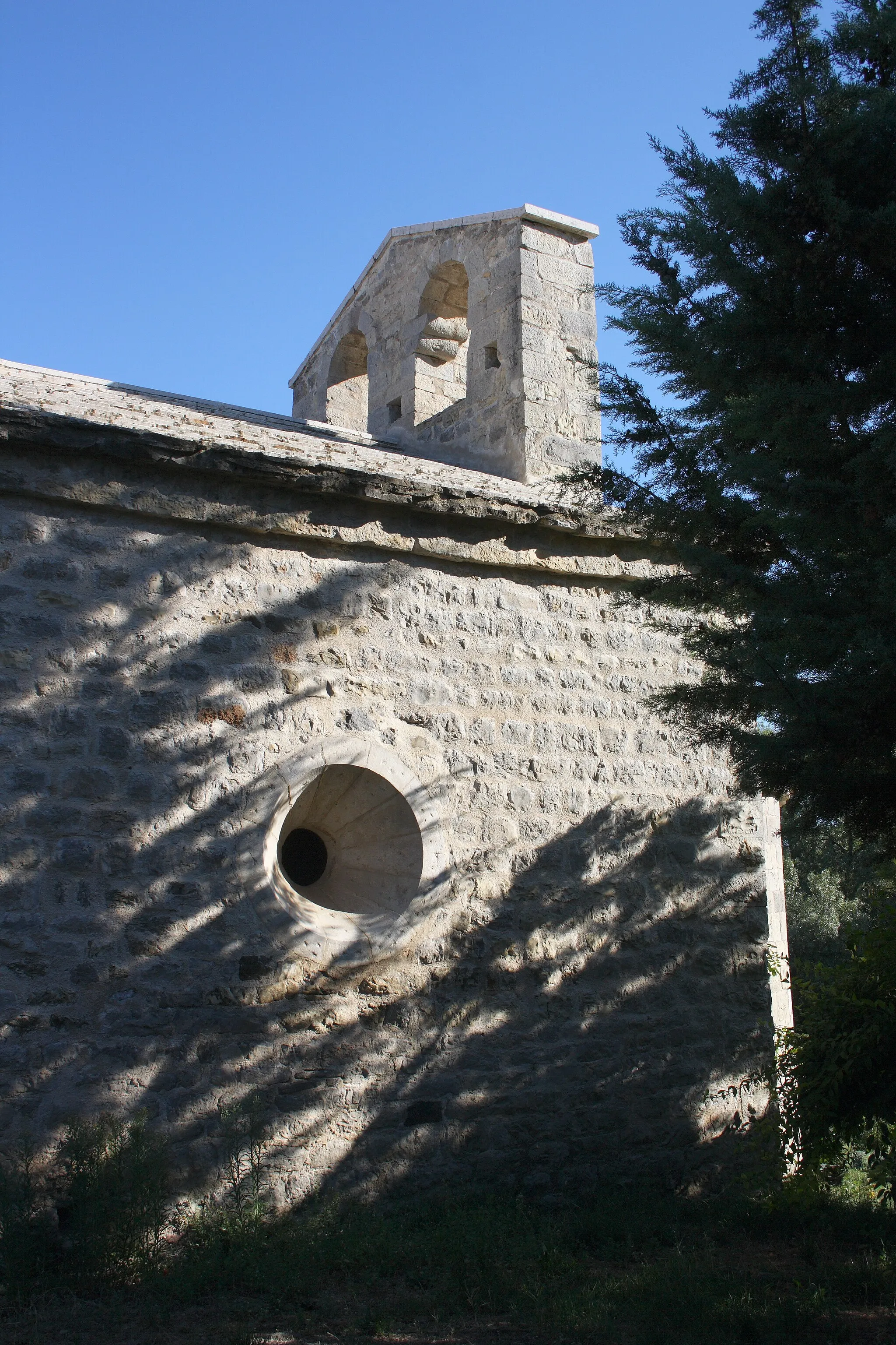
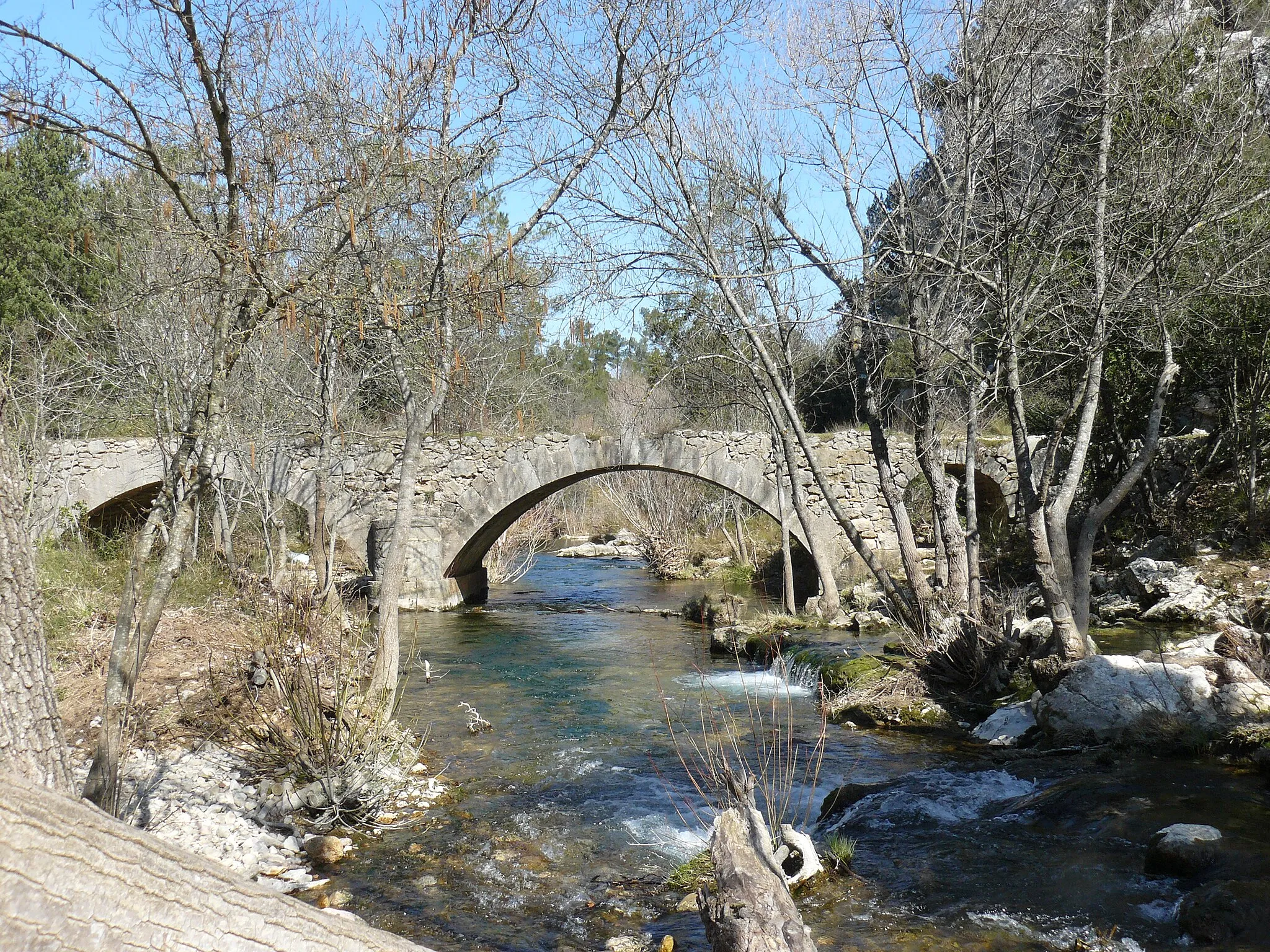
TourvesVillageTourves, a charming village with narrow streets and medieval architecture, is a highlight along the route.
16 km
16 km
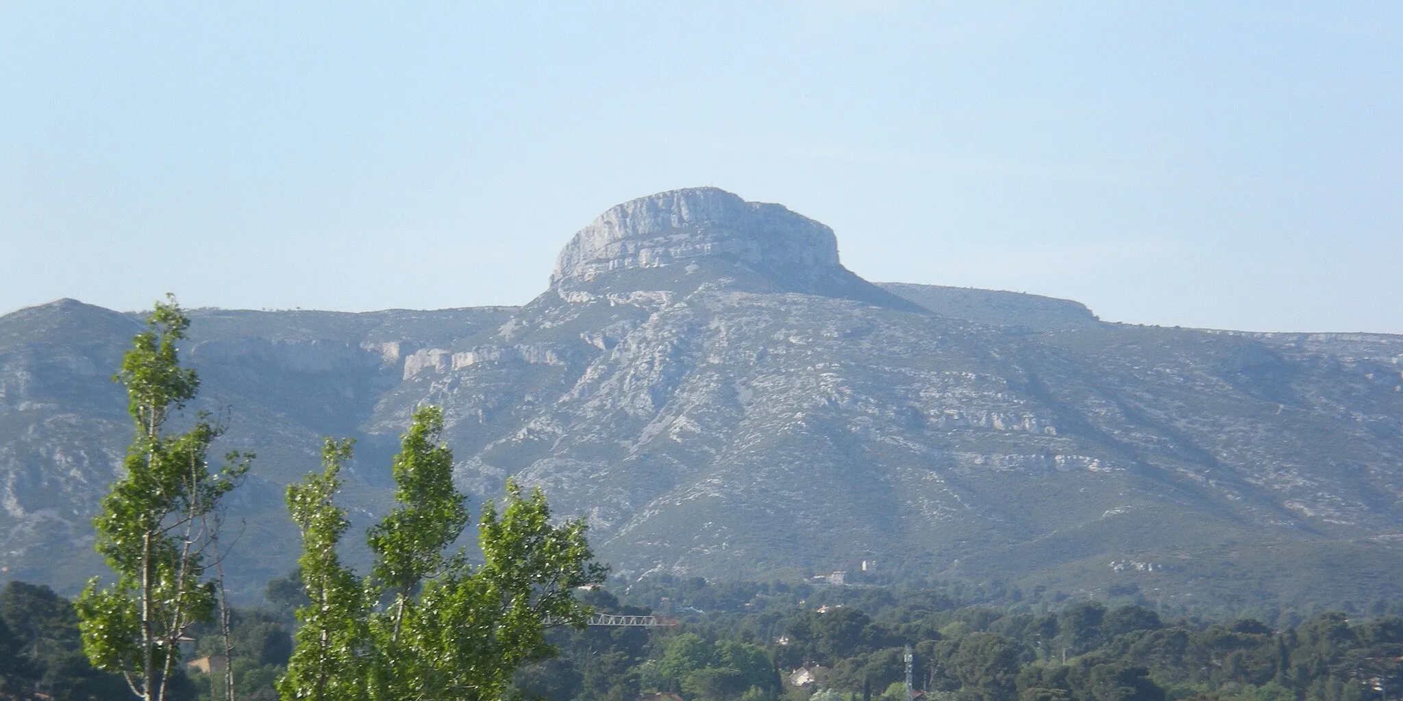
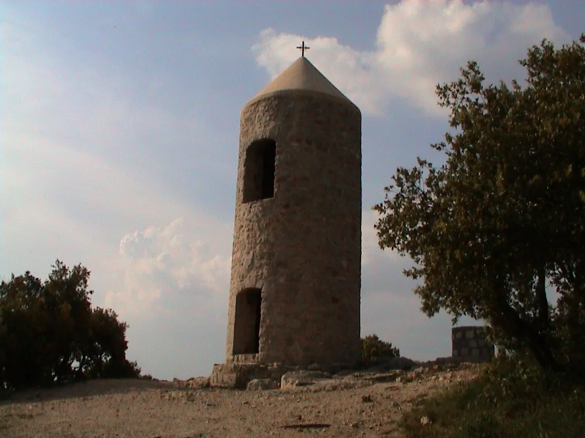
Le Capucin494 mPeakLe Capucin, a striking rock formation, offers a unique sight during the ride.
32 km
32 km
Col de la Bigue420 mMountain PassCol de la Bigue provides a challenging climb with rewarding views of the surrounding countryside.
39 km
39 km
CuersVillageCuers is a historic town nestled at the foot of the Maures mountains, offering a scenic stop along the route.
46 km
46 km
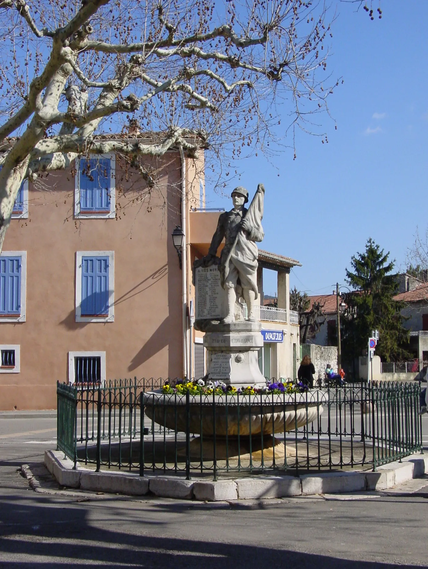
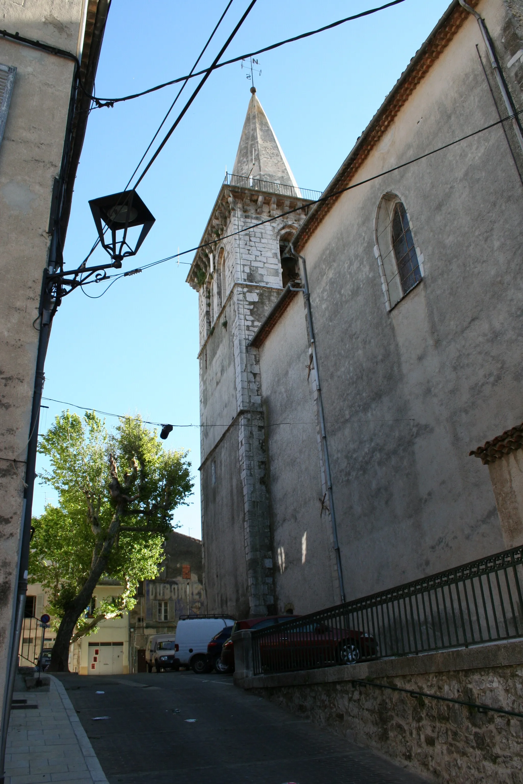
BelgentierVillageBelgentier is a serene village with traditional Provençal charm and boasts a beautiful riverside setting.
60 km
60 km
Le Bas Cauvet417 mPeakLe Bas Cauvet is a peaceful and idyllic spot where cyclists can take a break and enjoy the tranquility of nature.
74 km
74 km
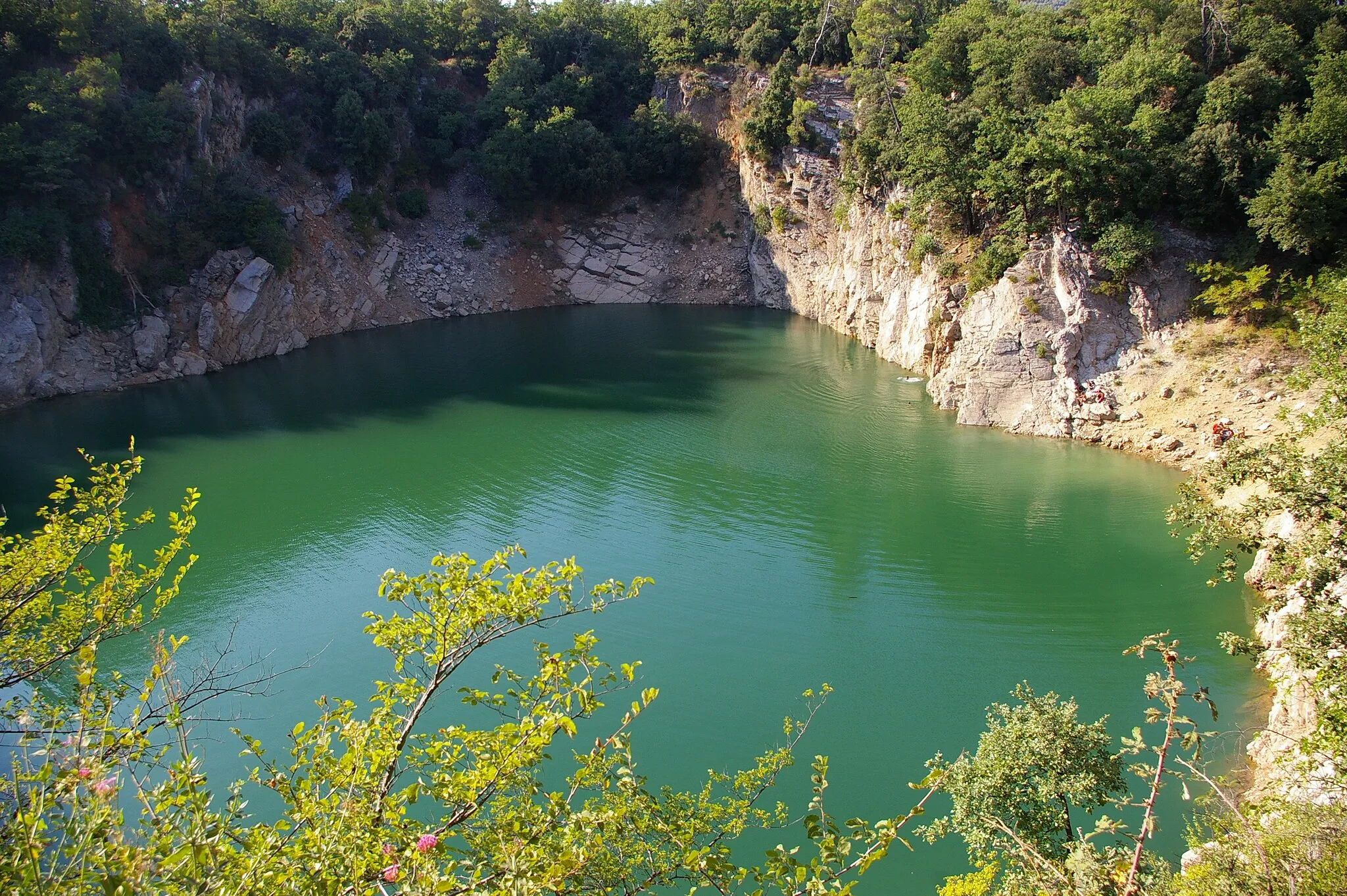
Tête du Baou557 mPeakTête du Baou is a scenic lookout point offering breathtaking views of the surrounding landscapes.
75 km
75 km
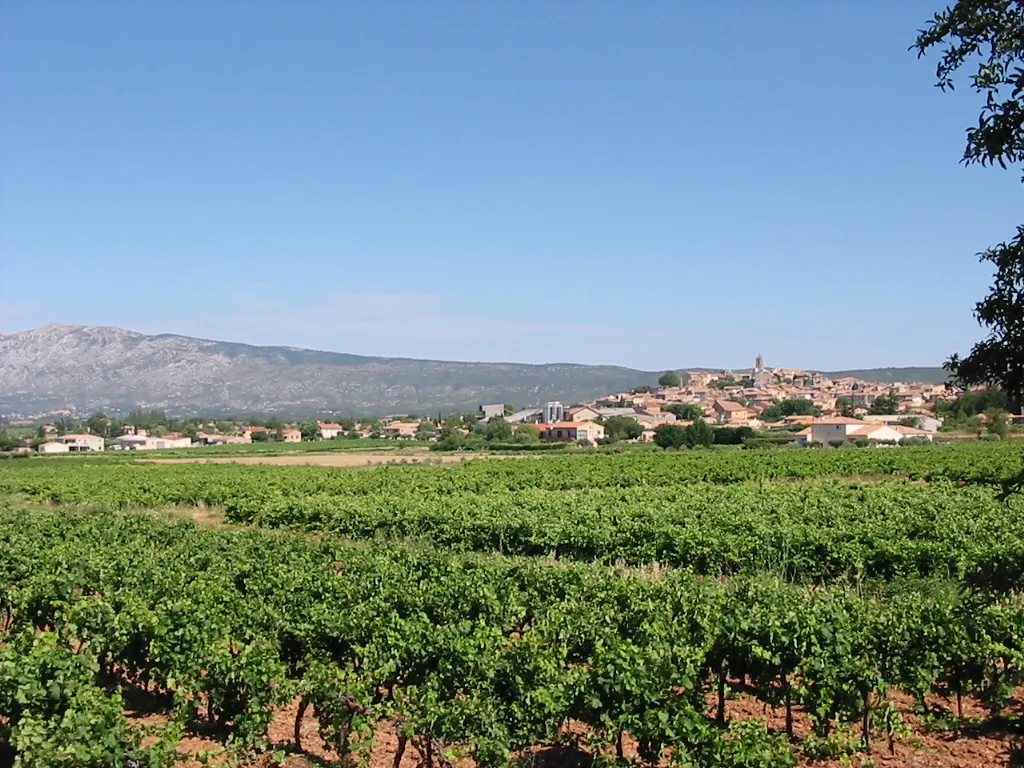
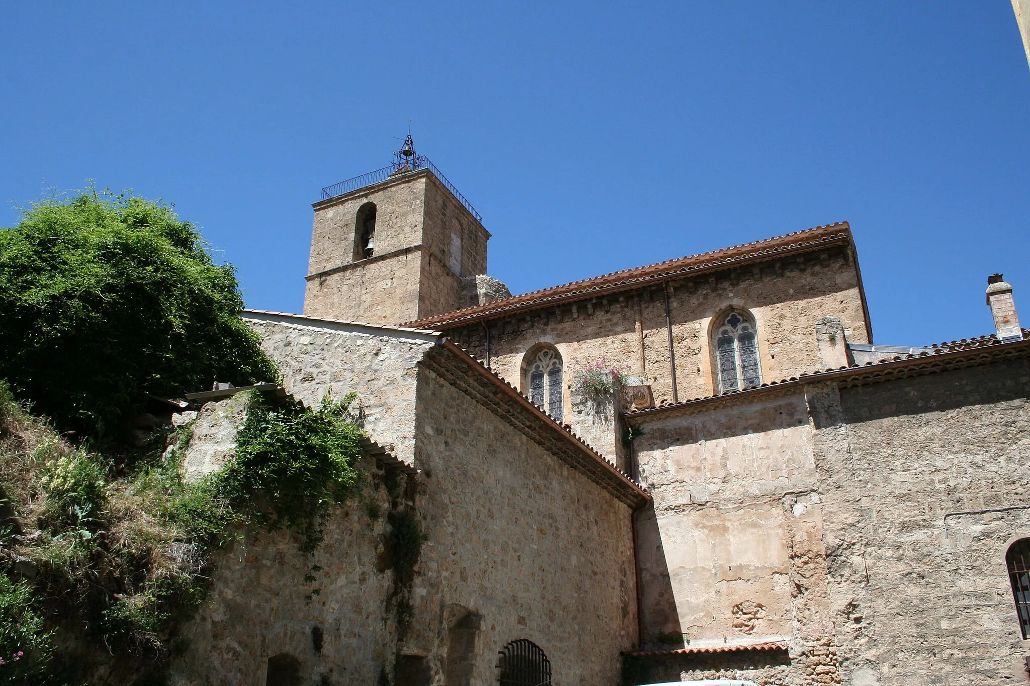
MazauguesVillageMazaugues features beautiful architecture and is worth exploring during the ride.
90 km
90 km
Saint-Maximin-la-Sainte-BaumeTownSaint-Maximin-la-Sainte-Baume, the starting point and endpoint of the route, is home to the magnificent Sainte-Baume Basilica.
90 km
90 km
Finish: Saint-Maximin-la-Sainte-Baume City centerSaint-Maximin-la-Sainte-Baume: Conquer Mont Ventoux in Provence-Alpes-Côte d’Azur.
Cycling routes from Saint-Maximin-la-Sainte-Baume:
Road Route from Saint-Maximin-la-Sainte-Baume Gravel Adventure: Saint-Maximin-la-Sainte-Baume to La Lombarde Loop Gravel Adventure Road Route from Saint-Maximin-la-Sainte-Baume Gravel Adventure: Saint-Maximin-la-Sainte-Baume to Mont Aurélien Loop Toulon Adventure Road Cycling: Saint-Maximin-la-Sainte-Baume to Seillons-Source-d'Argens Loop Belgentier Gravel Gravel Route from Saint-Maximin-la-Sainte-Baume Road Cycling Adventure: Saint-Maximin-la-Sainte-Baume to Col de l'Espigoulier Loop
Cycling routes nearby: