Embrun to Montmiral and Back
A gravel cycling route starting from Embrun
Gravel adventure through picturesque countryside
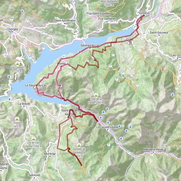
Map
This gravel route takes you from Embrun to the charming village of Montmiral and back. Along the way, you'll encounter stunning views, challenging climbs, and peaceful country roads. The route is suitable for experienced gravel riders who enjoy a mix of off-road trails and quiet paved roads. Overall, it's a rewarding and memorable cycling experience in the Provence-Alpes-Côte d’Azur region.
gravel
107 km
3208 m
Tough
Route profile
Highlights on the route
0 km
0 km
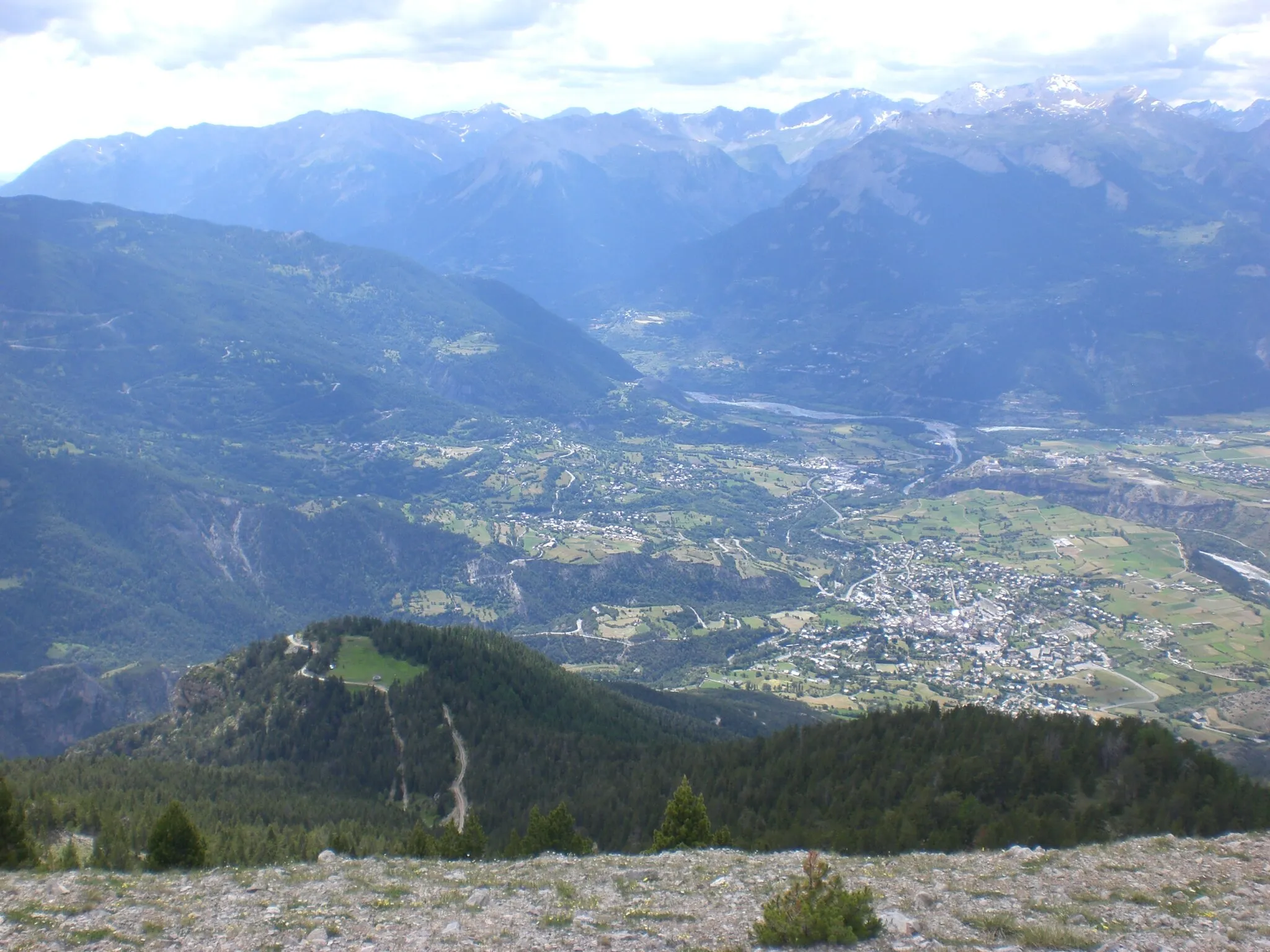
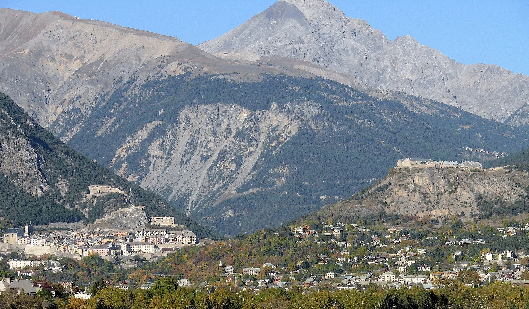
Start: Embrun Village centerEmbrun: Iconic climbs and stunning mountain views make Embrun a premier cycling destination.
Embrun is a vibrant town situated in the Provence-Alpes-Côte d’Azur region of France. As a road cyclist, you will be captivated by the stunning mountain and lake views surrounding the area. The region offers a range of challenging climbs and scenic routes, making it a popular destination for cycling enthusiasts. Embrun itself is home to several iconic climbs, including Col de l'Izoard and Col du Galibier, attracting riders from all over the world. In addition to cycling, Embrun also offers various water sports activities, further enhancing its appeal to outdoor enthusiasts. With its breathtaking landscapes and cycling pedigree, Embrun is a must-visit destination for serious cyclists.8 km
8 km
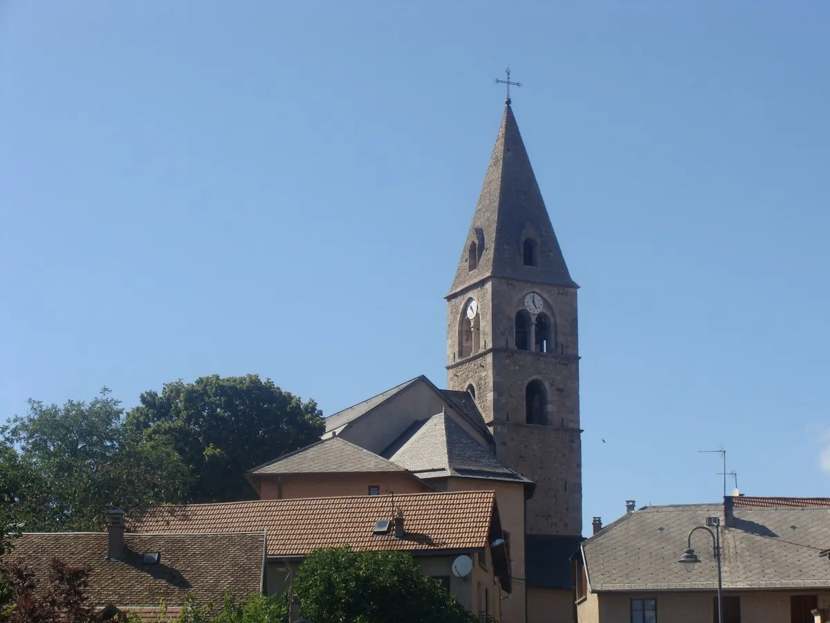
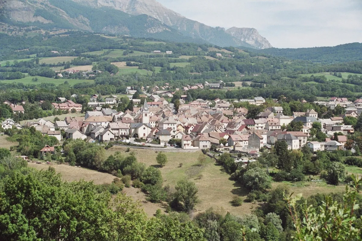
MontmiralHamletMontmiral is a hidden gem with its ancient castle ruins and beautiful panoramic views. Take a moment to explore this charming village before heading back.
17 km
17 km
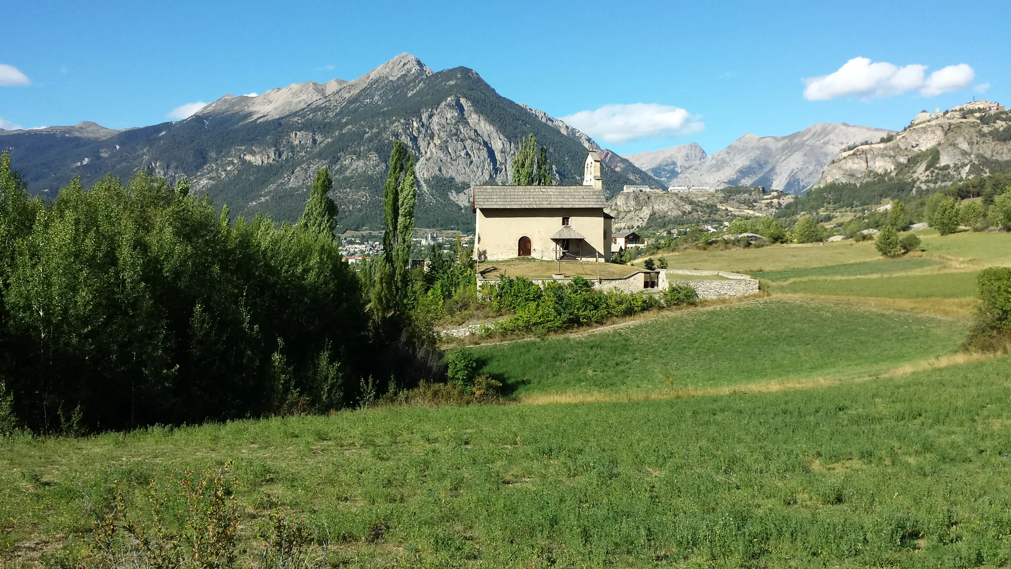
Pierre Arnoux1303 mPeakPierre Arnoux offers a peaceful oasis along the route, with a small lake and picnic area. It's the perfect spot to take a break and recharge.
26 km
26 km
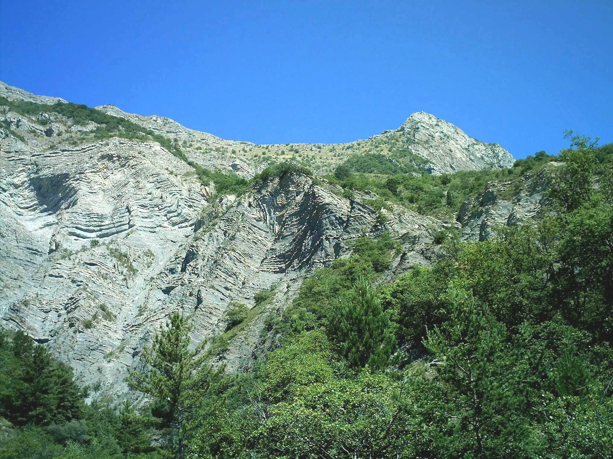
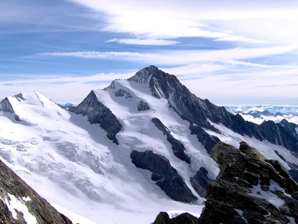
La Gineste1313 mPeakLa Gineste is a challenging climb that rewards riders with breathtaking views of the surrounding mountains and valleys.
27 km
27 km
L'Adroit de PontisHamletL'Adroit de Pontis is a narrow and winding road that takes you through beautiful forested areas, offering a peaceful and serene experience.
44 km
44 km
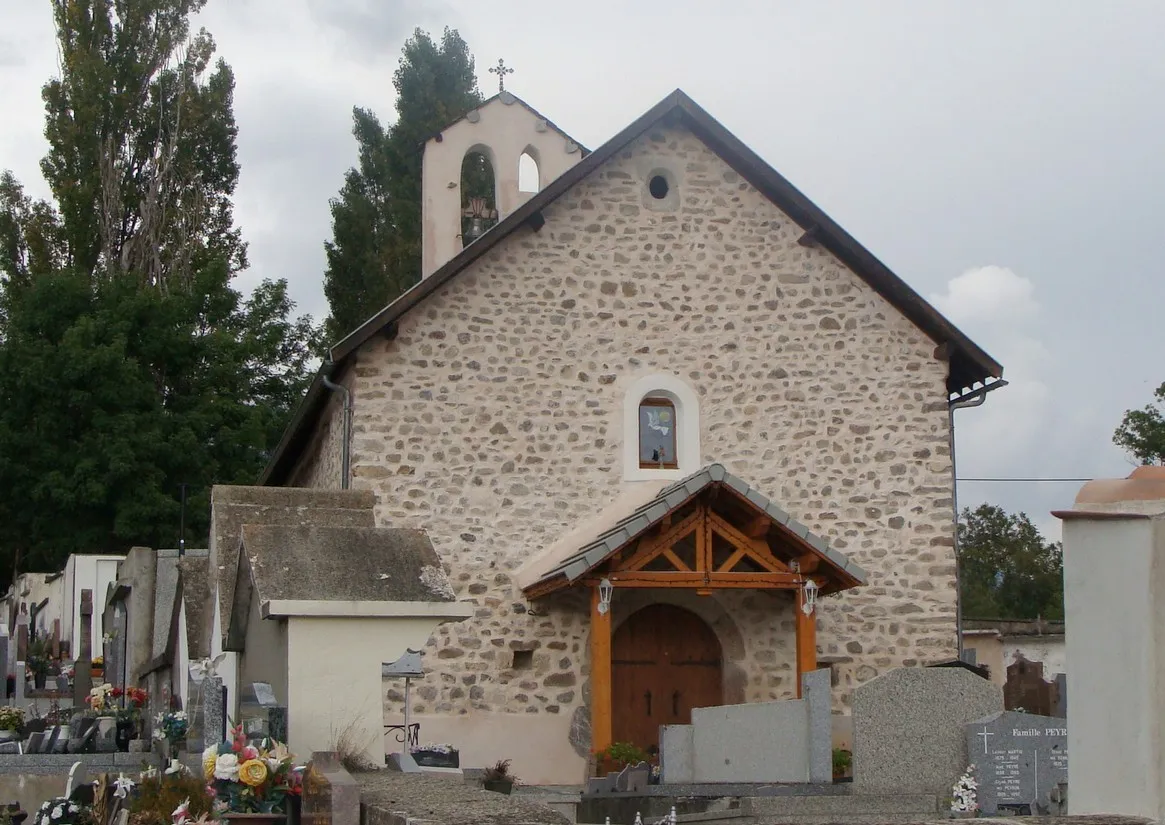
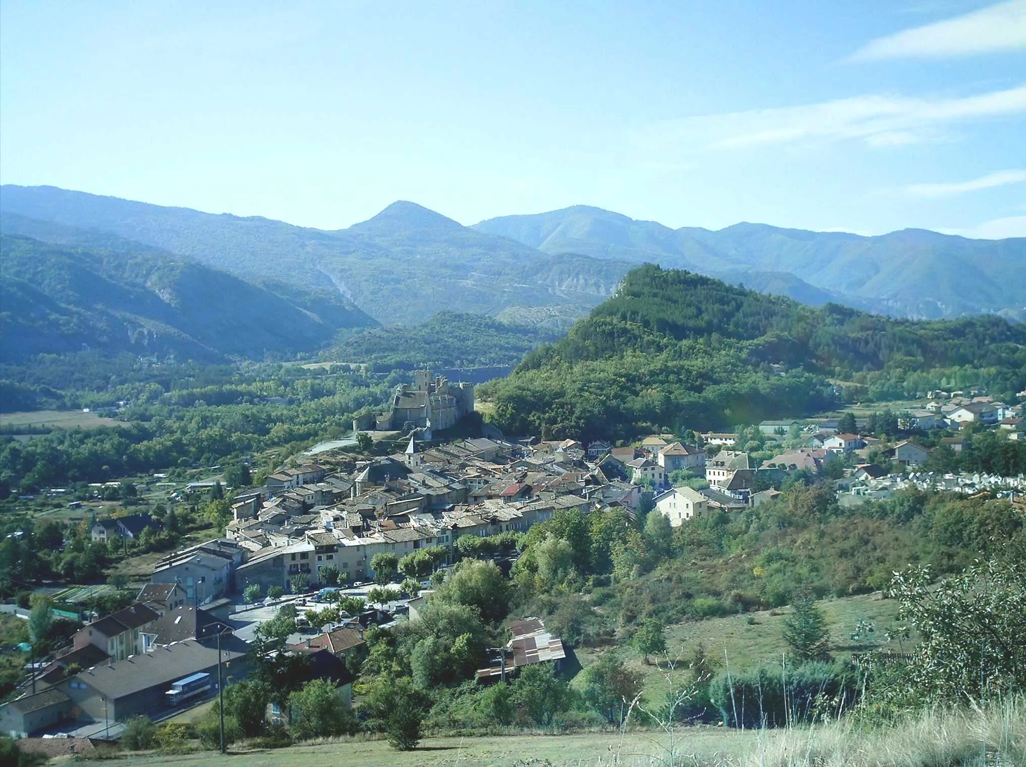
Saint-Vincent-les-FortsVillageSaint-Vincent-les-Forts is famous for its stunning lake and cliffs, making it a must-visit highlight along the route.
62 km
62 km
Col Saint-Jean1332 mMountain PassCol Saint-Jean is a challenging climb with spectacular panoramic views at the top. It's worth the effort for the scenery alone.
62 km
62 km
Montclar - Col Saint-JeanShelterMontclar - Col Saint-Jean offers a picturesque route with incredible views of the surrounding mountains and valleys. Enjoy the natural beauty as you ride.
84 km
84 km
Le Sauze-du-LacVillageLe Sauze-du-Lac is a charming village that sits on the shores of Lake Serre-Ponçon. Take a moment to enjoy the peaceful atmosphere before heading back.
84 km
84 km
Belvédère de Sauze du LacViewpointBelvédère de Sauze du Lac offers a stunning panoramic view of Lake Serre-Ponçon, the largest artificial lake in Europe.
95 km
95 km
Les CombettesViewpointLes Combettes is a lovely spot nestled in the mountains, offering a peaceful and scenic stop along the route.
107 km
107 km
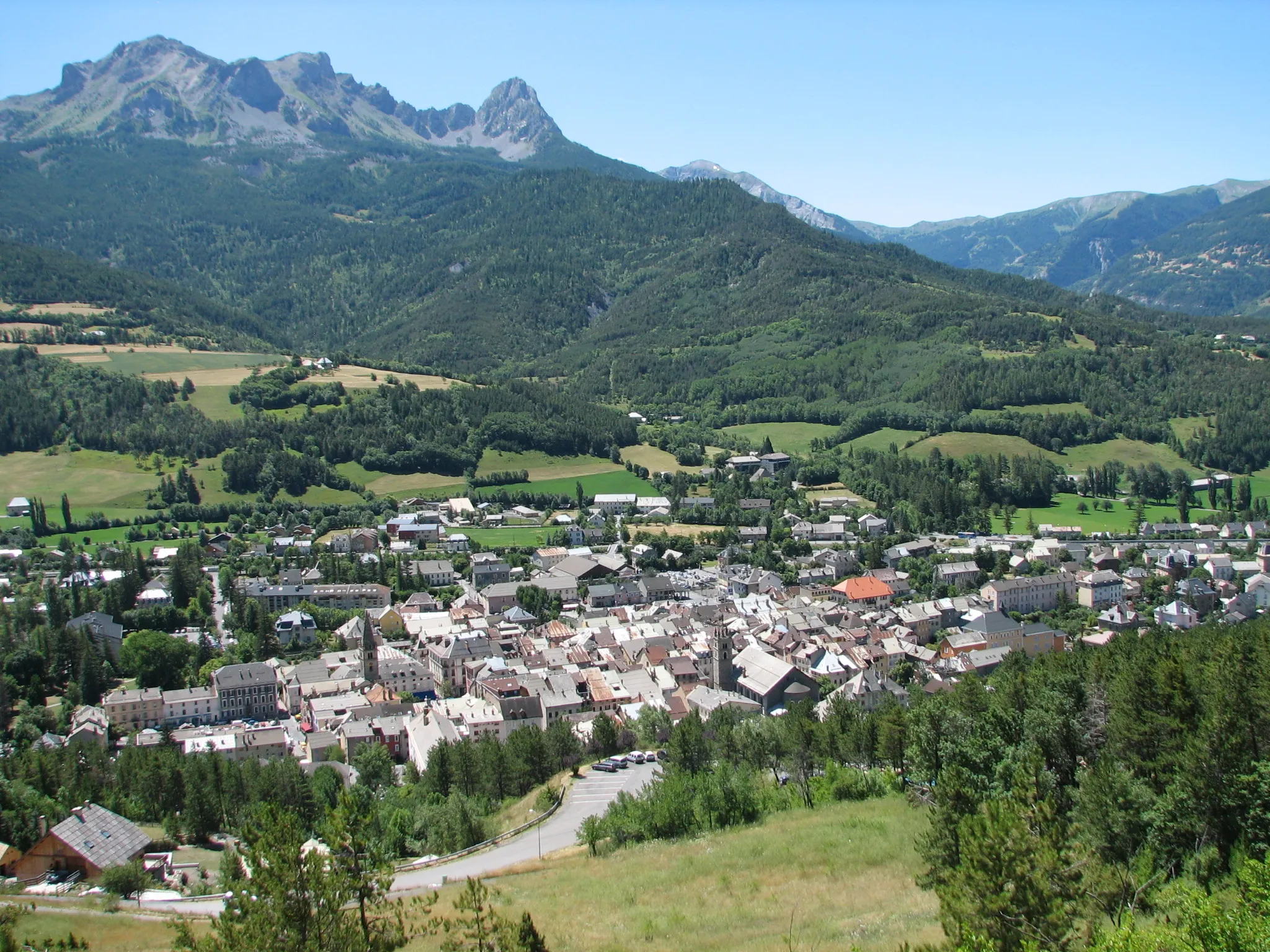
EmbrunVillageEmbrun is the starting and ending point of this route. It's a historic town with a beautiful cathedral and charming streets to explore after your ride.
107 km
107 km
Finish: Embrun Village centerEmbrun: Iconic climbs and stunning mountain views make Embrun a premier cycling destination.
Cycling routes from Embrun:
Cycling routes nearby: