Grand Tour of Nans-les-Pins
A road cycling route starting from Nans-les-Pins
A picturesque cycling experience through stunning landscapes
Map

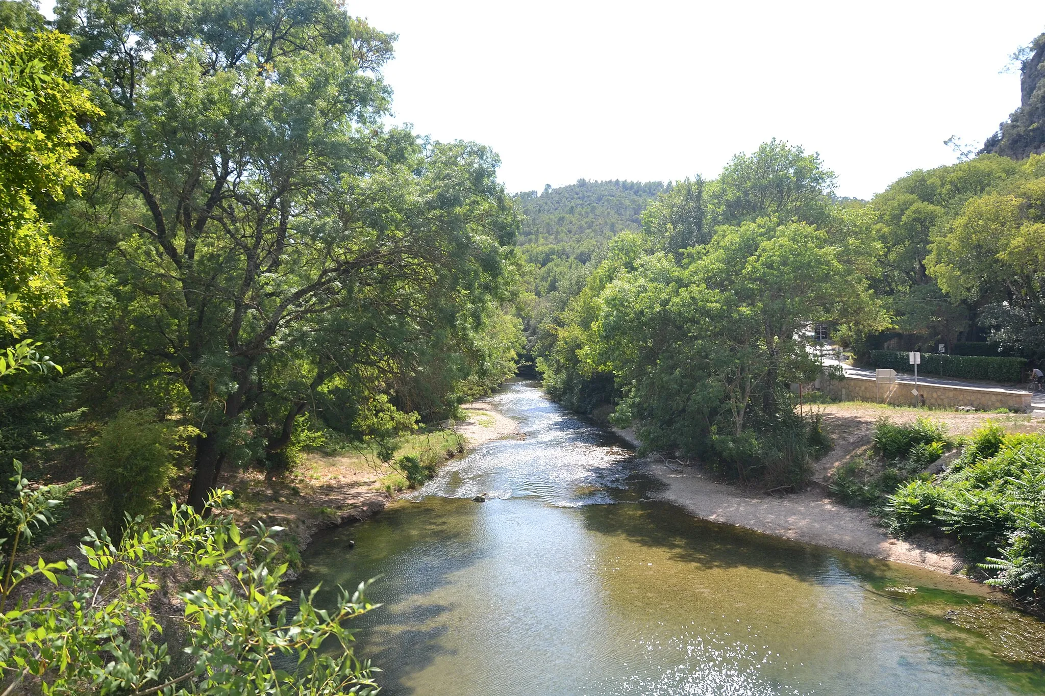
Embark on the Grand Tour of Nans-les-Pin and be mesmerized by the breathtaking beauty of Provence-Alpes-Côte d’Azur. This round-trip cycling route offers a combination of challenging ascents and tranquil descents, providing a diverse cycling experience for all enthusiasts. With a total ascent of 1,843 meters and a distance of 163 kilometers, this route is a perfect challenge for those seeking a memorable ride. Expect to encounter charming villages, historical sites, and picturesque views along the way.
road
163 km
1843 m
Tough
Route profile
Highlights on the route
0 km
0 km
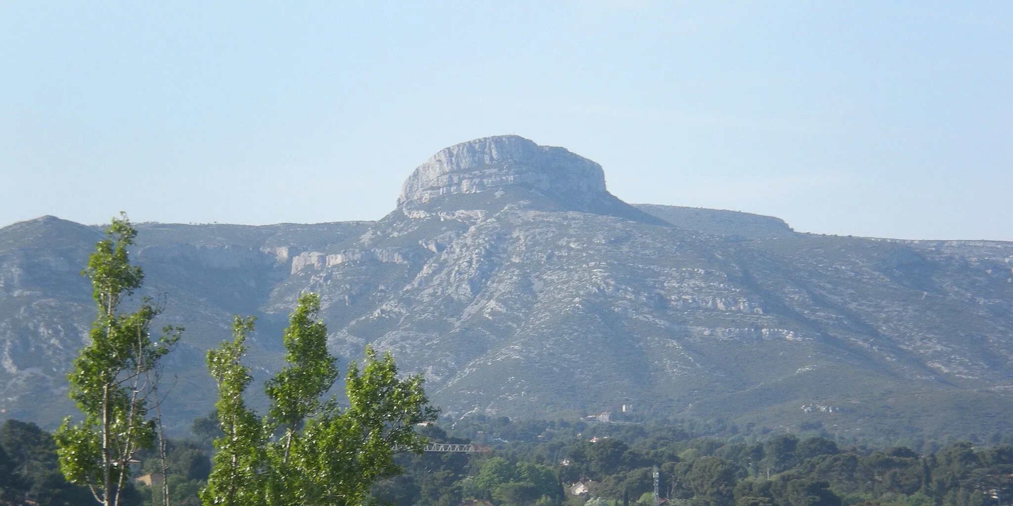
Start: Nans-les-Pins Village centerNans-les-Pins: Stunning landscapes, legendary climbs, and well-maintained routes in Provence-Alpes-Côte d’Azur.
Nans-les-Pins is a charming town located in the Provence-Alpes-Côte d’Azur region of France. For road and gravel cyclists, Nans-les-Pins is a fantastic destination. The area boasts stunning landscapes, challenging climbs, and well-maintained cycling routes. Mont Ventoux, one of the most legendary climbs in cycling history, is also within reach from Nans-les-Pins. Whether you're a beginner or an experienced cyclist, Nans-les-Pins has something to offer for everyone.15 km
15 km
Colle de Garrade341 mPeakLocated 15 kilometers into the route, the Colle de Garrade offers panoramic views of the surrounding countryside. Take a moment to appreciate the natural beauty before continuing your journey.
26 km
26 km
Collet de Baudusself313 mPeakAfter a challenging ascent, reach the Collet de Baudusself at the 26-kilometer mark. This peaceful mountain pass provides a serene atmosphere and a well-deserved rest stop.
27 km
27 km
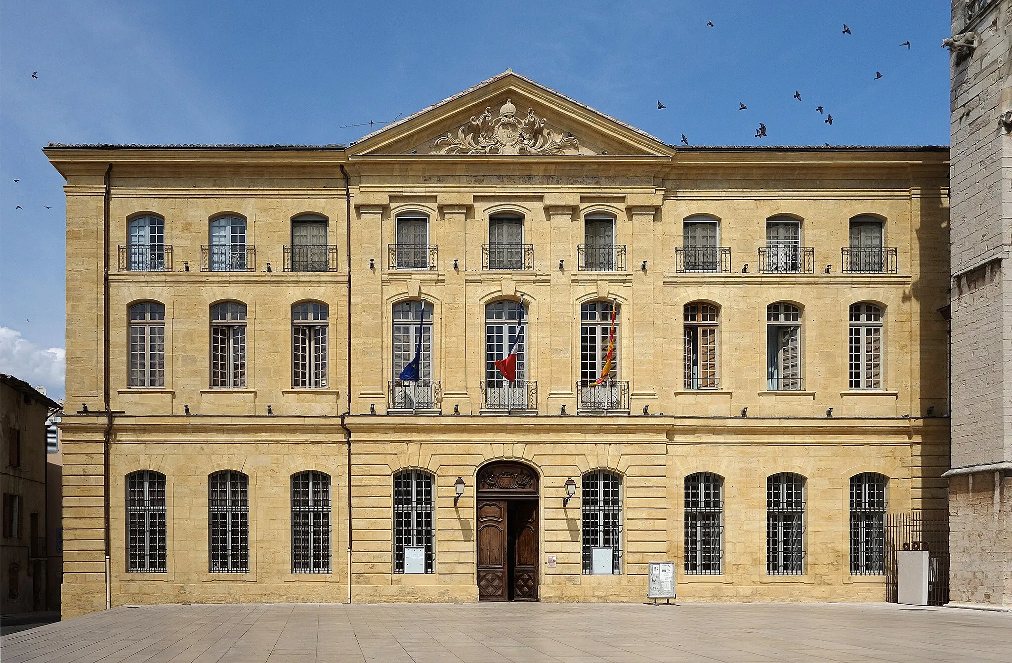
ChâteauvertVillageAt 27 kilometers into the route, you will pass by Châteauvert. This medieval village is known for its preserved architecture and rich cultural heritage. Explore its narrow streets and immerse yourself in the local history.
39 km
39 km
Montfort-sur-ArgensVillageThe charming village of Montfort-sur-Argens awaits you at the 39-kilometer mark. Admire the impressive Montfort Castle and take a stroll through its enchanting streets.
51 km
51 km
Les Grandes Pièces199 mPeakArrive at Les Grandes Pièces after a dynamic descent. This scenic spot offers a relaxing area to enjoy a picnic and soak in the surroundings.
75 km
75 km
TaradeauVillageTaradeau, located at the 75-kilometer mark, is a typical Provençal village known for its wine production. Stop by a local vineyard and savor the flavors of the region.
88 km
88 km
Bari du Vieux CannetViewpointAs you approach the 88-kilometer mark, Bari du Vieux Cannet greets you with its ancient olive trees. Learn about the history of olive cultivation and sample some exquisite olive oil.
89 km
89 km
Le Cannet-des-MauresVillageReach Le Cannet-des-Maures at the 89-kilometer mark, home to several wineries and a charming town center. Take a short break and enjoy the quaint surroundings.
102 km
102 km
La Roquette350 mPeakLa Roquette, located at the 102-kilometer mark, offers a glimpse into the Provençal lifestyle. Enjoy the tranquility of this village and indulge in local cuisine.
112 km
112 km
CarnoulesVillageCarnoules, situated at the 112-kilometer mark, is a historic town renowned for its railway heritage. Discover its vintage trains and learn about its transport history.
119 km
119 km
Pei Cau396 mPeakPei Cau, at the 119-kilometer mark, is a picturesque spot nestled in the heart of nature. Take a moment to appreciate the calmness and serenity of this area.
135 km
135 km
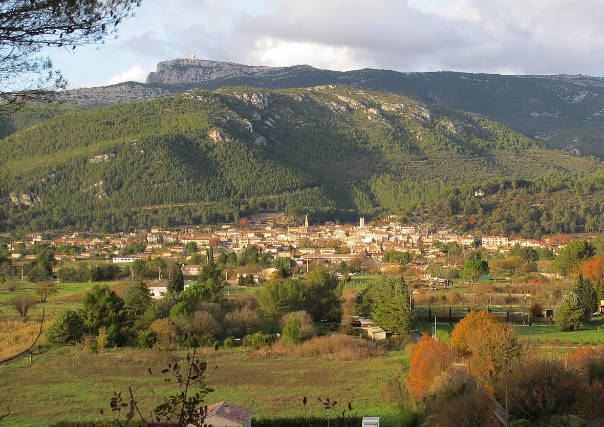
La RoquebrussanneVillageReach La Roquebrussanne at 135 kilometers into the route. This charming village is surrounded by stunning hills and offers a unique opportunity for nature lovers.
148 km
148 km
Glacière PivautCastle RuinsAt the 148-kilometer mark, you'll come across Glacière Pivaut, a historic icehouse. Explore this fascinating structure and learn about its role in preserving food in the past.
154 km
154 km
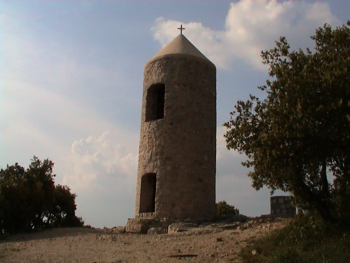
Jouc de l'Aigle1148 mPeakJouc de l'Aigle sits at 154 kilometers into the route. This peak boasts breathtaking views of the Provençal landscape. Marvel at the panoramic vistas and snap some memorable photos.
162 km
162 km
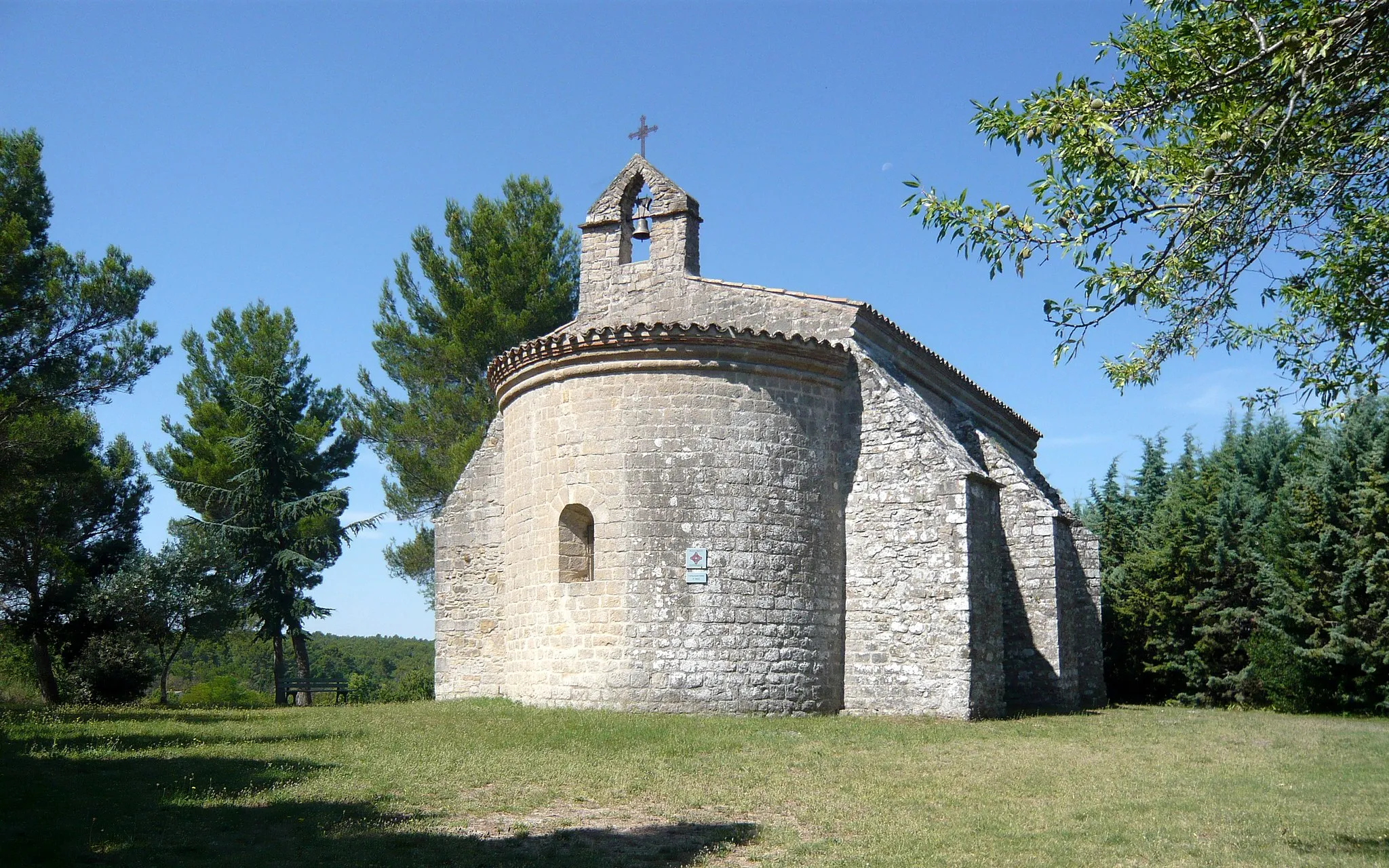
Ruines du Vieux NansCastle RuinsRuines du Vieux Nans, located at 162 kilometers into the route, preserves the remnants of an ancient village. Take a moment to reflect on the history of this fascinating site.
162 km
162 km
Collet Redon418 mPeakAs you approach the end of your journey, Collet Redon offers a tranquil setting to savor your achievement. The peaceful ambiance and picturesque views make it a worthy finale.
163 km
163 km
Finish: Nans-les-Pins Village centerNans-les-Pins: Stunning landscapes, legendary climbs, and well-maintained routes in Provence-Alpes-Côte d’Azur.
Cycling routes from Nans-les-Pins:
Saint-Zacharie Loop Fuveau Circuit Aix-en-Provence Exploration Gravel Adventure in Saint-Jean du Puy Exploring Saint-Maximin-la-Sainte-Baume Exploring Saint-Pilon and Dents de Roque Forcade Scenic Gravel Adventure Challenging Gravel Route with Néoules and Belgentier Venturing to Glacière Pivaut and La Quille de la Taoule Grand Tour of Nans-les-Pins
Cycling routes nearby: