The Boucle de Pourrières
A gravel cycling route starting from Puyloubier
Discover the beauty of Pourrières and its surroundings
Map
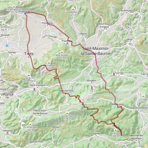
This gravel route starting near Puyloubier offers a stunning cycling experience with a total distance of 103 kilometers and an ascent of 2011 meters. The highlight of the tour is a visit to the village of Pourrières, located just 6 kilometers from the starting point. Explore the narrow streets and historical sites of Pourrières, and don't miss the opportunity to taste the local wines produced in the area. With its challenging terrain and scenic landscapes, this route is perfect for adventure-seeking cyclists.
gravel
103 km
2011 m
Savage
Route profile
Highlights on the route
0 km
0 km
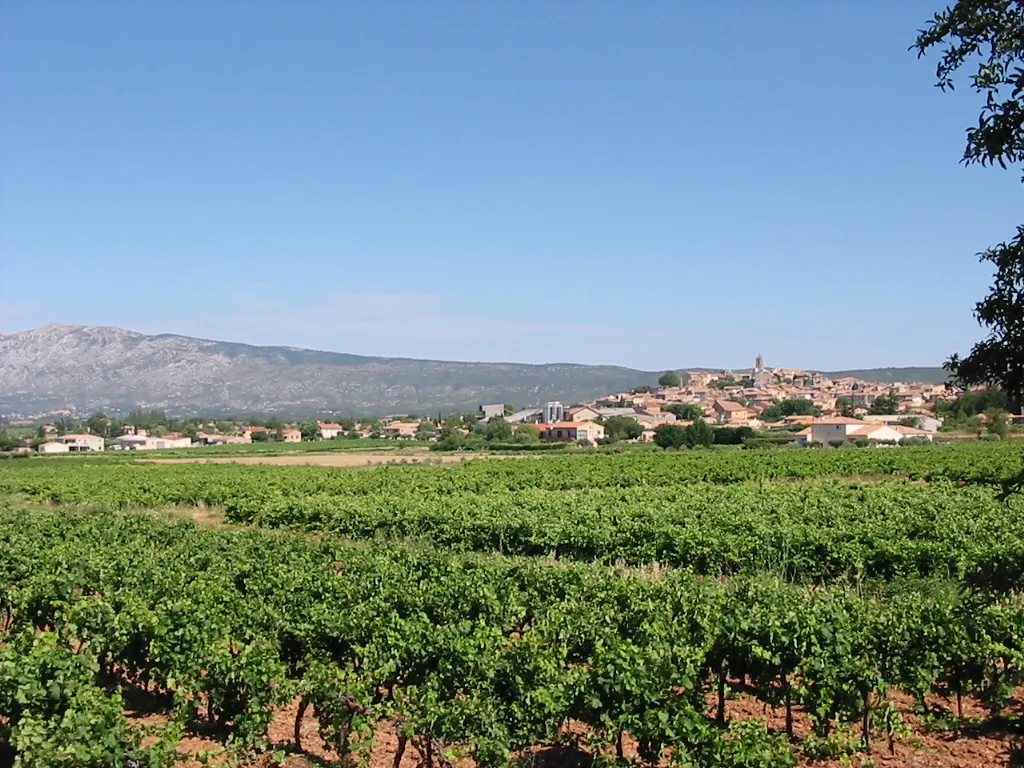
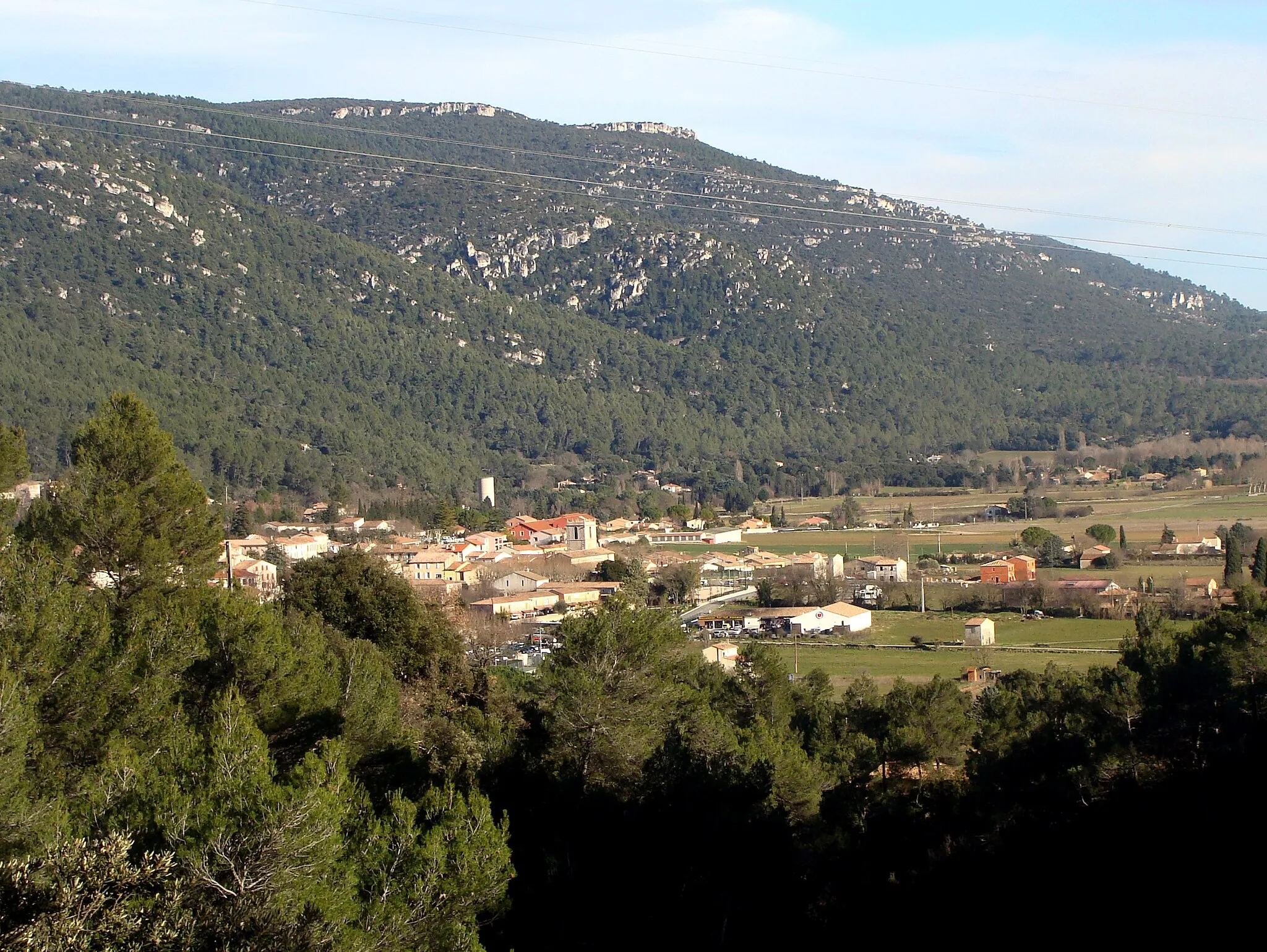
Start: Puyloubier Village centerPuyloubier: Wine and cycling in Puyloubier
Puyloubier is a small village located in Provence-Alpes-Côte d’Azur region of France. It offers scenic routes for road and gravel cyclists, with stunning views of the surrounding mountains and vineyards. The area is known for its wine production and picturesque landscapes, providing a delightful backdrop for cycling enthusiasts. Nearby, you can find the famous climb of Mont Ventoux, a challenging route for experienced cyclists. With its charming atmosphere and diverse cycling routes, Puyloubier is a great destination for cyclists of all levels.6 km
6 km
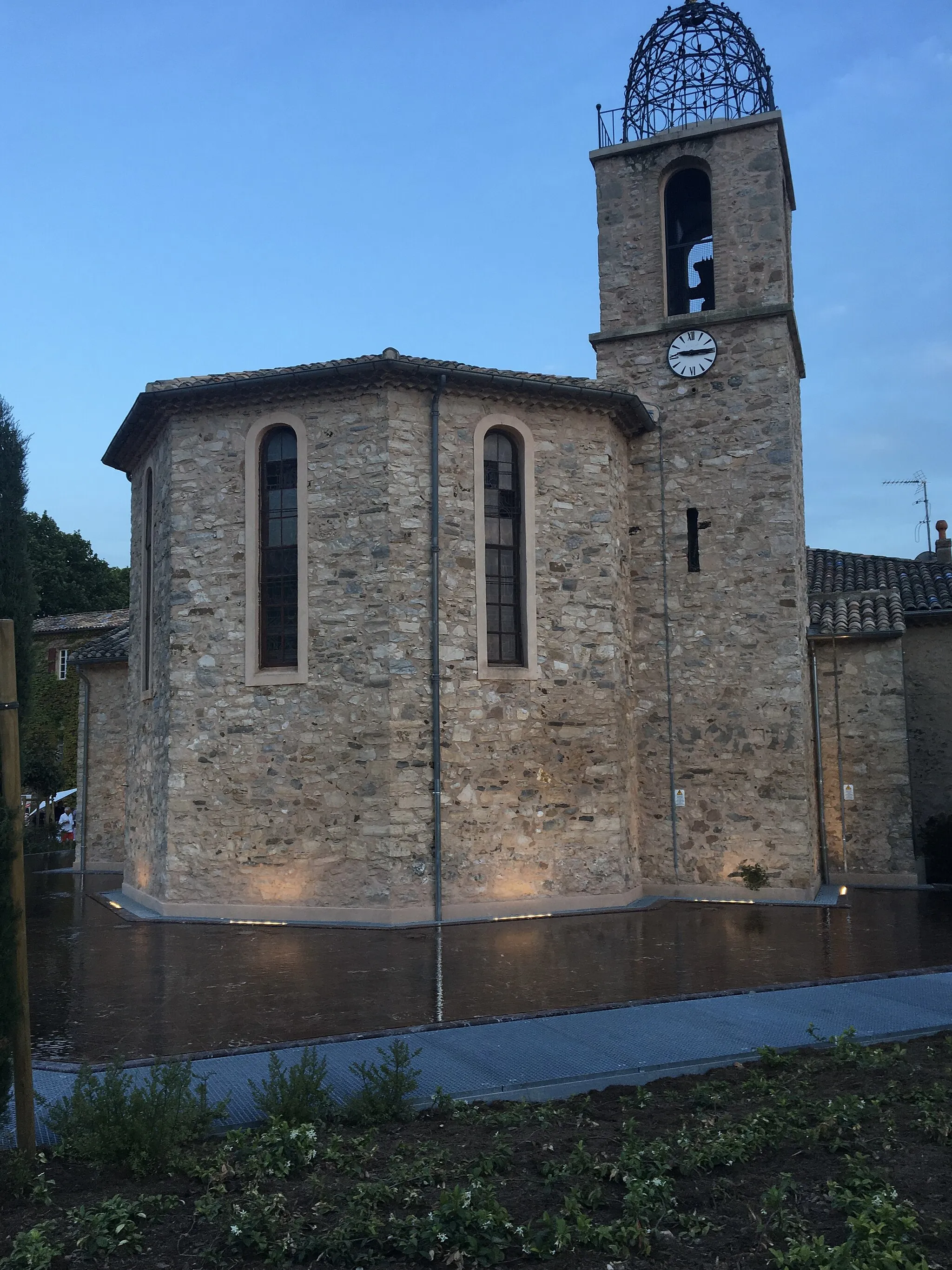
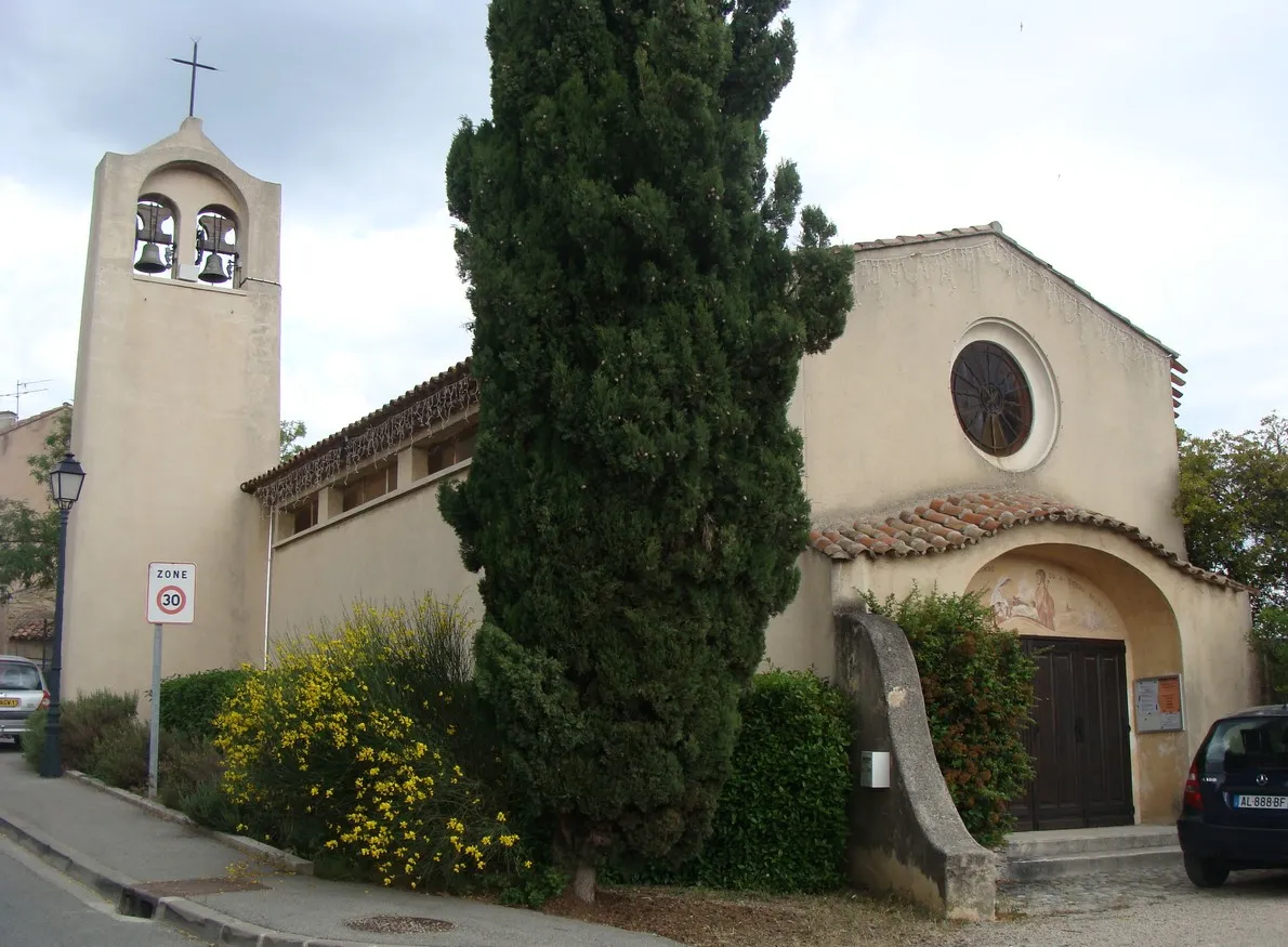
PourrièresVillagePass through the village of Pourrières, known for its picturesque streets and traditional Provençal atmosphere.
10 km
10 km
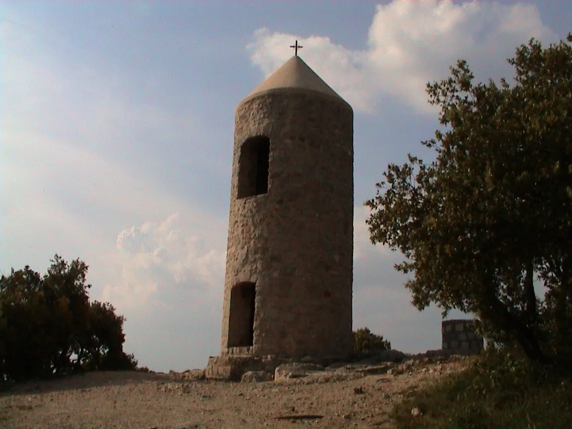
Collet de Mourgues299 mPeakConquer the challenging Collet de Mourgues, a renowned climb that offers stunning views of the surrounding countryside.
21 km
21 km
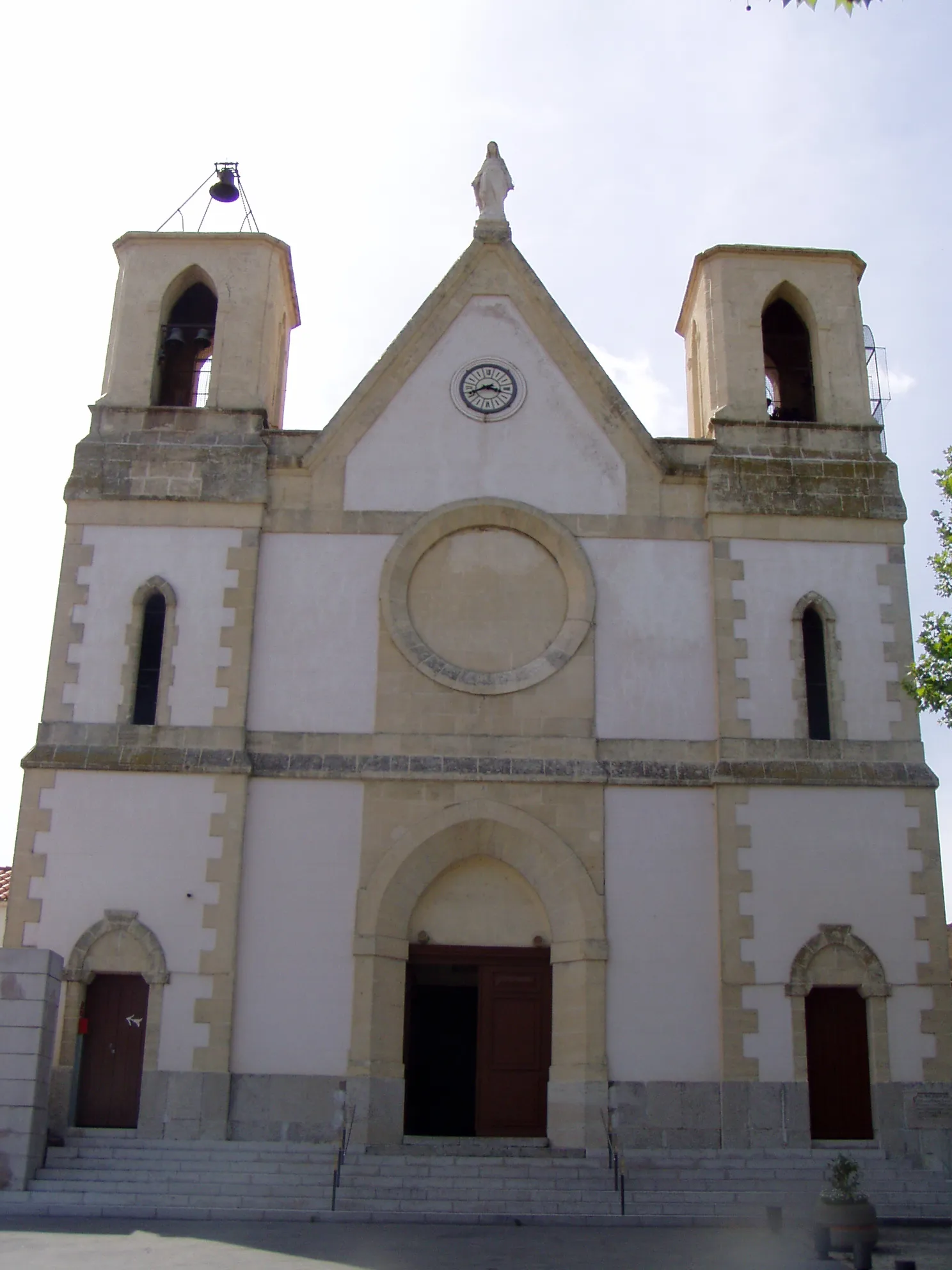
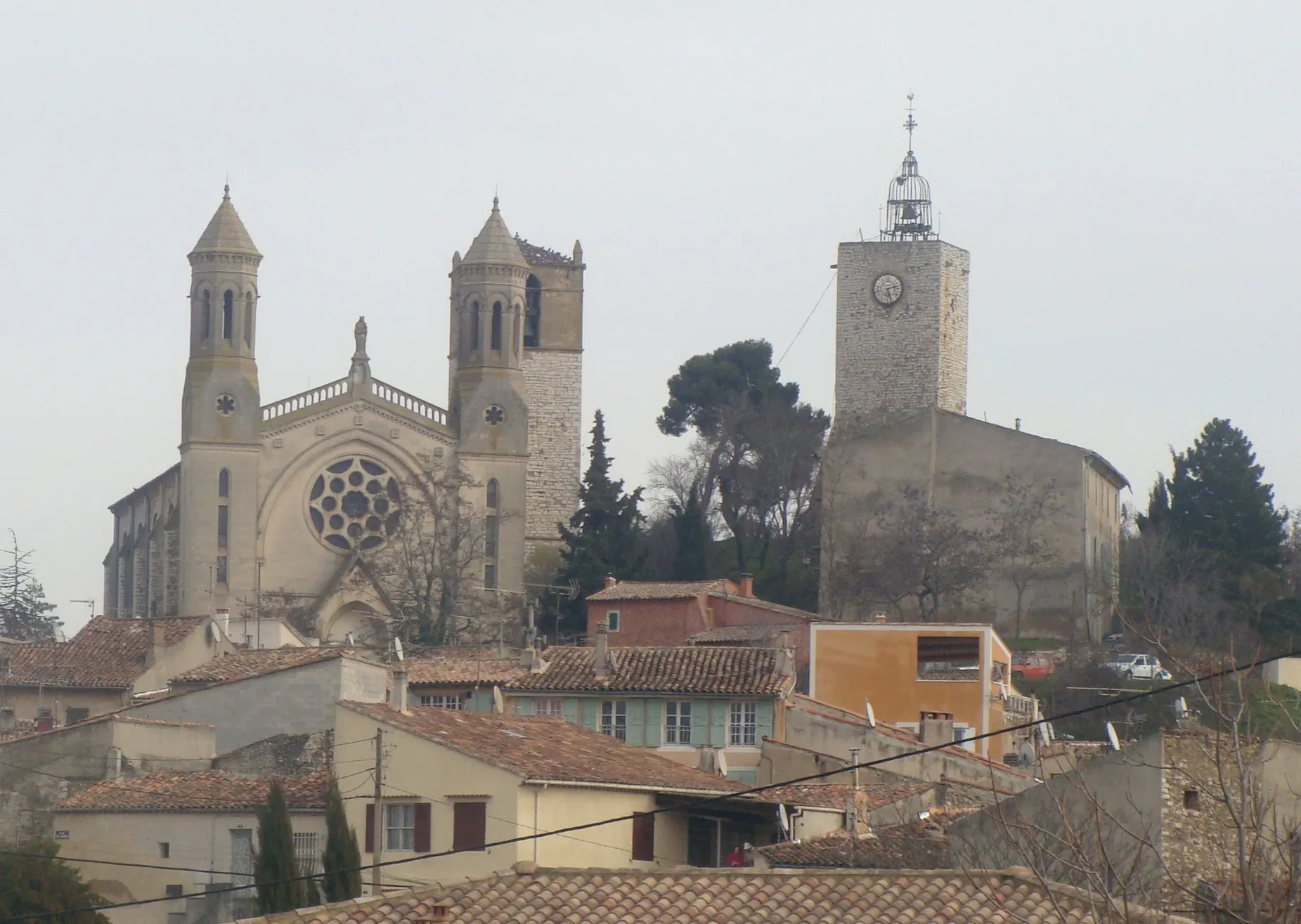
Saint-Maximin-la-Sainte-BaumeTownVisit the historic town of Saint-Maximin-la-Sainte-Baume, home to one of the largest Gothic basilicas in France.
31 km
31 km
Casteleret486 mRuinsDiscover Casteleret, a picturesque village perched on a hilltop, offering panoramic views of the surrounding landscapes.
46 km
46 km
Bau de Serein826 mPeakAdmire Bau de Serein, a natural rock formation that showcases the geological wonders of the region.
57 km
57 km
Le Mourre d'Agnis919 mPeakChallenge yourself on the climb to Le Mourre d'Agnis, the highest point in the region, offering breathtaking views from the summit.
75 km
75 km
Nans-les-PinsVillagePass through Nans-les-Pins and explore the vibrant village with its charming streets and colorful houses.
89 km
89 km
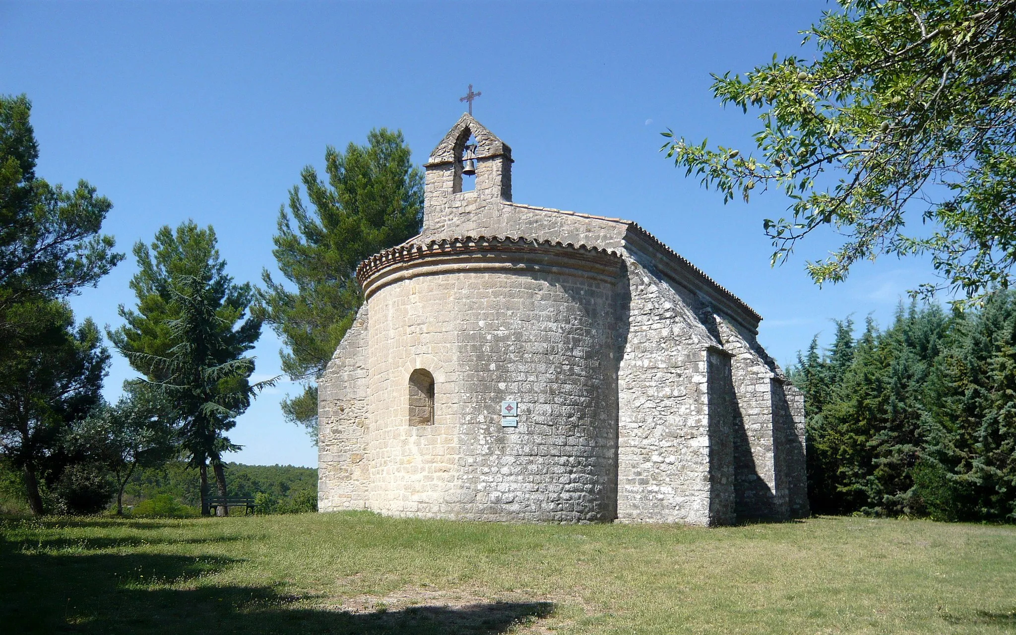
Saint-Jean du PuyViewpointTake a detour to Saint-Jean du Puy, a small village known for its medieval castle and scenic setting.
103 km
103 km
PuyloubierVillageStart and finish your cycling journey in Puyloubier, a picturesque village surrounded by vineyards and olive groves.
103 km
103 km
Finish: Puyloubier Village centerPuyloubier: Wine and cycling in Puyloubier
Cycling routes from Puyloubier:
The Beaumort Adventure La Dispute Challenge Fuveau Exploration The Rolling Hills Tour Puyloubier to Pourrières Journey to Rians The Boucle de Pourrières Puyloubier Gravel Adventure The Saint-Maximin Loop Valensole loop The Gravel Spin Gravel Route from Puyloubier to Ollières Gravel Route from Puyloubier to Saint-Martin-de-Pallières Gravel Route from Puyloubier to Saint-Martin-de-Pallières Gravel Route from Puyloubier to Varages Puyloubier - Pourrières - Collet de Mourgues - Saint-Maximin-la-Sainte-Baume - Collet Redon - Nans-les-Pins - Saint-Zacharie - Pas de la Couelle - Trets - Puyloubier
Cycling routes nearby: