Puyloubier to Pourrières
A road cycling route starting from Puyloubier
A challenging road cycling route with stunning views.
Map
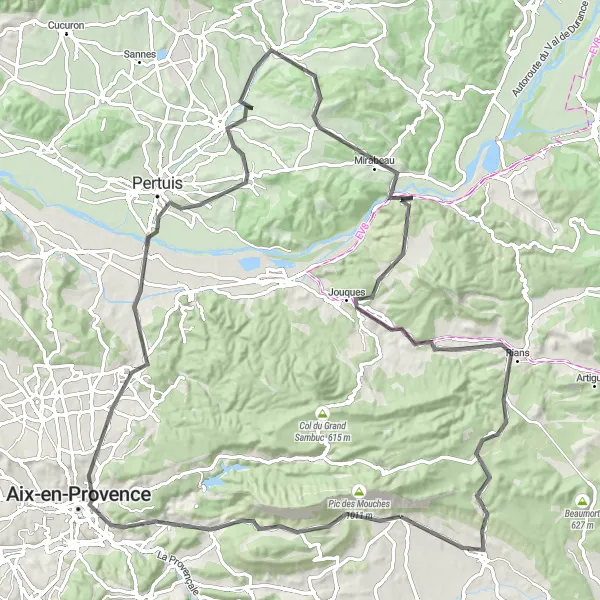
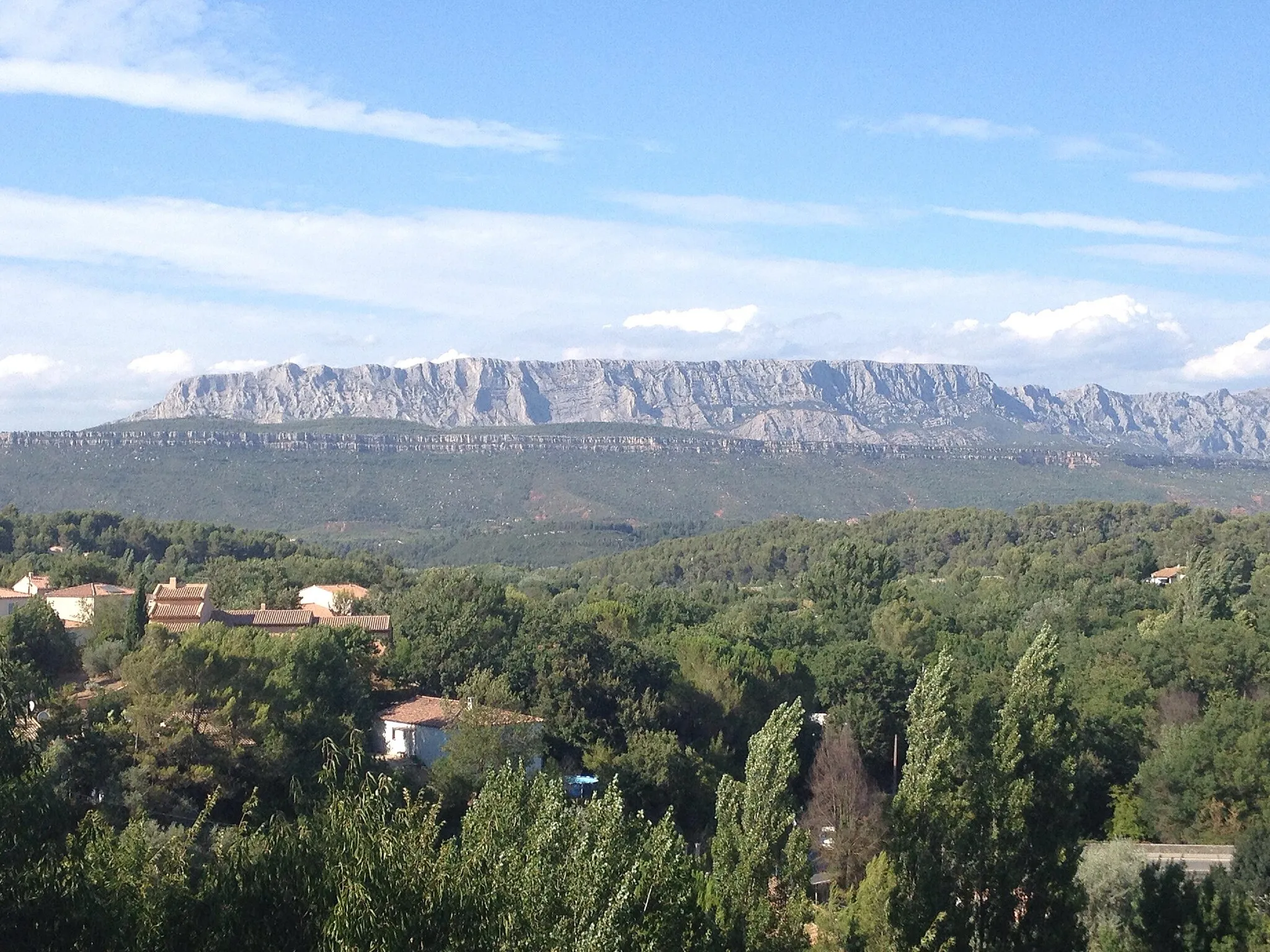
The Puyloubier to Pourrières route is a challenging road cycling adventure that offers breathtakingly beautiful views of the Provence-Alpes-Côte d’Azur region. With a total distance of 110km and an ascent of 1516m, this route is perfect for well-trained amateur cyclists looking for a thrilling ride. Along the way, you'll pass through picturesque towns like Beaurecueil and Venelles, where you can take a break and soak in the local charm. The highlight of this route is the ancient Pont de Mirabeau, a historic bridge over the Durance river, offering a unique opportunity to appreciate both history and natural beauty. With a difficulty rating of 4 and an epicness rating of 4, this route is sure to satisfy even the most adventurous cyclists.
road
110 km
1516 m
Tough
Route profile
Highlights on the route
0 km
0 km
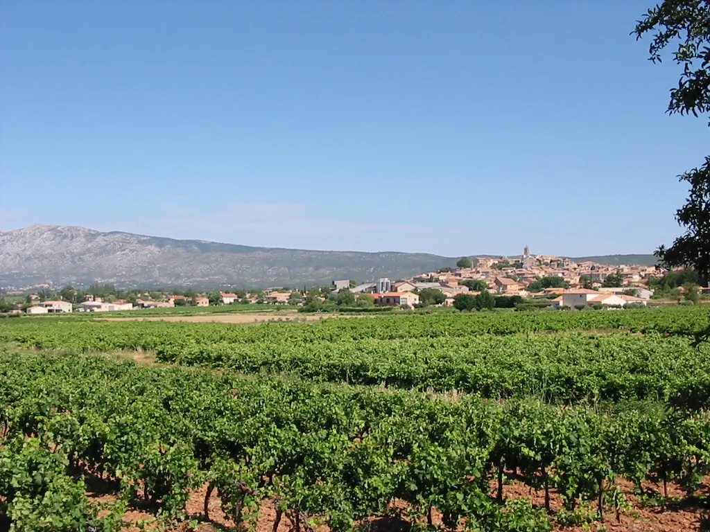
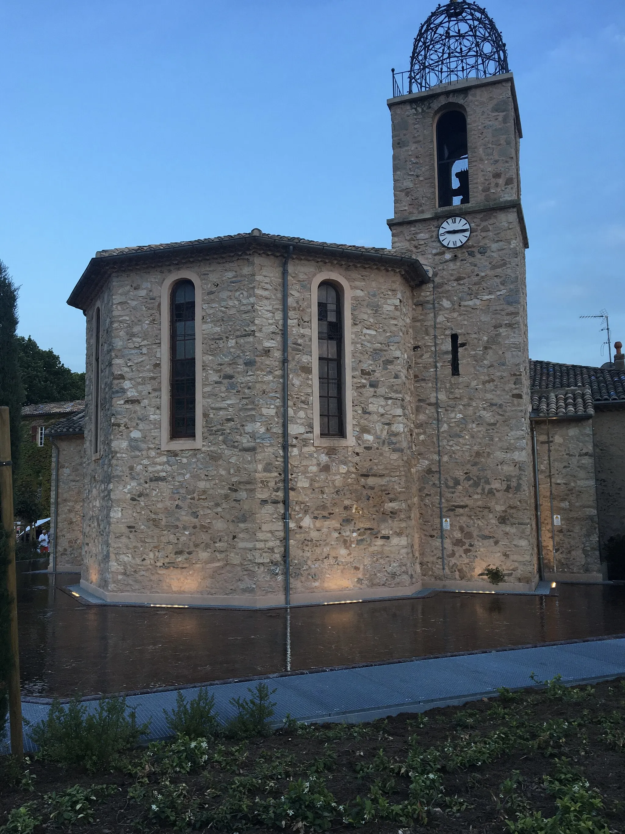
Start: Puyloubier Village centerPuyloubier: Wine and cycling in Puyloubier
Puyloubier is a small village located in Provence-Alpes-Côte d’Azur region of France. It offers scenic routes for road and gravel cyclists, with stunning views of the surrounding mountains and vineyards. The area is known for its wine production and picturesque landscapes, providing a delightful backdrop for cycling enthusiasts. Nearby, you can find the famous climb of Mont Ventoux, a challenging route for experienced cyclists. With its charming atmosphere and diverse cycling routes, Puyloubier is a great destination for cyclists of all levels.12 km
12 km
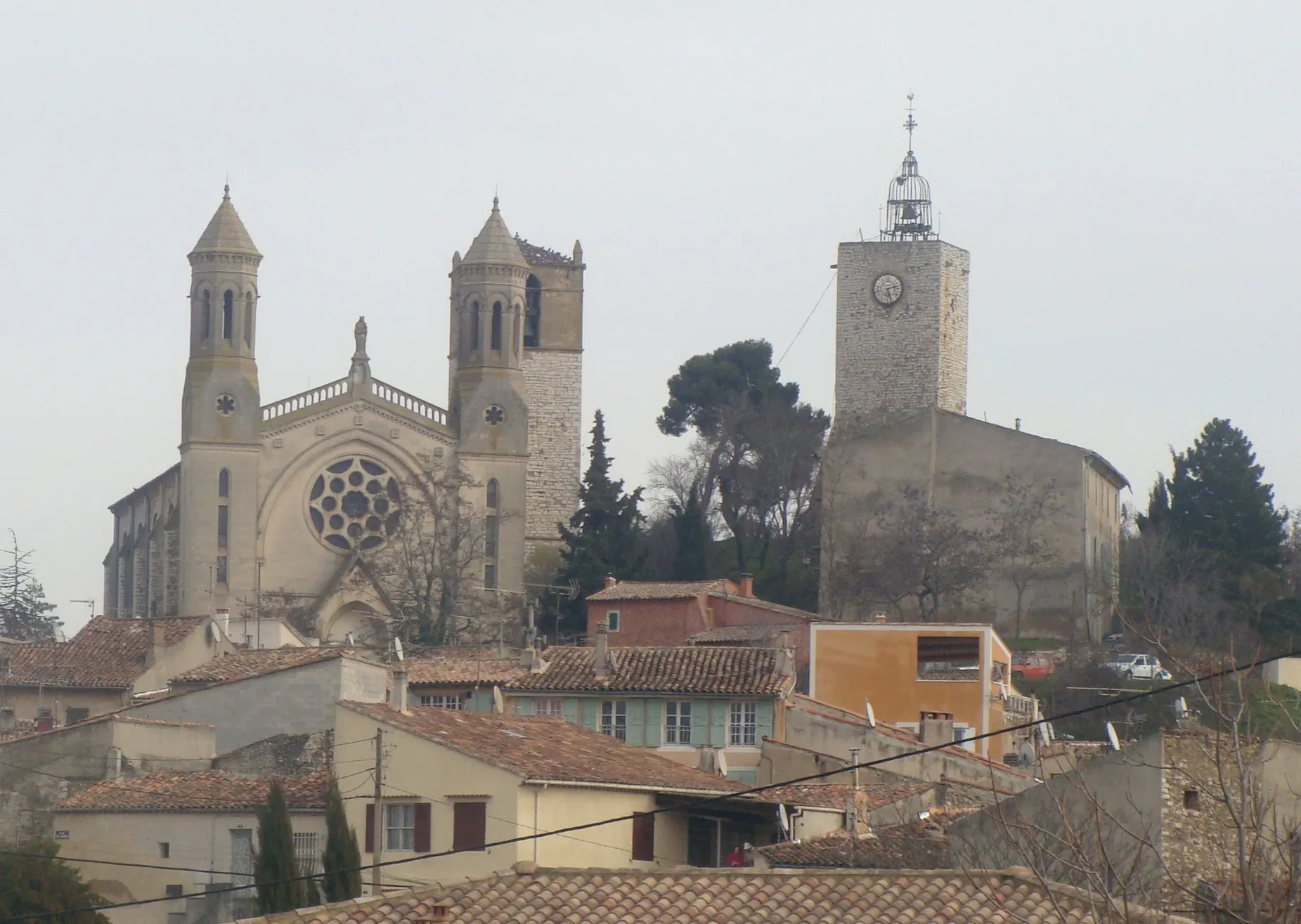
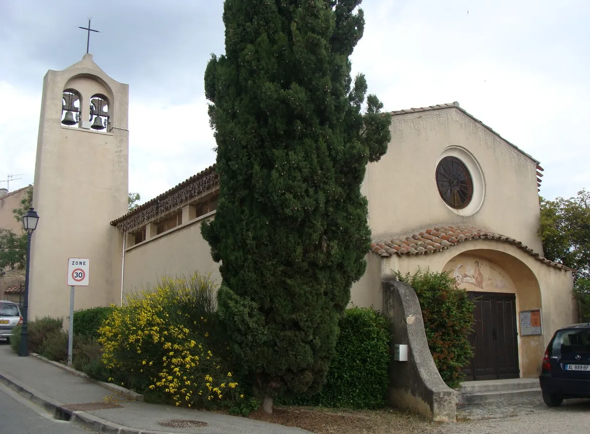
BeaurecueilVillageBeaurecueil is a charming village known for its stunning landscapes and quaint streets.
28 km
28 km
VenellesVillageVenelles is a picturesque town with beautiful architecture and a vibrant local culture.
29 km
29 km
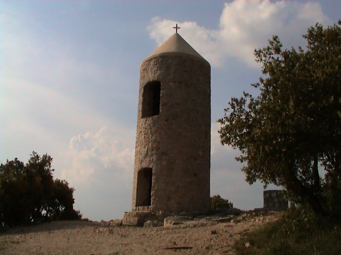
Collet Redon435 mPeakCollet Redon offers breathtaking views from the top, making it a must-stop spot during your ride.
48 km
48 km
La Tour-d'AiguesVillageLa Tour-d'Aigues is a historic village known for its impressive castle and panoramic views.
56 km
56 km
GramboisVillageGrambois is a charming hilltop village with beautiful architecture and stunning views of the surrounding countryside.
69 km
69 km
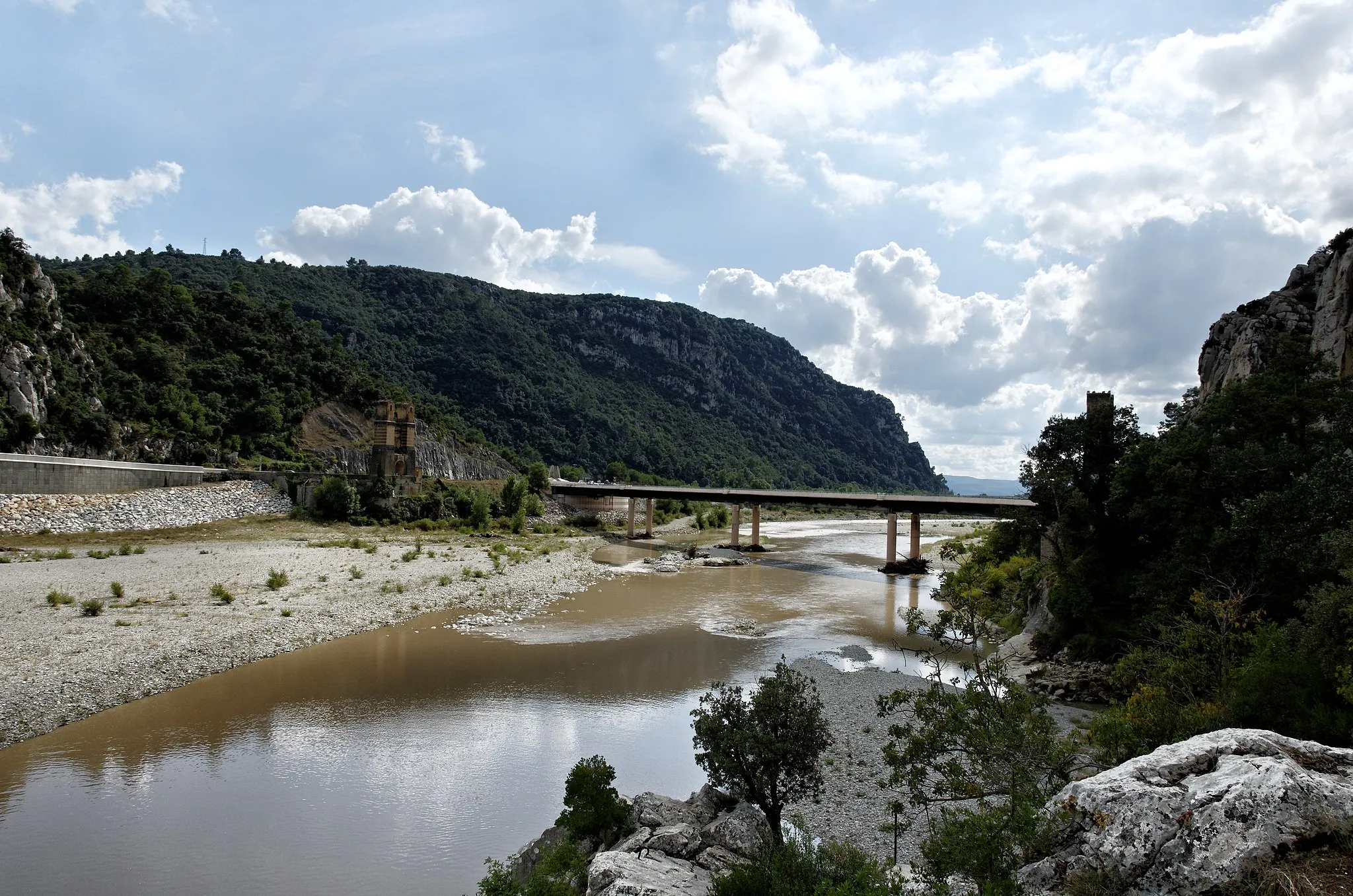
Durance -ancien Pont de MirabeauViewpointThe Durance river and its ancient Pont de Mirabeau are a true scenic gem, offering a perfect spot for a rest and enjoying the natural beauty of the region.
88 km
88 km
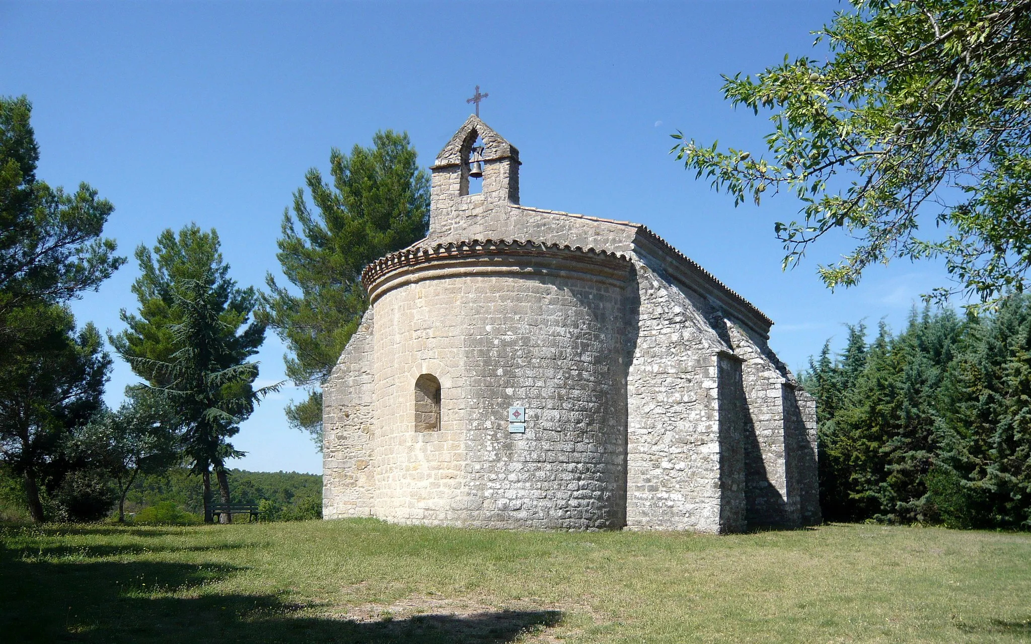
Le Devenson434 mPeakLe Devenson is a picturesque village with narrow streets and beautiful old houses, offering a unique glimpse into the region's history.
91 km
91 km
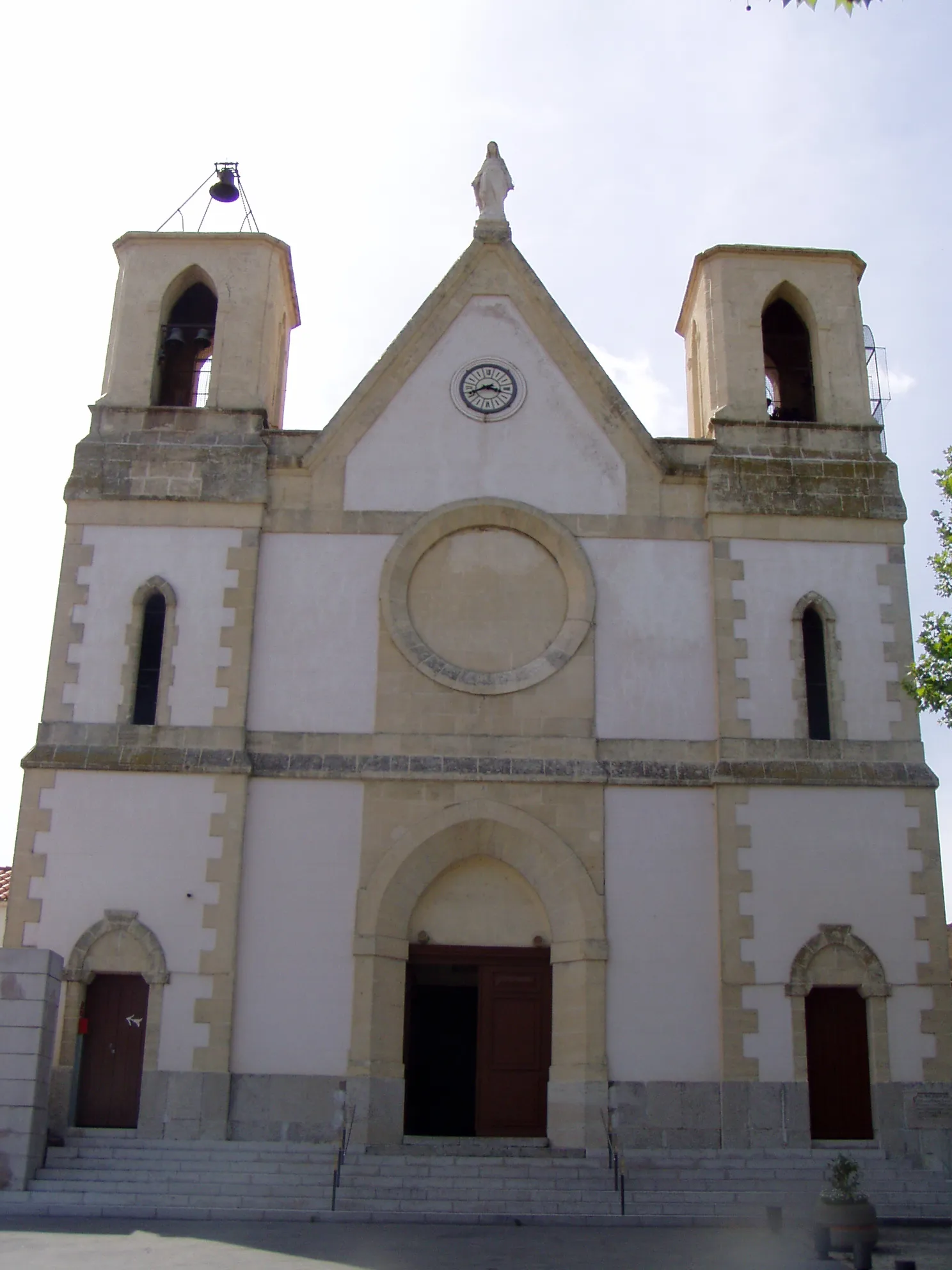
RiansVillageRians is a quaint village known for its charming streets and historic buildings.
99 km
99 km
La Dispute571 mPeakLa Dispute is a challenging climb that rewards cyclists with breathtaking views at the top.
105 km
105 km
PourrièresVillagePourrières is a small village known for its charming atmosphere and stunning countryside views.
110 km
110 km
Finish: Puyloubier Village centerPuyloubier: Wine and cycling in Puyloubier
Cycling routes from Puyloubier:
The Beaumort Adventure La Dispute Challenge Fuveau Exploration The Rolling Hills Tour Puyloubier to Pourrières Journey to Rians The Boucle de Pourrières Puyloubier Gravel Adventure The Saint-Maximin Loop Valensole loop The Gravel Spin Gravel Route from Puyloubier to Ollières Gravel Route from Puyloubier to Saint-Martin-de-Pallières Gravel Route from Puyloubier to Saint-Martin-de-Pallières Gravel Route from Puyloubier to Varages Puyloubier - Pourrières - Collet de Mourgues - Saint-Maximin-la-Sainte-Baume - Collet Redon - Nans-les-Pins - Saint-Zacharie - Pas de la Couelle - Trets - Puyloubier
Cycling routes nearby: