Scenic Journey
A road cycling route starting from Rousset
Embark on a scenic journey through charming villages and dramatic landscapes.
Map
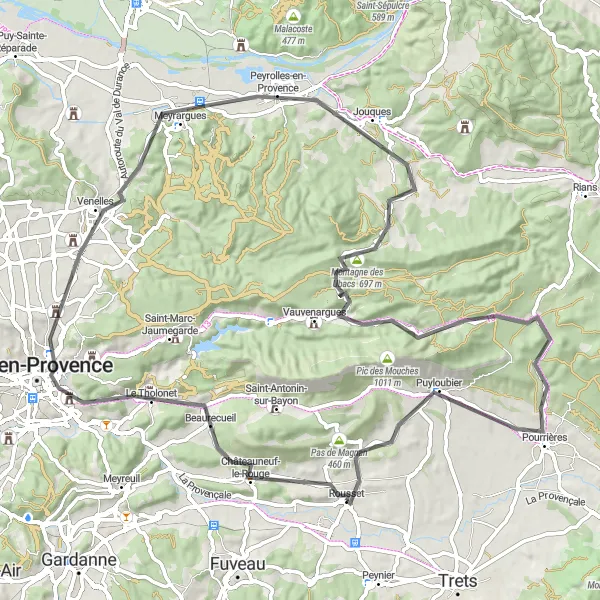
This 87-kilometer road route showcases the beauty of Provence-Alpes-Côte d’Azur. With an ascent of 1187 meters, it offers a challenging ride for experienced cyclists. Starting near Rousset, you will pass through highlights such as Châteauneuf-le-Rouge, Aix-en-Provence, Collet Redon, Peyrolles-en-Provence, Montagne des Ubacs, La citadelle, Pourrières, before reaching Rousset. Immerse yourself in the region's culture, history, and natural wonders.
road
87 km
1187 m
Tough
Route profile
Highlights on the route
0 km
0 km
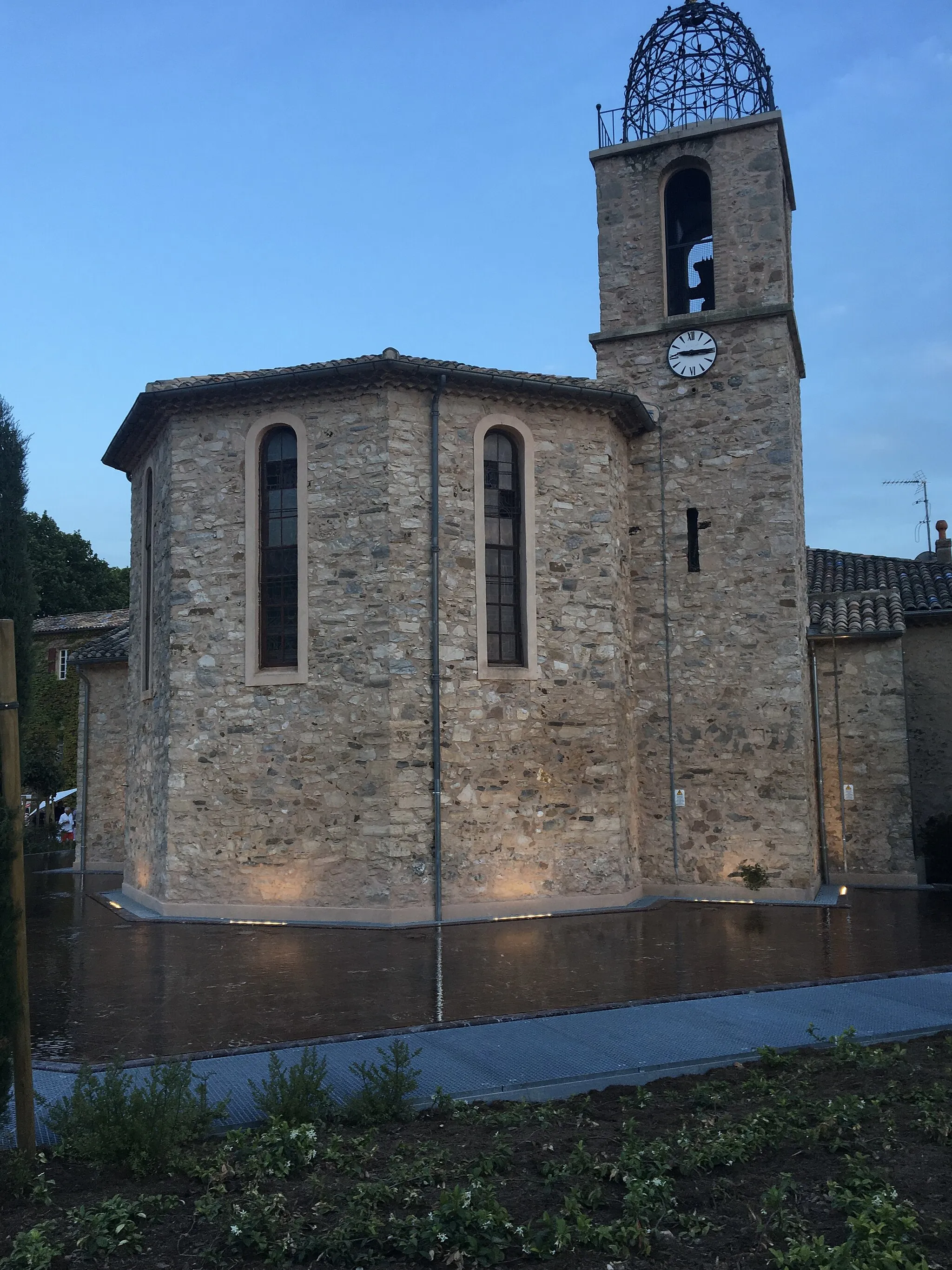
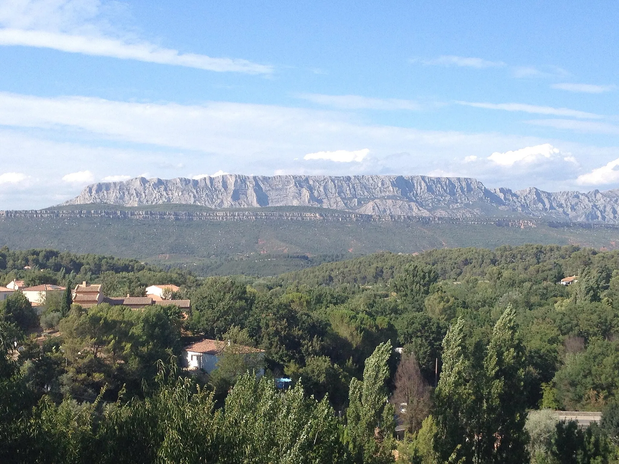
Start: Rousset Village centerRousset: Cycling amidst the landscapes of Cézanne and Mont Sainte-Victoire
Rousset, located in the Provence-Alpes-Côte d'Azur region of France, offers a variety of cycling experiences for road and gravel cyclists. The area features scenic routes through rolling hills and picturesque landscapes. Cyclists can also explore the famous Mont Sainte-Victoire, an iconic climb known for its association with the artist Paul Cézanne. Rousset provides an excellent base for cycling enthusiasts looking to enjoy the natural beauty of Provence.5 km
5 km
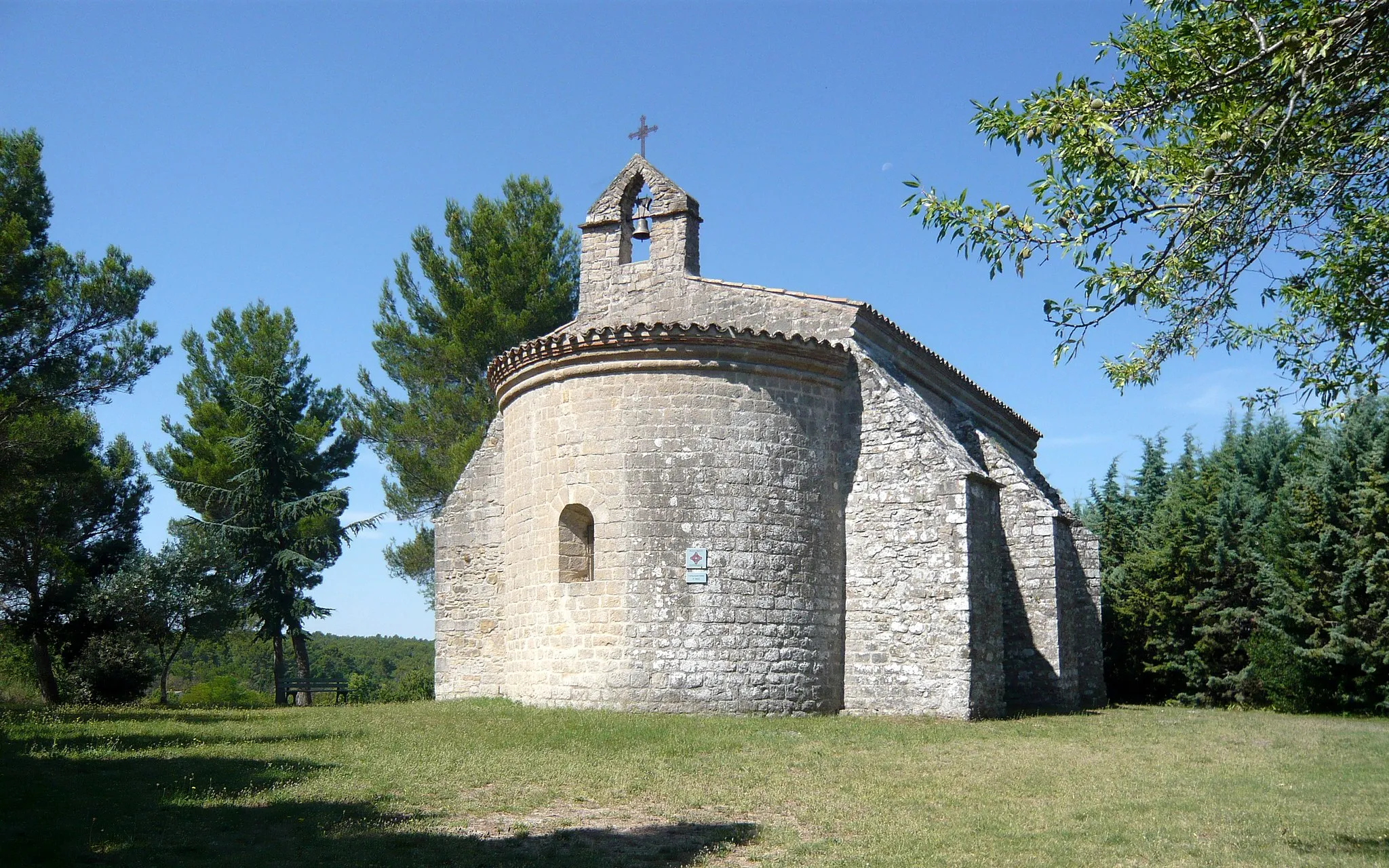
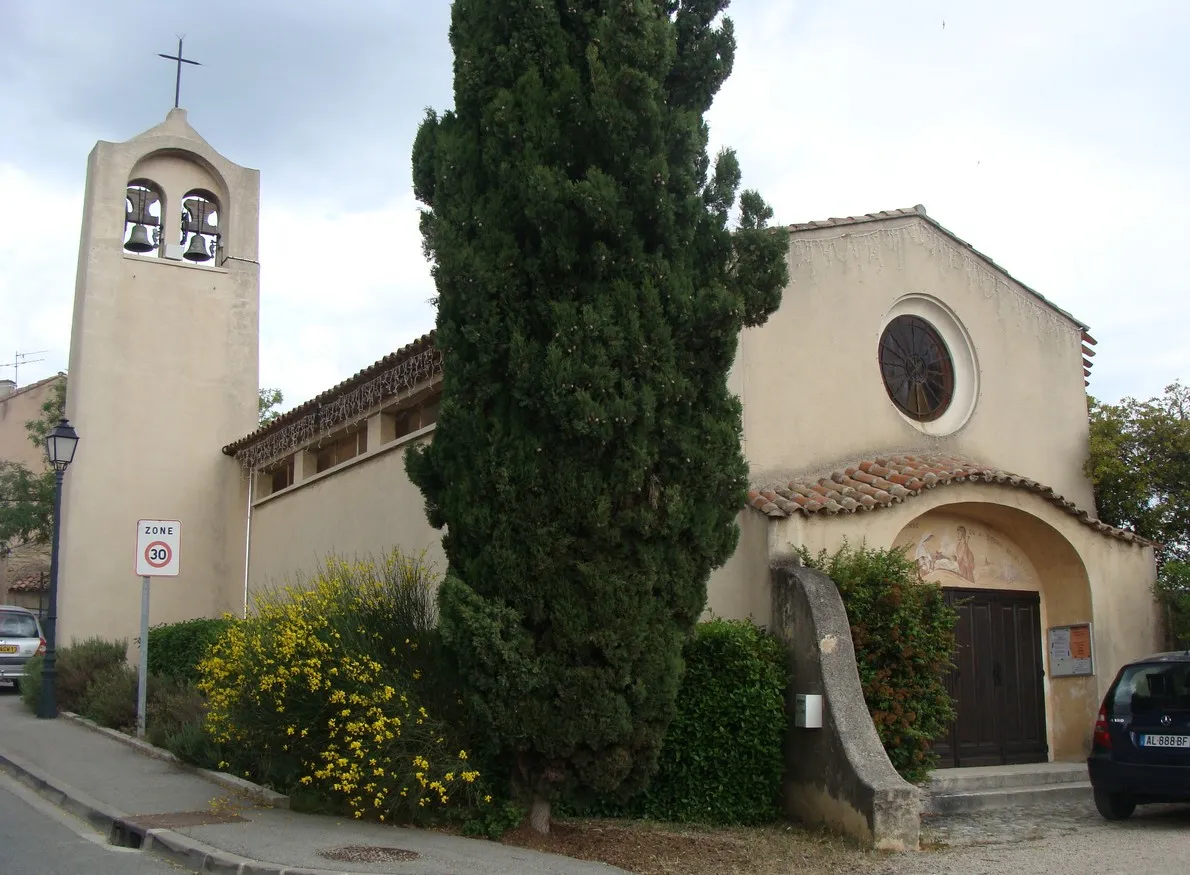
Châteauneuf-le-RougeVillageVisit Châteauneuf-le-Rouge, a charming village known for its picturesque streets and historic buildings.
18 km
18 km
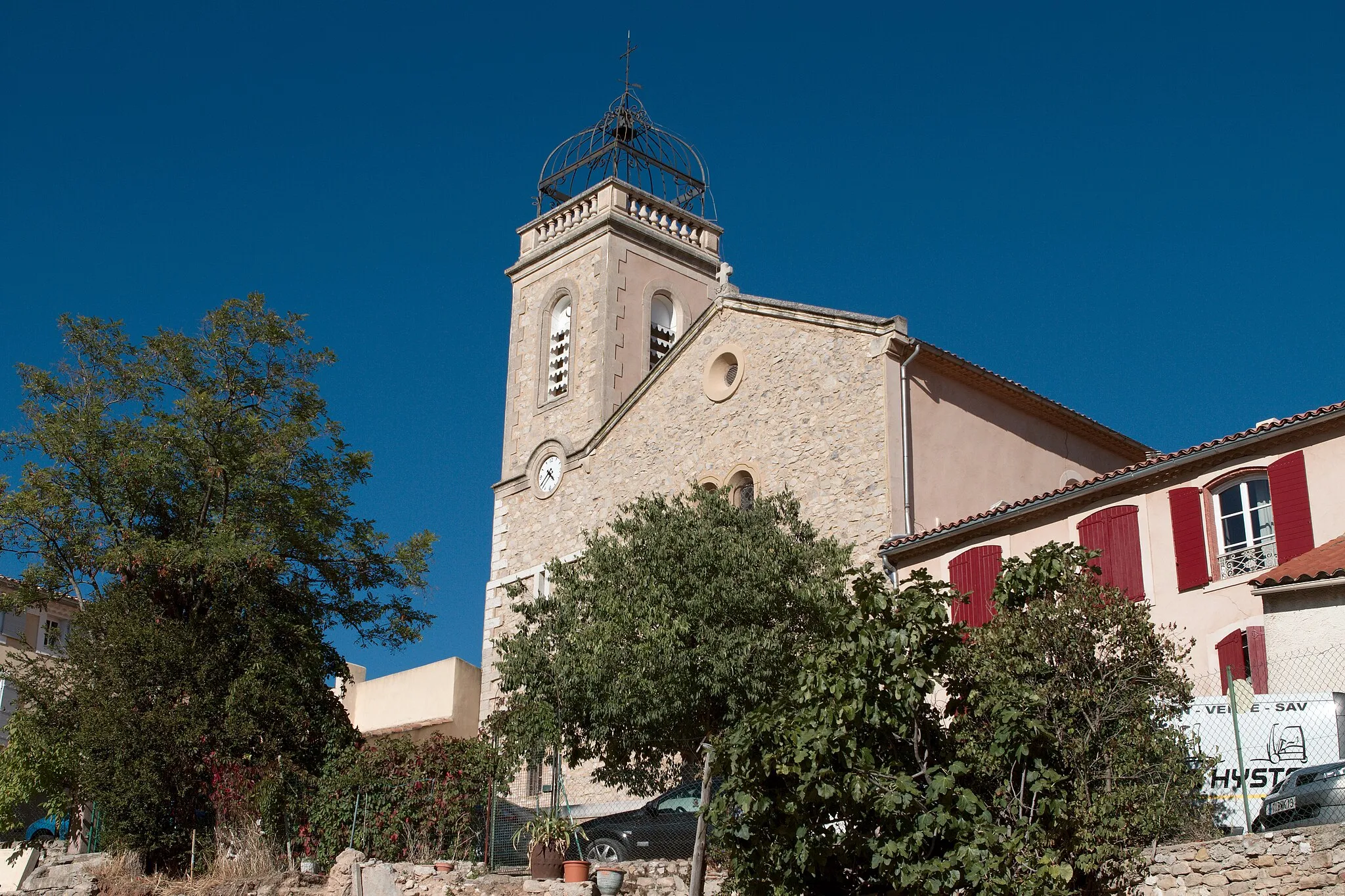
Aix-en-ProvenceCityExplore Aix-en-Provence, a vibrant city with stunning architecture and cultural attractions.
27 km
27 km
Collet Redon435 mPeakMarvel at the scenic beauty of Collet Redon, a popular spot for hikers and cyclists.
37 km
37 km
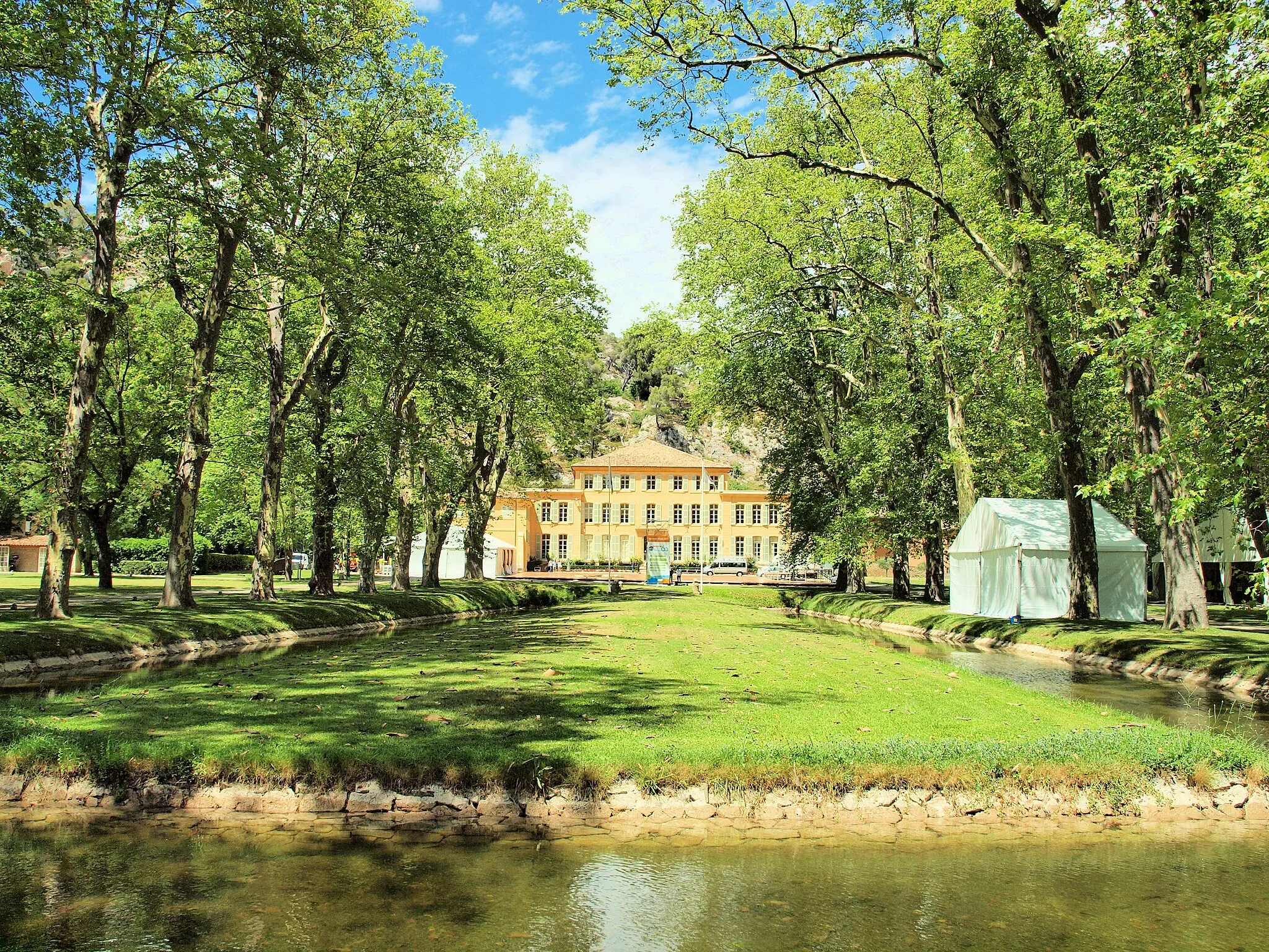
Peyrolles-en-ProvenceVillageStop by Peyrolles-en-Provence, a charming village surrounded by picturesque landscapes.
51 km
51 km
Montagne des Ubacs697 mPeakAdmire the stunning views from Montagne des Ubacs, a popular hiking and cycling destination.
60 km
60 km
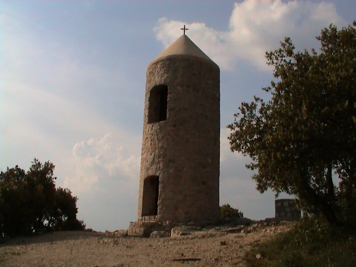
La citadelle720 mPeakDiscover La citadelle, an impressive fortress offering panoramic views of the region.
74 km
74 km
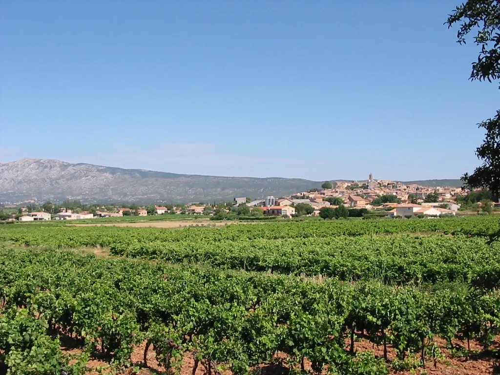
PourrièresVillageExplore Pourrières, a picturesque village nestled at the foot of the Sainte-Victoire mountain.
87 km
87 km
RoussetVillageComplete your journey in Rousset, a vibrant town with a rich cycling heritage and stunning landscapes.
87 km
87 km
Finish: Rousset Village centerRousset: Cycling amidst the landscapes of Cézanne and Mont Sainte-Victoire
Cycling routes nearby: