Gravel Cycling Route with Natural Highlights
A gravel cycling route starting from Tende
A scenic gravel route with highlights like the Col de Tende / Colle di Tenda and Baisse d'Ourne
Map
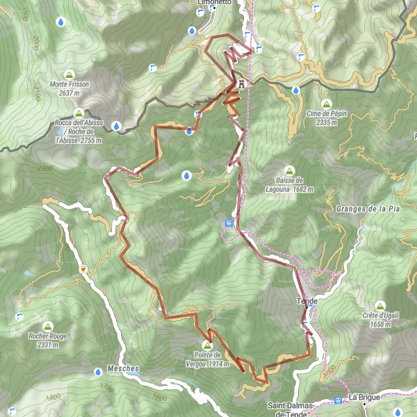
Escape to nature with this gravel cycling route near Tende. Covering a distance of 50km and an ascent of 2064m, this route is suitable for gravel enthusiasts looking for off-road adventure. The gravel terrain adds an extra element of challenge, making it an ideal choice for those seeking thrilling cycling experiences. The route highlights include the Col de Tende / Colle di Tenda, known for its historical significance and scenic beauty, as well as Baisse d'Ourne, which offers breathtaking views of the surrounding mountains. This gravel route allows cyclists to immerse themselves in nature while enjoying the thrill of off-road cycling.
gravel
50 km
2064 m
Chill
Route profile
Highlights on the route
0 km
0 km
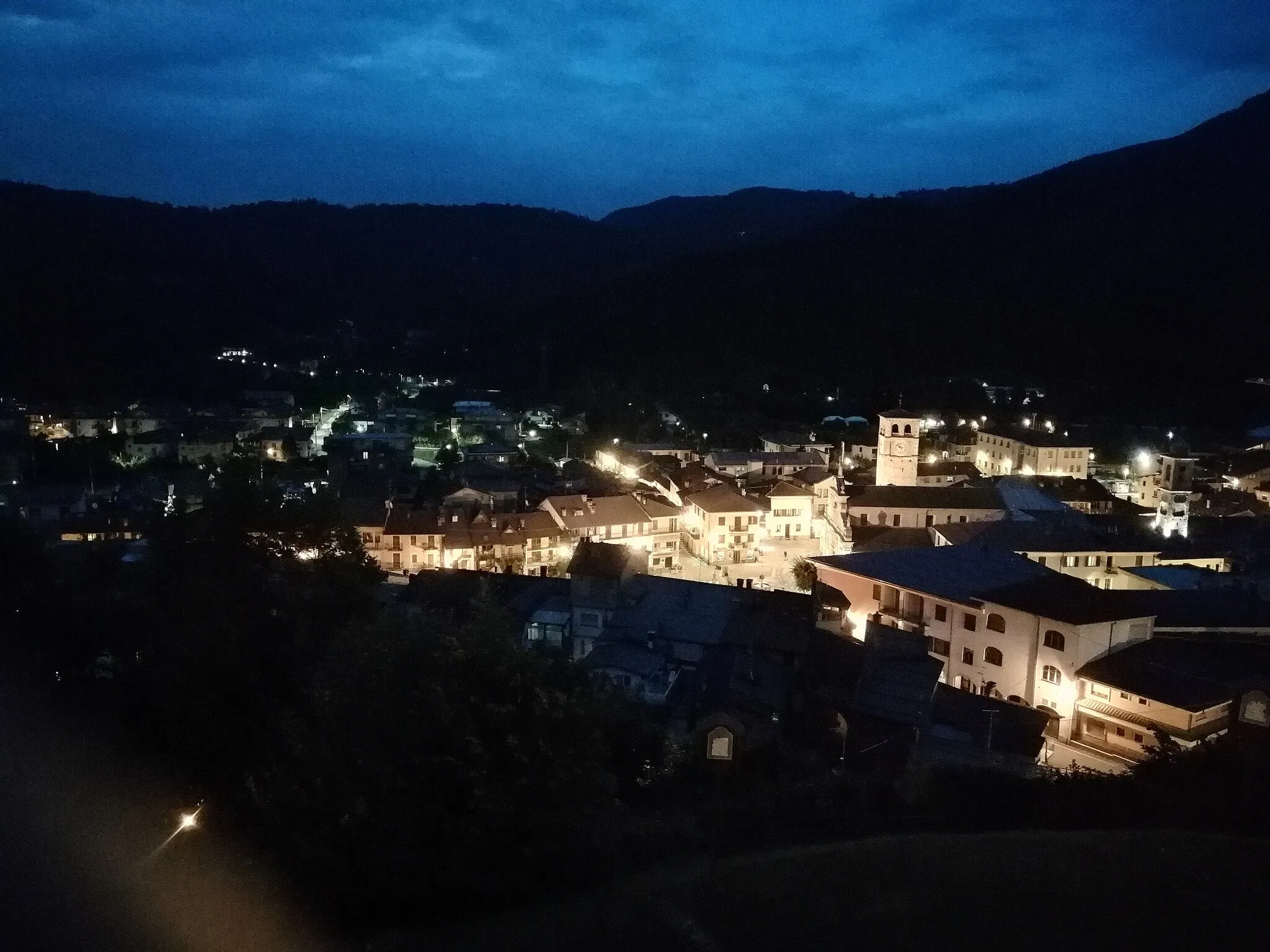
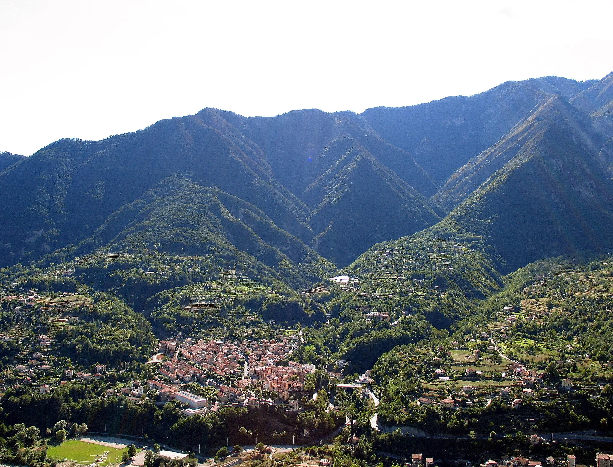
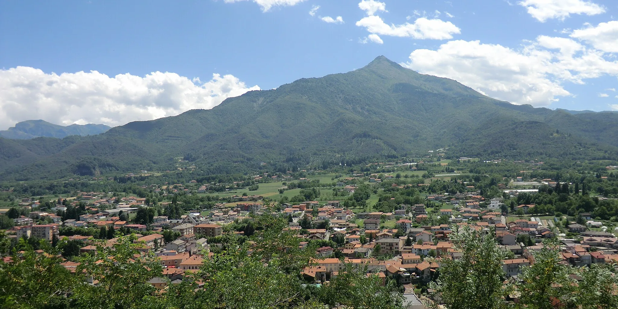
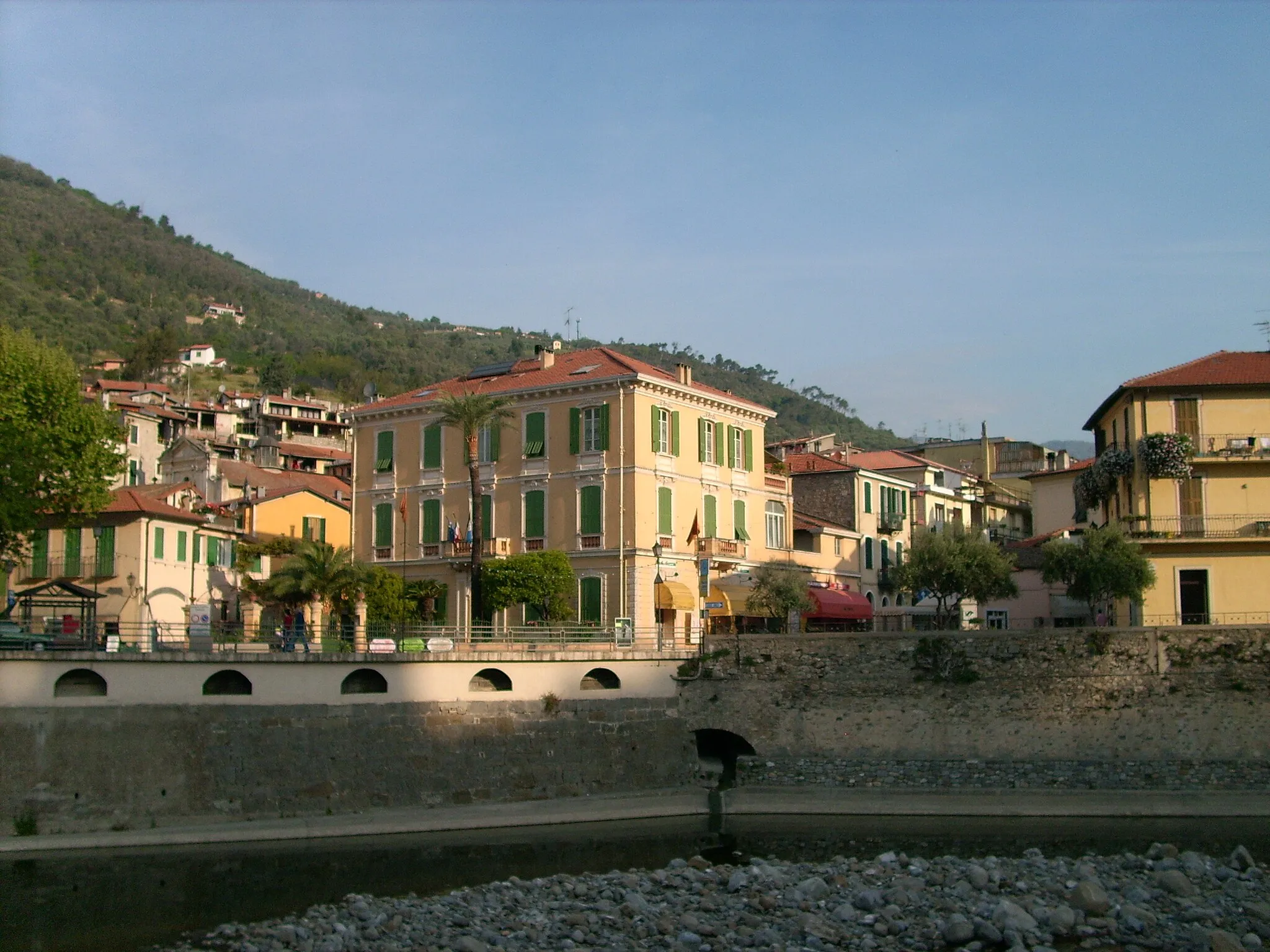
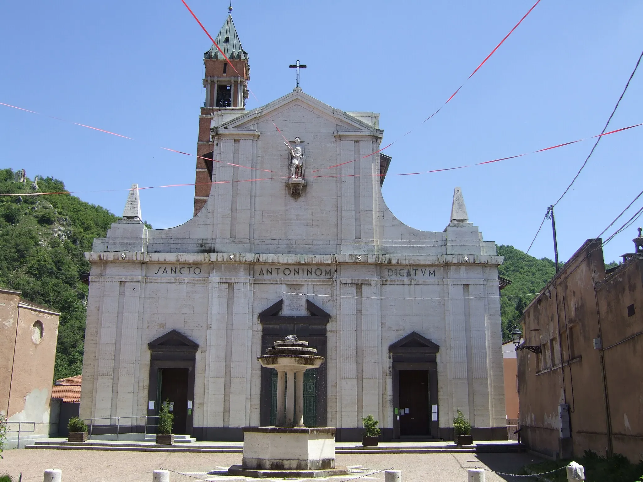
Start: Tende Village centerTende: Challenging rides through majestic mountains in Tende
Tende is a charming town located in the Provence-Alpes-Côte d’Azur region of France. From a cyclist's perspective, this locality offers a unique and challenging cycling experience. The roads around Tende are surrounded by majestic mountains, offering incredible views throughout the ride. The Col de Tende, a well-known climb in the area, is a must-visit for cyclists seeking a challenging ascent. Additionally, the region is home to several other famous cycling spots such as the Col de Turini. With its stunning natural beauty and challenging terrain, Tende is a paradise for road and gravel cyclists.14 km
14 km
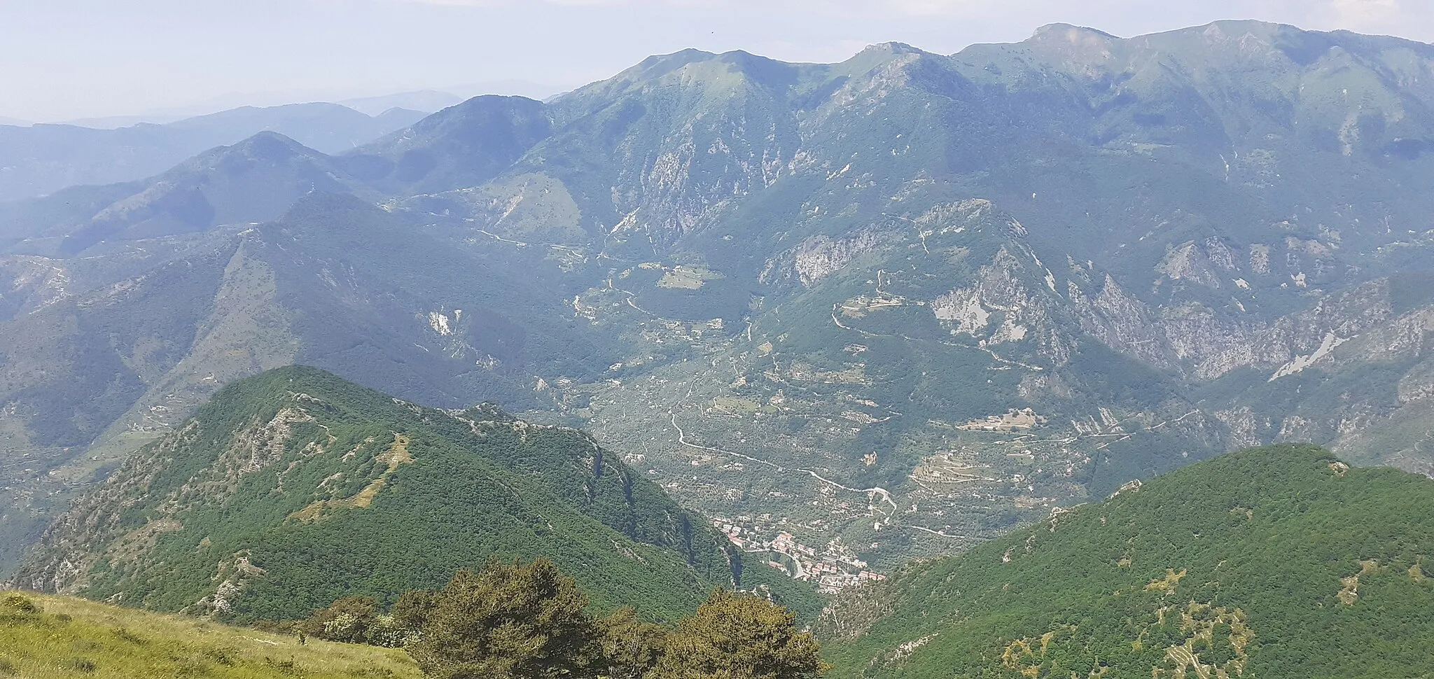
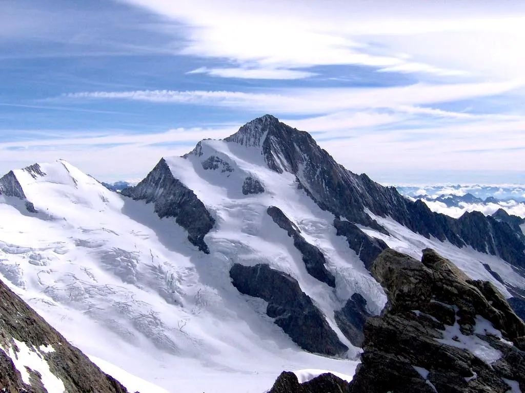
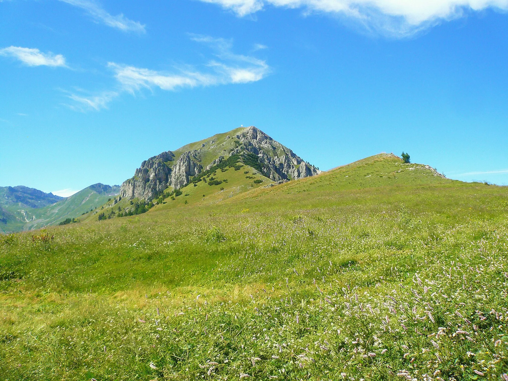
Baisse d'Ourne2040 mMountain PassBaisse d'Ourne is a scenic mountain pass with panoramic views of the Alps and the opportunity to spot local wildlife, such as ibex.
29 km
29 km
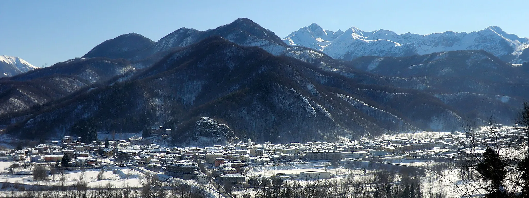
Panice SopranaHamletPanice Soprana is a hidden gem, offering tranquil surroundings and fantastic views of the surrounding valleys.
34 km
34 km
Col de Tende / Colle di Tenda1871 mMountain PassCol de Tende / Colle di Tenda is a historically significant mountain pass connecting France and Italy, offering stunning landscapes and incredible engineering feats.
44 km
44 km
Le Caïron1642 mPeakLe Caïron is a natural rock formation that provides a picturesque backdrop for cyclists to enjoy during the ride.
50 km
50 km
TendeVillageTende, the starting point, is known for its beautiful location amidst stunning natural landscapes, making it a great place to experience the tranquility of the region.
50 km
50 km
Finish: Tende Village centerTende: Challenging rides through majestic mountains in Tende
Cycling routes from Tende:
Gravel Cycling Route with Natural Highlights Gravel Cycling Route to Baisse de Lagouna Road Cycling Route from Tende The Gravel Adventure: Tende and Beyond Epic Gravel Cycling Experience Road Cycling Route with Challenging Climbs Gravel Paradise: Exploring Tende and Its Surroundings Road Cycling Route from Tende to Provence The Tende Loop
Cycling routes nearby: