Road Cycling Route with Challenging Climbs
A road cycling route starting from Tende
A challenging road route with highlights like the Old bridge view and the Dolceacqua
Map
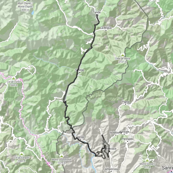
Experience the thrill of challenging climbs and stunning landscapes with this road cycling route near Tende. With a distance of 102km and an ascent of 4141m, this route is suitable for well-trained amateurs seeking a tough but rewarding adventure. The route includes highlights such as the Old bridge view and Dolceacqua, offering picturesque views and cultural attractions. The ascent of 4141m adds an extra level of difficulty, making it a suitable choice for those looking for a challenging ride. Overall, this road cycling route provides a balanced combination of tough climbs, scenic landscapes, and cultural attractions.
road
102 km
4141 m
Tough
Route profile
Highlights on the route
0 km
0 km
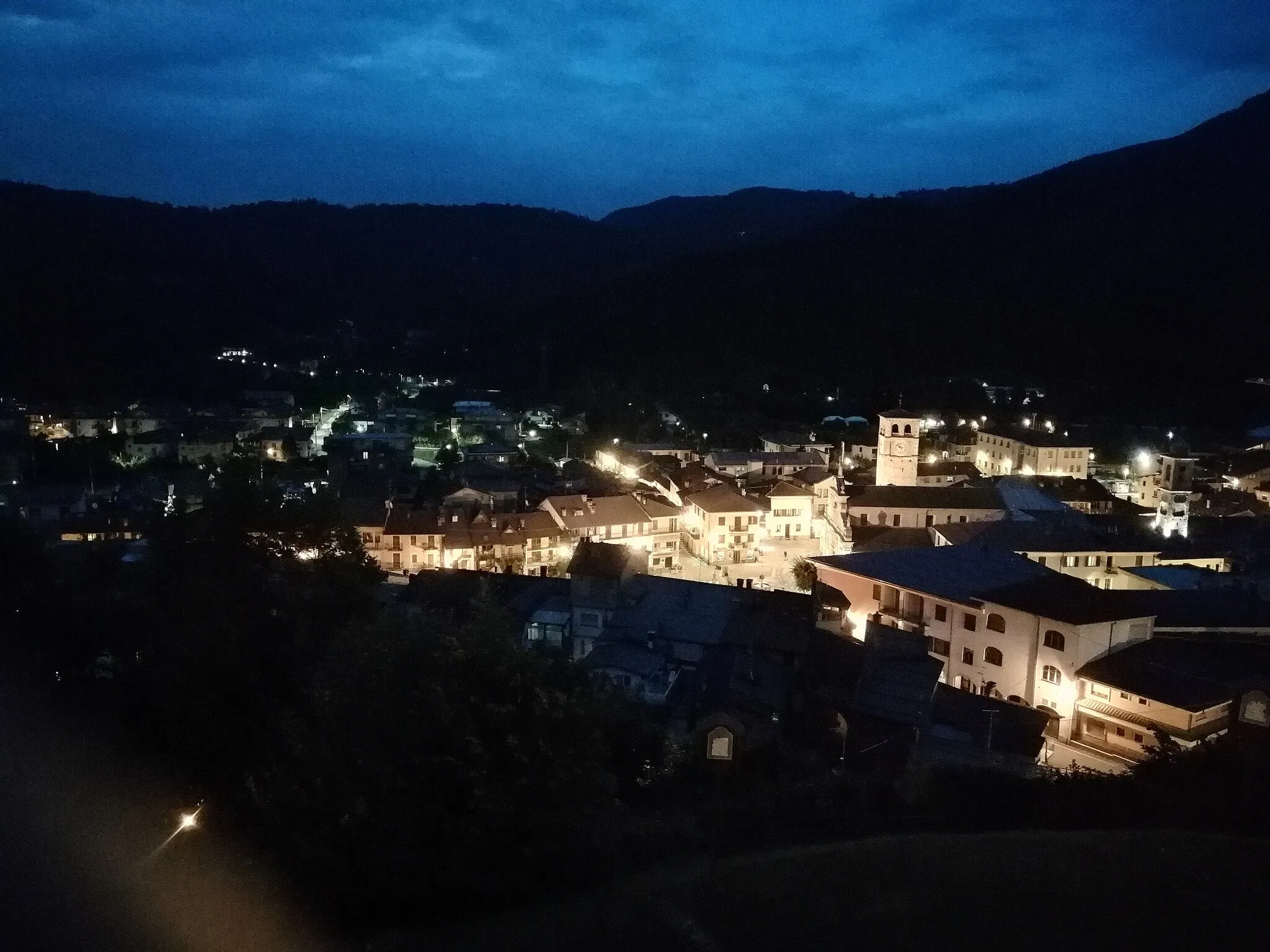
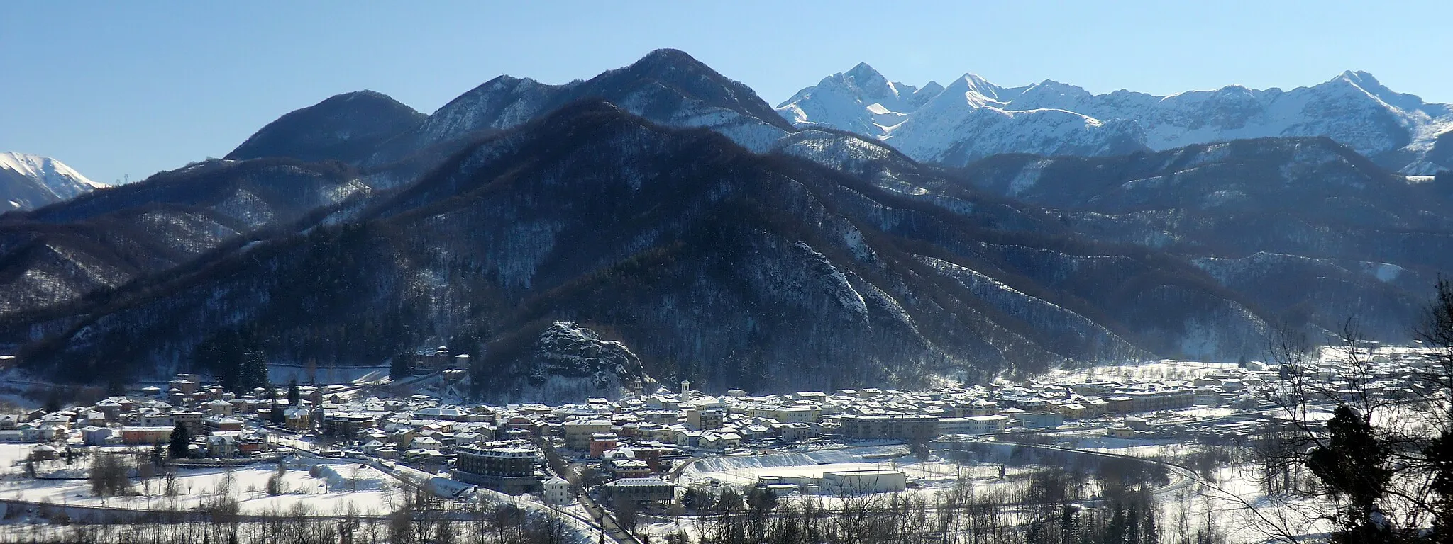
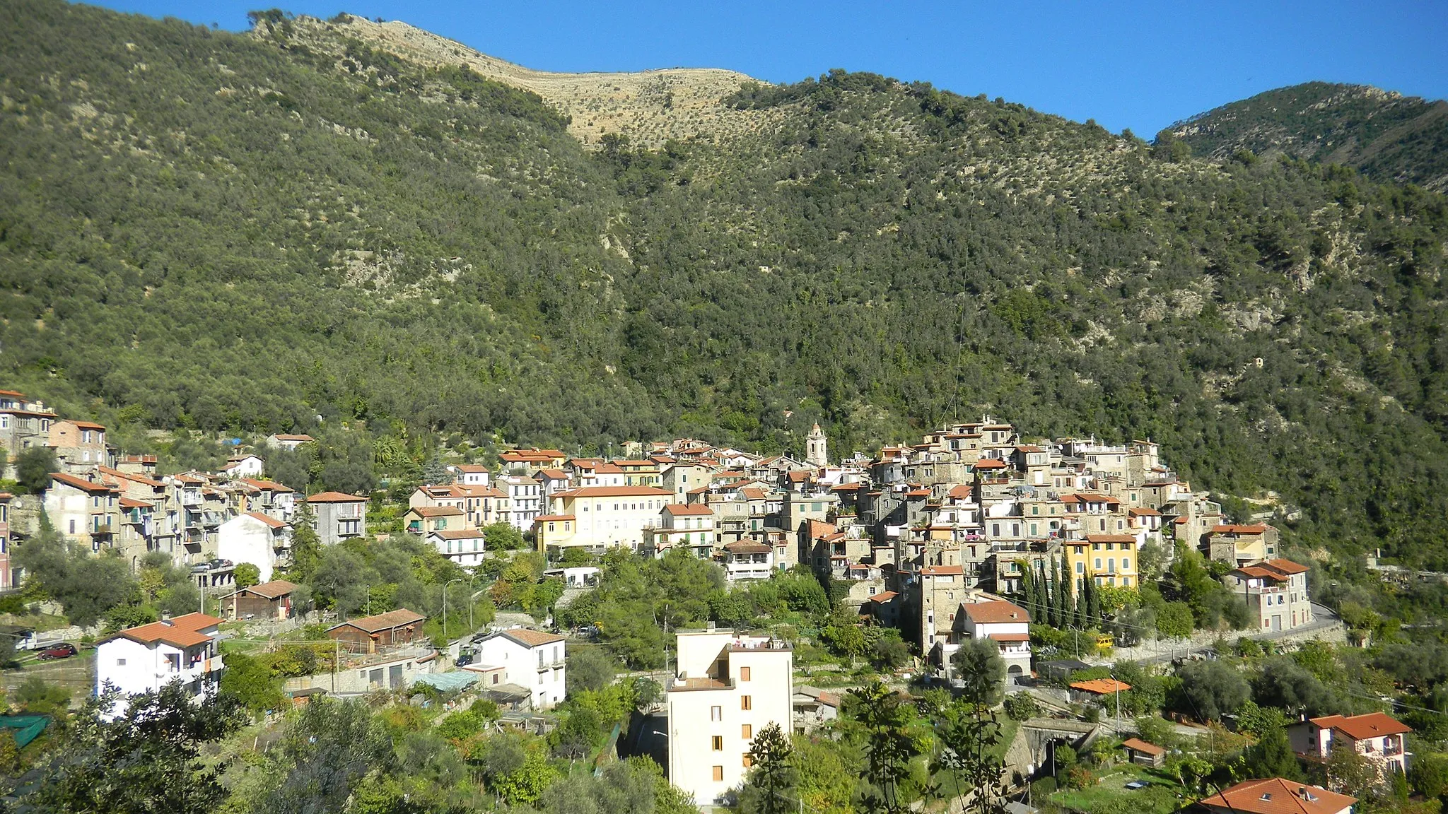
Start: Tende Village centerTende: Challenging rides through majestic mountains in Tende
Tende is a charming town located in the Provence-Alpes-Côte d’Azur region of France. From a cyclist's perspective, this locality offers a unique and challenging cycling experience. The roads around Tende are surrounded by majestic mountains, offering incredible views throughout the ride. The Col de Tende, a well-known climb in the area, is a must-visit for cyclists seeking a challenging ascent. Additionally, the region is home to several other famous cycling spots such as the Col de Turini. With its stunning natural beauty and challenging terrain, Tende is a paradise for road and gravel cyclists.0 km
0 km
TendeVillageTende, the starting point of the journey, is a picturesque town with rich history and architectural wonders to explore.
14 km
14 km
Old bridge viewViewpointThe Old bridge view offers a breathtaking vista of an ancient bridge over a river, providing a great spot to take a break and admire the surroundings.
30 km
30 km
San MicheleHamletSan Michele is a charming village with traditional Provençal architecture and beautiful gardens, making it a delightful stop along the route.
33 km
33 km
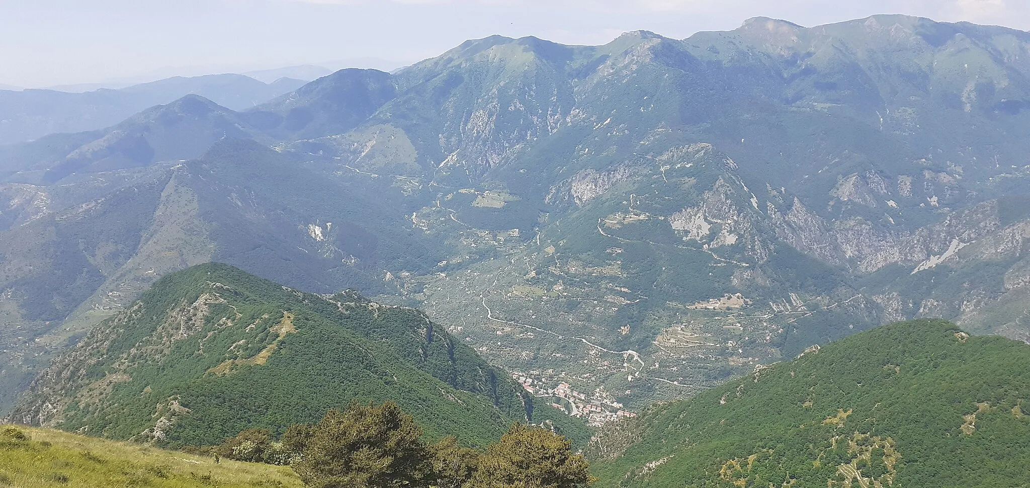
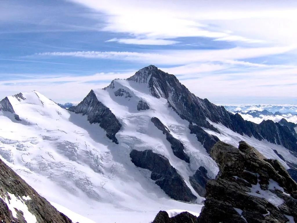
Passo della Pagliurà286 mMountain PassPasso della Pagliurà is a challenging climb that rewards cyclists with stunning panoramic views of the surrounding mountains and valleys.
49 km
49 km
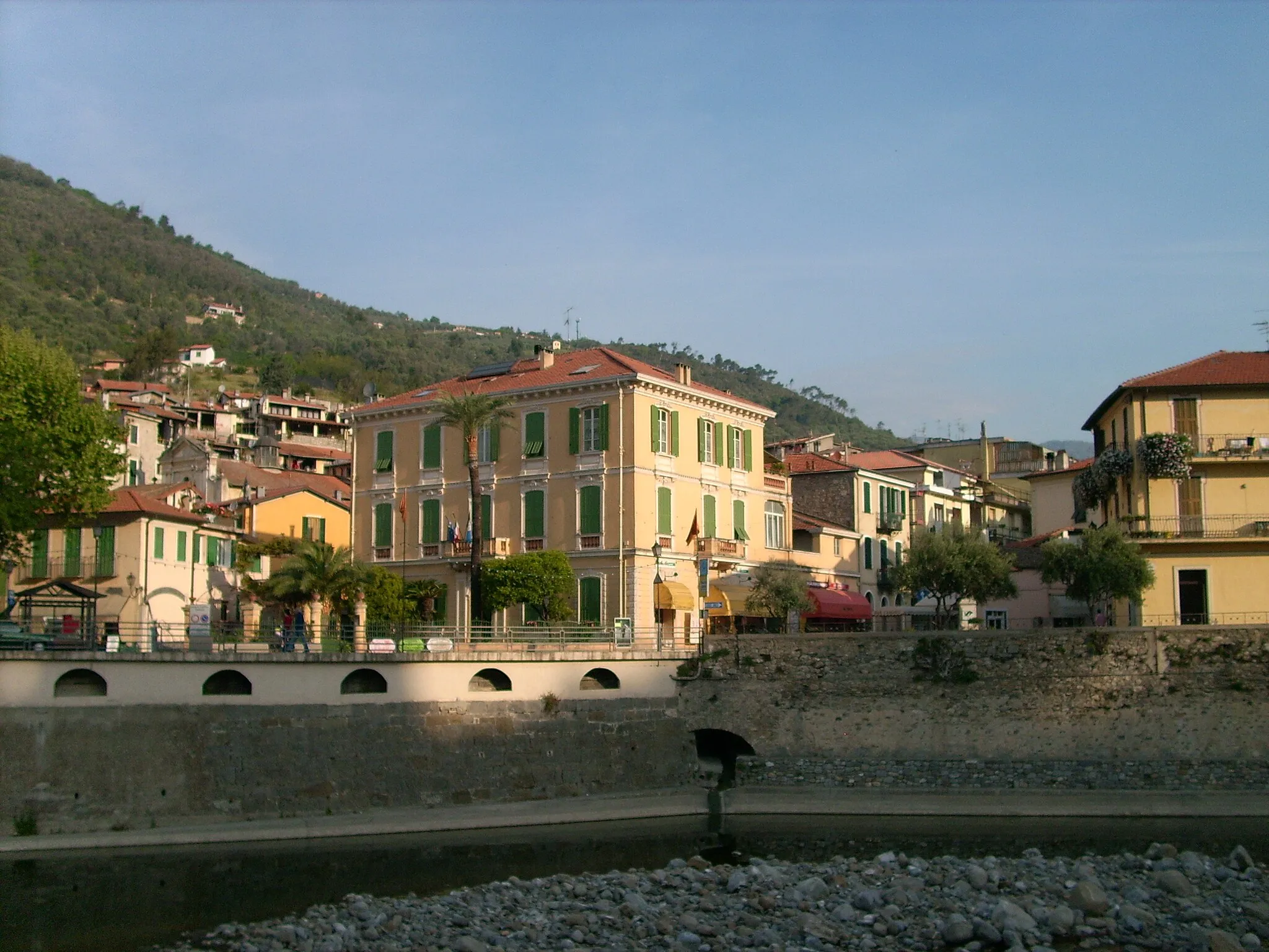
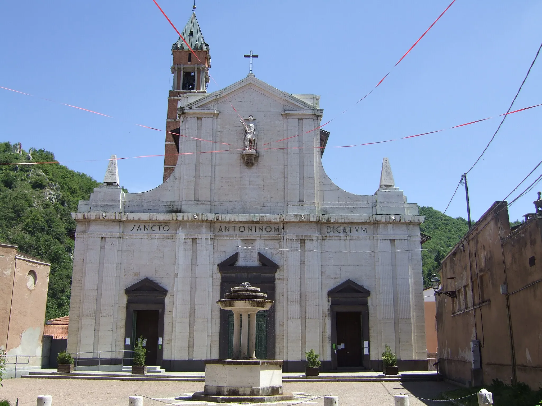
DolceacquaVillageDolceacqua is a picturesque Italian village known for its medieval architecture and delicious local wines. Exploring the village is a highlight of the route and a great gastronomic experience.
56 km
56 km
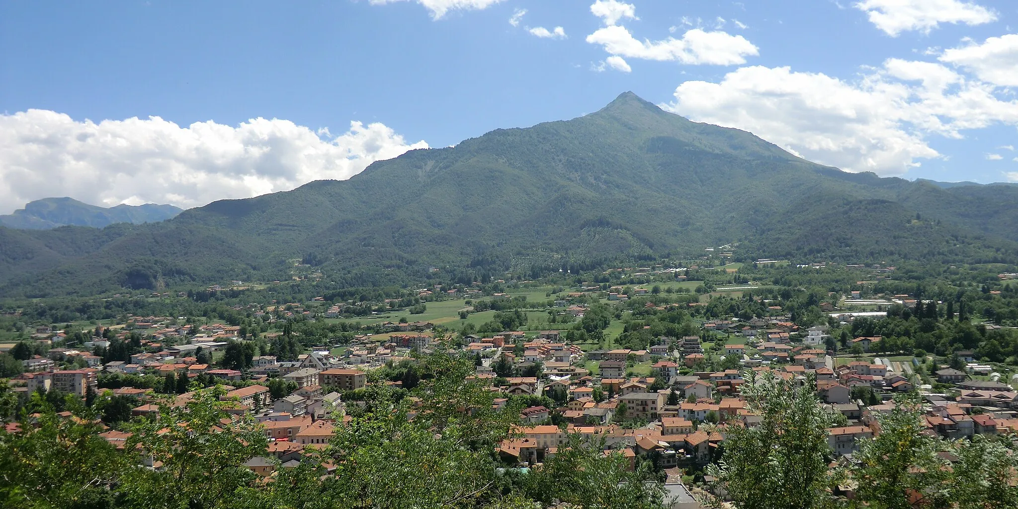
Cima Tramontina525 mPeakCima Tramontina offers breathtaking views of the Ligurian Alps, with pristine nature surrounding the peak.
68 km
68 km
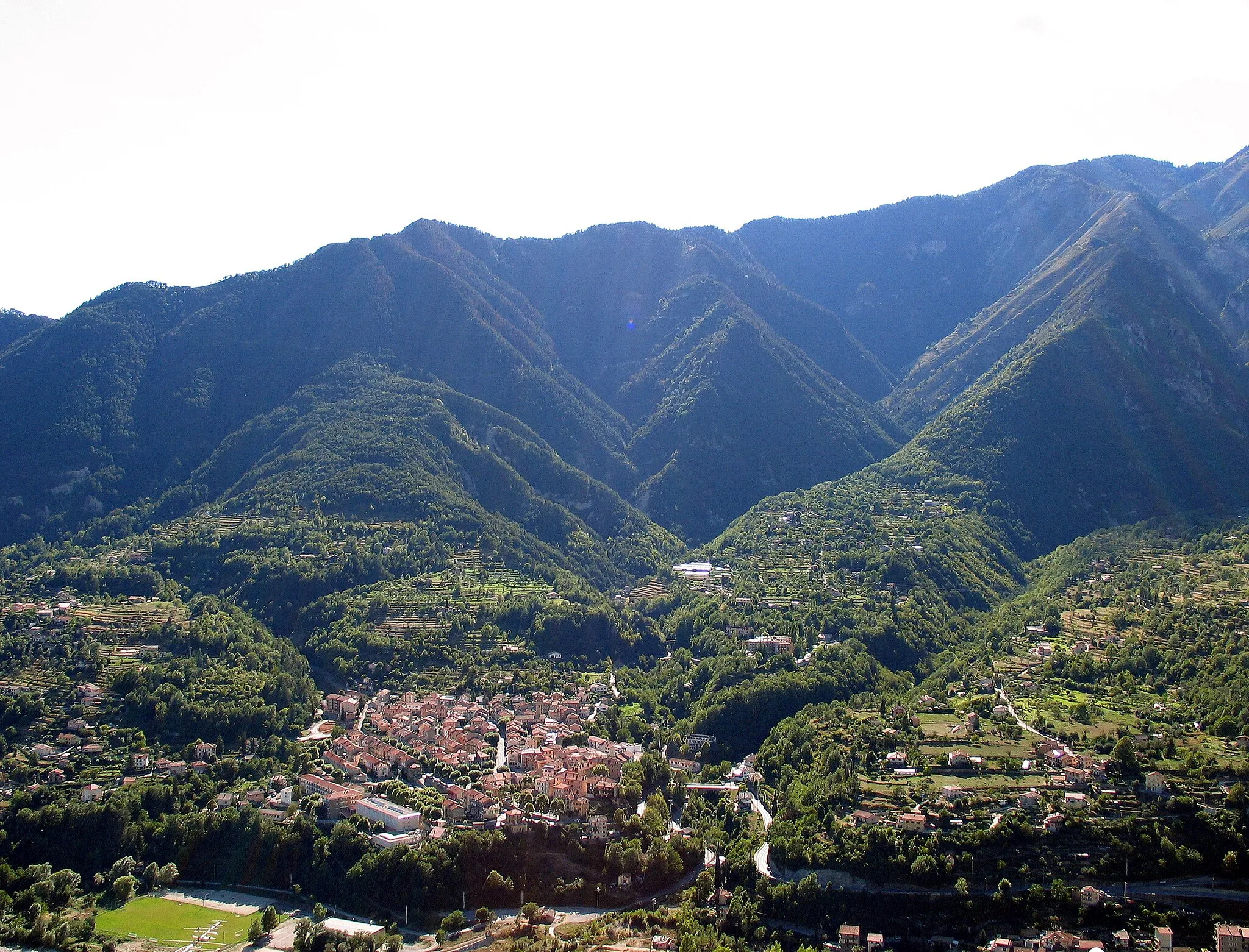
AiroleVillageAirole is a charming Italian town located near the French border, offering a blend of Italian and French cultures.
88 km
88 km
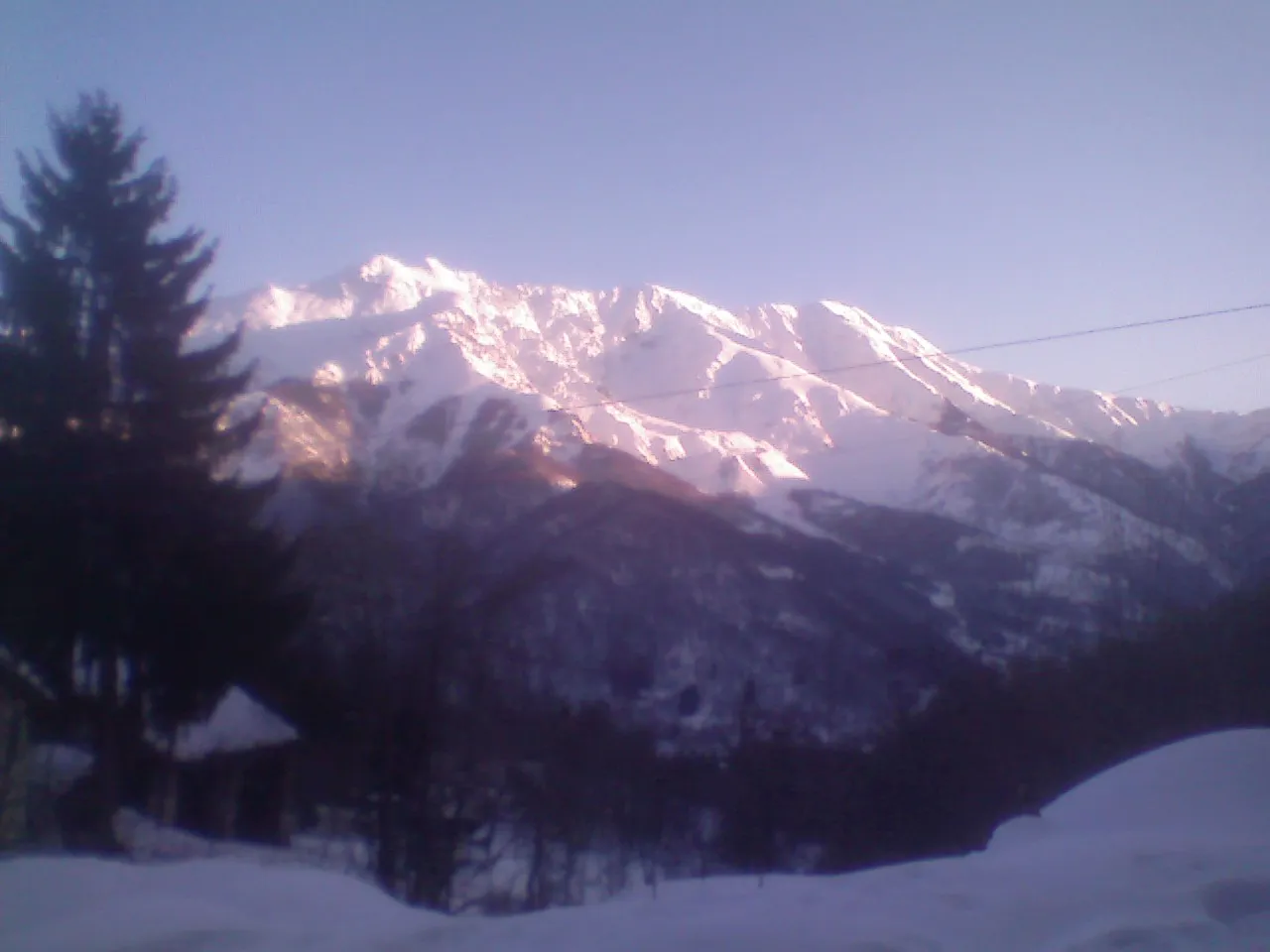
Baisse de Cachin914 mMountain PassBaisse de Cachin is a tough climb that challenges cyclists with steep gradients, but rewards them with stunning views at the top.
92 km
92 km
Berghe SupérieurHamletBerghe Supérieur is a small mountain village known for its tranquility and scenic beauty. It offers a perfect place to rest and enjoy the surrounding nature.
102 km
102 km
Finish: Tende Village centerTende: Challenging rides through majestic mountains in Tende
Cycling routes from Tende:
Gravel Cycling Route with Natural Highlights Gravel Cycling Route to Baisse de Lagouna Road Cycling Route from Tende The Gravel Adventure: Tende and Beyond Epic Gravel Cycling Experience Road Cycling Route with Challenging Climbs Gravel Paradise: Exploring Tende and Its Surroundings Road Cycling Route from Tende to Provence The Tende Loop
Cycling routes nearby: