The Tende Loop
A road cycling route starting from Tende
A scenic route through the stunning landscapes around Tende
Map

The Tende Loop is a spectacular cycling route that takes you through the breathtaking landscapes of Provence-Alpes-Côte d’Azur. With a total distance of 208 kilometers and an ascent of 6,321 meters, this route offers a challenging but rewarding experience for cyclists. The Tende Loop is characterized by its diverse terrain, which includes both road and gravel sections, allowing riders to test their skills in various conditions. Along the way, you will encounter picturesque towns, beautiful mountains, and stunning viewpoints, making it a truly memorable cycling adventure.
road
208 km
6321 m
Tough
Route profile
Highlights on the route
0 km
0 km
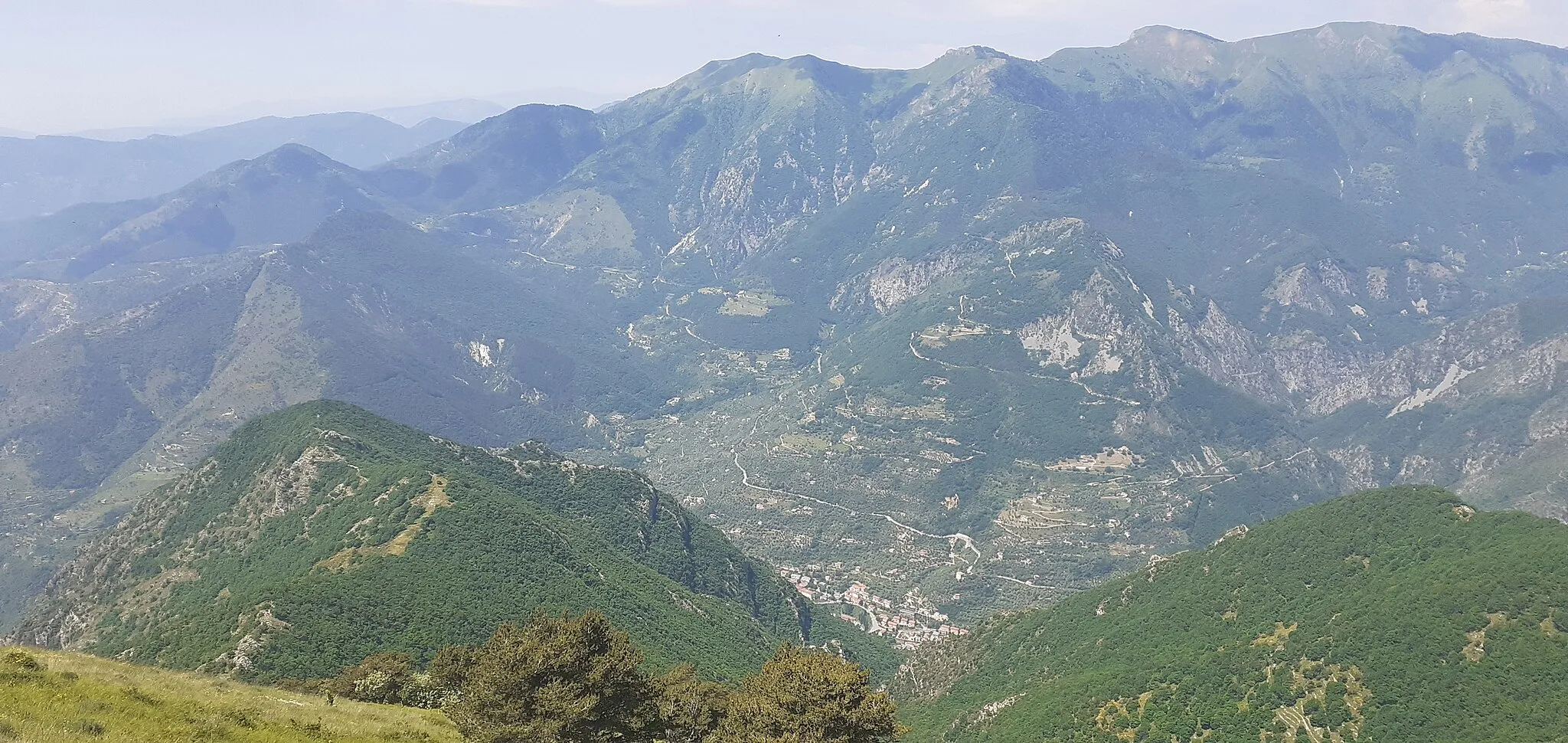
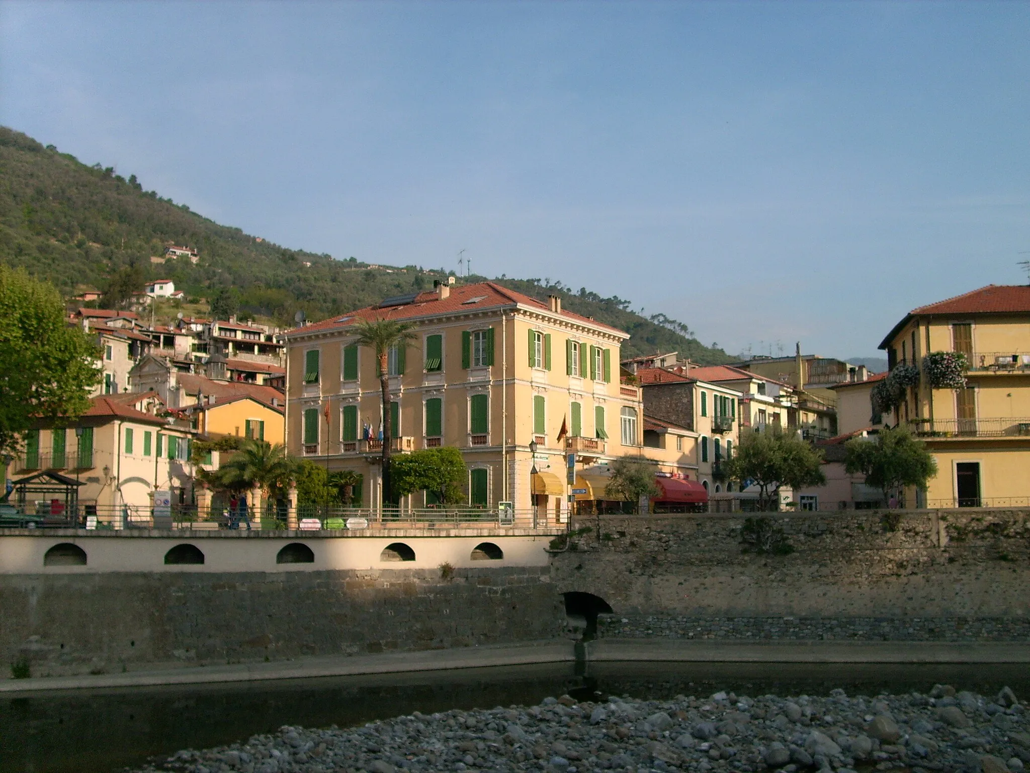
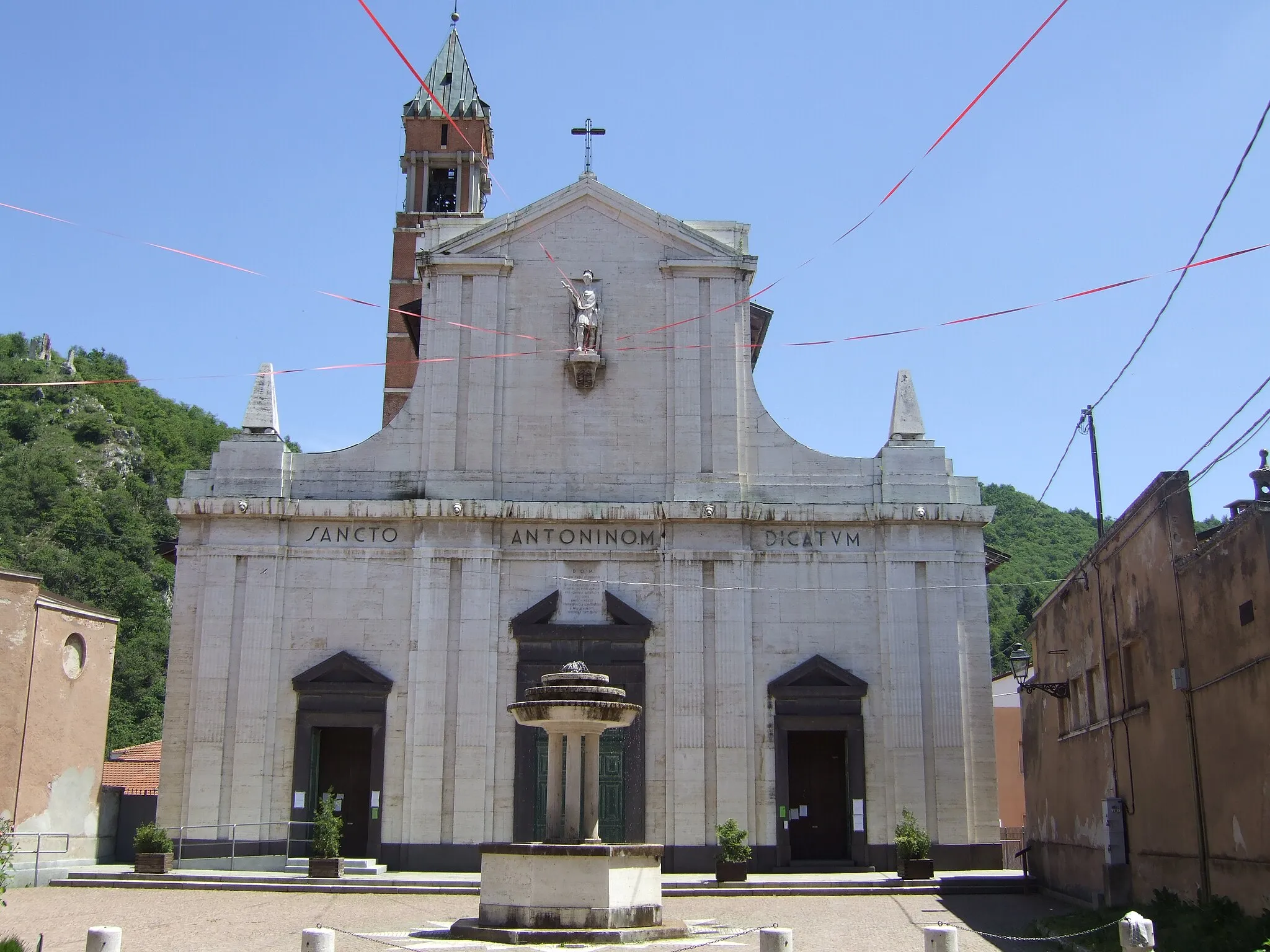
Start: Tende Village centerTende: Challenging rides through majestic mountains in Tende
Tende is a charming town located in the Provence-Alpes-Côte d’Azur region of France. From a cyclist's perspective, this locality offers a unique and challenging cycling experience. The roads around Tende are surrounded by majestic mountains, offering incredible views throughout the ride. The Col de Tende, a well-known climb in the area, is a must-visit for cyclists seeking a challenging ascent. Additionally, the region is home to several other famous cycling spots such as the Col de Turini. With its stunning natural beauty and challenging terrain, Tende is a paradise for road and gravel cyclists.7 km
7 km
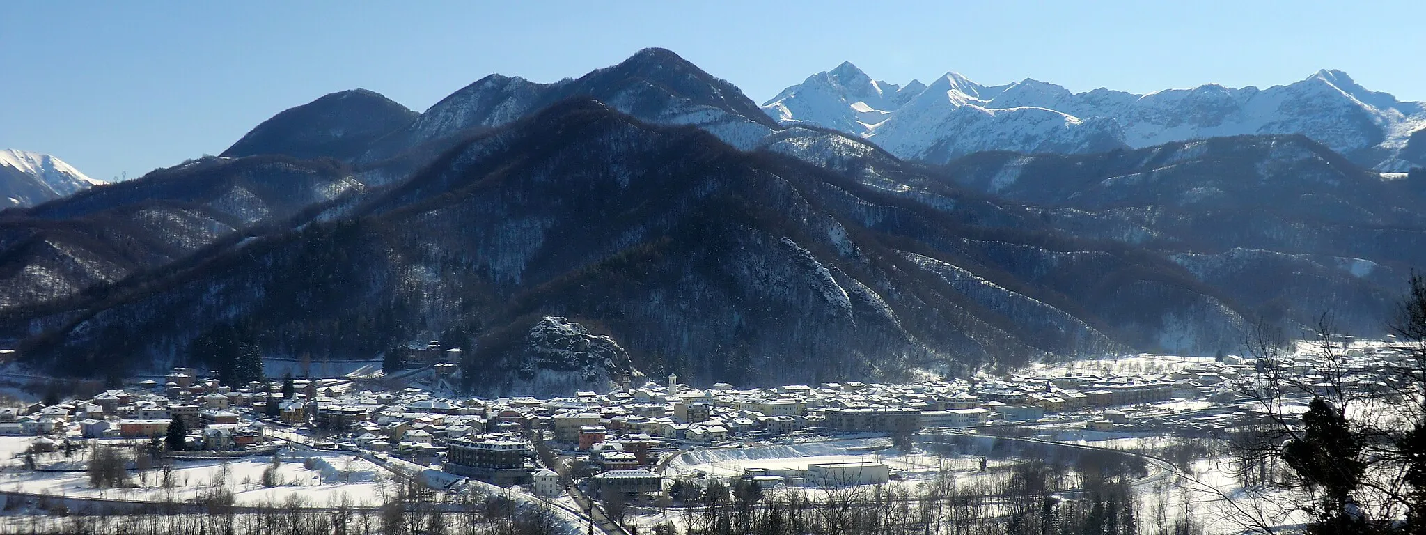
La BrigueVillageLocated in La Brigue, the highlight of this route offers a glimpse into the rich history and culture of the region.
15 km
15 km
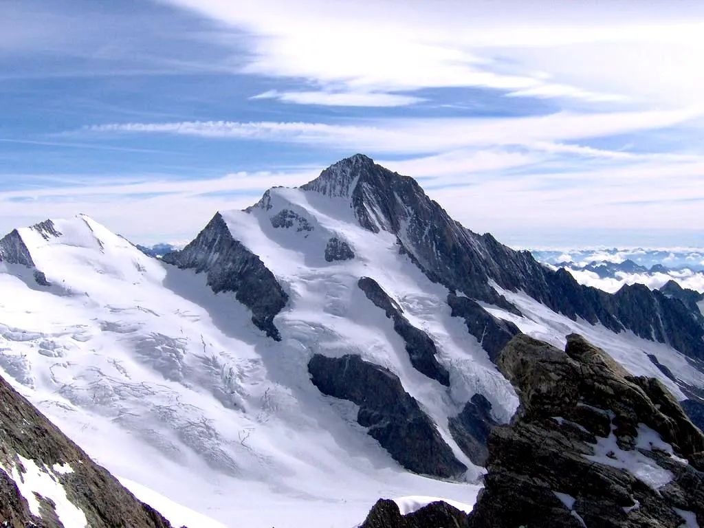
Cime du Pinet1480 mPeakCycling to the top of the Cime du Pinet, you'll be rewarded with breathtaking panoramic views.
26 km
26 km
Testa delle Collette1422 mPeakThe Testa delle Collette is a must-see spot for its panoramic views and unique geological features.
30 km
30 km
VerdeggiaVillageVerdeggia is a charming village known for its picturesque streets and traditional architecture.
44 km
44 km
Poggio della Croce894 mPeakThe Poggio della Croce offers a challenging climb with rewarding views of the surrounding countryside.
45 km
45 km
Molini di TrioraVillageMolini di Triora is a historic village known for its preserved medieval architecture and beautiful surroundings.
58 km
58 km
Montalto LigureVillageMontalto Ligure is a small town with a rich history and stunning views of the Ligurian coastline.
69 km
69 km
Monte Carpasina1415 mPeakMonte Carpasina is a popular hiking and cycling destination, offering breathtaking views of the surrounding mountains.
86 km
86 km
Passo del Ginestro677 mMountain PassPasso del Ginestro is a challenging climb that rewards cyclists with spectacular views of the surrounding landscape.
91 km
91 km
TesticoVillageTestico is a picturesque hilltop village known for its charming narrow streets and historic buildings.
104 km
104 km
ChiusanicoVillageChiusanico is a hidden gem with its quaint streets and traditional charm.
113 km
113 km
Monte Pian Cavallè578 mPeakMonte Pian Cavallè offers stunning views of the surrounding countryside and a peaceful atmosphere.
129 km
129 km
San Lorenzo al MareVillageSan Lorenzo al Mare is a charming coastal town with beautiful beaches and delicious seafood.
137 km
137 km
Monte Grange200 mPeakMonte Grange is a popular destination for outdoor enthusiasts, offering numerous hiking and biking trails.
146 km
146 km
Madonna della CostaViewpointMadonna della Costa is a renowned pilgrimage site known for its stunning views and peaceful atmosphere.
146 km
146 km
SanremoTownSanremo is a vibrant city famous for its annual cycling race, the Milan-Sanremo, and its luxurious casino.
158 km
158 km
Belvedere Bandiera BluViewpointBelvedere Bandiera Blu offers panoramic views of the Mediterranean Sea and the surrounding coastline.
158 km
158 km
BordigheraTownBordighera is a delightful town known for its vibrant gardens, historic villas, and beautiful promenade.
174 km
174 km
Passo della Pagliurà286 mMountain PassPasso della Pagliurà is a challenging climb that rewards cyclists with stunning views of the Ligurian Alps.
174 km
174 km
AiroleVillageAirole is a picturesque village with narrow streets, historic buildings, and a rich cultural heritage.
187 km
187 km
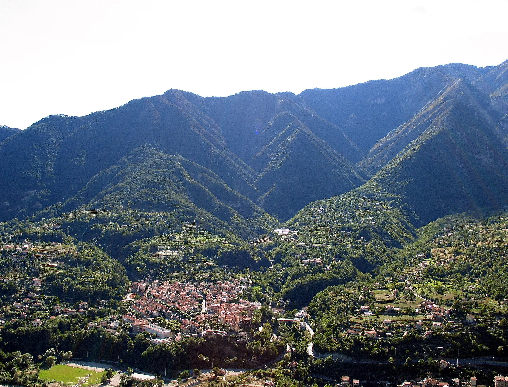
Breil-sur-RoyaVillageBreil-sur-Roya is a charming town located along the Roya river, known for its medieval architecture.
193 km
193 km
Old bridge viewViewpointOld bridge view offers a stunning viewpoint of the historic bridge and the surrounding natural beauty.
203 km
203 km
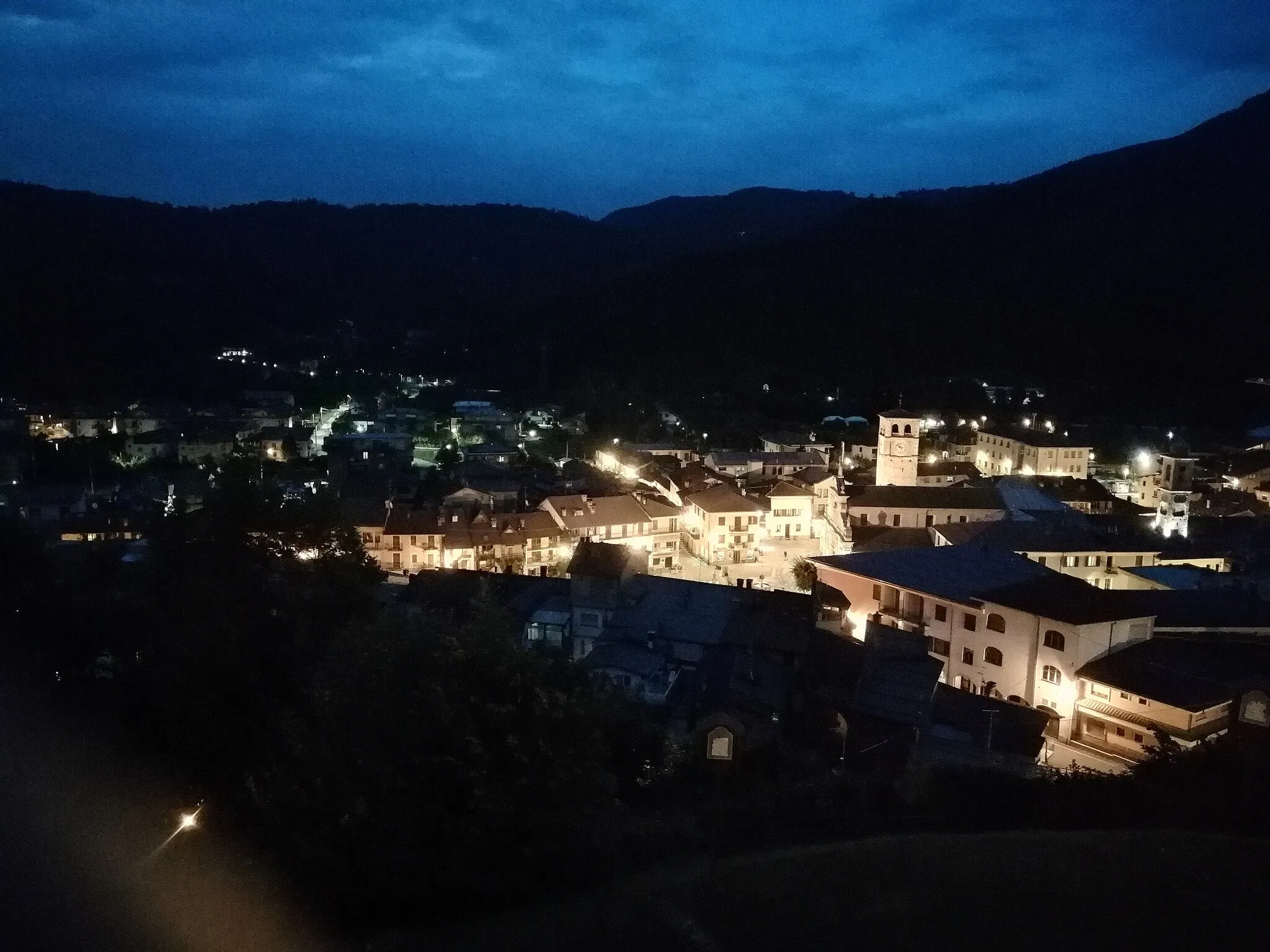
Saint-Dalmas-de-TendeVillageSaint-Dalmas-de-Tende is a quaint mountain village known for its traditional alpine charm.
208 km
208 km
Finish: Tende Village centerTende: Challenging rides through majestic mountains in Tende
Cycling routes from Tende:
Gravel Cycling Route with Natural Highlights Gravel Cycling Route to Baisse de Lagouna Road Cycling Route from Tende The Gravel Adventure: Tende and Beyond Epic Gravel Cycling Experience Road Cycling Route with Challenging Climbs Gravel Paradise: Exploring Tende and Its Surroundings Road Cycling Route from Tende to Provence The Tende Loop
Cycling routes nearby: