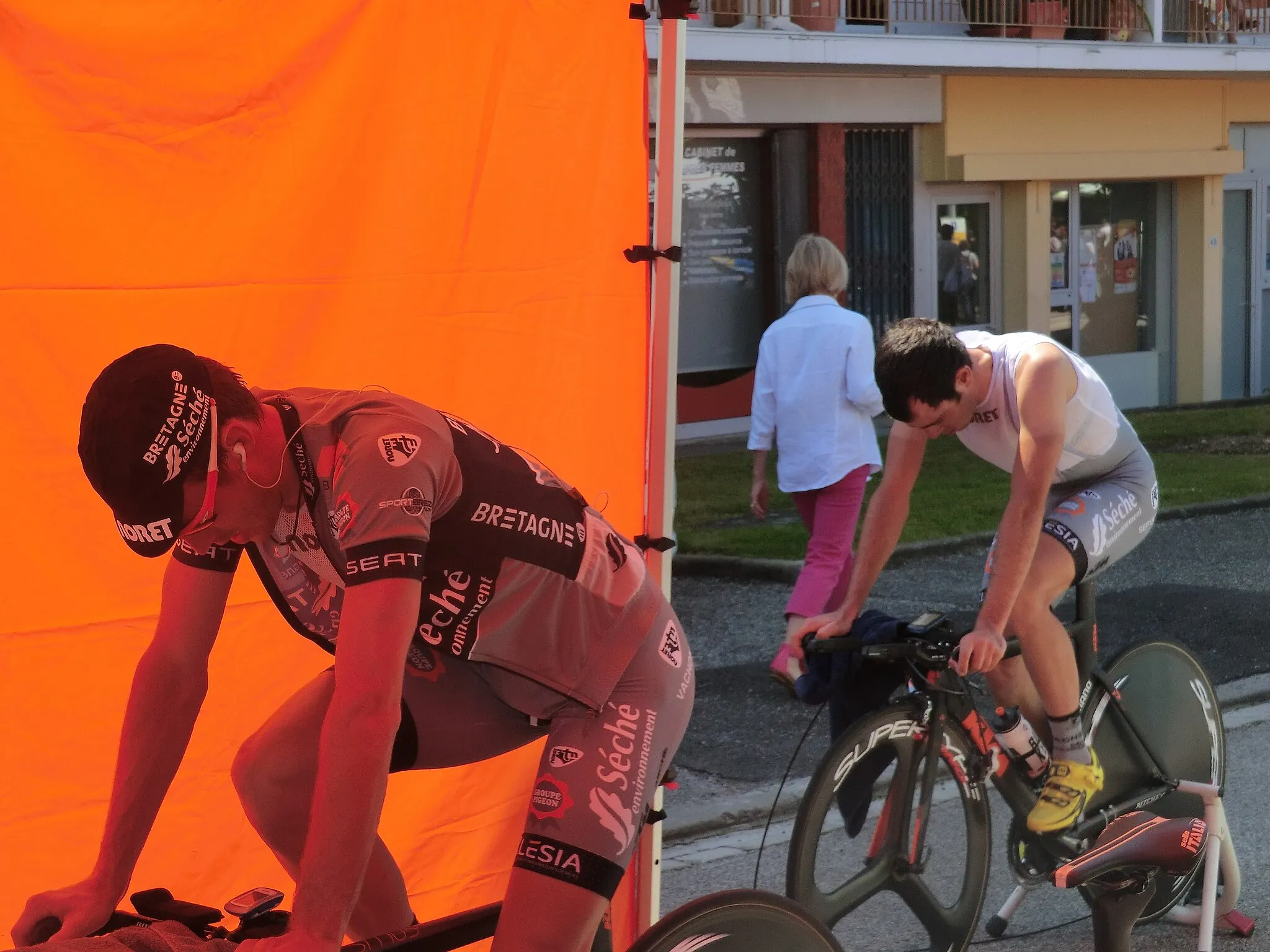
Discovering the Beaujolais Wine Region
A road cycling route starting from Chatillon-sur-Chalaronne
A scenic cycling route through vineyards and charming villages in the heart of the Beaujolais wine country
Map
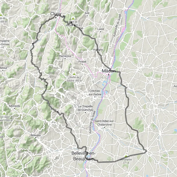
This round-trip cycling route starting near Châtillon-sur-Chalaronne takes you on a journey through the picturesque Beaujolais wine region. As you pedal along, you'll be surrounded by rolling hills covered with vineyards and charming villages offering glimpses into the rich winemaking heritage of the area. The route is ideal for well-trained amateur cyclists looking for a moderately challenging ride with plenty of scenic beauty to enjoy. At a distance of 132 km and with an ascent of 1648 m, it offers a rewarding cycling experience.
road
132 km
1648 m
Tough
Route profile
Highlights on the route
0 km
0 km
Start: Châtillon-sur-Chalaronne City centerChâtillon-sur-Chalaronne: Cultural and mountainous cycling in France
Châtillon-sur-Chalaronne is a town situated in the Rhône-Alpes region of France. From a cyclist's perspective, Châtillon-sur-Chalaronne offers a variety of scenic routes that showcase the beauty of the surrounding countryside. Cyclists can explore the rich history and architectural gems of the town as they pedal through its charming streets. One of the famous cycling-related spots nearby is La Bresse, a mountainous area known for its challenging climbs that attract professional cyclists. Châtillon-sur-Chalaronne is a fantastic destination for cyclists looking for a mix of cultural exploration and exhilarating rides.0 km
0 km
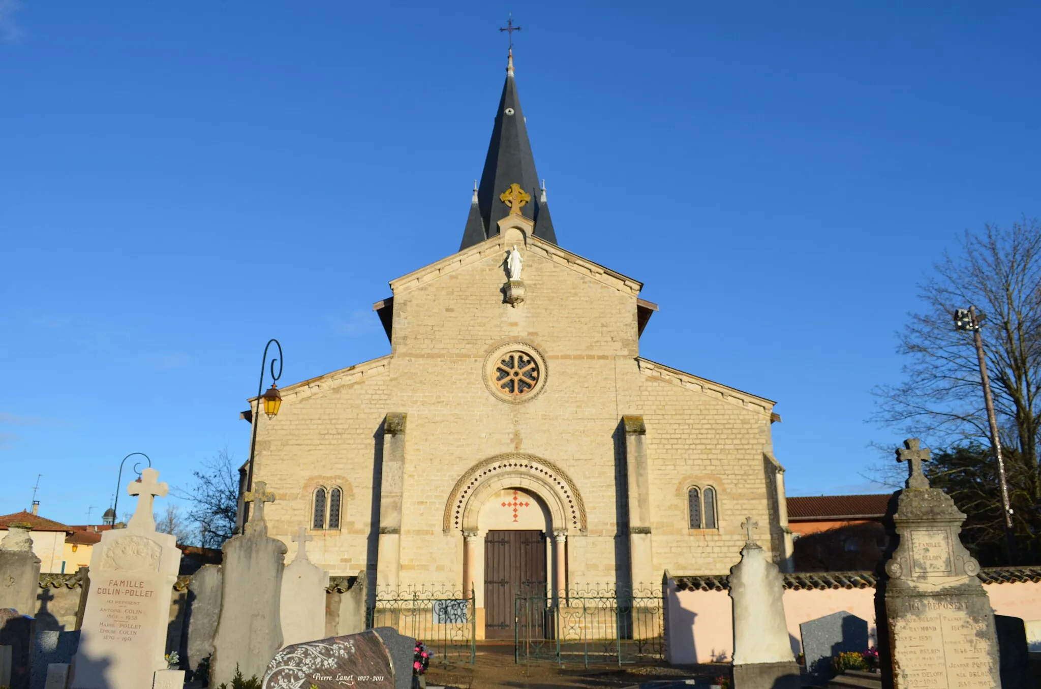
Châtillon-sur-ChalaronneTownChâtillon-sur-Chalaronne: The starting point of the route, this historic town is known for its picturesque streets and beautiful half-timbered houses.
5 km
5 km
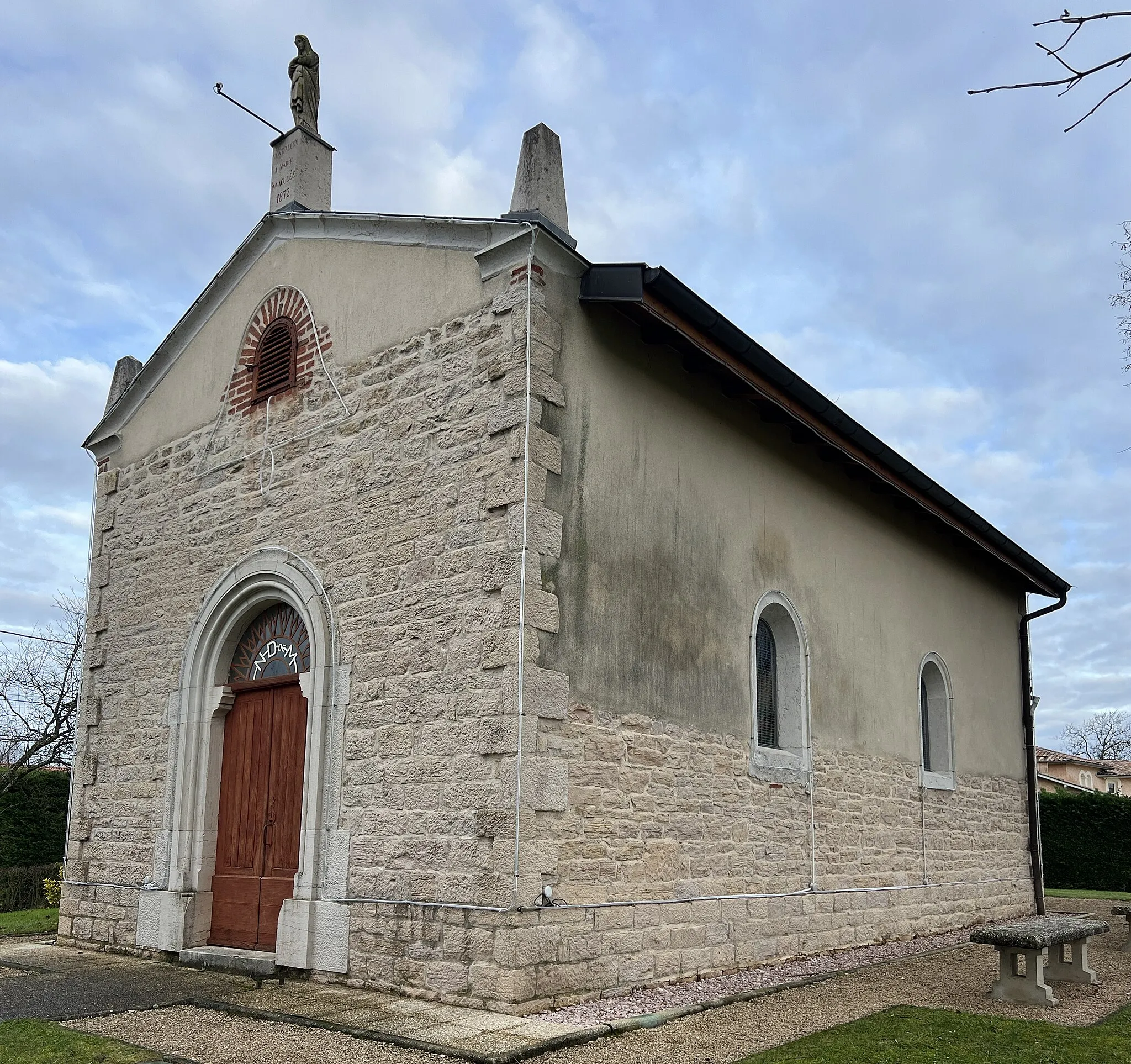
Déromptey271 mPeakDéromptey: A small village nestled in the heart of the Beaujolais vineyards, offering stunning views of the surrounding countryside.
12 km
12 km
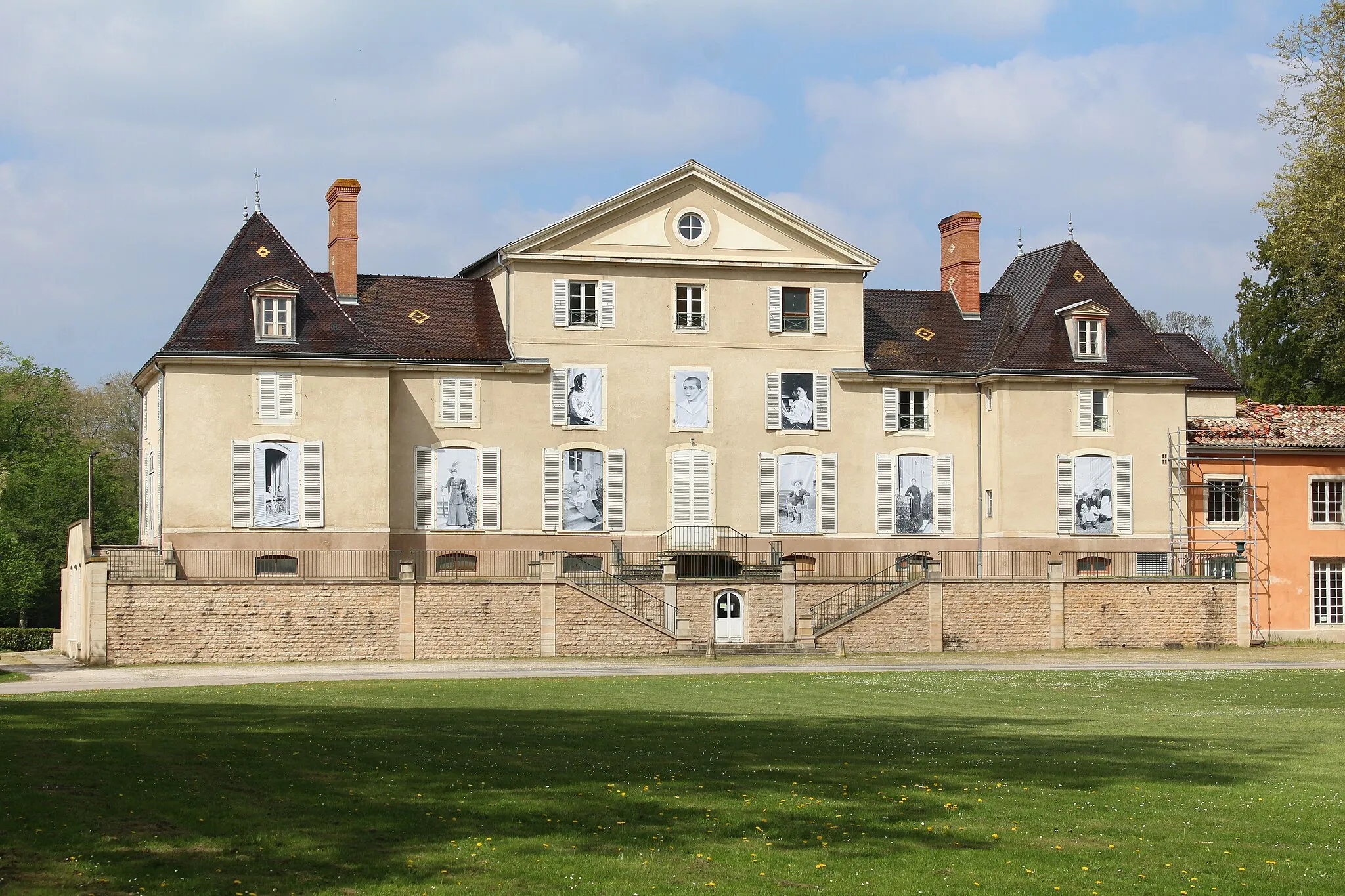
MontceauxVillageMontceaux: A charming village with narrow streets and a medieval castle, providing a glimpse into the region's rich history.
26 km
26 km
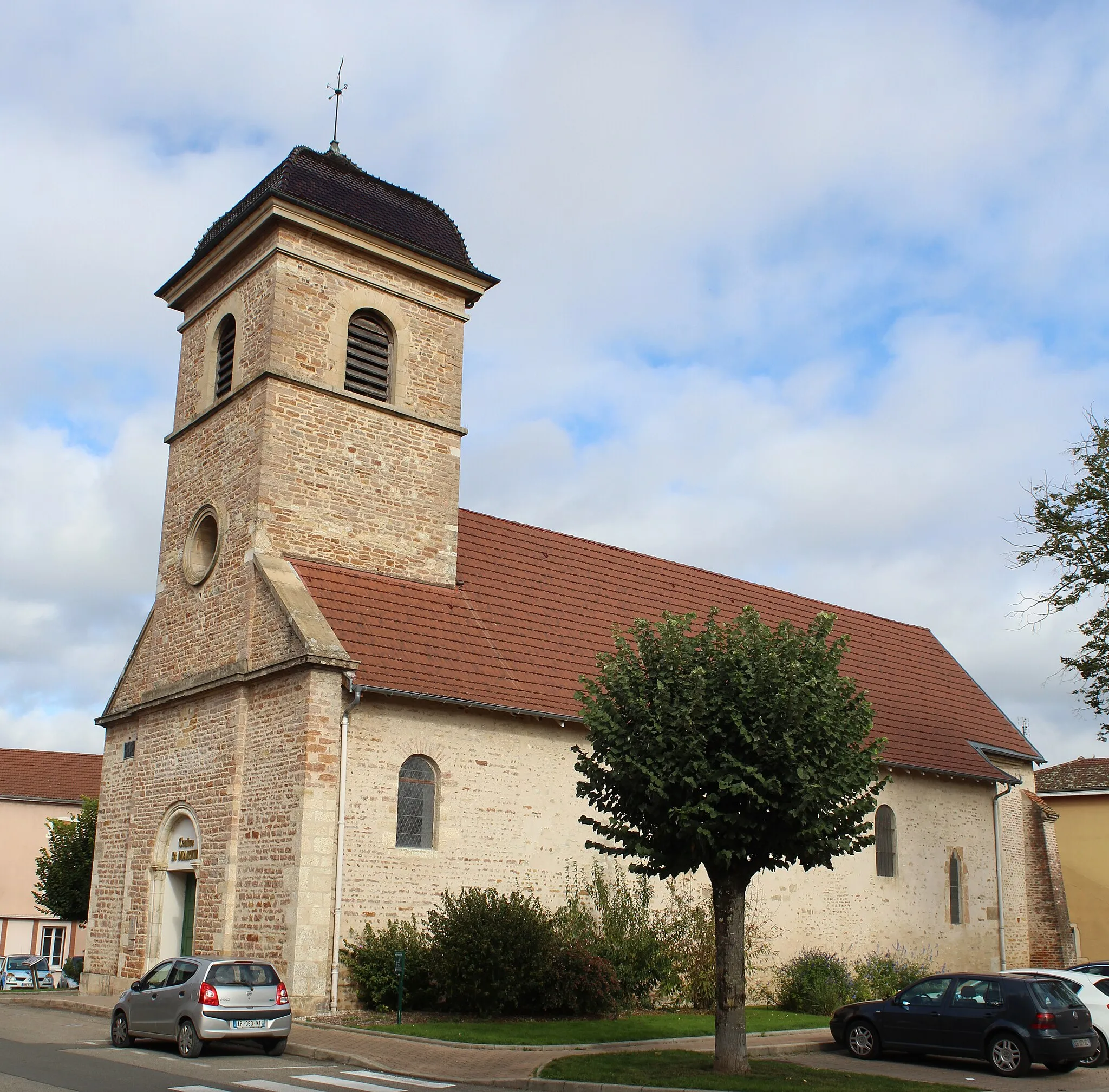
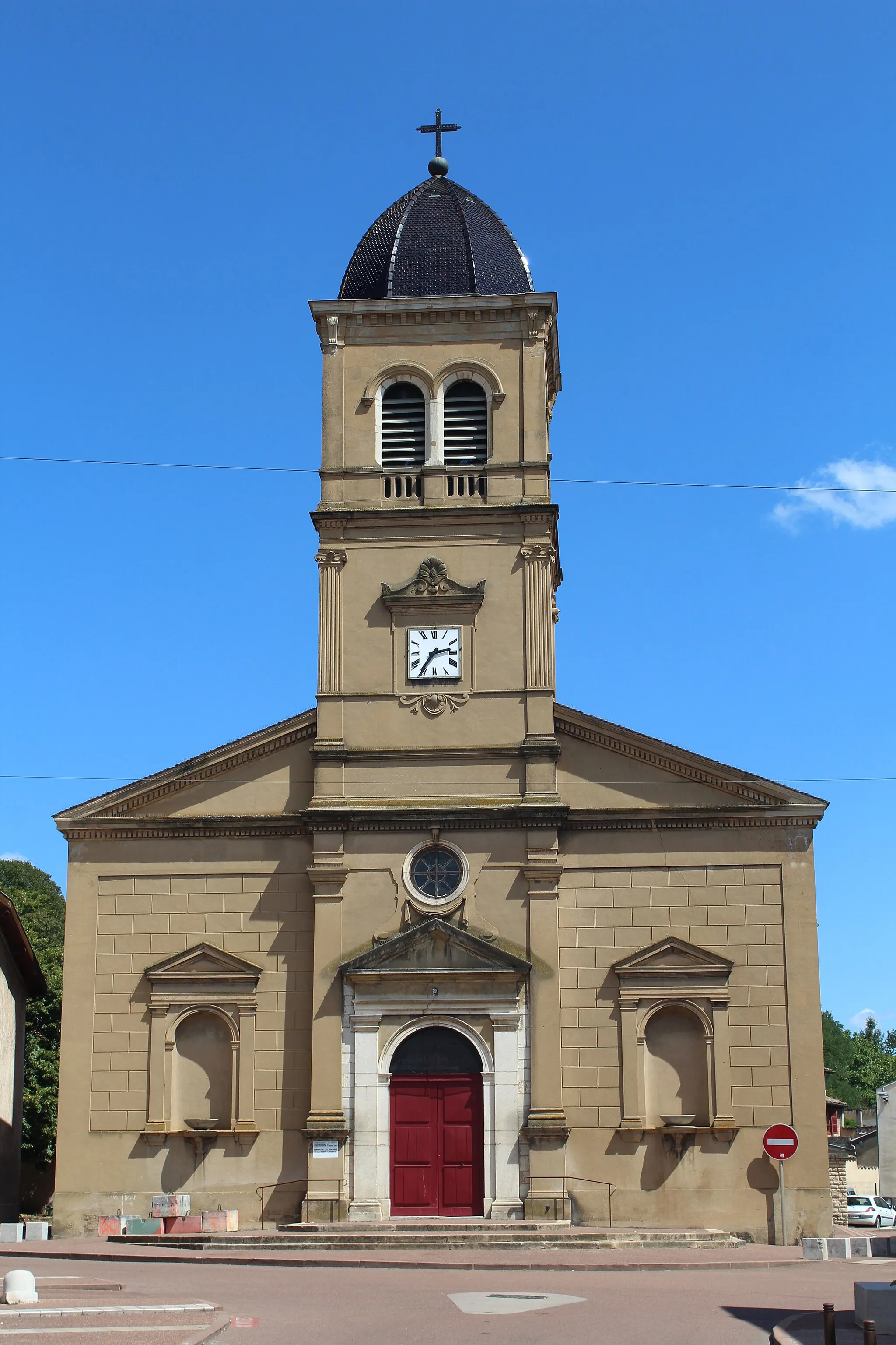
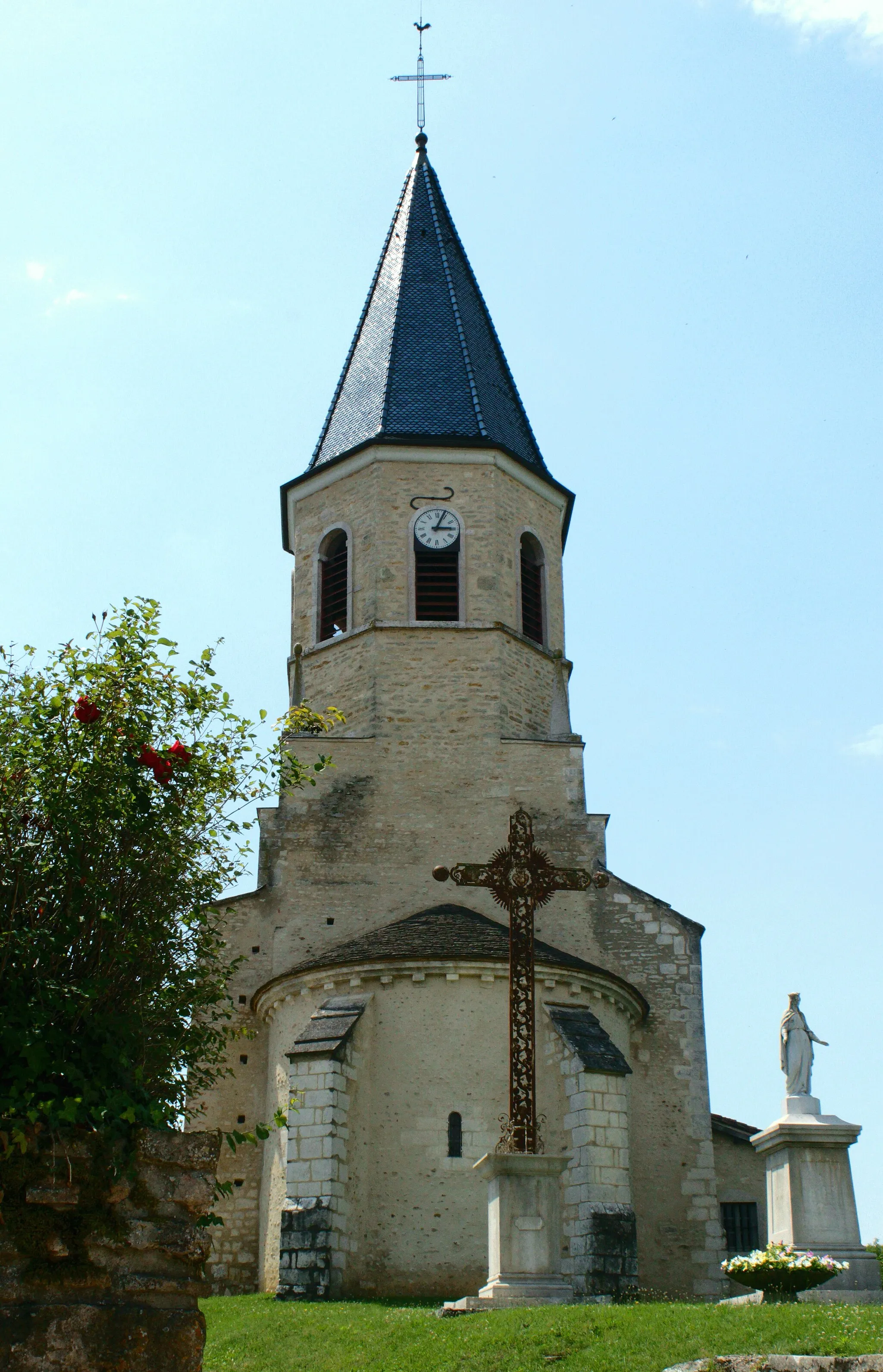
Corcelles-en-BeaujolaisVillageCorcelles-en-Beaujolais: A historic village with stone houses and a beautiful church, known for its wine cellars and tasting opportunities.
34 km
34 km
Col des Labourons436 mMountain PassCol des Labourons: A challenging climb rewarded with panoramic views of the Beaujolais countryside and the vineyards below.
46 km
46 km
Col de Boubon648 mMountain PassCol de Boubon: A legendary climb known for its steepness and demanding gradients, attracting cyclists from all over the region.
56 km
56 km
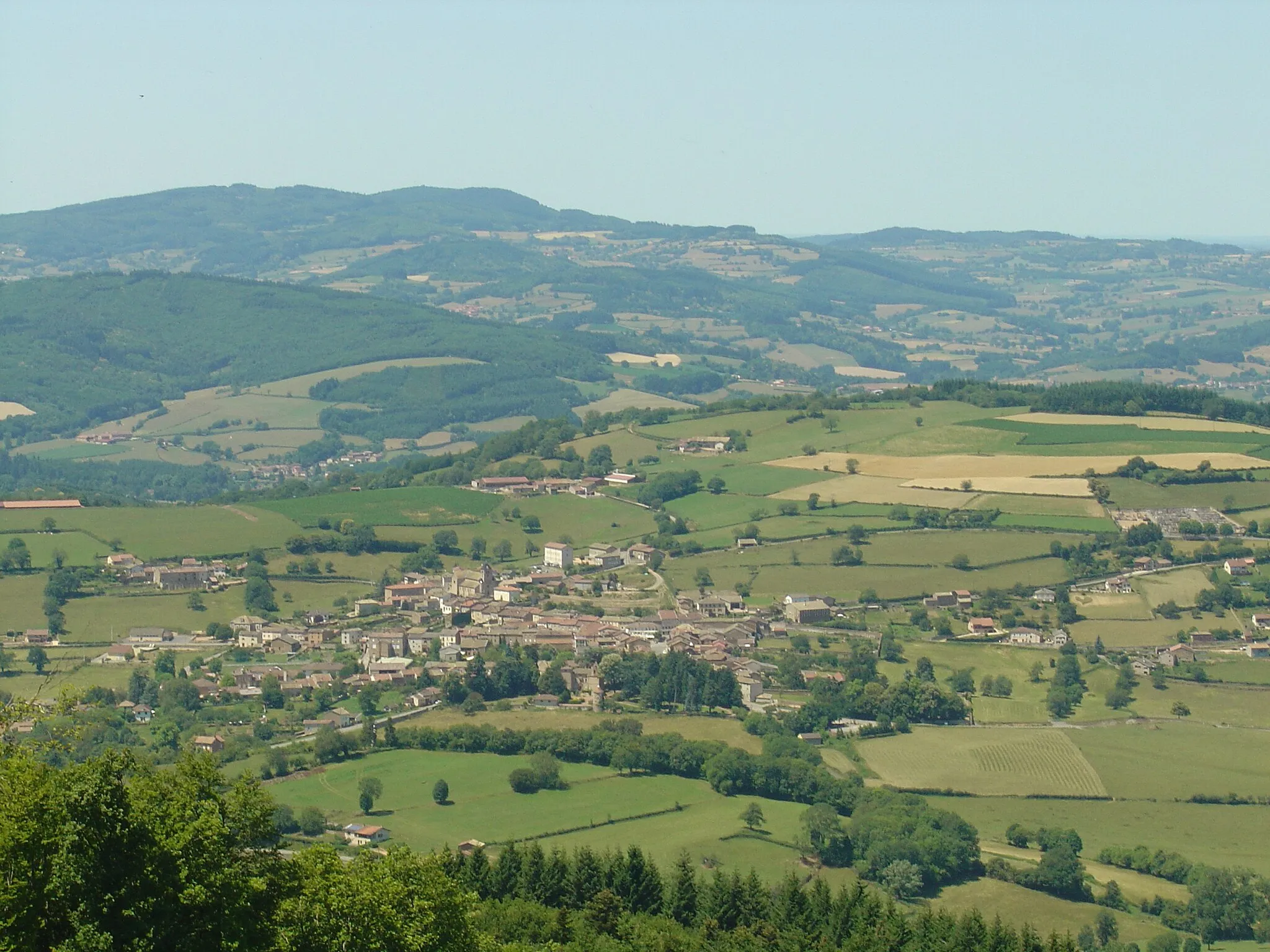
TramayesVillageTramayes: A quaint village surrounded by green hills, offering a serene atmosphere and lovely country scenery.
65 km
65 km
ClermainVillageClermain: A traditional Beaujolais village with narrow streets and old stone houses, showcasing the local architectural style.
74 km
74 km
JalognyVillageJalogny: A peaceful village surrounded by rolling hills and vineyards, providing a tranquil setting for a rest stop.
84 km
84 km
Col de la Croix de Montmain501 mMountain PassCol de la Croix de Montmain: A challenging climb with breathtaking views of the Beaujolais countryside and distant mountains.
101 km
101 km
Table d'orientation de La GrisièreViewpointTable d'orientation de La Grisière: A viewpoint offering panoramic vistas of the Beaujolais vineyards and the valley.
104 km
104 km
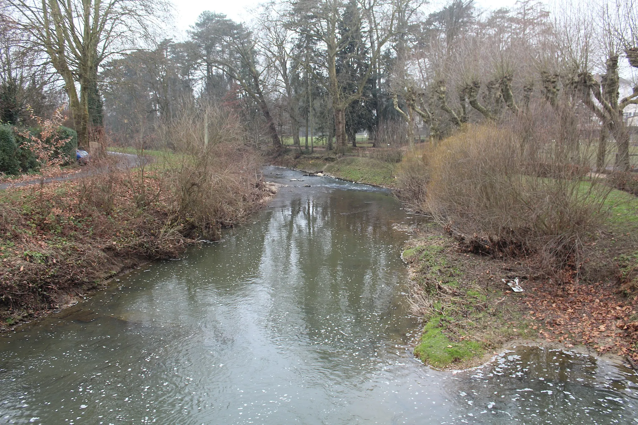
Saint-Laurent-sur-SaôneVillageSaint-Laurent-sur-Saône: A riverside town with a charming waterfront promenade and a lively atmosphere.
112 km
112 km
Pont de VeyleCastle RuinsPont de Veyle: A picturesque bridge spanning the river Veyle, providing a scenic spot for a break and photo opportunities.
121 km
121 km
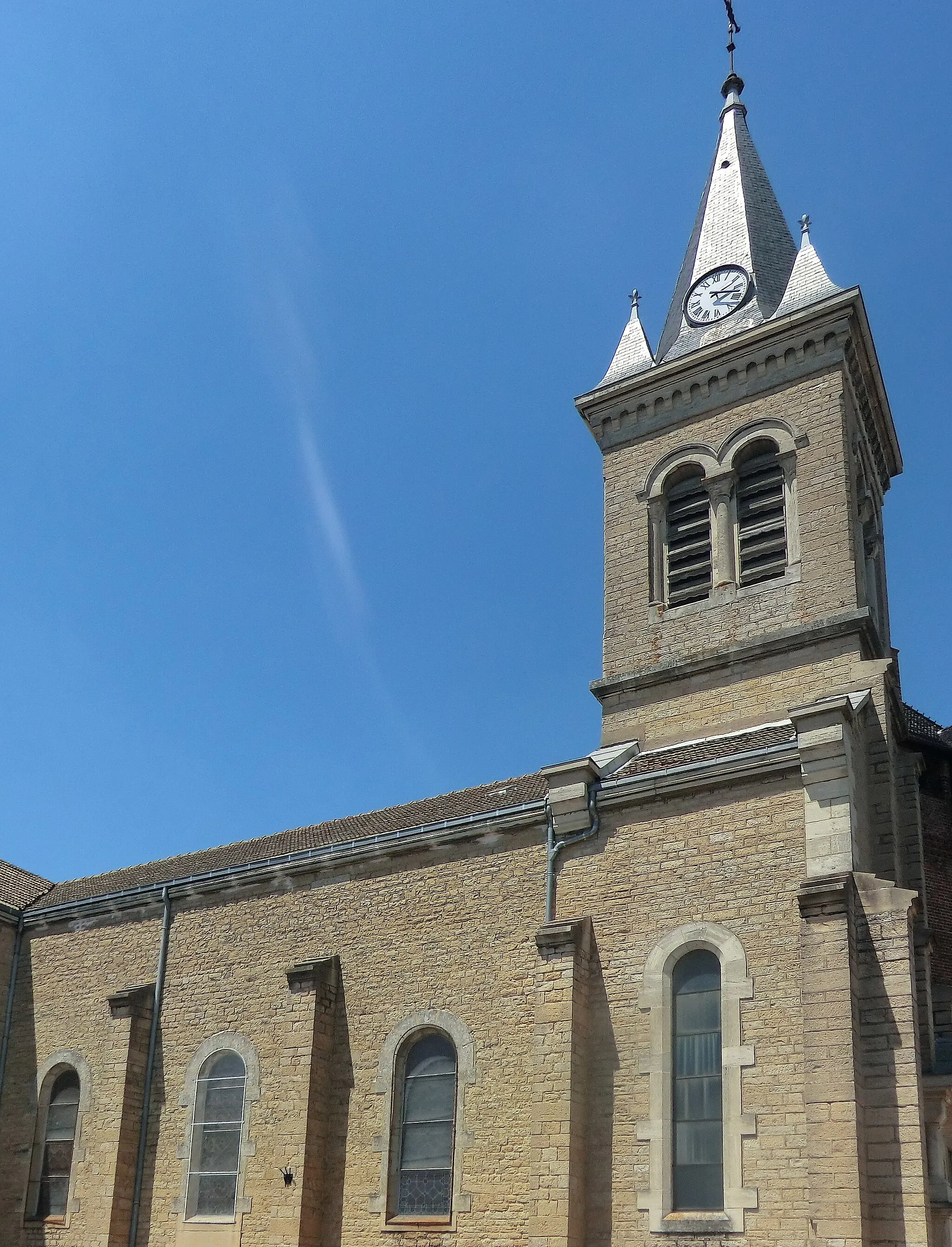
IlliatVillageIlliat: A small village with a beautiful church and traditional houses, showcasing the region's rural charm.
132 km
132 km
Finish: Châtillon-sur-Chalaronne City centerChâtillon-sur-Chalaronne: Cultural and mountainous cycling in France
Cycling routes nearby: