The Montvendre Loop
A road cycling route starting from Cruas
Experience a challenging cycling route with stunning mountain scenery.
Map

The Montvendre Loop is a challenging cycling route that starts near Cruas in Rhône-Alpes, France. This road route covers a distance of 141 kilometers with a total ascent of 1495 meters. It is recommended for experienced cyclists due to its demanding climbs and descents. The highlight of this route is the Col Jérôme Cavalli, a famous climb known for its steep gradients and scenic views. Other highlights along the route include Étoile-sur-Rhône, a picturesque town with traditional architecture, and Cobonne, a small village surrounded by vineyards. The Montvendre Loop offers a combination of tough climbs, fast descents, and breathtaking mountain scenery, making it a truly epic cycling experience.
road
141 km
1495 m
Savage
Route profile
Highlights on the route
0 km
0 km
Start: Cruas Village centerCruas: Cycling paradise in Rhône-Alpes
Cruas is a charming town located in the Rhône-Alpes region of France. It offers excellent cycling opportunities for both road and gravel cyclists, with its varied terrain and scenic landscapes. The town itself has cyclist-friendly facilities, such as bike rental shops and bike paths along the river. A must-visit spot for cyclists near Cruas is the iconic Mont Ventoux, famous for its tough climbs and stunning panoramas. With its cyclist-friendly infrastructure and proximity to renowned climbs, Cruas is a top destination for serious cyclists.7 km
7 km
BaixVillage30 km
30 km
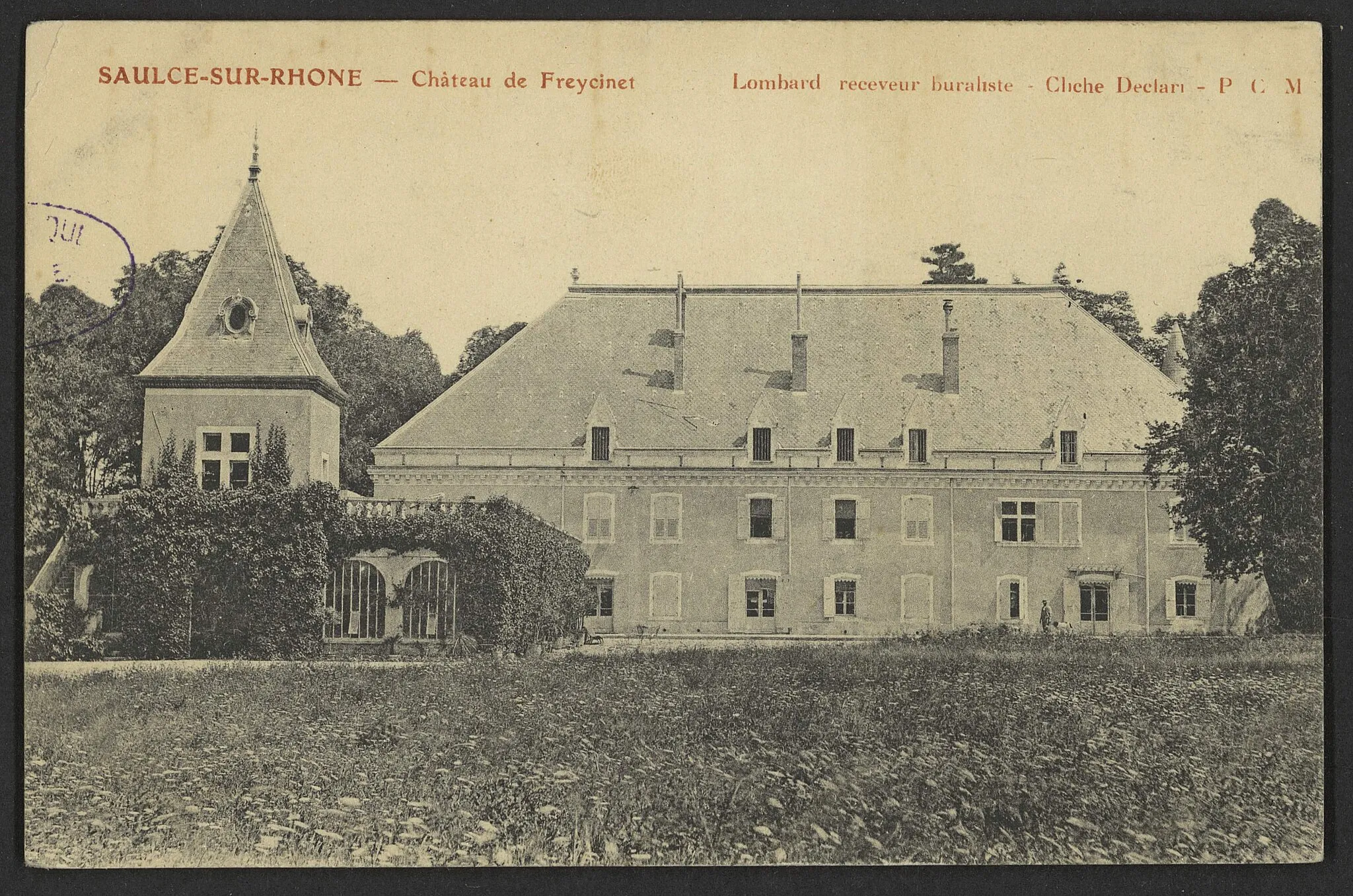
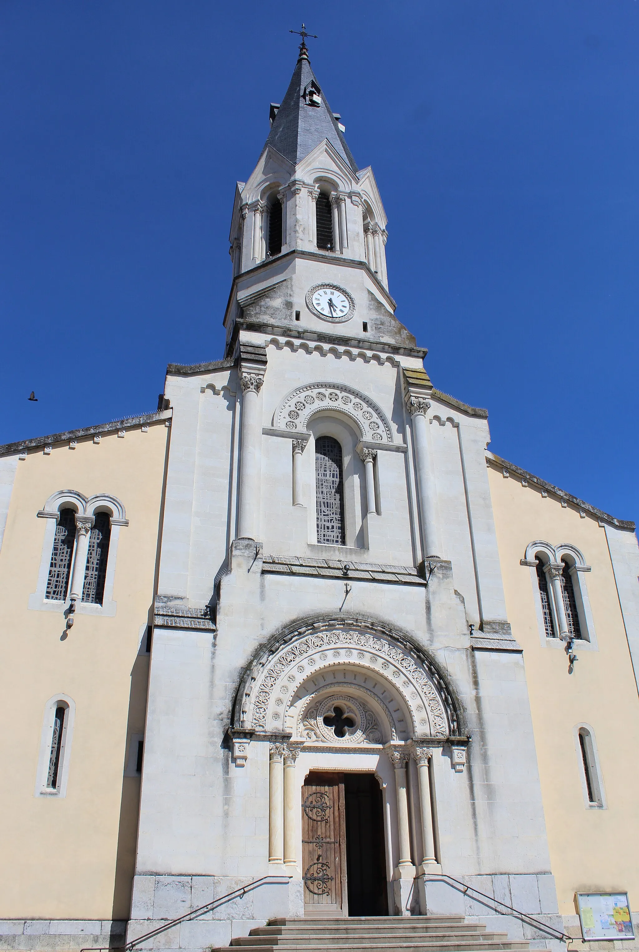
Étoile-sur-RhôneVillageÉtoile-sur-Rhône is a charming town with well-preserved traditional architecture.
43 km
43 km
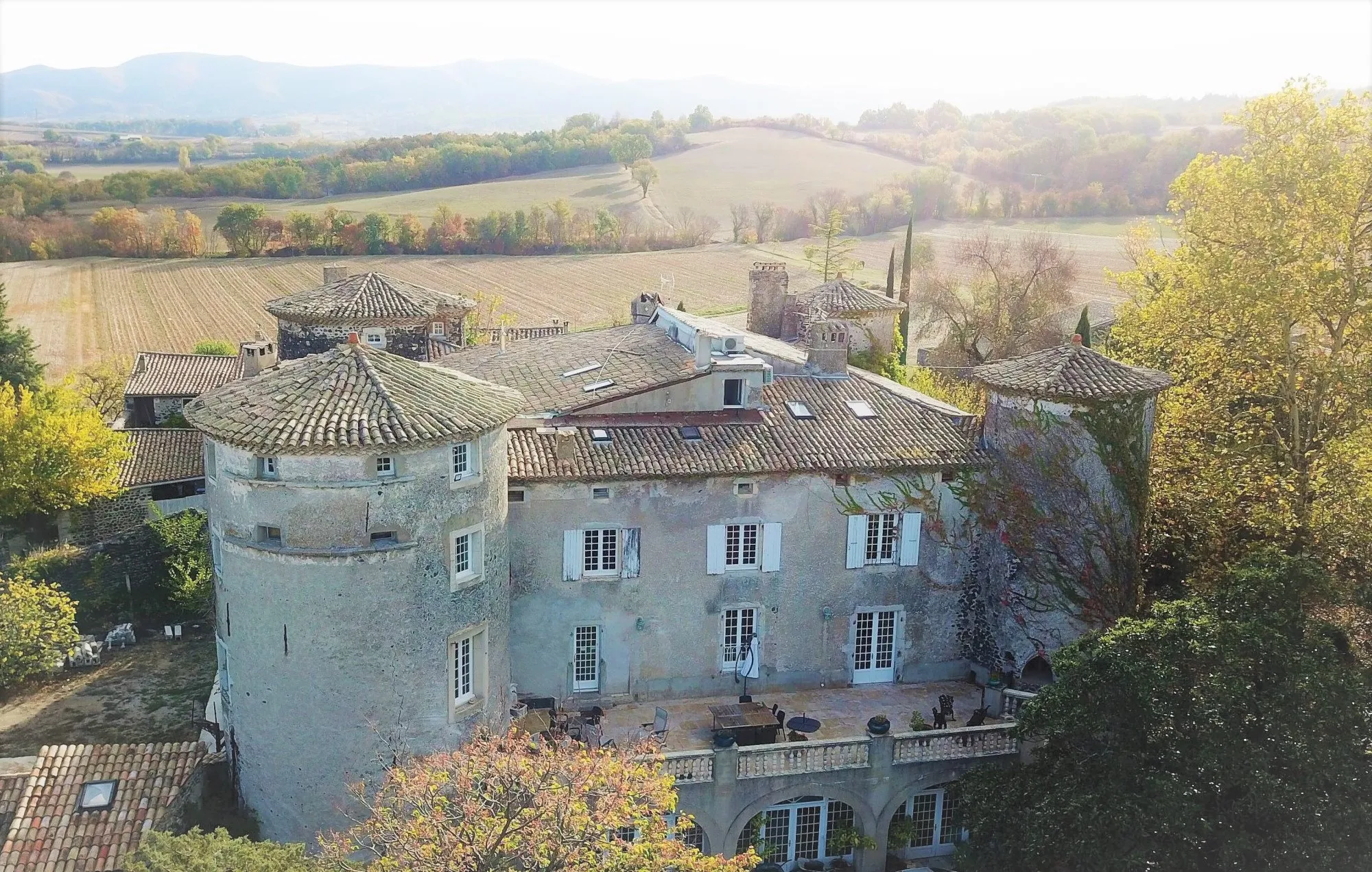
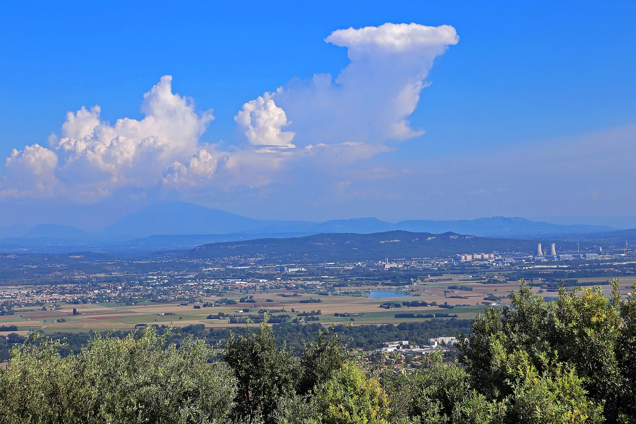
MontvendreVillageMontvendre offers beautiful views of the surrounding mountains and countryside.
68 km
68 km
Col Jérôme Cavalli842 mMountain PassCol Jérôme Cavalli is a legendary climb with challenging gradients and panoramic views at the summit.
80 km
80 km
CobonneVillageCobonne is a tranquil village surrounded by vineyards, perfect for a short break.
105 km
105 km
Cléon-d'AndranVillageCléon-d'Andran is a typical Provençal village with narrow streets and charming stone houses.
128 km
128 km
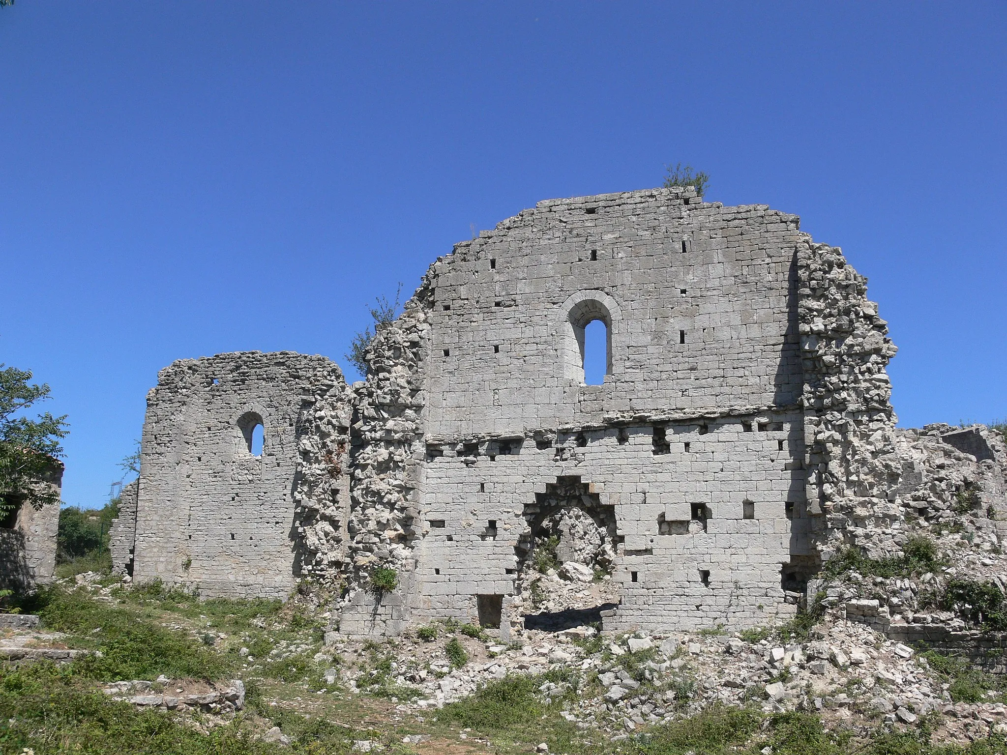
RochemaureVillageRochemaure is a picturesque village located on a hilltop, offering panoramic views of the Rhône River.
136 km
136 km
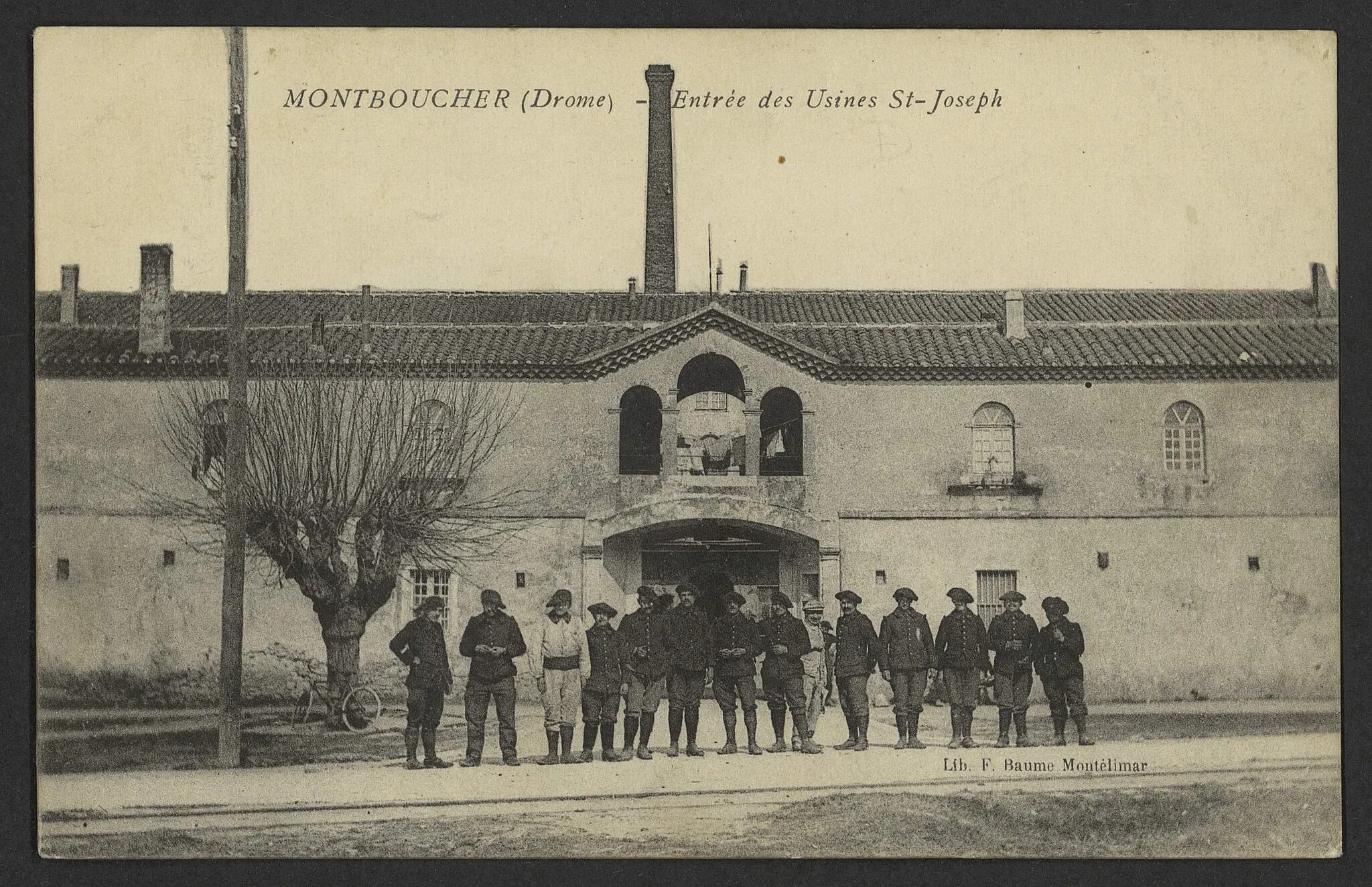
Centrale nucléaire de CruasAttractionThe Centrale nucléaire de Cruas is an iconic landmark in the area.
141 km
141 km
Finish: Cruas Village centerCruas: Cycling paradise in Rhône-Alpes
Cycling routes nearby: