Cruas to Serre de la Cheline Loop
A road cycling route starting from Cruas
From Cruas to a legendary climb - Serre de la Cheline
Map
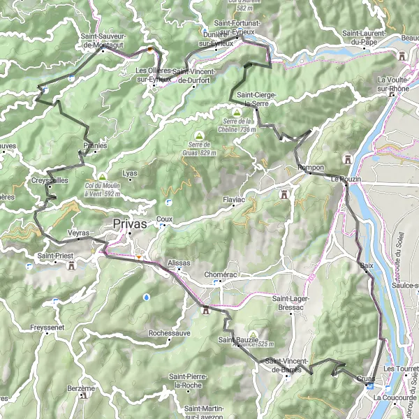
Embark on this 99km road cycling route that takes you from Cruas to the legendary Serre de la Cheline climb and back. With an ascent of 2179m, this route promises a challenging ride suitable for experienced cyclists. Highlights along the way include the Creysseilles village, Saint-Étienne-de-Serres, and the fascinating town of Baix. The difficulty level of this route is high and requires good physical condition. The epicness of this route lies in the iconic Serre de la Cheline climb, a challenging and awe-inspiring experience. Take a break at the Point de vue where you can enjoy stunning panoramic views of the countryside.
road
99 km
2179 m
Tough
Route profile
Highlights on the route
0 km
0 km
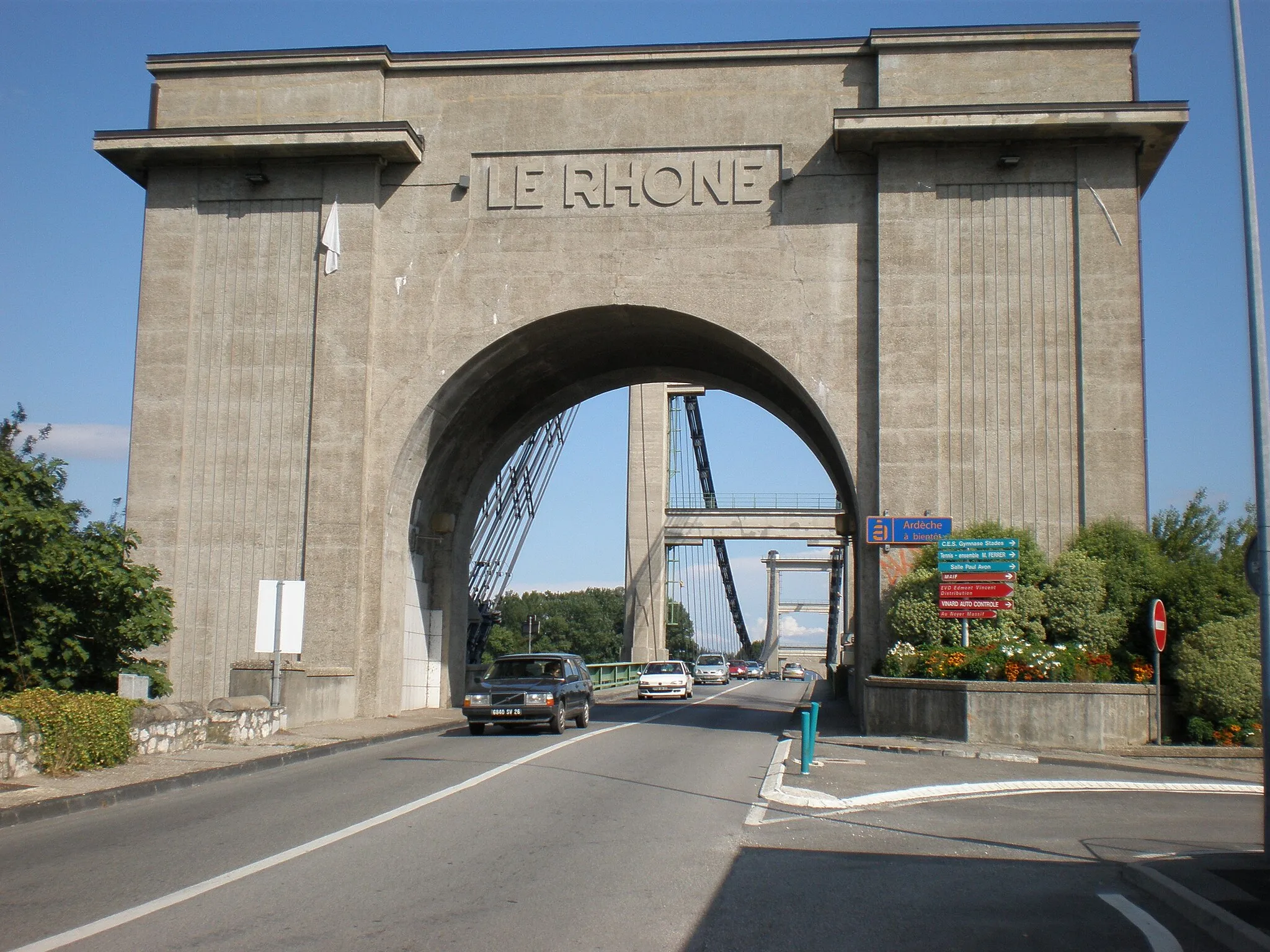
Start: Cruas Village centerCruas: Cycling paradise in Rhône-Alpes
Cruas is a charming town located in the Rhône-Alpes region of France. It offers excellent cycling opportunities for both road and gravel cyclists, with its varied terrain and scenic landscapes. The town itself has cyclist-friendly facilities, such as bike rental shops and bike paths along the river. A must-visit spot for cyclists near Cruas is the iconic Mont Ventoux, famous for its tough climbs and stunning panoramas. With its cyclist-friendly infrastructure and proximity to renowned climbs, Cruas is a top destination for serious cyclists.0 km
0 km
CruasVillageCruas serves as the starting point for this legendary route, providing access to beautiful Rhône-Alpes landscapes.
7 km
7 km
Point de vueViewpointThe Point de vue, with its panoramic vistas, is a must-stop point offering a rewarding view of the route ahead.
32 km
32 km
CreysseillesVillageCreysseilles is a picturesque village along the route, known for its breathtaking natural surroundings.
47 km
47 km
Saint-Étienne-de-SerreVillageSaint-Étienne-de-Serre is a small and charming village full of character and local charm.
64 km
64 km
Saint-Fortunat-sur-EyrieuxVillageCyclists pass through Saint-Fortunat-sur-Eyrieux, a tranquil village offering a peaceful break amidst nature.
73 km
73 km
Serre de la Cheline736 mPeakSerre de la Cheline is the highlight of this route, famous for its legendary climb that challenges even the best climbers.
91 km
91 km
BaixVillageAs you approach Baix, enjoy the scenic views and take a moment to appreciate the beautiful Rhône-Alpes region.
99 km
99 km
Finish: Cruas Village centerCruas: Cycling paradise in Rhône-Alpes
Cycling routes nearby: