Cruas Circuit
A road cycling route starting from Cruas
A scenic road route with a challenging ascent
Map
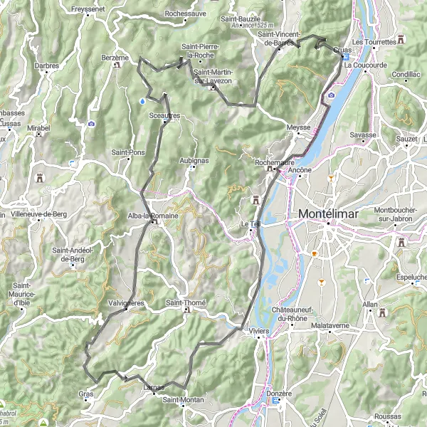
With a total distance of 96km and 1686m of ascent, the Cruas Circuit provides cyclists with beautiful landscapes and a tough climbing challenge. Starting in Cruas, the route takes riders through Le Teil, Larnas, Alba-la-Romaine, and Sceautres among other picturesque locations. The difficulty level is moderate to high, suitable for experienced and well-trained amateurs. This route offers epicness in terms of stunning scenery and the exhilaration of conquering steep hills. Highlights along the route include the Neck de Sceautres, a dramatic natural formation, and the Saint-Vincent-de-Barrès viewpoint, providing panoramic views of the surrounding area.
road
96 km
1686 m
Tough
Route profile
Highlights on the route
0 km
0 km
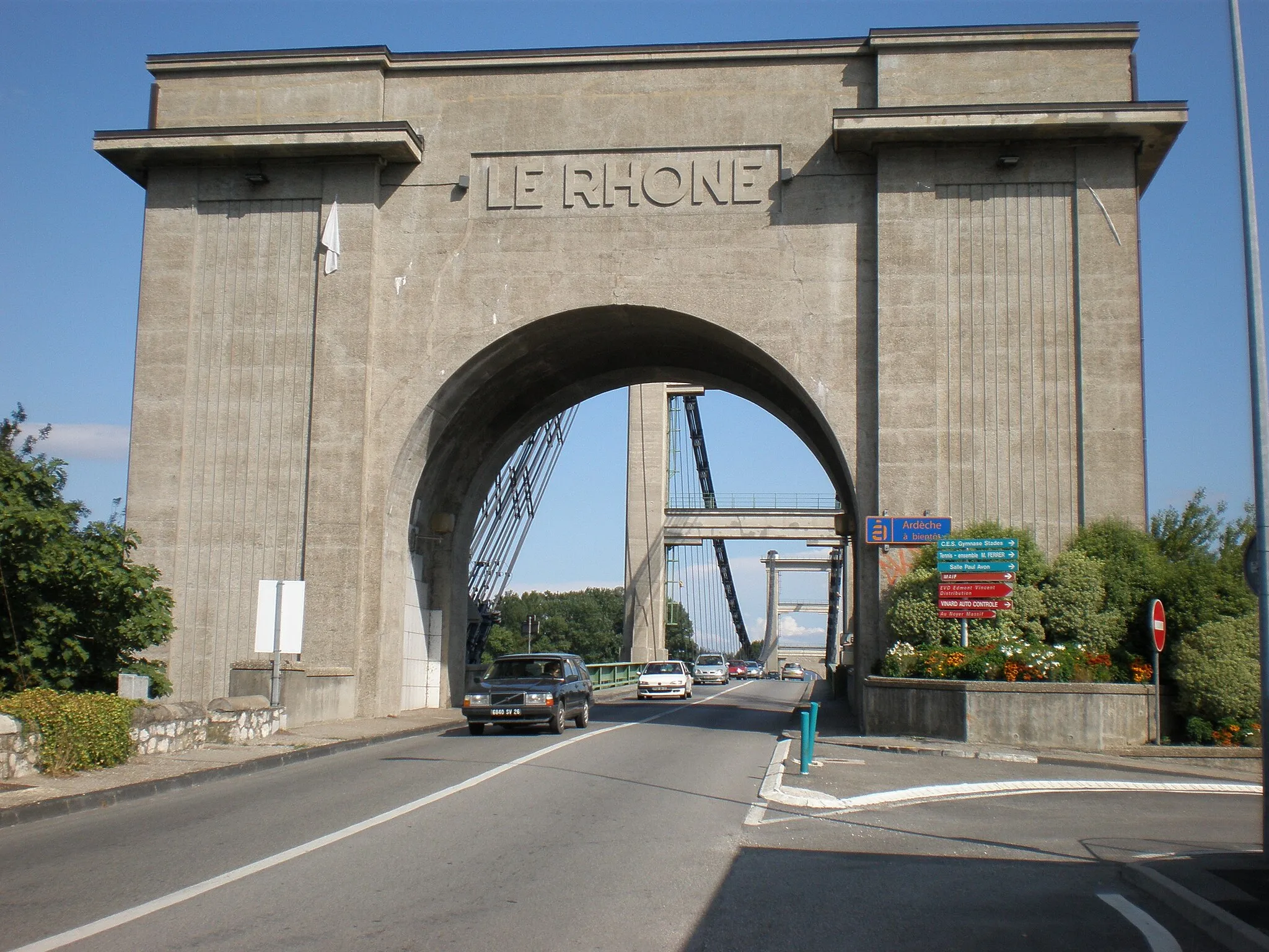
Start: Cruas Village centerCruas: Cycling paradise in Rhône-Alpes
Cruas is a charming town located in the Rhône-Alpes region of France. It offers excellent cycling opportunities for both road and gravel cyclists, with its varied terrain and scenic landscapes. The town itself has cyclist-friendly facilities, such as bike rental shops and bike paths along the river. A must-visit spot for cyclists near Cruas is the iconic Mont Ventoux, famous for its tough climbs and stunning panoramas. With its cyclist-friendly infrastructure and proximity to renowned climbs, Cruas is a top destination for serious cyclists.15 km
15 km
Le TeilVillageLocated in Le Teil, the highlight offers a glimpse of traditional French village life along the route.
33 km
33 km
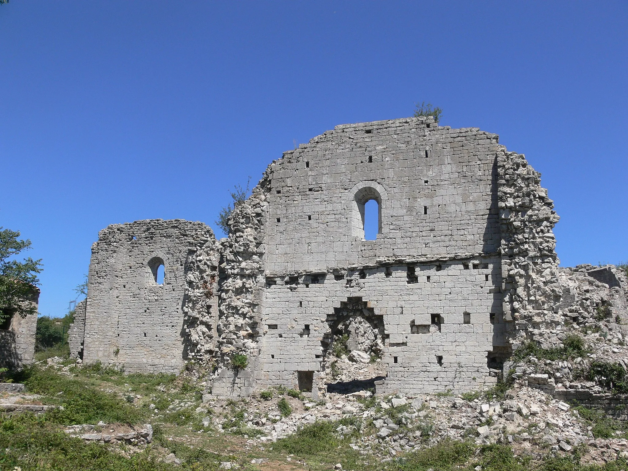
LarnasVillageLarnas boasts an ancient castle and picturesque streets, perfect for a short exploration during the ride.
54 km
54 km
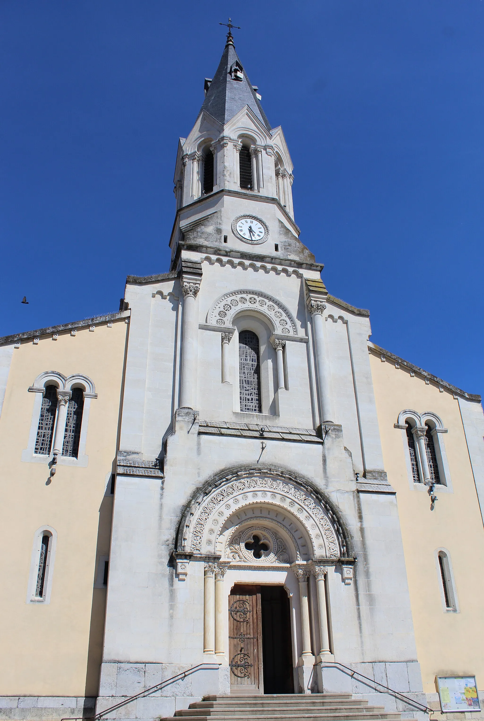
Alba-la-RomaineVillageAlba-la-Romaine is known for its Roman ruins, making it a cultural highlight on the route.
62 km
62 km
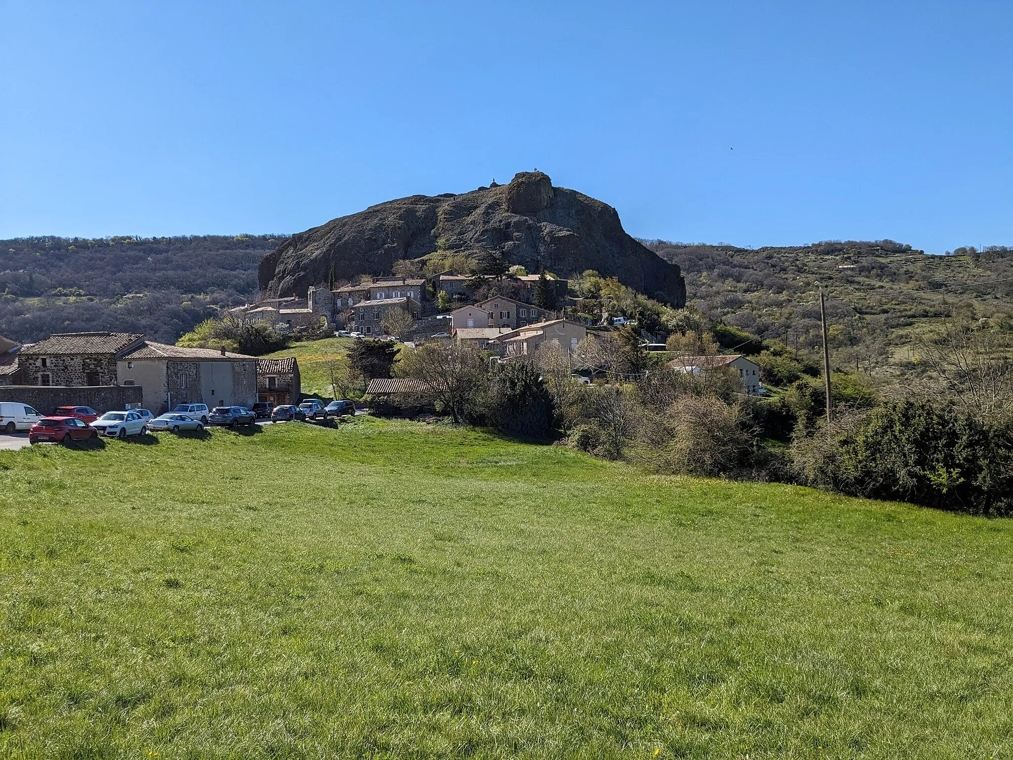
Neck de Sceautres543 mPeakThe Neck de Sceautres is a local gem, offering breathtaking natural scenery during the climb.
62 km
62 km
SceautresVillageSceautres is a charming village that travelers pass through on the route, with quaint shops and cafes to enjoy.
76 km
76 km
Saint-Pierre-la-RocheVillageSaint-Pierre-la-Roche is a small but stunning village with magnificent views of the region.
88 km
88 km
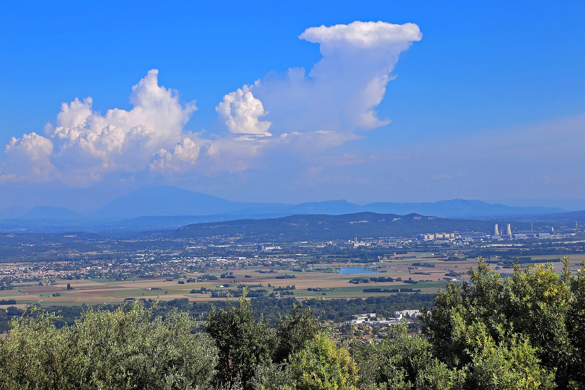
Saint-Vincent-de-BarrèsVillageAt Saint-Vincent-de-Barrès, the viewpoint offers cyclists a well-deserved break with stunning panoramic vistas.
88 km
88 km
Point de vueViewpointThe Point de vue, found at the highest point on the route, showcases breathtaking views of the surrounding countryside.
96 km
96 km
Finish: Cruas Village centerCruas: Cycling paradise in Rhône-Alpes
Cycling routes nearby: