Villards-sur-Thônes Loop
A gravel cycling route starting from La Clusaz
Explore the picturesque village of Villards-sur-Thônes and enjoy panoramic views of the Aravis Mountains.
Map
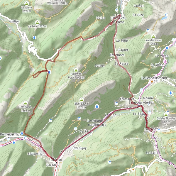
This gravel route takes you through the charming village of Les Villards-sur-Thônes, where you can immerse yourself in the rich local culture. With a total ascent of 1675 meters and a distance of 48 kilometers, this route offers a moderate challenge for experienced gravel riders. The highlight of the ride is the Belvédère de l'Arpettaz, where you can admire stunning panoramic views of the surrounding mountains. Other notable highlights include the Abri de la Chaille, an ancient shelter used by shepherds, and the Col des Glières, a historical site from World War II. Overall, this route provides a unique cycling experience with a mix of natural beauty and cultural heritage.
gravel
48 km
1675 m
Tough
Route profile
Highlights on the route
0 km
0 km
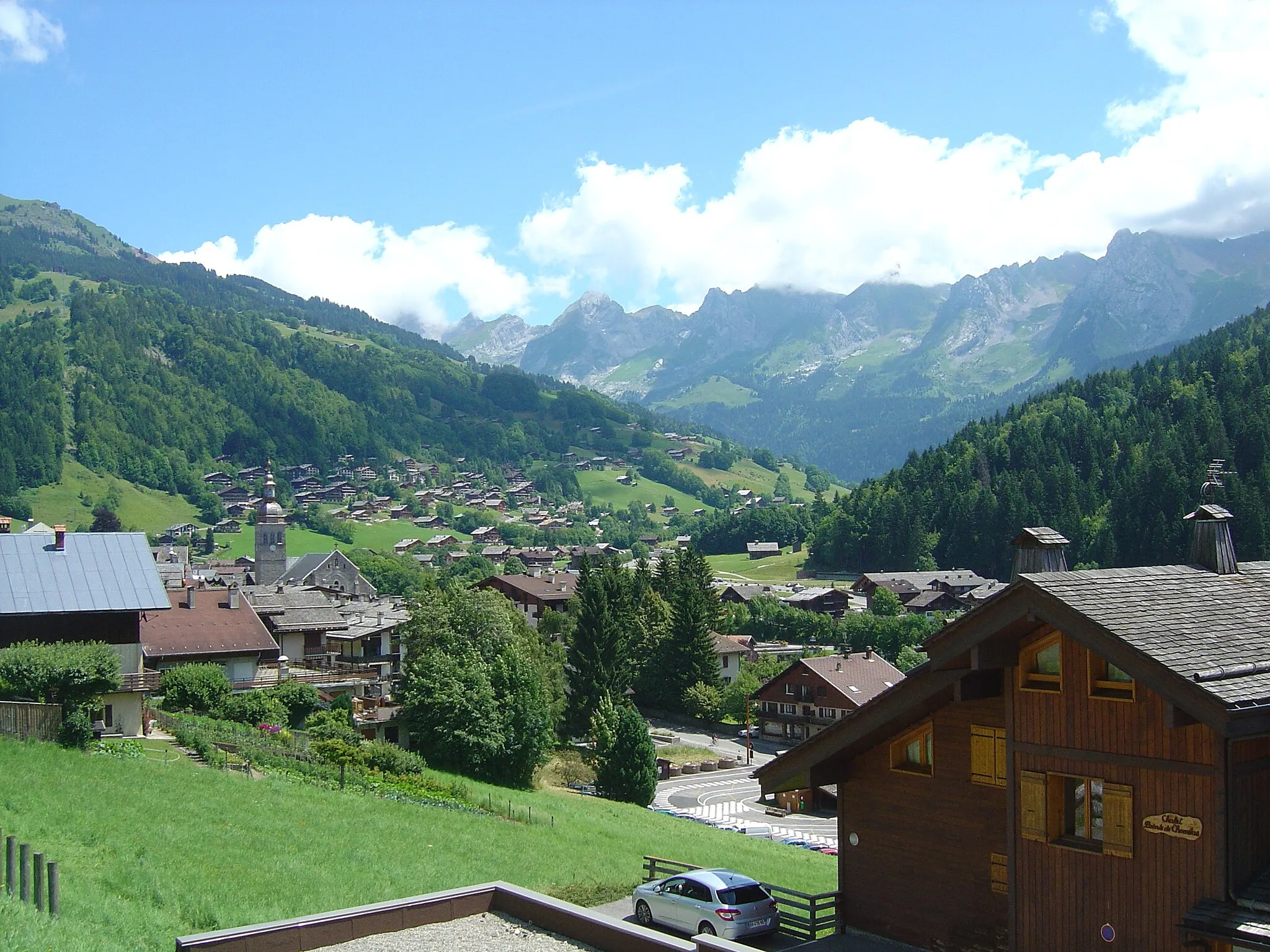
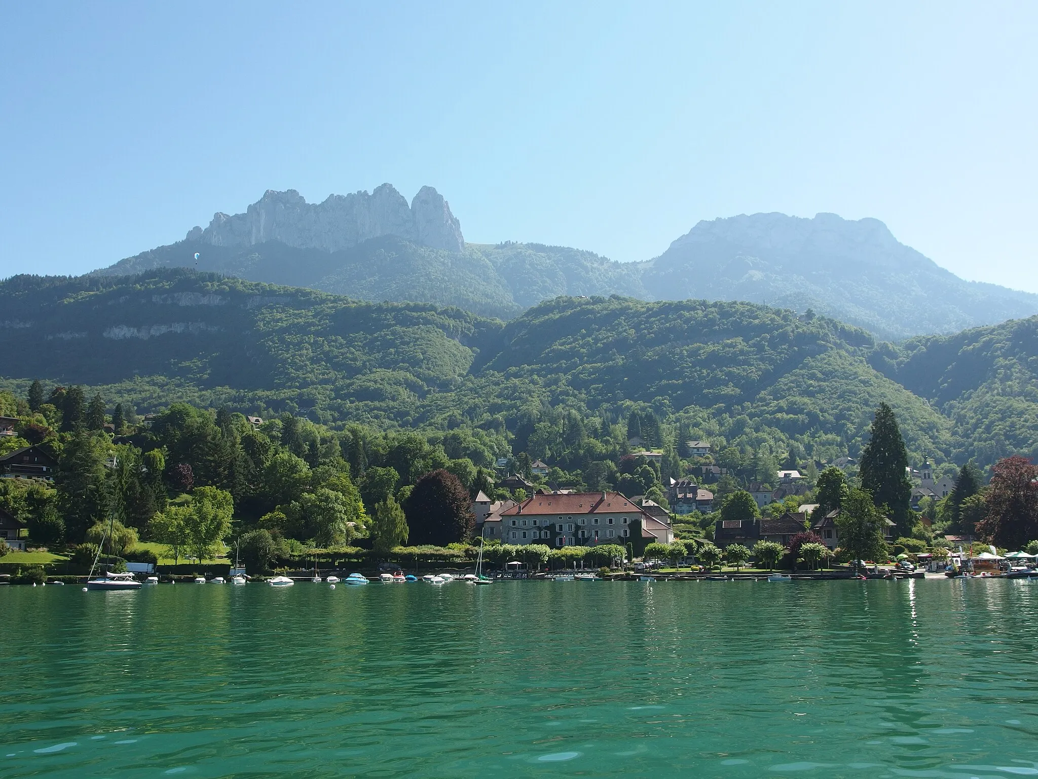
Start: La Clusaz Village centerLa Clusaz: Conquer the legendary climbs of La Clusaz and witness alpine beauty
La Clusaz, located in the Rhône-Alpes region of France, is a renowned cycling destination in the French Alps. The locality offers an array of challenging climbs, including the famed Col des Aravis and Col de la Colombière. La Clusaz also provides access to breathtaking mountain scenery and thrilling descents. With its well-connected network of cycling routes and numerous cycling events, La Clusaz is a paradise for road cyclists seeking legendary climbs and mountain vistas.7 km
7 km
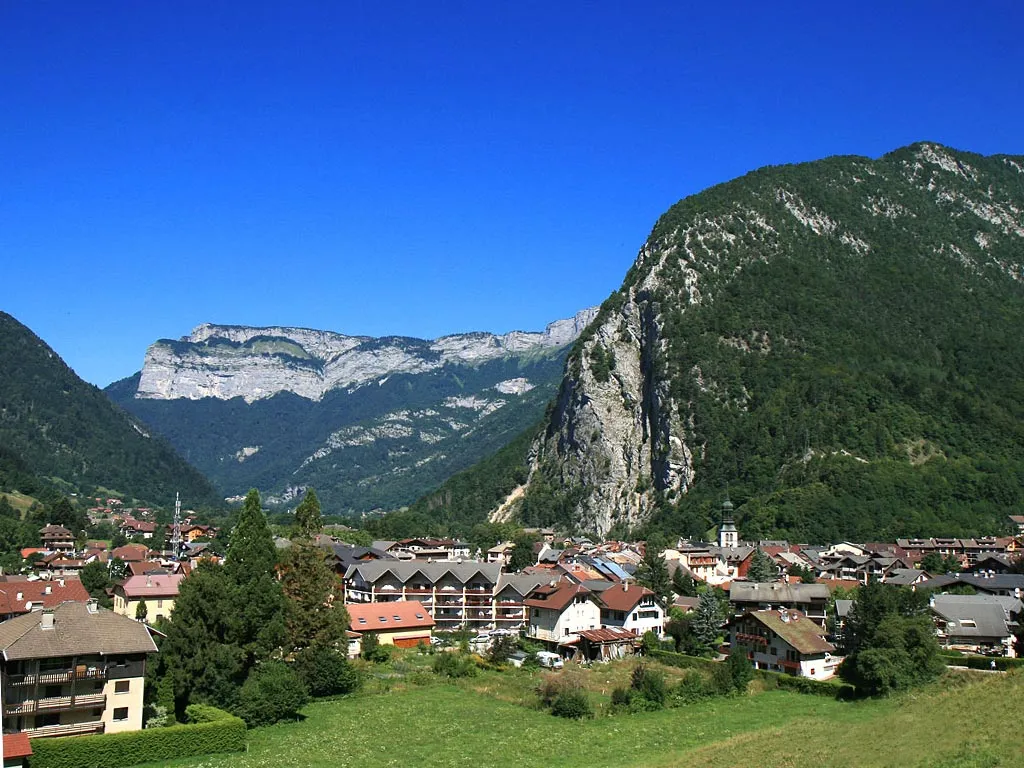
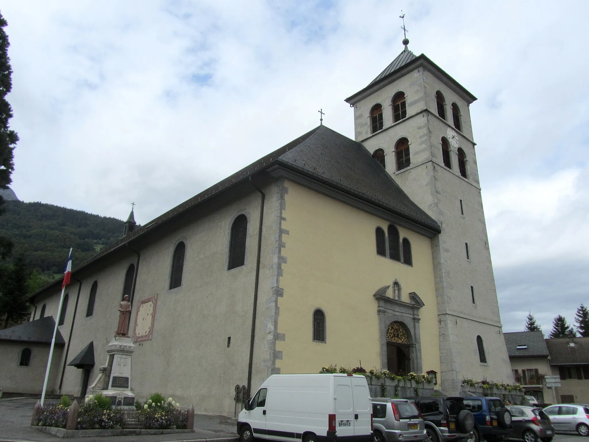
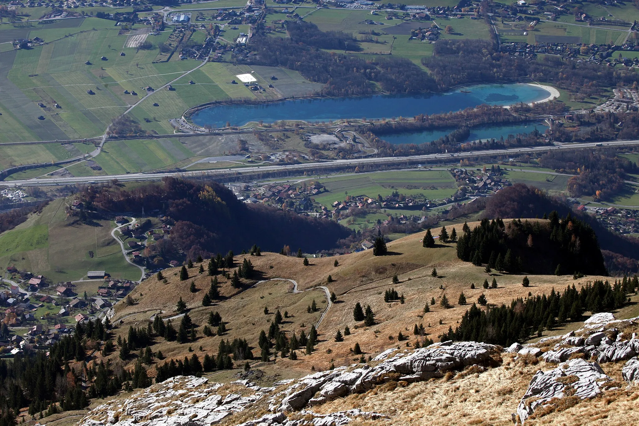
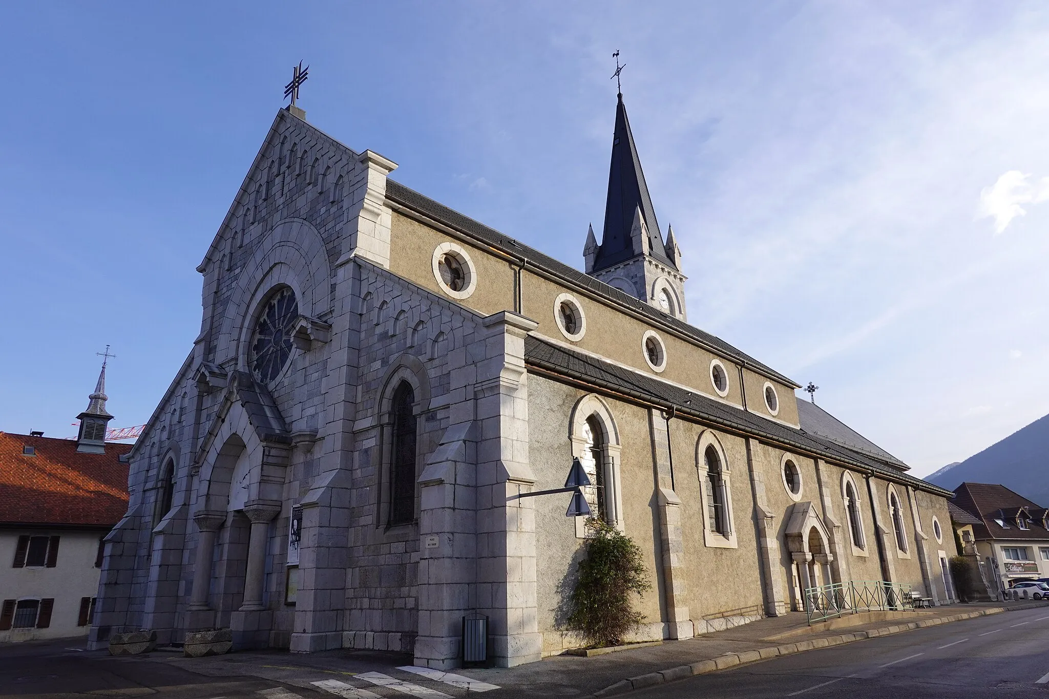
Les Villards-sur-ThônesVillageLocated in Les Villards-sur-Thônes, this village offers a charming blend of traditional architecture and natural beauty.
15 km
15 km
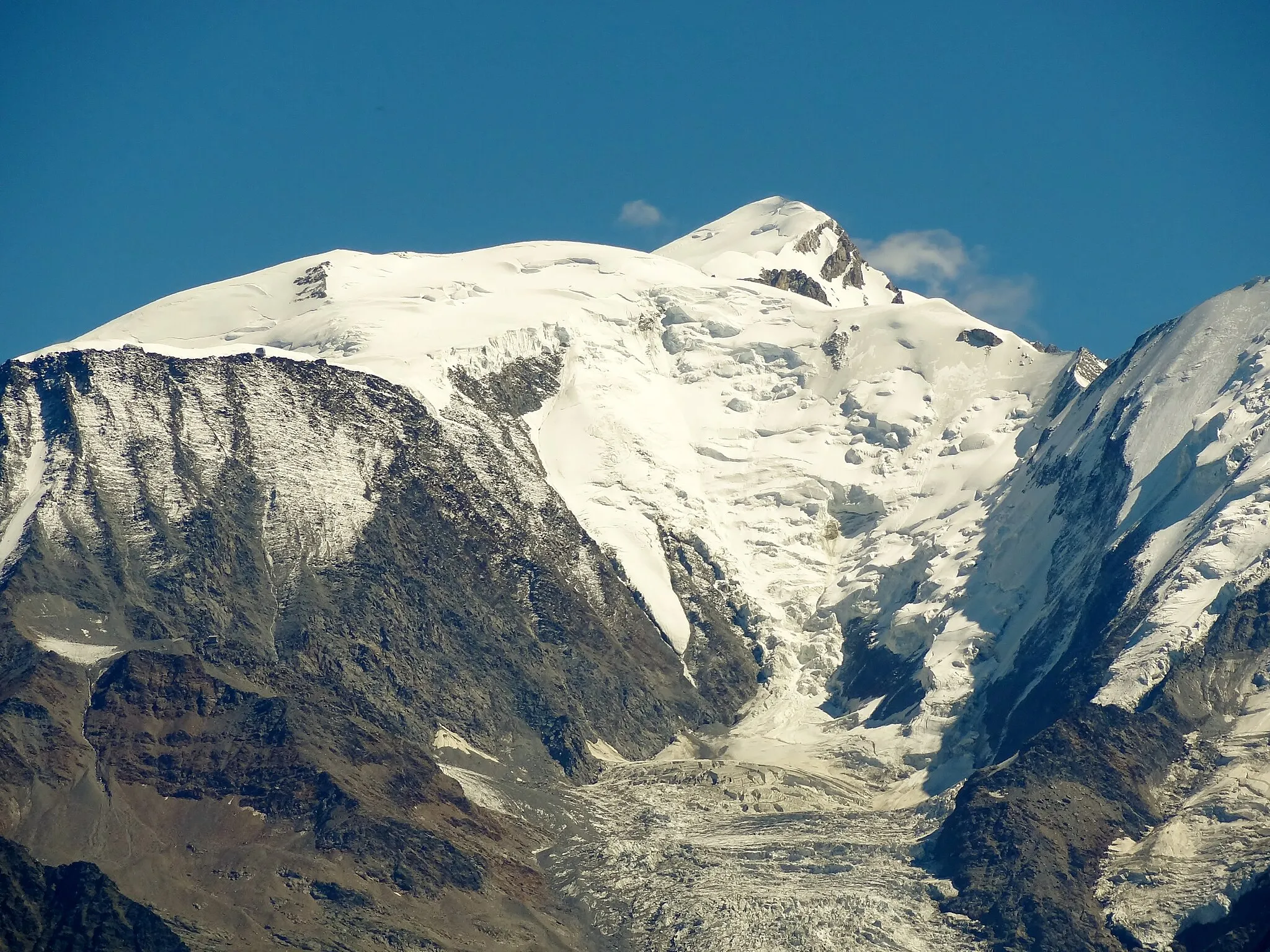
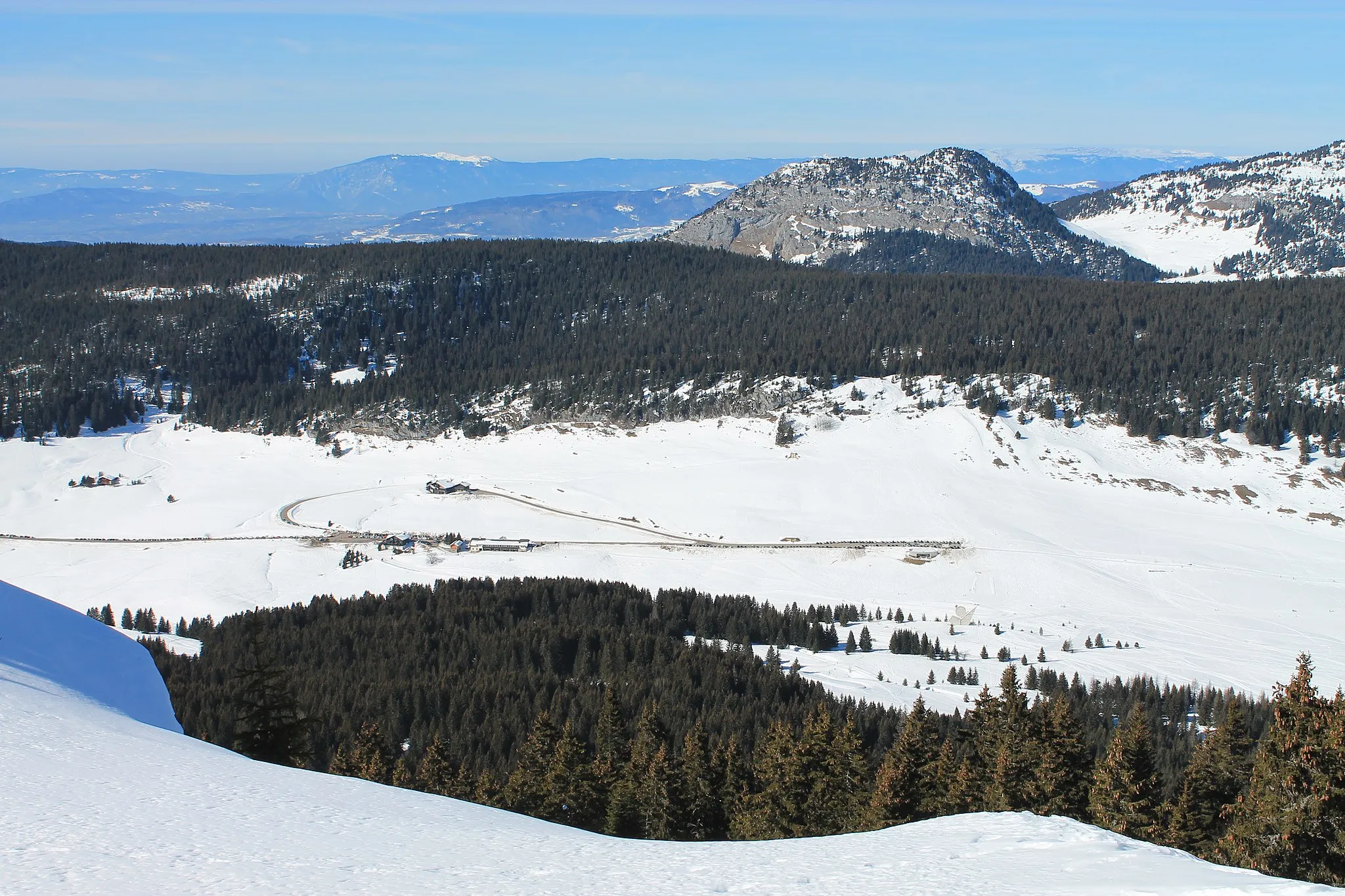
Belvédère de l'ArpettazViewpointThe Belvédère de l'Arpettaz offers panoramic views of the surrounding Aravis Mountains, making it a must-visit spot during your ride.
20 km
20 km
Abri de la ChailleShelterAbri de la Chaille is an ancient stone shelter that was once used by local shepherds. Take a moment to learn about the region's rural traditions.
28 km
28 km
Col des Glières1440 mMountain PassCol des Glières is a historical site from World War II and serves as a memorial for the French Resistance fighters who operated in the area.
45 km
45 km
Col de St Jean de Sixt956 mMountain PassCol de St Jean de Sixt offers a challenging ascent and rewards riders with breathtaking views of the surrounding landscapes.
48 km
48 km
La GrenetteShelterLa Grenette is a quaint spot to take a break and enjoy a meal or drink while soaking in the local atmosphere.
48 km
48 km
Finish: La Clusaz Village centerLa Clusaz: Conquer the legendary climbs of La Clusaz and witness alpine beauty
Cycling routes nearby: