Morette Route
A road cycling route starting from Moirans
Conquer the challenging Col de Châtain on this epic road cycling route
Map
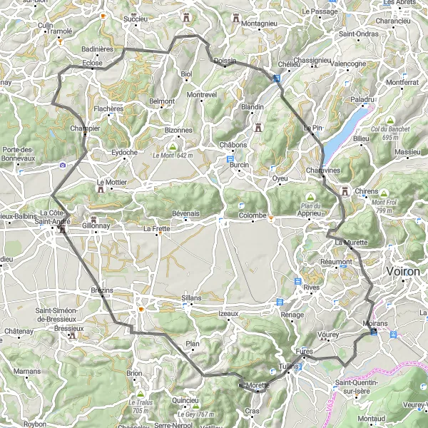
Embark on a thrilling adventure on the Morette Route, a 98-kilometer road cycling route that offers stunning views and a challenging ascent of 1470 meters. The highlight of the route is the Col de Châtain, a famous climb renowned for its difficulty and rewarding panoramic views. Along the way, cyclists can also enjoy the charming villages of Brézins, Champier, and Châteauvilain, each offering its own unique charm.
road
98 km
1470 m
Savage
Route profile
Highlights on the route
0 km
0 km
Start: Moirans Village centerMoirans: Conquer the famous Col du Granier and enjoy diverse cycling routes in Moirans.
Moirans is a town located in the Rhône-Alpes region of France. From a cyclist's perspective, Moirans offers a variety of cycling routes that pass through diverse landscapes, including rolling hills and picturesque valleys. The roads in this area are generally well-maintained, making it enjoyable for both road and gravel cyclists. One of the notable cycling spots nearby is the Col du Granier, a well-known climb that offers breathtaking views at its summit. Overall, Moirans is a fantastic locality for cycling enthusiasts seeking challenging climbs and stunning scenery.12 km
12 km
MoretteVillageAdmire the picturesque village of Morette with its stunning views and charming architecture.
16 km
16 km
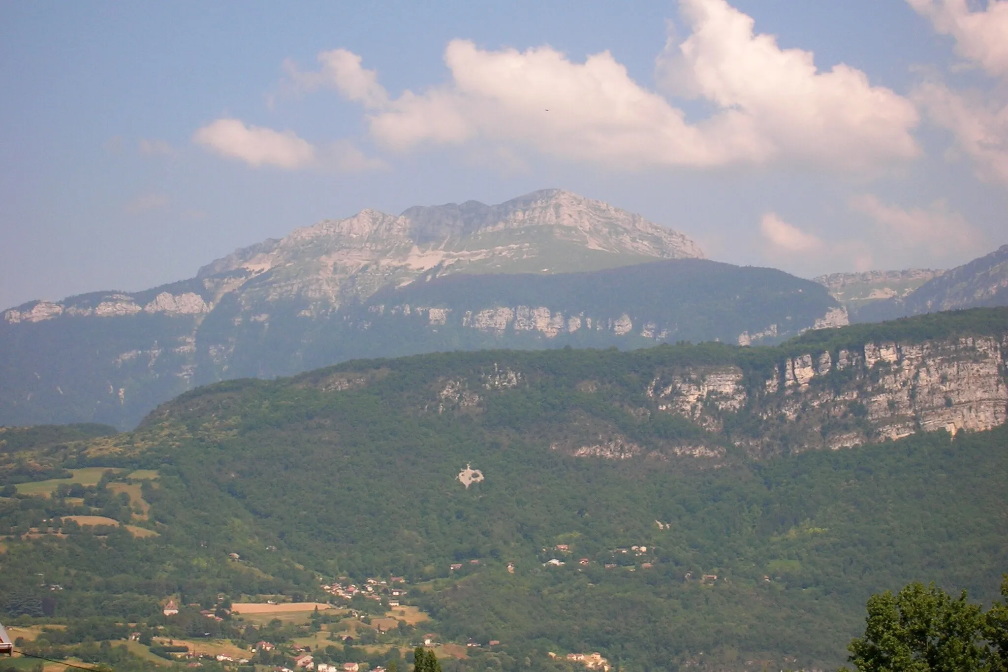
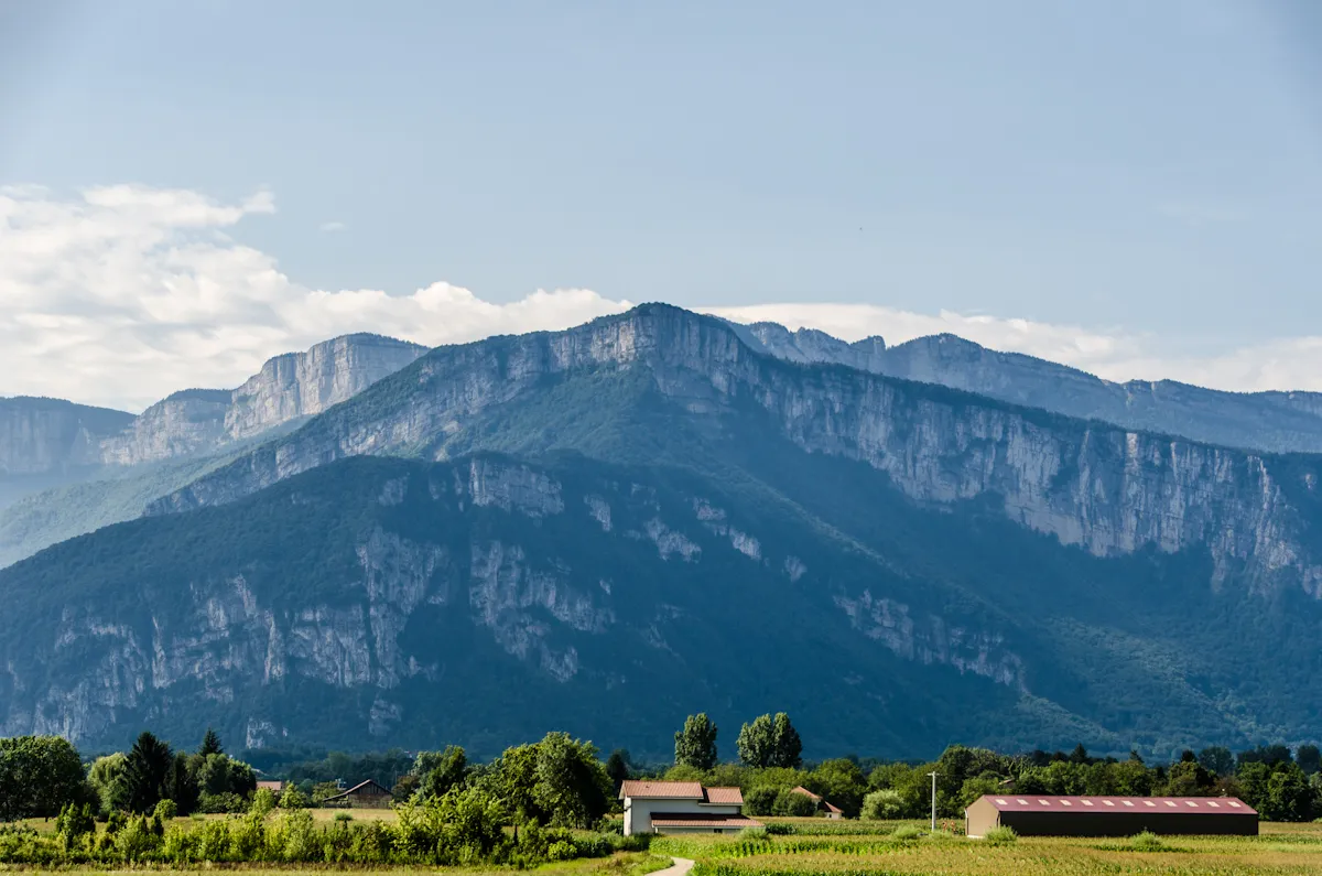
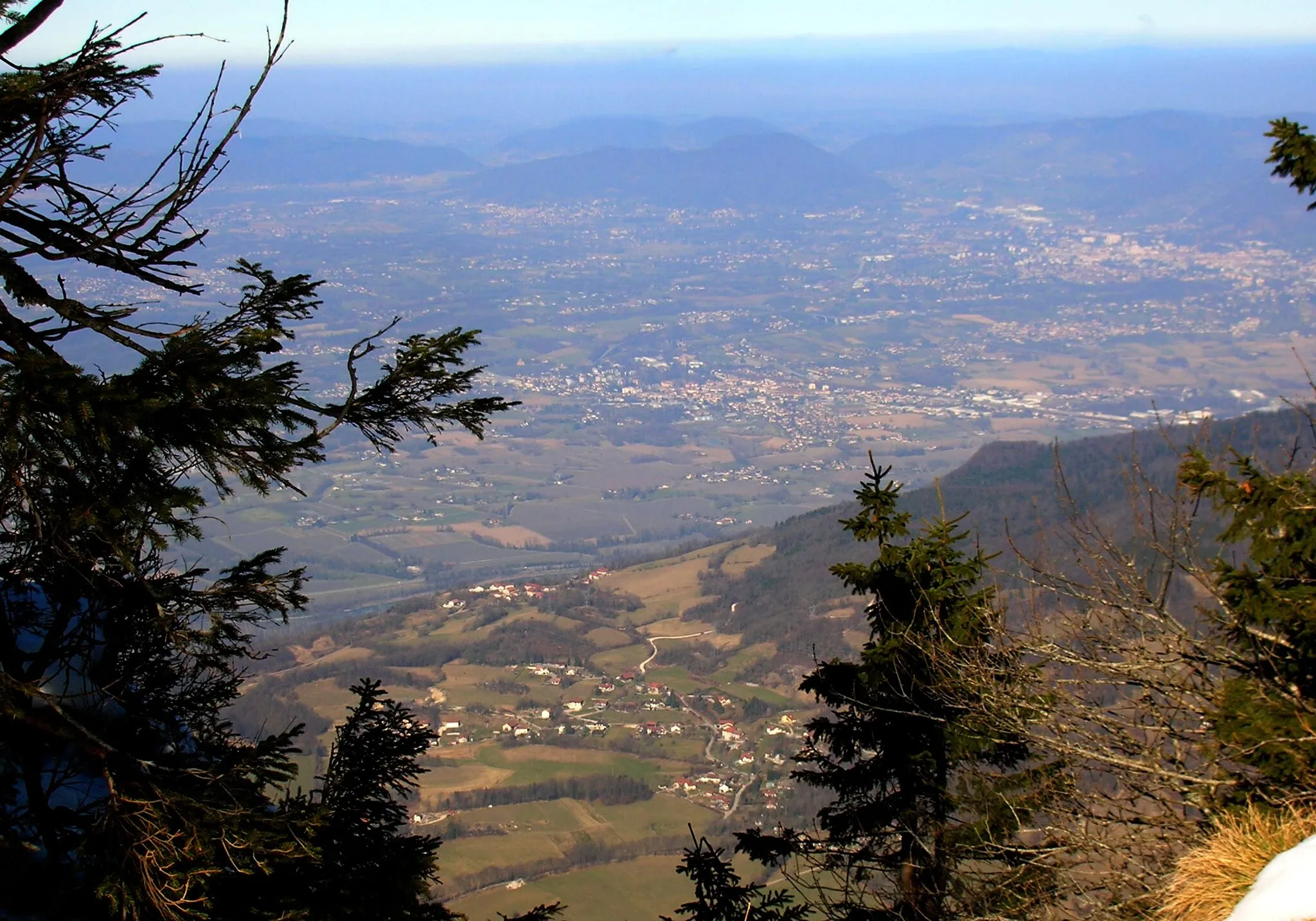
Col de Châtain683 mMountain PassConquer the legendary Col de Châtain, known for its challenging ascent and breathtaking views at the top.
30 km
30 km
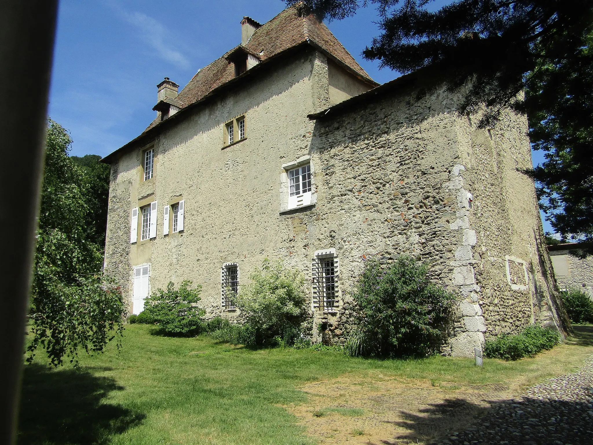
BrézinsVillageExplore the village of Brézins and immerse yourself in its rich history and cultural heritage.
42 km
42 km
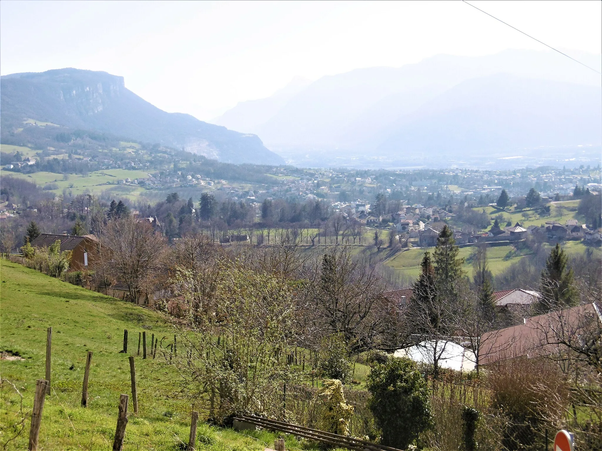
Point de vue sur MoulinViewpointMarvel at the panoramic views of Moulin from a stunning viewpoint along the route.
45 km
45 km
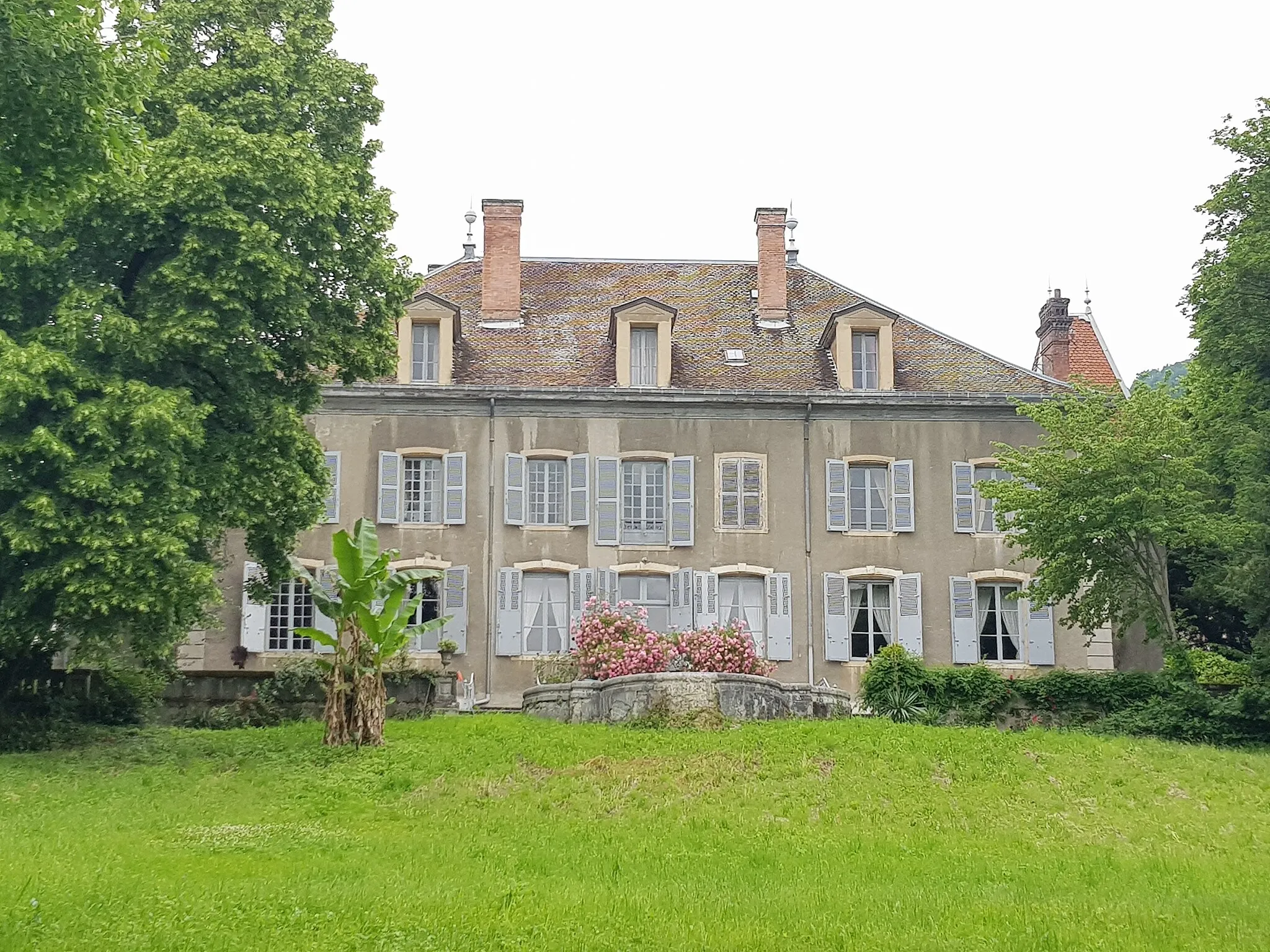
ChampierVillageTake a break in Champier and savor the local delicacies offered by its charming cafes and restaurants.
58 km
58 km
ChâteauvilainVillageDiscover the architectural marvels of Châteauvilain and admire its medieval charm.
81 km
81 km
CharavinesVillageVisit the beautiful lakeside village of Charavines and enjoy a leisurely stroll along its scenic promenade.
82 km
82 km
Mont Follet773 mPeakExperience the thrill of the Mont Follet descent as you navigate its winding roads and breathtaking landscapes.
98 km
98 km
MoiransVillageReturn to the starting point in Moirans and reflect on the incredible journey you've just completed.
98 km
98 km
Finish: Moirans Village centerMoirans: Conquer the famous Col du Granier and enjoy diverse cycling routes in Moirans.
Cycling routes nearby: