Gravel Cycling from Moûtiers to Les Avanchers-Valmorel
A gravel cycling route starting from Moutiers
Experience the beauty of Les Avanchers-Valmorel on this gravel cycling route
Map
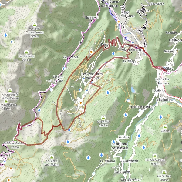
This gravel cycling route takes you from Moûtiers to Les Avanchers-Valmorel, showcasing the stunning landscapes of the Rhône-Alpes region of France. With a total ascent of 2409 meters and a distance of 56 kilometers, this route offers a challenging yet rewarding experience for gravel enthusiasts. The route features highlights such as #MYSFL, Col de la Madeleine, Gelaz, Celliers, and Salins-les-Thermes.
gravel
56 km
2409 m
Tough
Route profile
Highlights on the route
0 km
0 km
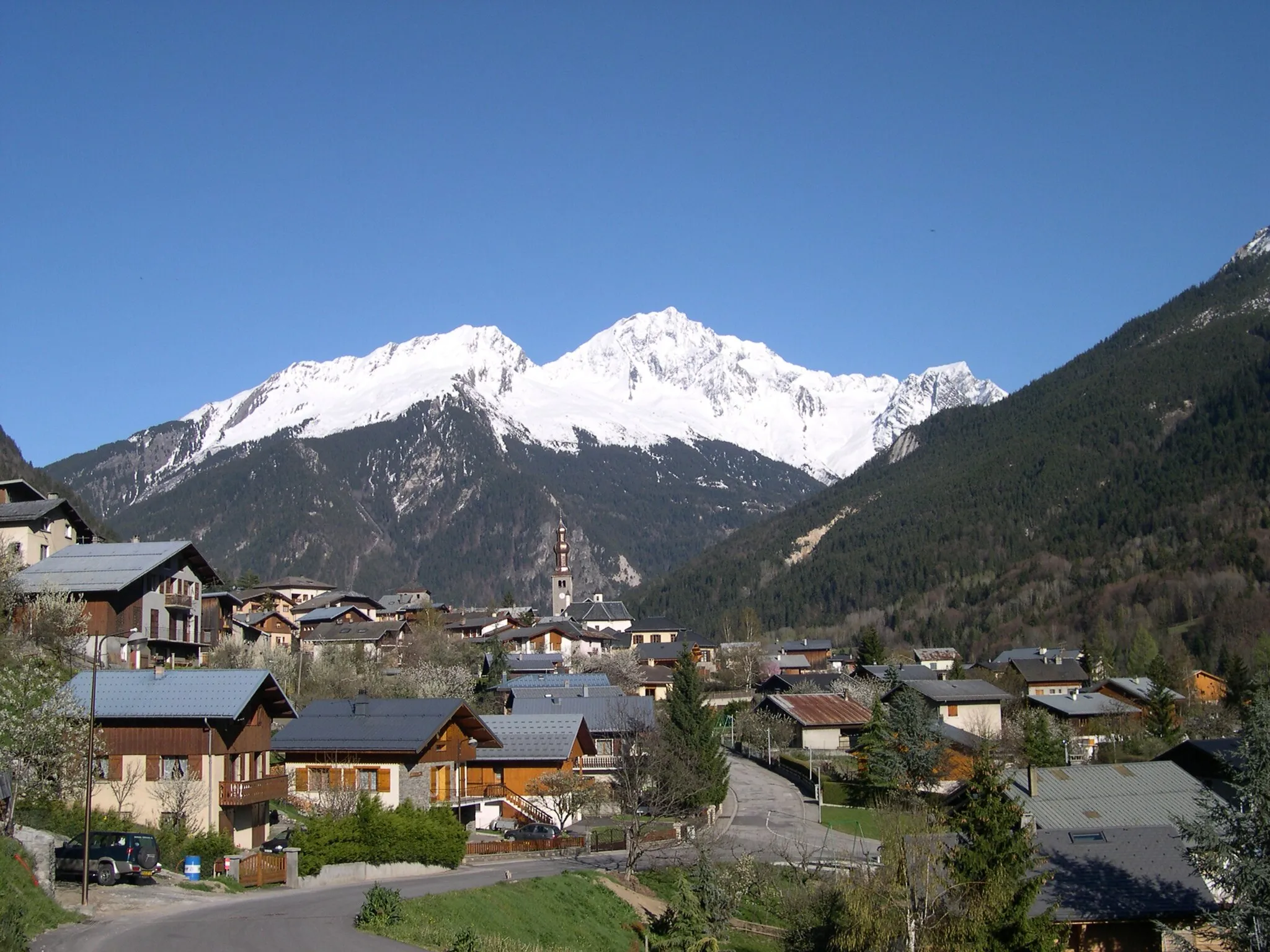
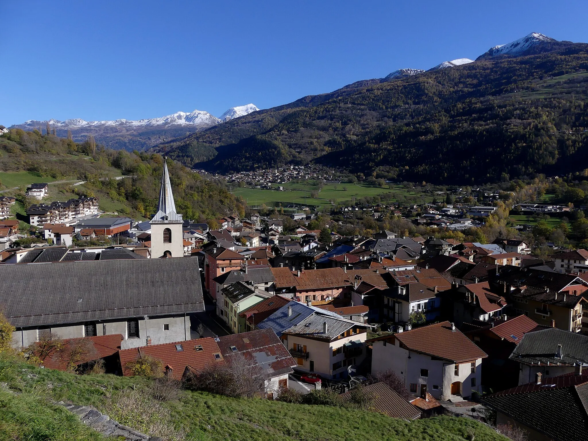
Start: Moûtiers Village centerMoûtiers: Cycling Gateway to the Alps in Rhône-Alpes
Moûtiers is a town situated in the Rhône-Alpes region of France. From the point of view of a road and gravel cyclist, Moûtiers is surrounded by stunning mountain scenery, offering incredible cycling routes. One noteworthy spot for cyclists in the area is the Col de la Madeleine, a legendary climb often featured in cycling races. With its proximity to famous climbs and breathtaking landscapes, Moûtiers is a cycling paradise, perfect for avid cyclists looking for challenging rides.10 km
10 km
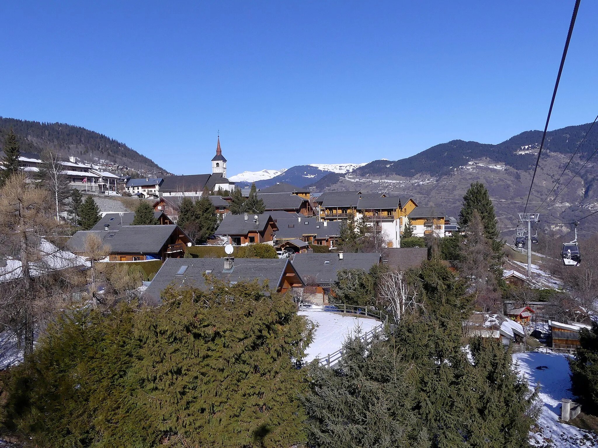
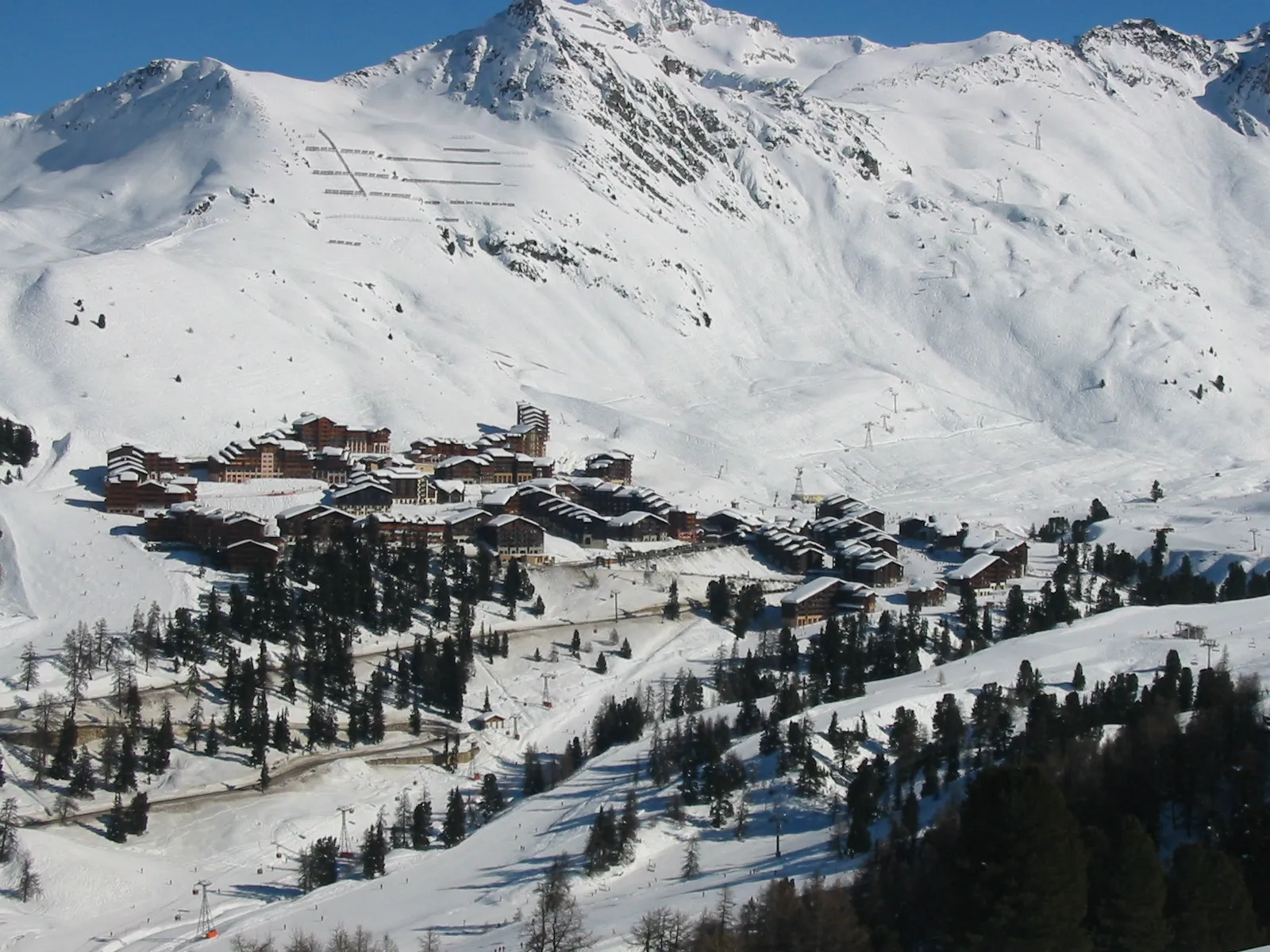
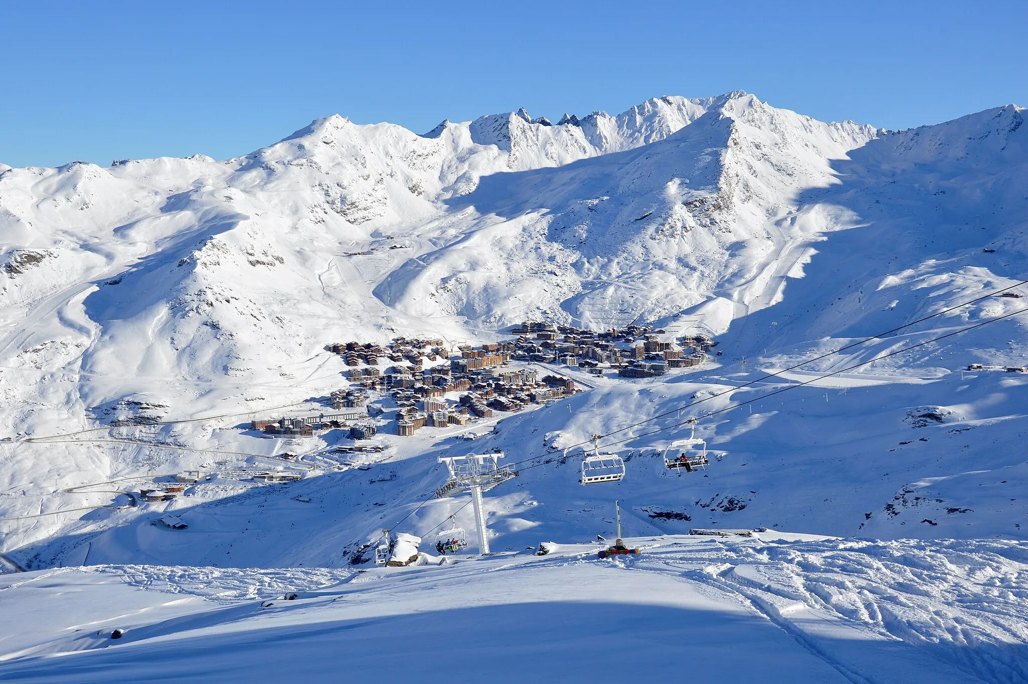
Les Avanchers-ValmorelVillageLes Avanchers-Valmorel is a charming village known for its picturesque scenery.
22 km
22 km
#MYSFLAttraction#MYSFL offers fantastic views of the surrounding mountains.
24 km
24 km
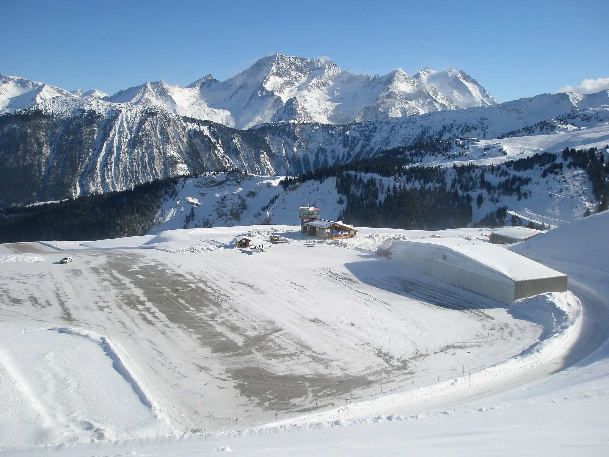
Col de la Madeleine1993 mMountain PassCol de la Madeleine is a popular climb among cyclists, offering breathtaking views at the summit.
36 km
36 km
GelazViewpointGelaz is a small village known for its tranquil atmosphere.
38 km
38 km
CelliersVillageCelliers is a picturesque hamlet with stunning mountain views.
56 km
56 km
Salins-les-ThermesVillageSalins-les-Thermes is a charming town famous for its thermal baths.
56 km
56 km
Finish: Moûtiers Village centerMoûtiers: Cycling Gateway to the Alps in Rhône-Alpes
Cycling routes from Moutiers:
Feissons-sur-Isère Loop Scenic Ride to Col de la Madeleine Gravel Adventure through Villarlurin and Moûtiers Road Cycling Adventure from Moûtiers to Villarlurin Gelaz Gravel Adventure Scenic Road Cycling Route from Moûtiers to Albertville Gravel Cycling from Moûtiers to Les Avanchers-Valmorel Gravel Adventure to Saint-Rémy-de-Maurienne Col de la Madeleine Loop Hilly Gravel Ride from Moûtiers to Brides-les-Bains The Alpine Adventure
Cycling routes nearby: