Hidden Gems of Gravel Cycling
A gravel cycling route starting from Saint-Andre-le-Gaz
Discover hidden gems along this short gravel route
Map
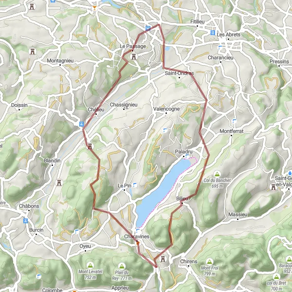
This compact gravel cycling route offers a taste of adventure in a shorter distance. With a total ascent of 924 meters and a distance of 41 kilometers, it is perfect for a quick and challenging ride. Starting near Saint-André-le-Gaz, the route takes you through scenic landscapes and provides opportunities to visit some hidden gems along the way.
gravel
41 km
924 m
Tough
Route profile
Highlights on the route
0 km
0 km
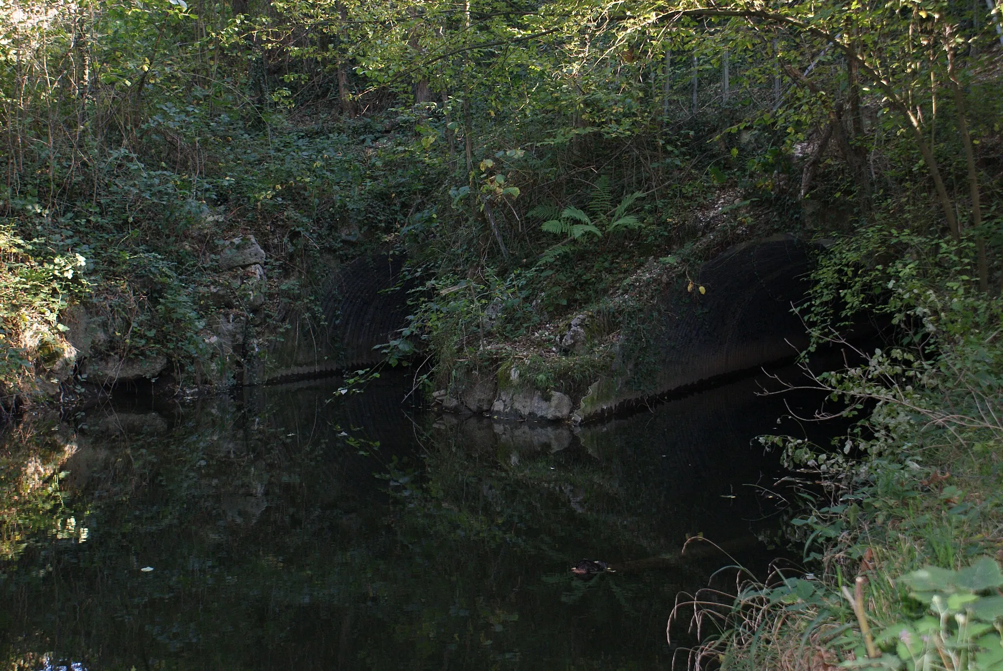
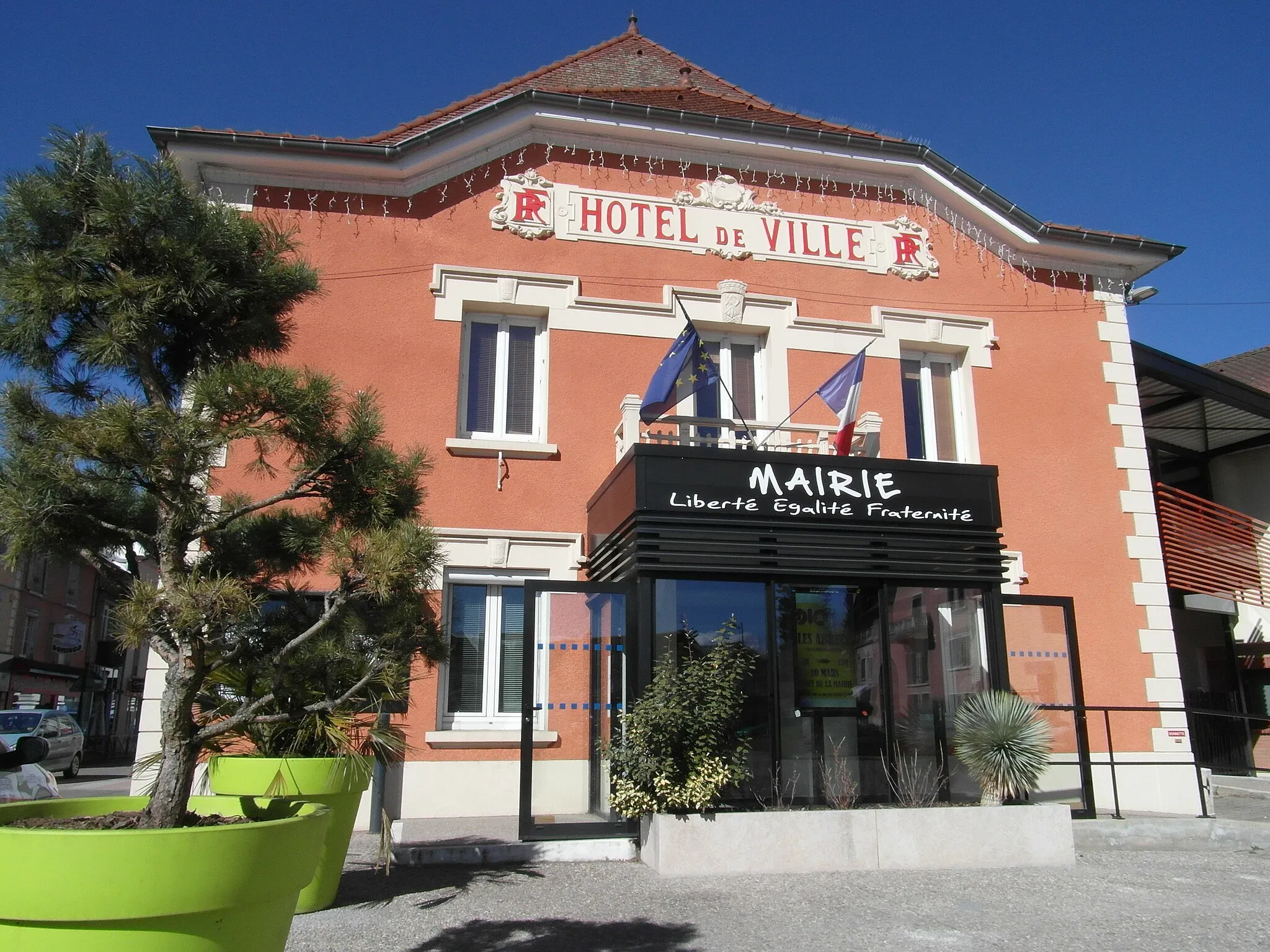
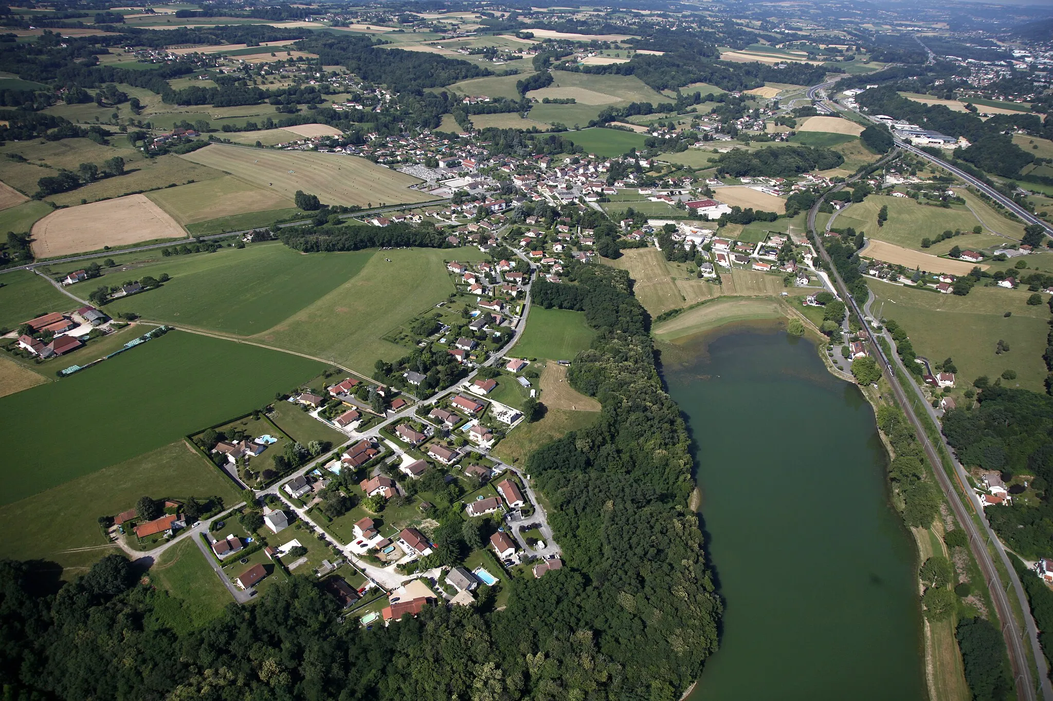
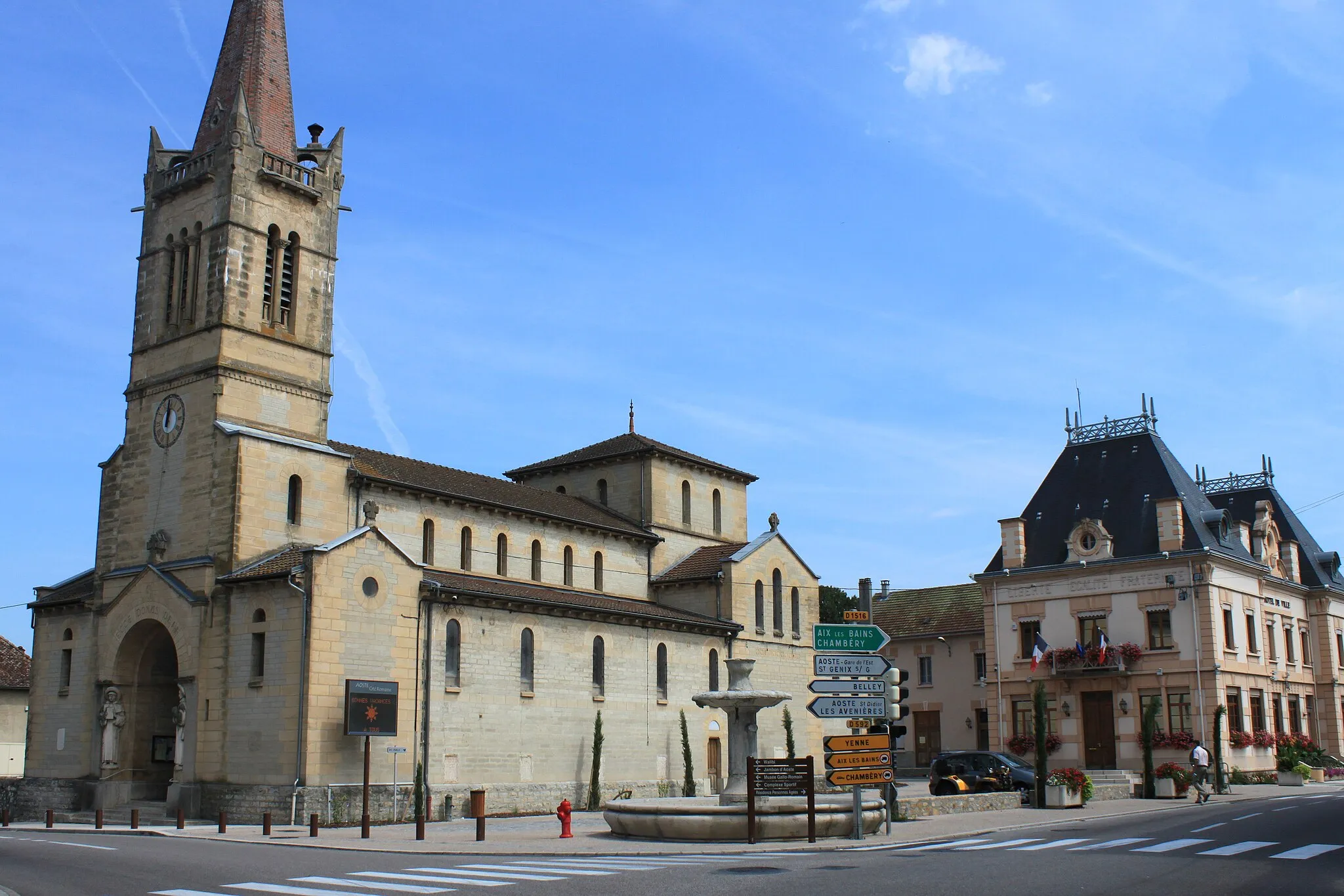
Start: Saint-André-le-Gaz Village centerSaint-André-le-Gaz: Cycling paradise with diverse landscapes
Saint-André-le-Gaz is a small locality in the Rhône-Alpes region of France. From a cyclist's perspective, it offers a mix of both road and gravel cycling options. The locality is surrounded by beautiful countryside and rolling hills, providing scenic routes for cyclists to explore. One of the well-known cycling spots nearby is the Col de la Biche, a challenging climb with stunning views at the top. Overall, Saint-André-le-Gaz is a great destination for cyclists looking for varied terrain and picturesque landscapes.11 km
11 km
Col du Banchet695 mMountain PassCol du Banchet: Challenge yourself with a climb to the top of Col du Banchet, and enjoy stunning views from the summit.
14 km
14 km
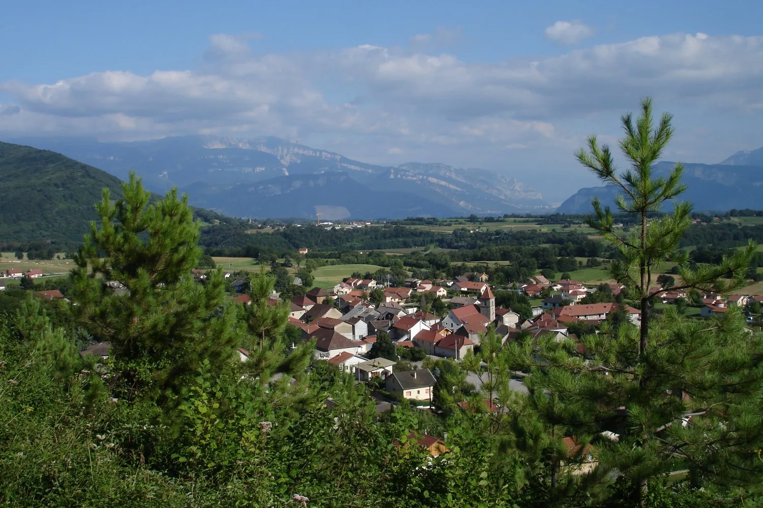
BilieuVillageBilieu: Visit the picturesque village of Bilieu, known for its beautiful church and traditional architecture.
21 km
21 km
Mont Follet773 mPeakMont Follet: Explore Mont Follet, a stunning hilltop with panoramic views of the surrounding countryside.
22 km
22 km
CharavinesVillageCharavines: Discover Charavines, a charming village located by a beautiful lake, perfect for a refreshing stop.
33 km
33 km
ChélieuVillageChélieu: Visit Chélieu, a small village known for its historic buildings and traditional character.
38 km
38 km
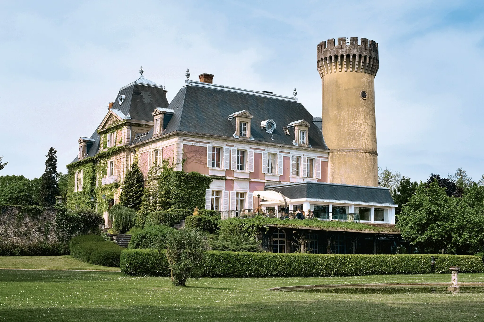
Château du PassageCastleChâteau du Passage: Marvel at the remains of Château du Passage, a castle with a fascinating history and stunning views.
41 km
41 km
Finish: Saint-André-le-Gaz Village centerSaint-André-le-Gaz: Cycling paradise with diverse landscapes
Cycling routes from Saint-Andre-le-Gaz:
Cycling routes nearby: