The Ultimate Beaujolais Challenge
A road cycling route starting from Saint-Etienne-des-Oullieres
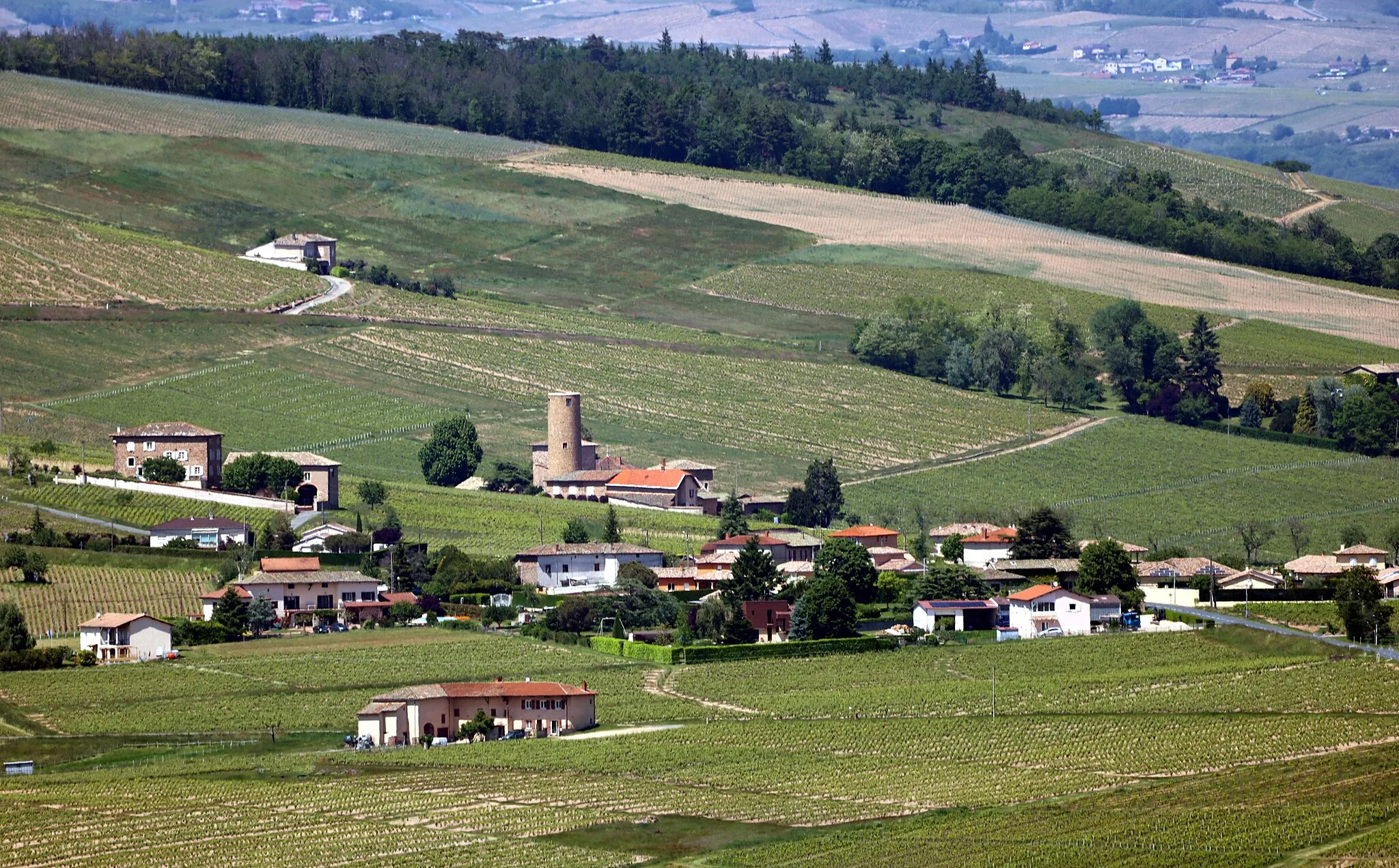
Embark on an epic cycling adventure through the stunning Beaujolais region.
Map
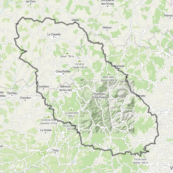
Get ready for the ultimate cycling challenge with this 152-kilometer road cycling route starting near Saint-Étienne-des-Oullières. This route offers a perfect balance of tough climbs, exhilarating descents, and breathtaking views. With a challenging ascent of 2999 meters, this is a journey only for the most adventurous cyclists. Ride through charming villages, beautiful vineyards, and picturesque countryside as you soak in the beauty of Beaujolais. Visit historic landmarks, conquer legendary cols, and create memories that will last a lifetime.
road
152 km
2999 m
Savage
Route profile
Highlights on the route
0 km
0 km
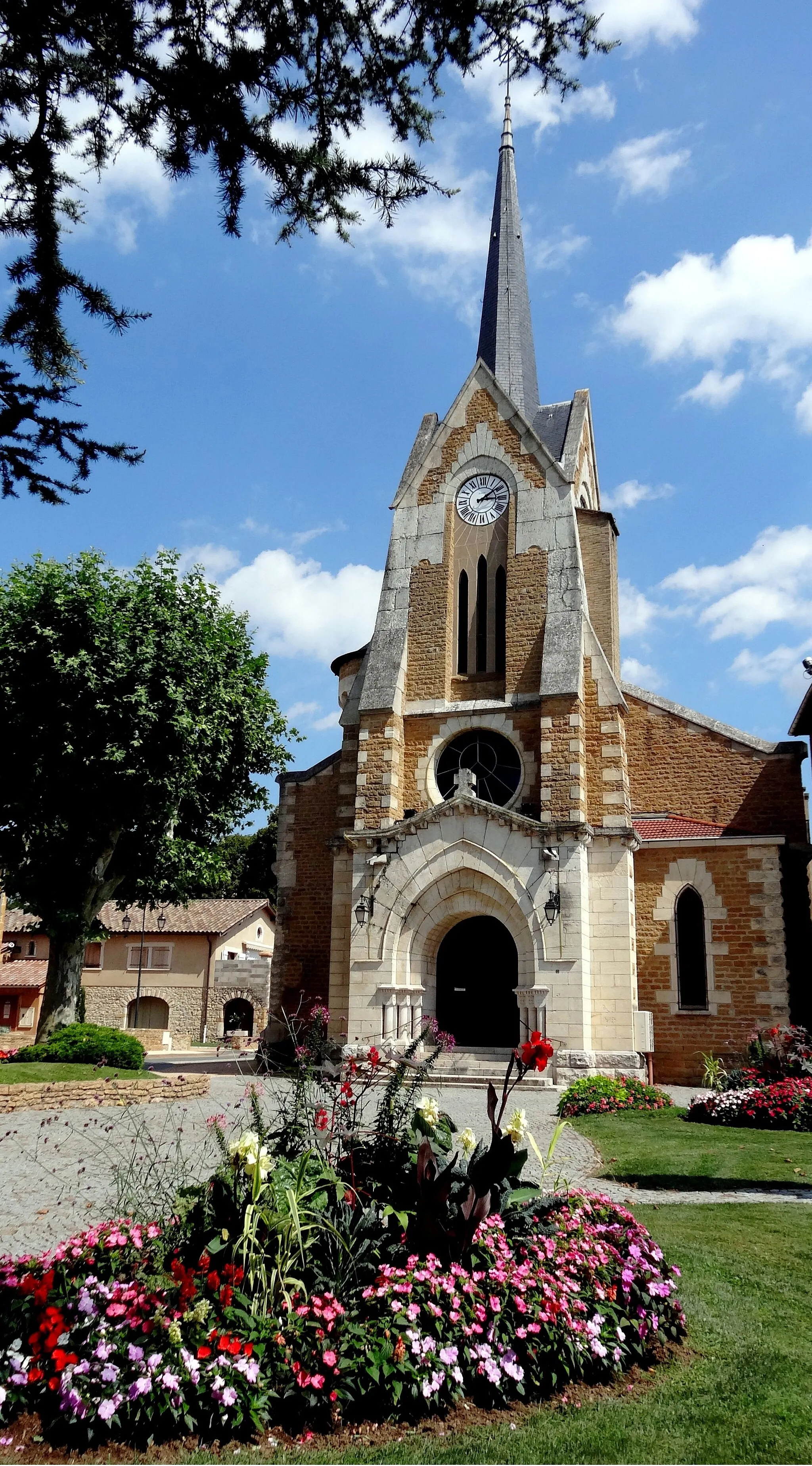
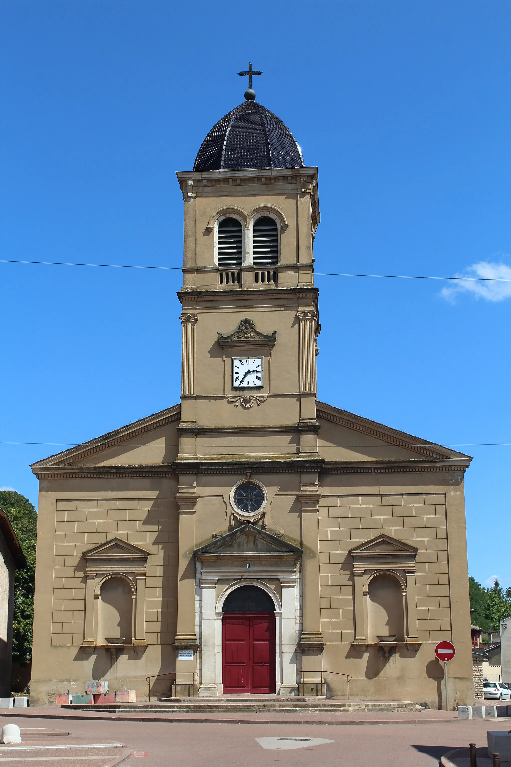
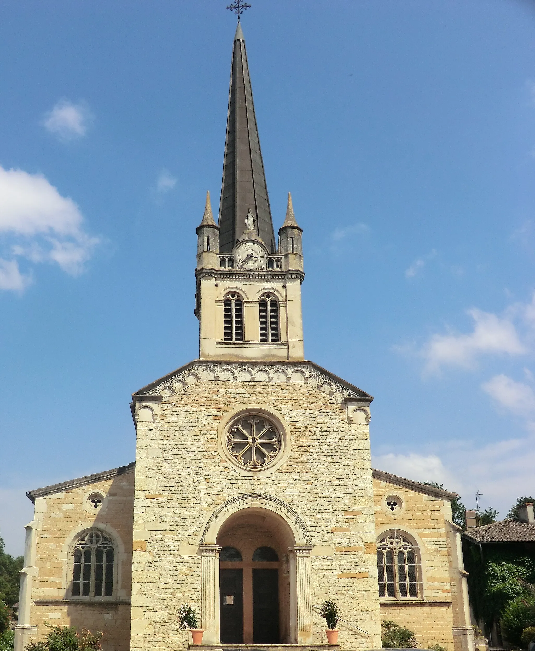
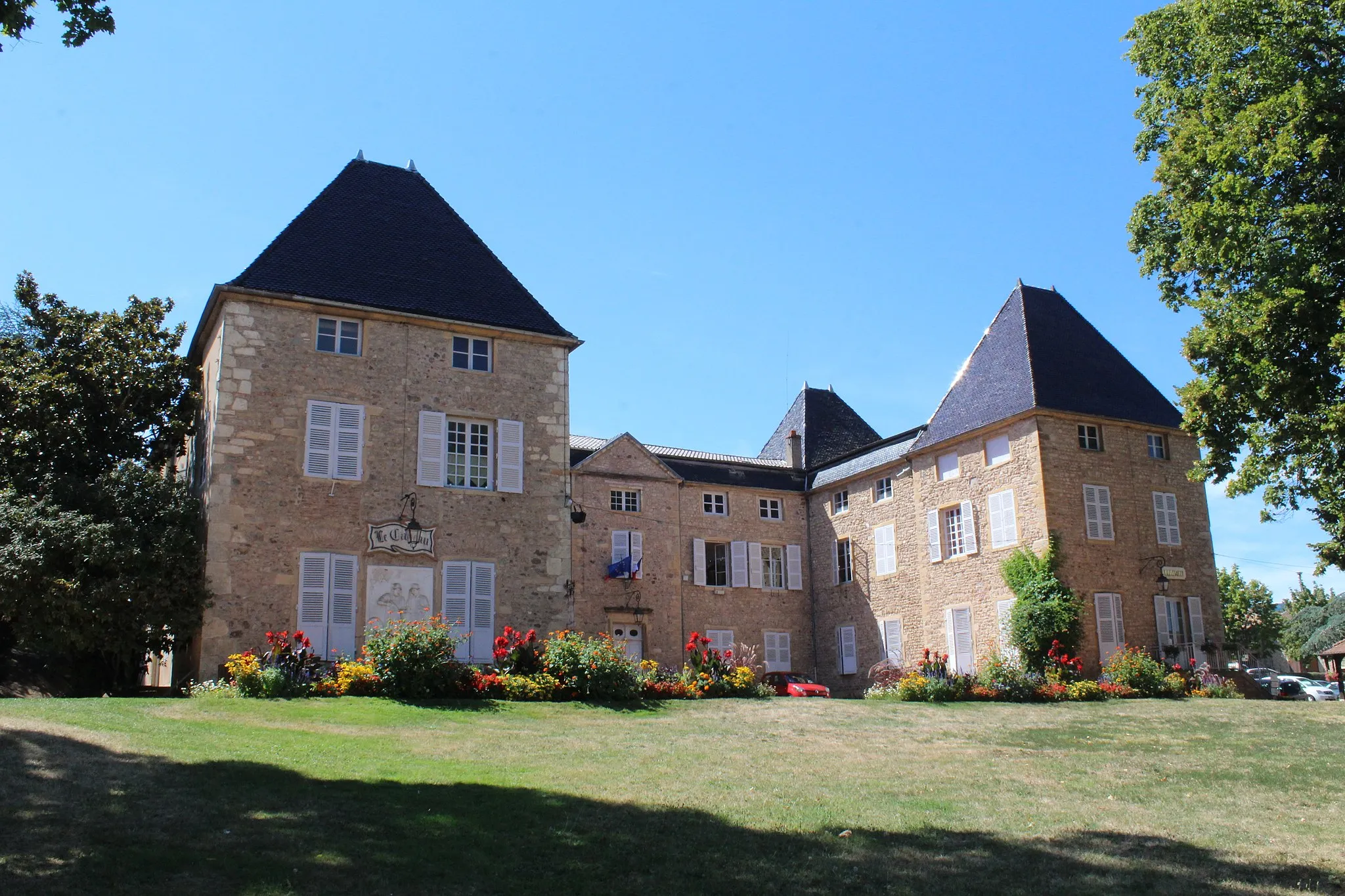
Start: Saint-Étienne-des-Oullières Village centerSaint-Étienne-des-Oullières: A cyclist's paradise in the heart of Rhône-Alpes.
Saint-Étienne-des-Oullières is a charming town located in the Rhône-Alpes region of France. From a cyclist's perspective, it offers a variety of routes that showcase the beautiful countryside and vineyards of the area. The roads are well-maintained and there are many gravel paths for those seeking some off-road adventure. Additionally, the famous climb of Mont Brouilly is nearby, attracting cyclists from all over the world. Overall, Saint-Étienne-des-Oullières is a great destination for road and gravel cyclists, with stunning scenery and challenging climbs.12 km
12 km
Col de Saint-Bonnet646 mMountain PassClimb the challenging Col de Saint-Bonnet and enjoy panoramic views from the summit.
15 km
15 km
Saint-Cyr-le-ChatouxVillageTake a detour to Saint-Cyr-le-Chatoux and discover its hidden charm.
28 km
28 km
Col de la Cambuse708 mMountain PassTest your climbing skills on the legendary Col de la Cambuse.
36 km
36 km
Saint-Vincent-de-ReinsVillageEnjoy the scenic beauty of Saint-Vincent-de-Reins, a charming village on your way.
52 km
52 km
Le Calvaire567 mPeakStop by Le Calvaire and admire the panoramic views from this stunning viewpoint.
53 km
53 km
ArcingesVillageVisit Arcinges, a quaint village known for its traditional architecture.
65 km
65 km
ChâteauneufVillageExplore the medieval village of Châteauneuf and its historic landmarks.
85 km
85 km
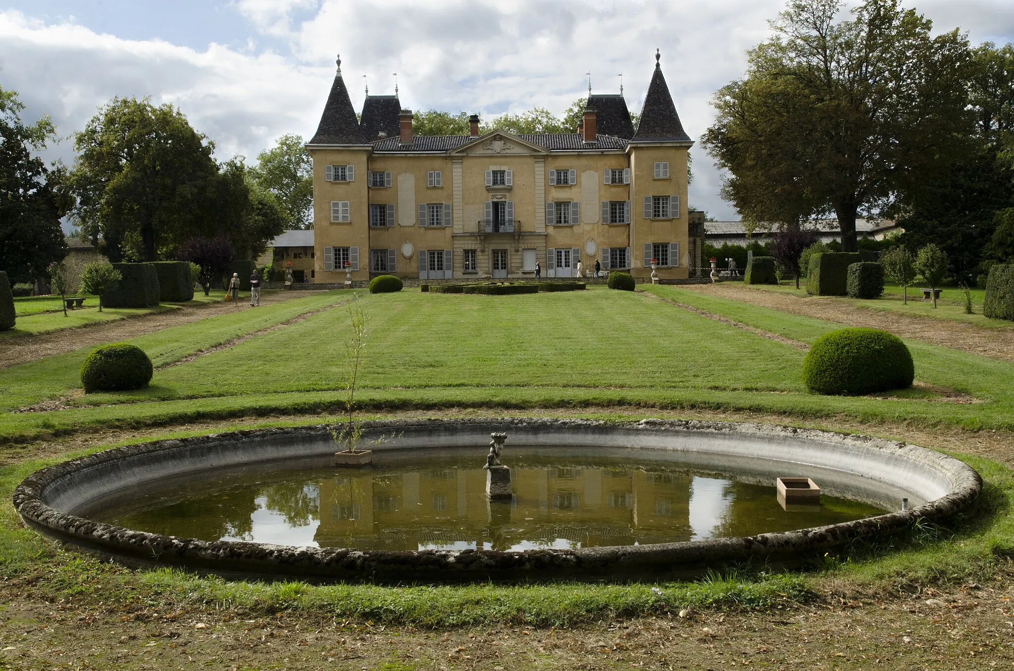
Château d'OyéCastleAdmire the scenic beauty of Château d'Oyé, a magnificent castle in the heart of Beaujolais.
104 km
104 km
GiblesVillageChallenge yourself on the steep slopes of Gibles and enjoy breathtaking views.
112 km
112 km
AigueperseVillageDiscover the charm of Aigueperse and its unique architectural style.
128 km
128 km
Col de Crie624 mMountain PassReach the summit of Col de Crie and enjoy panoramic views of the surrounding countryside.
147 km
147 km
Mont Brouilly484 mPeakConquer the challenging Mont Brouilly and be rewarded with incredible views.
152 km
152 km
Saint-Étienne-des-OullièresVillageFinish your epic journey in Saint-Étienne-des-Oullières and celebrate your achievement.
152 km
152 km
Finish: Saint-Étienne-des-Oullières Village centerSaint-Étienne-des-Oullières: A cyclist's paradise in the heart of Rhône-Alpes.
Cycling routes from Saint-Etienne-des-Oullieres:
Discover the Gravel Roads of Odenas Beaujolais Vineyards Ride The Beaujolais Vineyards Loop The Ultimate Beaujolais Challenge Gravel Adventure in Beaujolais Mountain Passes and Châteaux Ride The Beaujolais Challenge Mountains and Vineyards Loop Backroads Gravel Adventure The Gravel Gems of Beaujolais
Cycling routes nearby: