Gravel Adventure to Château de Juis
A gravel cycling route starting from Saint-Trivier-sur-Moignans
Explore the historic Château de Juis
Map
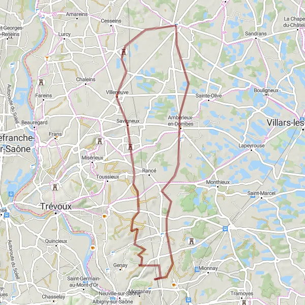
Embark on a scenic gravel ride through Ambérieux-en-Dombes to discover the impressive Château de Juis. The 52 km route with 284 meters of ascent offers a moderate challenge suitable for gravel enthusiasts. Immerse yourself in the history and natural beauty of the region.
gravel
52 km
284 m
Tough
Route profile
Highlights on the route
0 km
0 km
Start: Saint-Trivier-sur-Moignans Village centerSaint-Trivier-sur-Moignans: Scenic road and gravel cycling in the Rhône-Alpes region of France.
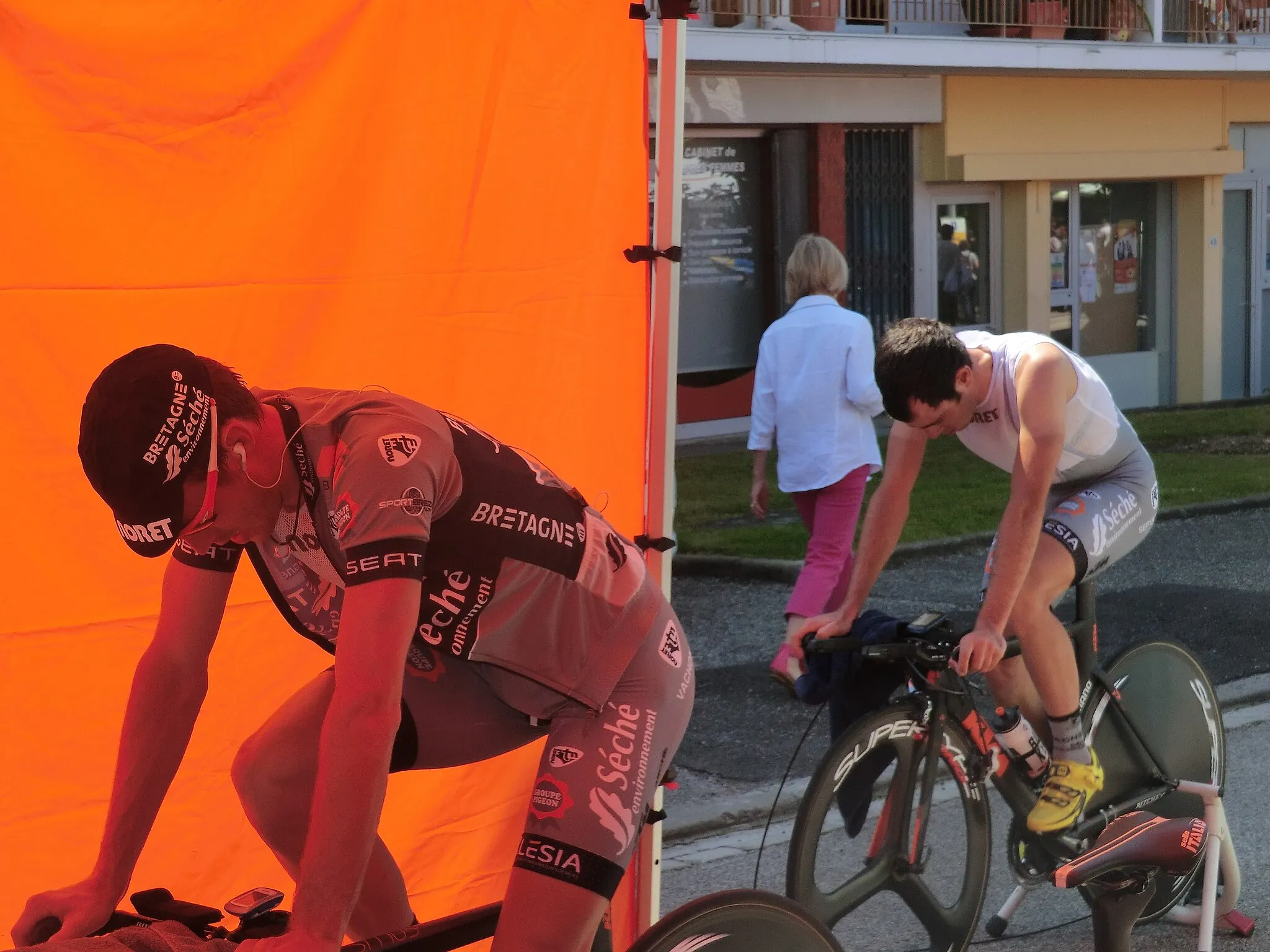
Saint-Trivier-sur-Moignans is a picturesque locality situated in the Rhône-Alpes region of France. From a cyclist's perspective, it offers peaceful roads and scenic routes perfect for road and gravel cycling. The terrain is mostly flat, making it ideal for leisurely rides and exploration of the surrounding countryside. A popular cycling spot nearby is the climb to Mont Myon, known for its stunning vistas and challenging gradient. Whether you're a beginner or an experienced cyclist, Saint-Trivier-sur-Moignans provides an enjoyable cycling experience for all.8 km
8 km
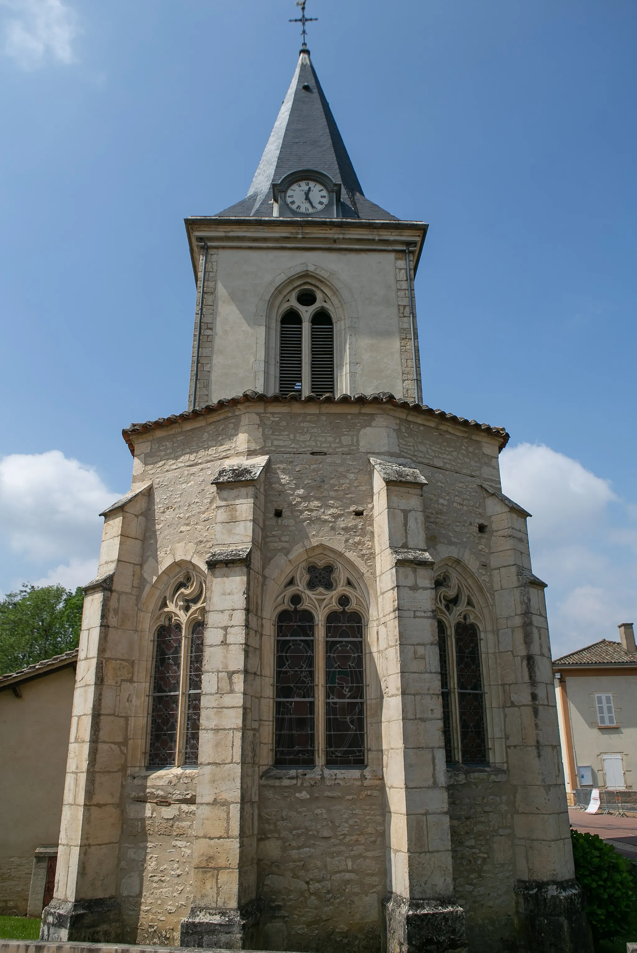
Ambérieux-en-DombesVillageTake a detour to Ambérieux-en-Dombes and wander around its charming streets.
14 km
14 km
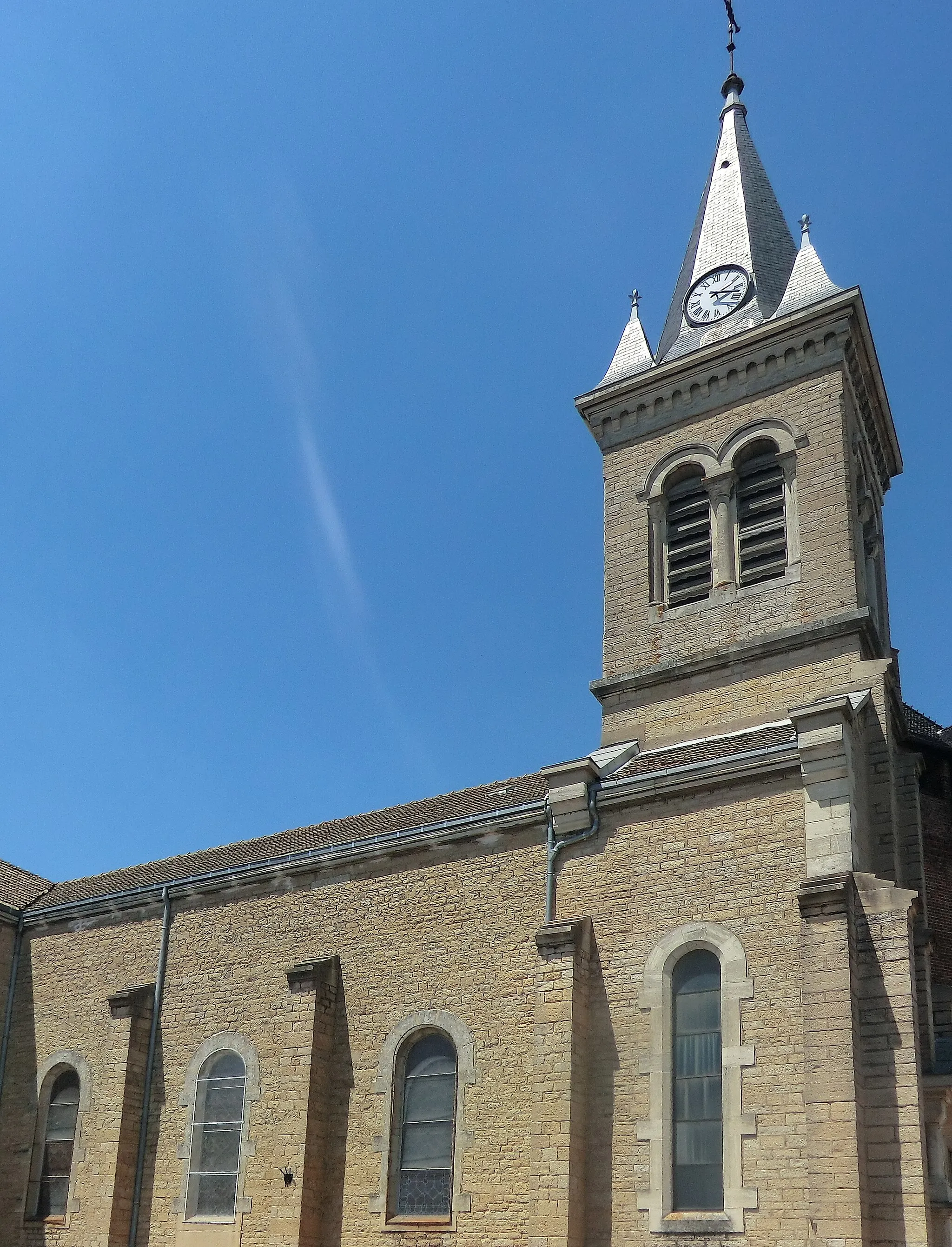
Saint-Jean-de-ThurigneuxVillagePass through Saint-Jean-de-Thurigneux and admire its quaint countryside scenery.
38 km
38 km
Château de JuisCastleDiscover the impressive Château de Juis, a historic fortress dating back to the 13th century.
47 km
47 km
Maison forte de VillonCastleExplore the Maison forte de Villon, a well-preserved medieval stronghold.
52 km
52 km
Finish: Saint-Trivier-sur-Moignans Village centerSaint-Trivier-sur-Moignans: Scenic road and gravel cycling in the Rhône-Alpes region of France.
Cycling routes from Saint-Trivier-sur-Moignans:
Cycling routes nearby: