Sorbiers to Col de la République
A road cycling route starting from Sorbiers
Take on the challenging ascent to Col de la République on this road cycling route
Map
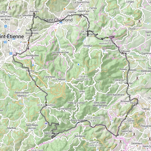
This 111 km road cycling route starts in Sorbiers and takes you to the Col de la République, renowned for its challenging ascent. It offers beautiful landscapes and a difficulty rating of 5. It's best suited for experienced cyclists seeking a tough challenge.
road
111 km
2013 m
Savage
Route profile
Highlights on the route
0 km
0 km
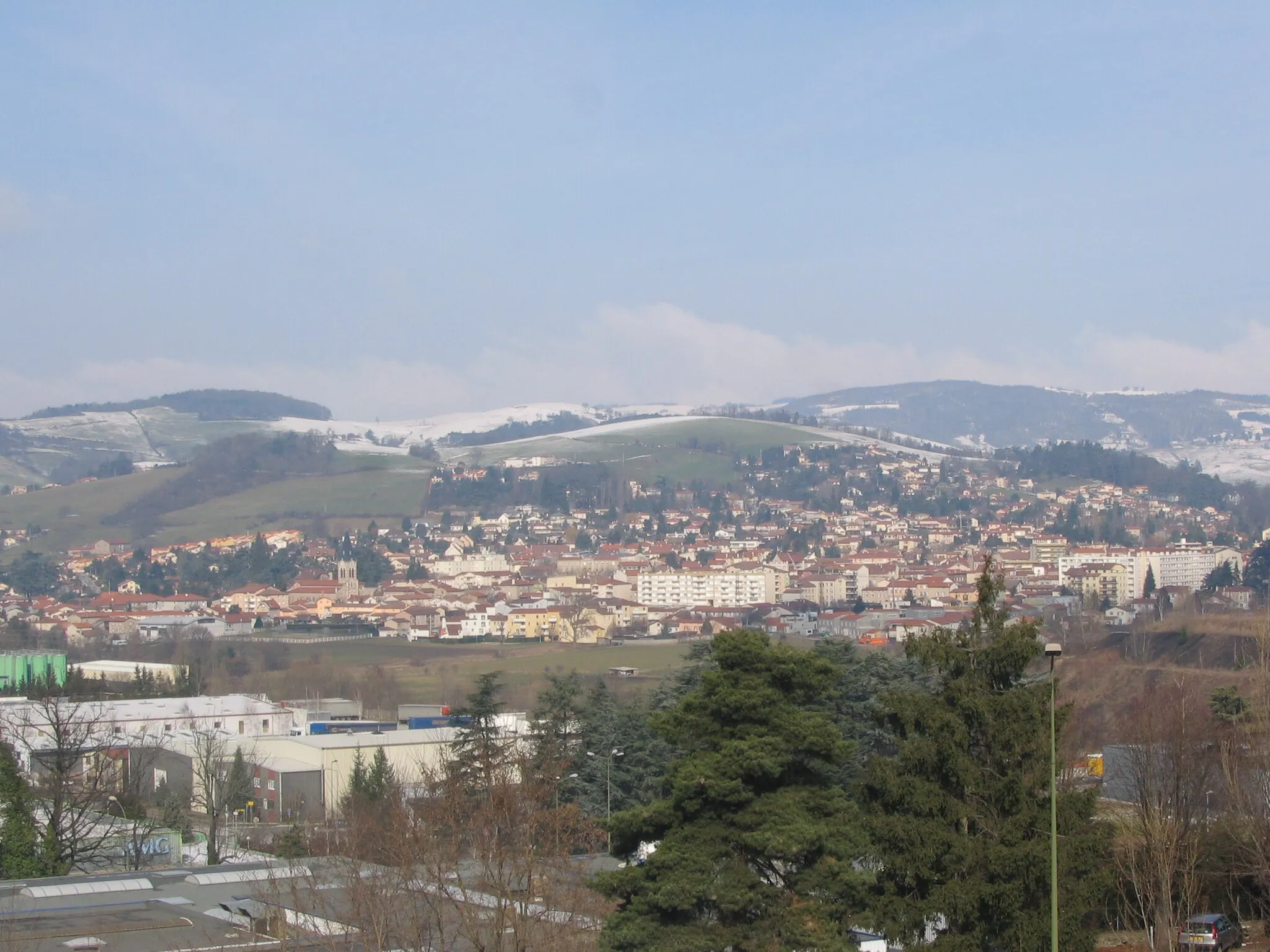
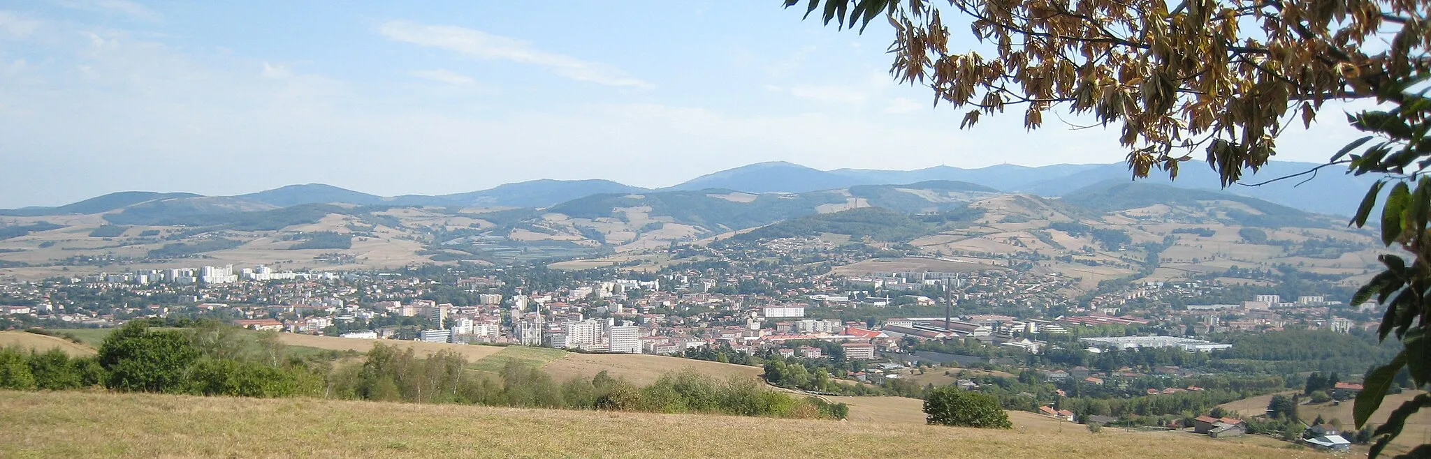
Start: Sorbiers Village centerSorbiers: Conquer the legendary Mont du Chat in Rhône-Alpes.
Sorbiers is a town located in the Rhône-Alpes region of France. From a cyclist's perspective, the area offers a mix of flat roads and challenging climbs, making it suitable for all levels of cyclists. The town is surrounded by beautiful countryside, showcasing the stunning landscapes of the Rhône-Alpes region. Nearby, cyclists can tackle the iconic climb of Mont du Chat, which is known for its demanding gradients and breathtaking views. Sorbiers is a must-visit destination for cyclists looking to challenge themselves on legendary climbs.6 km
6 km
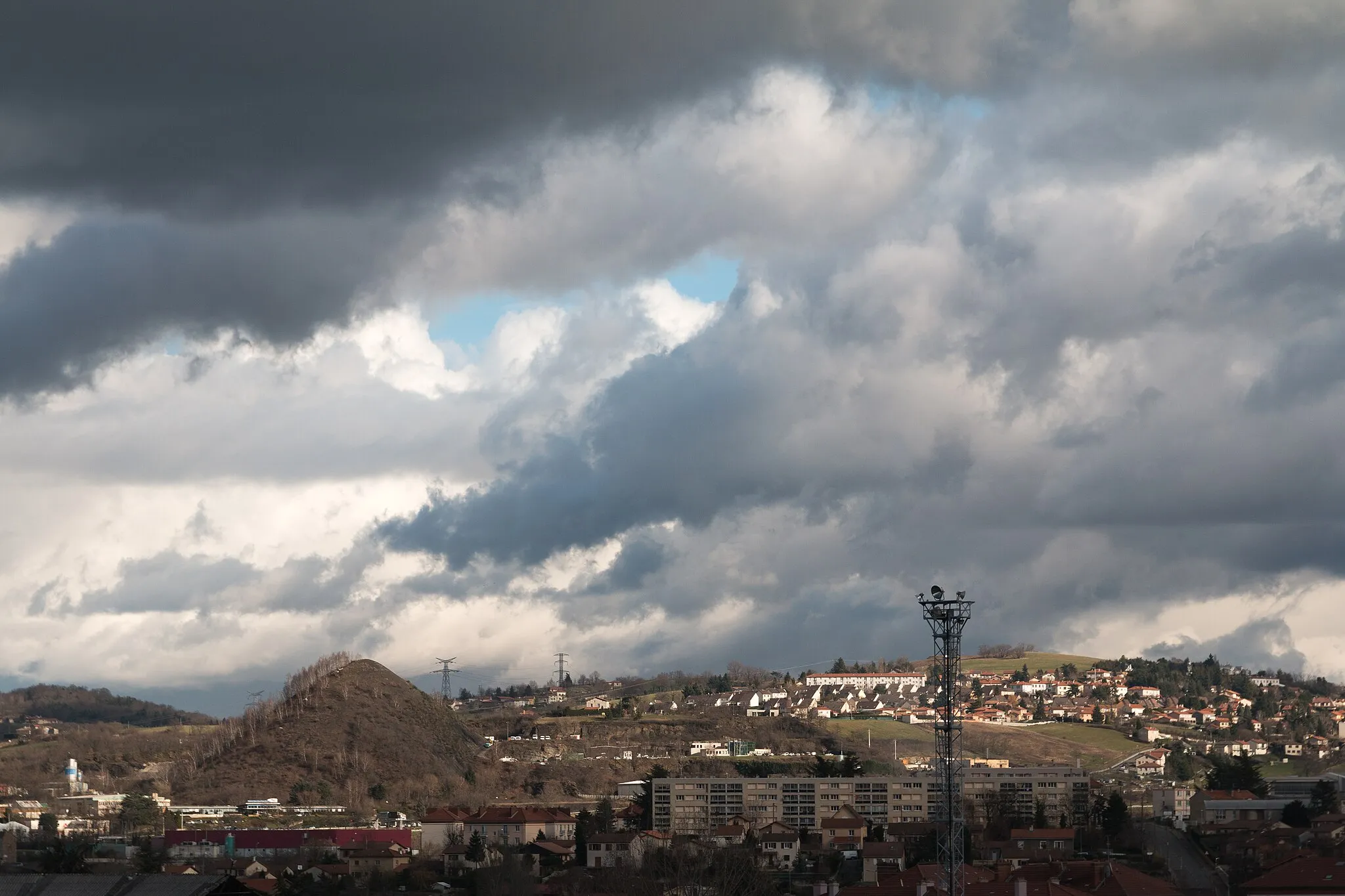
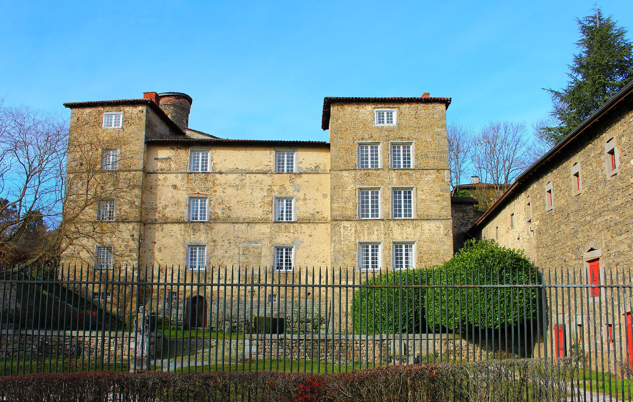
Saint-ChamondTownBefore embarking on the famous climb, explore the city of Saint-Chamond and discover its rich history and vibrant atmosphere.
17 km
17 km
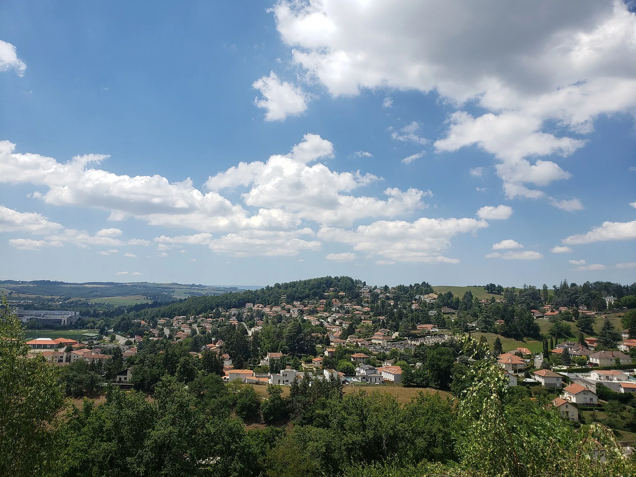
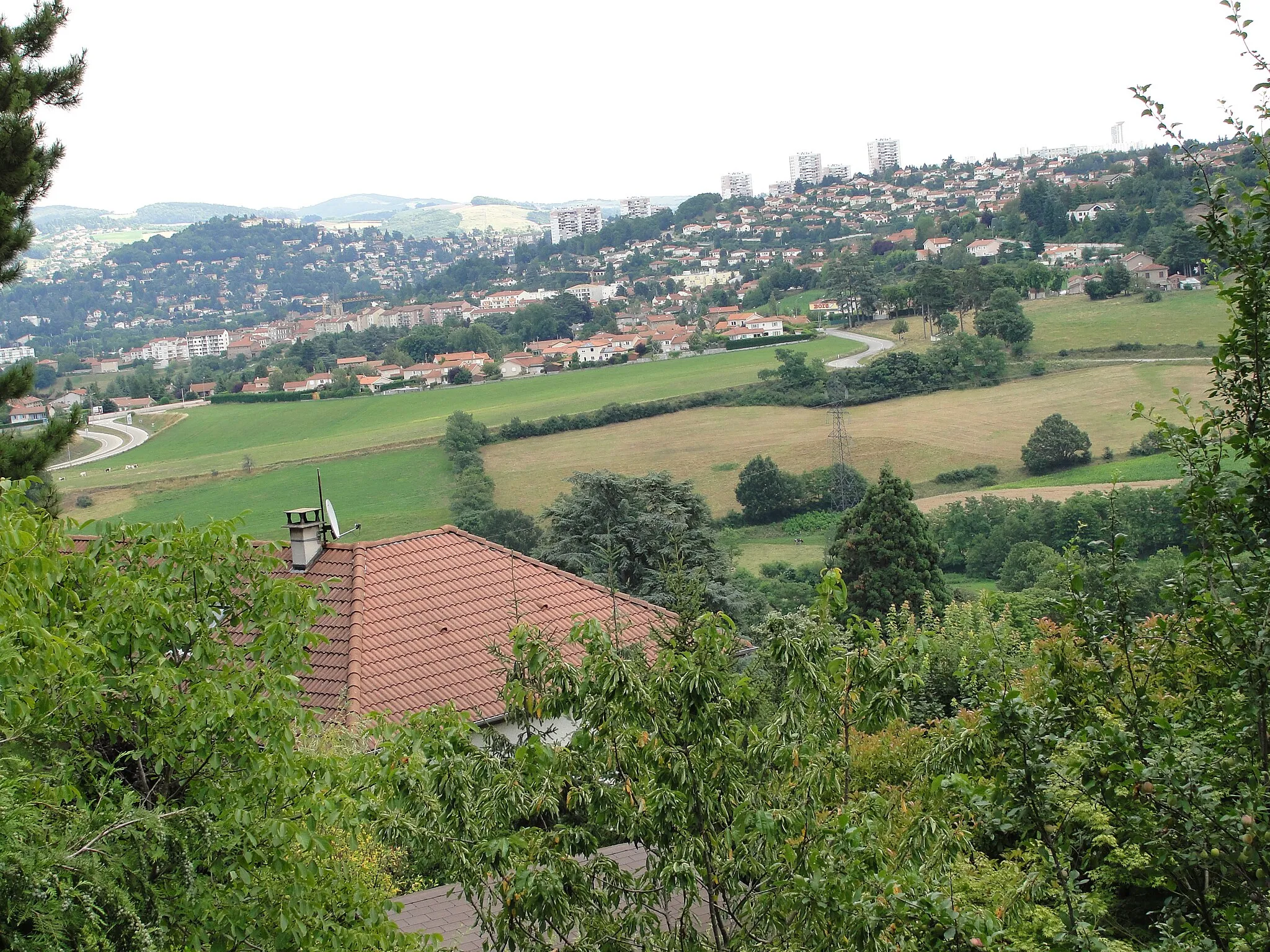
La Terrasse-sur-DorlayVillageAt a distance of 17 km, you will reach La Terrasse-sur-Dorlay, a charming village known for its beautiful surroundings and scenic views.
25 km
25 km
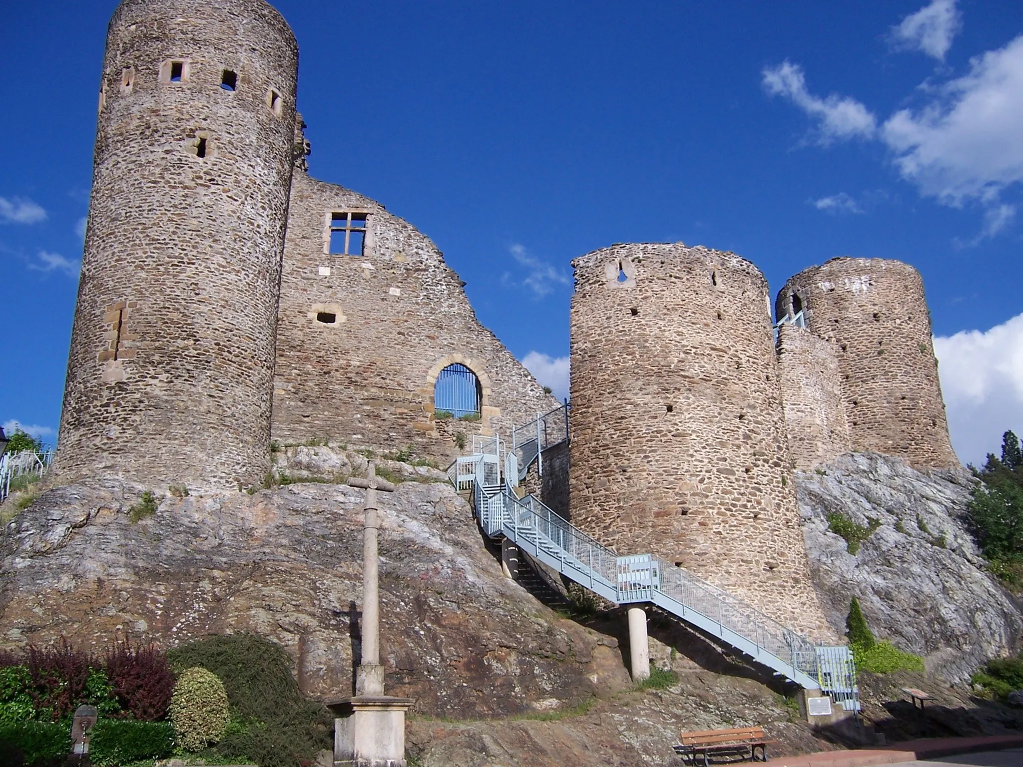
Croix-de-Montvieux811 mMountain PassAfter 25 km, you will come across the Croix-de-Montvieux, a historical site offering breathtaking views of the surrounding area.
32 km
32 km
PélussinVillageContinue on to Pélussin and challenge yourself on the renowned climb towards the Col de la République.
49 km
49 km
Col du Fayet611 mMountain PassAt 49 km, you will reach the Col du Fayet, a popular spot for cyclists seeking a challenging ascent and stunning views.
64 km
64 km
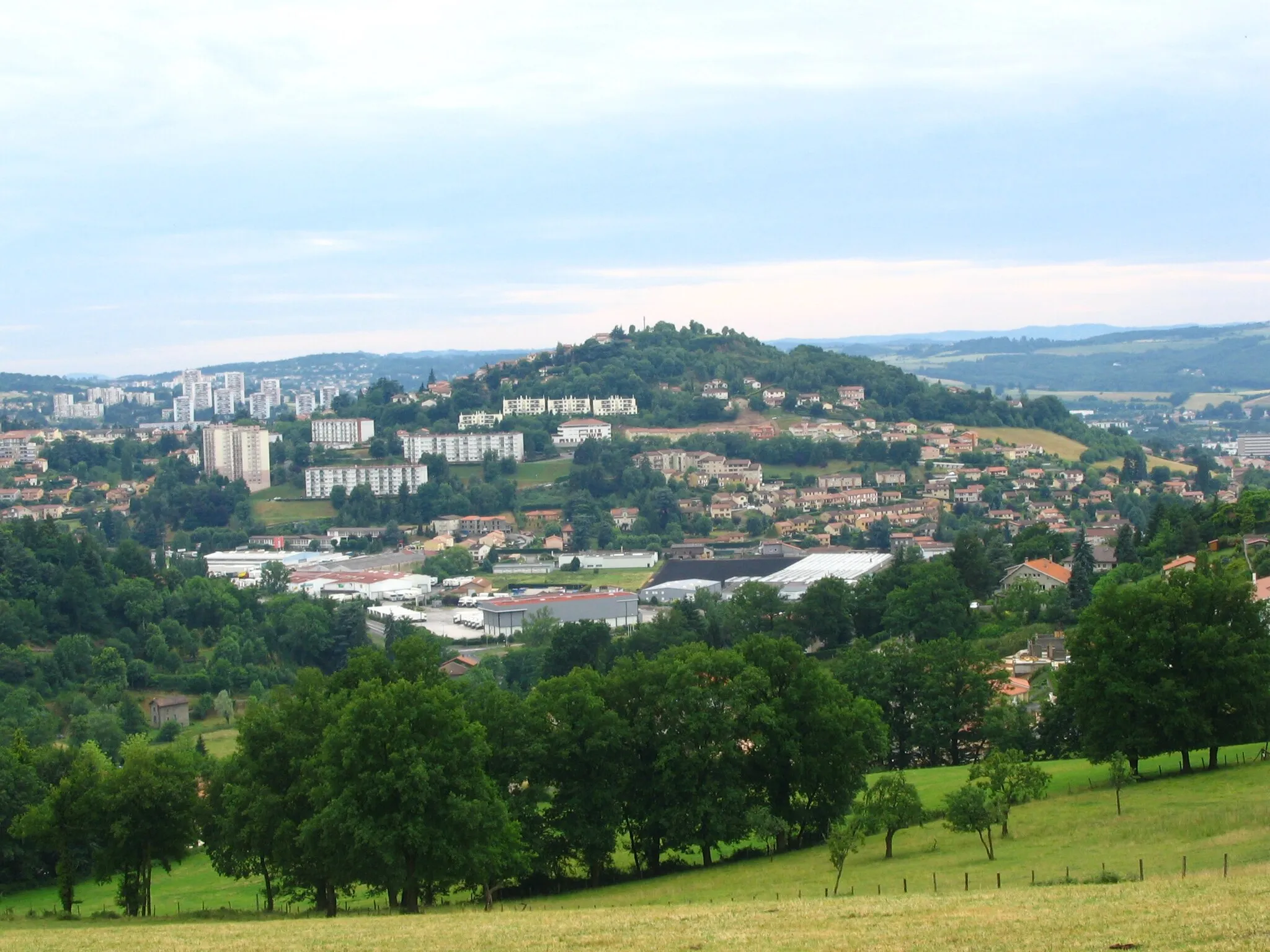
Bourg-ArgentalVillageMake a stop in Bourg-Argental and explore its charming streets and the Church of Saint-Barthélémy.
85 km
85 km
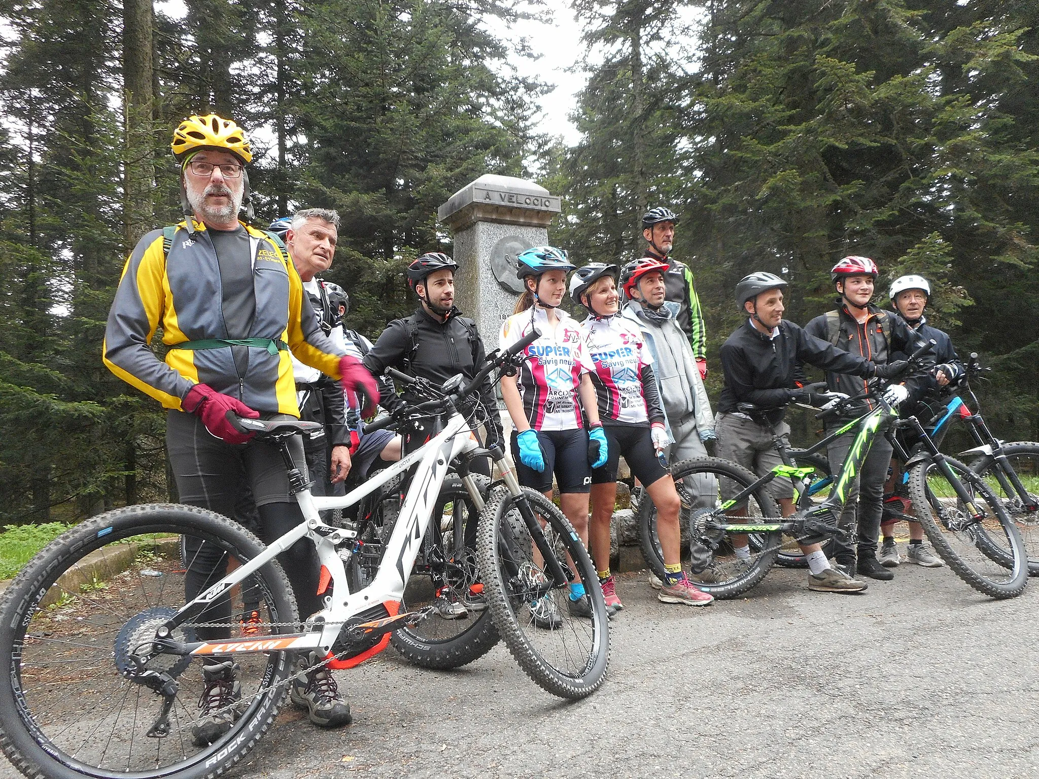
Col de la République1161 mMountain PassAfter 85 km, you will reach the famous Col de la République, known for its challenging ascent and breathtaking panoramic views.
96 km
96 km
Belvédère du GuizayViewpointBefore completing the route, don't miss the Belvédère du Guizay, offering stunning views of the Rhône Valley.
106 km
106 km
Saint-Jean-BonnefondsVillageOn your way back, make a stop in Saint-Jean-Bonnefonds and visit its historic center and the Castle of Saint-Jean-Bonnefonds.
111 km
111 km
Finish: Sorbiers Village centerSorbiers: Conquer the legendary Mont du Chat in Rhône-Alpes.
Cycling routes from Sorbiers:
Sorbiers to Col de la République Sorbiers to Table d'orientation Sorbiers to Château d'Essalois Scenic Gravel Loop around Sorbiers Sorbiers to Crêt de l'Œillon Sorbiers to Les Roches de Marlin Rhône Valley Road Adventure Sorbiers Gravel Ride Saint-Étienne and Mont Morin Loop Sorbiers Gravel Adventure The Saint-Chamond Gravel Loop The Loire Valley Gravel Adventure
Cycling routes nearby: