Sorbiers to Table d'orientation
A road cycling route starting from Sorbiers
Enjoy a scenic ride with panoramic views on this road cycling route
Map
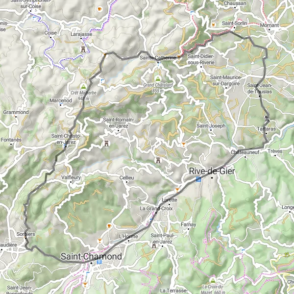
This 62 km road cycling route starts in Sorbiers and takes you to the Table d'orientation, offering panoramic views of the surrounding area. It's a relatively easier route with a difficulty rating of 3, making it suitable for cyclists of all levels. The route offers a mix of scenic landscapes and cultural highlights.
road
62 km
934 m
Tough
Route profile
Highlights on the route
0 km
0 km
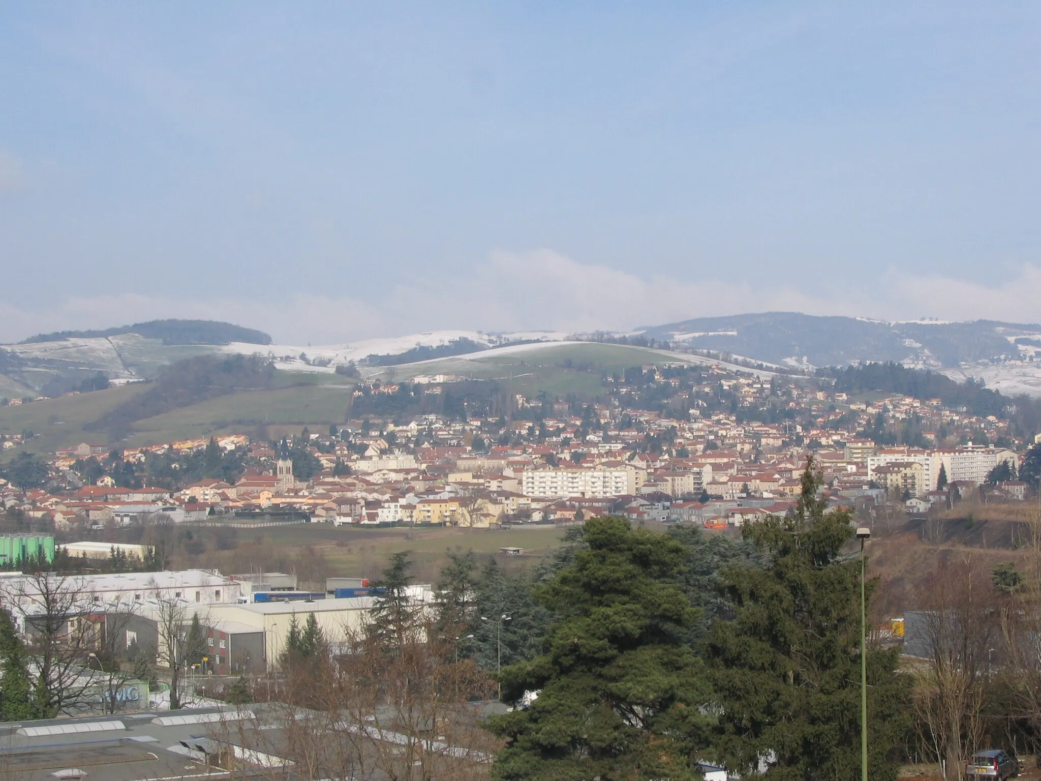
Start: Sorbiers Village centerSorbiers: Conquer the legendary Mont du Chat in Rhône-Alpes.
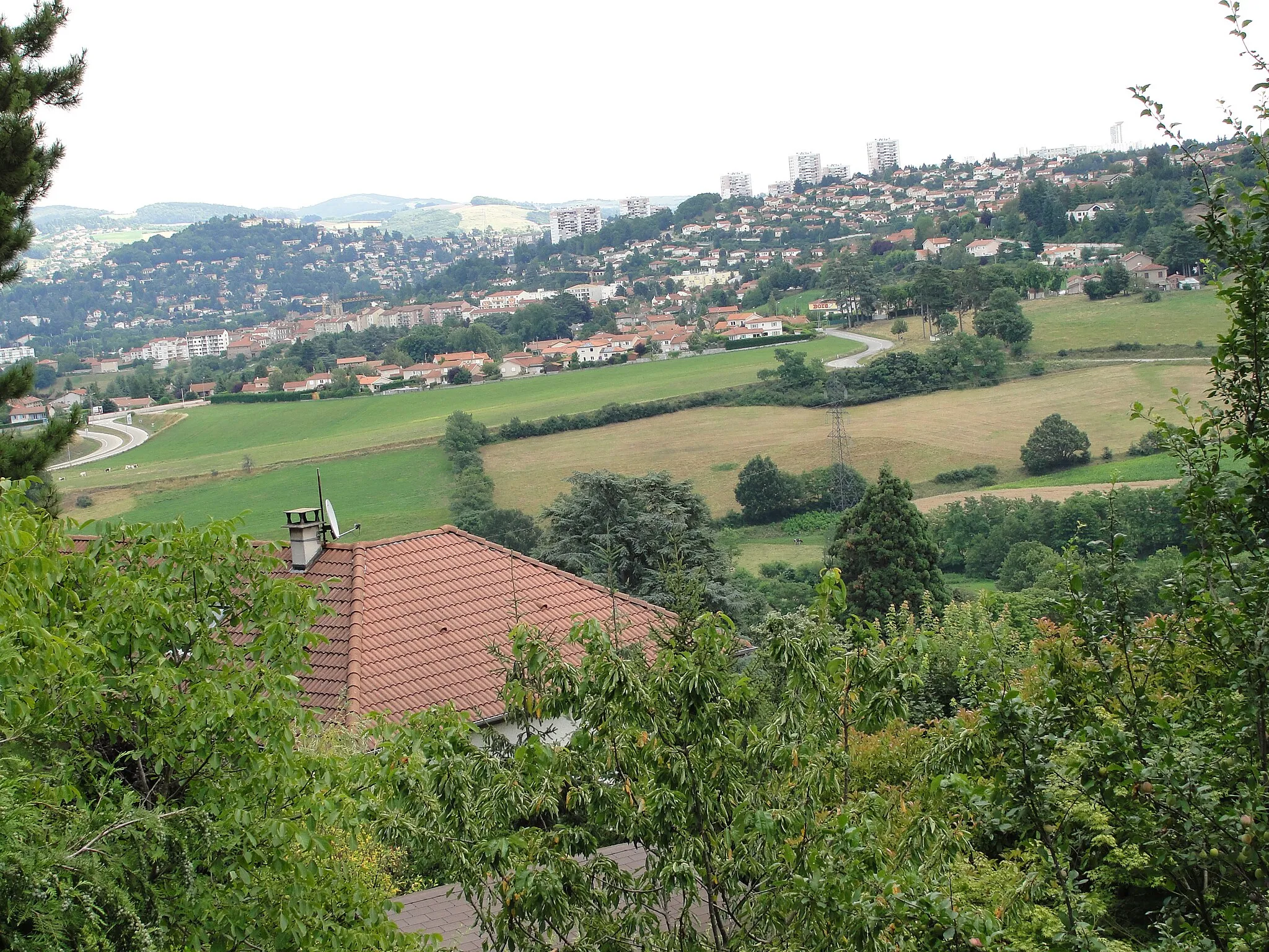
Sorbiers is a town located in the Rhône-Alpes region of France. From a cyclist's perspective, the area offers a mix of flat roads and challenging climbs, making it suitable for all levels of cyclists. The town is surrounded by beautiful countryside, showcasing the stunning landscapes of the Rhône-Alpes region. Nearby, cyclists can tackle the iconic climb of Mont du Chat, which is known for its demanding gradients and breathtaking views. Sorbiers is a must-visit destination for cyclists looking to challenge themselves on legendary climbs.8 km
8 km
Saint-Christo-en-JarezVillageBefore starting your ride, visit Saint-Christo-en-Jarez, a picturesque village known for its stunning views and charming architecture.
13 km
13 km
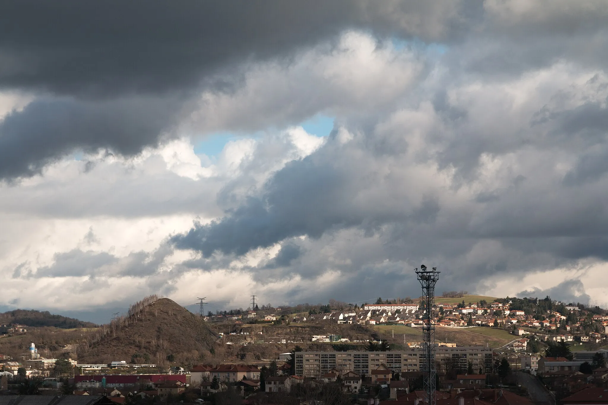
Crêt Malherbe943 mPeakAt a distance of 13 km, you will pass by the Crêt Malherbe, offering panoramic views of the surrounding nature.
23 km
23 km
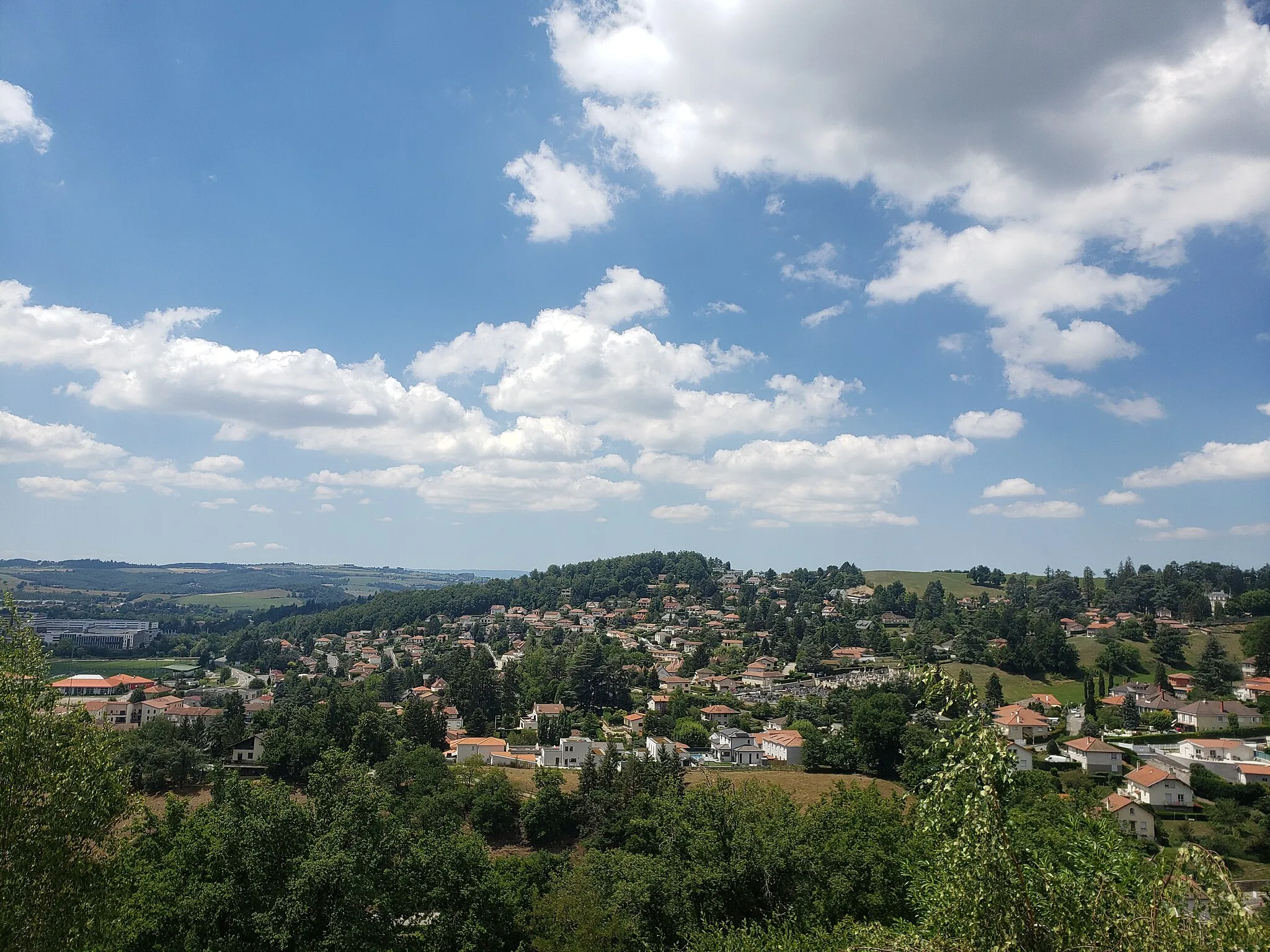
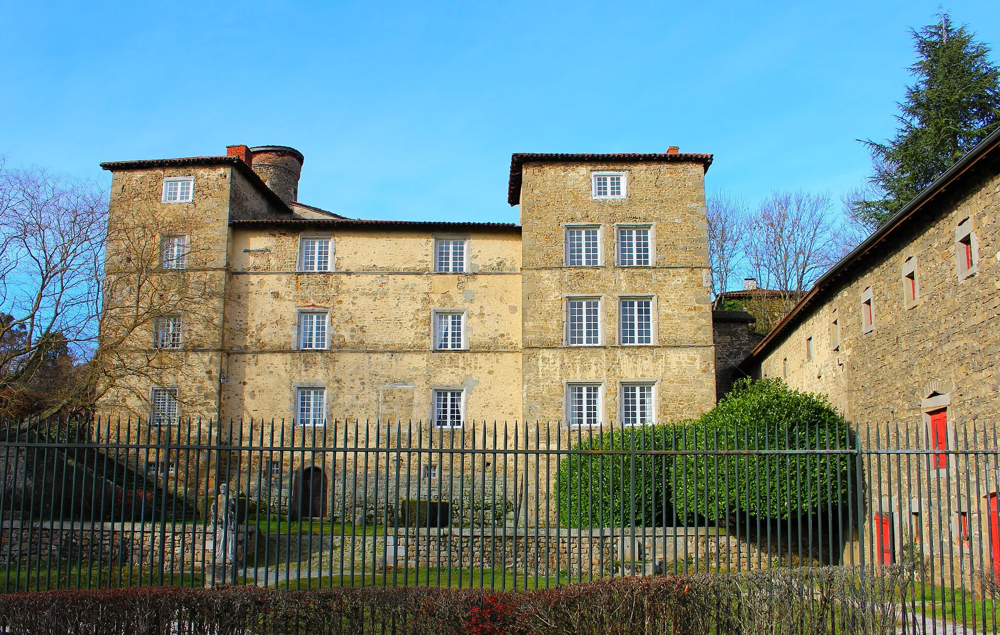
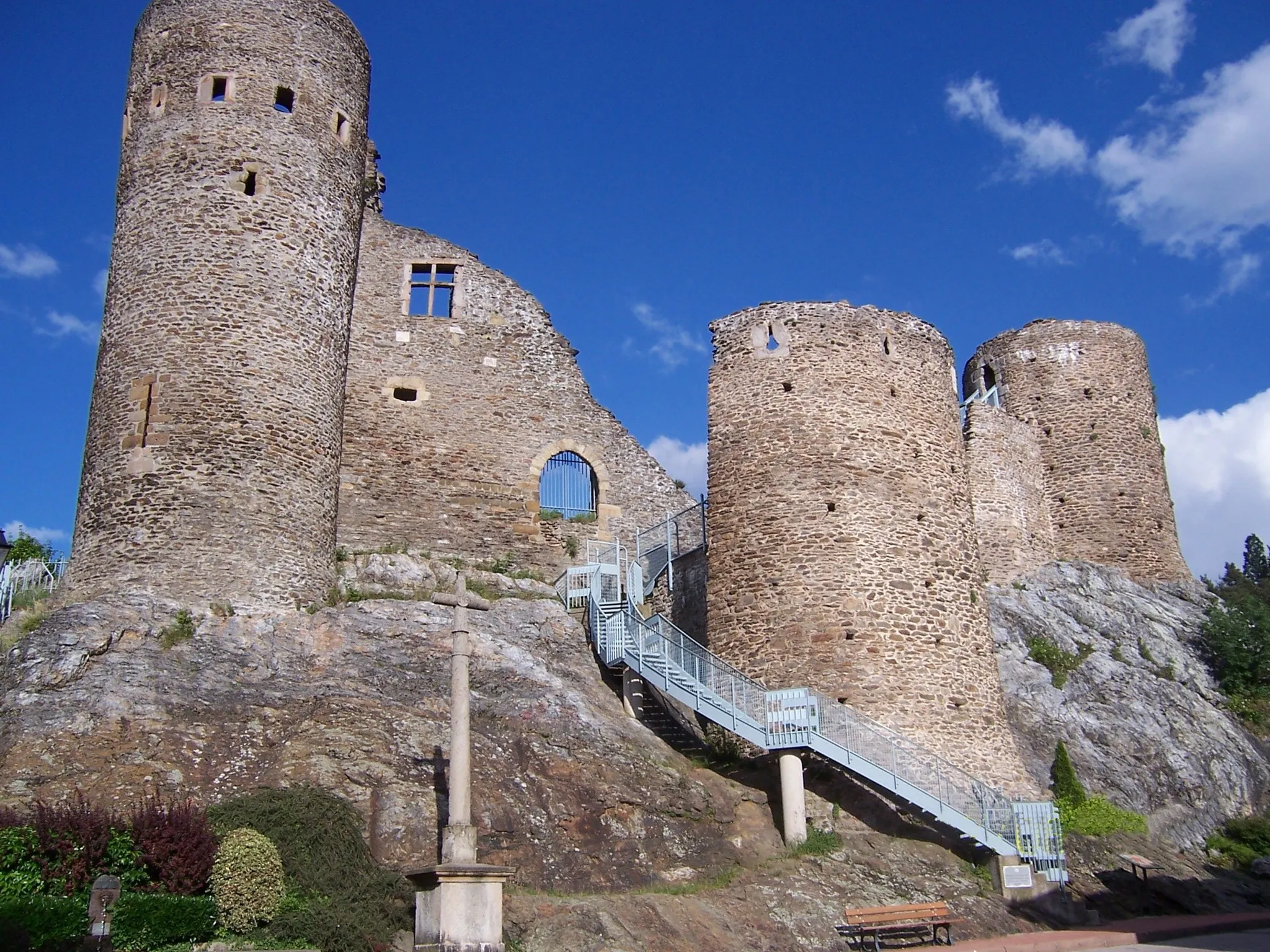
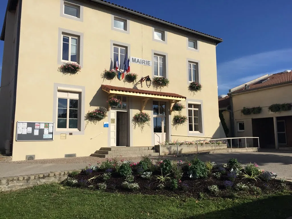
RiverieVillageContinue to Riverie and explore its medieval charm and the ruins of its castle.
23 km
23 km
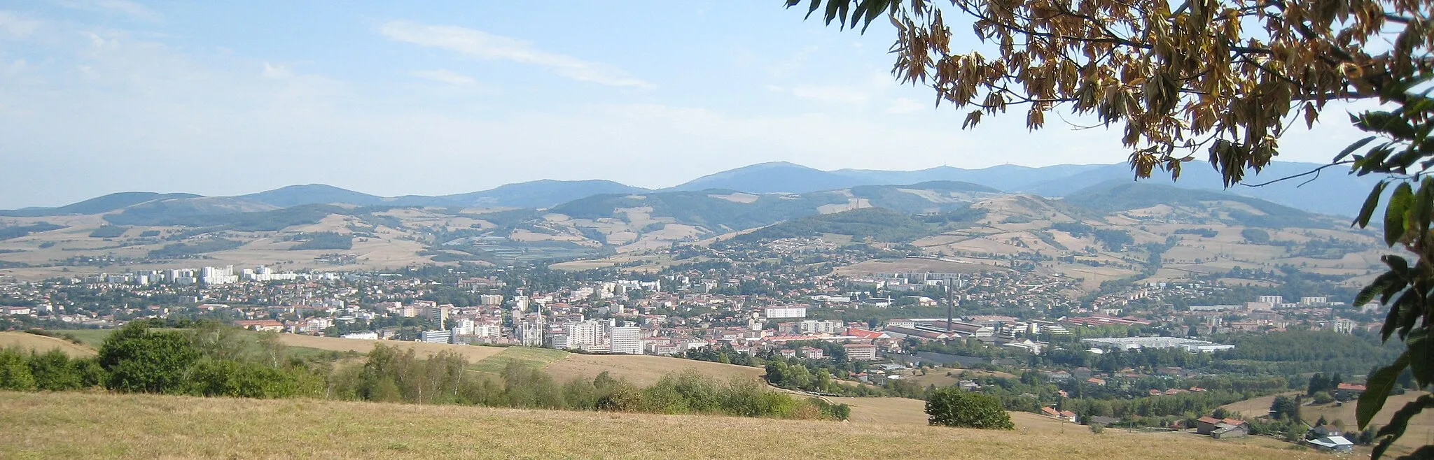
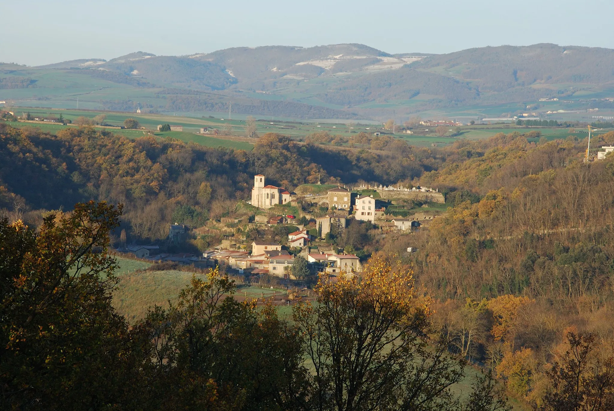
Table d'orientationViewpointAfter 23 km, you will reach the Table d'orientation, offering panoramic views of the surrounding landscapes.
38 km
38 km
DargoireVillagePass through Dargoire, a small village with a rich history and architectural charm.
55 km
55 km
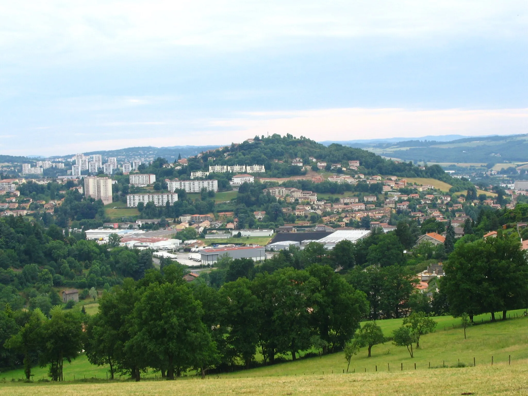
Saint-ChamondTownBefore completing the route, explore the city of Saint-Chamond and visit its beautiful castle and shops.
62 km
62 km
Finish: Sorbiers Village centerSorbiers: Conquer the legendary Mont du Chat in Rhône-Alpes.
Cycling routes from Sorbiers:
Sorbiers to Col de la République Sorbiers to Table d'orientation Sorbiers to Château d'Essalois Scenic Gravel Loop around Sorbiers Sorbiers to Crêt de l'Œillon Sorbiers to Les Roches de Marlin Rhône Valley Road Adventure Sorbiers Gravel Ride Saint-Étienne and Mont Morin Loop Sorbiers Gravel Adventure The Saint-Chamond Gravel Loop The Loire Valley Gravel Adventure
Cycling routes nearby: