Val-d'Isère - Col de l'Iseran Loop
A gravel cycling route starting from Val-d'Isere
A challenging gravel route that takes you to the highest paved pass in the Alps.
Map
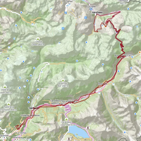
This 125km gravel route offers breathtaking views as you climb from Val-d'Isère to the Col de l'Iseran, the highest paved pass in the Alps. Be prepared for a challenging ascent with over 3700m of elevation gain. The route includes highlights such as the picturesque village of Bonneval-sur-Arc and the stunning Monolithe de Sardières. Overall, this is a rewarding and epic cycling experience with a difficulty rating of 4 and an epicness rating of 4.
gravel
125 km
3757 m
Tough
Route profile
Highlights on the route
0 km
0 km
Start: Val-d'Isère Village centerVal-d'Isère: Cyclist's paradise with access to famous Col de l'Iseran.
Val-d'Isère is a town located in the Rhône-Alpes region of France. From a cyclist's perspective, the locality offers a mix of challenging terrain suitable for road and gravel cycling. The town is renowned for its stunning alpine scenery and attracts cyclists looking for a thrilling ride. Val-d'Isère is home to the famous Col de l'Iseran, the highest paved mountain pass in the Alps, which is a must for any cyclist seeking a legendary climb. Overall, Val-d'Isère is a paradise for cyclists who enjoy pushing their limits and conquering iconic mountain passes.14 km
14 km
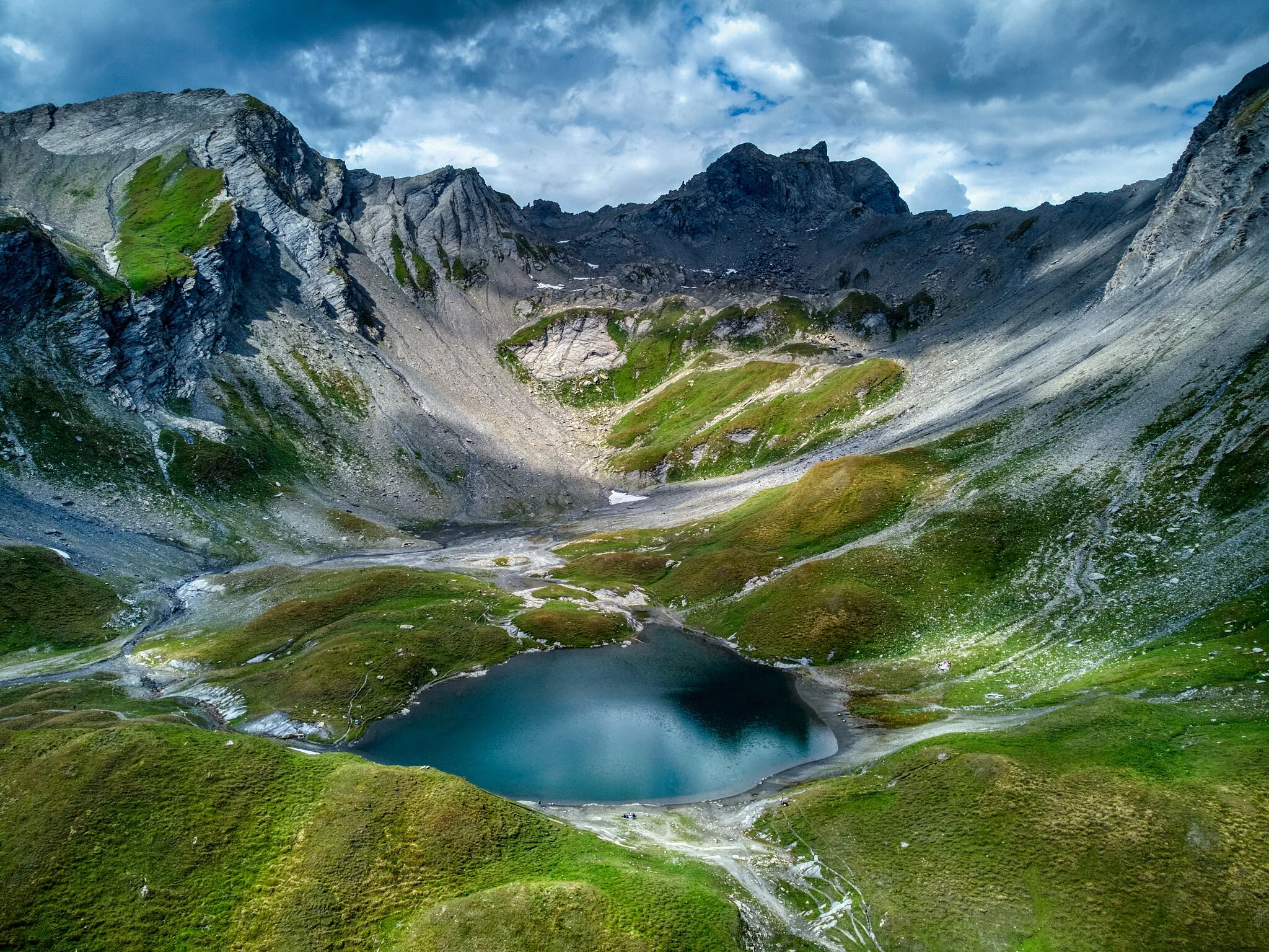
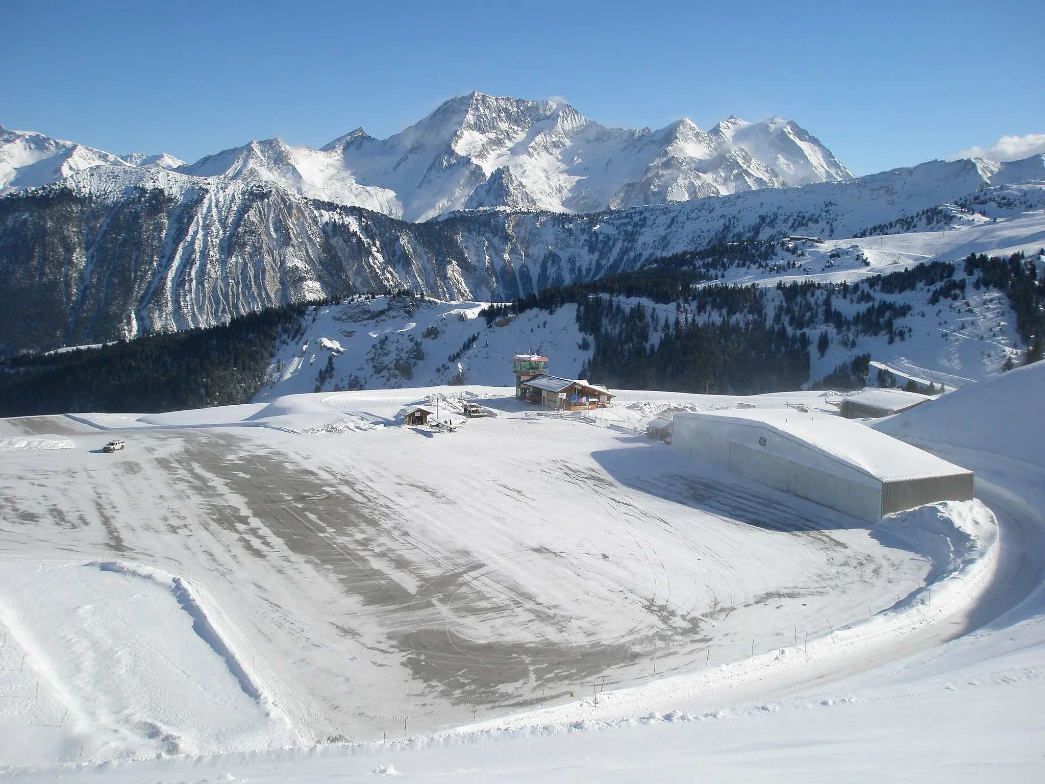
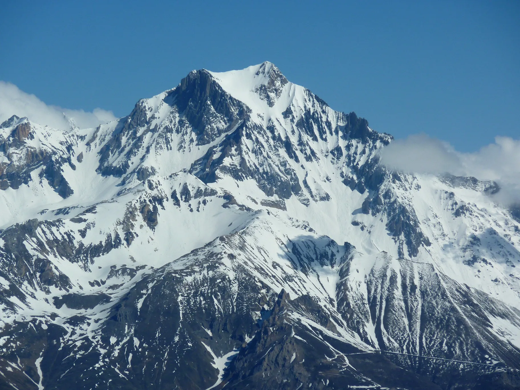
Col de l'Iseran2770 mViewpointCol de l'Iseran is the highest paved pass in the Alps, offering breathtaking views from its summit.
27 km
27 km
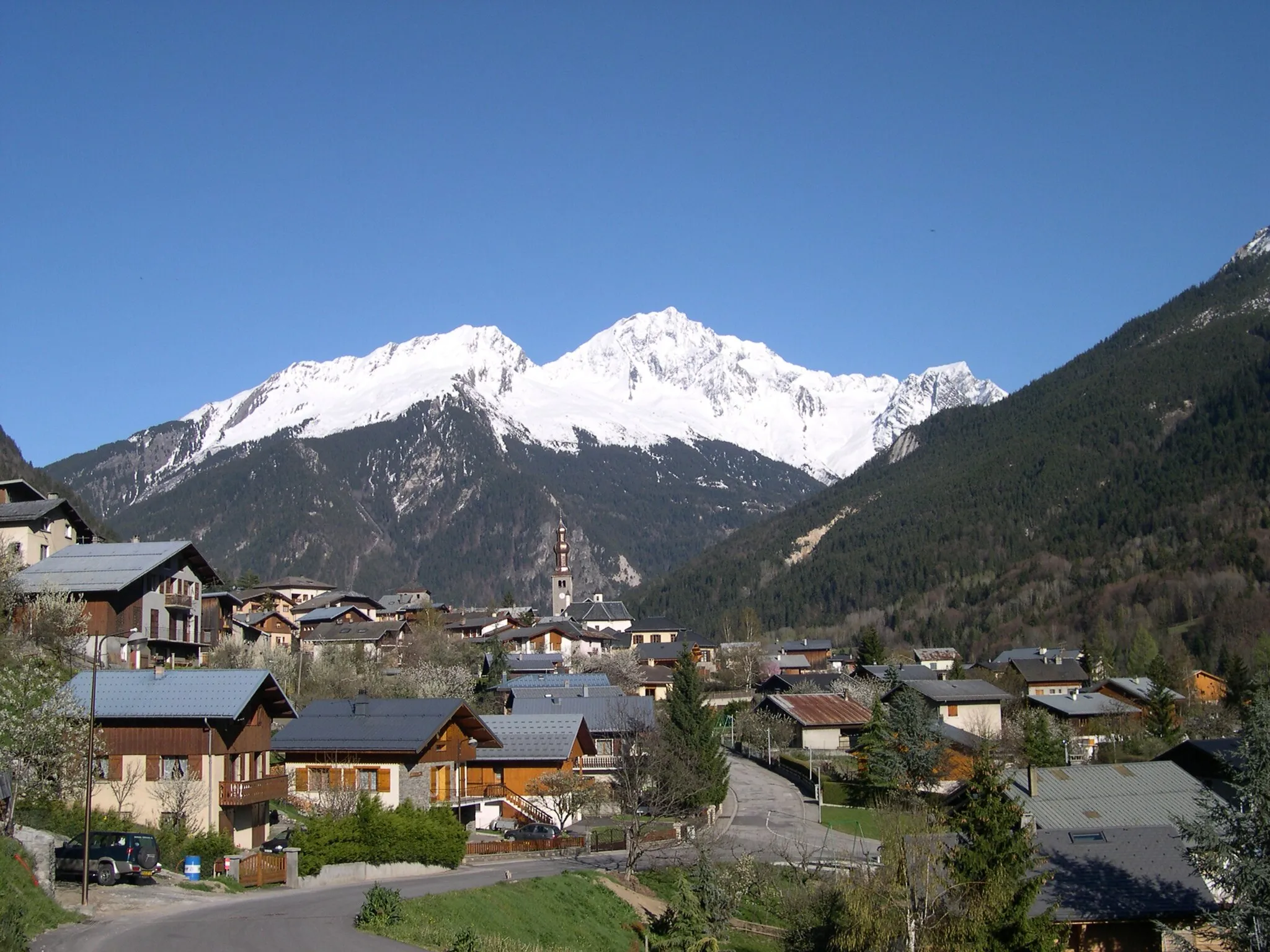
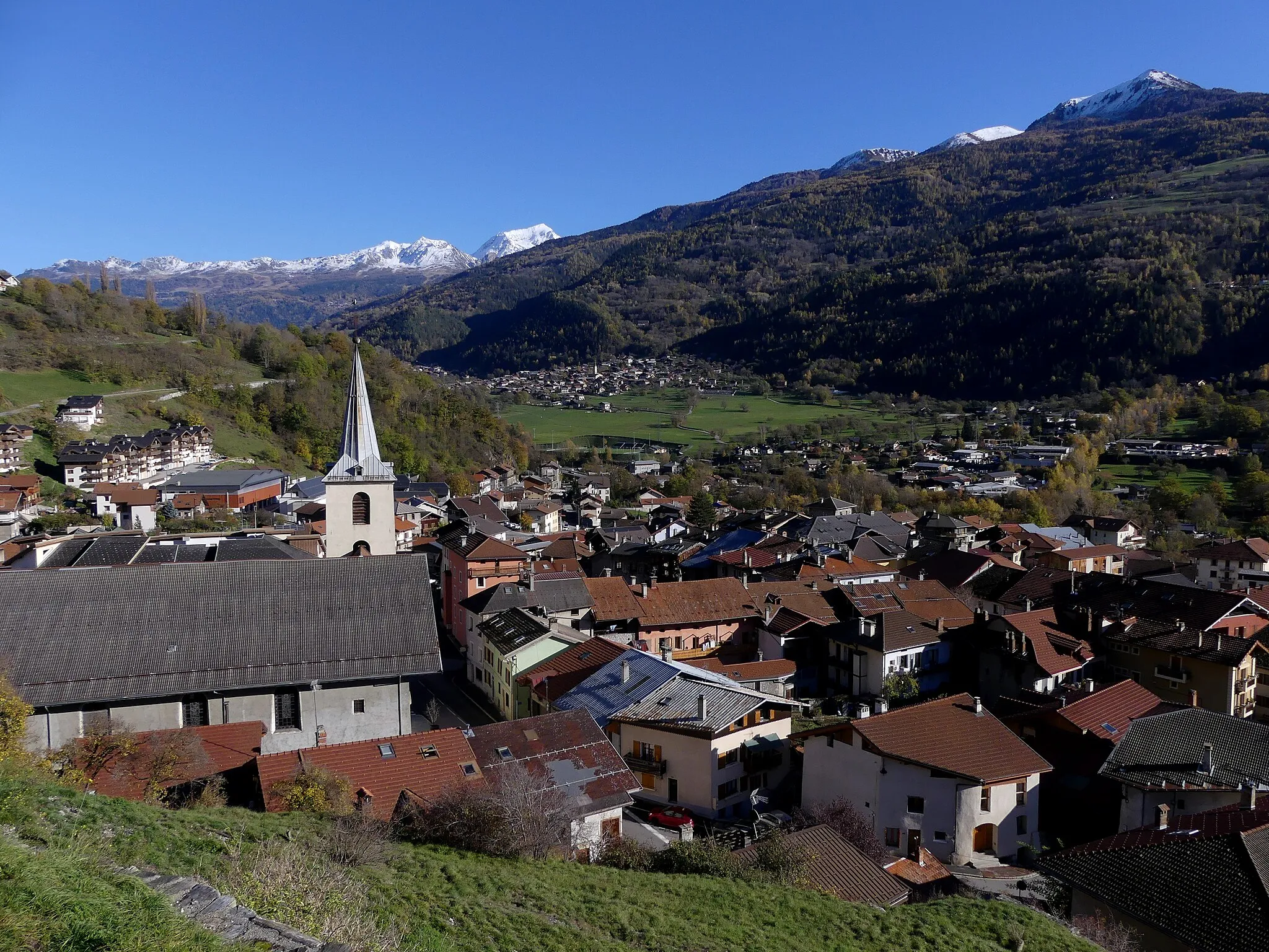
Bonneval-sur-ArcVillageBonneval-sur-Arc is a picturesque Alpine village known for its traditional architecture and scenic beauty.
41 km
41 km
Chantelouve d'en HautHamletChantelouve d'en Haut is a charming hamlet nestled in the mountains, surrounded by lush greenery.
59 km
59 km
SardièresHamlet62 km
62 km
Monolithe de Sardières1670 mPeakMonolithe de Sardières is a unique rock formation that stands out against the surrounding landscape.
78 km
78 km
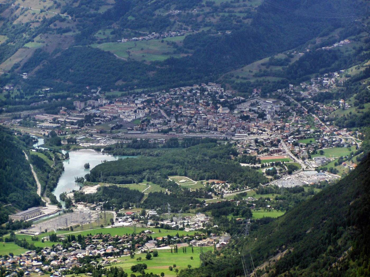
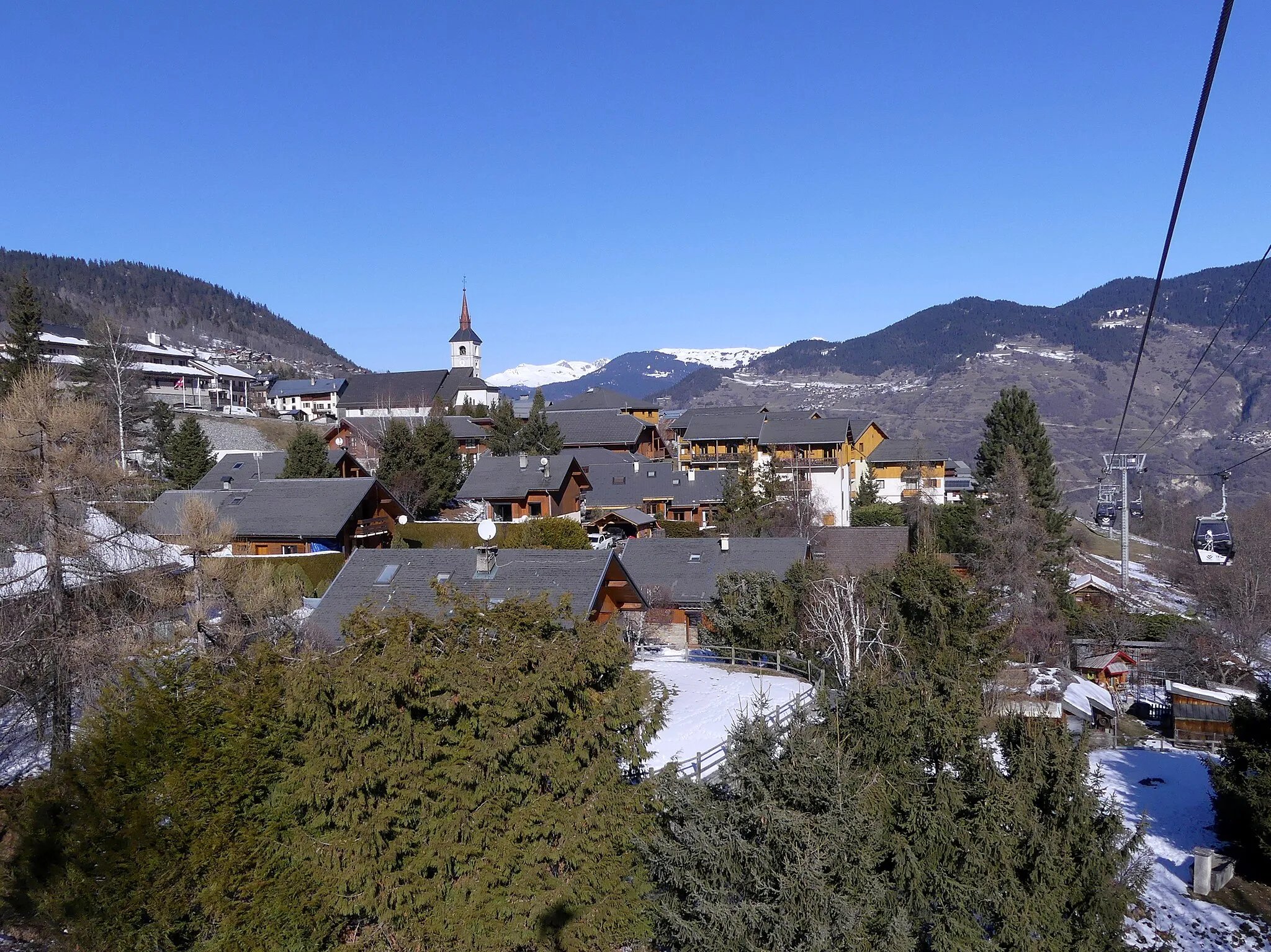
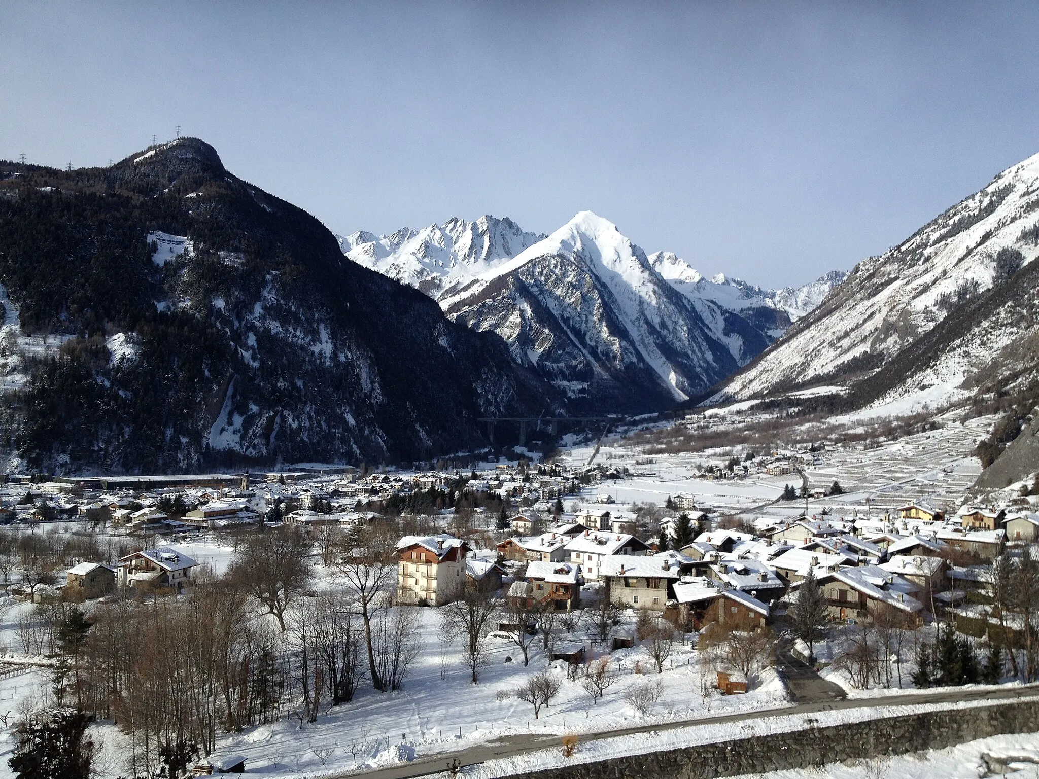
LanslevillardVillageLanslevillard is a mountain village with a traditional Savoyard charm and stunning alpine scenery.
82 km
82 km
Col de la Madeleine1746 mMountain PassCol de la Madeleine is a challenging mountain pass that offers beautiful views and a sense of accomplishment.
95 km
95 km
Pré CatinHamlet117 km
117 km
Cascade du FornetWaterfallCascade du Fornet is a picturesque waterfall located along the route, providing a refreshing sight during the ride.
125 km
125 km
Finish: Val-d'Isère Village centerVal-d'Isère: Cyclist's paradise with access to famous Col de l'Iseran.
Cycling routes nearby: