Val-d'Isère - Col du Petit-Saint-Bernard Loop
A gravel cycling route starting from Val-d'Isere
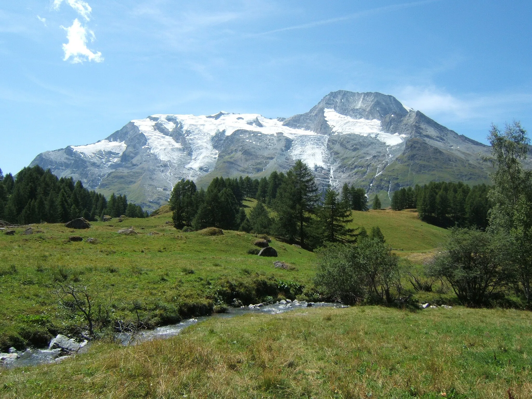
Experience the stunning beauty of the Col du Petit-Saint-Bernard on this challenging gravel route.
Map
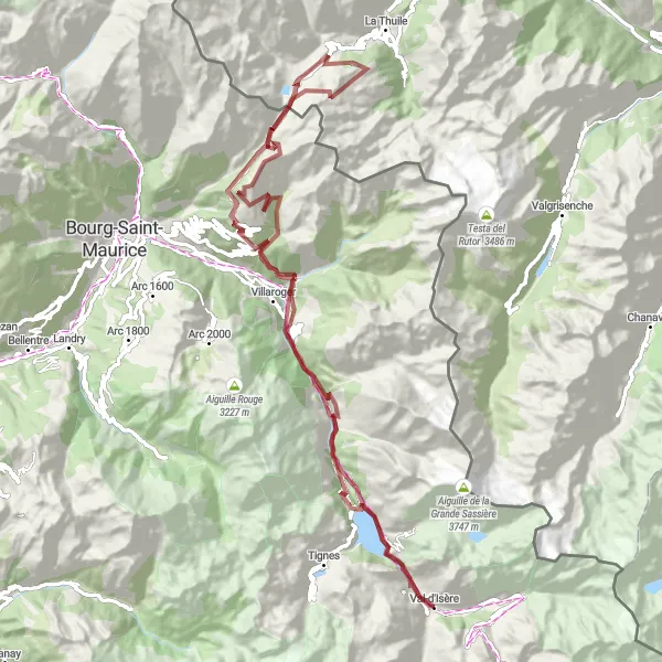
This 98km gravel route takes you from Val-d'Isère to the Col du Petit-Saint-Bernard, offering stunning alpine scenery along the way. With an ascent of over 4000m, this is a challenging ride suitable for experienced cyclists. Highlights of the route include the picturesque village of Sainte-Foy-Tarentaise and the historic ruins of Redoute Ruinee. The difficulty rating for this route is 4, and the epicness rating is 4, making it a rewarding and memorable cycling experience.
gravel
98 km
4053 m
Tough
Route profile
Highlights on the route
0 km
0 km
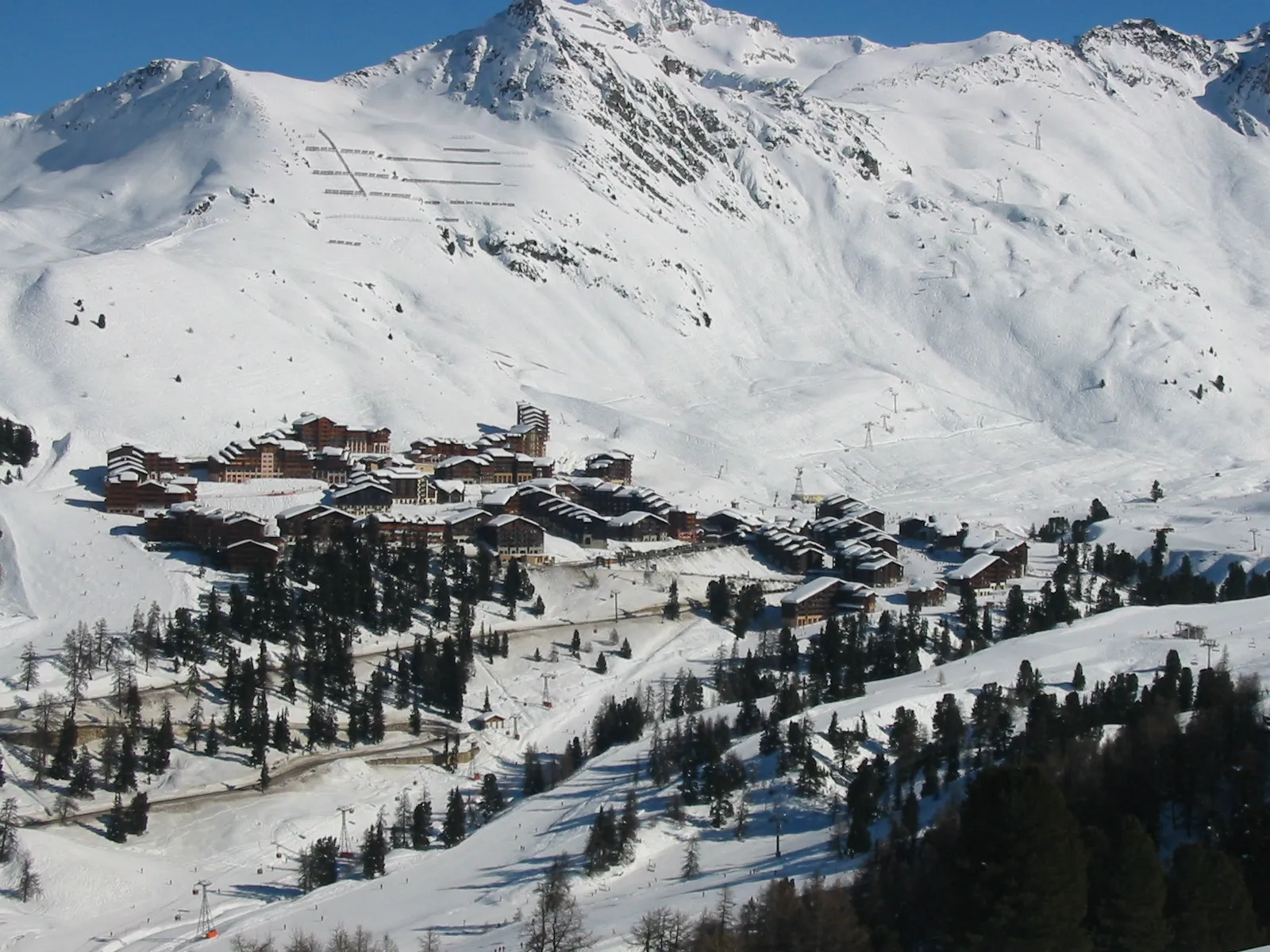
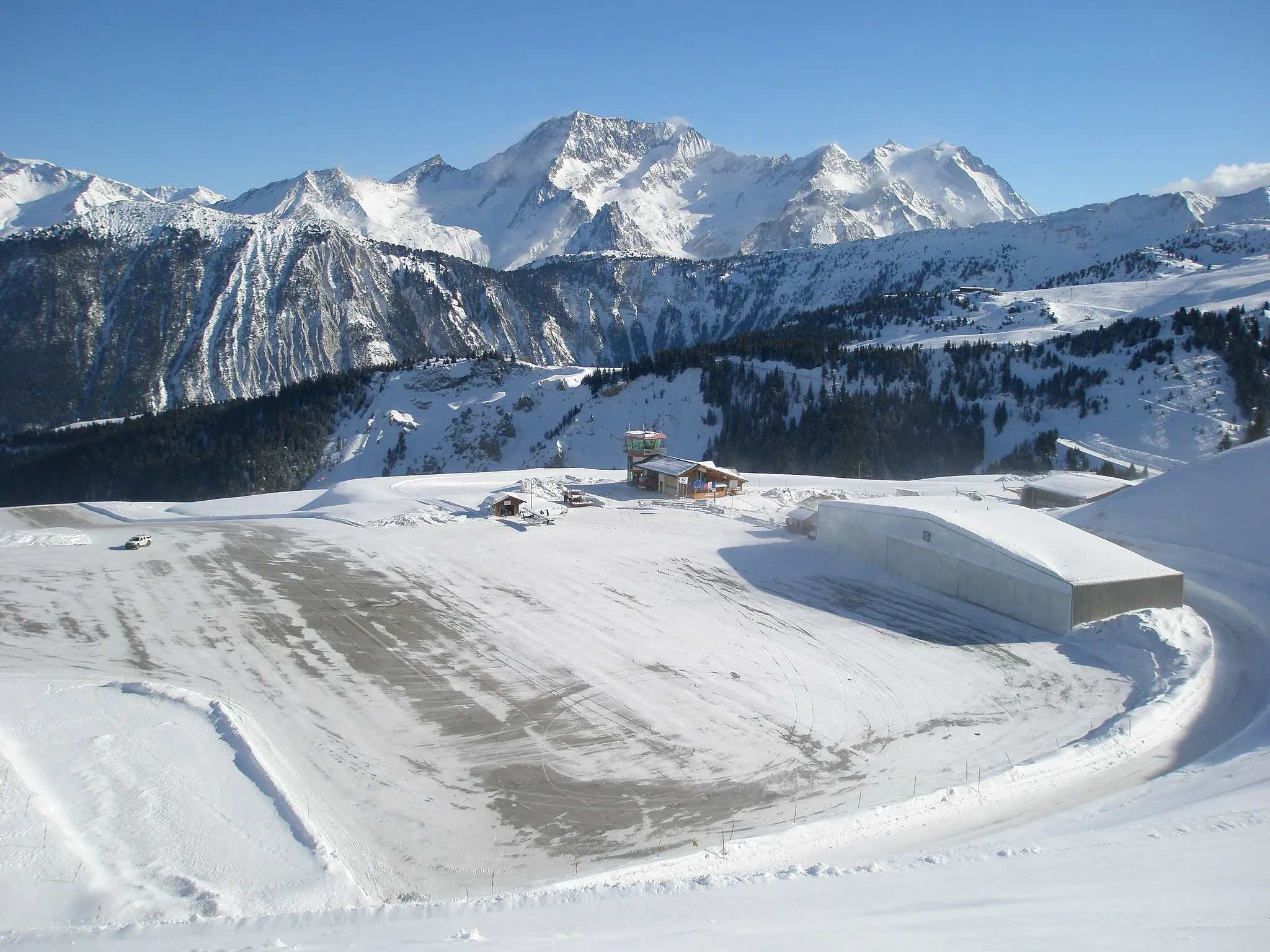
Start: Val-d'Isère Village centerVal-d'Isère: Cyclist's paradise with access to famous Col de l'Iseran.
Val-d'Isère is a town located in the Rhône-Alpes region of France. From a cyclist's perspective, the locality offers a mix of challenging terrain suitable for road and gravel cycling. The town is renowned for its stunning alpine scenery and attracts cyclists looking for a thrilling ride. Val-d'Isère is home to the famous Col de l'Iseran, the highest paved mountain pass in the Alps, which is a must for any cyclist seeking a legendary climb. Overall, Val-d'Isère is a paradise for cyclists who enjoy pushing their limits and conquering iconic mountain passes.7 km
7 km
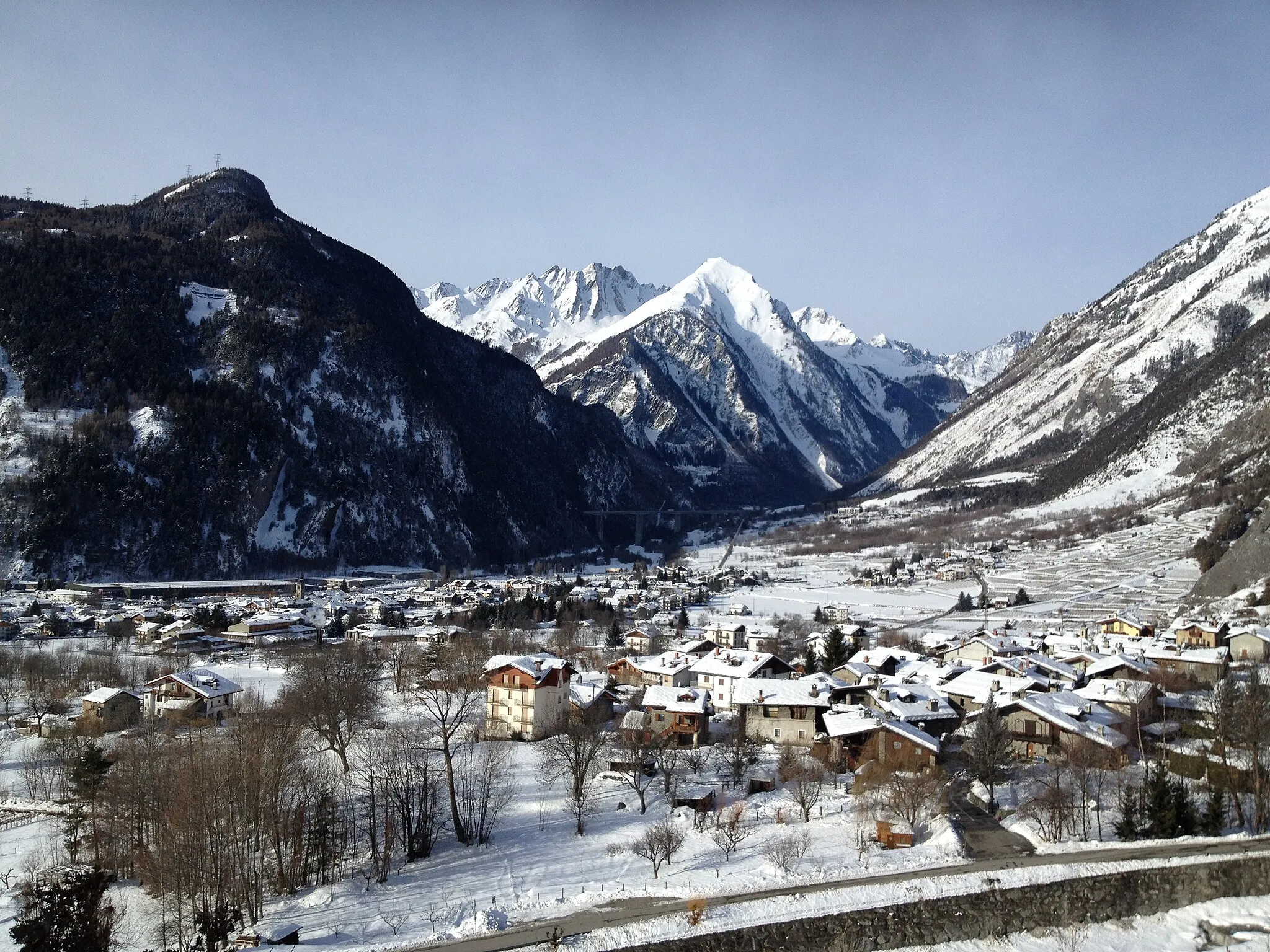
Le ChevrilHamletLe Chevril is a small historic hamlet known for its charming stone houses and peaceful atmosphere.
19 km
19 km
Le BaptieuHamlet36 km
36 km
Redoute RuinéeCastleRedoute Ruinée is a historic fortification that offers panoramic views of the surrounding mountains.
36 km
36 km
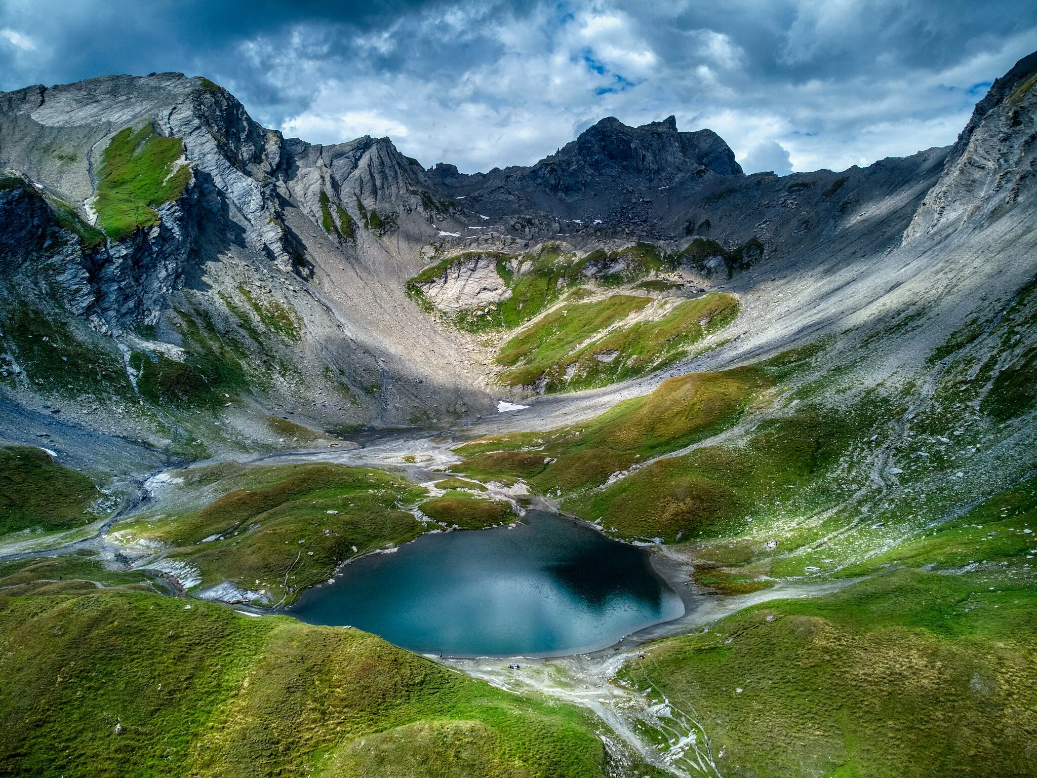
Col de la Traversette2383 mMountain PassCol de la Traversette is a challenging mountain pass with stunning views of the Alps.
55 km
55 km
Cromlech du Petit-Saint-BernardAttractionCromlech du Petit-Saint-Bernard is a prehistoric stone circle located near the summit of the pass, providing an intriguing sight for curious explorers.
55 km
55 km
Col du Petit-Saint-Bernard2188 mMountain PassCol du Petit-Saint-Bernard is a famous mountain pass that has been used since ancient times, offering breathtaking views in all directions.
73 km
73 km
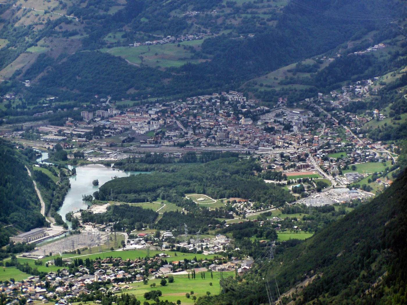
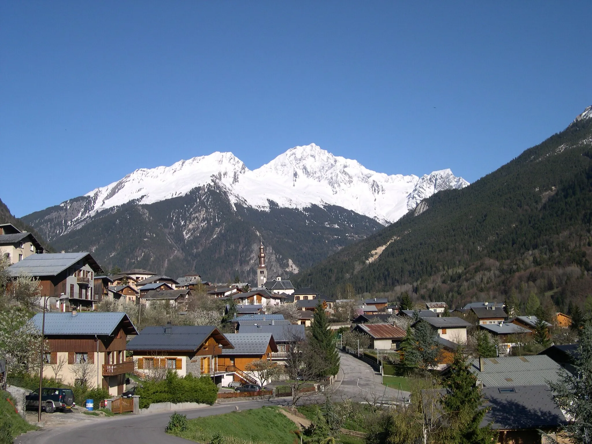
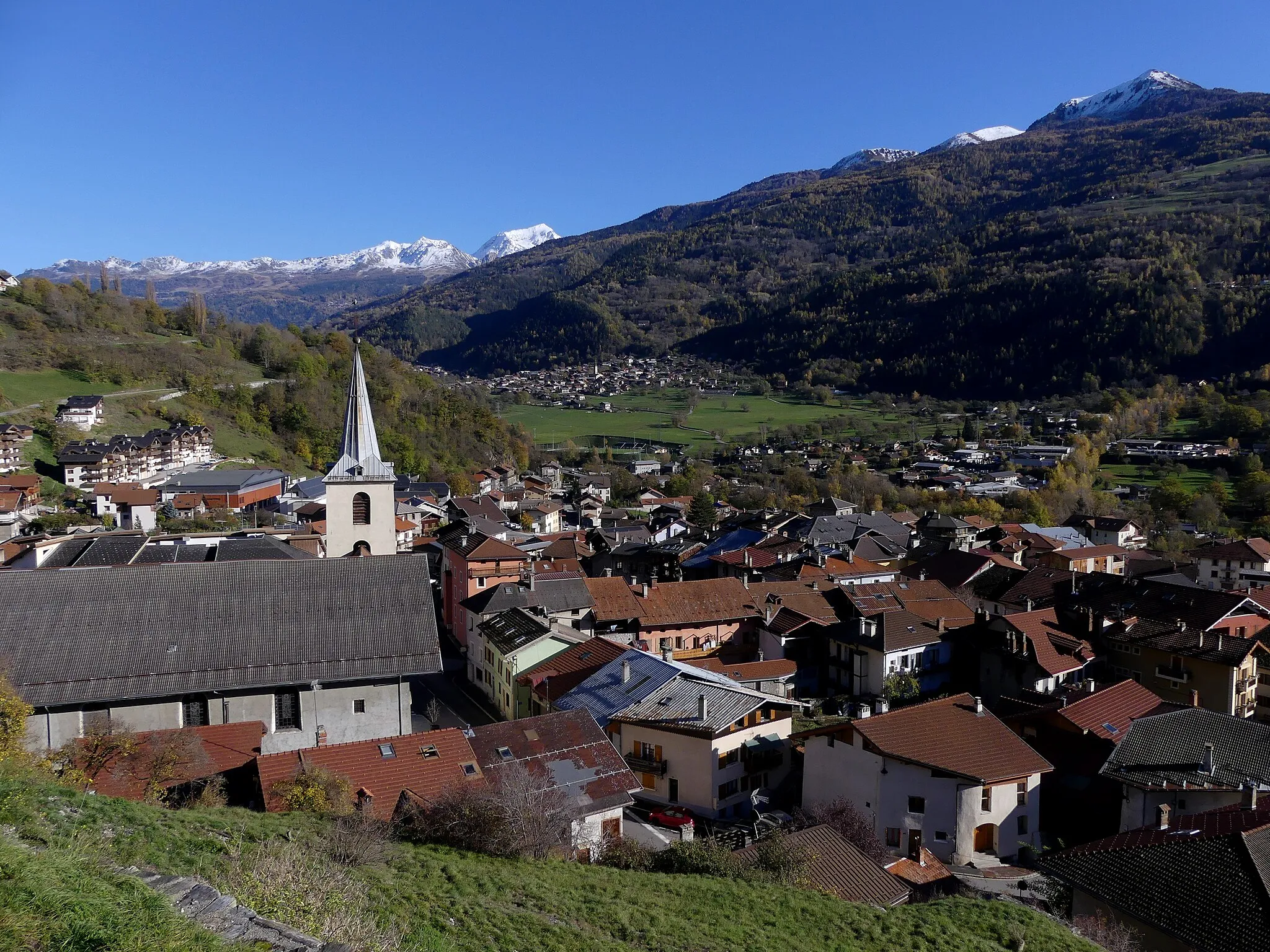
Sainte-Foy-TarentaiseVillageSainte-Foy-Tarentaise is a picturesque mountain village with traditional architecture and stunning alpine scenery.
96 km
96 km
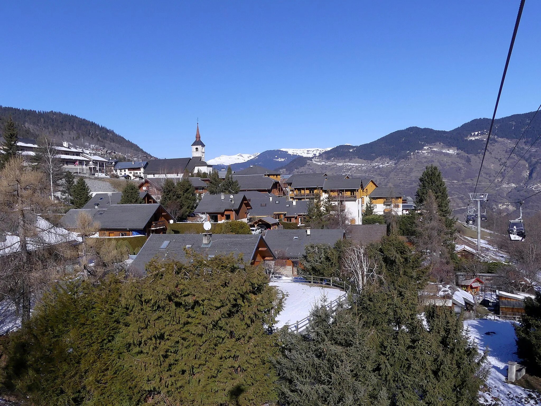
La DailleVillage98 km
98 km
Finish: Val-d'Isère Village centerVal-d'Isère: Cyclist's paradise with access to famous Col de l'Iseran.
Cycling routes nearby: