Val-d'Isère - Col de l'Iseran Loop
A road cycling route starting from Val-d'Isere
Experience the iconic Col de l'Iseran on this challenging road route.
Map
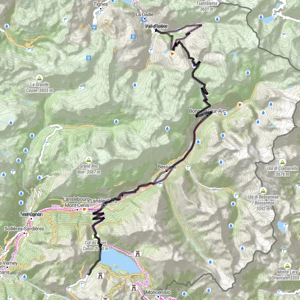
This 114km road route takes you from Val-d'Isère to the Col de l'Iseran, offering stunning mountain views and challenging climbs. With over 3400m of elevation gain, this is a route suited for well-trained amateur cyclists. Highlights of the route include the picturesque village of Bonneval-sur-Arc and the cascading beauty of Cascade du Fornet. Overall, this is a challenging and rewarding cycling experience with a difficulty rating of 3 and an epicness rating of 3.
road
114 km
3482 m
Tough
Route profile
Highlights on the route
0 km
0 km
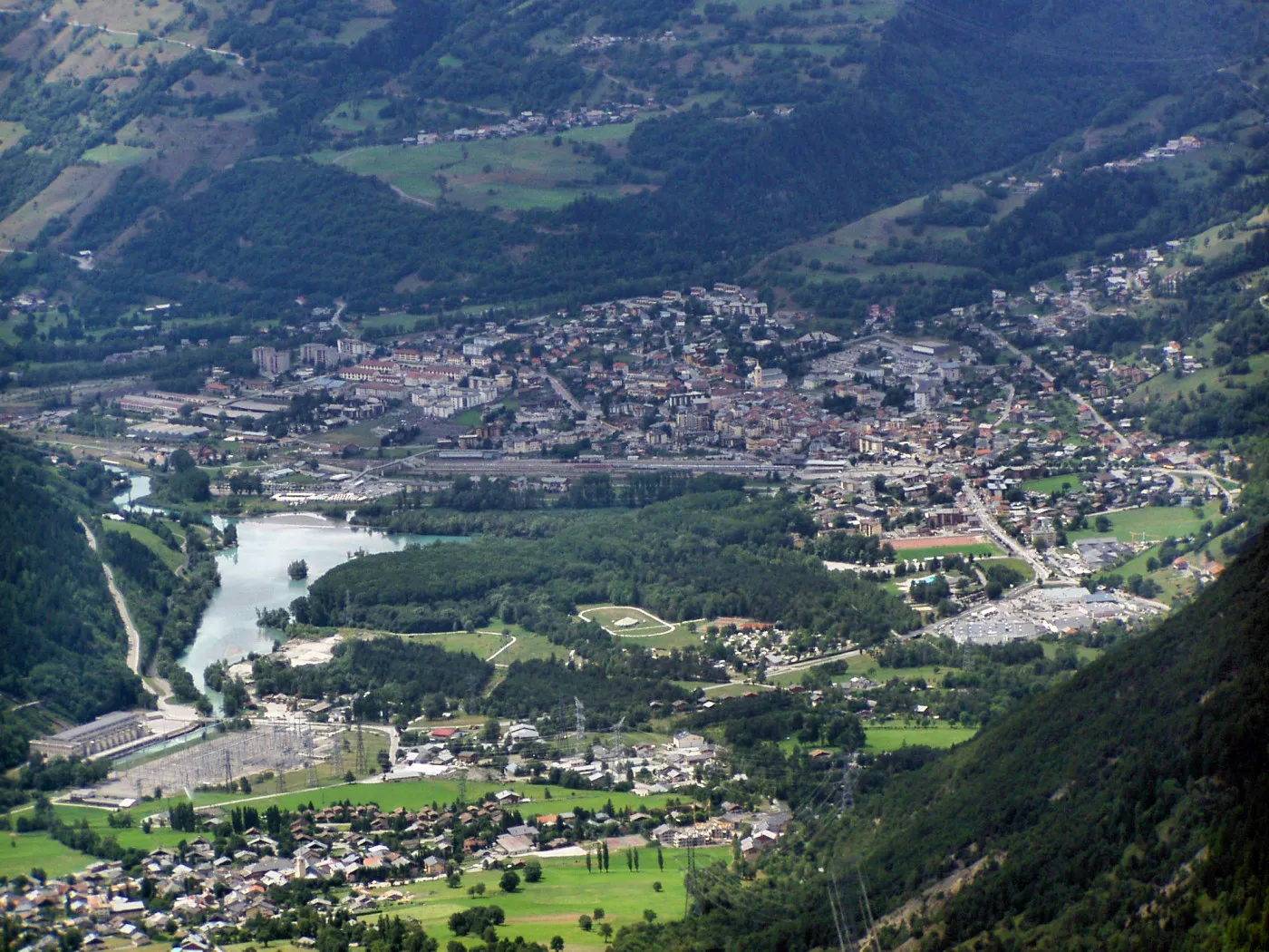
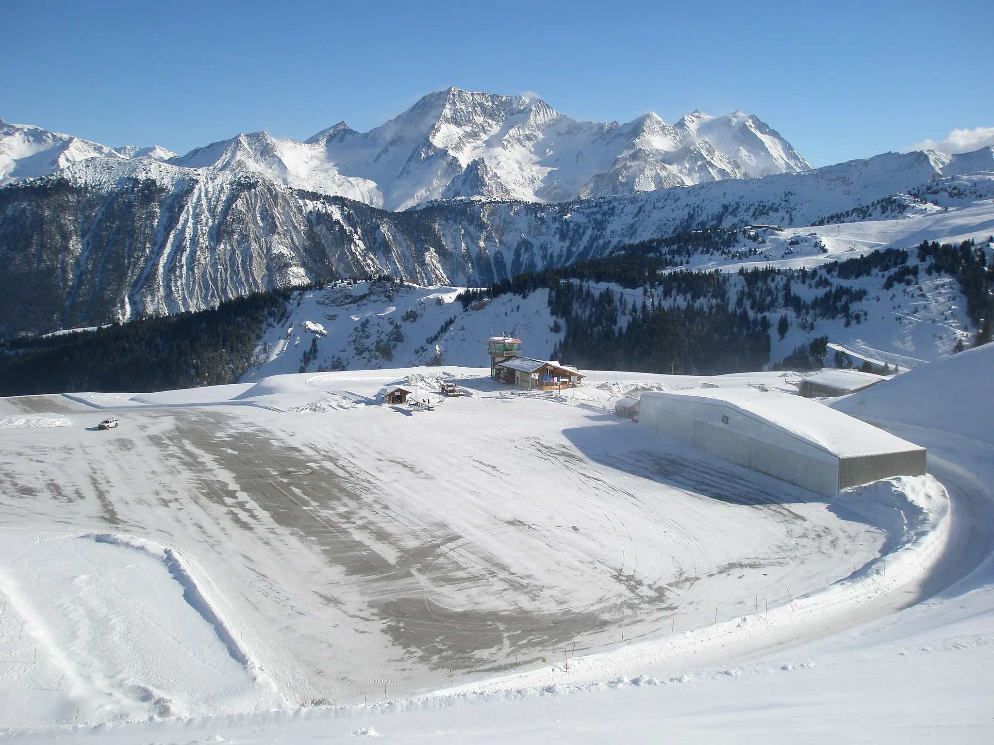
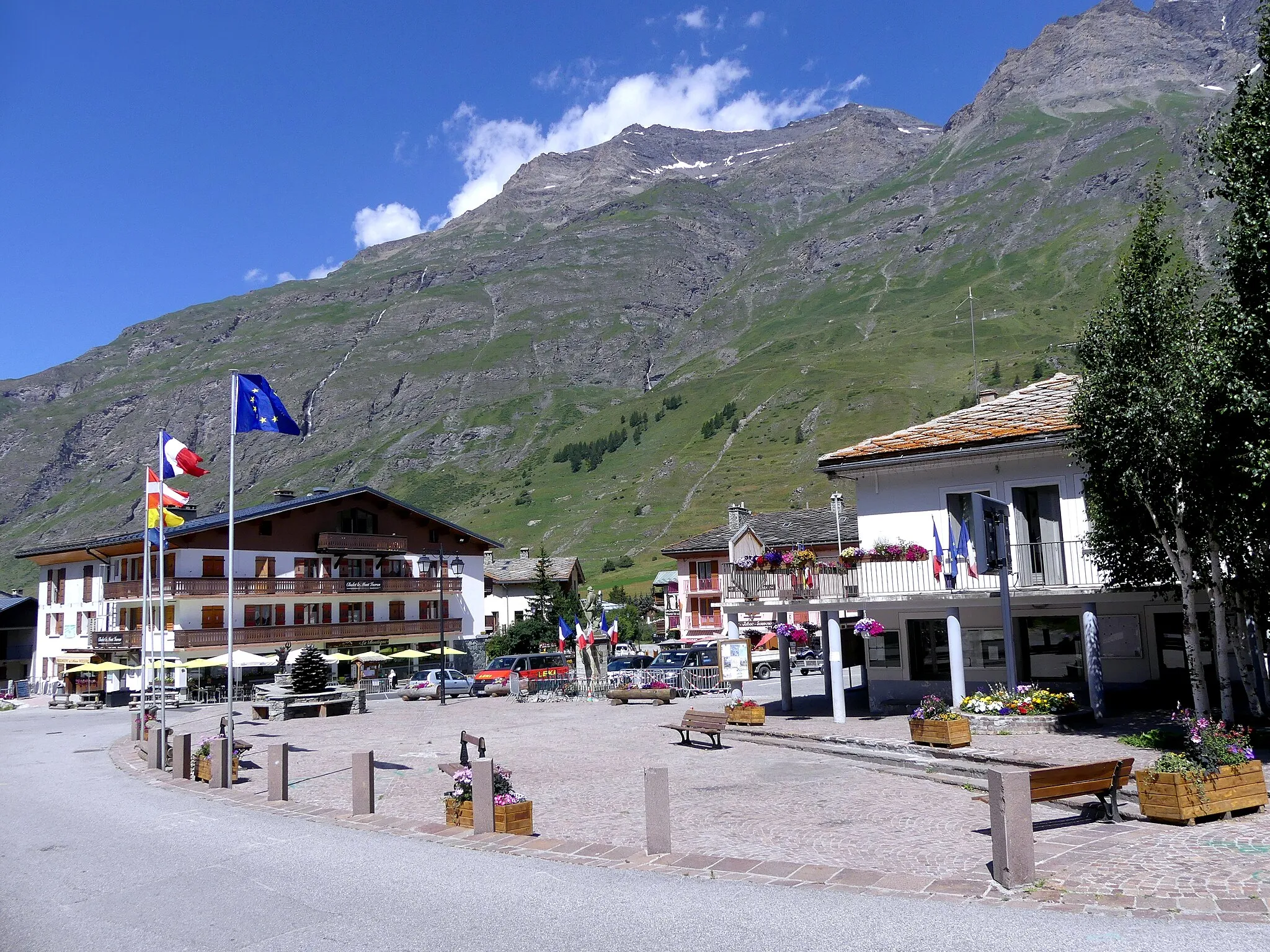
Start: Val-d'Isère Village centerVal-d'Isère: Cyclist's paradise with access to famous Col de l'Iseran.
Val-d'Isère is a town located in the Rhône-Alpes region of France. From a cyclist's perspective, the locality offers a mix of challenging terrain suitable for road and gravel cycling. The town is renowned for its stunning alpine scenery and attracts cyclists looking for a thrilling ride. Val-d'Isère is home to the famous Col de l'Iseran, the highest paved mountain pass in the Alps, which is a must for any cyclist seeking a legendary climb. Overall, Val-d'Isère is a paradise for cyclists who enjoy pushing their limits and conquering iconic mountain passes.2 km
2 km
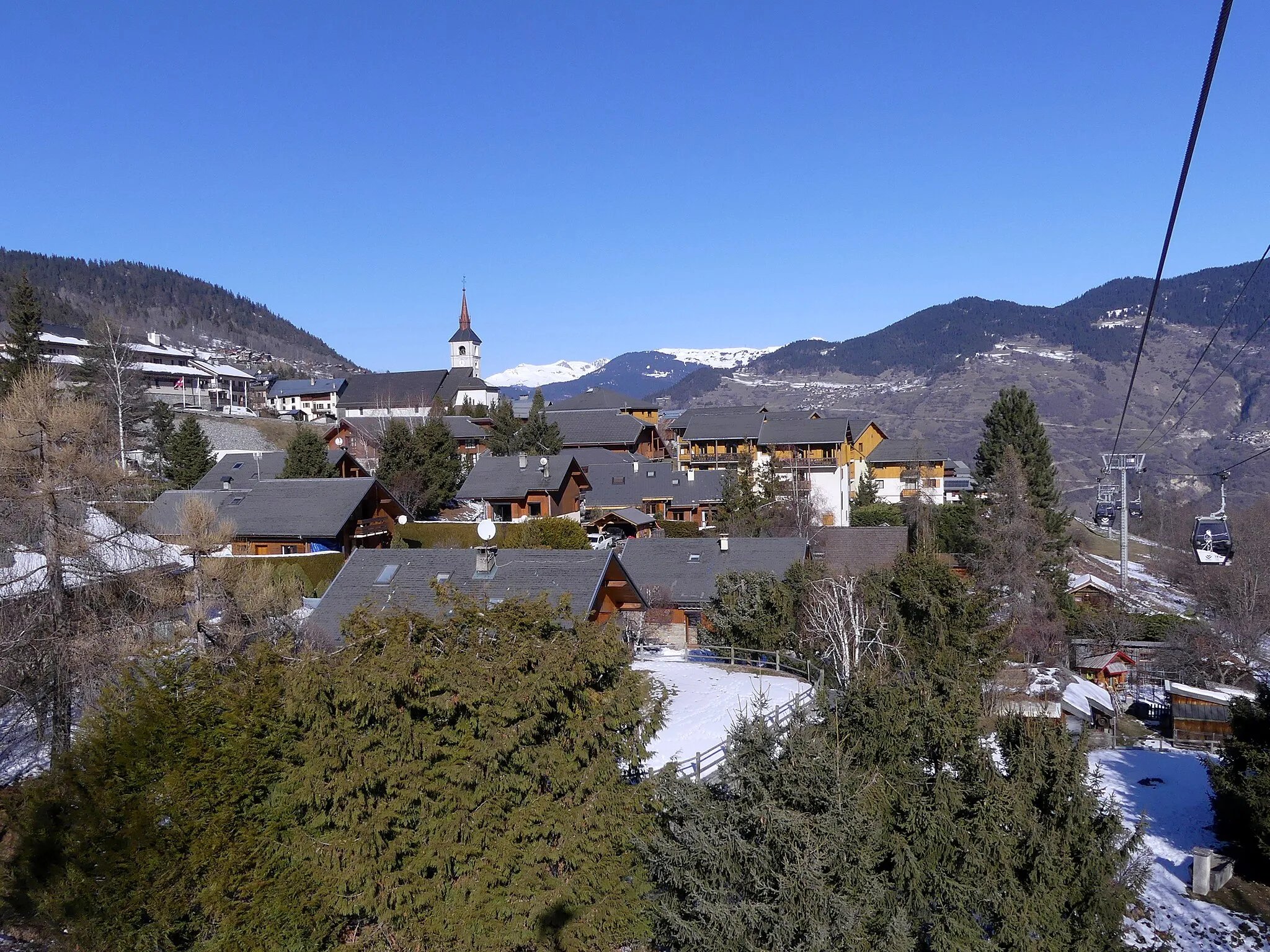
Le FornetHamletLe Fornet is a charming hamlet known for its traditional architecture and beautiful alpine surroundings.
18 km
18 km
Pointe des Lessières3043 mPeak41 km
41 km
Col de la Madeleine1746 mMountain PassCol de la Madeleine is a challenging mountain pass with stunning views of the surrounding peaks and valleys.
55 km
55 km
Col du Mont Cenis2083 mMountain PassCol du Mont Cenis is a historic mountain pass that offers breathtaking views of the surrounding lakes and mountain ranges, providing a truly memorable cycling experience.
74 km
74 km
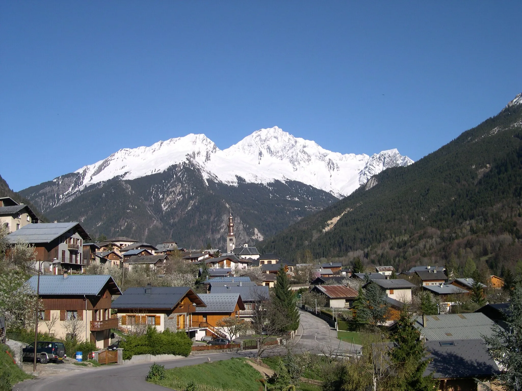
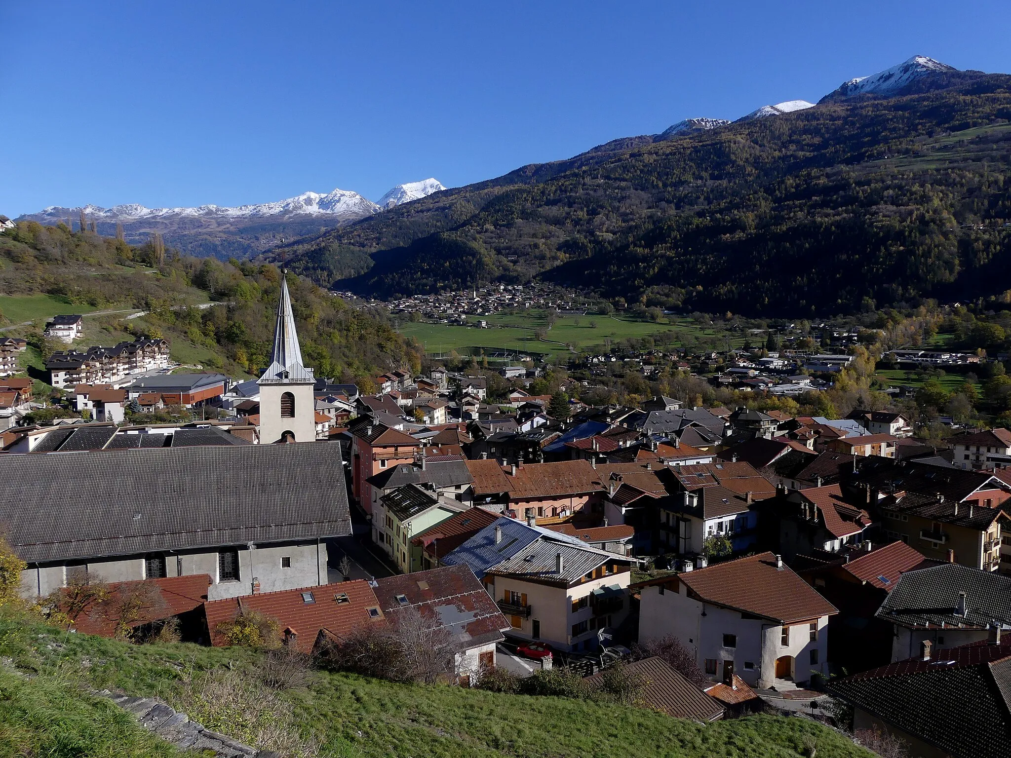
LanslevillardVillageLanslevillard is a beautiful alpine village with traditional Savoyard architecture and stunning natural scenery.
83 km
83 km
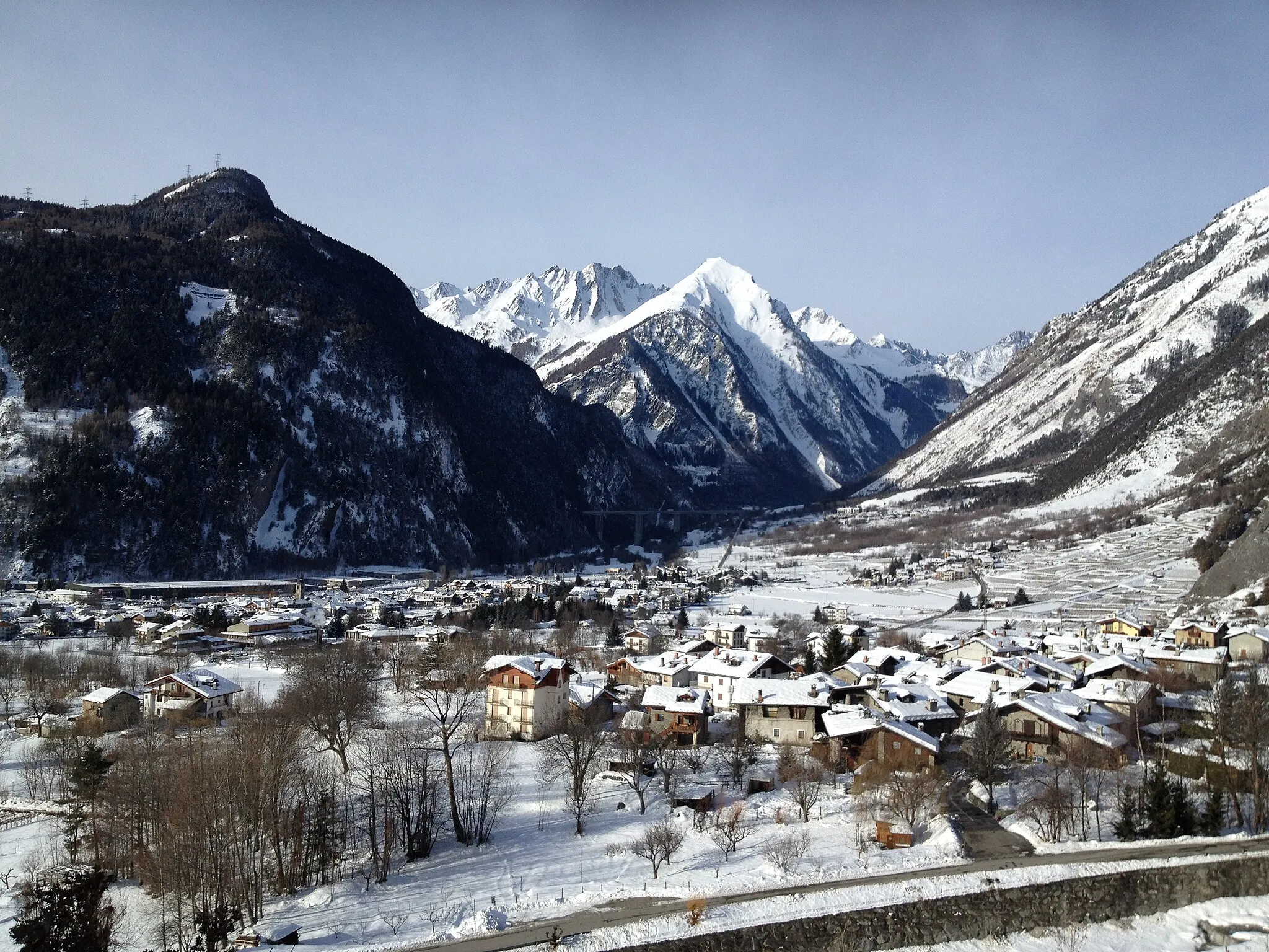
BessansVillageBessans is a picturesque mountain village known for its cross-country skiing trails and charming atmosphere.
91 km
91 km
Bonneval-sur-ArcVillageBonneval-sur-Arc is one of France's most beautiful villages, boasting charming stone houses and stunning alpine surroundings.
104 km
104 km
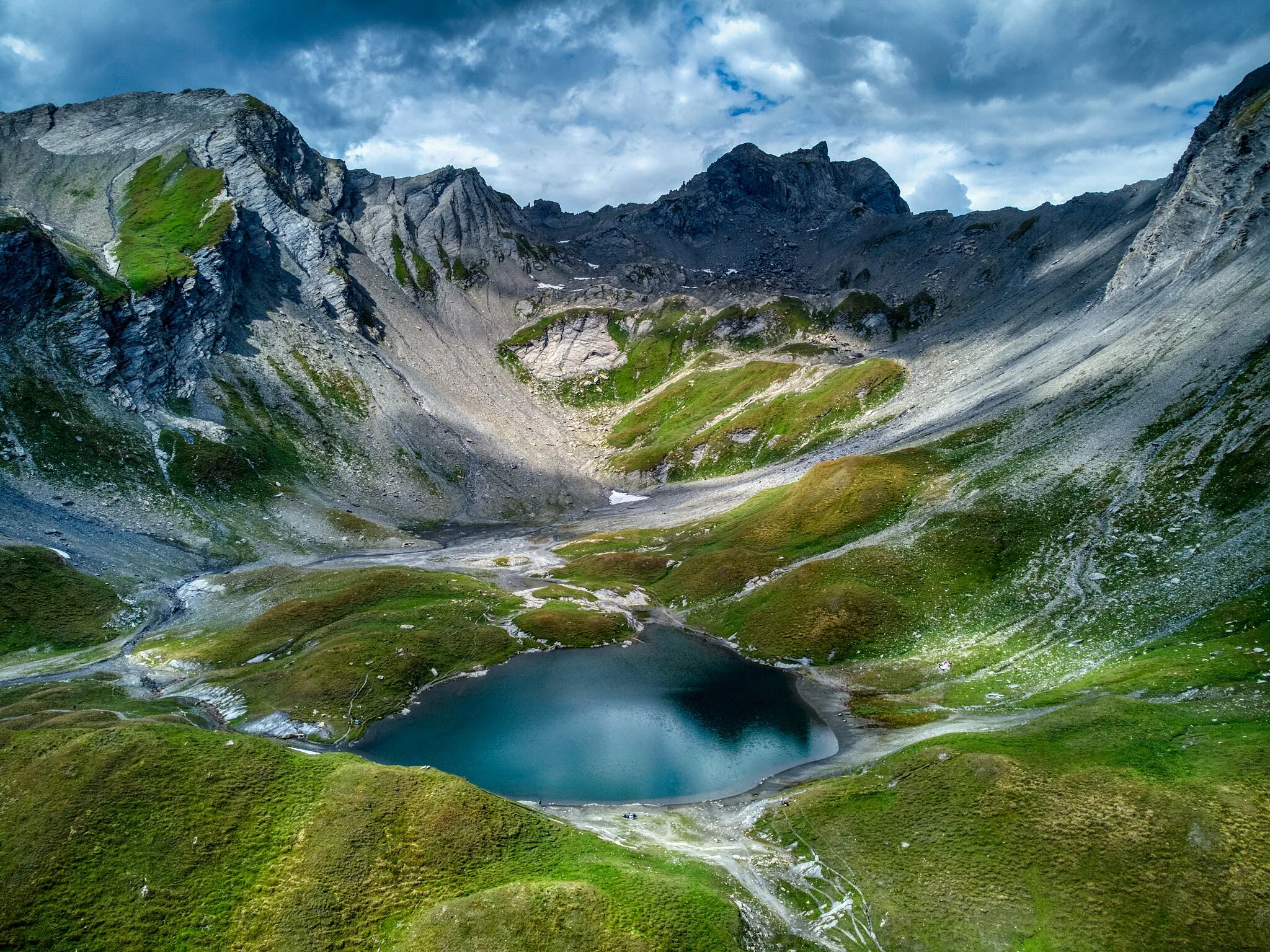
Col de l'Iseran2770 mViewpointCol de l'Iseran is the highest paved pass in the Alps, offering magnificent views and a true sense of achievement for climbers.
112 km
112 km
Le LaisinantHamletLe Laisinant is a small hamlet located in a picturesque valley, surrounded by towering mountains and lush green meadows.
114 km
114 km
Finish: Val-d'Isère Village centerVal-d'Isère: Cyclist's paradise with access to famous Col de l'Iseran.
Cycling routes nearby: