Around Köpenick
A road cycling route starting from Britz
Embark on a road cycling adventure around Köpenick, a historical district of Berlin
Map
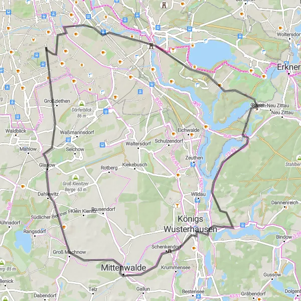
This road cycling route takes you on a journey through the charming district of Köpenick, known for its rich history and cultural heritage. With an ascent of 162 meters and a distance of 78 kilometers, this route is suitable for experienced cyclists. Enjoy the breathtaking views from Aussichtspunkt Bunkerberg, discover the fascinating history of Schloss Köpenick, and soak in the beauty of Müggelheim. The highlights along the route have been scored based on their attractiveness and are described below.
road
78 km
162 m
Tough
Route profile
Highlights on the route
0 km
0 km
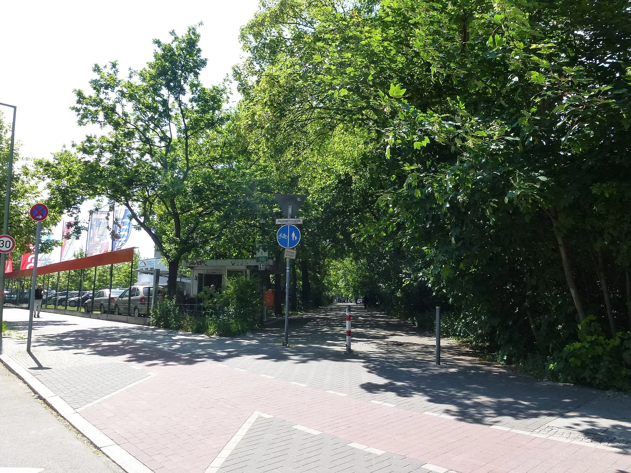
Start: Locality centerBritz: Cycling through Urban & Rural
Britz is a locality in Berlin, Germany. From a cyclist's perspective, Britz offers a mix of urban and rural cycling experiences. The roads in the area are relatively flat and well-maintained, making it suitable for both road and gravel cycling. There are several cycling routes and trails that pass through Britz, allowing cyclists to explore the surrounding countryside and enjoy the scenic views. Additionally, Britz is located near the Berliner Mauerweg, a famous cycling route that follows the path of the former Berlin Wall. Overall, Britz is a great locality for cyclists looking to explore both urban and rural areas.12 km
12 km
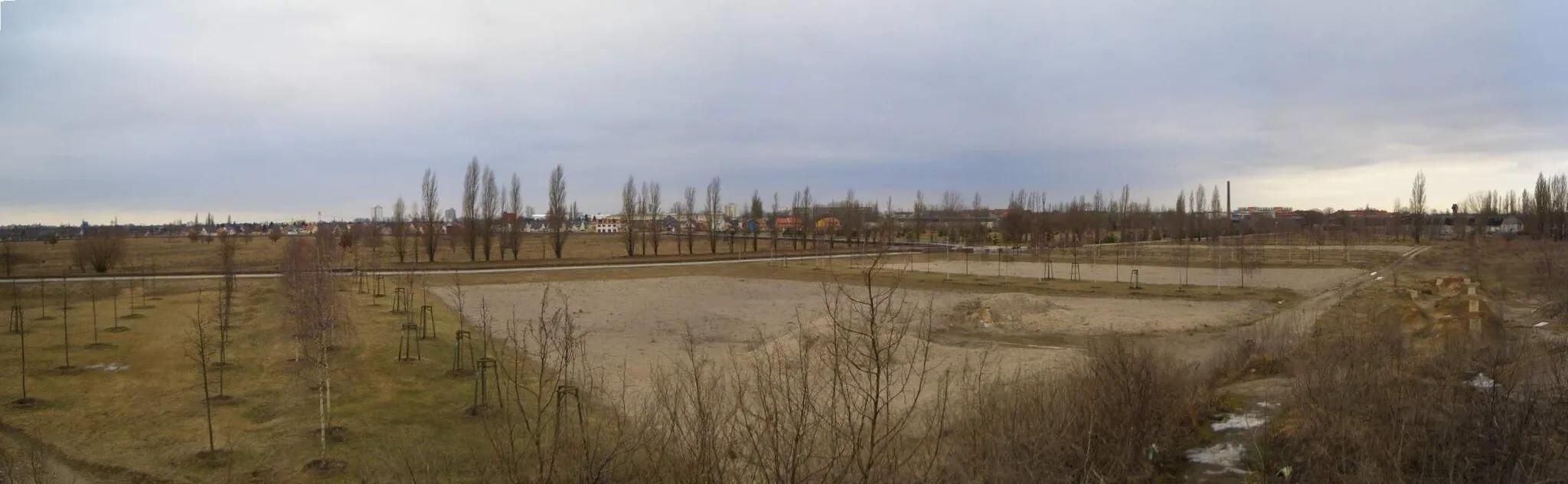
Aussichtspunkt BunkerbergViewpointAussichtspunkt Bunkerberg offers panoramic views over the surrounding landscape. Take a moment to admire the natural beauty and tranquility from this elevated spot.
13 km
13 km
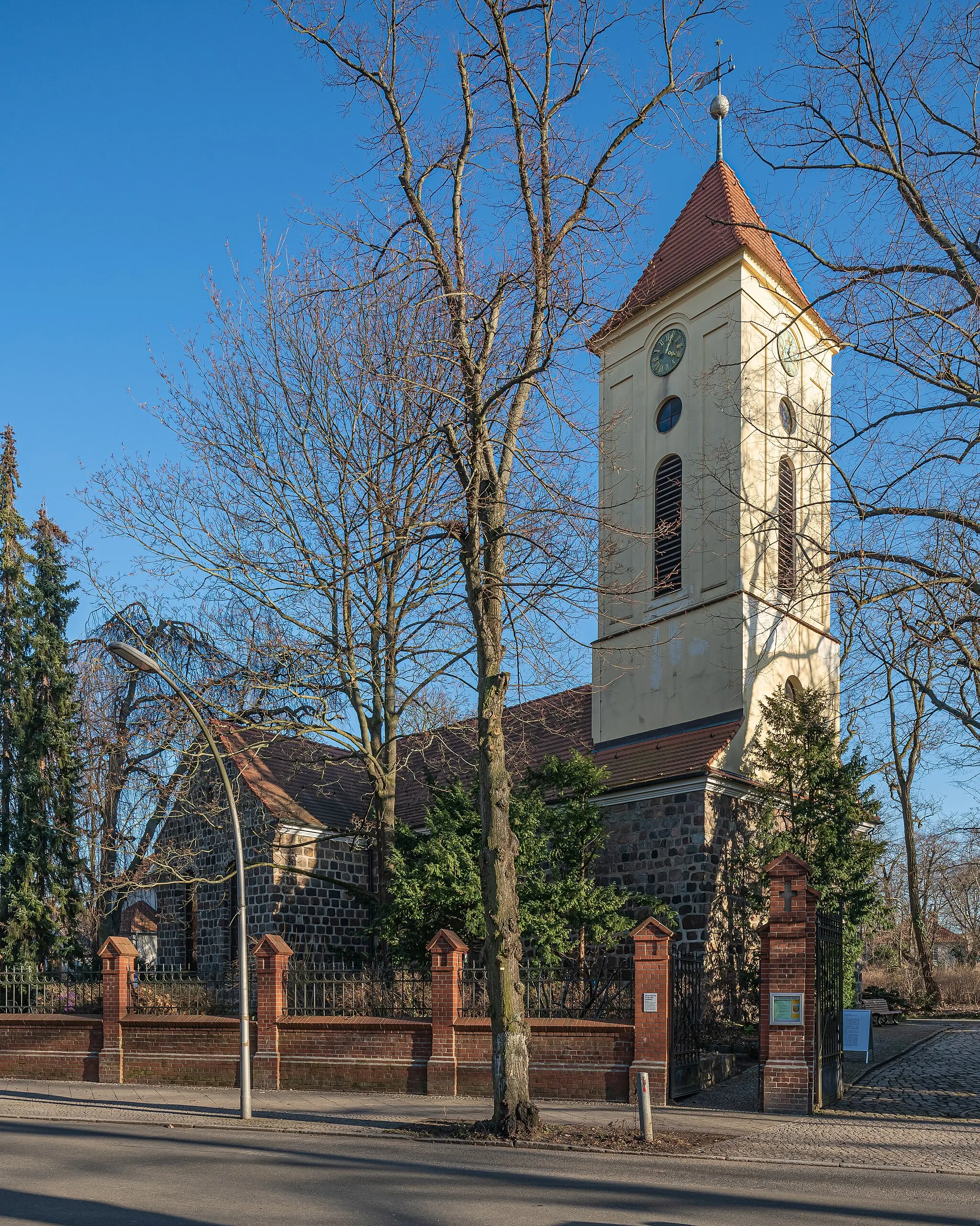
Schloss KöpenickCastleSchloss Köpenick is a magnificent castle located on an island in the Dahme River. Explore the castle museum and learn about the district's fascinating history.
20 km
20 km
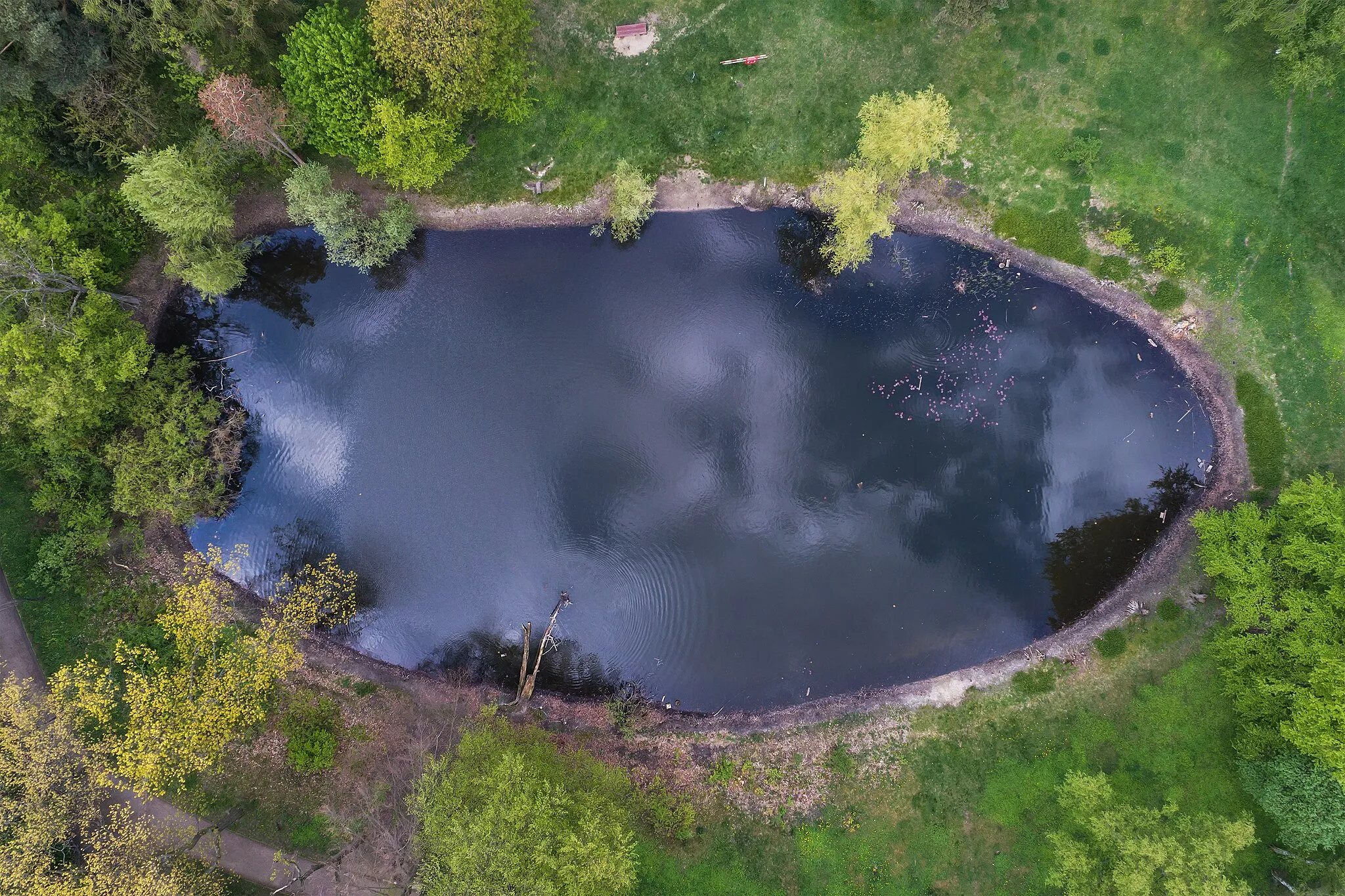
MüggelheimSub-urbMüggelheim is a small village nestled at the eastern edge of Müggelsee, the largest lake in Berlin. Enjoy the peacefulness and stunning natural scenery of this idyllic spot.
21 km
21 km
Seddinberg63 mPeakSeddinberg is a picturesque hill with panoramic views over the surrounding countryside. Get your heart pumping with a challenging climb up to this scenic overlook.
43 km
43 km
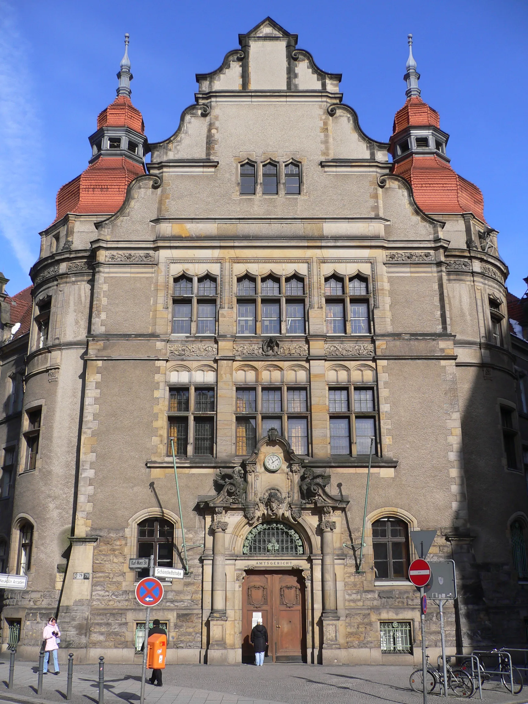
Königs WusterhausenTownKönigs Wusterhausen is a historic town with charming streets and traditional architecture. Take a stroll through the old town and soak in the atmosphere of this cultural gem.
53 km
53 km
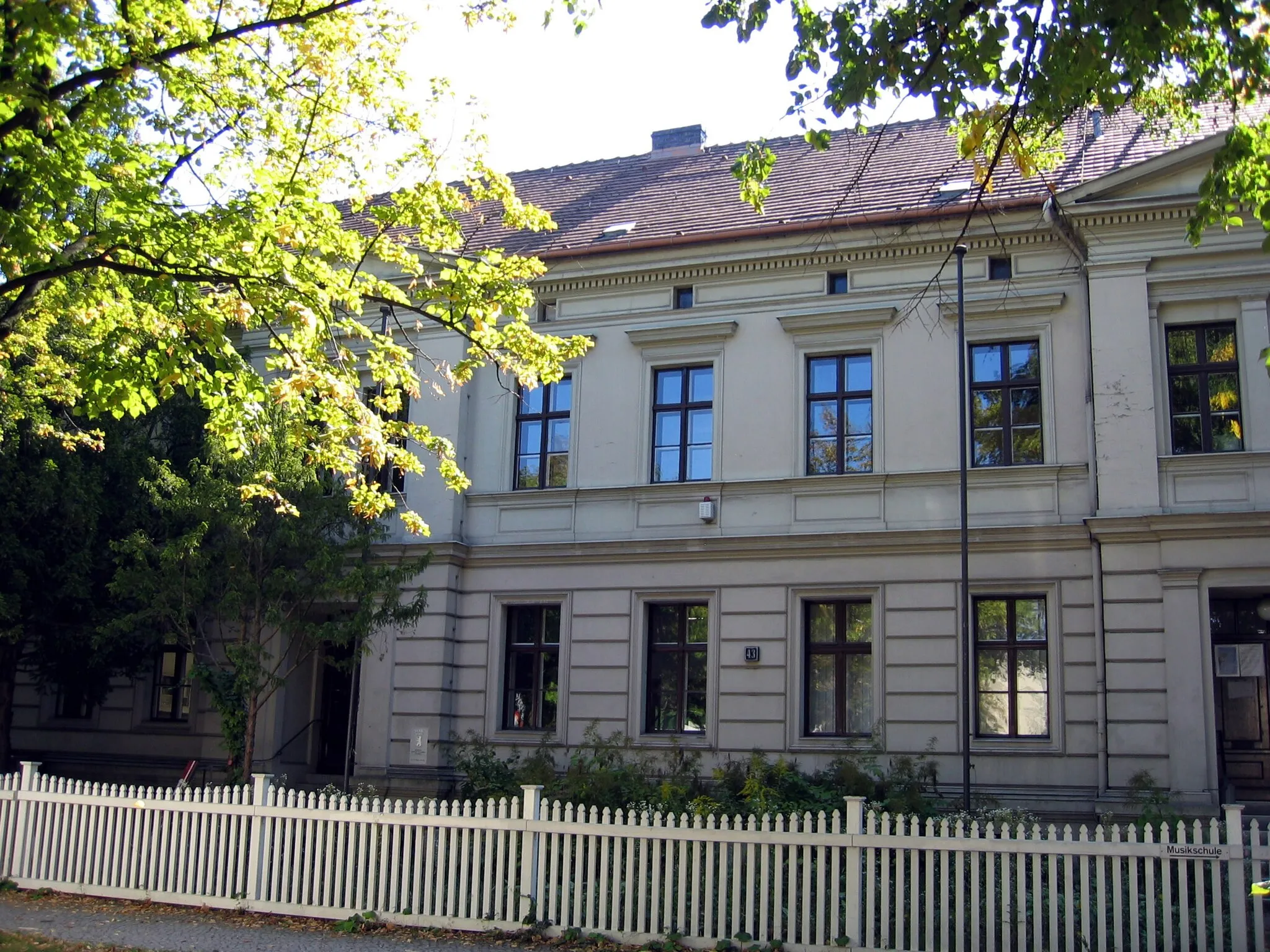
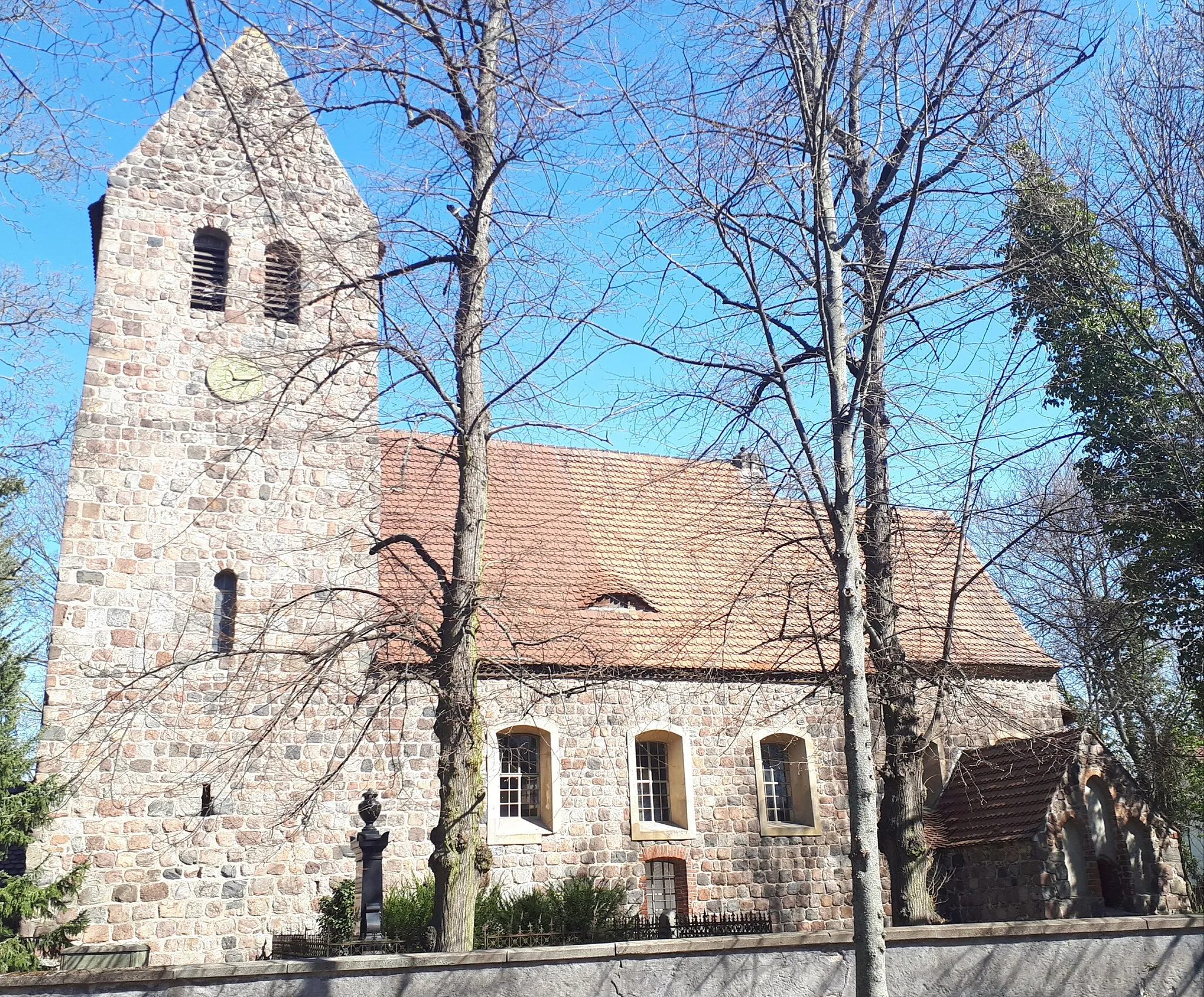
MittenwaldeTownMittenwalde is a small town with a medieval charm. Explore the narrow streets, visit the old church, and learn about the town's history dating back to the 13th century.
56 km
56 km
Silberberg40 mPeakSilberberg is a popular cycling spot known for its challenging climbs and rewarding descents. Feel the adrenaline rushing as you conquer this iconic hill.
64 km
64 km
DahlewitzVillageDahlewitz is a well-known cycling destination, offering beautiful countryside scenery and smooth roads that are perfect for fast rides.
78 km
78 km
Schloss BritzAttractionSchloss Britz, located on the outskirts of Berlin, is a must-visit highlight. Marvel at the magnificent architecture and explore the surrounding gardens and parkland.
78 km
78 km
Finish: Locality centerBritz: Cycling through Urban & Rural
Cycling routes from Britz:
Cycling routes nearby: