Britz to Sundowner's Delight
A road cycling route starting from Britz
Embark on an evening adventure to catch Berlin's mesmerizing sunsets
Map
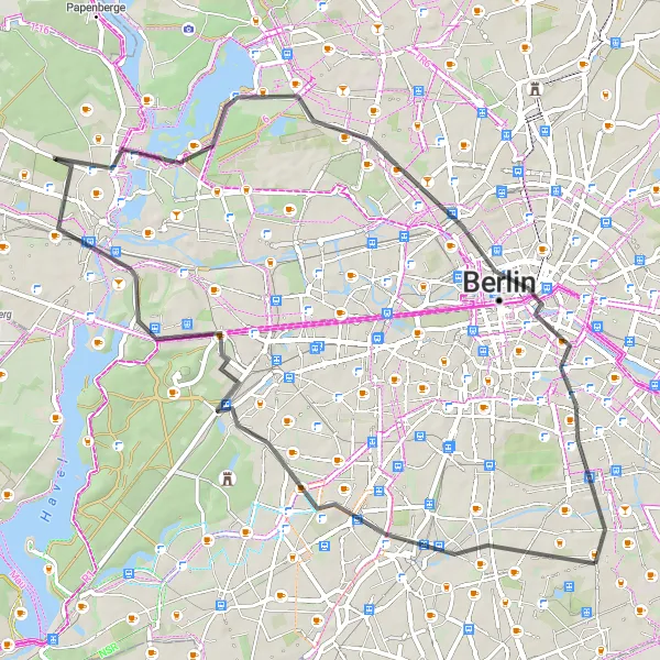
Escape from the bustling city and enjoy a serene ride through scenic landscapes from Britz towards the sunset. Explore Insulaner, Grunewald, Murellenberg, Spandau, Lake Tegel, Wedding, Berlin, and finally, the Sundowner viewpoint. This road cycling route covers a distance of 57 km with an ascent of 183 m. Offering a moderate level of difficulty, it is perfect for a refreshing evening ride and capturing the captivating beauty of Berlin's sunset. Take in the freshness of the air and witness the vibrant colors painting the sky as the sun sets over the city.
road
57 km
183 m
Chill
Route profile
Highlights on the route
0 km
0 km
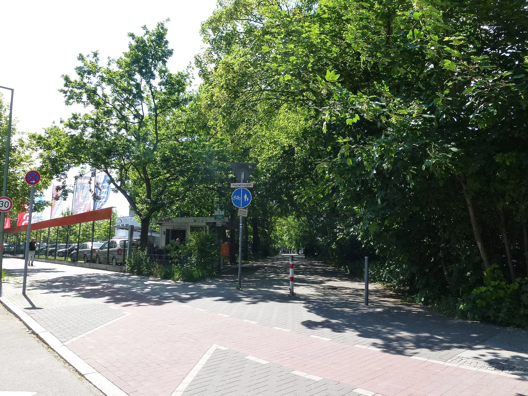
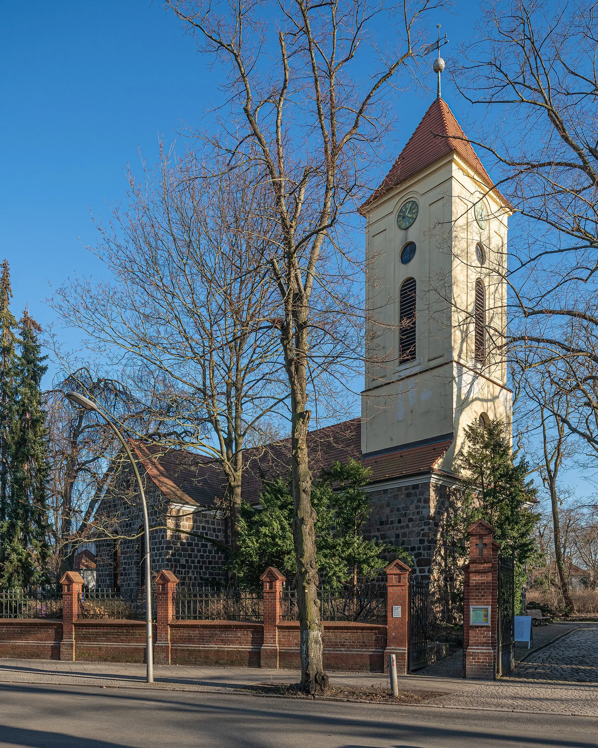
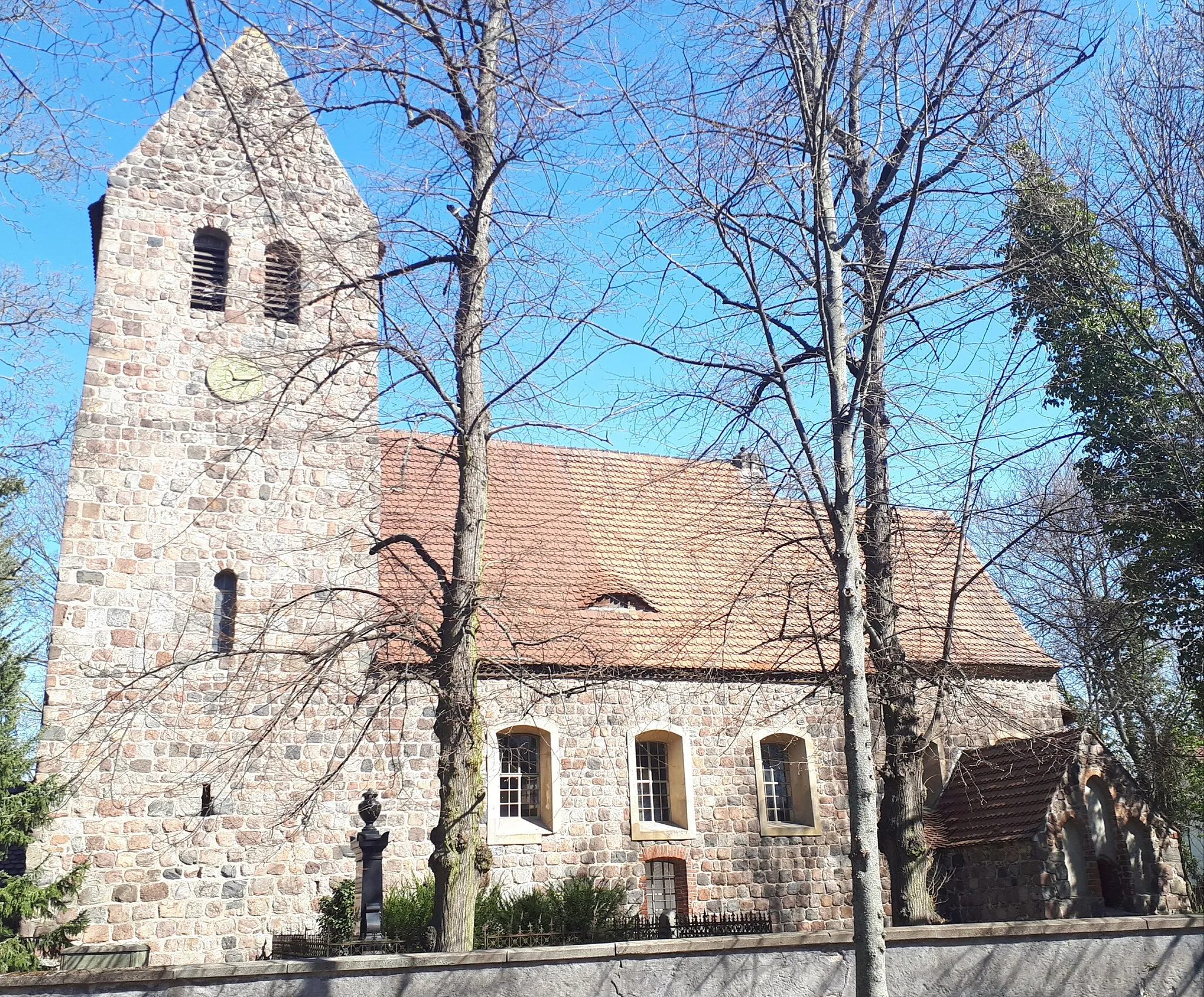
Start: Locality centerBritz: Cycling through Urban & Rural
Britz is a locality in Berlin, Germany. From a cyclist's perspective, Britz offers a mix of urban and rural cycling experiences. The roads in the area are relatively flat and well-maintained, making it suitable for both road and gravel cycling. There are several cycling routes and trails that pass through Britz, allowing cyclists to explore the surrounding countryside and enjoy the scenic views. Additionally, Britz is located near the Berliner Mauerweg, a famous cycling route that follows the path of the former Berlin Wall. Overall, Britz is a great locality for cyclists looking to explore both urban and rural areas.6 km
6 km
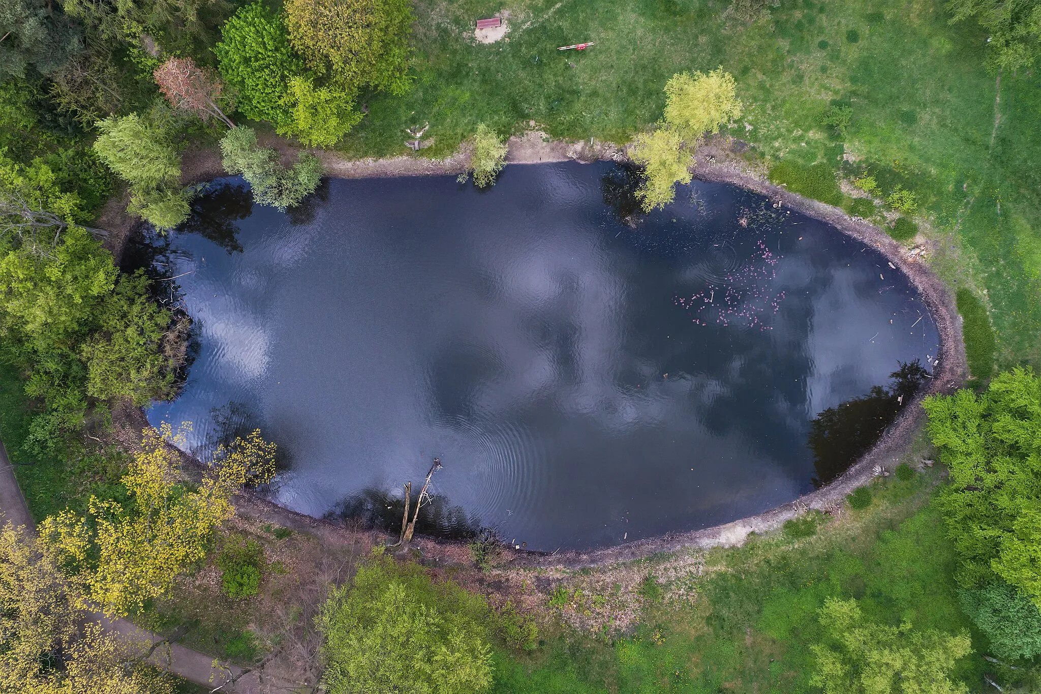
Insulaner78 mPeakStop at the Insulaner Hill viewpoint and watch the sun descend below the horizon, painting the city in golden hues.
14 km
14 km
GrunewaldSub-urbPass through the enchanting Grunewald forest known for its tranquil beauty and serene trails.
21 km
21 km
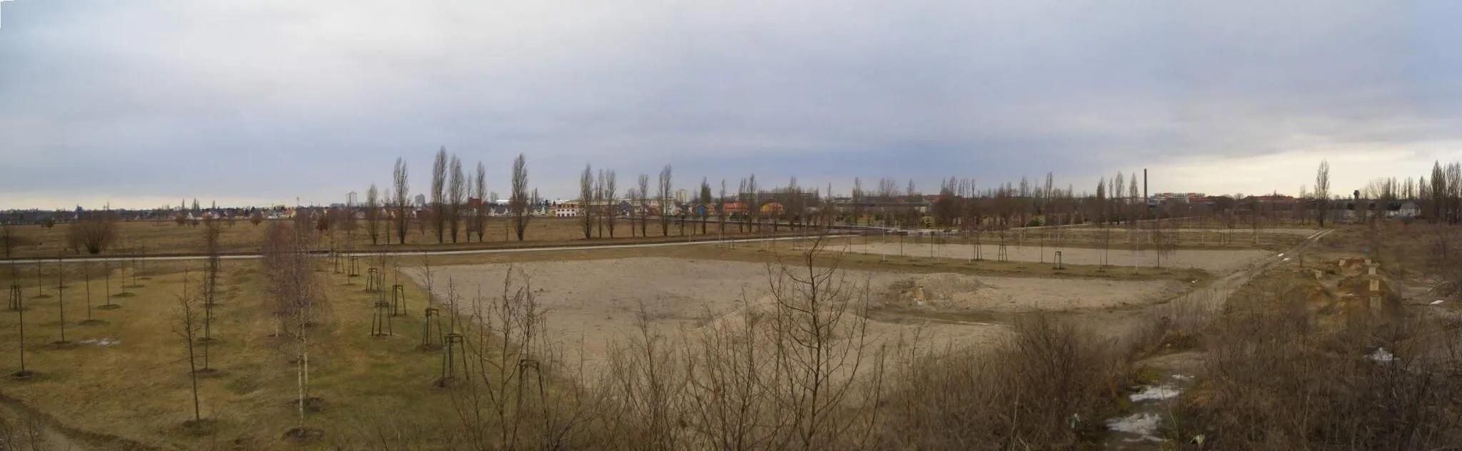
Murellenberg62 mPeakCycle through the hills of Murellenberg, offering glimpses of the surrounding nature reserves.
24 km
24 km
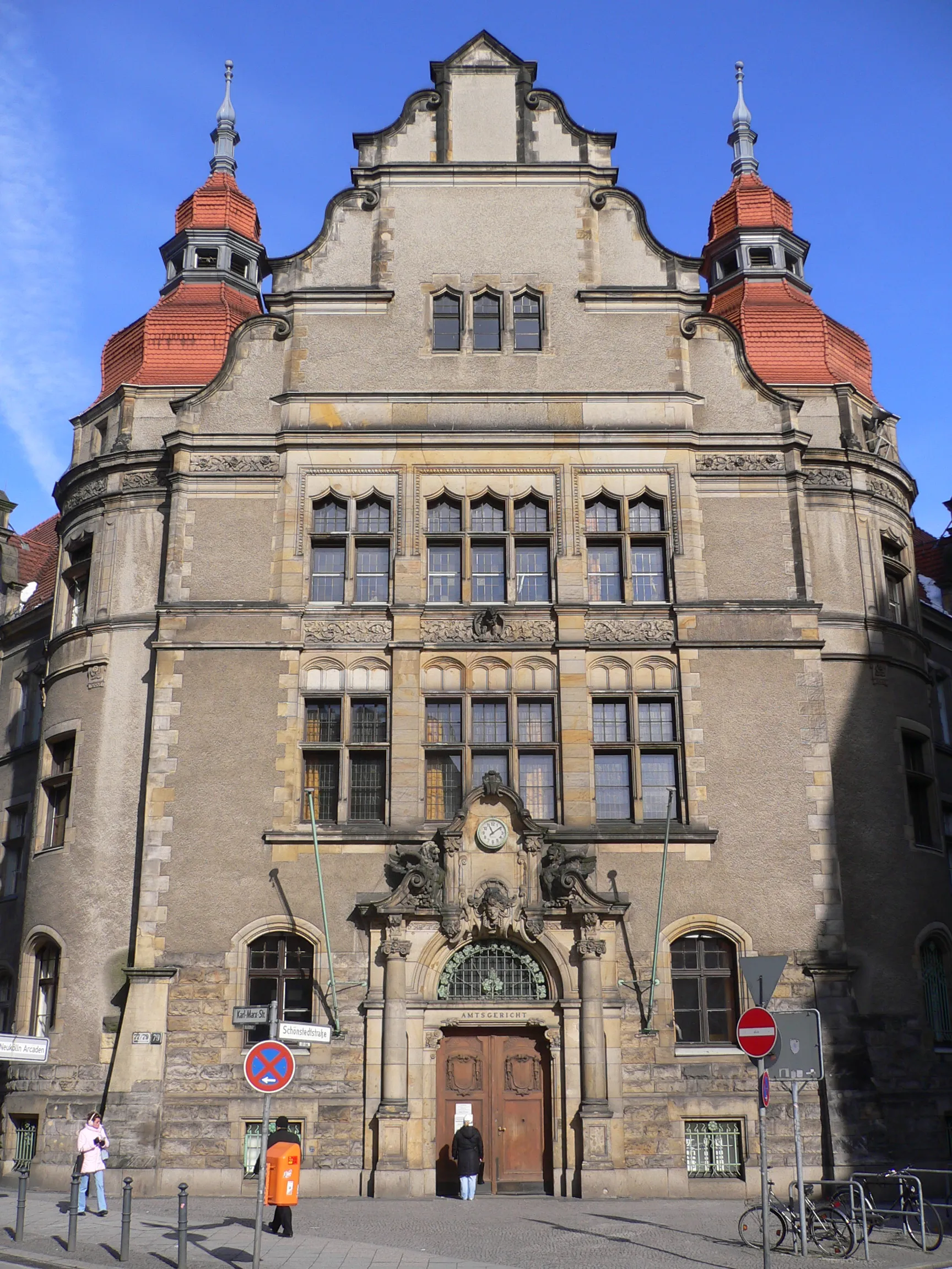
SpandauSub-urbDiscover the historic district of Spandau, home to medieval architecture and breathtaking views along the Havel River.
35 km
35 km
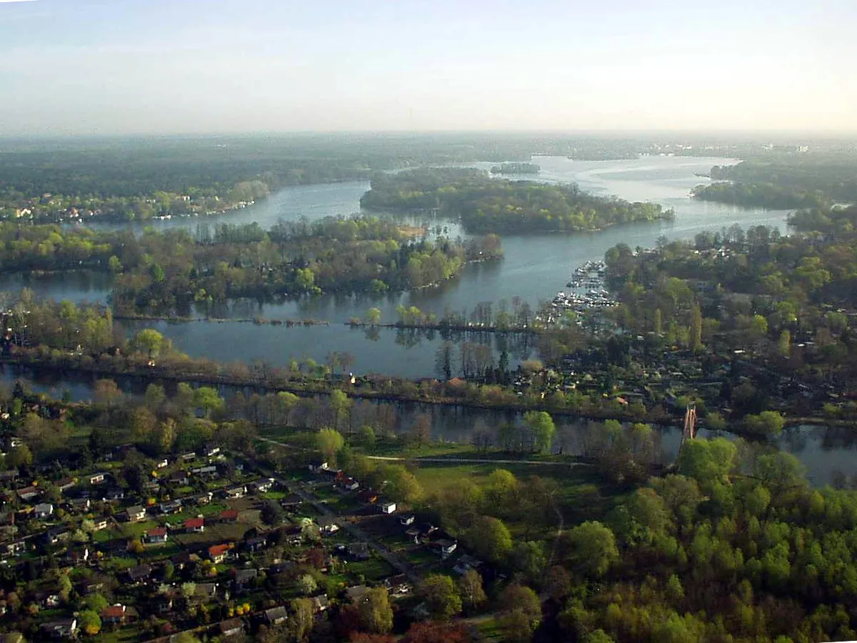
Lake TegelLakeExperience the stunning Lake Tegel, offering a variety of recreational activities and serene waterside views.
42 km
42 km
WeddingSub-urbPass through Wedding, a vibrant district known for its multicultural charm and lively atmosphere.
47 km
47 km
BerlinCityMake your way through the heart of Berlin, exploring its vibrant streets and iconic landmarks.
53 km
53 km
SundownerViewpointReach the Sundowner viewpoint to witness Berlin's mesmerizing sunsets, casting breathtaking colors across the sky.
57 km
57 km
Finish: Locality centerBritz: Cycling through Urban & Rural
Cycling routes from Britz:
Cycling routes nearby: